


![]()


Durata
 4:40 h
Distanza
 14 km
14 km Ascesa
 450 m
450 mDiscesa
 450 m
450 mH Max
 236 m
236 mH Min
 65 m
65 mThe path of the sun in Limone sul Garda
DESCRIPTION
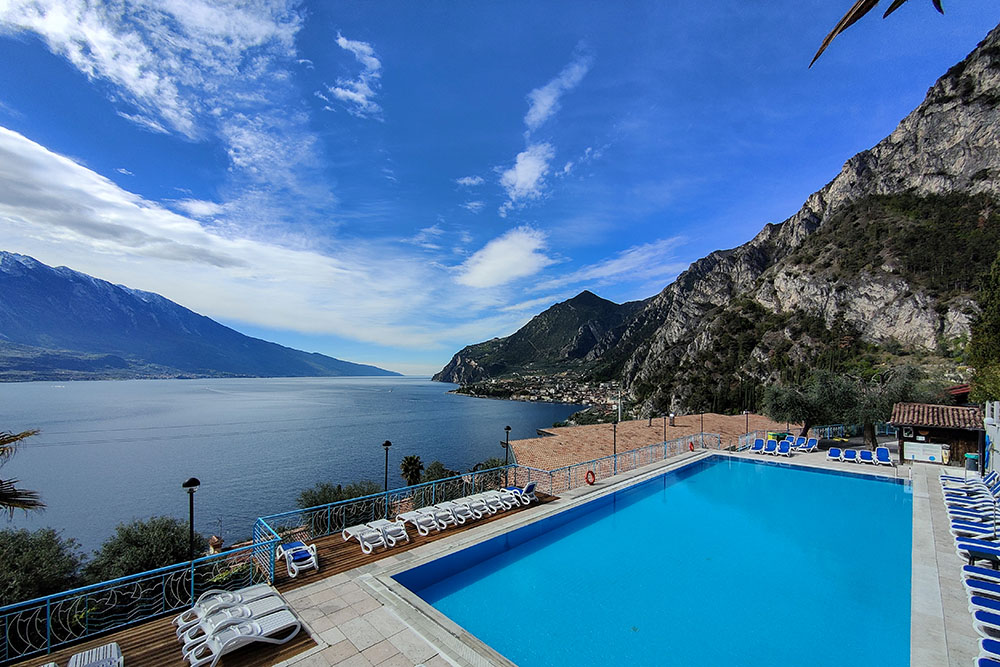
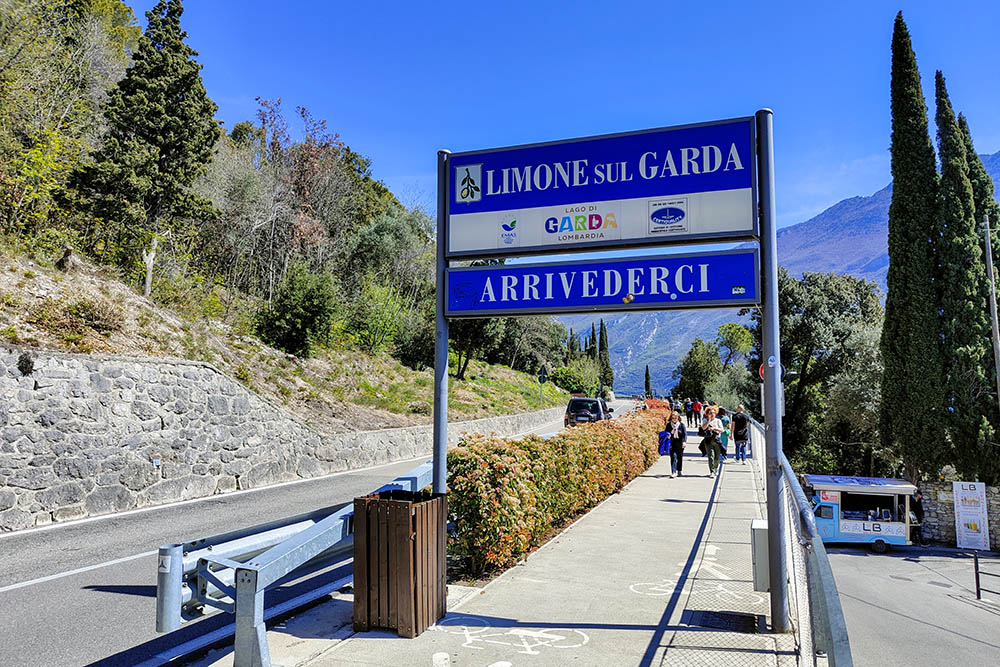
Limone sul Garda and a beautiful walk overlooking the lake.
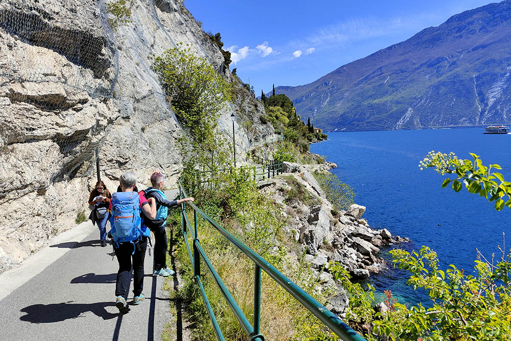
The Sentiero del Sole in Limone sul Garda is an exceptional hiking route that offers breathtaking views of Lake Garda. The excursion begins in the center of Limone sul Garda and ends at the border with Trentino, crossing olive groves, lemon groves and the characteristic stone houses of the area. There are plenty of opportunities along the way to stop and enjoy the spectacular view of the lake and surrounding mountains. In particular, there are some panoramic points that allow you to enjoy the beauty of the landscape and take unforgettable photos. No less interesting is a visit to the remains of the fortifications from the two world wars and the Scopino waterfall.
Due to the large number of tourists, it is recommended to travel in spring or autumn.
ITINERARY
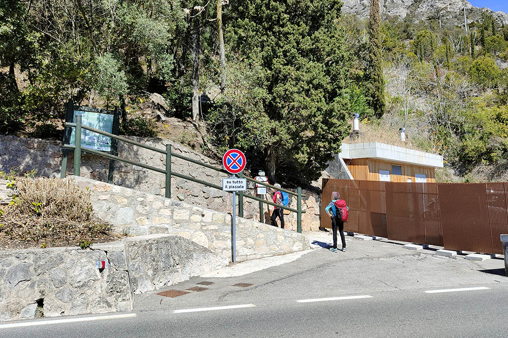
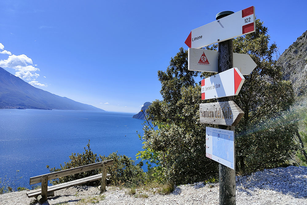
From the center of Limone (90 m) head north. From Piazza Garibaldi (67 m) follow the signs for the Church of San Rocco (82 m). Once you reach the church, continue north and follow the signs for the Sentiero del Sole n. 135. Once you reach Sopino (92 m), leave the lake shore and turn left towards Alla Cascata. After a short climb you reach the Scopino waterfall (165 m). Return to the lakeshore the same way and continue north. Once you reach the start of the cycle/pedestrian path, continue for about a hundred meters and then cross the road and take path no. 122, in the direction of Punta Larici. Go up a steep path until you find a crossroads (230 m). Here you turn right, n.135 Sentiero del Sole you pass a Calcara, some ruins from the 15-18s and you reach the bunkers of the Second World War (168 m). Disassembly and return to the cycle/pedestrian path. Follow the path to the border between Lombardy and Trentino/Alto Adige (73 m). Now let's go back to Limone along the lake.
EXCURSION DATE
April 16, 2023
STARTING POINT
Limone on Lake Garda
REFRESHMENT POINT
In Limone on Lake Garda
AUTHOR’S SUGGESTIONS
To find a place in the indicated car park, it is necessary to arrive in Limone sul Garda by 8:00.
SAFETY TIPS
The viability of the proposed itinerary, like all mountain morphology, is subject to environmental changes due to natural events and weather conditions. Therefore, before leaving, consult the competent tourist offices and / or the refuges of reference.
Our GPX tracks are only indicative, that is, the route was carried out at best with the conditions of the trails and weather of that day. So always consider what to do on site.
Also remember to evaluate the route based on your physical abilities, training and the equipment you have.
You should leave someone the route you intend to do told.
Remember that the emergency number is 112.
EQUIPMENT
It is recommended to have the appropriate equipment for the route, weather conditions and season: windproof and / or rain jacket, map and / or GPS device, goggles, sunscreen, boots, first aid kit, specific clothing, gloves, backpack with food and drink.
RECOMMENDED MAPS
Tabacco 071 Prealpi Gardesane - Tremalzo - Valle di Ledro - L. D'Idro
INTERESTING LINKS
https://www.tuttogarda.it/
HOW TO ARRIVE
A22 exit Rovereto Sud - Lago di Garda Nord. Follow the signs for Riva del Garda. From Riva del Garda SS45bis to Limone sul Garda.
PARKING AREA
Small free car park with 11 spaces.
GPS coordinates: 45.805642, 10.784933
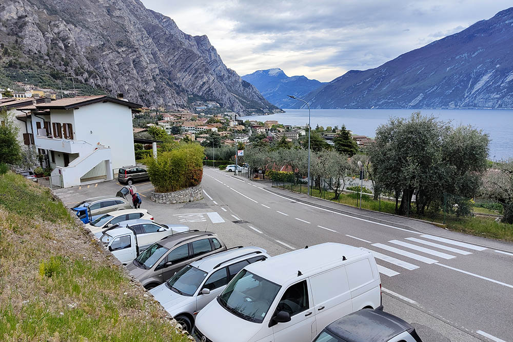
Parcheggio gratuito a Limone sul Garda
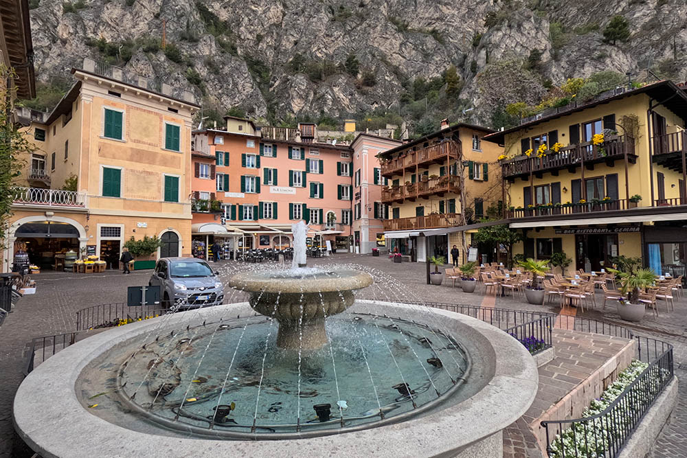
La bella Piazza Garibaldi
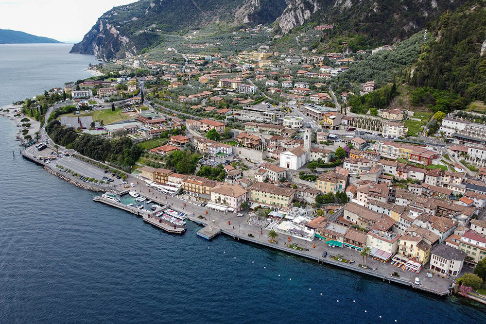
Vista su Limone sul Garda
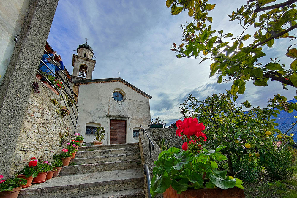
Chiesa di San Rocco
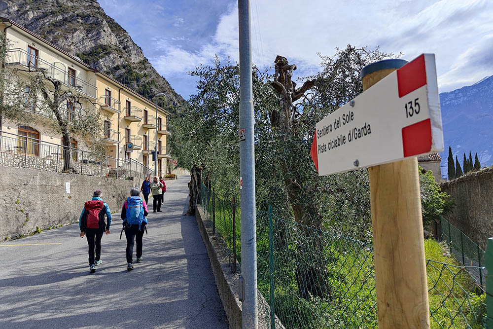
Seguiamo il sentiero n 135
Vista sul lago
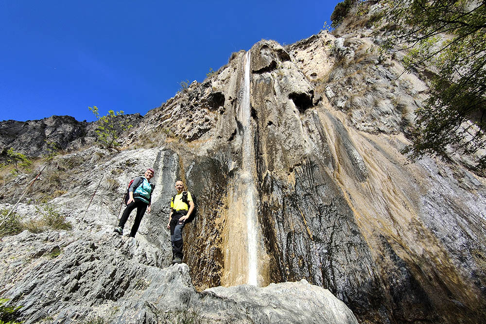
Cascata di Scopino
Ritornati sul lungolago
Inizio della ciclopedonale
Ora prendiamo il sentiero 122
Riprendiamo il Sentiero del Sole
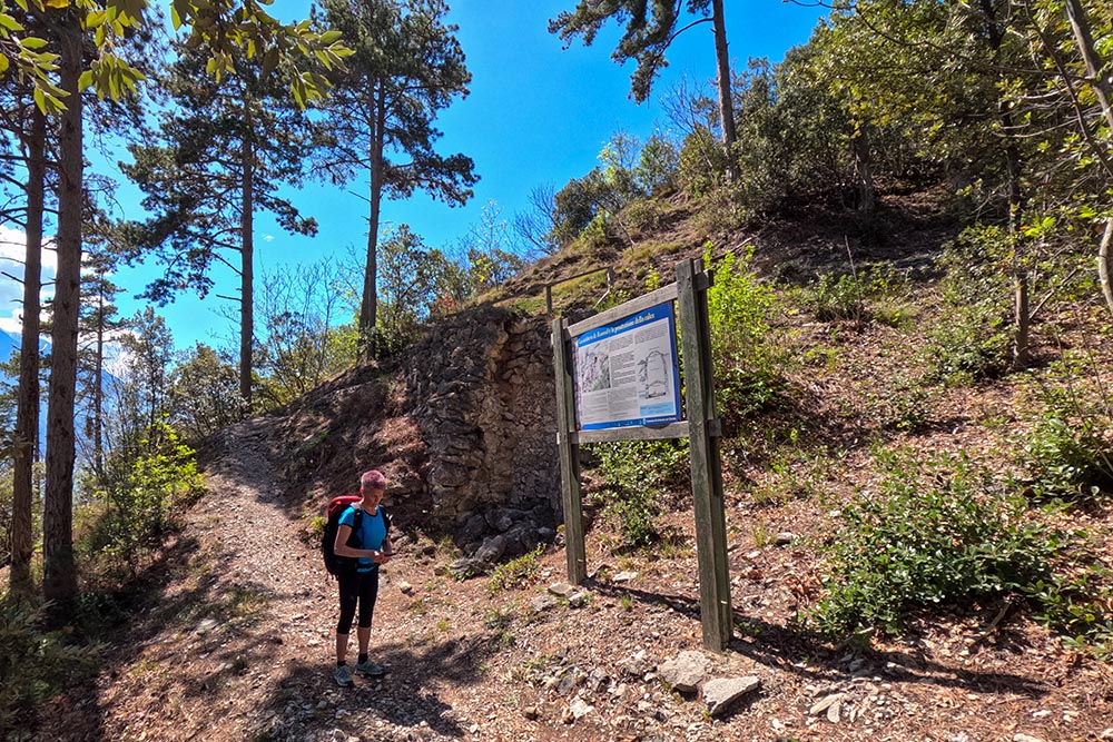
La Calcara
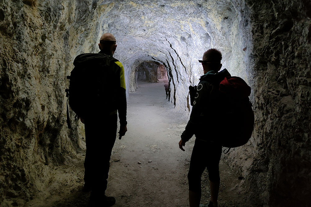
All'interno dei bunker
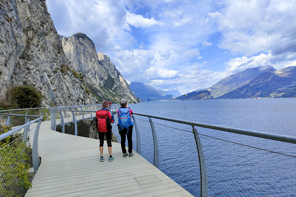
Sulla bella ciclopedonale
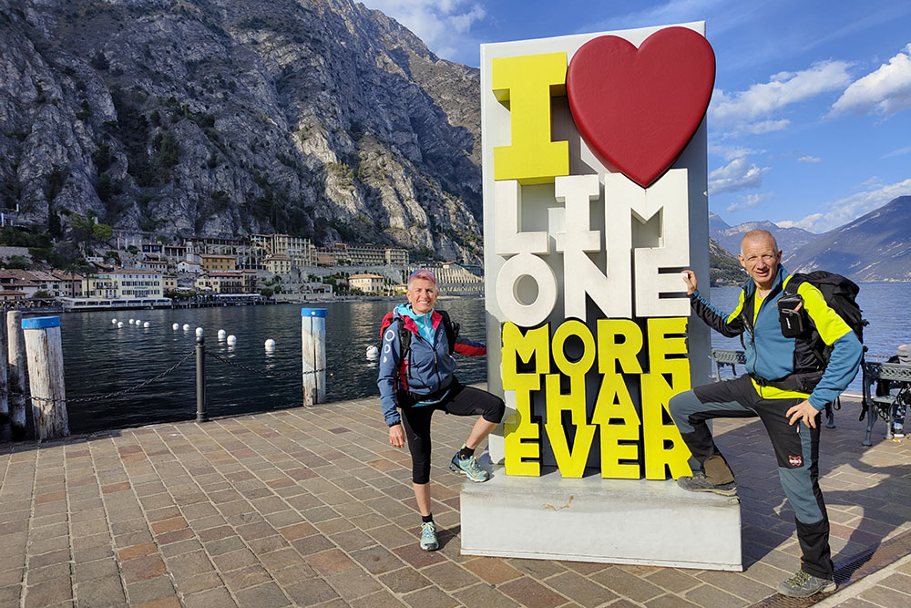
Ritornati a Limone sul Garda


