


![]()


Durata
 5:30 h
Distanza
 16,1 km
 Ascesa
 384 m
384 mDiscesa
 1047 m
H Max
 1622 m
H Min
 913 m
913 mPath of the Waterfalls in Val Genova
DESCRIPTION
Long walk in Val Genova between streams, waterfalls and lush woods.
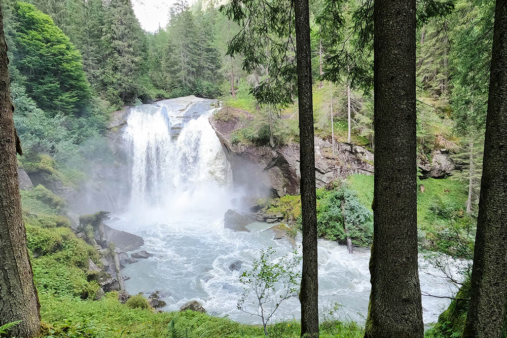
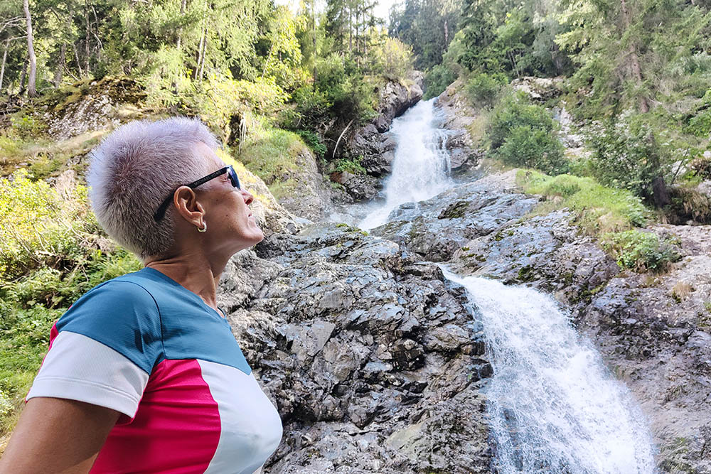
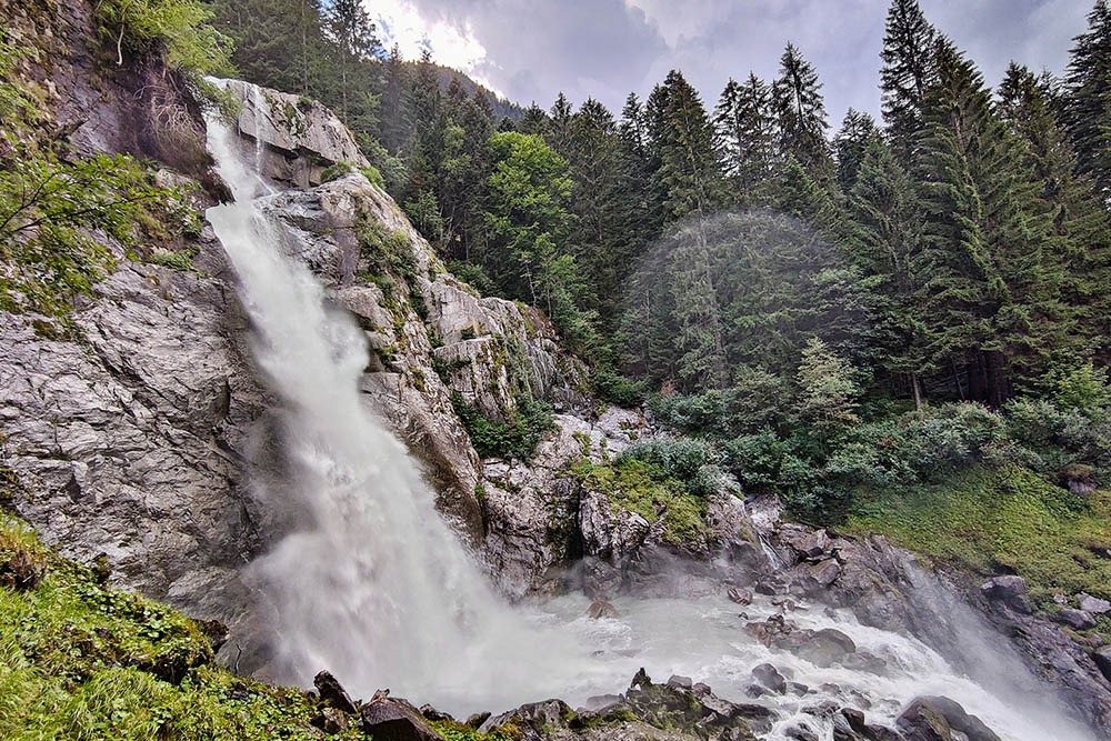
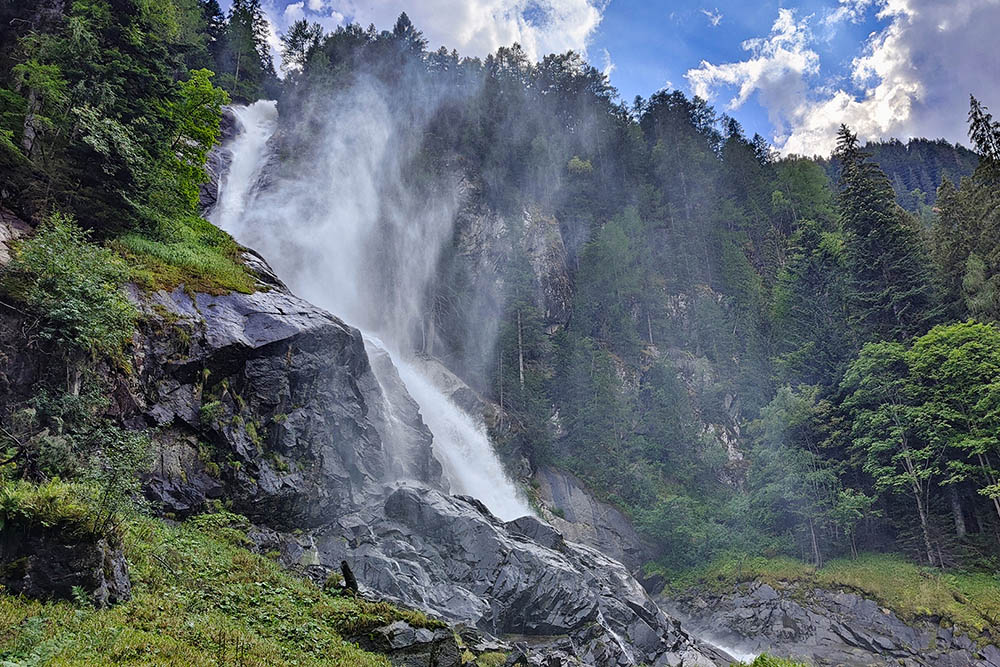
The Waterfall Trail in Val Genova is a well-known and popular itinerary, because hikers - often families with small children - can easily move around the valley with the shuttles. In addition to the beautiful waterfalls of Pedruc, Casina Muta, Folgorìda, Lares and Nardis, you can admire the beautiful Dolomite peaks of the Adamello, the beautiful and impetuous river Sarca and breathe deeply in the lush woods. There is no shortage of refreshment points or equipped picnic spots.
ITINERARY
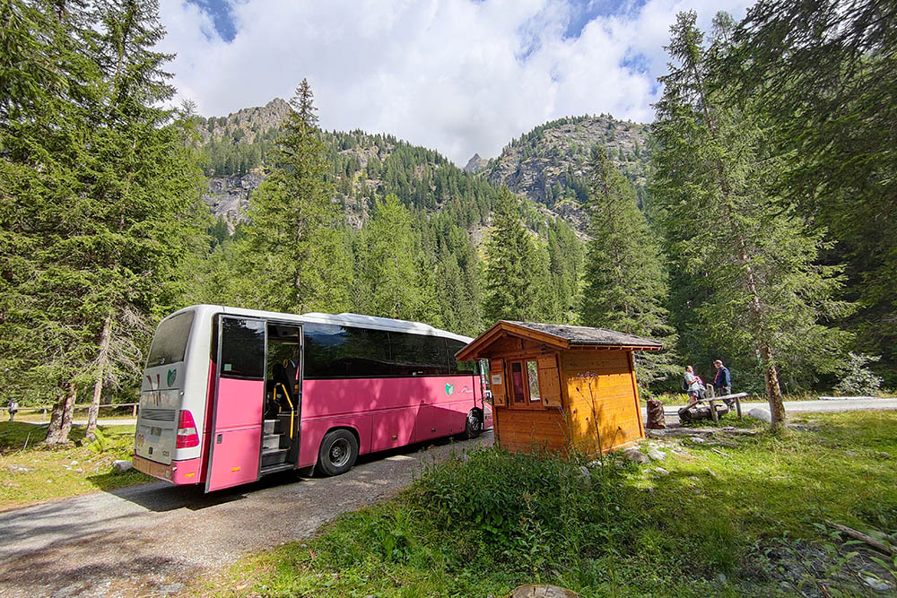
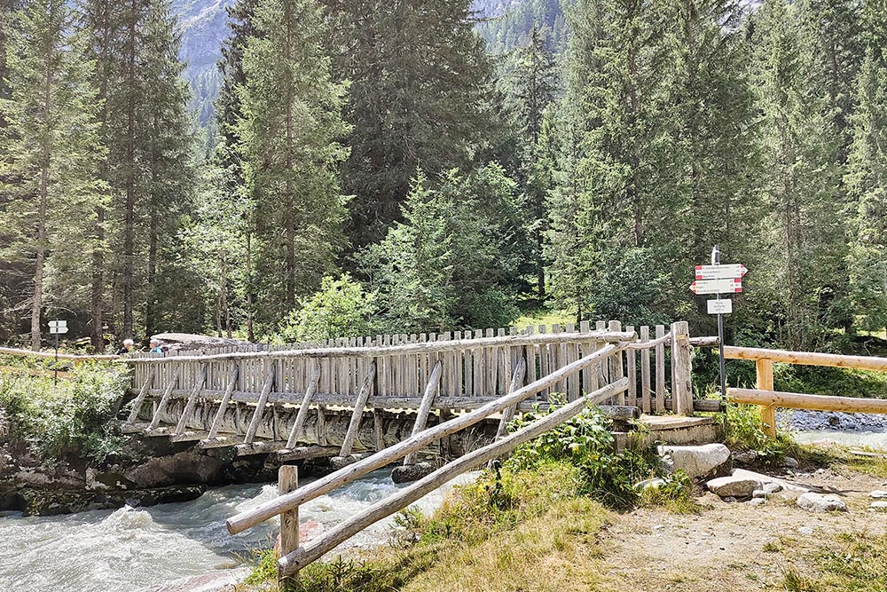
After parking at P4 (913 m) take the shuttle to Val Genova at Ponte Verde and go down to Malga Bedole (1580 m). Continue along the dirt road towards the Rifugio Bedole. At the first crossroads, turn left and take path B01 and follow it up to Ponte Verde. Following the well-marked path in order, you pass the Pedruc waterfall (1500 m), the Ponte del Camp (1435 m), the Casina Muta waterfall (1350 m). In Ragàda (1273 m) - near the Church of the Madonna della Neve - go up for 15 minutes to the Folgorìda waterfall (1363 m) and return to the church. Continuing on you arrive at the two Lares waterfalls: Inferiore (1190 m) and Superiore (1285 m). To see them you have to go up for about ten minutes following the signs on the SAT 214 path. Returning to the B01 you go down and reach the Nardis Waterfall (920 m) and return to the parking lot.
EXCURSION DATE
July 27, 2022
STARTING POINT
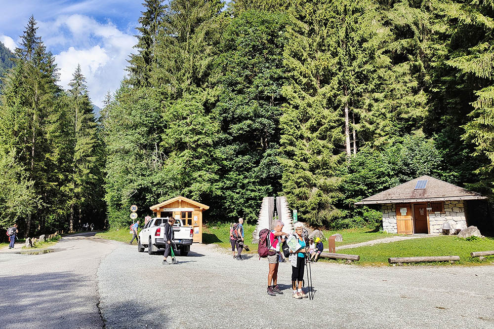
P4 parking in the Val Genova
REFRESHMENT POINT
Rifugio Stella Alpina, Rifugio Fontanabona, Chalet da Gino and Cascata di Nardis.
AUTHOR’S SUGGESTIONS
For those wishing to shorten the route, just take the shuttles and move inside the valley.
SAFETY TIPS
The viability of the proposed itinerary, like all mountain morphology, is subject to environmental changes due to natural events and weather conditions. Therefore, before leaving, consult the competent tourist offices and / or the refuges of reference.
Our GPX tracks are only indicative, that is, the route was carried out at best with the conditions of the trails and weather of that day. So always consider what to do on site.
Also remember to evaluate the route based on your physical abilities, training and the equipment you have.
You should leave someone the route you intend to do told.
Remember that the emergency number is 112.
EQUIPMENT
It is recommended to have the appropriate equipment for the route, weather conditions and season: windproof and / or rain jacket, map and / or GPS device, goggles, sunscreen, boots, first aid kit, specific clothing, gloves, backpack with food and drink.
RECOMMENDED MAPS
Tabacco 052 ADAMELLO - PRESANELLA
INTERESTING LINKS
https://mobility.pnab.it/it/location/valgenova/mobilita.html
https://www.pnab.it/track/sentiero-cascate/
HOW TO ARRIVE
From Carisolo you go up to the Val Genova up to the various parking lots. Alternatively, you can take the shuttles that depart from Tione di Trento or Madonna di Campiglio.
PARKING AREA
Paid P4 (you can also pay it online)
GPS coordinates: 46.169782, 10.724422
Partenza navetta - Ponte Verde
Arrivo con la navetta presso Malga Bedole
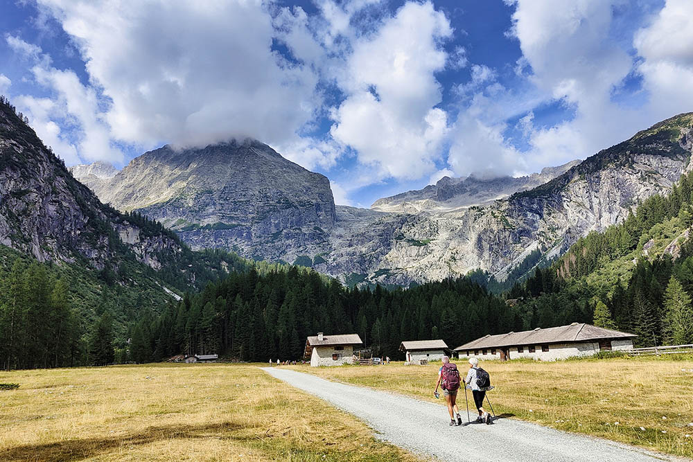
Malga Bedole
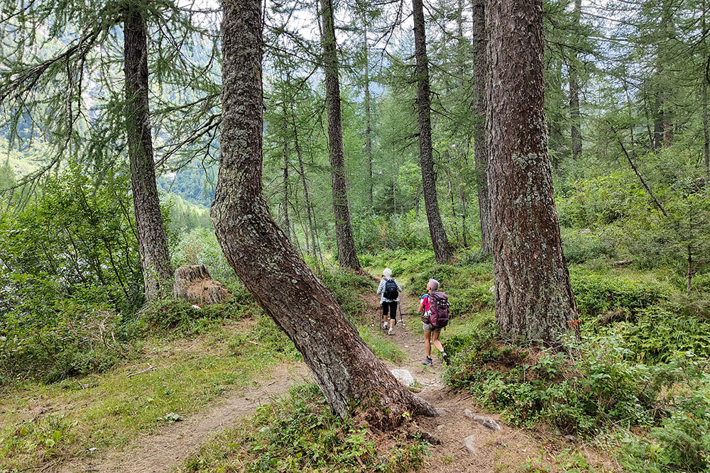
Sentiero delle Cascate
Ponte Pedruc
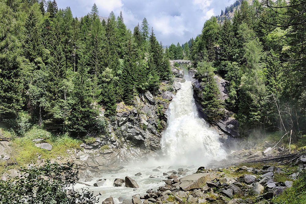
Cascata del Pedruc
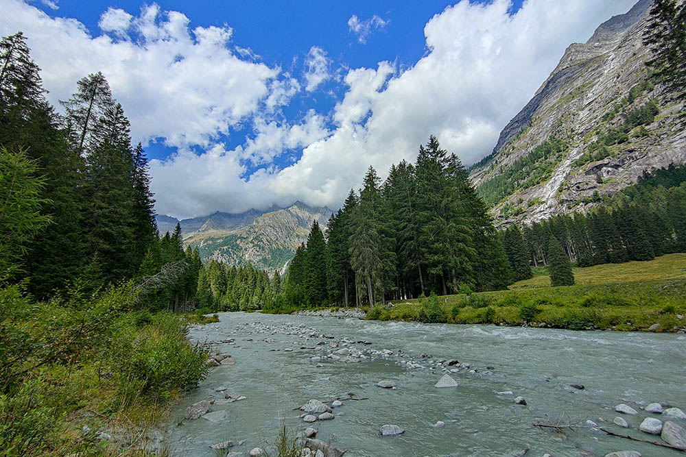
Il fiume Sarca
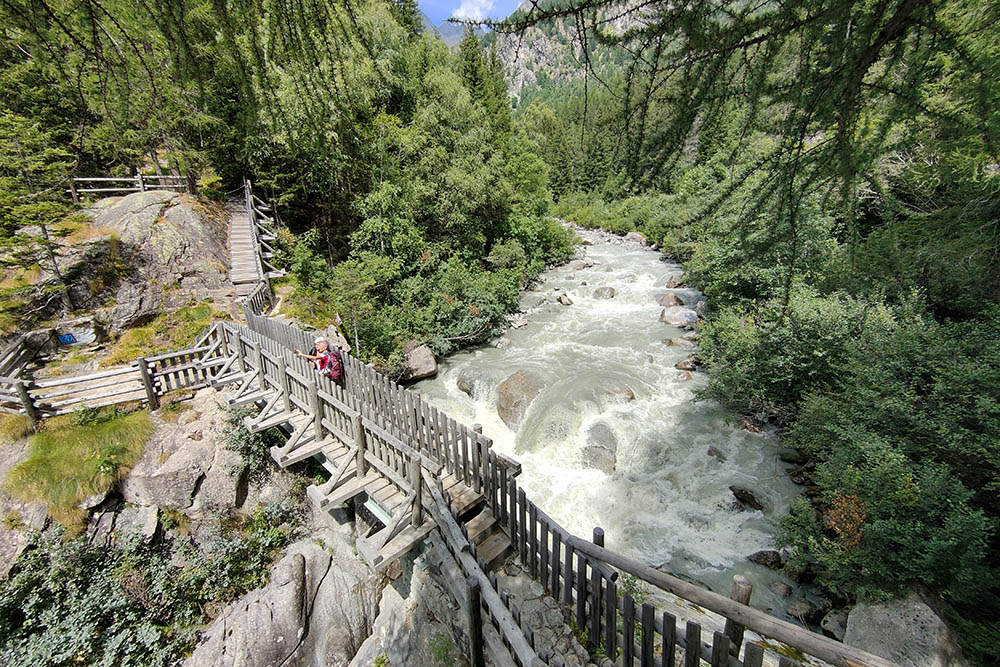
Ponte del Camp
Cascata di Casina Muta
Cascata di Folgorida
Cascata del Lares Inferiore
Cascata del Lares Superiore
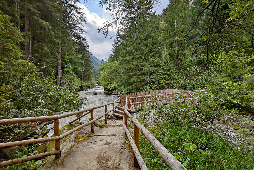
Bellissimi i ponti e le passerelle sul fiume Sarca
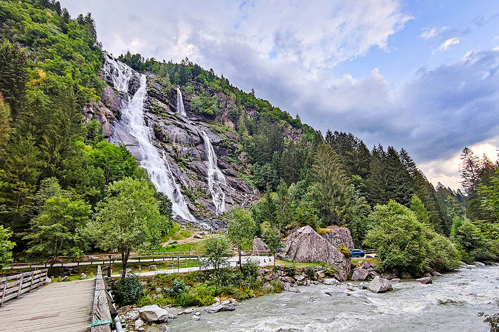
Cascata Nardis
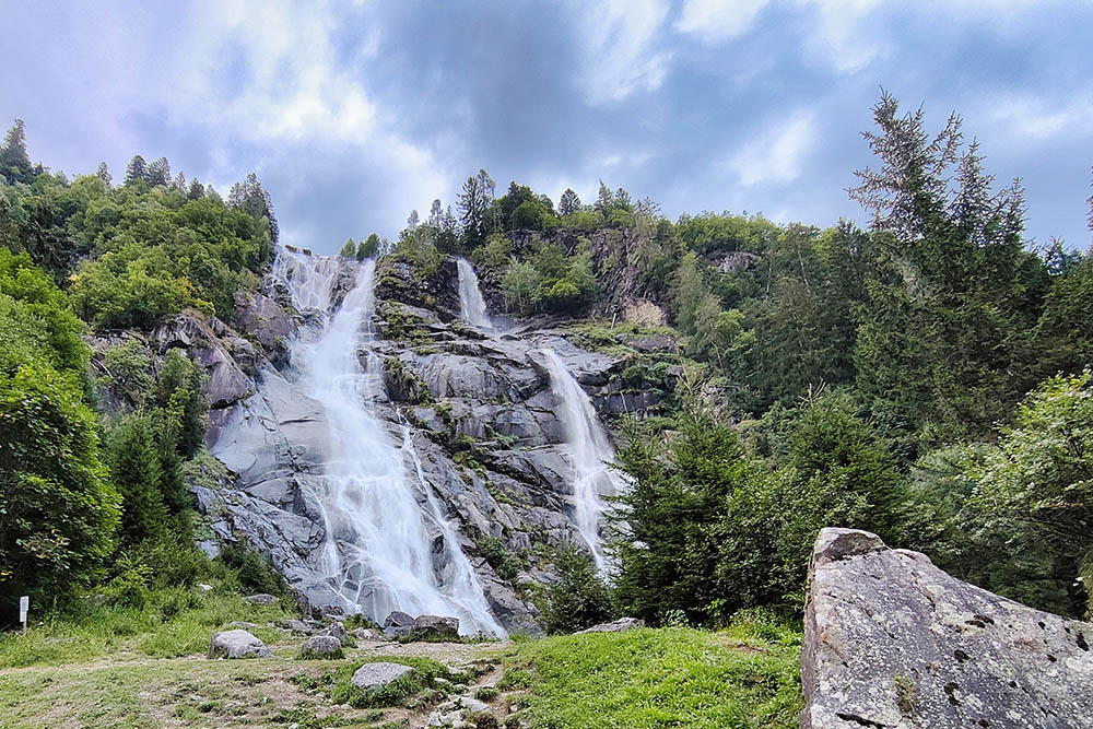
Cascata Nardis


