


![]()


Durata
 4:42 h
Distanza
 13,1 km
 Ascesa
 480 m
480 mDiscesa
 480 m
480 mH Max
 1980 m
H Min
 1547 m
Malga Bocche and Malga Canvere
DESCRIPTION
Ring excursion within the Paneveggio / Pale of San Martino Natural Park.
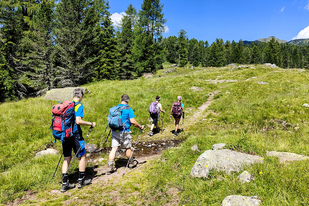
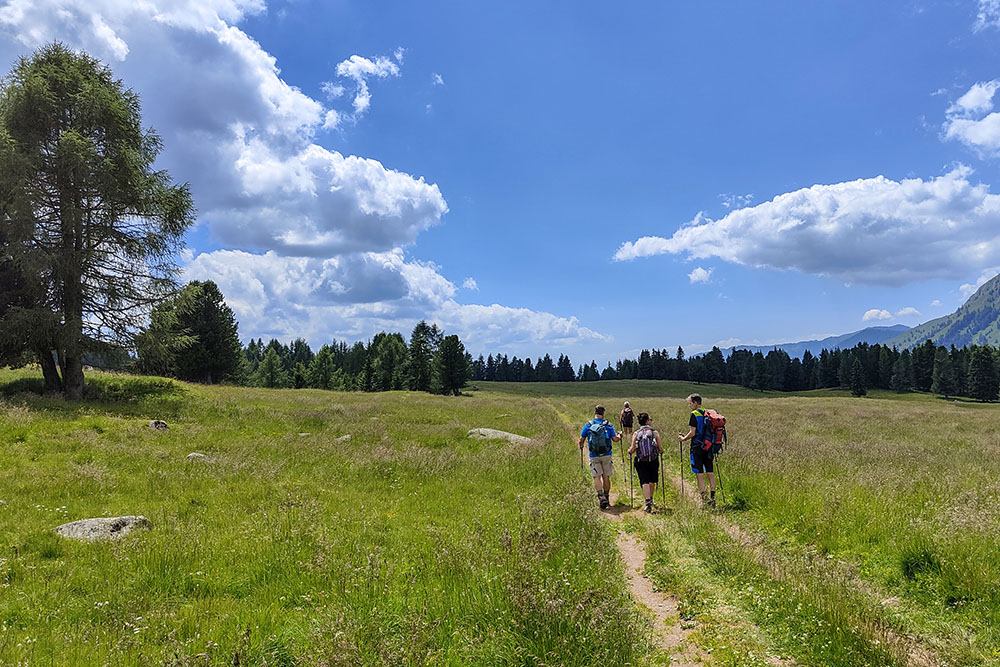
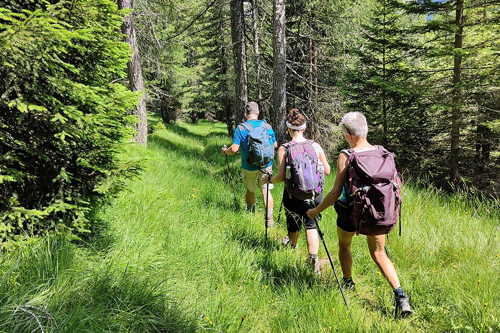
Simple excursion - departing from Paneveggio - within everyone's reach, obviously with a little training. It is the classic alpine excursion to the huts: you walk on easy dirt paths / roads immersed in the woods and with a beautiful view of the Pale di San Martino and the Lagorai Group.
ITINERARY
From the Paneveggio locality (1555 m) take path no. 626 and up to Malga Bocche (1946 m). From the hut, follow trail no. 623 direction Passo di Lusia. Arriving at Malga Canvere (1977 m), go down to the left and arrive at the Baito delle Carigole (1680 m). Now follow the indication Paneveggio and return to the starting point.
EXCURSION DATE
July 3, 2022
STARTING POINT
Paneveggio
REFRESHMENT POINT
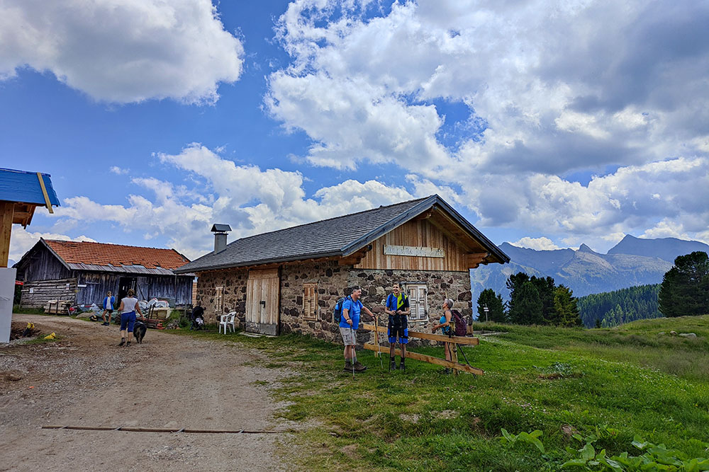
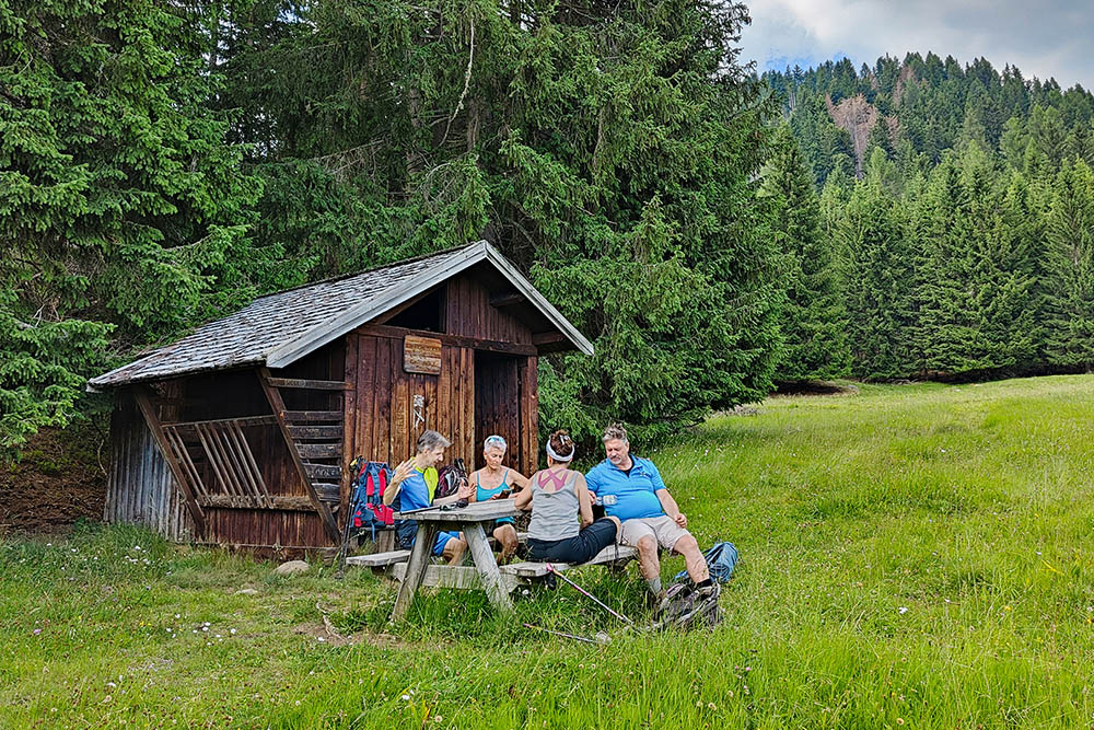
Malga Bocche (1946 m)
AUTHOR’S SUGGESTIONS
If you are interested in photographing the Pale di San Martino, you should go around clockwise.
SAFETY TIPS
The viability of the proposed itinerary, like all mountain morphology, is subject to environmental changes due to natural events and weather conditions. Therefore, before leaving, consult the competent tourist offices and / or the refuges of reference.
Our GPX tracks are only indicative, that is, the route was carried out at best with the conditions of the trails and weather of that day. So always consider what to do on site.
Also remember to evaluate the route based on your physical abilities, training and the equipment you have.
You should leave someone the route you intend to do told.
Remember that the emergency number is 112.
EQUIPMENT
It is recommended to have the appropriate equipment for the route, weather conditions and season: windproof and / or rain jacket, map and / or GPS device, goggles, sunscreen, boots, first aid kit, specific clothing, gloves, backpack with food and drink.
RECOMMENDED MAPS
Tabacco 022 PALE DI SAN MARTINO
INTERESTING LINKS
https://www.alpelusia.it/it/estate/malga-bocche
HOW TO ARRIVE
SS48 up to Predazzo, SS50 towards Passo Rolle - Passo Valles. You pass Lake Paneveggio, the church of the Assunta and on the left you can see the center of the Forest with a parking lot in front.
PARKING AREA
Paneveggio locality
GPS coordinates: 46.309724, 11.748360
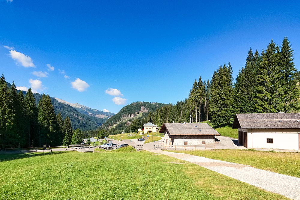
Partenza da Paneveggio
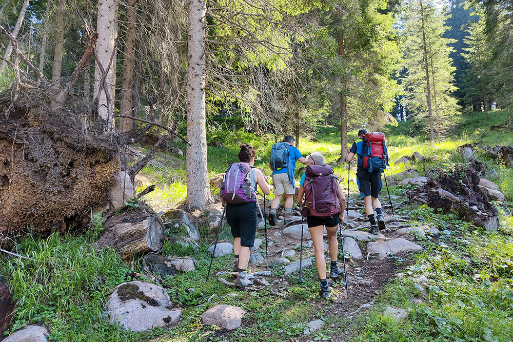
Si sale nel bosco
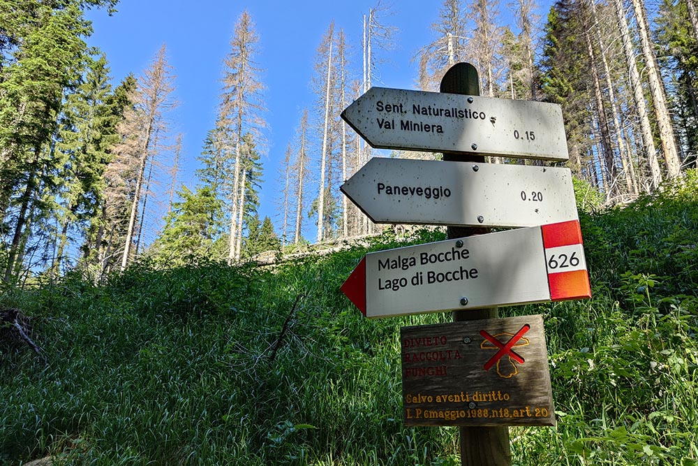
Segnavia
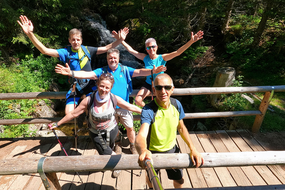
L'allegra compagnia
In prossimità della Malga Bocche
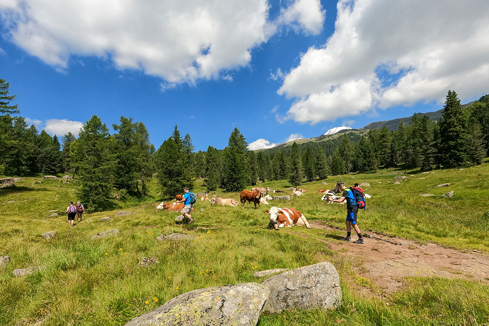
Manca poco
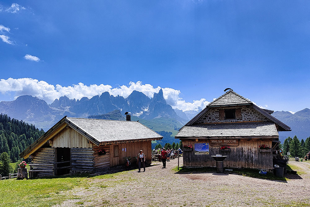
Malga Bocche

Malga Bocche
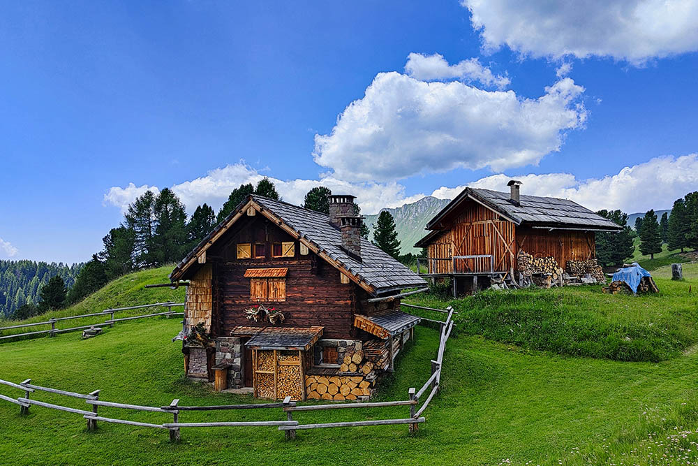
Splendide baite
Malga Canvera
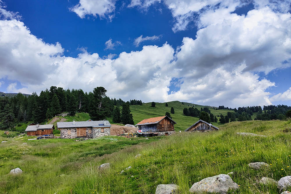
Malga Canvera
Si scende verso Paneveggio
Si ritorna nel bosco
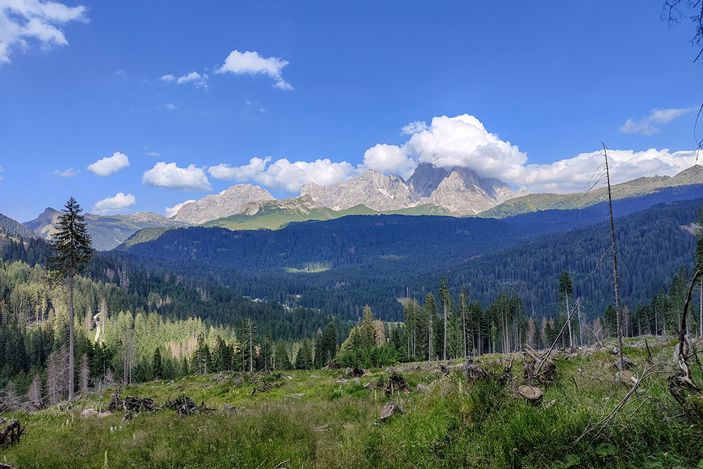
Le Pale di San Martino
Baito delle Carigole


