


![]()


Durata
 6:00 h
Distanza
 15,5 km
 Ascesa
 840 m
840 mDiscesa
 840 m
840 mH Max
 2519 m
H Min
 1755 m
Cima Seceda
DESCRIPTION
Very famous and popular excursion to Monte Seceda from where you can enjoy a beautiful view of the Odle Group.
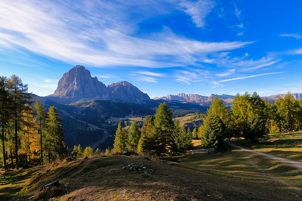
Seceda is a mountain located in Val Gardena at the foot of the Odle group. Its summit is easily reachable both by cable car - Furnes / Seceda - and on foot, starting from Ortisei or Santa Cristina Valgaredena. From its top you can admire countless peaks both in Alto Adige and in Trentino.
ITINERARY
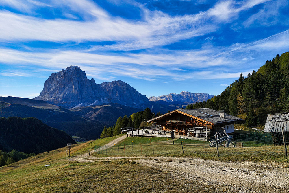
From the Pralan car park (1755 m), take path no. 4 and you arrive at the Gamsblut hut (1965 m). Here you take path 1A and passing through the Neidia hut (2030 m) you arrive at the Cuca hut (2044 m). Always continuing on n. 1A you arrive in order to the Fermeda hut (2117 m), the Fermeda chapel (2154 m), the Daniel hut (2231 m), the Mastlè hut (2284 m), the Sophie hut (2410 m) and finally the mountain station of the Furnes / Seceda cable car (2467 m). A few more minutes and you will arrive at Cima Seceda (2519 m). Now go down slightly and take path no. 6 which leads to the Forcella Pana (2445 m). From here, go down a bit and first take path no. 1 and then n. 2B to Baita Pieralongia (2290 m). Continue for a while on 2B and then go down to the right on 13B and then on 13 which leads to the Rifugio Firenze / Regensburger Hütte (2040 m). From the Rifugio Firenze you first take the 2 and then the 4 arriving at Odles Hütte (2100 m) and Col Raiser (2105 m). Continuing on path 4 you arrive at the starting point.
EXCURSION DATE
October 16, 2021
STARTING POINT
Cristauta - Praplan car park
REFRESHMENT POINT
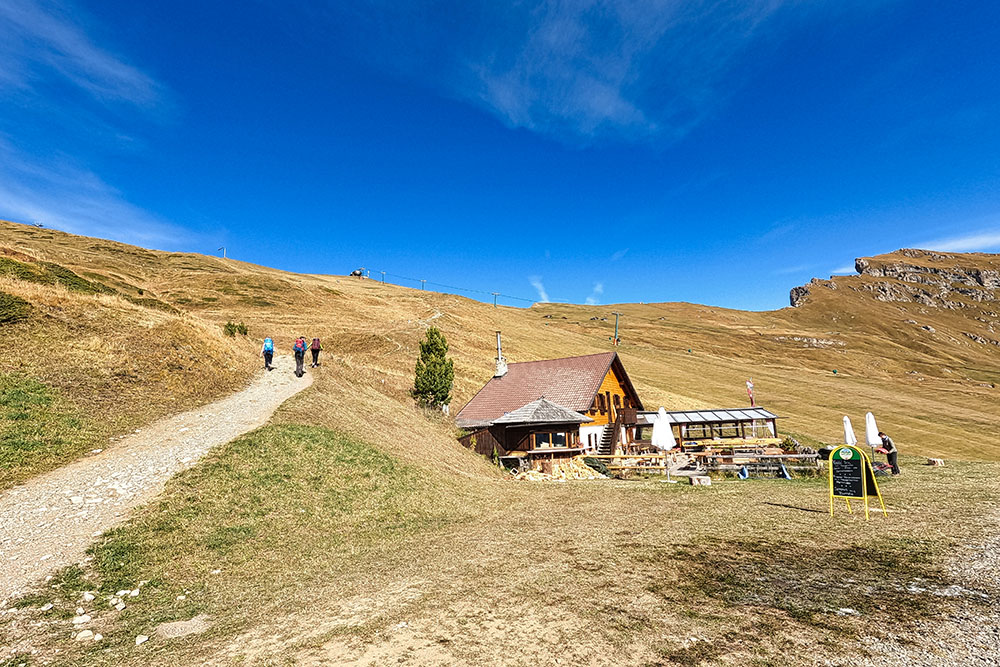
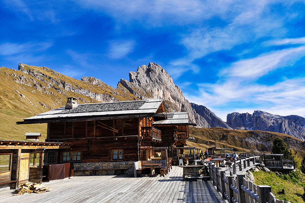
Gamsblut hut (1965 m), Cuca hut (2044 m), Fermeda hut (2117 m), Daniel hut (2231 m), Mastlè hut (2284 m), Sophie hut (2410 m), Pieralongia hut (2297 m), Rifugio Florence / Regensburger Hütte (2040 m) and Odles Hütte (2100 m).
AUTHOR’S SUGGESTIONS
Being a very popular destination, we recommend an excursion in the low season.
SAFETY TIPS
The viability of the proposed itinerary, like all mountain morphology, is subject to environmental changes due to natural events and weather conditions. Therefore, before leaving, consult the competent tourist offices and / or the refuges of reference.
Our GPX tracks are only indicative, that is, the route was carried out at best with the conditions of the trails and weather of that day. So always consider what to do on site.
Also remember to evaluate the route based on your physical abilities, training and the equipment you have.
You should leave someone the route you intend to do told.
Remember that the emergency number is 112.
EQUIPMENT
It is recommended to have the appropriate equipment for the route, weather conditions and season: windproof and / or rain jacket, map and / or GPS device, goggles, sunscreen, boots, first aid kit, specific clothing, gloves, backpack with food and drink.
RECOMMENDED MAPS
Tabacco 05 VAL GARDENA - ALPE DI SIUSI / GRÖDEN - SEISERALM
INTERESTING LINKS
https://www.seceda.it/
HOW TO ARRIVE
SS242 of Val Gardena at Selva Gardena, take the Str. Plesdinaz on the left and go up to the Cristauta - Praplan car park.
PARKING AREA
At Cristauta - Praplan
GPS coordinates: 46.566443, 11.725042
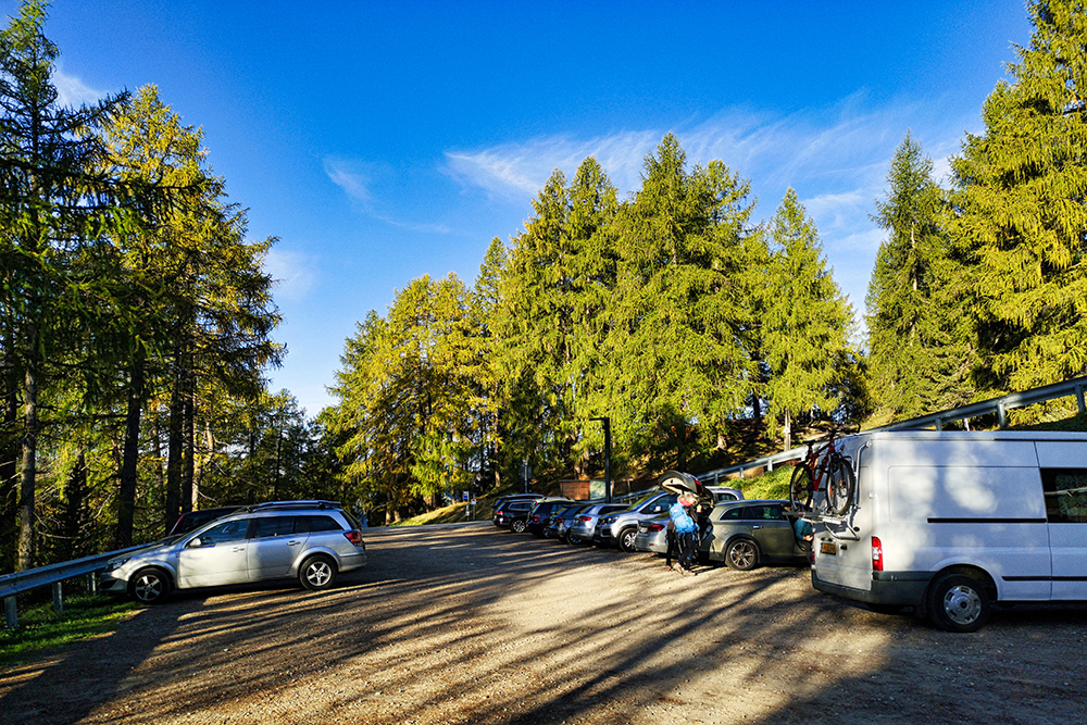
Parcheggio
Si inizia a vedere un bel panorama
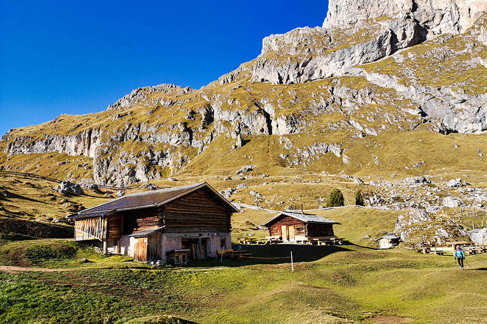
Baita Gamsblut
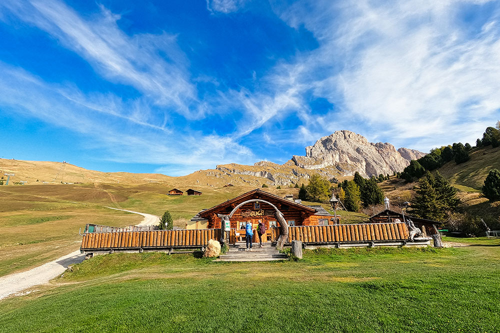
Baita Cuca
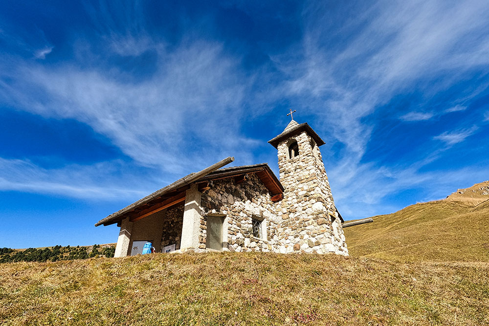
Cappella Fermeda
Baita Mastlè
Baita Daniel
Baita Sophie
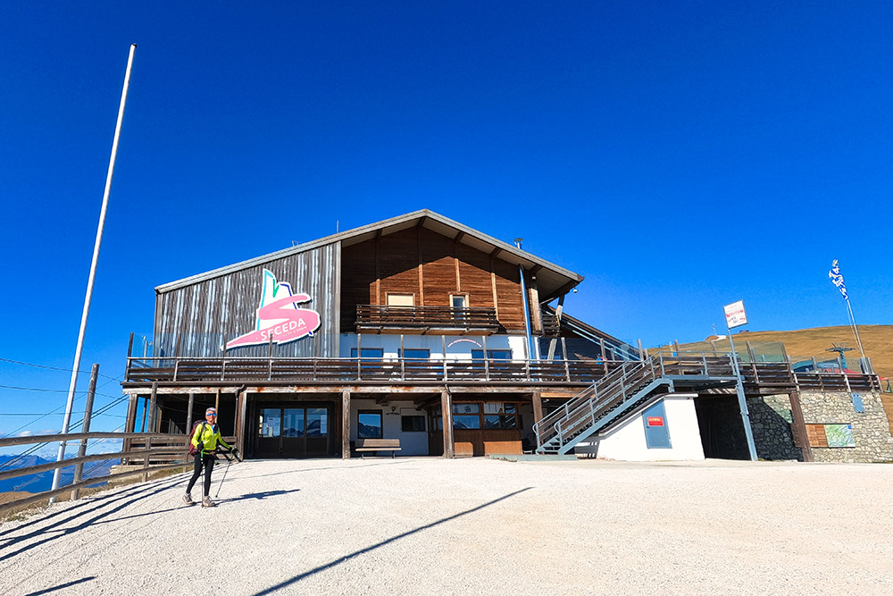
Stazione a monte della funivia Seceda
Il bellissimo panorama da Cima Seceda
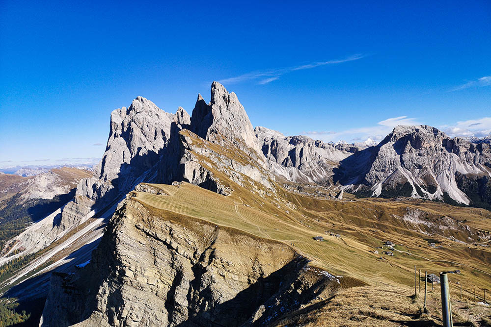
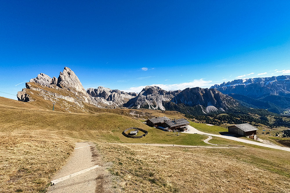
Il Gruppo delle Odle
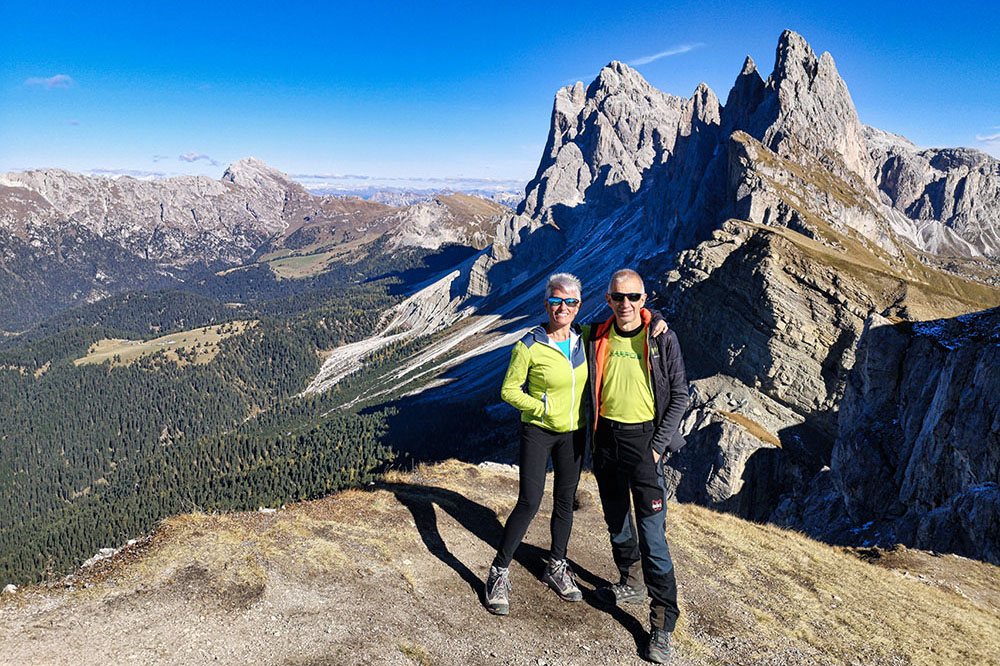
Cima Seceda
Baita Pieralongia
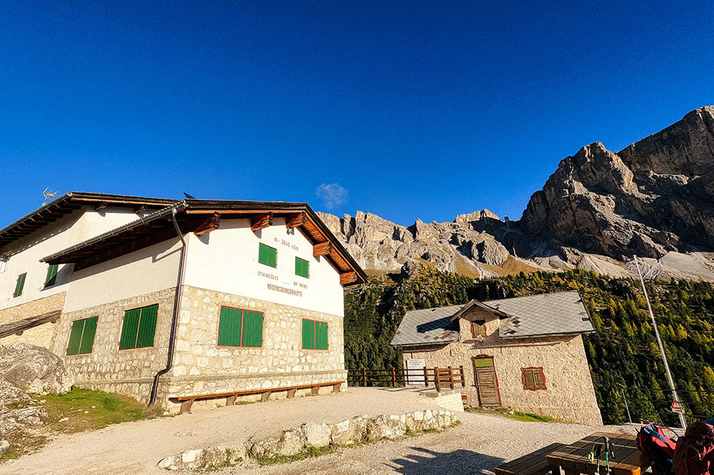
Rifugio Firenze
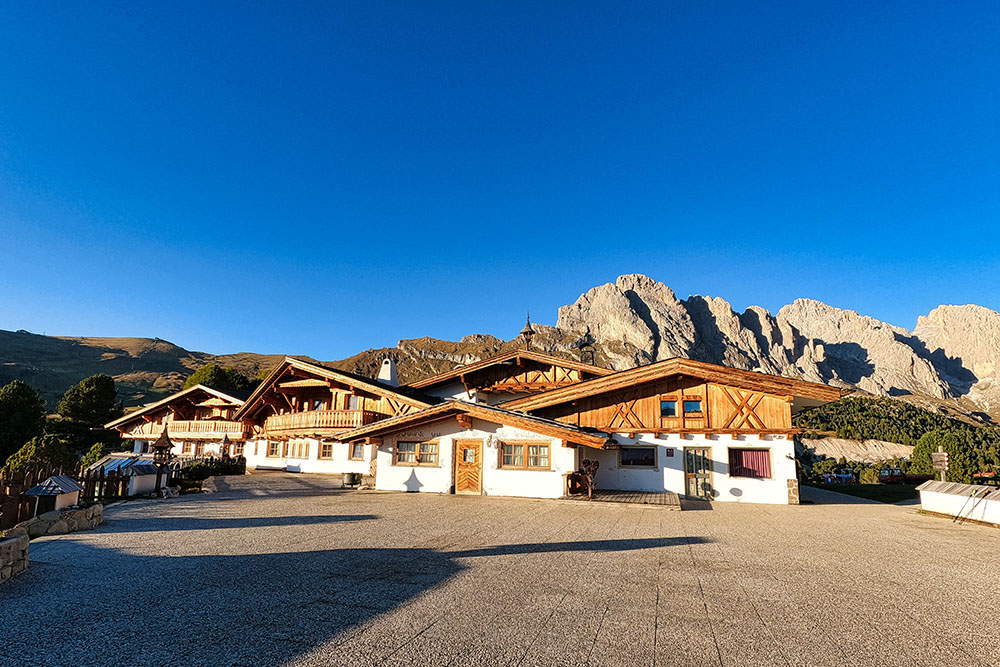
Col Raiser


