


![]()


Durata
 6:00 h
Distanza
 11,7 km
 Ascesa
 1300 m
Discesa
 1300 m
H Max
 2254 m
H Min
 978 m
978 mExcursion to Monte Cadria - Valle di Ledro
DESCRIPTION
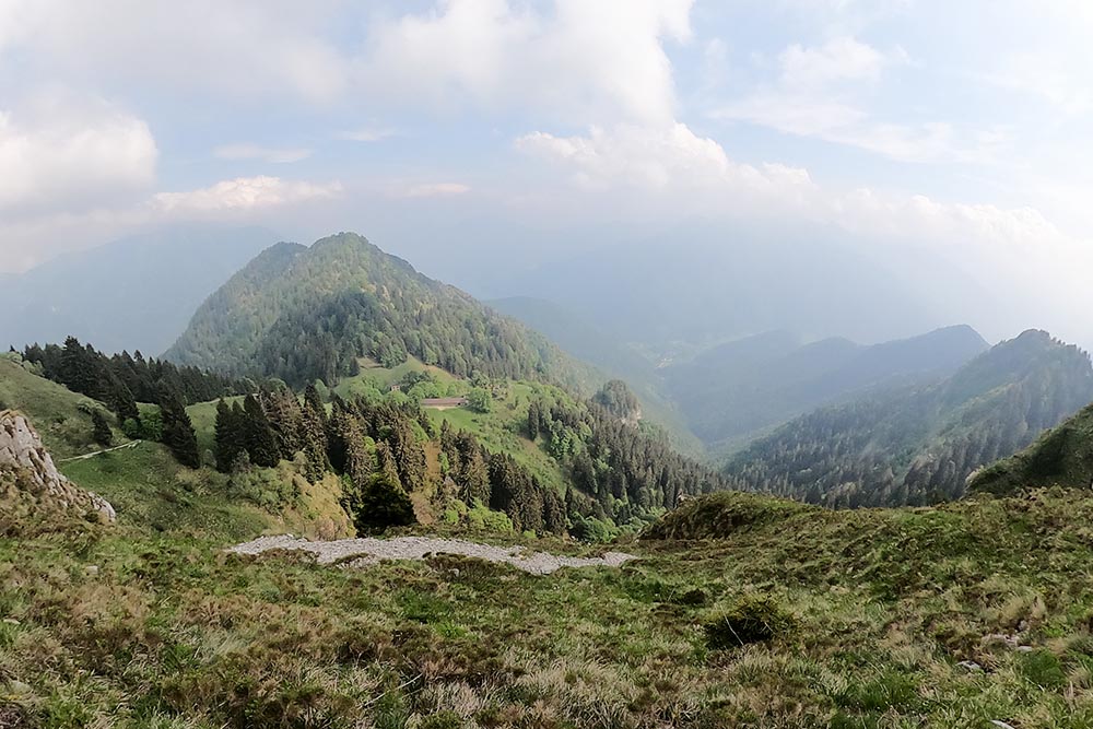
Monte Cadria is the highest mountain in the Valle di Ledro and is full of beautiful landscapes and traces of the Great War.
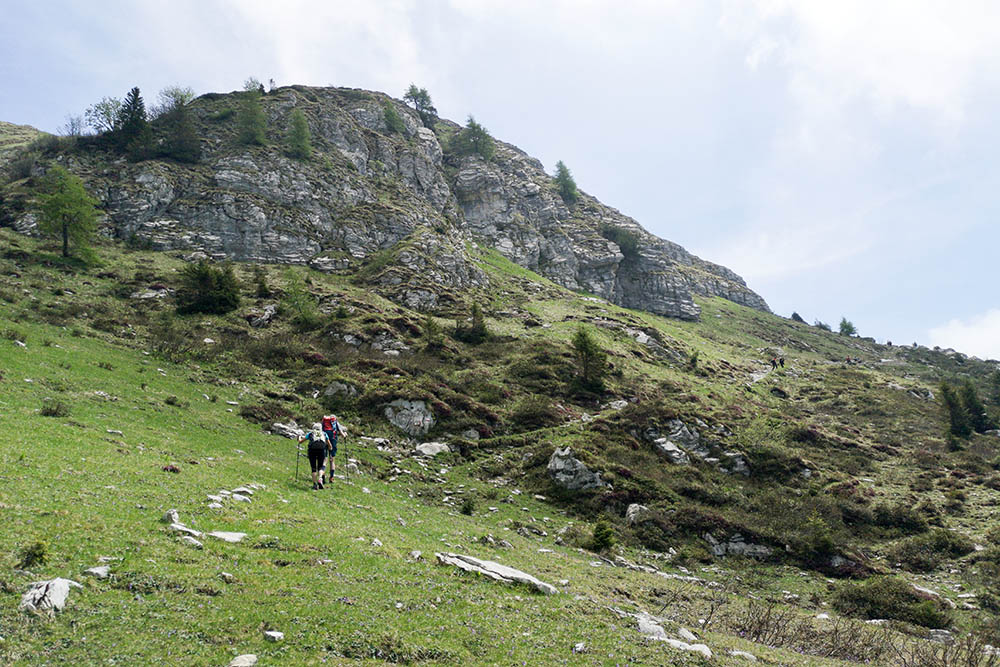
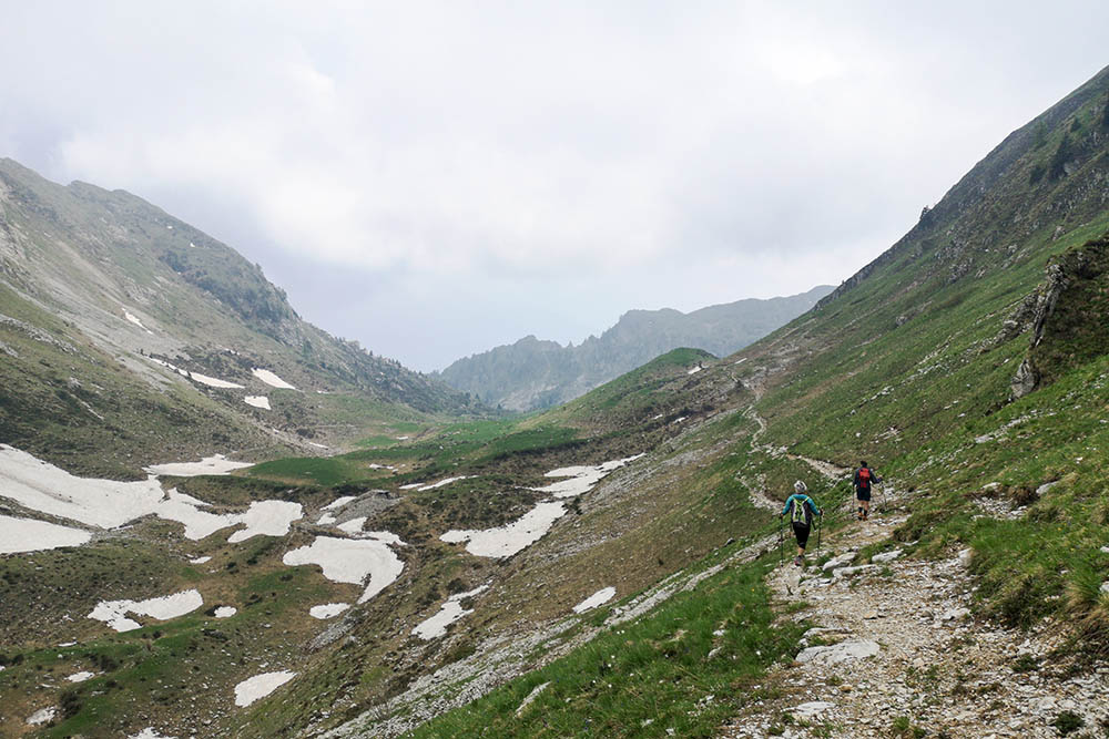
The route that we propose is demanding both for the steepness of the paths and for the strong exposure in the stretch on the ridge to get to the summit of Monte Cadria. Our effort, however, will be rewarded by a beautiful panorama that ranges from Adamello-Brenta to Lake Ledro. Along the path that from Malga Cadria participated in the remains of fortifications of the Great War.
ITINERARY
From the Ex Centrale (978 m) it is on sale for the mule track 423, you pass Malga Vies (1556 m) and continue until you get to Malga Cadria (1914 m). Here you turn right, always on 423, go along the ridge and arrive at the wooden cross of Monte Cadria (2254 m). Now we start and return to the Malga Cadria and then return to the parking lot on the same road.
STARTING POINT
Parking in the Ex-Centrale area
REFRESHMENT POINT
Nobody
AUTHOR’S SUGGESTIONS
From Malga Cadria he makes the tour counterclockwise.
SAFETY TIPS
Those who are afraid of emptiness are not advised to reach the summit along the ridge.
The viability of the proposed itinerary, like all mountain morphology, is subject to environmental changes due to natural events and weather conditions. Therefore, before leaving, consult the competent tourist offices and / or the refuges of reference.
Our GPX tracks are only indicative, that is, the route was carried out at best with the conditions of the trails and weather of that day. So always consider what to do on site.
Also remember to evaluate the route based on your physical abilities, training and the equipment you have.
You should leave someone the route you intend to do told.
Remember that the emergency number is 112.
EQUIPMENT
It is recommended to have the appropriate equipment for the route, weather conditions and season: windproof and / or rain jacket, map and / or GPS device, goggles, sunscreen, boots, first aid kit, specific clothing, gloves, backpack with food and drink.
RECOMMENDED MAPS
Tabacco 071 PREALPI GARDESANE - TREMALZO - VALLE DI LEDRO - L. D’IDRO
INTERESTING LINKS
https://www.vallediledro.com/lang/IT/pagine/dettaglio/sport,79/escursioni,242.html
HOW TO ARRIVE
A22 Rovereto Sud - Lake Garda. Take the SP3 towards Riva del Garda then continue on the SS240 of the Val di Ledro until Bezzecca where you continue to the Val Concei. After passing the center of the village of Lenzumo, continue on Via Bianchi for 1.2 km and then turn left and sell until you reach the Ex-Centrale area.
PARKING AREA
Parking in the Ex-Centrale area
GPS coordinates: 45.926039, 10.717191
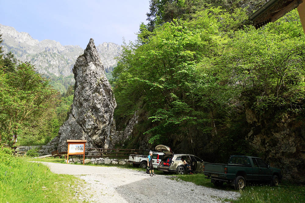
Parcheggio Ex Centrale
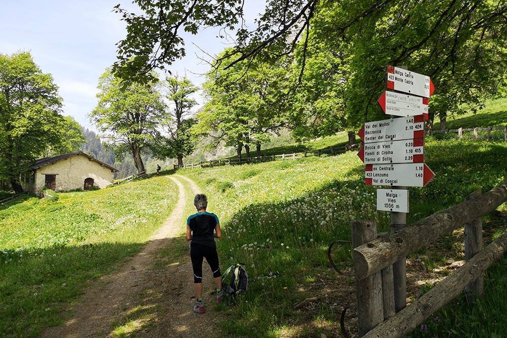
Arrivati alla Malga Vies
Lasciamo la Malga Vies
Si sale velocemente
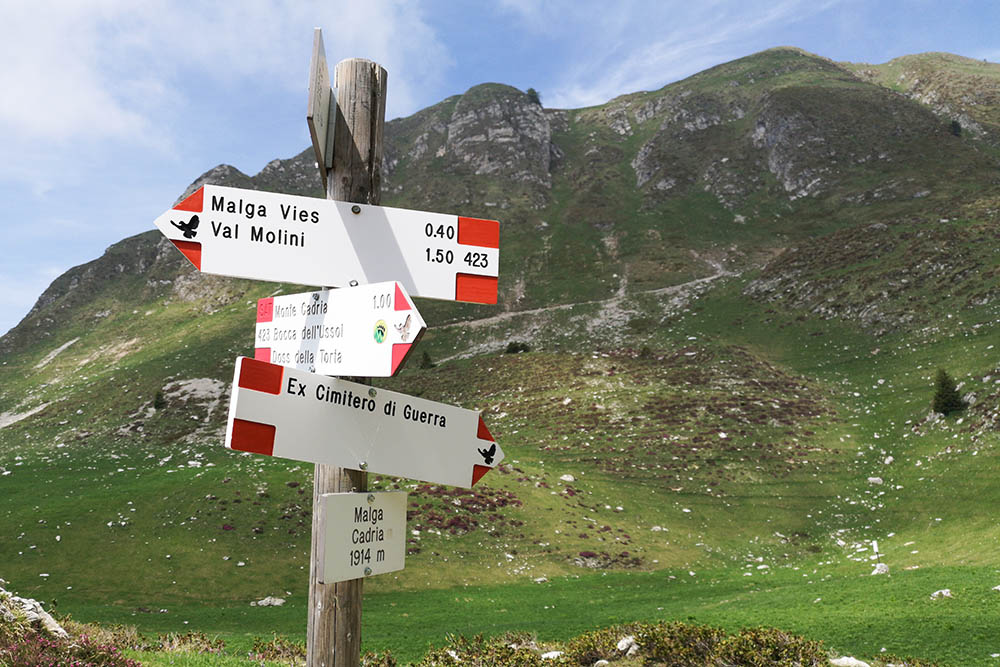
Arrivati al bivio di Malga Cadria. Si continua a destra alla volta della vetta.
Si sale verso la cresta
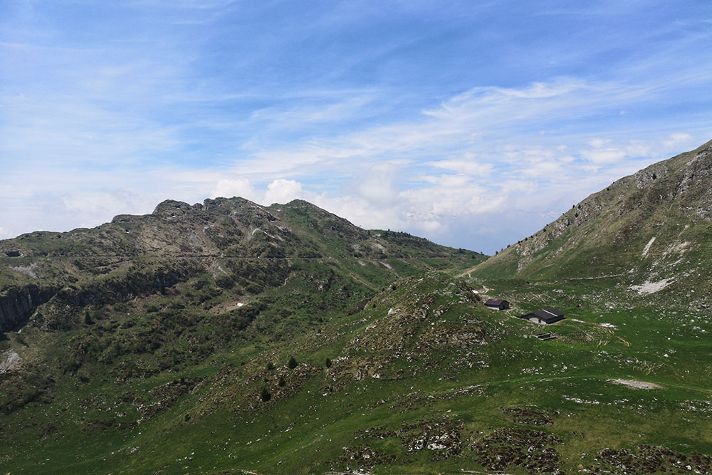
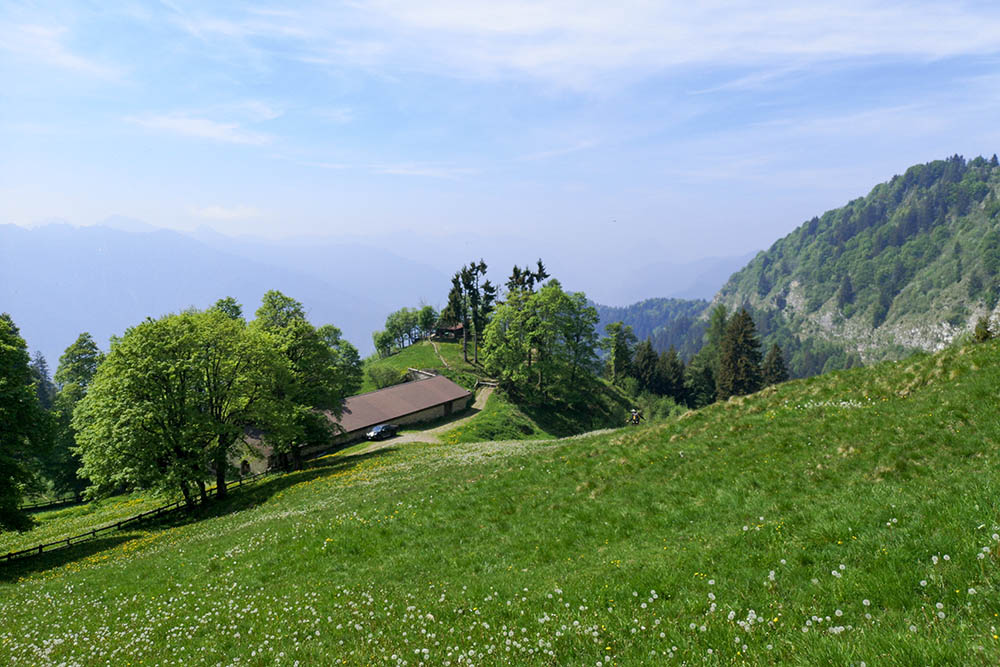
La Malga Cadria vista dall'alto
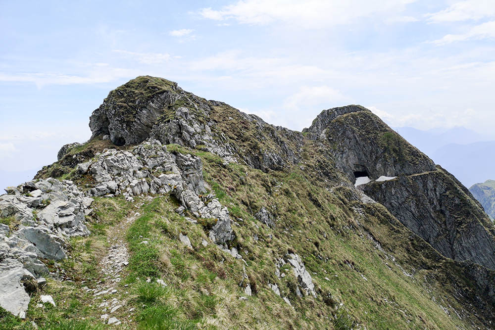
Il sentiero in cresta con i resti delle fortificazioni della Grande guerra
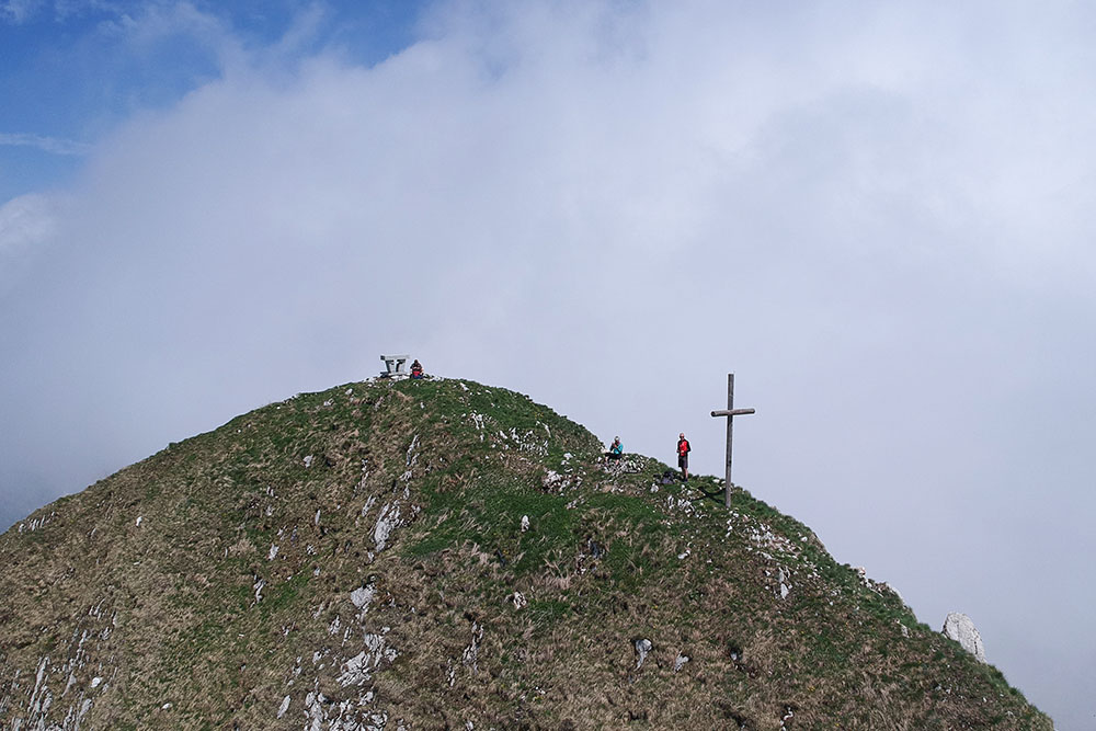
Il Monte Cadria
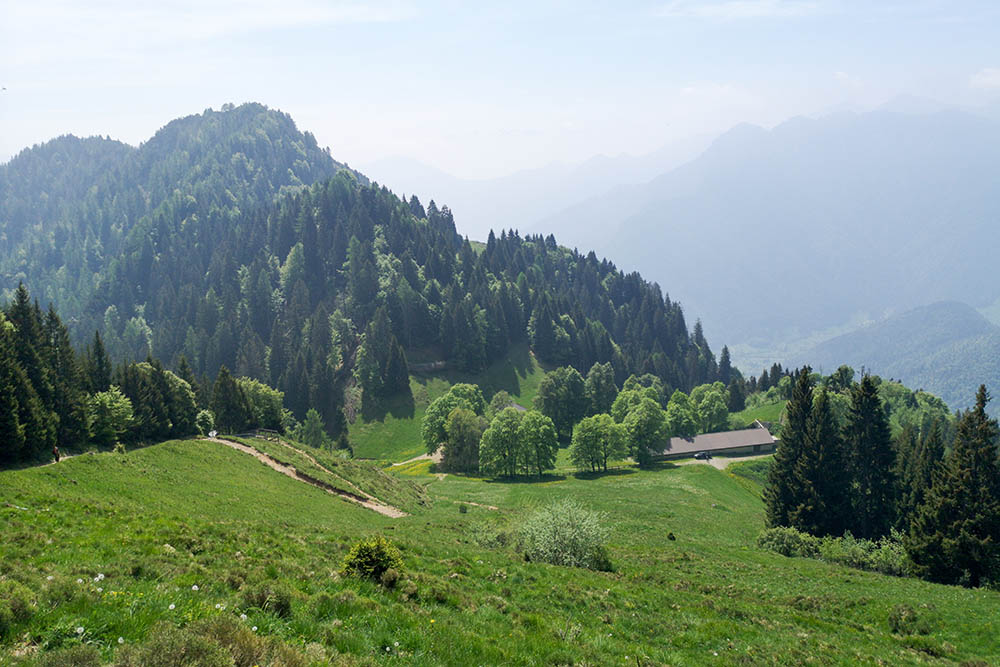
Si rientra alla Malga Cadria
Si ritorna verso il parcheggio


