Durata
 6:15 h
Distanza
 14,9 km
Ascesa
 1122 m
Discesa
 1122 m
H Max
 2125 m
H Min
 1033 m
From Passo Santèl to Cima Paganella
DESCRIPTION
On the Roda, where your gaze reaches as far as Lake Garda.
Geographical location
The Paganella is a mountain group in the province of Trento. Its highest peak is the Roda, 2125 metres. It overlooks Trento from the north-west and lies within the municipalities of Fai della Paganella, Andalo, Molveno, Zambana and Terlago. It is surrounded by the Adige Valley, the Valley of the Lakes, the Giudicarie and Lake Molveno.
Hike
From Santèl you climb to the summit of the Paganella on a long walk that leads to one of the great panoramic viewpoints of Trentino. From up there your gaze sweeps across all the main massifs of the north-east. The Brenta Dolomites are visible in their entirety and, further away, Lake Garda. On clear days the 360° view reaches the Pale di San Martino, the Latemar, the Catinaccio, the Sella and the Val di Non.
The ascent exceeds 1100 metres of elevation gain and requires effort. It presents no technical difficulties, however. We recommend it to those who already have a good level of fitness. Those who prefer to save their legs can rely on the lift facilities. The summit can also be reached by gondola and chairlift departing from Andalo.
History and curiosities
Rifugio La Roda was built in 1965 by Mr Longhi and his wife Paola. In 1989 a fire destroyed it. In 1998 it passed to the current owners. In 2006 modernisation work began: today it is a high-altitude chalet, built according to bioarchitecture criteria and heated with geothermal energy.
ITINERARY
From Passo Santèl (1034 m) follow trail F10, formerly 602, all the way to the summit of the Paganella. The first stage, of about 1 hour and 15 minutes, leads to Rifugio Meriz (1420 m). From here you walk for another hour to Malga Fai (1670 m). Half an hour later you reach Rifugio Dosso Larici (1844 m); a final hour and a half leads to Cima Paganella, at Rifugio La Roda (2125 m).
You then descend to Malga Zambana (1789 m) via trail F11, formerly 604. You then return towards Dosso Larici and come back by the same route as the outward journey.
EXCURSION DATE
30 May 2025
STARTING POINT
Passo Santèl
REFRESHMENT POINT
Rifugio Meriz, Rifugio Dosso Larici, Rifugio La Roda and Rifugio Malga Zambana
AUTHOR'S SUGGESTIONS
Recommended period: from late spring to early autumn, with no snow at altitude.
SAFETY ADVICE
The practicability of the proposed itinerary, like all mountain terrain, is subject to environmental changes due to natural events and weather conditions. Therefore, before setting off, consult the relevant tourist offices and/or the mountain huts of reference.
Our GPX tracks are indicative only, meaning that the route was followed as best as possible under the trail and weather conditions of that day. Therefore always assess what to do on site.
Also remember to assess the route based on your physical abilities, fitness and the equipment you have.
It is advisable to leave word with someone about the itinerary you intend to follow.
Remember that the emergency number is 112.
EQUIPMENT
It is recommended to have equipment suitable for the route, the weather conditions and the season: windproof and/or rainproof jacket, map and/or GPS device, sunglasses, sunscreen, hiking boots, first aid kit, specific clothing, gloves, backpack with food and drinks.
RECOMMENDED MAPS
Tabacco 067 Altopiano della Paganella - Val d'Adige - Trento
USEFUL LINKS
https://laroda.it/il-rifugio/
HOW TO ARRIVE
A22 San Michele All'Adige exit. Follow the SS43 towards Altopiano della Paganella and after passing through the town of Mezzolombardo, turn left uphill following the sign for Fai della Paganella SP64. Go past Fai della Paganella and you arrive at Passo Santèl.
PARKING AREA
At Passo Santèl
GPS coordinates: 46.176163, 11.052805
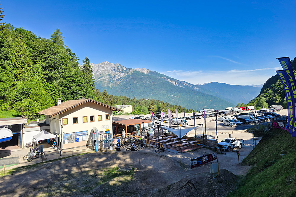
Parcheggio a Passo Santèl
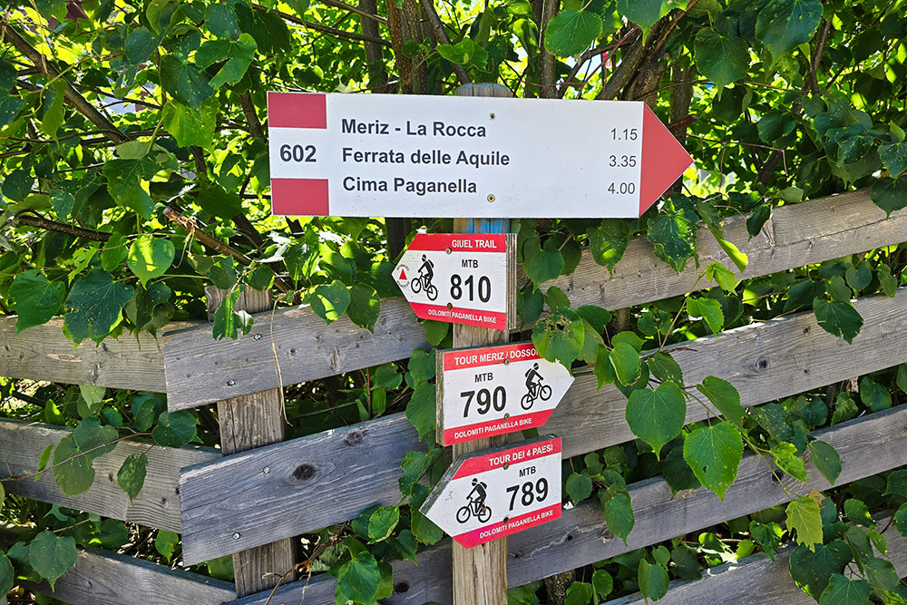
Partenza dell'escursione
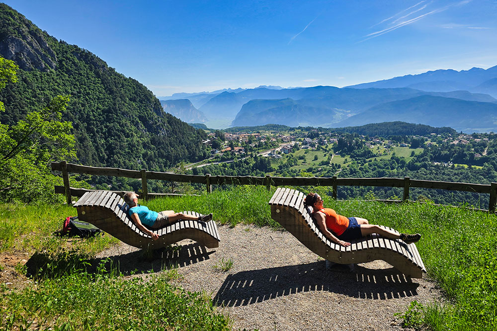
Punto relax e panoramico
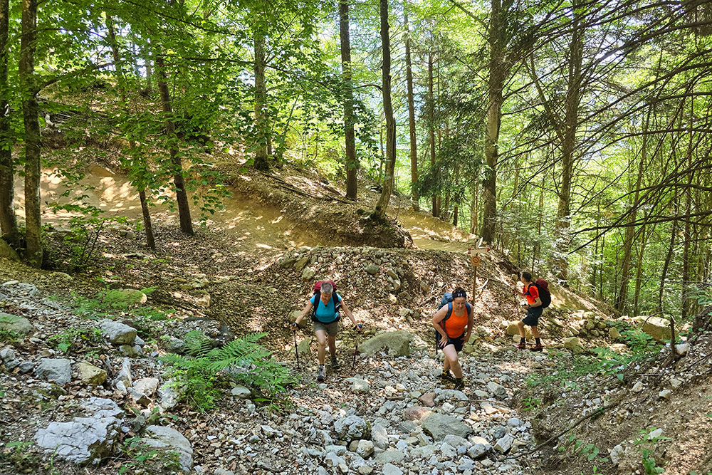
Si sale vicino alle piste di MTB
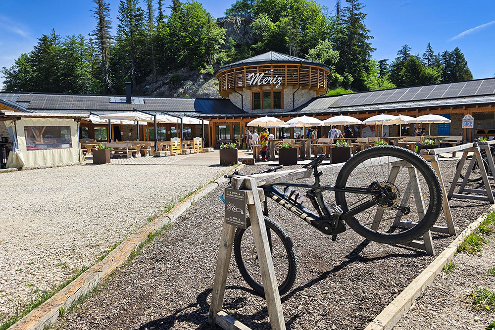
Il Rifugio Meriz
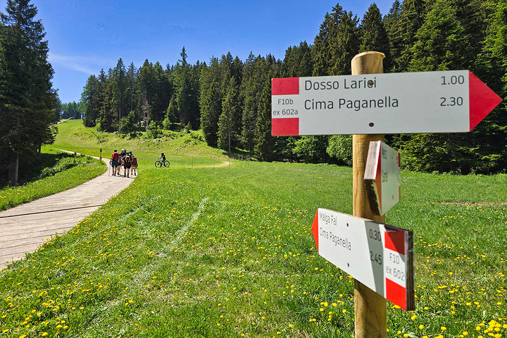
Si continua verso la Malga Fai
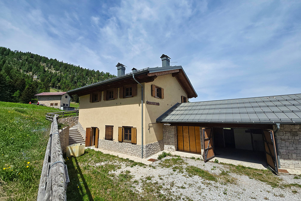
La Malga Fai
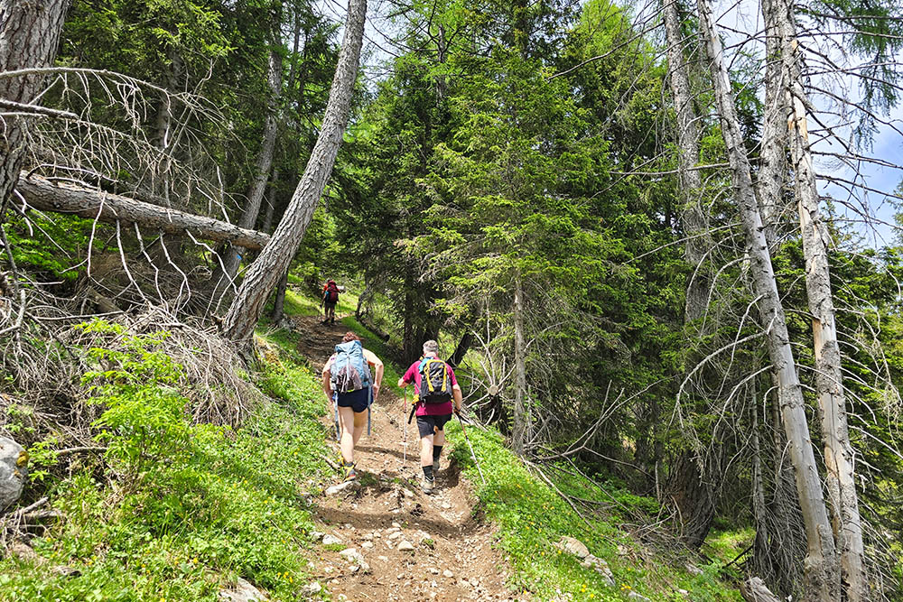
Si entra nel bosco
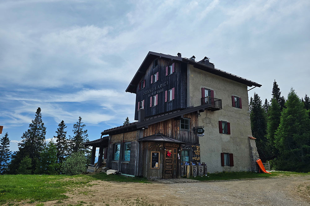
Il Rifugio Dosso dei Larici
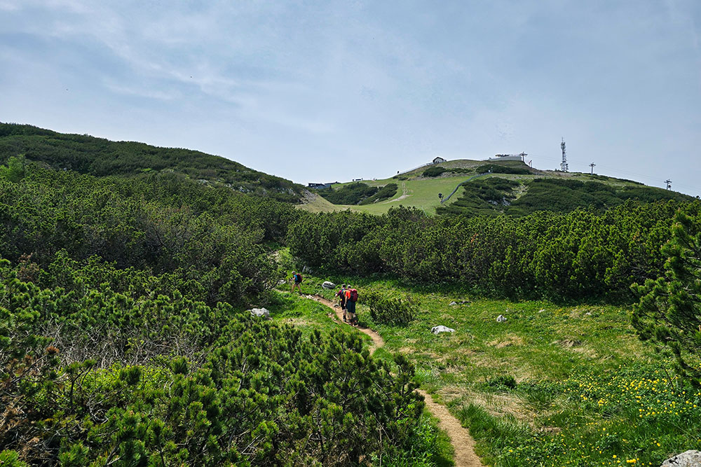
Manca poco alla vetta
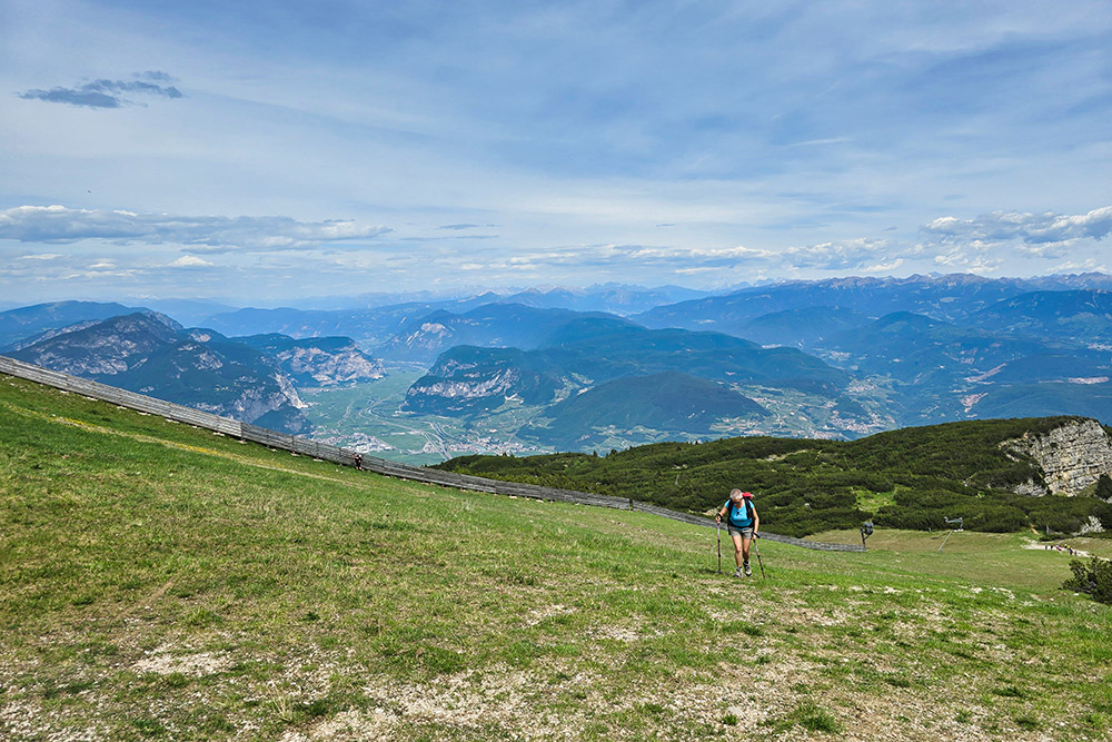
Ultima salita
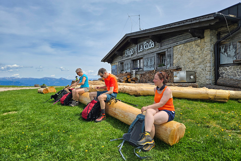
Arrivati al Rifugio La Roda in vetta alla Paganella
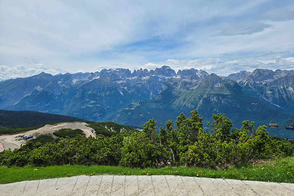
Vista verso il Gruppo del Brenta
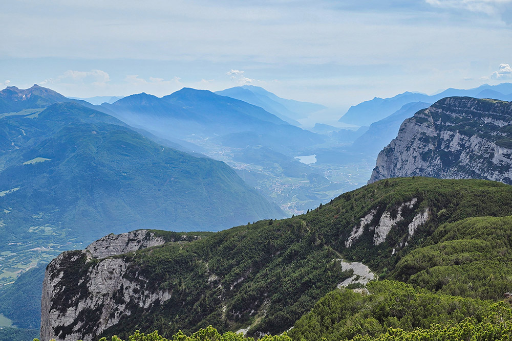
Vista verso il Lago di Garda
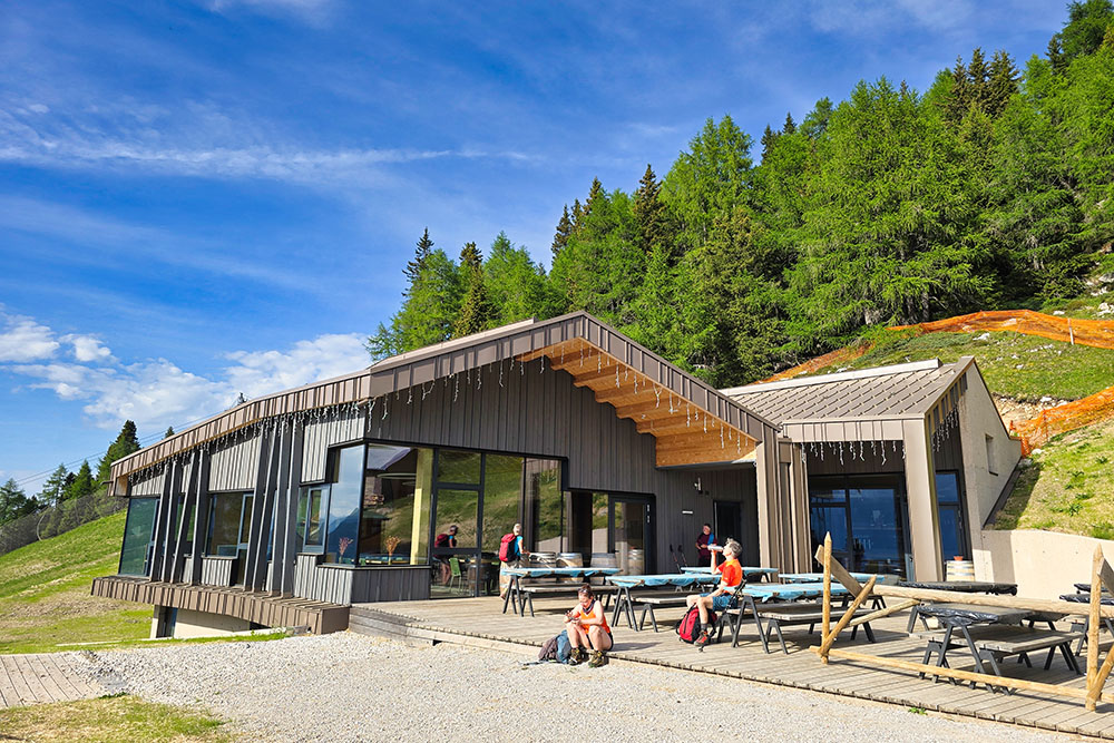
Il Rifugio Malga Zambana