Durata
 8:05 h
Distanza
 20 km
Ascesa
 1660 m
Discesa
 1660 m
H Max
 2647 m
H Min
 1415 m
Alta Via Bruno Federspiel – MIXED
DESCRIPTION
Among the trenches of the Monzoni, by bike and on foot.
Geographical location
The Monzoni (Munciogn in Ladin) form a subgroup of the Marmolada Group, in the Trentino Dolomites. They are bounded by Val di Fassa to the west, Valle di San Pellegrino to the south, the Auta chain to the east and Val San Nicolò to the north. Here runs the Alta Via Bruno Federspiel, a ridge itinerary connecting Forcella La Costella to Passo delle Selle.
Hike
The itinerary is airy and leads high up, onto the peaks of the Monzoni ridge, from Forcella La Costella to Passo delle Selle. It allows you to enter the particular environment of high-mountain warfare on this side of Val di Fassa.
The Alta Via Bruno Federspiel is demanding, due to the overall elevation gain and the distance. It develops in a harsh and exposed environment, with many ups and downs. There are few equipped sections, almost all concentrated between Spiz de Tariciogn, also known as Cima Rizzoni, and Punta Allochet. The equipped stretches do not present particular technical difficulties, but we still recommend a via ferrata kit, especially for those with little experience or who suffer from exposure. Many passages along the ridge, however, are not equipped: they must be tackled with caution and require a certain amount of experience. For this reason the Federspiel resembles more an alpine path than a via ferrata. It is the ideal prelude to the Bepi Zac. Unlike the latter, however, it is much less frequented: the loop is strenuous and less well known.
We used bikes on the first section and significantly shortened the walk. Alternatively, you can stay overnight at Rifugio Vallaccia and split the route into two days, or use the shuttle that connects the car parks at “Vidor” to Malga Monzoni.
History and curiosities
The entire ridge is crossed by the equipped alpine path dedicated to the Moena climber Bruno Federspiel.
On these peaks were deployed the Austrian units of the Alpenkorps. Near Passo delle Selle there remain clear signs of their presence: remains of barracks, caves and artillery positions. The clashes between the two armies on the ridge began in mid-June 1915.
Rifugio Monzoni Torquato Taramelli was inaugurated on 9 August 1904. During the First World War it hosted an Austrian army command, because the Italian-Austrian front passed through the nearby Passo delle Selle. Since 1961 it has been managed by SUSAT, the university section of SAT. It was renovated between 1994 and 1996. The mountain hut is dedicated to the distinguished geologist Torquato Taramelli.
Itinerary
By bike from the car park at Vidor in Pozza di Fassa (1415 m), follow the asphalt road, pass Malga Crocifisso and climb up to Malga Monzoni (1862 m). Here you leave the bike and continue on foot along trail marker 624 to Rifugio Vallaccia (2275 m), then to Forcella La Costella (2510 m).
From here begins the Alta Via Bruno Federspiel, trail marker 616. It passes Cima Malinverno (2630 m), Forcella Ricoletta (2240 m), Spiz de Tariciogn or Cima Rizzoni (2647 m), Punta Allochet (2582 m) and Punta delle Selle (2593 m), and leads to Passo delle Selle (2528 m) and the mountain hut of the same name. Here the Alta Via ends.
Descend through Val delle Selle along trail marker 604, passing Lago delle Selle (2230 m), to Rifugio Monzoni Torquato Taramelli (2046 m). From the mountain hut you reach Malga Monzoni (1862 m) and return by bike along the same road as on the way out.
On foot: 12 km, 7h30, 1215 m elevation gain
By bike: 8 km, 0h35, 445 m elevation gain
EXCURSION DATE
27 September 2026
STARTING POINT
Pozza di Fassa, locality Vidor
REFRESHMENT POINT
Rifugio Vallaccia, Rifugio Passo delle Selle and Rifugio Taramelli
AUTHOR’S SUGGESTIONS
Especially for those who are not experienced hikers, wear via ferrata equipment.
SAFETY ADVICE
The practicability of the proposed itinerary, like all mountain morphology, is subject to environmental changes due to natural events and weather conditions. Therefore, before setting off, consult the competent tourist offices and/or the reference mountain huts.
Our GPX tracks are indicative only, meaning the route was followed as best as possible under the trail and weather conditions of that day. Therefore always assess on site what to do.
Also remember to evaluate the route based on your physical abilities, training and the equipment you have.
It is advisable to leave word with someone about the itinerary you intend to follow.
Remember that the emergency number is 112.
EQUIPMENT
It is recommended to have equipment suitable for the route, the weather conditions and the season: windproof and/or rainproof jacket, map and/or GPS device, sunglasses, sunscreen, hiking boots, first aid kit, specific clothing, gloves, backpack with food and water.
RECOMMENDED MAPS
Tabacco 06 Val di Fassa e Dolomiti Fassane
USEFUL LINKS
https://www.fassa.com/it/servizi/navetta-val-monzoni
HOW TO ARRIVE
In Pozza di Fassa take the road to Valle San Nicolò, continue to the locality Vidor where you can park.
PARKING AREA
In Pozza di Fassa, locality Vidor
GPS coordinates: 46.419882, 11.707066
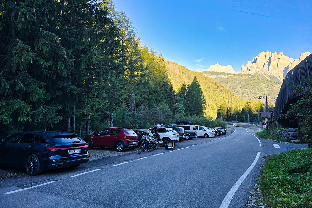
Parcheggio di Vidor
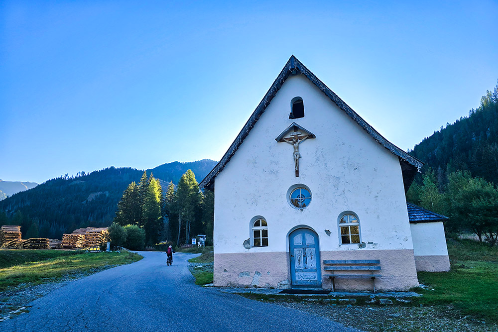
Cappella del Crocifisso
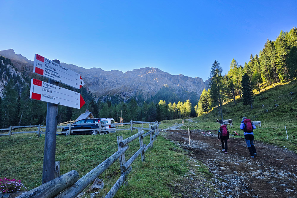
Si parte a piedi dalla Malga Monzoni
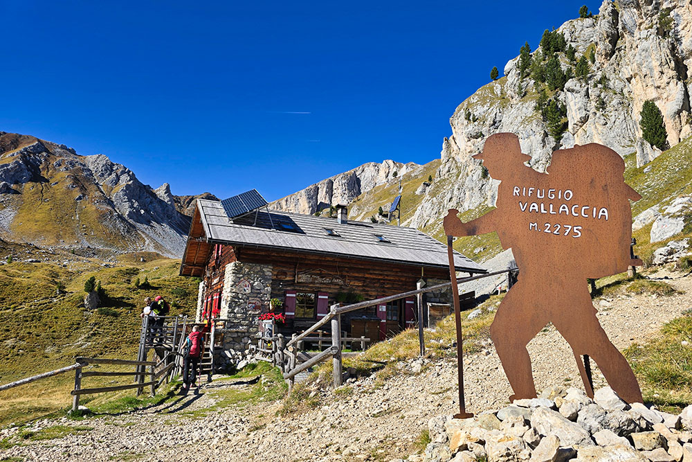
Il Rifugio Vallaccia
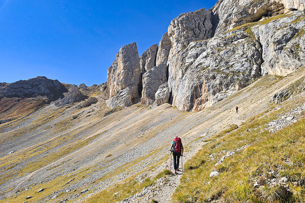
Si sale verso la forcella
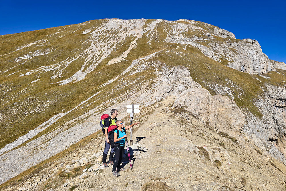
Forcella La Costella
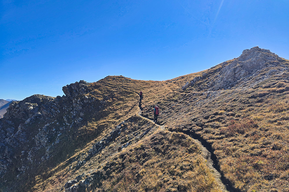
Inizia l'Alta Via Bruno Federspiel
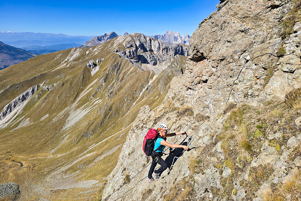
Primo tratto attrezzato
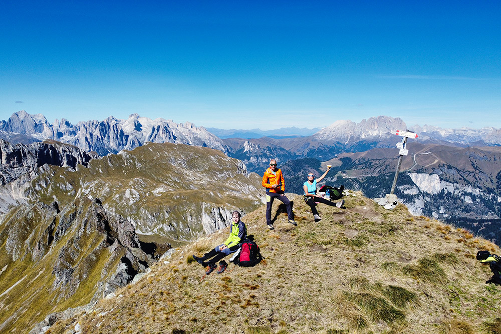
In vetta al Monte Malinverno
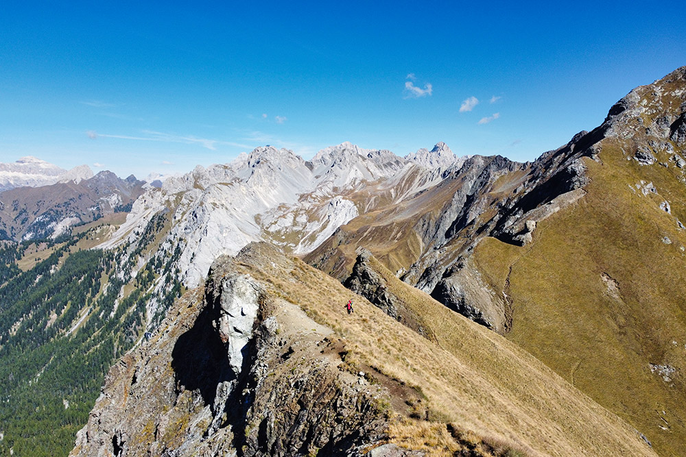
La stupenda cresta
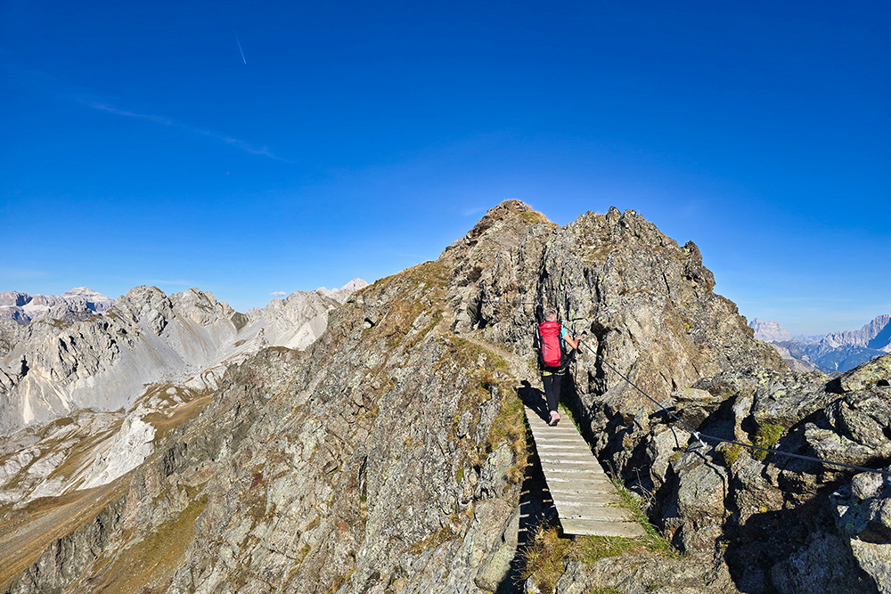
Il secondo tratto attrezzato
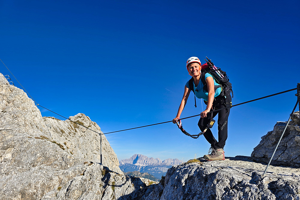
Il secondo tratto attrezzato
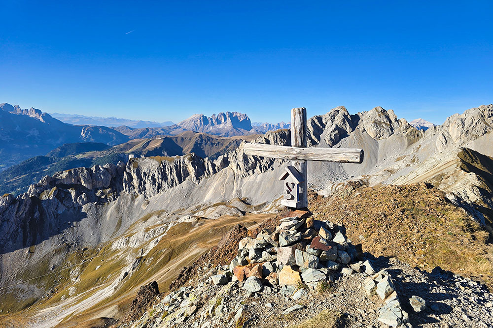
Punta delle Selle
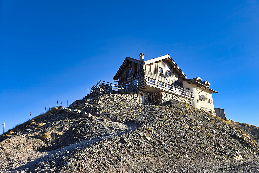
Il Rifugio Passo delle Selle
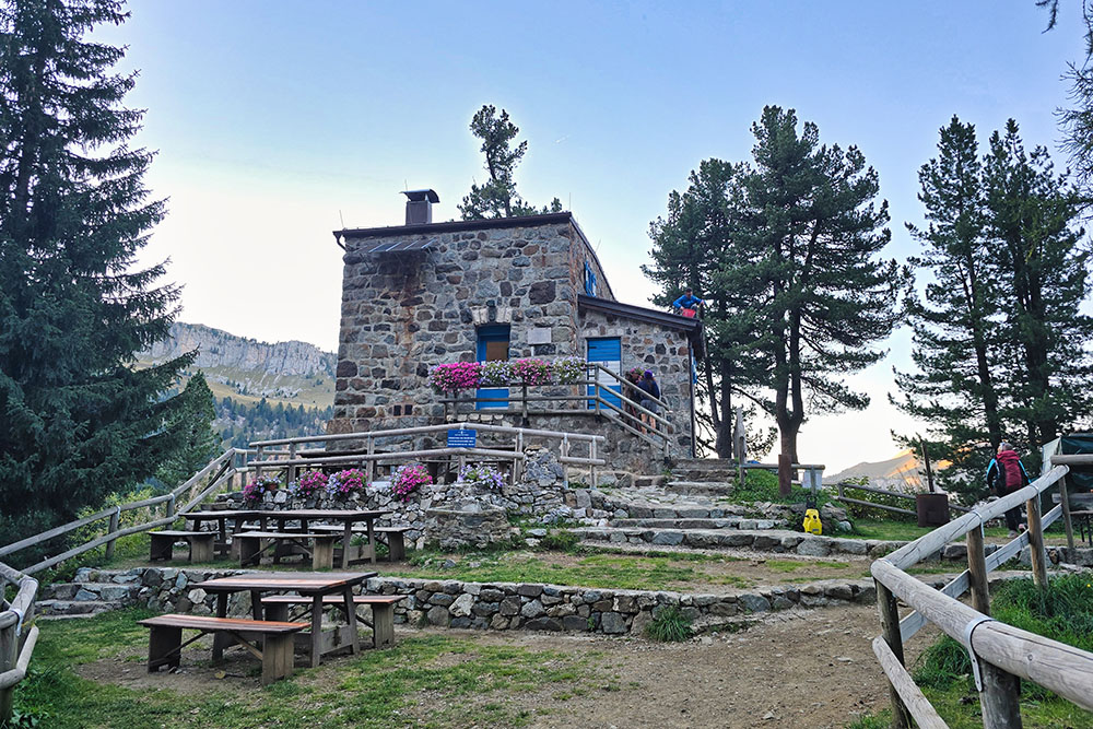
Il Rifugio Taramelli