Durata
 6:45 h
Distanza
 14,1 km
Ascesa
 1132 m
Discesa
 1132 m
H Max
 2889 m
H Min
 1830 m
Monte Re di Castello
DESCRIPTION
Re di Castello, 2,889 metres of scree, trenches and silence.
Geographic location
Monte Re di Castello (2,889 m) is an imposing, wild mountain in the Adamello Group, in the southern Rhaetian Alps. It rises on the main ridge that separates Lombardy from Trentino. It is the second-highest peak of the Re di Castello-Blumone chain, after Monte Frisozzo. It marks the boundary between the provinces of Trento and Brescia.
Hike
The route changes character three times. Up to Lake Campo, it is a walk through the woods, with no difficulty. Up to Campo Pass, the path becomes much steeper. Higher up, you move over tiring scree slopes, in a wild and unspoiled landscape.
The final stretch to the summit, about 80 metres of elevation gain, is the most demanding: you have to grip the large boulders with your hands. Sturdy boots and a sure step are essential.
The summit is isolated and lonely, and the panorama opens up through 360 degrees: to the north, the central sector of the Adamello, with Lobbia and Mandrone; to the north-east, Lake Malga Bissina and Carè Alto; to the north-west, Val Ghilarda with Lake Arno and, beyond, Valcamonica; to the west, Frisozzo and the Tredenus peaks; to the south, the unmistakable Cornone di Blumone and the Laione-Listino ridge.
The only refreshment point is the Maria e Franco mountain hut.
History and curiosities
Lake Campo recalls a curious episode. On 18 July 1866, Italian troops crossed Campo Pass from Valcamonica to join the Garibaldian regiments of the Giudicarie. The armistice of 25 July caught them camped right on the lakeshore.
Re di Castello was part of the Italian front in the southern sector of the Adamello and marked the strategic watershed between Trentino and Lombardy. Traces of the Great War remain on the summit, because the peak was held by the Italian army. Before the conflict, Campo Pass marked the border between Austria and Italy.
The Maria e Franco mountain hut, formerly the Brescia mountain hut, was inaugurated in September 1911 near Lake Dernal, at 2,577 m. It was meant to give support to mountaineers in an area that was then little known and rarely visited. During the Great War it was requisitioned and turned into a small barracks, part of the second Italian defensive line. After the conflict it went back to operating as a mountain hut, until the Second World War, when it was destroyed. It lay in ruins until the end of the 1970s. Thanks to a donation from the Lomini family, it was rebuilt and named after the couple Maria and Franco.
ITINERARY
From the Lake Malga Bissina car park (1,850 m), take path no. 242 and reach first Lake Campo (1,945 m), then Campo Pass (2,298 m). From here, climb up the Sega d’Arno following trail marker 601 and pass two junctions. At the first, leave the 601 and continue on a military mule track. At the second, keep left and climb over scree (grade I) to the summit of Monte Re di Castello (2,889 m).
Return to the junction and keep left, following marker 620, to the Maria e Franco mountain hut (2,577 m). Then descend to Lake Dernal, following marker 601, and return to the starting point by the outward route.
EXCURSION DATE
12 September 2026
STARTING POINT
Lake Malga Bissina car park
REFRESHMENT POINT
Maria e Franco mountain hut
AUTHOR’S SUGGESTIONS
Those who want to climb at a relaxed pace can stay overnight at the Maria e Franco mountain hut and tackle the summit the next day.
SAFETY ADVICE
The practicability of the proposed itinerary, like all mountain terrain, is subject to environmental changes caused by natural events and weather conditions. Before setting out, therefore, consult the relevant tourist offices and/or the reference mountain huts.
Our GPX tracks are indicative only: the route was completed as best as possible given the trail and weather conditions on that day. Always assess on the spot what to do.
Remember also to evaluate the route according to your physical abilities, your training and the equipment you have.
It is advisable to let someone know the itinerary you intend to follow.
Remember that the emergency number is 112.
EQUIPMENT
We recommend carrying equipment suited to the route, the weather and the season: windproof and/or waterproof jacket, map and/or GPS device, sunglasses, sunscreen, hiking boots, first-aid kit, appropriate clothing, gloves, backpack with food and drink.
RECOMMENDED MAPS
Tabacco 077 Adamello Sud: Val Daone - Valli Giudicarie
USEFUL LINKS
https://book.pnab.it/it/prenota-parcheggio/val-daone-val-fumo/malga-bissina
HOW TO ARRIVE
From Lake Idro or from Tione di Trento, take the SS237 to the village of Pieve di Bono. From here, go up Val di Daone to the dam of Lake Malga Bissina, about 25 km.
PARKING AREA
Lake Malga Bissina car park, paid in summer. You can book on the website.
GPS coordinates: 46.051142, 10.510715
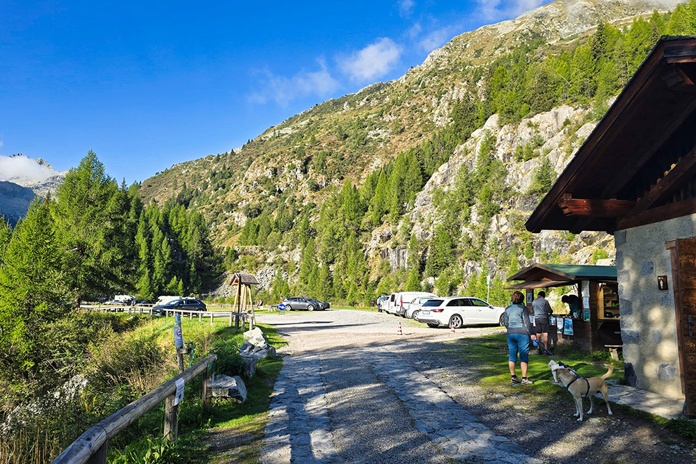
Parcheggio presso Lago Malga Bissina
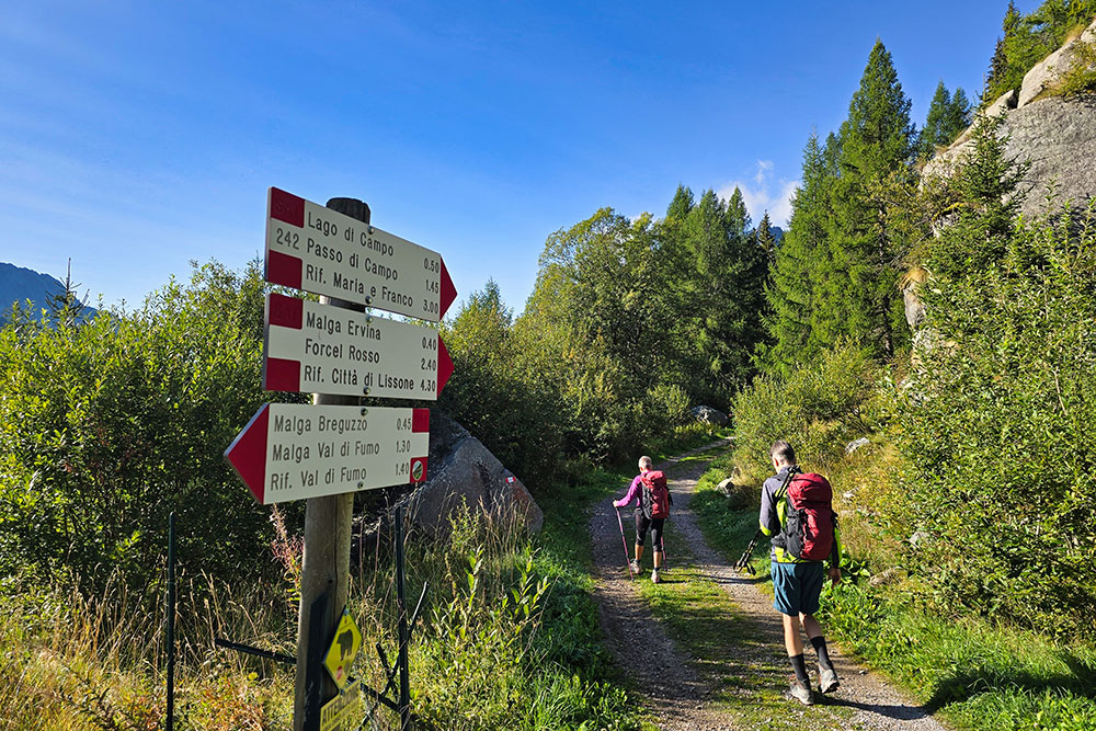
Si va verso il Lago di Campo
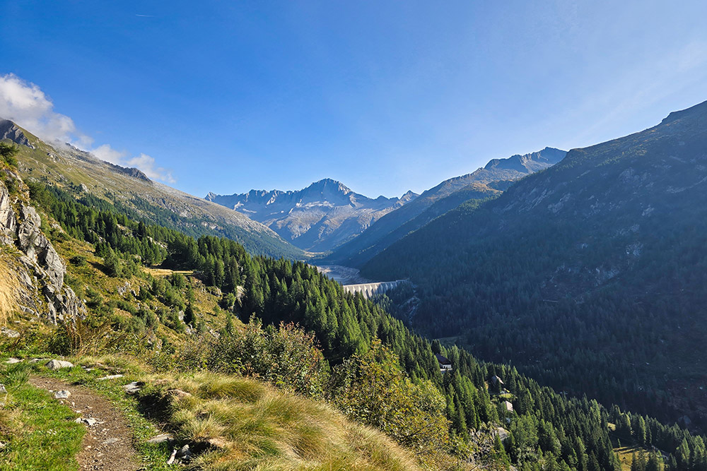
Lago Malga Bissina con il Carè Alto
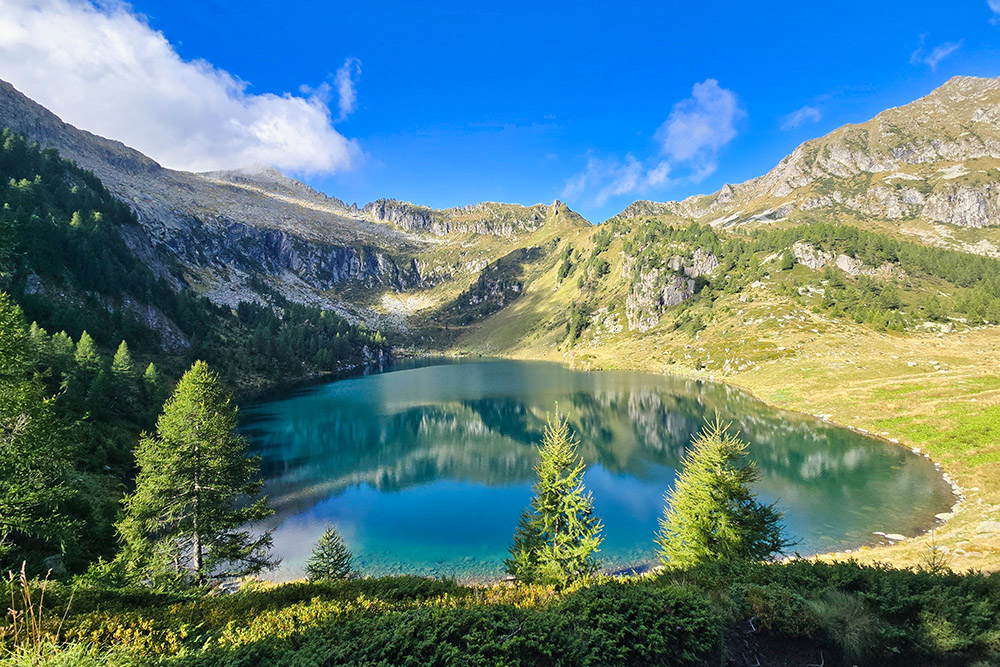
Arrivati al Lago di Campo
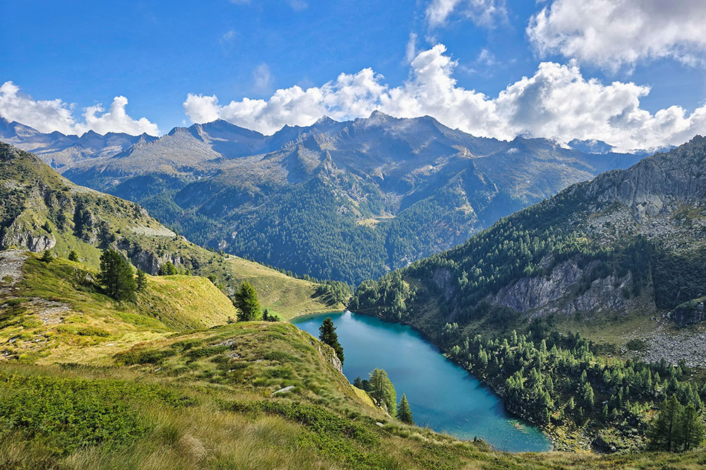
Lago di Campo dall'alto
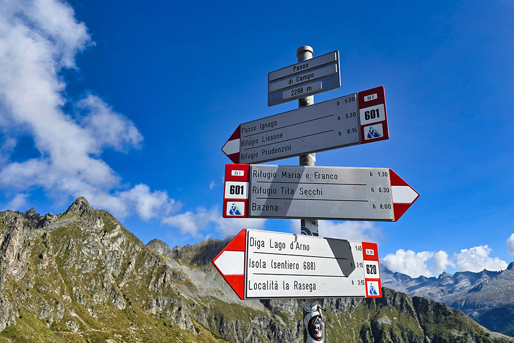
Passo di Campo
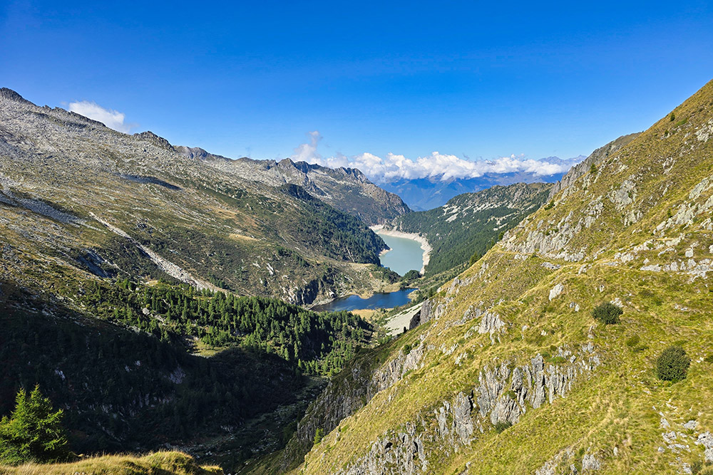
Vista verso la Val Ghilarda
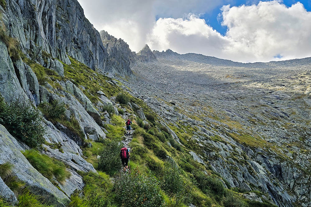
La cresta impervia della Sega d'Arno
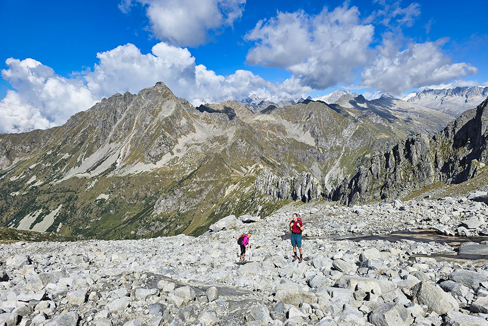
Saliamo sulla pietraia
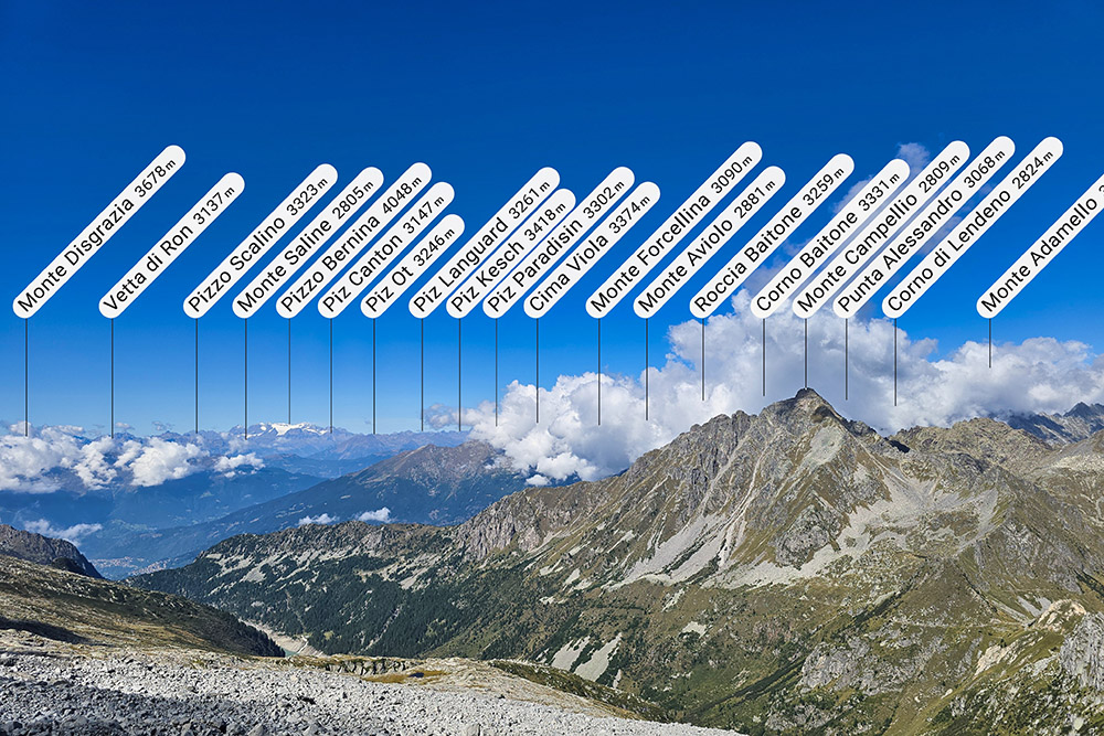
Vista verso il Bernina e Campellio
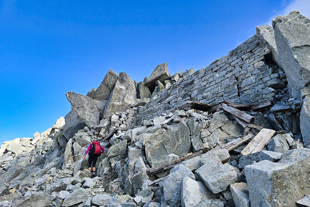
Resti di fortificazioni
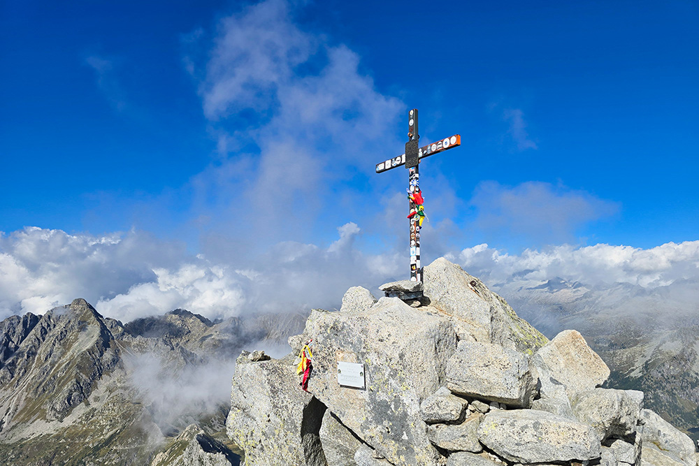
Croce di vetta del Monte Re di Castello
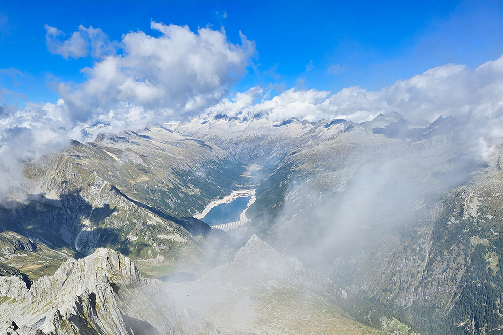
Vista verso l'Adamello e il Lago di Malga Bissina
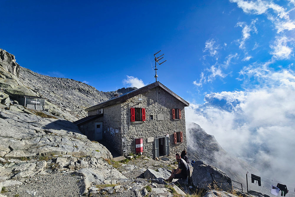
Rifugio Maria e Franco
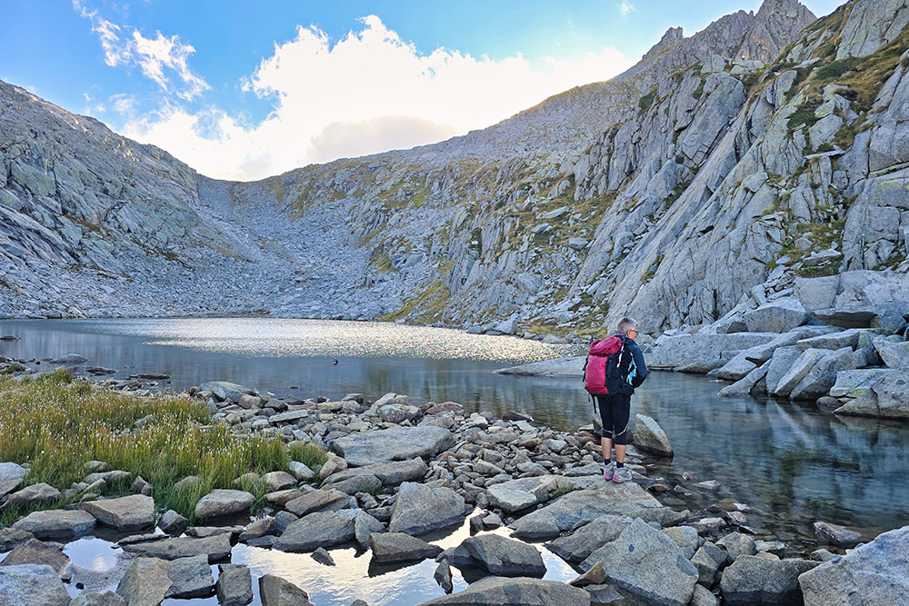
Lago Dernal