





Durata
 5:55 h
Distanza
 15,1 km
 Ascesa
 1250 m
Discesa
 1250 m
H Max
 2534 m
H Min
 1485 m
Via Ferrata Crepa Neigra
DESCRIPTION
From Alba di Canazei to Crepa Neigra: a mix of biking, trekking and via ferrata.
Geographic location
Crepa Neigra is a 2,534-metre peak in the Marmolada Group, in the municipality of Canazei, in Val di Fassa (Trentino-Alto Adige). It rises above the Ciampac basin, one of the valley's busiest areas for skiing and hiking.
Hike
The Crepa Neigra via ferrata is among the most recent additions to the Dolomites: equipped in 2025 and inaugurated in 2026. The route runs mostly horizontally — just 80 metres of vertical gain along roughly 500 metres of cable — staying a few metres below the summit throughout. Because of this, the view keeps changing as you progress, opening onto the Marmolada, Gran Vernel, the Sella Group, Sassolungo and Sassopiatto.
The technical level isn't high — the official rating is EEA-PD, though we classify it B/C — but the exposure stays constant along the whole route. Beginners shouldn't underestimate this. Approaching from Alba di Canazei by cable car makes the hike accessible to most people; choosing a mountain bike instead, as we did, raises the difficulty considerably. The unpaved uphill road is steep and gravelly in places, while the descent, on the dedicated trail, reaches an S2 difficulty.
History and curiosities
Despite sitting in the heart of the Dolomites, Crepa Neigra stands apart from its surroundings: it's a mountain of volcanic origin. The rock isn't basalt in the strict sense, as is sometimes claimed, but a dark volcanic conglomerate made of clasts of various sizes cemented together — an unusual feature compared with the dolomite that makes up most of the massif. This dark colour gives the mountain its Ladin name, Neigra, meaning “black.”
ITINERARY
From the car park at Alba di Canazei (1,485 m), cycle to the Church of Sant'Antonio and then to the Cèsa Al Bosch junction. From here, follow the road to the Ciampac mountain hut, trail marker 644, climbing a very steep unpaved stretch to the hut (2,145 m). Leave the bike and continue on foot, still along trail marker 644, to the Brunech saddle (2,428 m). Continue toward Pian de Sele along a comfortable, scenic ridge.
At Pian de Sele (2,346 m), take the path to the via ferrata's start. The route, almost entirely horizontal with only a few vertical stretches, includes a metal ladder about ten metres long, not overhanging. From the summit of Crepa Neigra (2,534 m), the via ferrata continues briefly downhill to the junction with the path back to Pian de Sele. From there, descend toward the Ciampac mountain hut following trail marker 645. The return by bike can follow the same road used on the way up, or an S2-difficulty MTB trail.
On foot: 6.6 km, 4h25, 587 m of elevation gain
By bike: 8.4 km, 1h30, 663 m of elevation gain
EXCURSION DATE
5 September 2026
STARTING POINT
Base station of the Alba-Ciampac cable car
REFRESHMENT POINT
Ciampac mountain hut and Tobià del Giagher mountain hut
AUTHOR’S SUGGESTIONS
Obviously not recommended for anyone who suffers from vertigo. For the biking section, we recommend it only to experienced mountain bikers.
SAFETY TIPS
Like all mountain terrain, this route's condition can change due to natural events and weather. So before setting out, check with the local tourist offices and/or the relevant mountain huts.
Our GPX tracks are indicative only: we recorded the route under the trail and weather conditions of that particular day. So always assess conditions on site.
Also remember to judge the route against your own physical fitness, training and equipment.
Tell someone your planned itinerary before you leave.
Remember that the emergency number is 112.
EQUIPMENT
Suitable gear is essential: technical mountain clothing, boots with Vibram or similar soles, a via ferrata kit, harness, helmet, via ferrata gloves, sunglasses, sunscreen, and a backpack with drinks.
RECOMMENDED MAPS
Tabacco 06 Val di Fassa - Dolomiti Fassane
INTERESTING LINKS
https://www.albaciampac.it/
HOW TO ARRIVE
From Canazei, head toward Alba, in the direction of Passo di Fedaia, and park at the Ciampac cable car.
PARKING AREA
Base station of the Alba-Ciampac cable car, paid parking
GPS coordinates: 46.458081, 11.788285
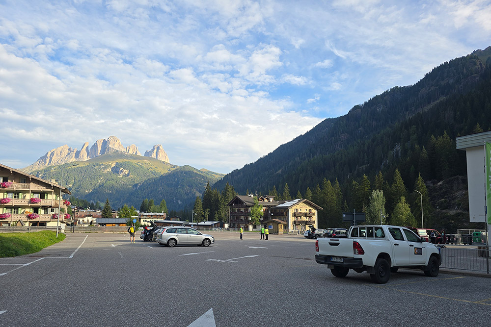
Parcheggio a Alba di Canazei
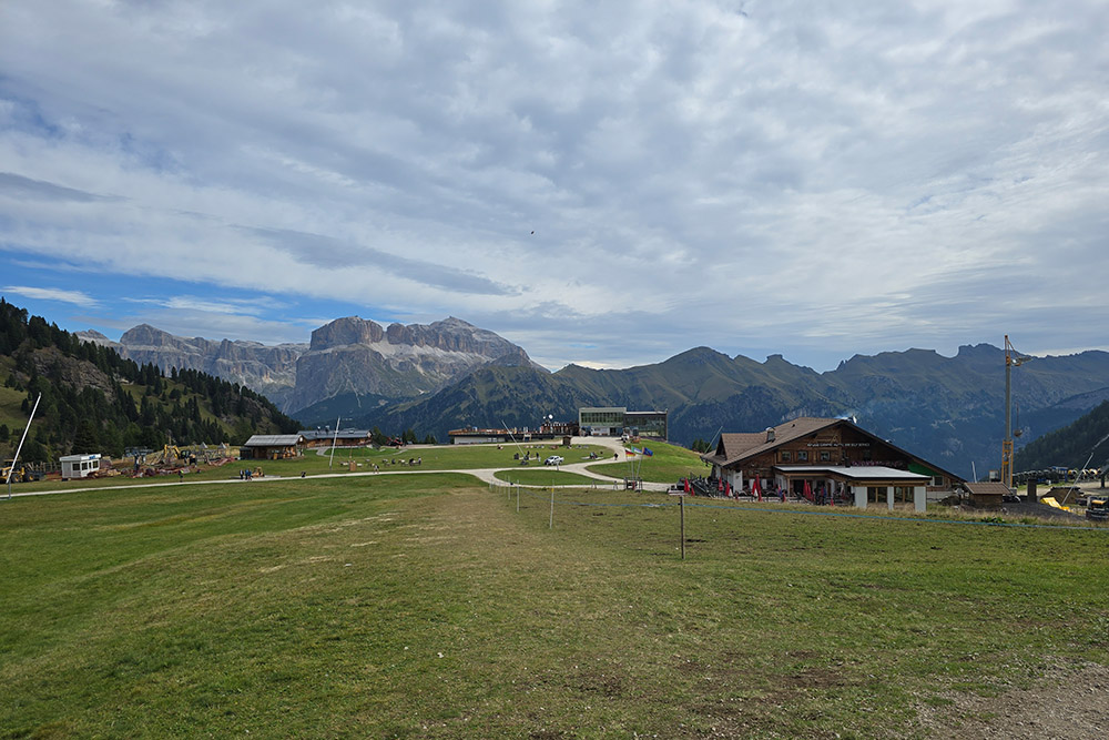
Il Rifugio Ciampac
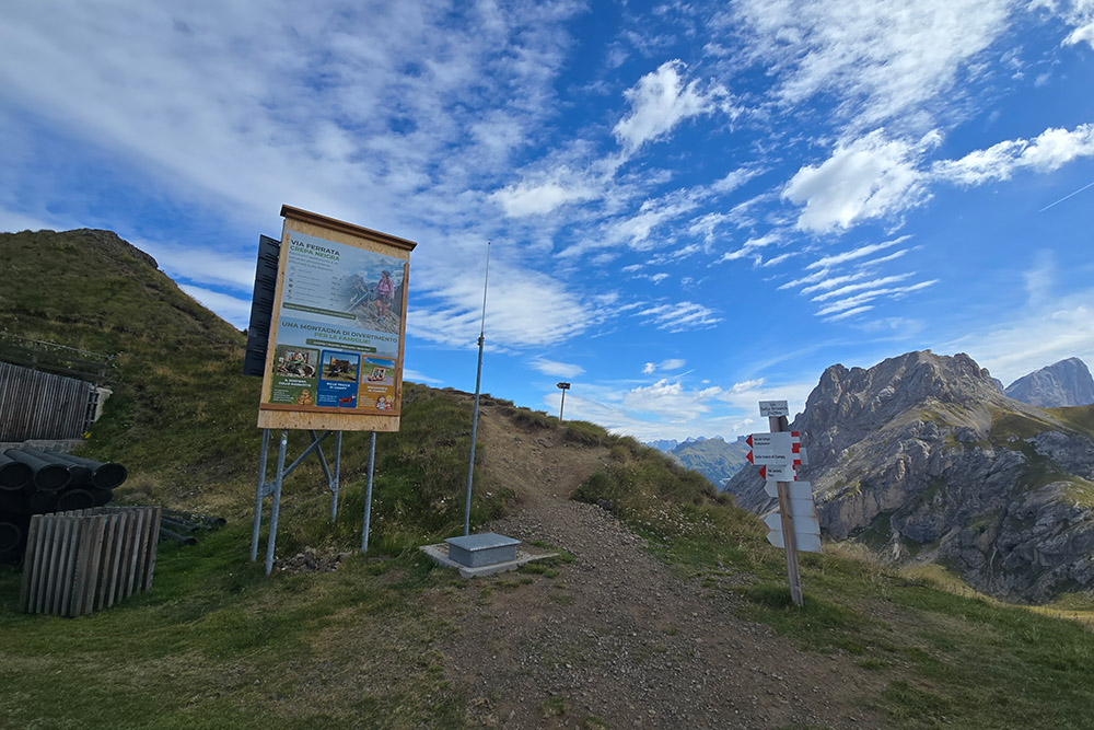
Sella del Brunech
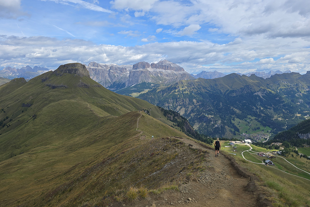
In cresta con un magnifico panorama
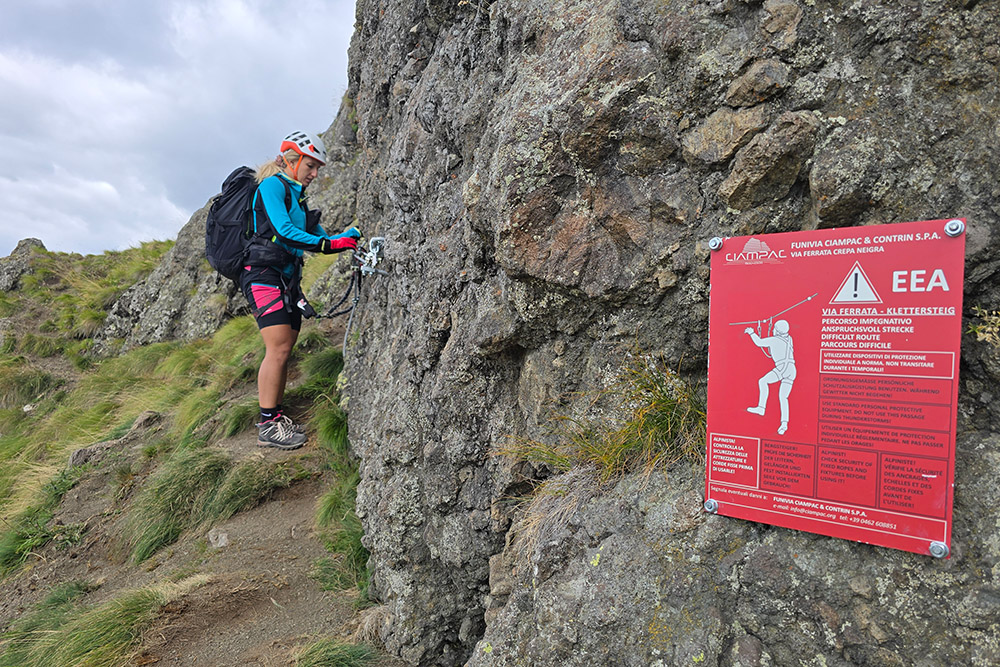
Attacco della ferrata
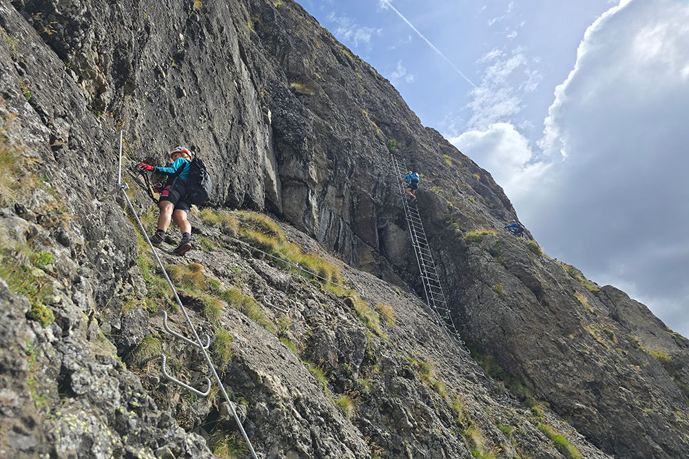
Ci avviciniamo alla scala
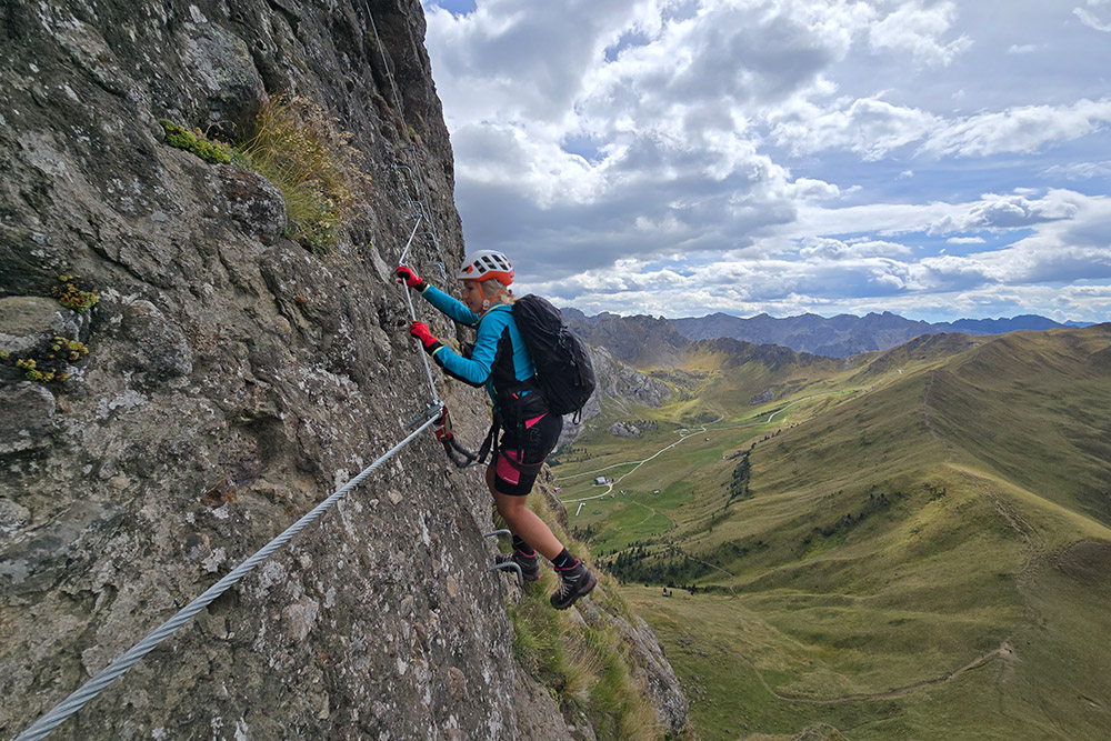
Traverso esposto
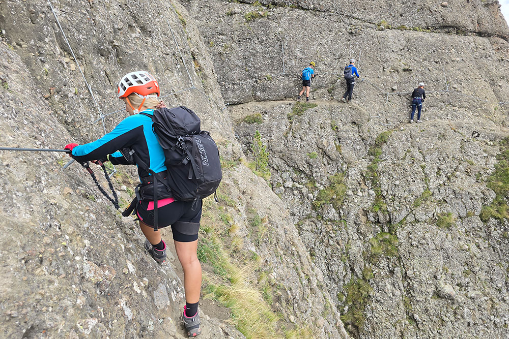
Continuiamo in orizzontale
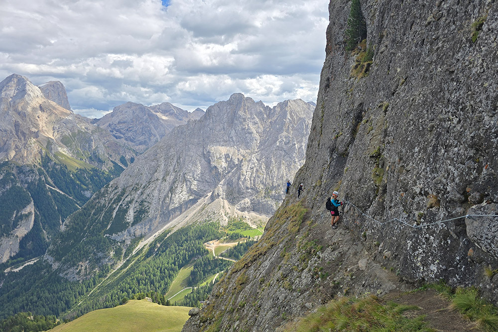
Panorama sempre fantastico
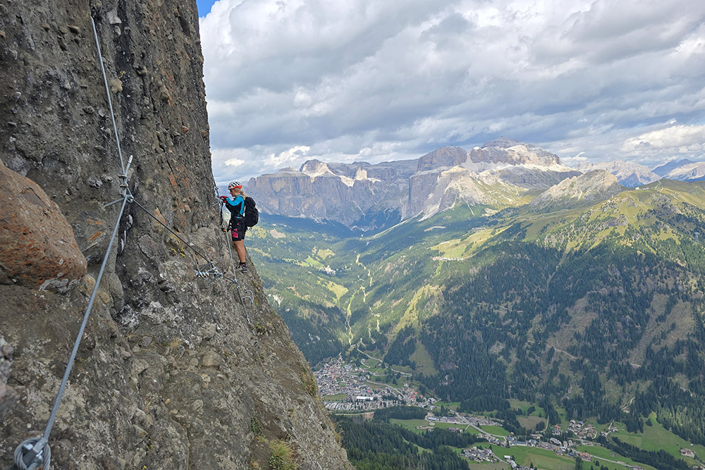
Uno dei punti più esposti
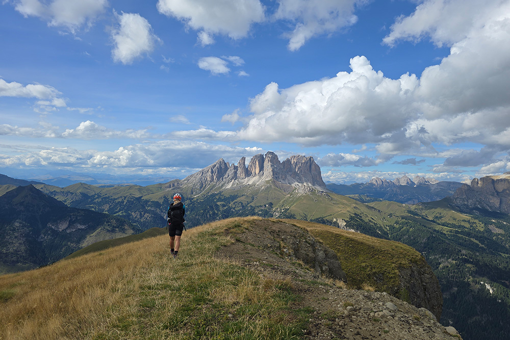
In vetta alla Crepa Neigra
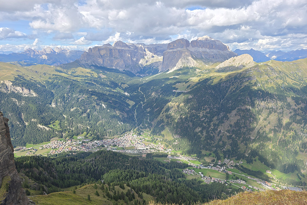
Panorama verso il Gruppo del Sella
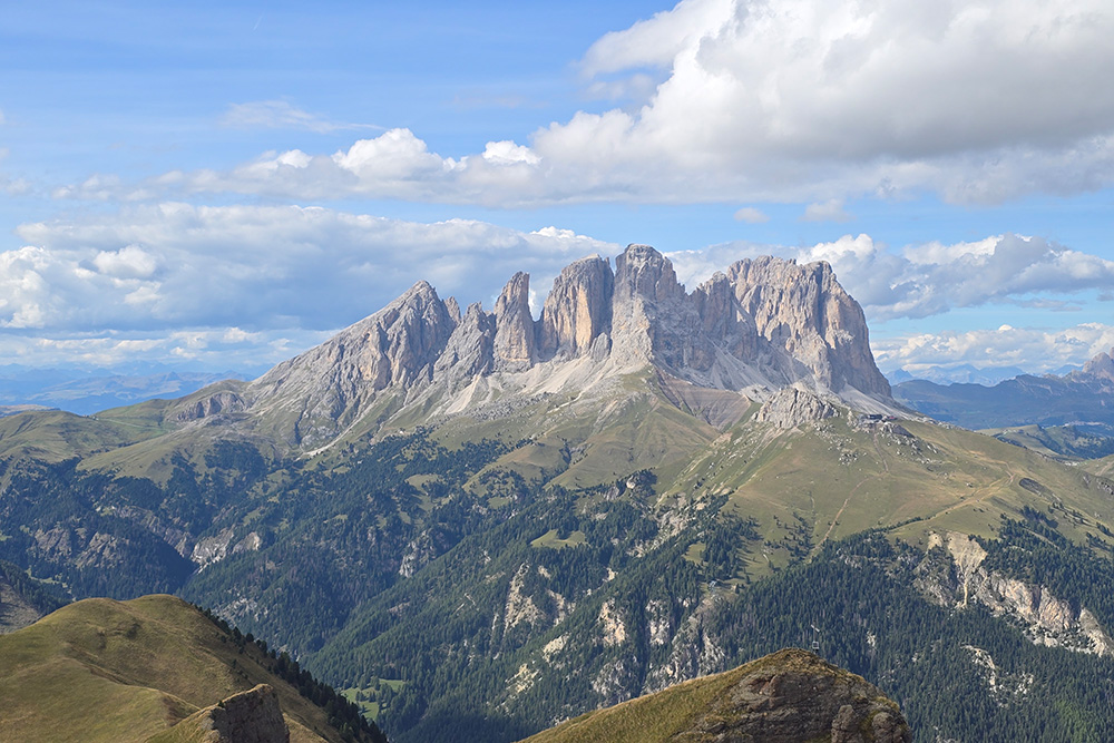
Panorama verso il Sassolungo
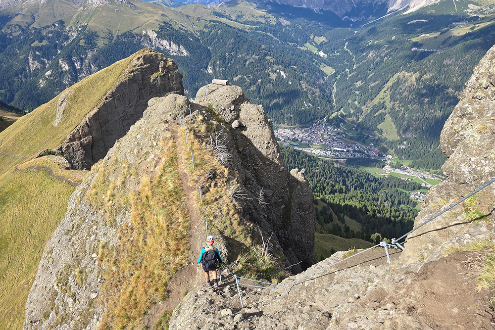
Scendiamo
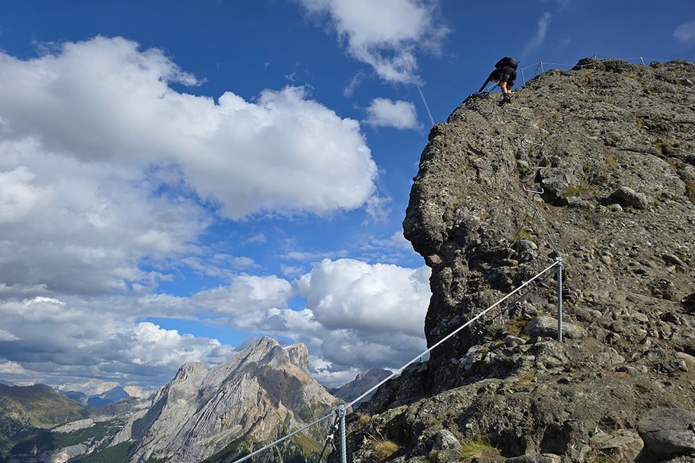
Ultimo tratto di ferrata