






Durata
 7:00 h
Distanza
 14,6 km
 Ascesa
 1354 m
Discesa
 1354 m
H Max
 3058 m
H Min
 1846 m
Sasso Vernale, the Pyramid of the Marmolada
DESCRIPTION
Sasso Vernale: the mountain that marks spring.
Geographical Location
Sasso Vernale (3058 m) belongs to the Marmolada Group, in the heart of the Dolomites. It rises in the Municipality of Rocca Pietore, in the Province of Belluno (Veneto), on the border with the Province of Trento (Trentino-Alto Adige).
It dominates the rocky Ombretta-Ombrettola Subgroup like a massive stone pyramid. The impression is even stronger from Passo delle Cirelle. From there, its elegant silhouette anticipates the ridge of the Cime di Ombretta and the south face of the Marmolada.
Hike
Fourteen and a half kilometres, 1354 metres of elevation gain: the itinerary is demanding. The real effort begins with the scree slopes. The unstable ground takes away push and grip, and every step costs more.
The last section climbs along the south ridge. You follow a track among rocks, emplacements and Italian walkways from the Great War. Attention is needed especially where the rock is covered with fine gravel. For this reason, good training, a steady foot, no fear of heights and a certain familiarity with high mountains are required. With snow or ice, the ascent should be avoided.
From the beginning of the scree slopes, the landscape changes. Only rocks, debris and First World War trenches remain: a lunar environment. From the summit, and not only from there, the gaze embraces the Dolomite peaks all around. The return, if you descend at a run and sliding on the scree, is fast and fun.
History and Curiosities
The name Sasso Vernale most likely derives from the Latin ver, spring. From the sanctuary of St. Juliana, the most important in Val di Fassa, near Vigo di Fassa, the mountain lies exactly to the east. The Sun rises behind it on the days of the equinoxes, when its declination is 0° and its azimuth 90°. Sasso Vernale therefore means Stone of Spring. The inhabitants of the valley, first Raeti and later Ladins, saw the star appear behind it and knew that it was the first day of spring or autumn.
At Passo Ombrettola, a plaque commemorates Captain Arturo Andreoletti. An expert mountaineer and founder of the ANA, with the Alpini of the 206th Company Val Cordevole he fortified the entire pass with trenches and artillery emplacements. He also created a dense network of military paths, still clearly visible and walked today.
Above the Fuciade basin, at about 2200 metres in Val di Tasca, on the border between the municipalities of Falcade and Soraga, stands a peace monument. It was inaugurated in July 2015 to remember the Fallen of the First World War and of all conflicts, on the centenary of Italy's entry into the war.
ITINERARY
From the locality Fuciade – Col de Mez (1855 m), ascend along the road to the Rifugio Fuciade mountain hut (1982 m). Here, take trail no. 607 towards Passo delle Cirelle. At the pass (2684 m), follow the 607 waymark for a few metres, with the indication Rifugio Contrin. At the first junction, keep right and continue on the 612B, indication Passo Ombrettola. Having reached Passo Ombrettola (2861 m), follow the south ridge of Sasso Vernale. In about 30 minutes you arrive at the summit (3058 m). Back at the pass, ascend to Cima Ombrettola (2923 m). The return to the car park is via the same itinerary as the outward journey.
EXCURSION DATE
19 August 2026
STARTING POINT
From the Col de Mez car park near Passo San Pellegrino
REFRESHMENT POINT
Rifugio Fuciade mountain hut (1982 m)
AUTHOR’S SUGGESTIONS
In case of snow or ice, be very careful.
SAFETY ADVICE
The practicability of the proposed itinerary, like all mountain morphology, is subject to environmental changes due to natural events and weather conditions. Therefore, before setting off, consult the competent tourist offices and/or the reference mountain huts.
Our GPX tracks are only indicative, that is, the route was carried out in the best possible conditions of the trails and weather of that day. Therefore, always assess on site what to do.
Also remember to assess the route based on your physical abilities, training and the equipment you have.
It is advisable to leave word with someone about the itinerary you intend to do.
Remember that the emergency number is 112.
EQUIPMENT
It is recommended to have equipment suitable for the route, the weather conditions and the season: windproof and/or rainproof jacket, map and/or GPS device, glasses, sun cream, boots, first aid kit, specific clothing, gloves, rucksack with food and drinks.
RECOMMENDED MAPS
Tabacco 015 Marmolada - Pelmo - Civetta - Moiazza
INTERESTING LINKS
https://www.fuciade.it/
HOW TO ARRIVE
From Moena: SS346 to Passo San Pellegrino. Continue in the direction of Falcade for 1.5 km, on the left take an asphalt road in the direction of Rifugio Flora Alpina. Continue for 1 km arriving at the car park.
PARKING AREA
In the locality Fuchiade - Col de Mez
GPS coordinates: 46.382129, 11.823521
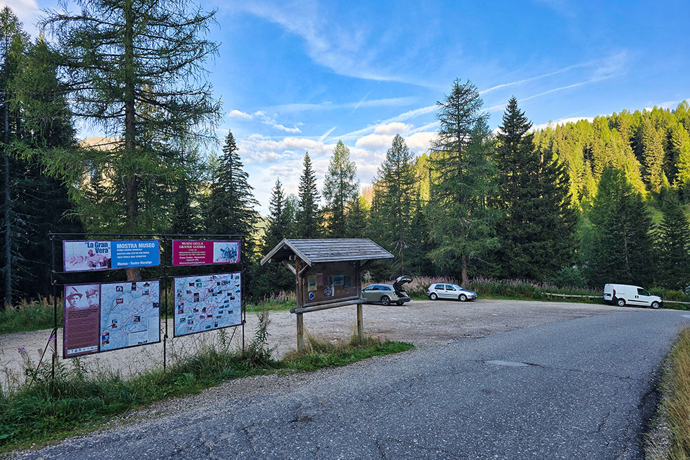
Parcheggio
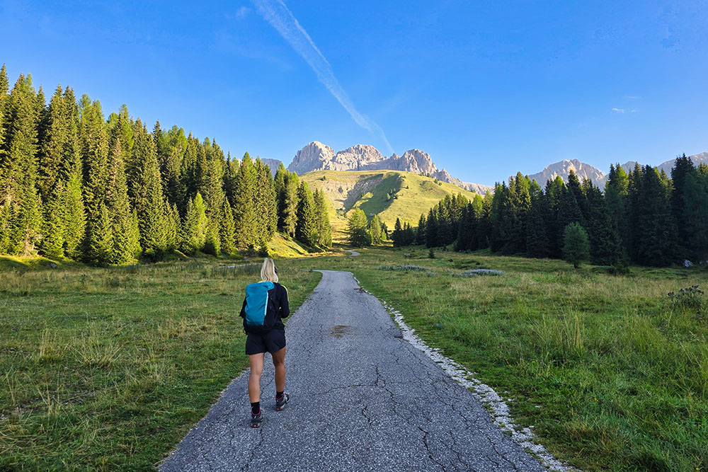
Si sale su stada asfaltata
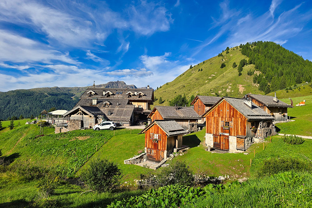
Rifugio Fuciade
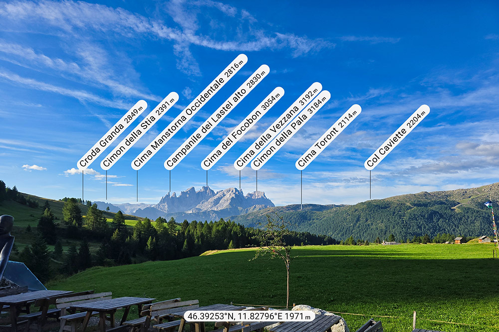
Vista sulle pale di San Martino
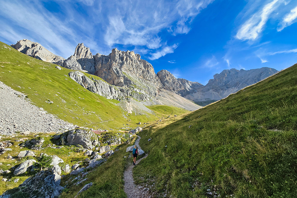
Si sale verso il Passo delle Cirelle
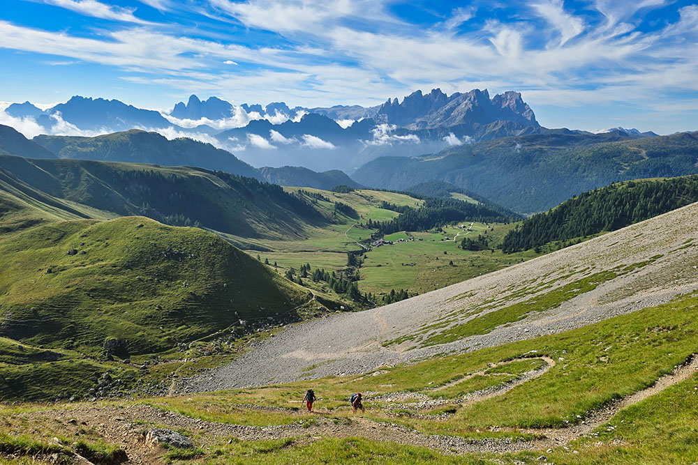
Si sale con ul panorama grandioso alle spalle
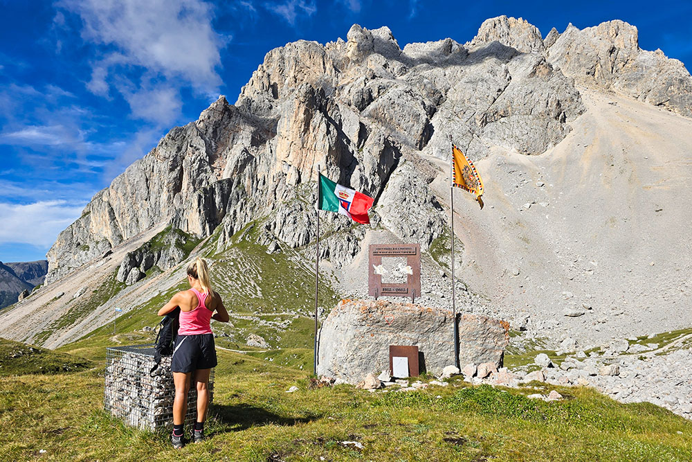
Monumento al centenario della Grande Guerra
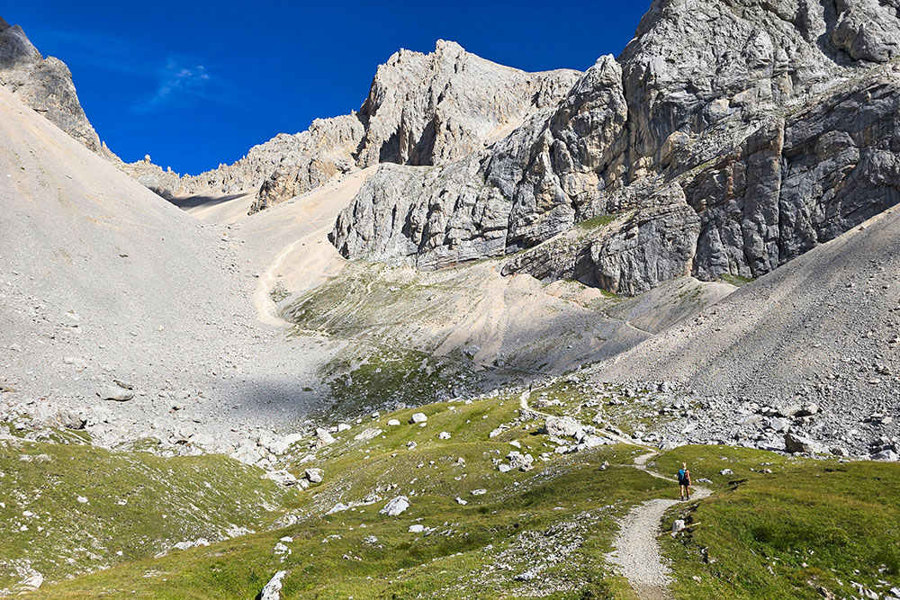
Iniziano i ghiaioni
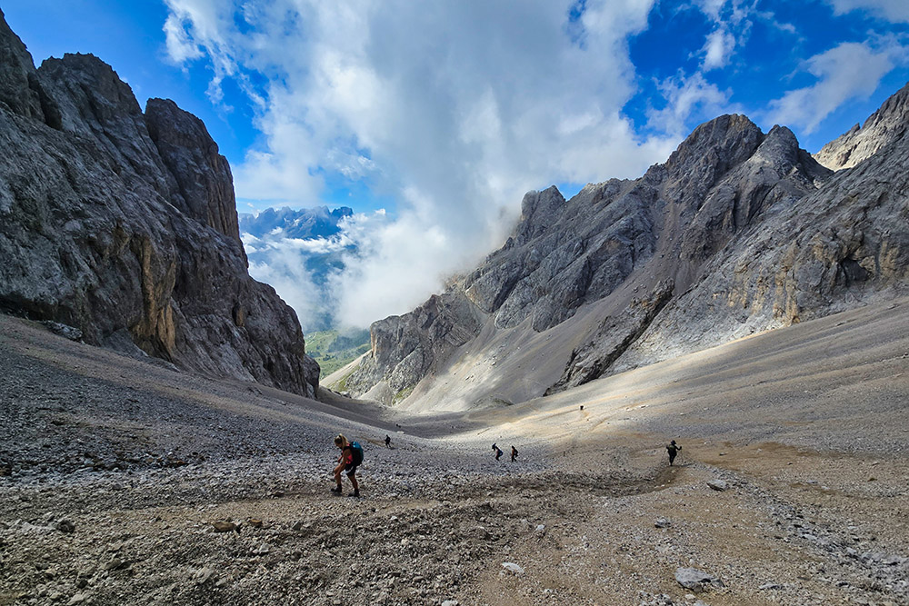
Ultimo tratto molto ripido
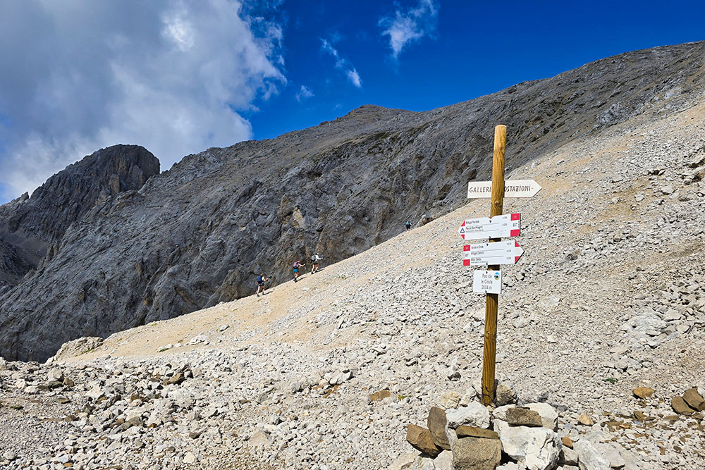
Arrivati al Passo delle Cirelle
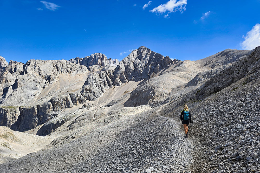
Si va verso il Passo di Ombrettola
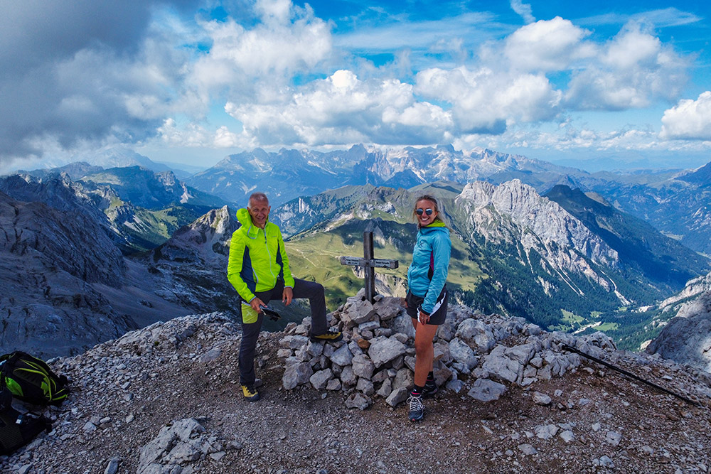
In vetta al Sasso Vernale
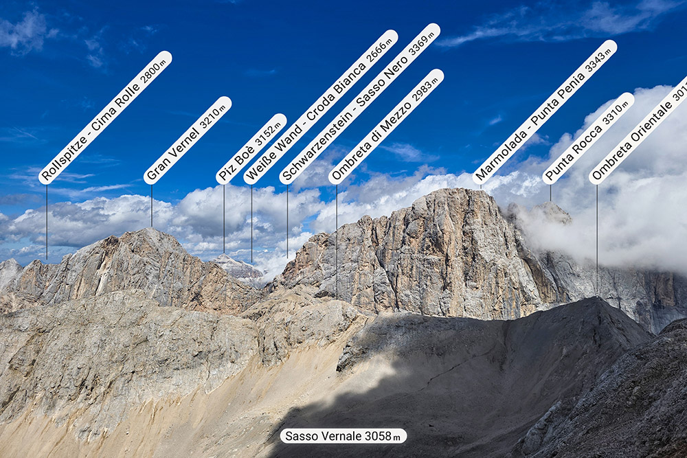
Vista verso la Marmolada
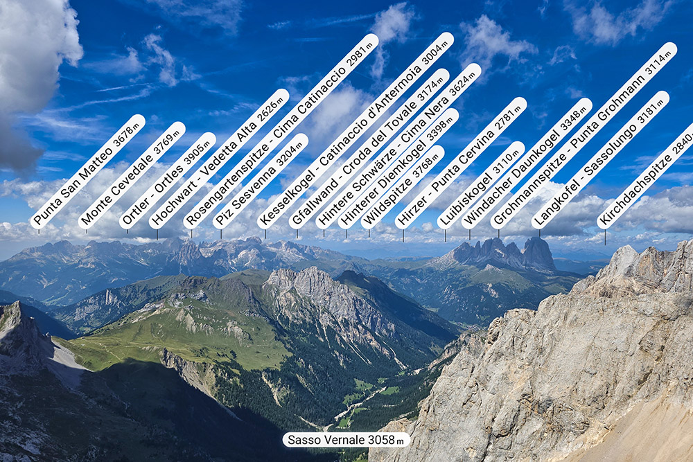
Vista verso il Catinaccio e il Sassolungo
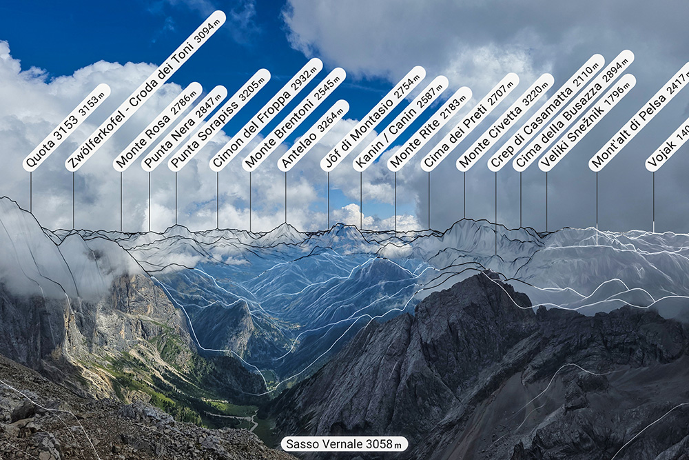
Vista verso l'Antelao e il Civetta