




Durata
 5:30 h
Distanza
 11,7 km
 Ascesa
 1091 m
Discesa
 1091 m
H Max
 3061 m
H Min
 2044 m
Croda della Calva
DESCRIPTION
Croda della Calva: the easiest three-thousander in Val Martello.
Geographical location
Croda della Calva, known in German as Kalfanwand (sometimes also referred to as Kalvenwand), is a 3,061-metre mountain located in the Autonomous Province of Bolzano, at the head of Val Martello. It towers over the small side valley of Peder and separates Val Martello from Valle di Valles. The summit lies within Stelvio National Park, one of the largest in Europe with its 130,734 hectares.
Hike
Croda della Calva is one of the easiest and most accessible peaks above three thousand metres in Val Martello and Val di Valles, and can be tackled both in summer and winter. A well-marked trail, free of rocky steps and climbing passages, leads to the summit without technical difficulties.
From the top, the panorama opens onto a wide arc of glaciers and peaks. To the east, Cima Gioveretto and the Cime Venezia and Marmotta stand out, wrapped in their own glaciers. To the south, the Peder Valley opens up, with some small lakes at its floor. Further away, Cevedale dominates, remaining one of the giants of the group with its 3,769 metres. To the west, the thin blade of Gran Zebrù is recognisable, another of the great peaks surrounding the Ortles.
The best months for the ascent are July, August and September, provided that no snow has just fallen on the summit sections.
History and curiosities
Stelvio National Park, which includes Croda della Calva, is among the oldest protected areas in Italy: established in 1935, it was created to protect the natural beauty of the Ortles-Cevedale mountain group and to promote sustainable tourism development in the Alpine valleys of Lombardy, Trentino and Alto Adige. Today it extends across 24 municipalities and four provinces, bordering the Swiss National Park to the north.
Itinerary
Starting from the last car park in Val Martello (2,044 m), the paid one, take trail marker 39 which, passing by Malga Peder or Stieralm (2,253 m), leads to the summit of Croda della Calva (3,061 m). Return along the same route and, below Dosso di Peder, take trail marker 33 in the direction of Malga Lyfi. At the next junction, keep right and descend along trail no. 10, which leads to Malga Lyfi (2,165 m). From the malga, return to the car park by following trail marker no. 8, a comfortable dirt road.
EXCURSION DATE
23 August 2026
STARTING POINT
Last car park in Val Martello
REFRESHMENT POINT
Malga Lyfi
AUTHOR'S SUGGESTIONS
At Malga Lyfi you can enjoy an excellent snack!
SAFETY ADVICE
The practicability of the proposed itinerary, like all mountain terrain, is subject to environmental changes due to natural events and weather conditions. Therefore, before setting off, consult the relevant tourist offices and/or the mountain huts for reference.
Our GPX tracks are indicative only, meaning the route was completed in the best conditions of the trails and weather on that day. Therefore, always assess on site what to do.
Also remember to assess the route based on your physical abilities, training and the equipment you have.
It is advisable to leave word with someone about the itinerary you intend to follow.
Remember that the emergency number is 112.
EQUIPMENT
It is recommended to have equipment suitable for the route, weather conditions and season: windproof and/or rainproof jacket, map and/or GPS device, sunglasses, sunscreen, boots, first aid kit, specific clothing, gloves, backpack with food and drinks.
RECOMMENDED MAPS
Tabacco 045 Laces - Val Martello - Silandro
INTERESTING LINKS
https://www.venosta.net/it/laces-val-martello.html
HOW TO ARRIVE
From Merano, take the SS38 towards Passo Resia. At Coldrano, turn left onto the road for Val Martello. Continue climbing for 23 km. The Enzian car park is 2.6 km from the end of the lake.
PARKING AREA
Last car park in Val Martello, paid
GPS coordinates: 46.488402, 10.687472
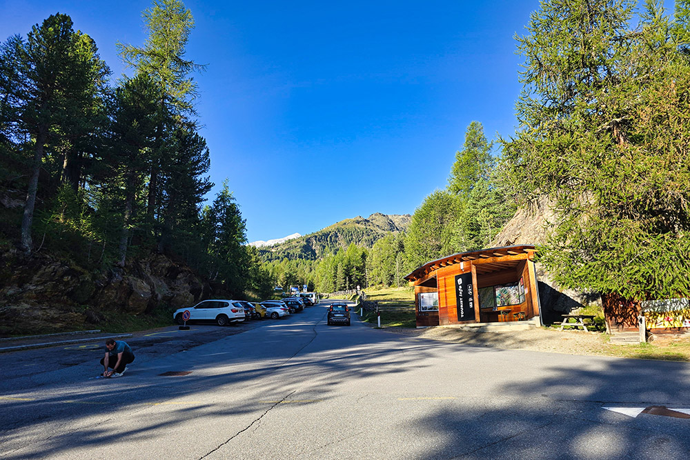
Parcheggio Val Martello
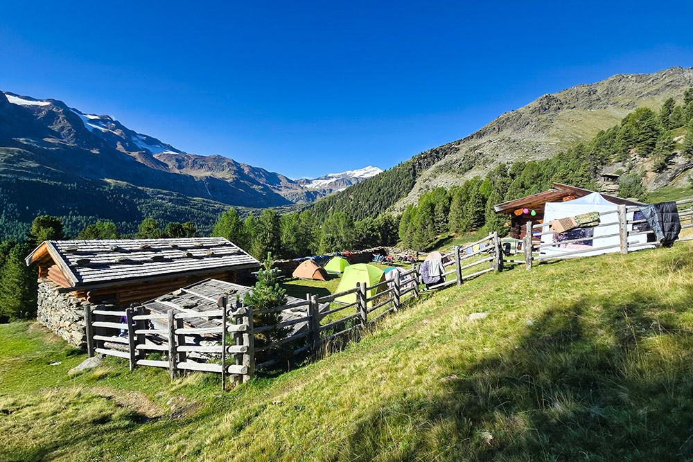
Malga Peder
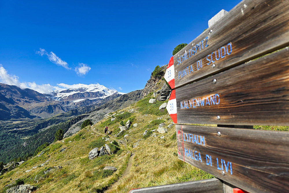
Seguiamo sempre il 39
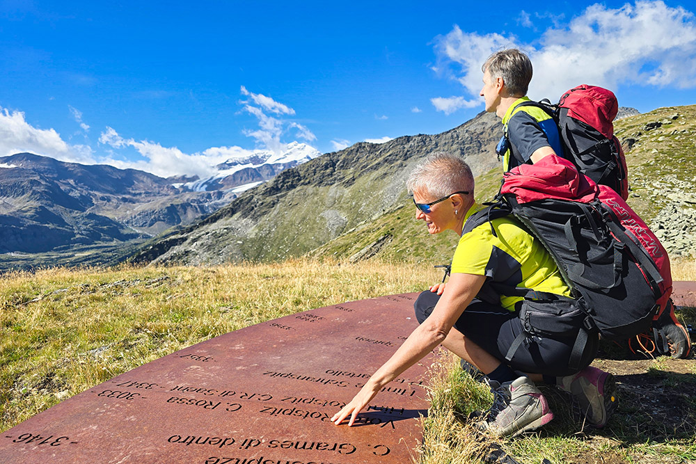
Piattaforma informativa
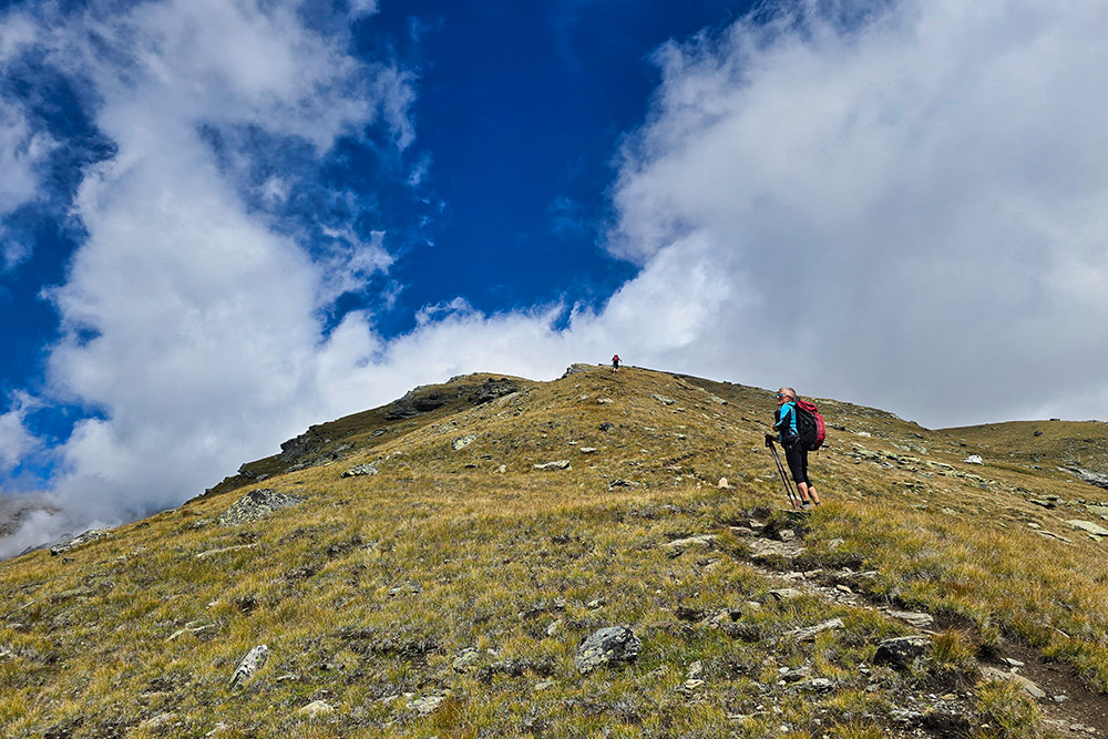
Si sale sulla cresta meridionale
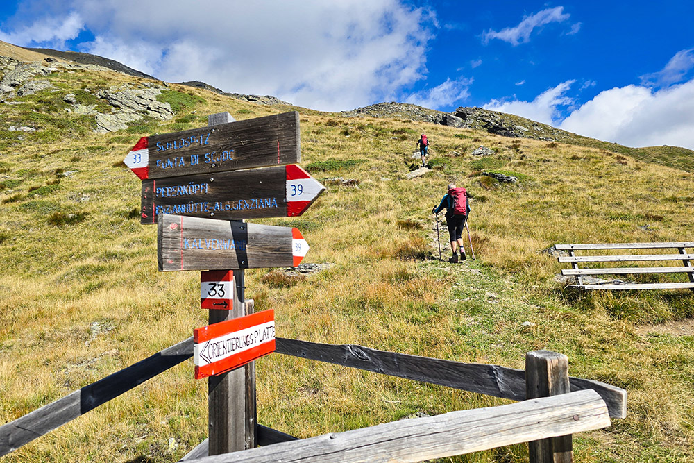
Ultimo bivio
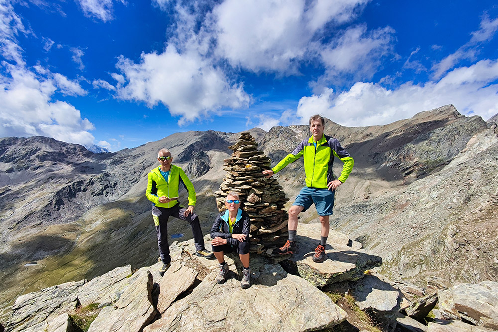
Arrivati in vetta della Croda della Calva
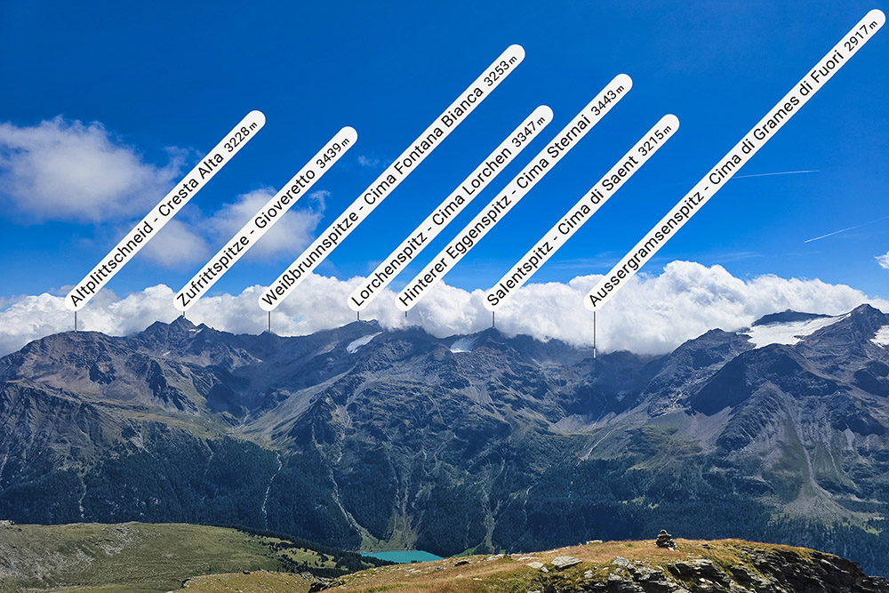
Panorama dalla vetta
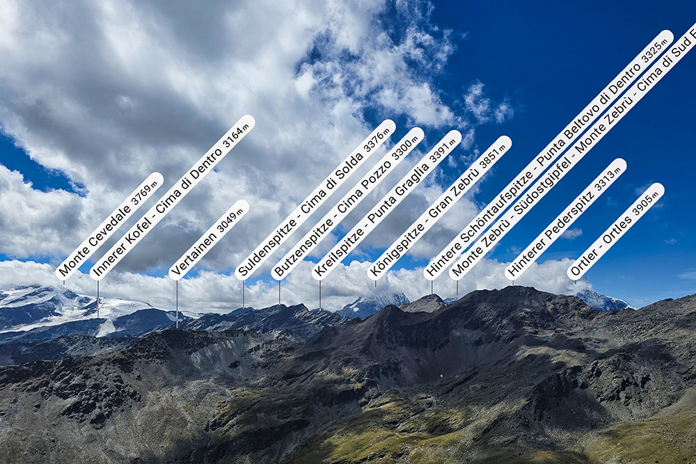
Panorama dalla vetta
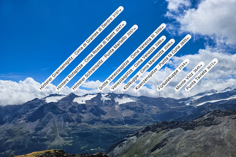
Panorama dalla vetta
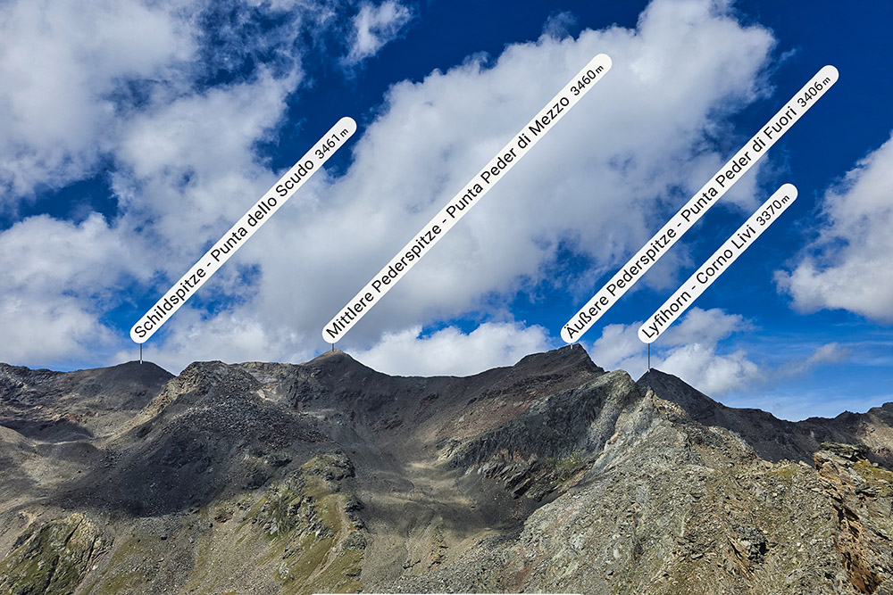
Panorama dalla vetta
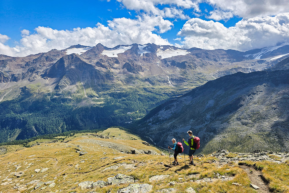
Si ritorna
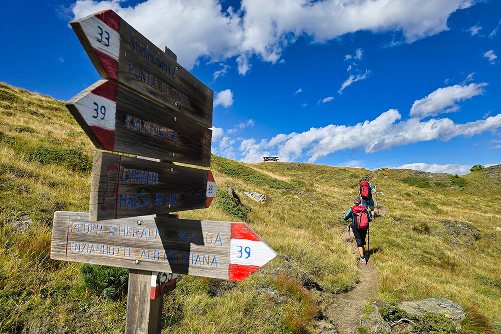
Si segue il 33
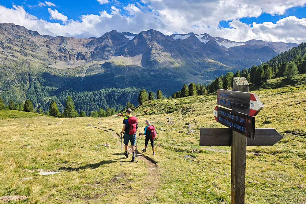
Si segue il 10
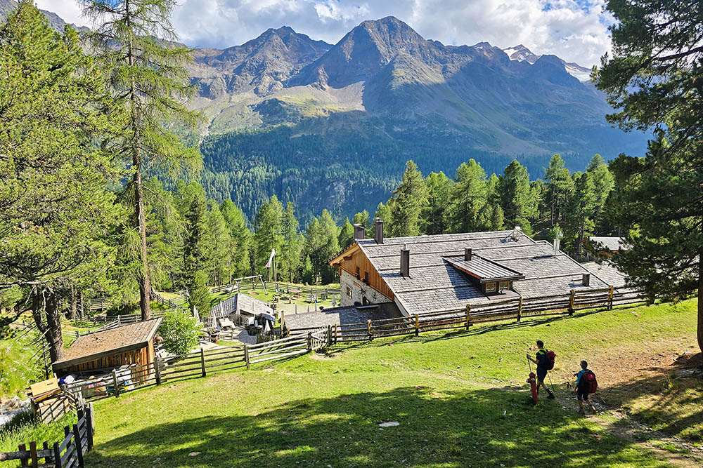
Malga Lyfi