






Durata
 5:50 h
Distanza
 13,2 km
 Ascesa
 1092 m
Discesa
 1092 m
H Max
 2641 m
H Min
 1595 m
Gaisjoch - Cima della Capra from the Altafossa Valley
DESCRIPTION
Gaisjoch, the mountain of goats: an ascent of 3rd-grade difficulty among granite boulders.
Geographical location
Cima della Capra, in German Gaisjoch (or Gaisjoch-Gurnatsch), is a 2641-meter peak located in South Tyrol, on the border between the Valle di Valles and the Valle d'Altafossa, within the municipality of Rio di Pusteria, not far from Maranza. The mountain rises on the eastern side of this area, facing the Jochtal ski resort, which occupies the western slope. The summit can be reached from both the Valle di Valles and the Valle d'Altafossa; the latter is the starting point for the hike described below.
Hike
This is a challenging loop hike: from the Valle d'Altafossa you ascend to the summit and return by crossing the valley again, passing the characteristic mountain huts Wieser, Pranterstadl and Großberg.
There are two alternatives for the ascent. The first, on the eastern side, follows trail 13B and is relatively simple. The second follows trail 13, with a vertical section that includes climbing passages up to the 3rd grade: this is the more demanding choice, but also the most fascinating for those seeking a more alpine experience. Those who prefer to stay on more accessible terrain can take trail 13B directly.
The most delicate section of trail 13 is the last 250 meters of elevation gain, where exposed 3rd-grade passages are overcome: here it is essential to move with confidence and not suffer from vertigo. For this reason, the itinerary is recommended only for expert hikers.
The summit is distinguished by an almost lunar landscape, shaped by large granite boulders, where an iron cross also stands. The descent along 13B, also strewn with stones but without exposed sections or climbs, is much easier than the ascent.
History and curiosities
The German name Gaisjoch (sometimes referred to as Gaisjoch-Gurnatsch) directly recalls the wild goats and chamois that populate this area, a connection also confirmed by the mountain's popular nickname, the homeland of the chamois.
ITINERARY
From the parking area in the Valle d'Altafossa (1606 m) take the dirt road, trail marker no. 15, to the Großberghütte (1644 m). From here, ascend to the left following trail 15B, which climbs the grassy slope exposed to the west. At the first junction, keep right on the 13A, at the second continue left on trail 13. Once you reach the summit of Cima della Capra (2641 m), continue the loop by descending to the Malga Walderjochalm (2155 m) along trail 13B. From the malga, follow marker 16B, descending into the Val d'Altafossa, where you will find the mountain huts Wieser (1850 m) and Pranterstadl (1833 m). Return to the parking area following marker 15.
EXCURSION DATE
9 August 2026
STARTING POINT
Parking area Valle Altafossa
REFRESHMENT POINT
Baita Großberghütte (1644 m), Pranter Stadl Hütte (1833 m) and Wieserhütte (1850 m).
AUTHOR'S SUGGESTIONS
Stop at one of the mountain huts in the Valle d'Altafossa to taste the delicious strudel.
SAFETY ADVICE
The feasibility of the proposed itinerary, like all mountain terrain, is subject to environmental changes due to natural events and weather conditions. Therefore, before setting out, consult the relevant tourist offices and/or the reference mountain huts.
Our GPX tracks are for guidance only, meaning the route was completed under the best trail and weather conditions of that day. Therefore, always assess the situation on site.
Also, remember to evaluate the route based on your physical abilities, training, and the equipment you have available.
It is advisable to let someone know the itinerary you intend to follow.
Remember that the emergency number is 112.
EQUIPMENT
It is recommended to have equipment suitable for the route, weather conditions, and season: windproof and/or waterproof jacket, map and/or GPS device, sunglasses, sunscreen, hiking boots, first aid kit, specific clothing, gloves, backpack with food and drinks.
RECOMMENDED MAPS
Tabacco 037 Monti Di Fundres - Gran Pilastro / Pfunderer Berge - Hochfeiler
INTERESTING LINKS
https://www.riopusteria.it/it/pranter-stadelhuette
HOW TO ARRIVE
A22 exit Bressanone. Take the Pusteria road SS49. In Rio Pusteria, turn onto SC110 towards Maranza. After passing the village, continue uphill following the signs for Valle d'Altafossa/ Altfasstal.
PARKING AREA
Parking area Valle d'Altafossa (paid)
GPS coordinates: 46.824925, 11.647860
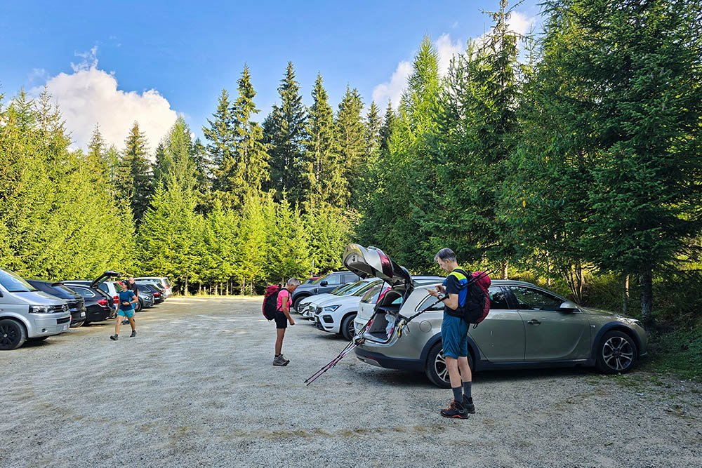
Parcheggio della Valle d'Altafossa
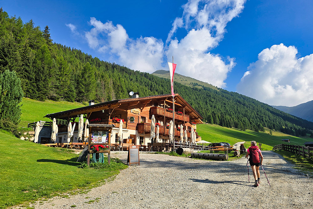
Großberghütte
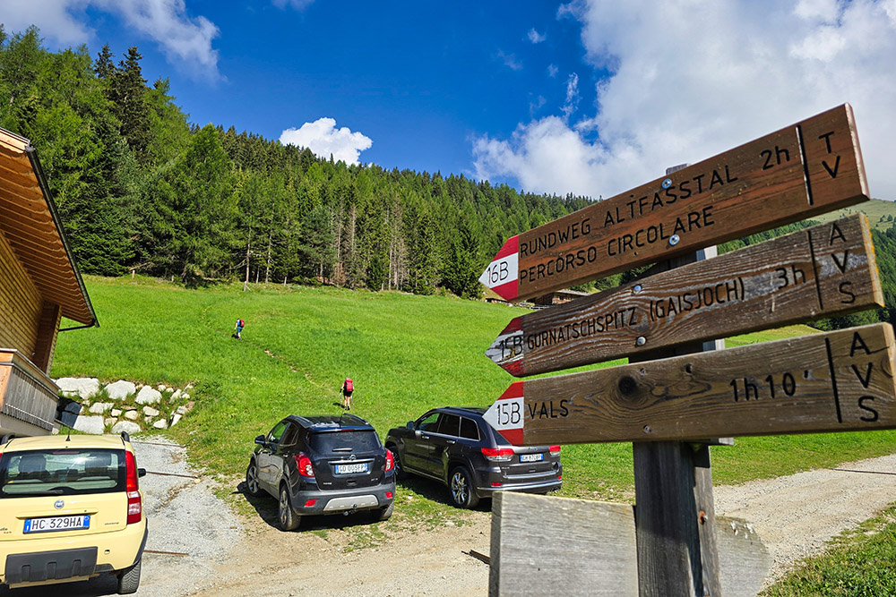
Prendiamo il sentiero 15B
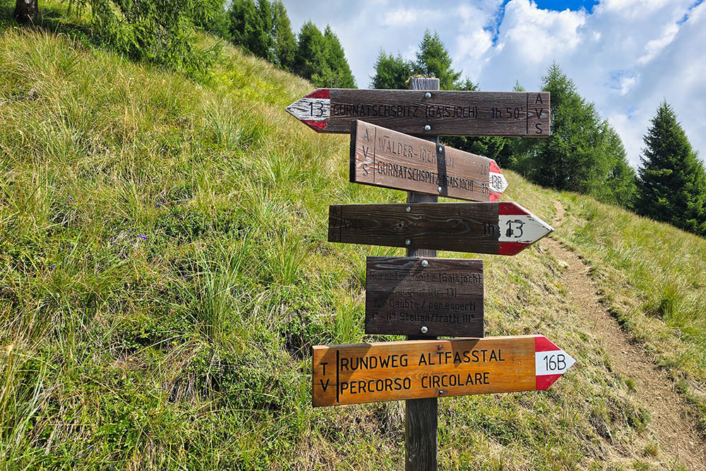
Segnaletica che segnala la difficoltà
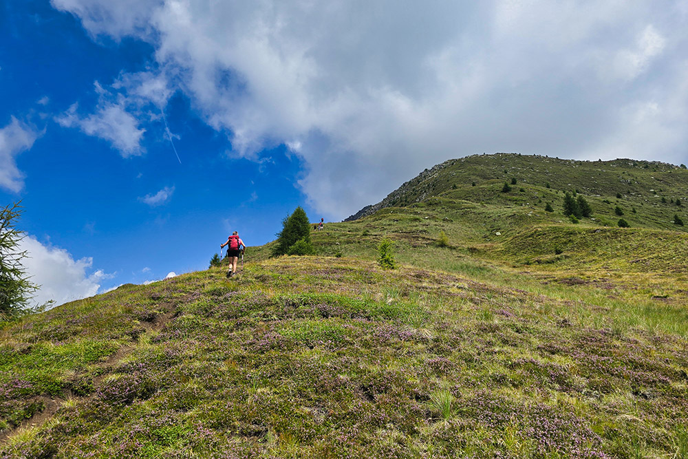
Si sale su prati molto ripidi
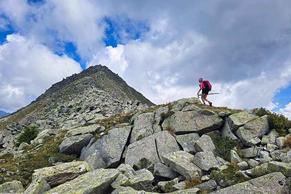
Inizia la parte con pietre
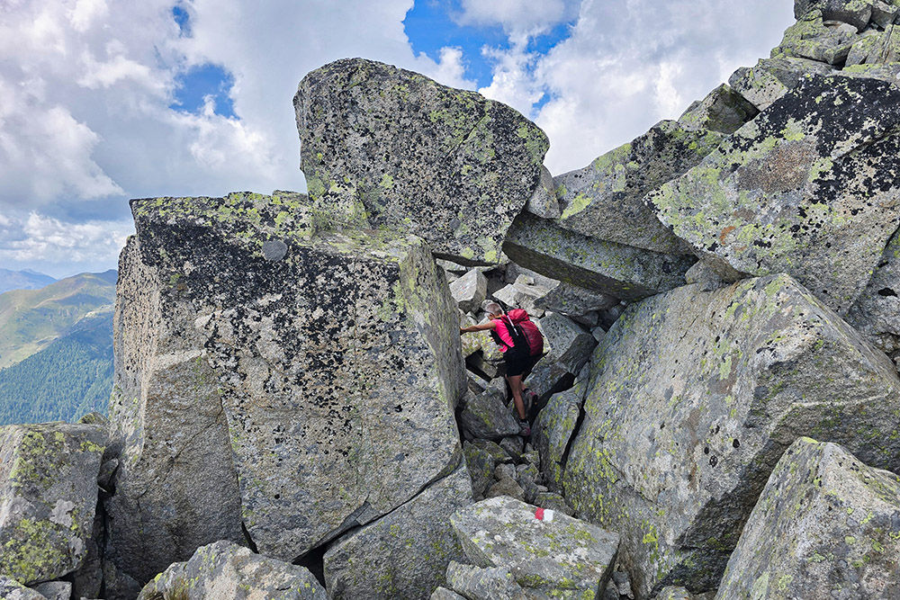
Aumenta la difficoltà
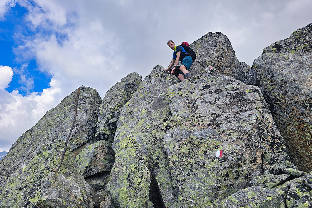
Primo passaggio difficoltà di 3° grado
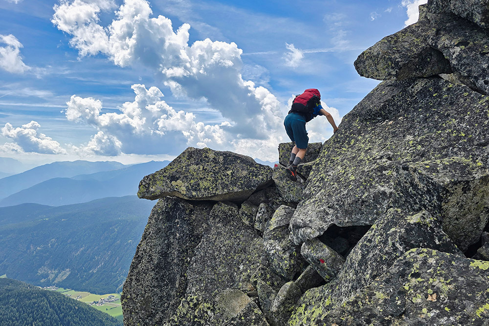
Si cantinua a salire tra i massi
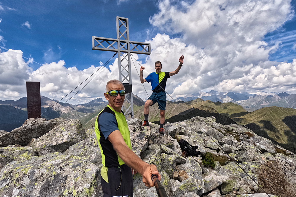
In vetta al Gaisjoch - Cima della Capra
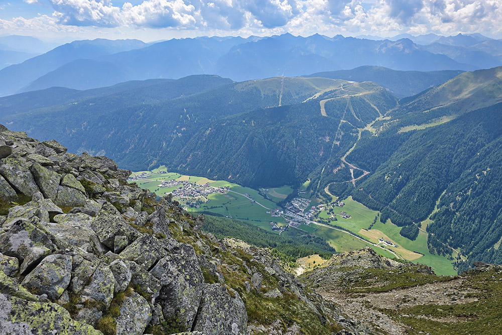
Panorama verso Valles
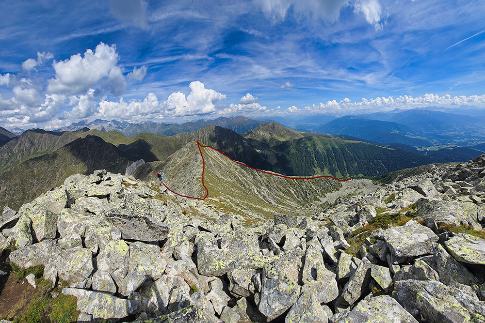
Vista sulla cresta del ritorno
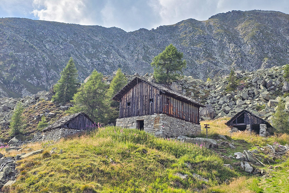
Malga Walderjochalm
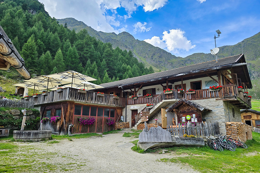
Rifugio Wieser
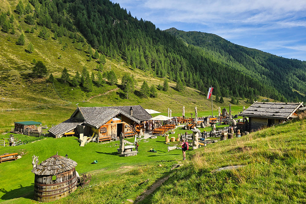
Rifugio Pranterstadl