






Durata
 5:35 h
Distanza
 12 km
12 km Ascesa
 1009 m
Discesa
 1009 m
H Max
 2507 m
H Min
 1768 m
Piz da Peres and Lago Fojedora
DESCRIPTION
On the Piz da Peres, among rock, history, and Lago Fojedora.
Geographical location
Piz da Peres is a 2507-metre peak in the northern part of the Fanes-Senes-Braies Dolomites, in South Tyrol. It dominates the town of San Vigilio di Marebbe in Val Badia and represents the westernmost outcrop of dolomite rock of the Braies Dolomites group. The name in Ladin literally means Peak of Stones, while the town below, San Vigilio, takes its name from the Bishop of Trento venerated as a martyr and saint. The San Vigilio basin is surrounded by other well-known peaks in the area, such as Plan de Corones and Paraccia.
Hike
This hike, usually not very crowded, leads to the panoramic mountain facing Plan de Corones, within the Fanes-Senes-Braies nature park. The itinerary is varied: it starts in the woods, climbs along a debris gully flanked by a via ferrata, continues on grassy slopes to the summit, and finally descends towards Lago Fojedora.
The real added value of the route is the panorama, which accompanies the hiker not only from the summit but for much of the way: the Sexten Dolomites, the Tofane, Monte Sella di Sennes, Sass de Putia, the Puez Group, Cima Dieci, Plan de Corones, the Marmolada, the Sella Group, part of the Puster Valley and much more.
The most challenging part of the entire itinerary is the ascent from the debris gully, which continues almost to the summit. Here you proceed over rocks and narrow passages, with short exposed sections secured by a metal cable and steep steps carved into the rock, where you need to use your hands. Therefore, a steady step and no fear of heights are required. In this section it is easy to get confused: be careful not to accidentally take the via ferrata that climbs to Piz da Peres, which is distinct from the hiking trail. It is also advisable to close your trekking poles and attach them to your backpack to keep your hands free.
History and curiosities
In the 1920s, the Austrian geologist Julius Pia discovered an unknown footprint at Lapadures (at an altitude of 1850 m), above Olang. After careful investigation, it was discovered that the fossil traces were attributable to the reptile Rhyncosauroides tirolicus, dating back to the Triassic period.
Descending from the summit you come across Lago Fojedora, also known as Lake of the High Hills: the Ladin name is Lé de Fojedöra, the German one Hochalpensee. It is located in the municipality of Marebbe.
ITINERARY
From Passo Furcia (1768 m) you ascend on trail 3 towards Piz da Peres, then branch right onto 12B. After about 45 minutes you reach Ücia Picio Prè (1950 m), a pleasant refreshment point. Continue to a crossroads marked by a cross, a panoramic point over the valley (2135 m): here turn left onto trail 12. At 2276 m the trail forks: be careful, because a via ferrata starts on the right, while on the left you continue on trail 12 to the summit of Piz da Peres (2507 m). Always following trail 12, you descend to Forcella Tre Dita (2330 m). Continue on trail 3 to Lago Fojedora (2252 m). From here you set off again following signpost 6 and then 32, reaching Capanna dei Cacciatori (1893 m). The return to Passo Furcia is made following signposts 3B, 3A and 3.
EXCURSION DATE
July 25, 2026
STARTING POINT
Passo Furcia
REFRESHMENT POINT
Ücia Picio Prè
AUTHOR'S SUGGESTIONS
If you want to make the hike more interesting, bring the equipment for the via ferrata.
SAFETY ADVICE
The practicability of the proposed itinerary, like all mountain terrain, is subject to environmental changes due to natural events and weather conditions. Therefore, before setting out, consult the competent tourist offices and/or the reference mountain huts.
Our GPX tracks are indicative only, meaning the route was done in the best way given the trail and weather conditions of that day. Therefore, always assess what to do on site.
Also remember to evaluate the route according to your physical abilities, training, and the equipment you have.
It is advisable to let someone know the itinerary you intend to follow.
Remember that the emergency number is 112.
EQUIPMENT
It is recommended to have equipment suitable for the route, weather conditions and season: windproof and/or waterproof jacket, map and/or GPS device, sunglasses, sunscreen, hiking boots, first aid kit, specific clothing, gloves, backpack with food and drinks.
RECOMMENDED MAPS
Tabacco 030 Brixen – Villnössertal / Bressanone - Val di Funes
INTERESTING LINKS
https://www.olang.com/it/pianificare-prenotare/mobilita-locale/passo-furcia
HOW TO ARRIVE
A22 exit Bressanone. Take the SS49 Pusteria road then take the SS244 to Val Badia. In San Vigilio di Marebbe turn left and follow the signs for Passo Furcia for 8 km.
PARKING AREA
At Passo Furcia
GPS Coordinates: 46.723677, 11.970554
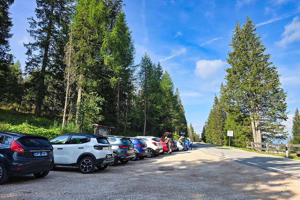
Parcheggio al Passo Furcia
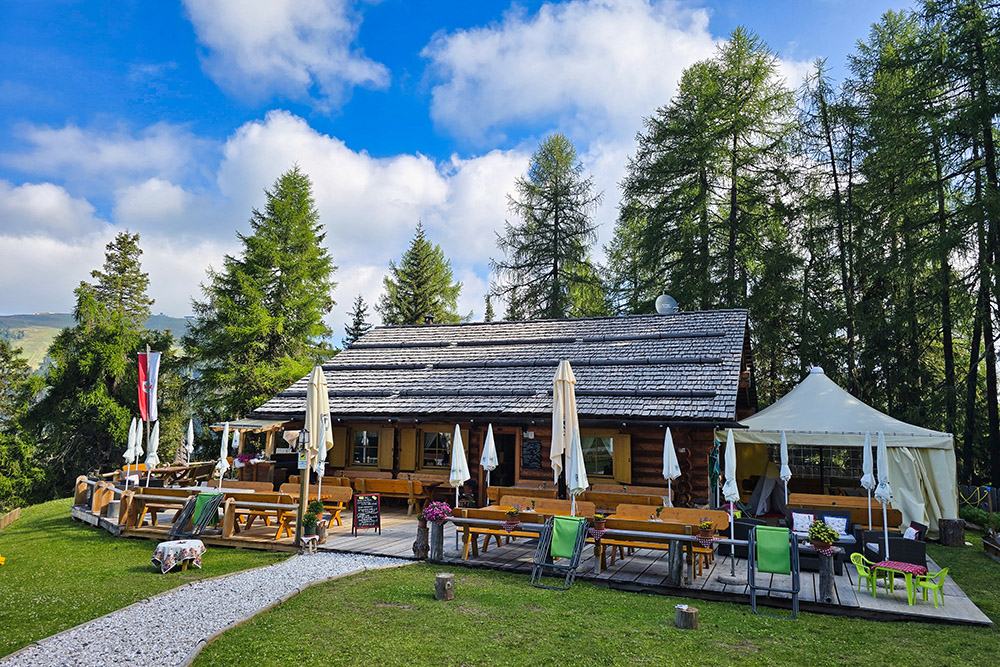
La Ücia Picio Prè
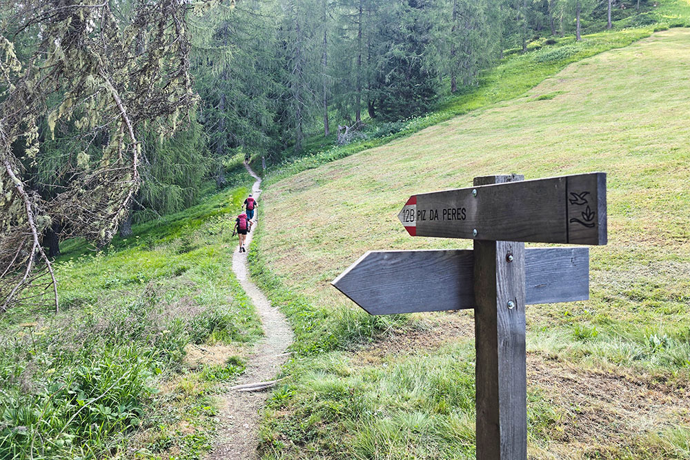
Proseguiamo sul 12B
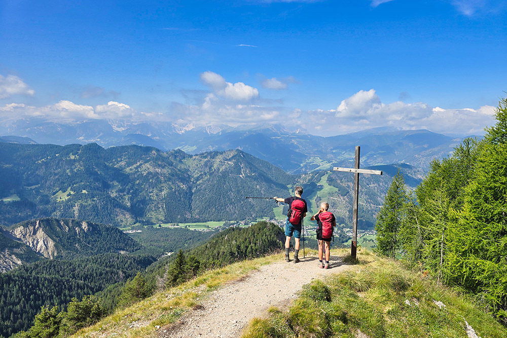
Punto panoramico
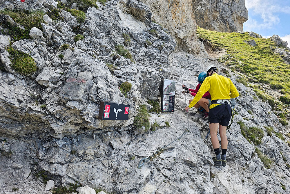
Bivio sentiero e Via Ferrata
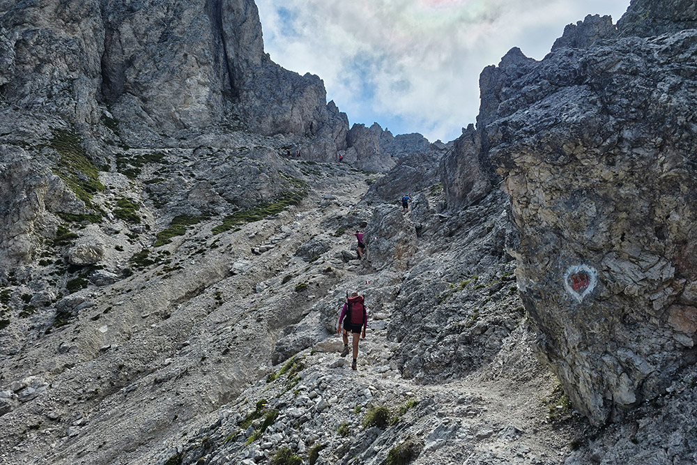
Si sale tra le roccette
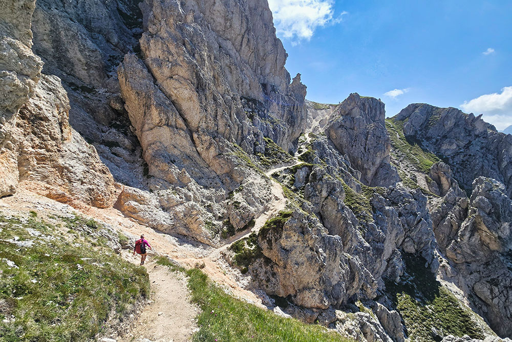
Si sale tra le roccette
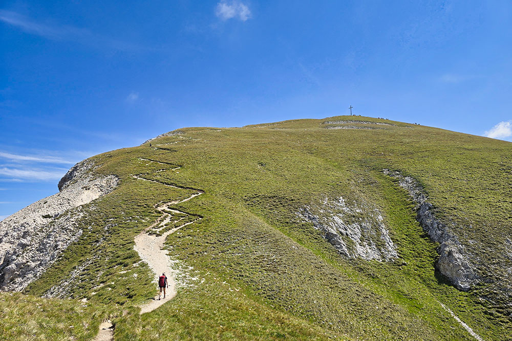
Siamo quasi in vetta
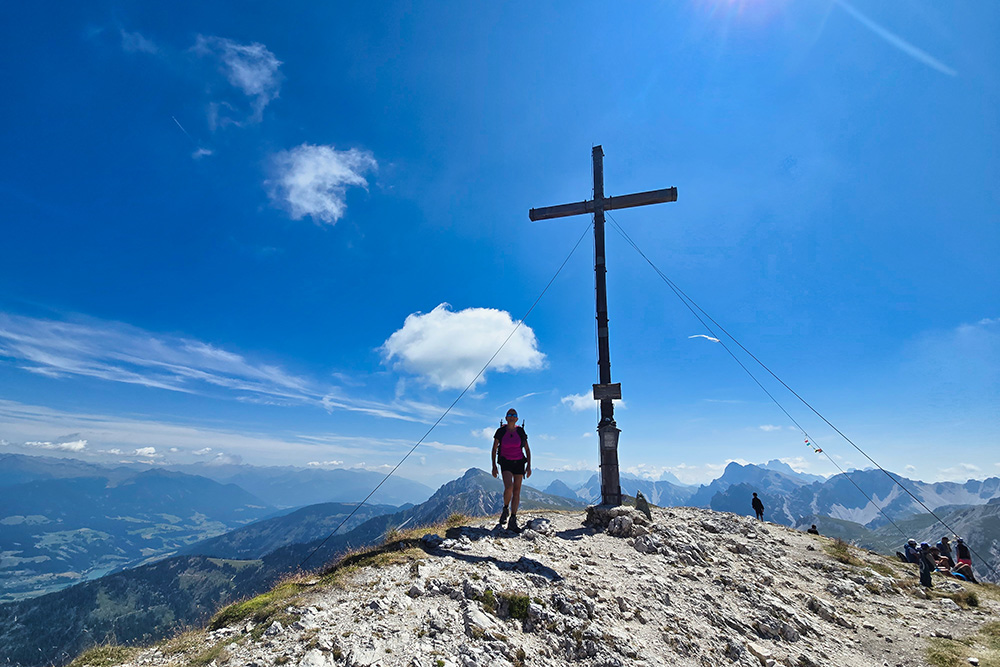
Arrivati sul Piz da Peres
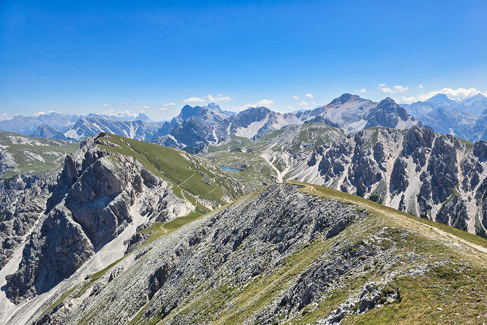
Vista verso le Dolomiti di Braies e Sesto
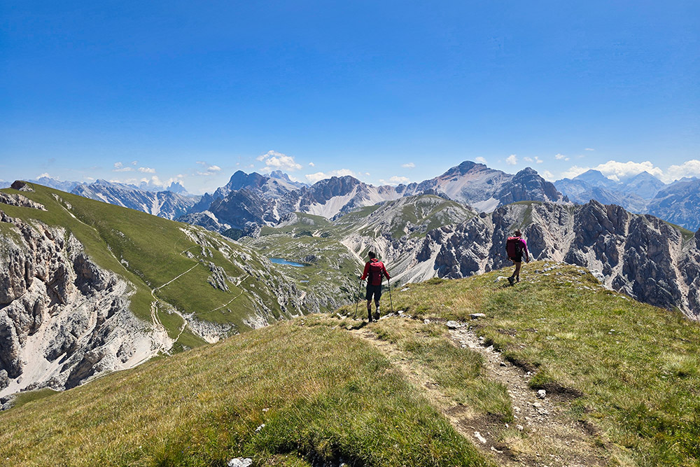
Si scende alla Forcella Tre Dita
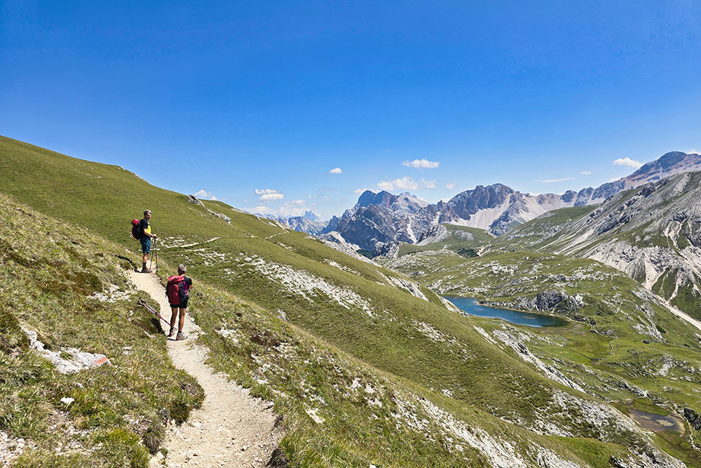
Siamo in prossimità del Lago Fojedora
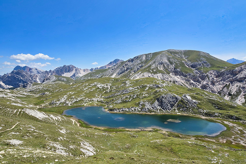
Il Lago Fojedora
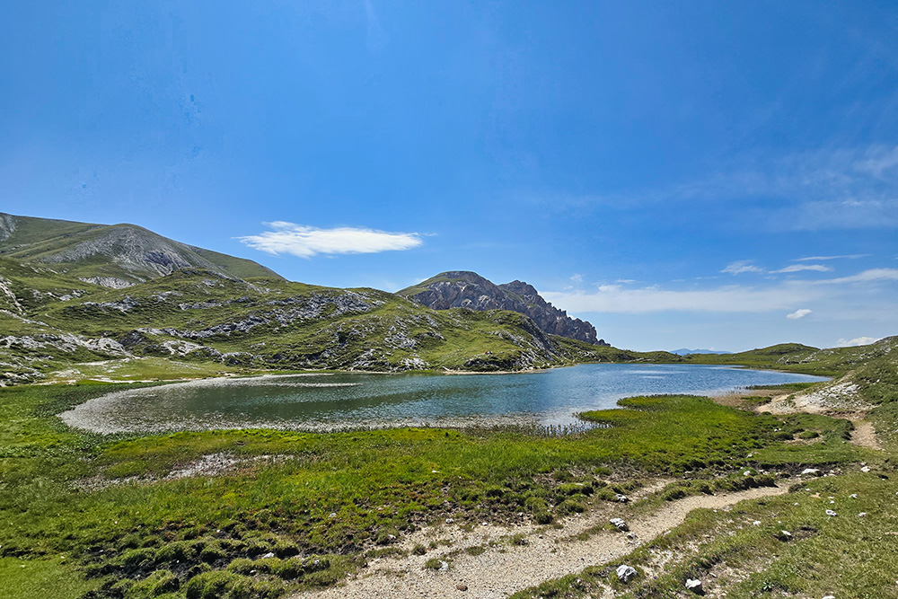
Il Lago Fojedora
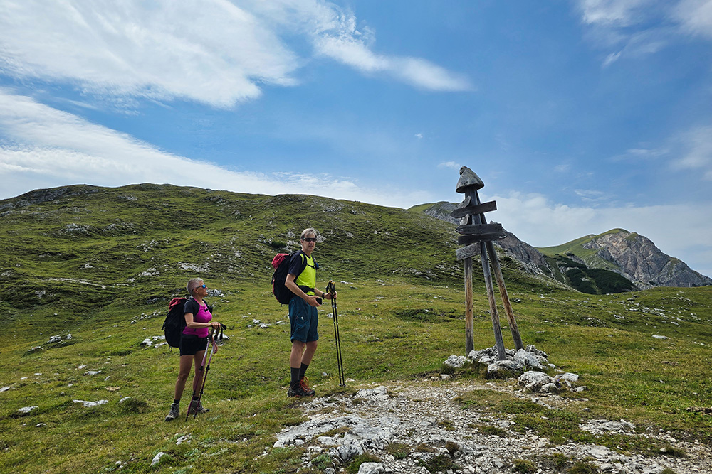
Si ritorna al punto di partenza