






Durata
 6:35 h
Distanza
 13,2 km
 Ascesa
 1320 m
Discesa
 1320 m
H Max
 3370 m
H Min
 2061 m
Monte Confinale
DESCRIPTION
On the Confinale, among the most panoramic three-thousand-metre peaks of Alta Valtellina.
Geographical location
Monte Confinale (3370 m) is a mountain of the Ortles-Cevedale group, in the Southern Rhaetian Alps. It is located in Lombardy, in the province of Sondrio, within the Stelvio National Park, and separates Val Zebrù from Valle del Forno, near Santa Caterina Valfurva.
Hike
Among the hikes in Alta Valtellina, the one to Monte Confinale is a true classic. Located in a small subgroup surrounded by the major peaks of the Ortles-Cevedale, the Confinale offers a privileged viewpoint over the Bernina, Ortles, Gran Zebrù, Cevedale, Forni Glacier, Adamello, and many other summits. Seen from the west, the Confinale rises as a sharp, unmistakable rocky pyramid above Valfurva. Despite exceeding three thousand metres, it presents no particular technical difficulties: fit hikers can reach it while always staying on the trail, with an elevation gain of about 1300 metres and approximately 6:30 hours of walking. The situation changes radically when there is snow on the paths: in that case, high-altitude equipment and preparation are required, and the difficulty rating goes from E to EE.
History and curiosities
The Confinale has a particular role in the history of alpine exploration of the Ortles-Cevedale group. It was here that the English mountaineer and explorer Francis Fox Tuckett, one of the most active members of the British Alpine Club and protagonist of numerous first ascents in the Alps between 1856 and the following years, climbed to closely study the topography of the area. His sketches allowed him to identify the possibility of ascending to the summit of Gran Zebrù via its western shoulder. It is no surprise that the Confinale is still considered one of the best natural viewpoints over the entire group. The mountain also gives its name to the Giro del Confinale, a multi-day loop trek (customizable from 2 to 4 stages) that connects Val Zebrù, Val Cedec, and Valle dei Forni, touching historic mountain huts such as the Quinto Alpini hut and the Forni hut. For those who love multi-day treks, it is an unmissable experience, made even more evocative by the wildlife of the Stelvio Park: it is not uncommon to spot ibex, chamois, marmots and, with a bit of luck, the golden eagle.
ITINERARY
From the Rifugio Stella Alpina mountain hut (2061 m) follow trail marker no. 572. The first section, up to the Pradaccio Manzina area (2300 m), is on a very steep dirt road. Continue, now on the 575, up to Lago della Manzina (2790 m) and, always following the 575, you first reach the Bivacco Giampaolo Del Piero (3166 m) and then the summit of Monte Confinale (3370 m). The return is along the same itinerary.
EXCURSION DATE
August 10, 2026
STARTING POINT
Rifugio Stella Alpina mountain hut
REFRESHMENT POINT
None
AUTHOR’S SUGGESTIONS
To make the hike even more interesting, we recommend staying overnight at the Bivacco Giampaolo Del Piero.
SAFETY ADVICE
The feasibility of the proposed itinerary, like all mountain terrain, is subject to environmental changes due to natural events and weather conditions. Therefore, before setting out, consult the relevant tourist offices and/or the reference mountain huts. Our GPX tracks are for guidance only, as the route was completed under the best conditions of the trails and weather on that particular day. Always assess what to do on-site. Also, remember to evaluate the route based on your physical abilities, training, and the equipment you have. It is advisable to let someone know the itinerary you intend to follow. Remember that the emergency number is 112.
EQUIPMENT
It is recommended to have equipment suitable for the route, weather conditions, and season: windproof and/or waterproof jacket, map and/or GPS device, sunglasses, sunscreen, hiking boots, first aid kit, specific clothing, gloves, backpack with food and drinks.
RECOMMENDED MAPS
Tabacco 08 Ortles - Cevedale
INTERESTING LINKS
https://www.facebook.com/RifugioStellaAlpina/
HOW TO ARRIVE
From Bormio take the SP29 to Santa Caterina Valfurva. In the village, turn left onto Via Forni and drive up to the car park near the Rifugio Stella Alpina mountain hut.
PARKING AREA
Near the Rifugio Stella Alpina mountain hut
GPS Coordinates: 46.418523, 10.545447
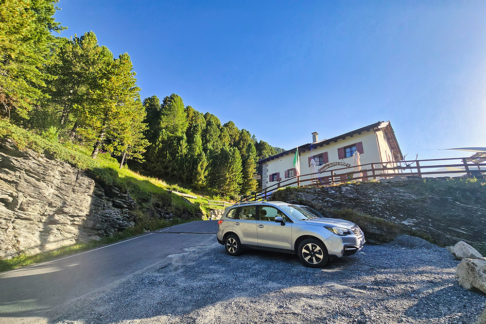
Parcheggio nei pressi del Rifugio Stella Alpina
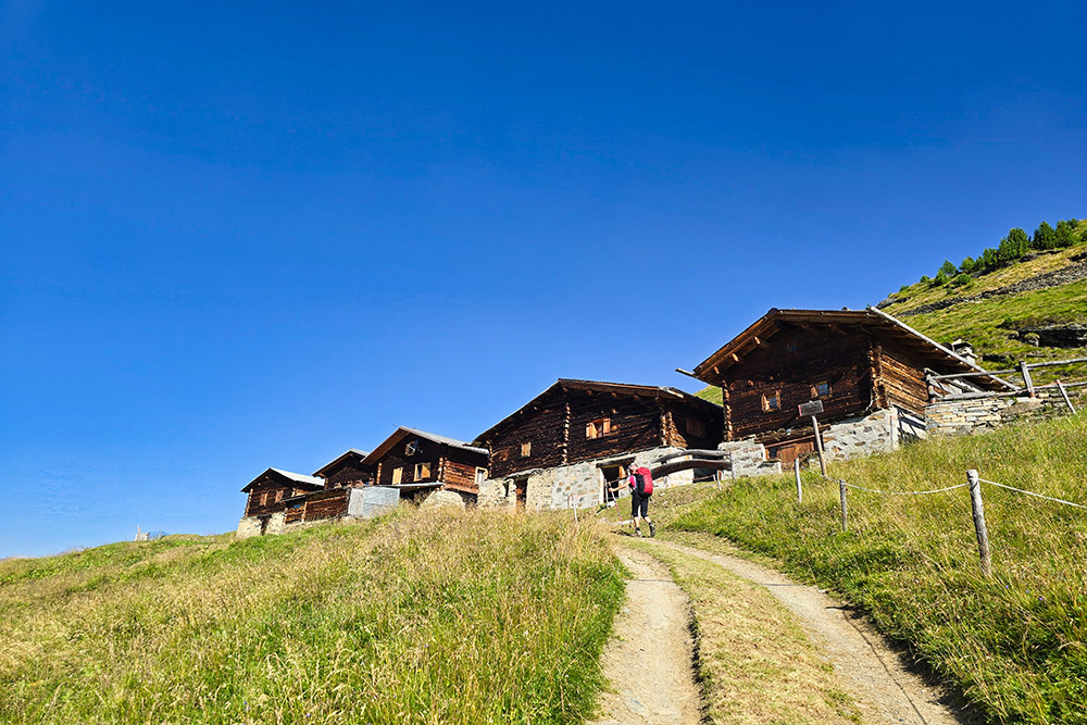
Pradaccio di Sopra
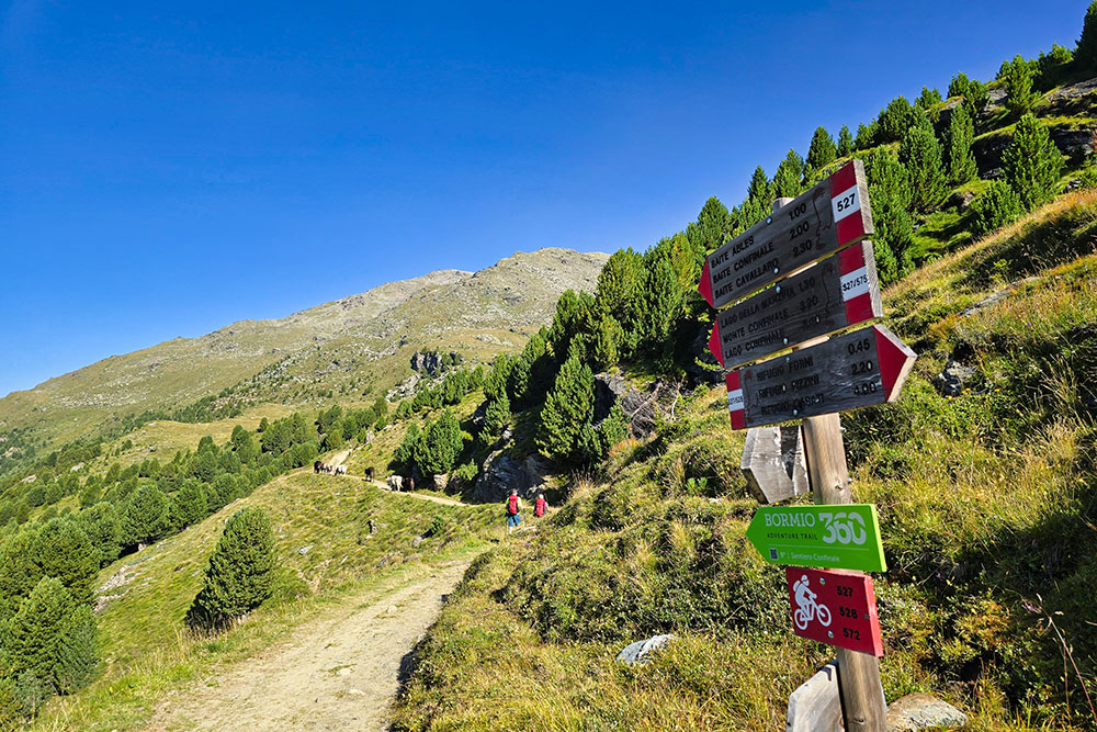
Si prende il segnavia 575
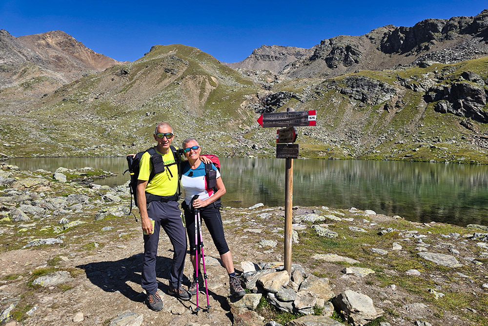
Arrivati al Lago della Manzina
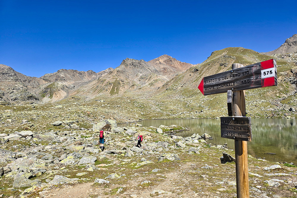
Si riparte
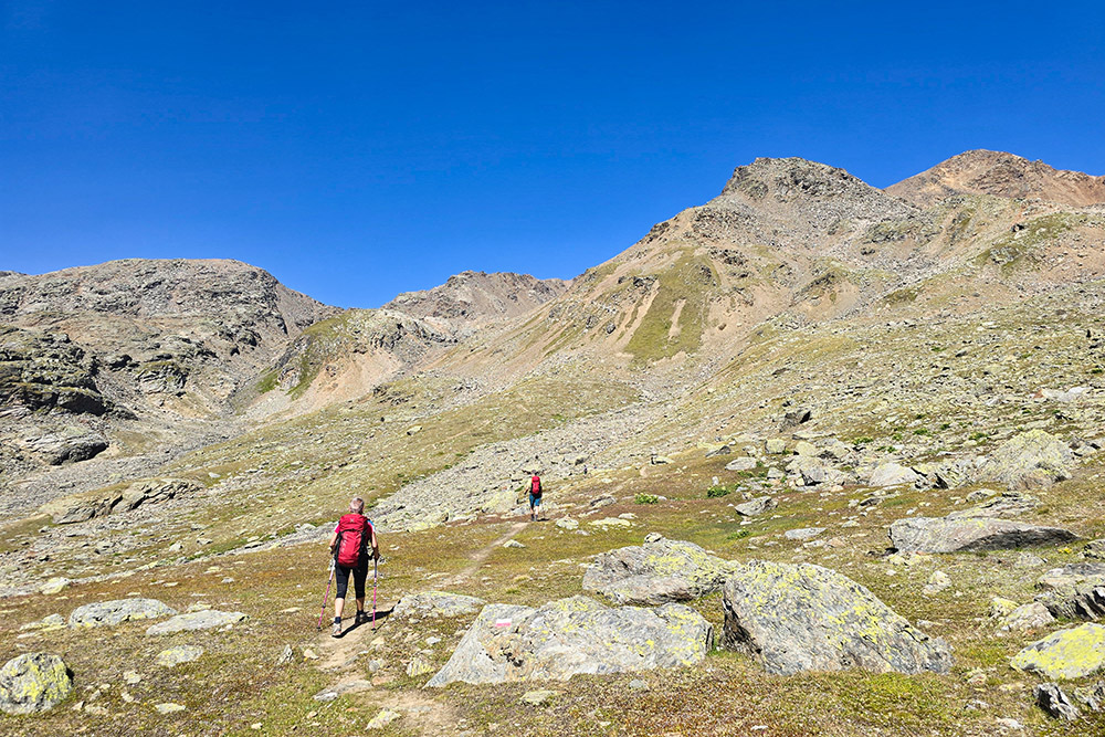
Un tratto quasi pianeggiante
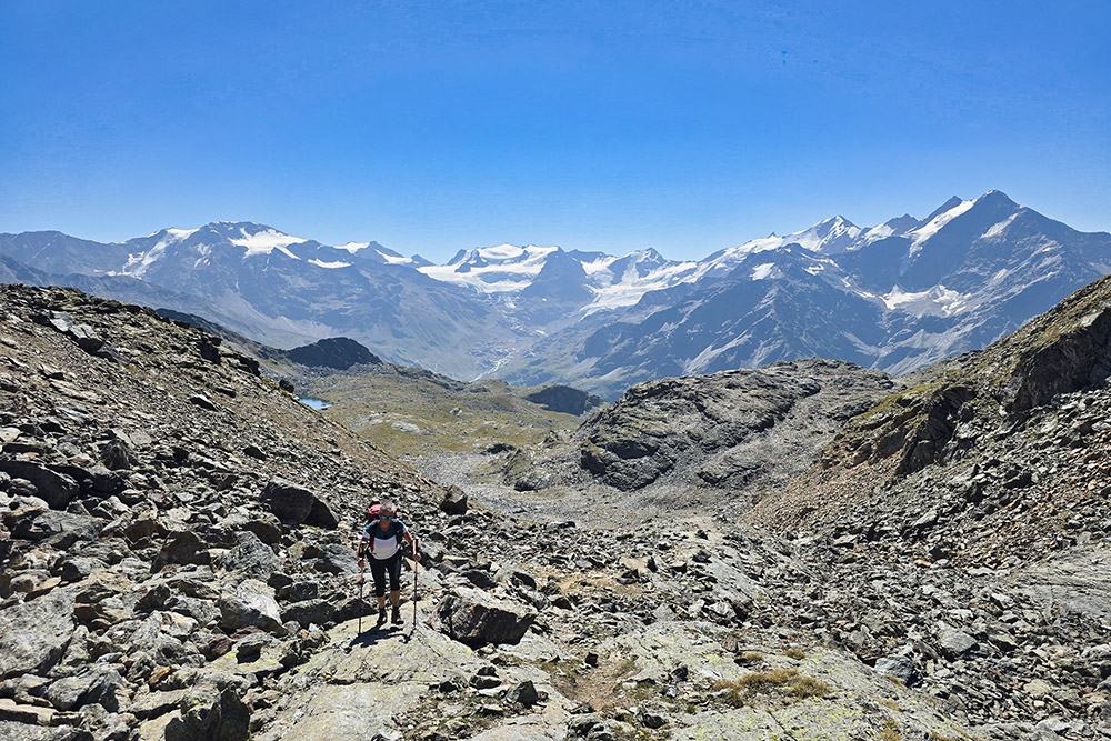
Saliamo con un favoloso panorama alle spalle

Tratto pietroso
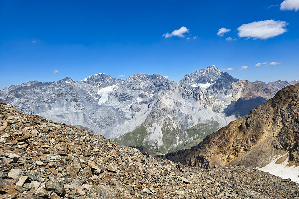
Vista verso Ortles, Zebrù e Gran Zebrù
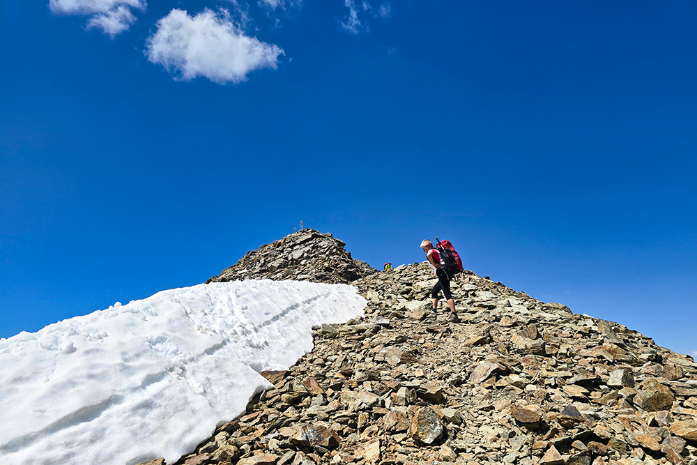
Siamo quasi in vetta
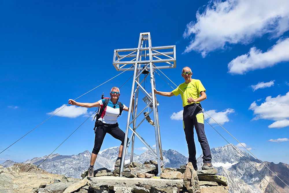
Croce di vetta del Monte Confinale
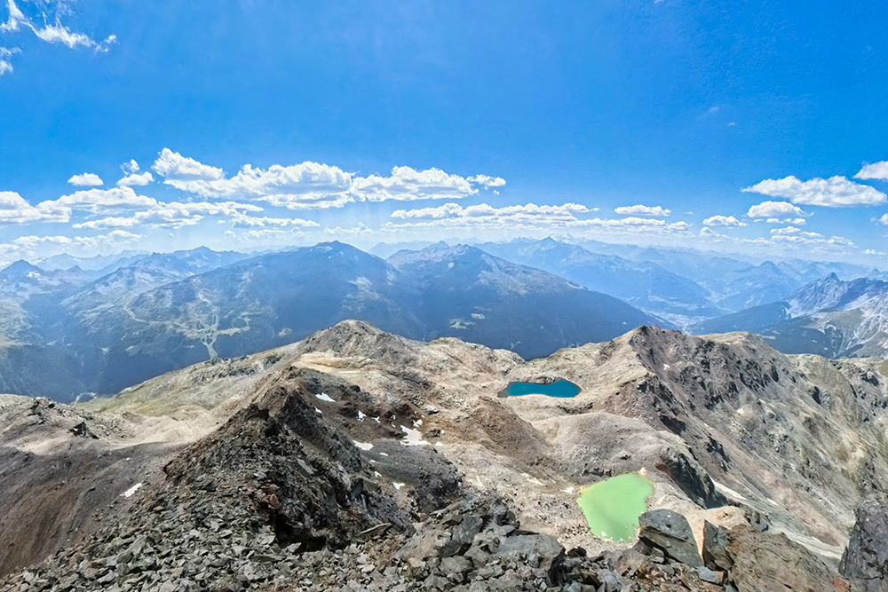
Vista verso i laghi del Confinale
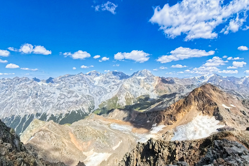
Vista verso il gruppo dell'Ortles
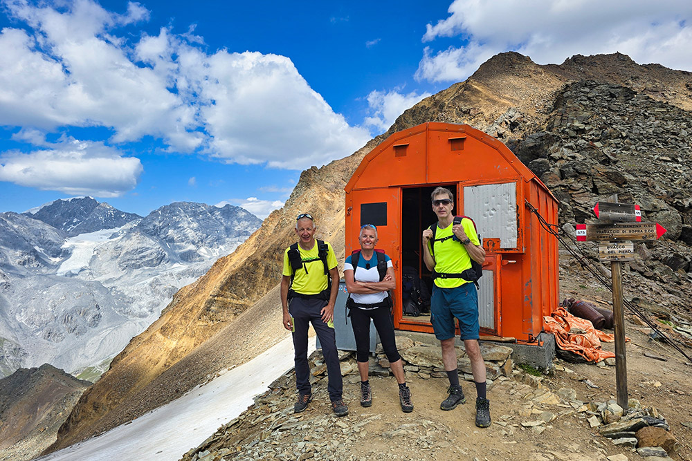
Bivacco Del Piero
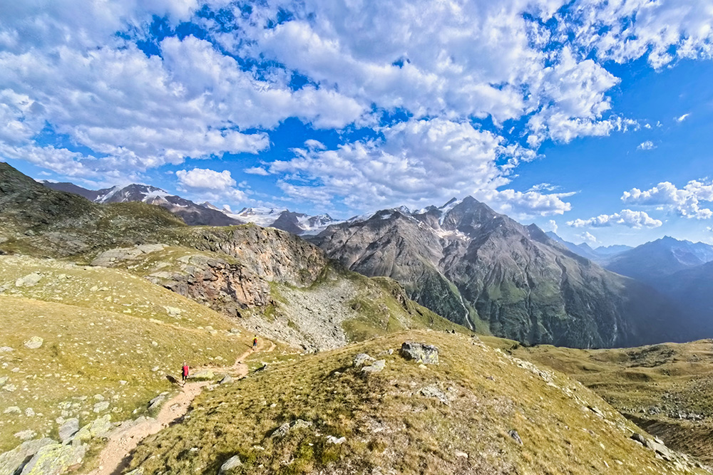
Si ritorna a valle