






Durata
 6:25 h
Distanza
 40,4 km
 Ascesa
 1706 m
Discesa
 1706 m
H Max
 2787 m
H Min
 1230 m
Monte Sella di Sennes
DESCRIPTION
Muntejela de Sennes: cycling among mountain huts, climbing through the Dolomites.
Geographical location
Monte Sella di Sennes (2787 m), known in Ladin as Muntejela de Sennes, rises in the heart of the Fanes-Senes-Braies Natural Park, in the province of Bolzano. The park, one of the largest in South Tyrol with approximately 25,680 hectares, includes the municipalities of Badia, Braies, Dobbiaco, La Valle, Marebbe and Valdaora, and is part of the UNESCO Dolomites site. The summit lies in the Braies Dolomites group, northwest of the Rifugio Sennes, in a dominant position over the plateau of the same name.
Hike
The Alpe di Sennes is a grassy plateau with gentle undulations, one of the most unusual environments in the entire Fanes-Senes-Braies Natural Park. A dense network of trails and dirt roads crosses the area, but park regulations prohibit off-road vehicles and motorcycles: a choice that protects the integrity of the place, at the cost of lengthening access to the peaks, which must start from the edges of the protected area.
To shorten the time, the approach can be done by mountain bike. The hike is thus divided into two parts: the MTB stretch from San Vigilio di Marebbe to the Rifugio Munt de Sennes, and the ascent on foot from there to the summit. From San Vigilio, the cycle-pedestrian path climbs the valley for about 10 km to the Rifugio Pederù, without difficulty. Beyond the Pederù, the gradient increases, but the surface remains unpaved and remains S0 difficulty.
From the Rifugio Munt de Sennes, the trail continues among grassy ridges and high-altitude meadows, up to the most characteristic stretch of the ascent: a scree slope on the right side of the peak, crossed with an oblique traverse. It is a short passage, ideal for a panoramic stop over the wide Sennes plateau, which opens at your feet like a mosaic of meadows, hollows and ridges.
From the summit, the view extends over Croda del Becco, Croda Rossa d'Ampezzo, the Cristallo Group, Sorapìss, the Tofane, Cima 10, Cima 11, Sass de Putia and, in the distance, the Tre Cime di Lavaredo.
The best period is from June to October, with possible residual snowfields in the early part of summer.
History and curiosities
The Rifugio Fodara Vedla was born as a barracks for the officers of an Austro-Hungarian camp from the Great War. In 1923 Hans Mutschlechner, then master baker in San Vigilio di Marebbe, took over the abandoned structure; a year later he made it habitable, and from then on the family spent summers there. From 1935, with the arrival of Dolomite tourism, the mountain hut was transformed into a lodging facility with guest rooms, also offering meals. It remained always open, except for an interruption during the Second World War, then resumed activity in 1947.
The Rifugio Sennes was built by the Palfrader Corjel family between 1937 and 1939 and inaugurated in the 1940s. Since then it has remained open both in summer and winter, and is still run by the same family. Over the years, the structure has undergone several upgrades: the aqueduct and electric generator in 1962, the access road for supplies in 1968, and an extension in 1985.
ITINERARY
From the Tamersc car park (1233 m) you start by bicycle and follow the cycle path to the Rifugio Pederù (1548 m). From here, on a dirt road, you climb successively to the Rifugio Fodara Vedla (1980 m), to the Rifugio Sennes (2126 m) and to the Rifugio Munt de Sennes (2176 m). After leaving the MTBs, you continue on foot, climbing up the Val de San Berto along trail number 27, to the summit of Monte Sella di Sennes (2787 m). The return is along the same trail down to the Rifugio Munt de Sennes. By MTB you can either return on the same road as the outward journey – the simplest option – or take some S3 difficulty trails.
EXCURSION DATE
August 17, 2025
STARTING POINT
Car park in the Tamersc area.
REFRESHMENT POINT
Rifugio Pederù, Rifugio Fodara Vedla, Rifugio Sennes and Rifugio Munt de Sennes
AUTHOR'S SUGGESTIONS
For those who are not familiar with mountain biking, we recommend returning along the same dirt road used for the outward journey.
SAFETY TIPS
The viability of the proposed itinerary, like all mountain terrain, is subject to environmental changes due to natural events and weather conditions. Therefore, before setting off, consult the relevant tourist offices and/or the reference mountain huts.
Our GPX tracks are only indicative, meaning the route was completed to the best of our ability given the trail and weather conditions of that day. Therefore, always assess the situation on site.
Also remember to evaluate the route based on your physical abilities, training and the equipment you have.
It is advisable to let someone know the itinerary you intend to follow.
Remember that the emergency number is 112.
EQUIPMENT
It is recommended to have equipment suitable for the route, weather conditions and season: helmet, windproof and/or waterproof jacket, map and/or GPS device, sunglasses, helmet and/or handlebar torch (an unexpected event can lengthen travel times), sunscreen, hiking boots, first aid kit, bike repair kit, specific clothing, whistle or signal bell, bike wheel reflectors, gloves, backpack with food and drinks.
RECOMMENDED MAPS
Tabacco 031 Pragser Dolomiten - Enneberg/Dolomiti di Braies - Marebbe
USEFUL LINKS
https://www.rifugiomuntdesennes.com/
HOW TO ARRIVE
A22 exit at Bressanone. Take the SS49 Pusteria Valley road to San Lorenzo di Sebato. Here turn right into Val Badia. Continue to San Vigilio di Marebbe.
PARKING AREA
At the Tamersc sports complex, a small locality about 1.5 km from the centre of San Vigilio di Marebbe.
GPS coordinates: 46.688833, 11.945336
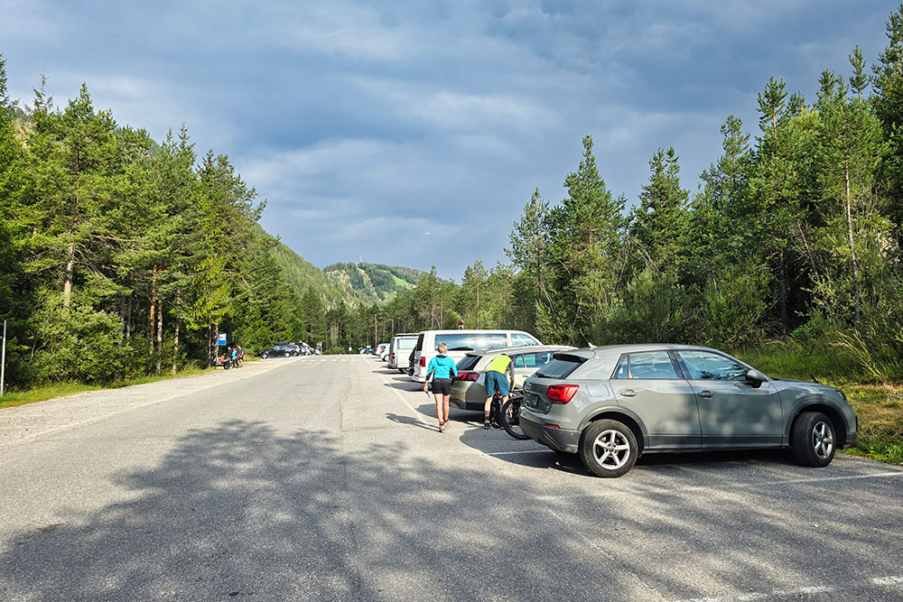
Parcheggio nei pressi del Owl Park San Vigilio
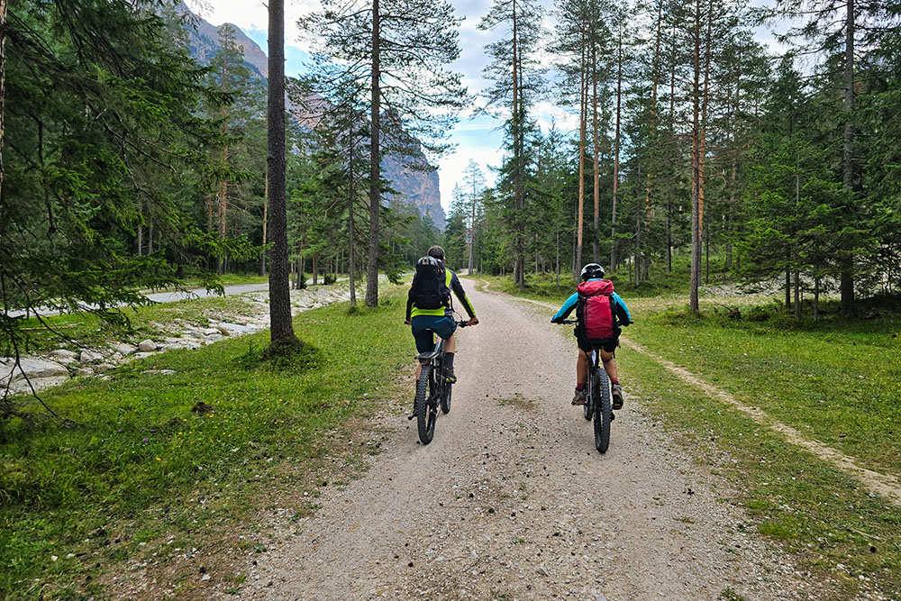
Ciclo pedonale della Val dai Tamersc
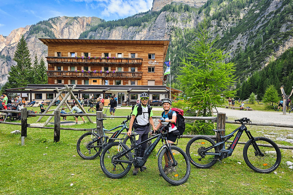
Arrivati al Rifugio Pederù
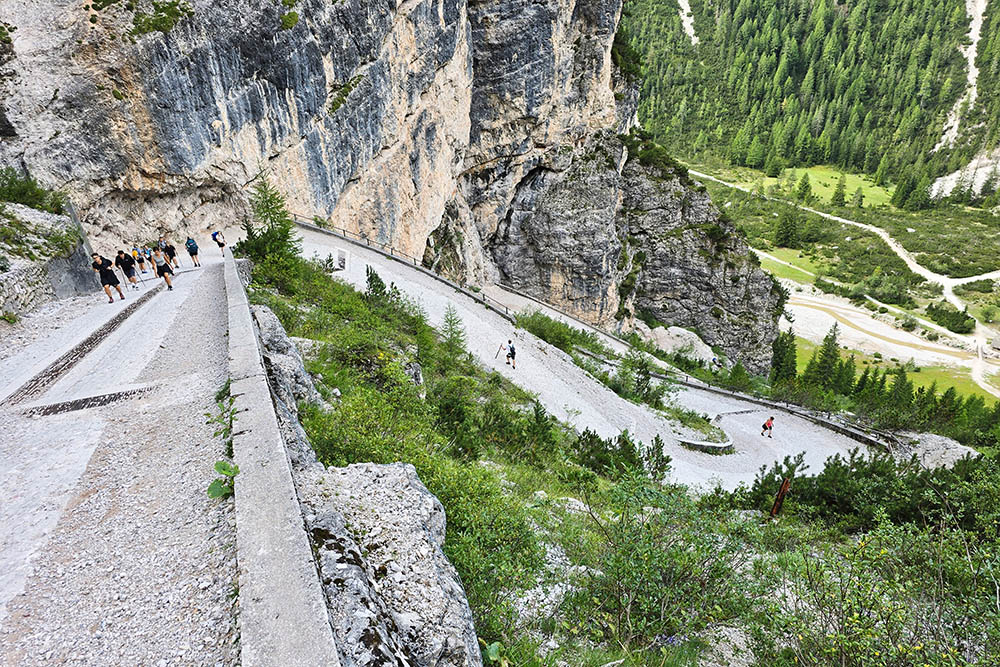
Salita molto impegnativa
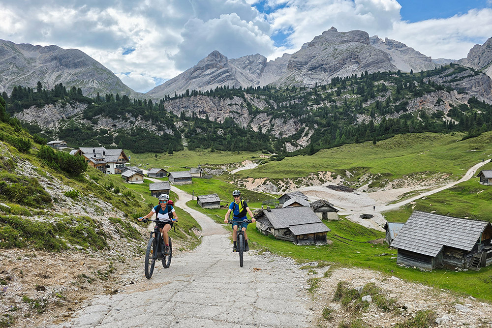
Abbiamo visitato il Rifugio Fodara Vedla
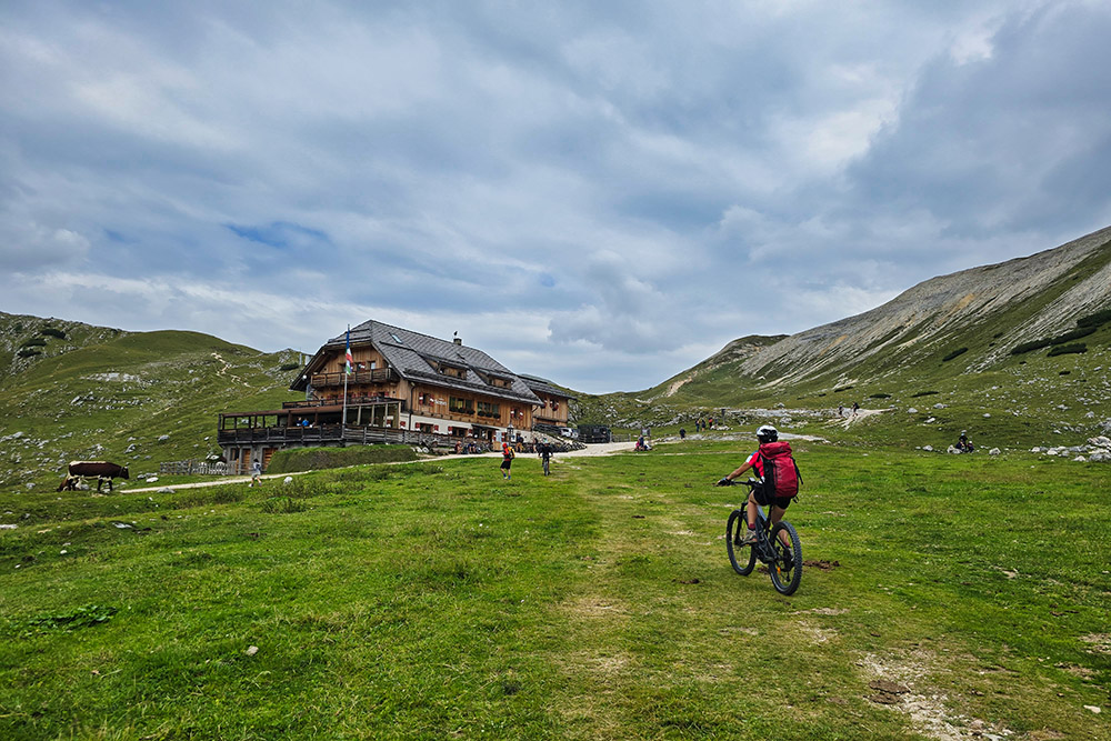
Siamo al Rifugio Sennes
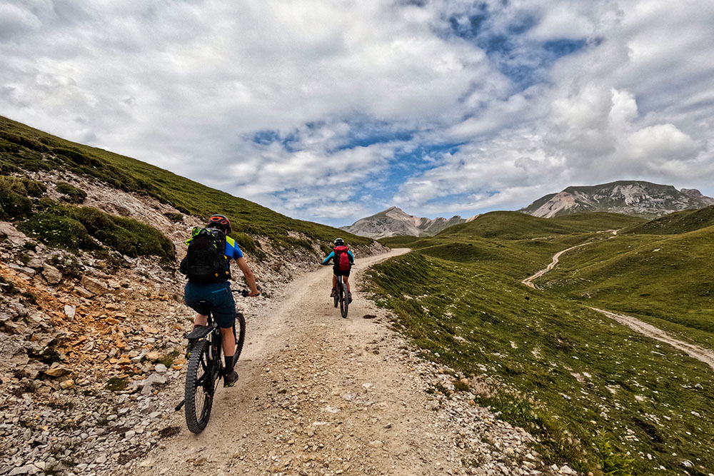
Si riparte
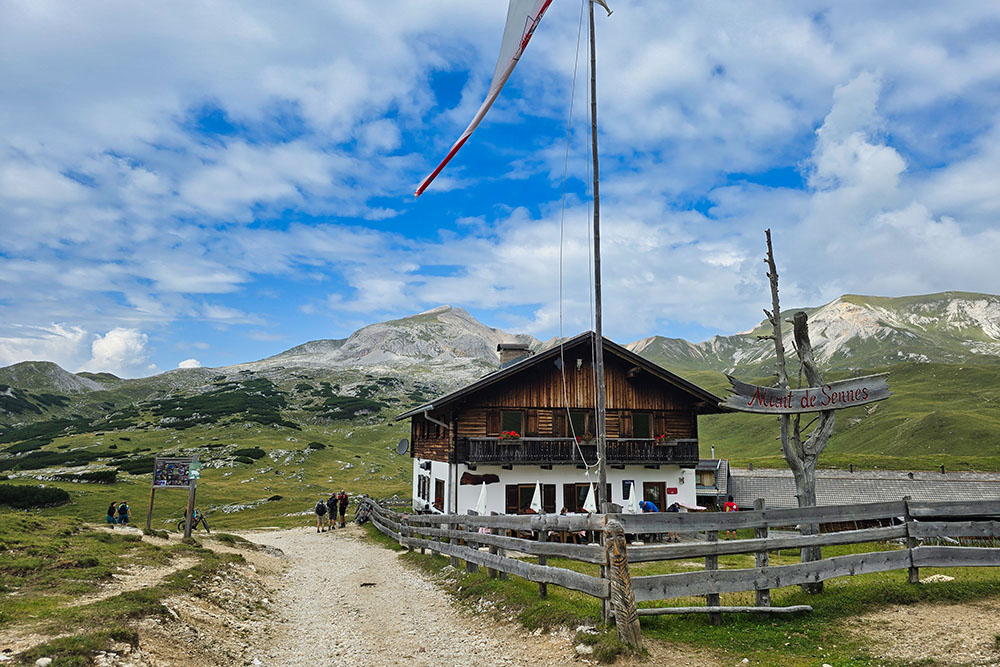
Il Rifugio Munt de Sennes
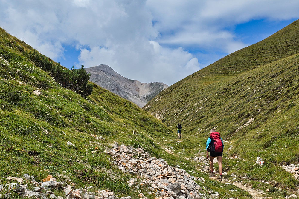
A piedi saliamo la Val de San Berto
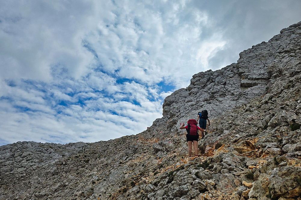
Siamo al tratto più impegnativo della salita
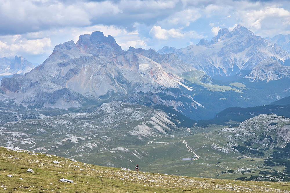
Ultimi sforzi
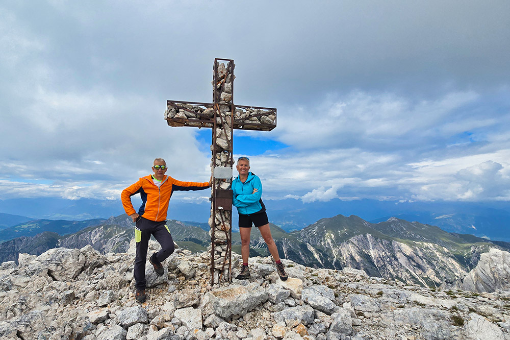
Arrivati in vetta al Monte Sella di Sennes
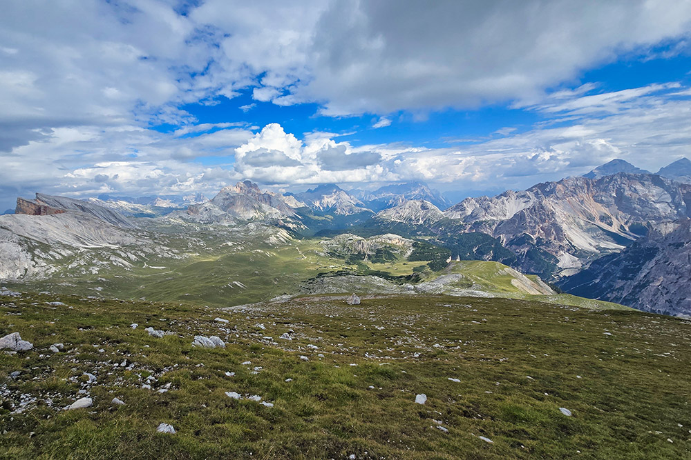
Fantastico panorama dalla vetta
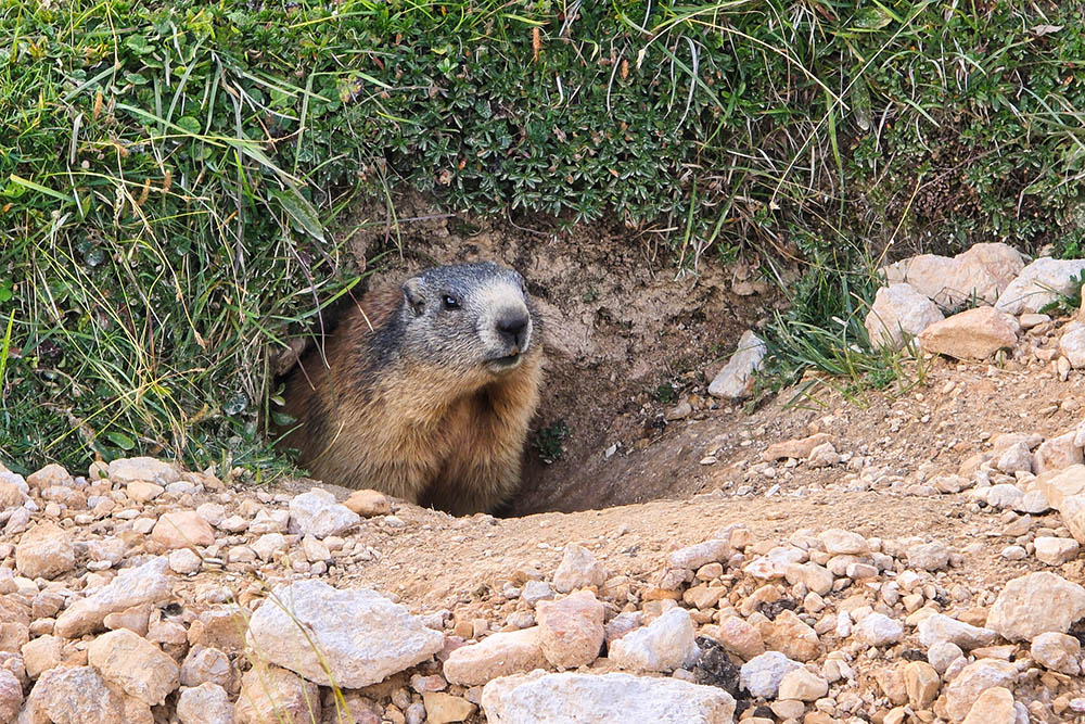
Simpatiche marmotte molto curiose
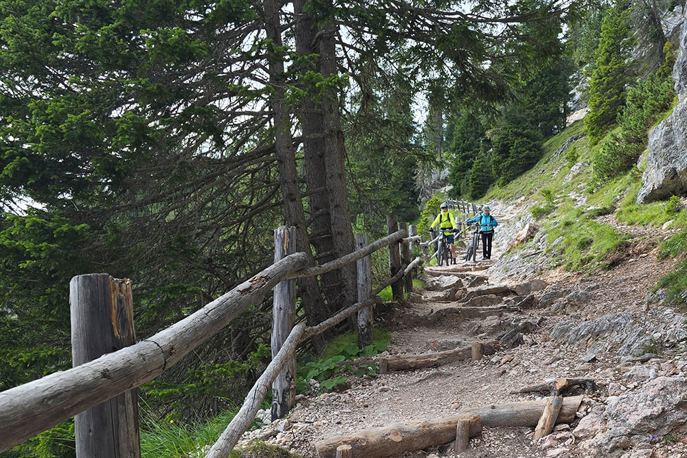
Tratto in discesa con difficolotà S3