






Durata
 4:50 h
Distanza
 12,1 km
 Ascesa
 810 m
810 mDiscesa
 810 m
810 mH Max
 2527 m
H Min
 1757 m
Lago Nero del Tumulo
DESCRIPTION
Val Passiria: the hike to Großer Schwarzsee, the lake that turns black.
Geographical location
Lago Nero di Tumulo is located in the upper Passeier Valley (Val Passiria) in South Tyrol, between the Timmelsjoch (Passo del Rombo) and Corvara in Passiria, just a few steps from the border with Austria. The starting point of the hike, the Ponte di Tumulo (Timmelsbrücke, 1757 m), is along the Timmelsjoch road in the municipality of Moso in Passiria.
Hike
The hike to Lago Nero di Tumulo - in German, Großer Timmler Schwarzsee - does not require great physical effort, but offers a high mountain setting of great charm. The trail crosses the valley of the Tumulo stream and leads to a true alpine jewel. During the ascent you will come across the Malga Tumulo (Timmelsalm), a welcoming mountain hut offering traditional Tyrolean dishes and desserts. Just above, some beautiful biotopes open up, where the stream forms picturesque bends.
The lake occupies a large glacial amphitheatre and its waters remain exceptionally clear in every season. In summer they reflect green-blue shades; on cloudy days, however, the rocky and dark lakebed gives the surface an almost black colour, from which the lake derives its name. Its waters are not suitable for swimming. From the shores you can enjoy a wide panorama of several peaks: the Schwarzwandspitze, the Hinterer Seelenkogel, the Botzer, the Schneeberger Weissen and the Timmelsspitz.
History and interesting facts
Lago Nero di Tumulo is about 250 metres long, 240 metres wide and reaches a depth of 30 metres, placing it among the largest and deepest alpine lakes in South Tyrol.
A local legend tells that once, in its waters, there lived a monster capable of swallowing entire cows and even threatening the shepherds watching over their livestock. According to the story, only by throwing some blessed objects into the lake was the creature tamed. Since then, peace has returned to the shores of Lago Nero di Tumulo.
ITINERARY
From the Ponte di Tumulo (1757 m) - Timmelsbrücke - take trail 30 and climb to Malga Tumulo (2000 m). From here, continue along trail 30, passing by the Biotopo Mösler (2227 m) and the Hirtenhütte hut, until reaching Lago Nero di Tumulo (2505 m). The return follows the same itinerary.
EXCURSION DATE
12 July 2026
STARTING POINT
Ponte di Tumulo (Timmelsbrücke)
REFRESHMENT POINT
Malga Tumulo (Timmelsalm)
AUTHOR'S SUGGESTIONS
Enjoy the good dishes at Malga Tumulo.
SAFETY ADVICE
The feasibility of the proposed itinerary, like all mountain terrain, is subject to environmental changes due to natural events and weather conditions. Therefore, before setting out, consult the relevant tourist offices and/or the reference mountain huts.
Our GPX tracks are only indicative, meaning the route was completed under the best conditions of trail and weather on that particular day. Always assess the situation on site accordingly.
Also remember to evaluate the route based on your physical abilities, training and the equipment you have available.
It is advisable to inform someone of the itinerary you intend to follow.
Remember that the emergency number is 112.
EQUIPMENT
It is recommended to have equipment suitable for the route, weather conditions and season: windproof and/or waterproof jacket, map and/or GPS device, sunglasses, sunscreen, hiking boots, first aid kit, specific clothing, gloves, backpack with food and drinks.
RECOMMENDED MAPS
Tabacco 039 Val Passiria / Passeiertal
INTERESTING LINKS
https://www.merano-suedtirol.it/it/val-passiria.html
HOW TO ARRIVE
From Merano, take the SS44 and follow it to San Leonardo in Passiria. Here, leave the SS44 and turn left towards Moso and Passo Rombo. After about 20 km you will reach Ponte di Tumulo.
PARKING AREA
At Ponte di Tumulo on the road to Passo Rombo.
GPS coordinates: 46.895898, 11.129126
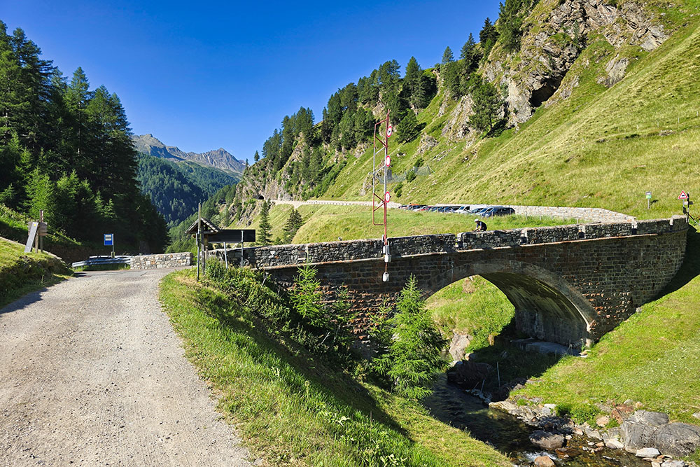
Parcheggio al Ponte Tumolo
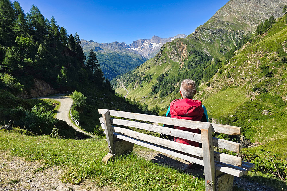
Momento di riposo
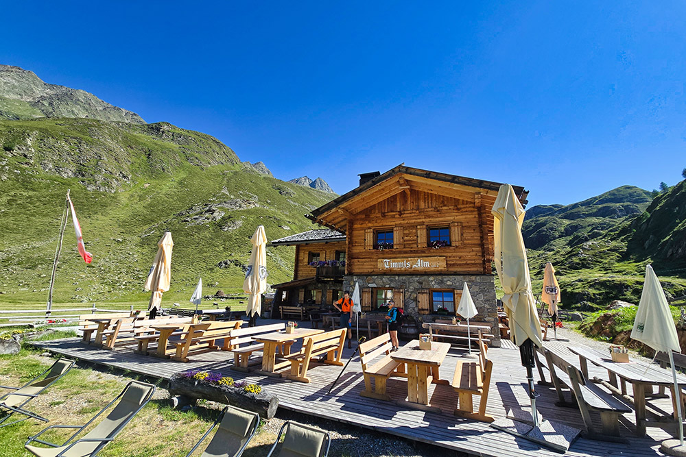
Arrivati alla Malga Tumolo
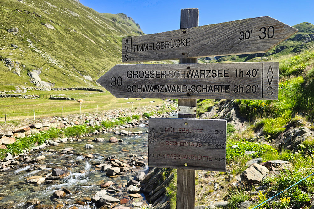
Si inizia a salire per il Lago Nero di Tumolo
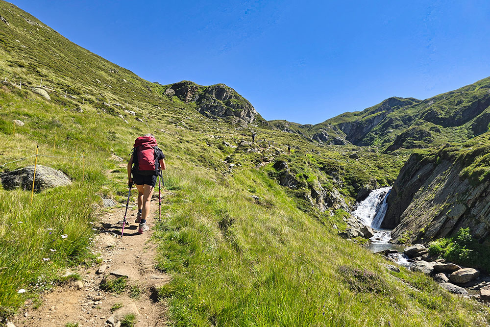
Si sale a fianco del torrente Tumolo
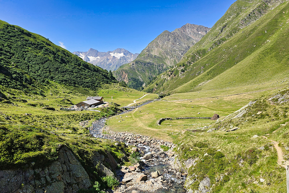
Vista verso la Malga Tumolo
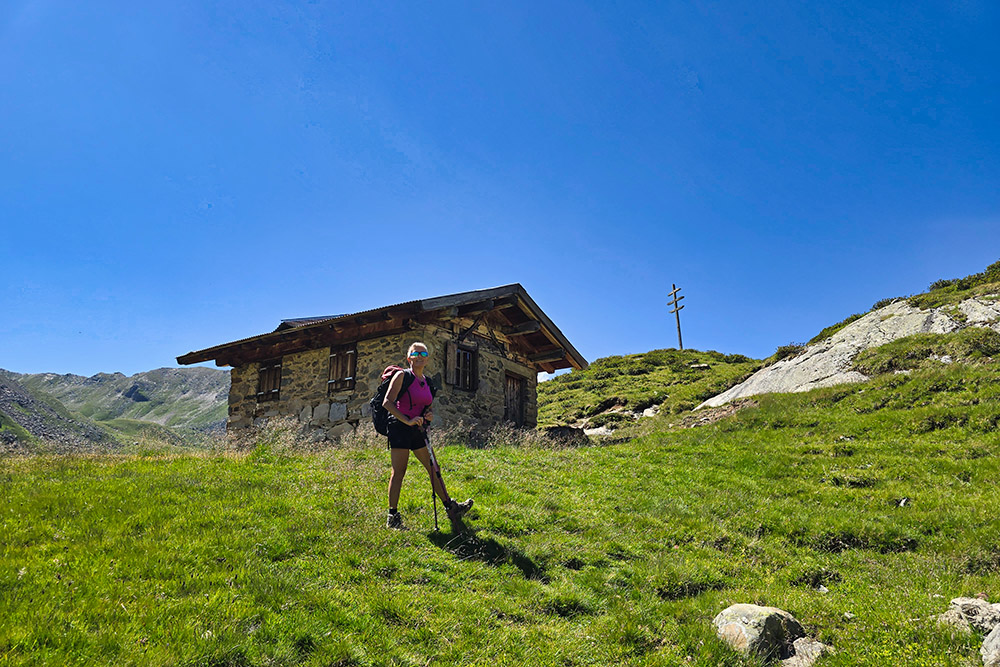
Baita presso il Biotopo Mösler
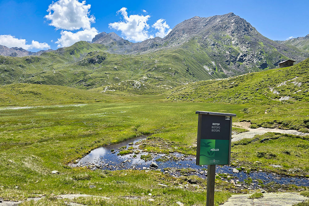
Il Biotopo Mösler
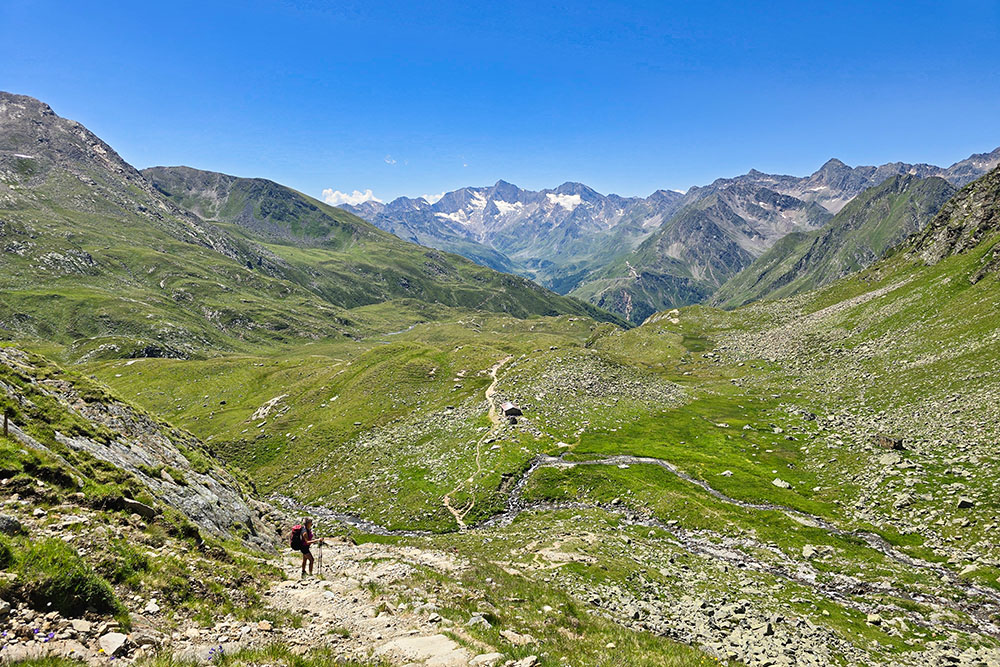
Il panorama si amplia
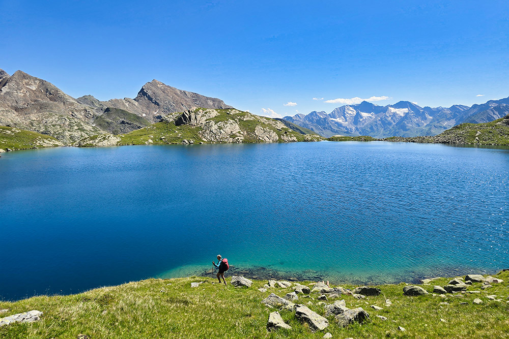
Arrivati al Lago Nero di Tumolo
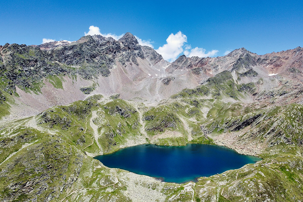
Lago Nero di Tumolo
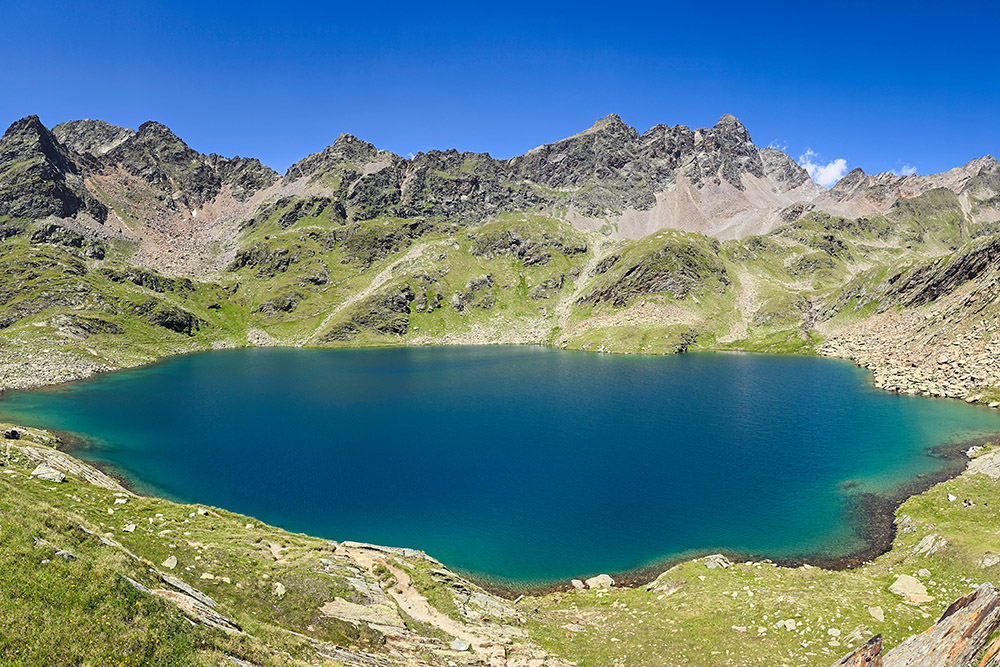
Lago Nero di Tumolo
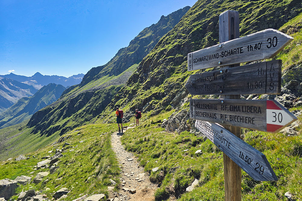
Si ritorna
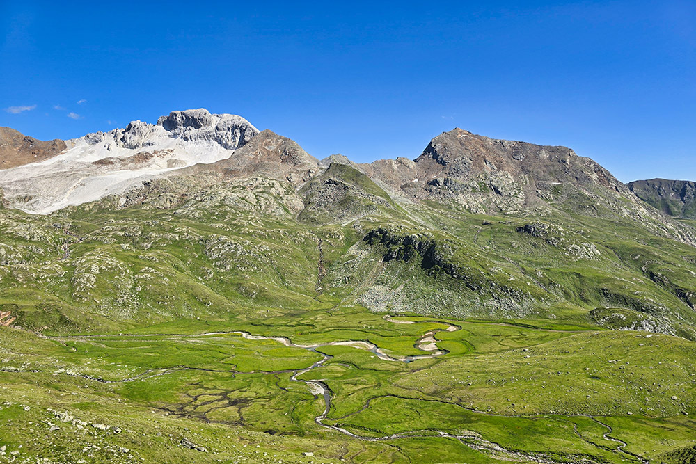
Oberkrumpwasser
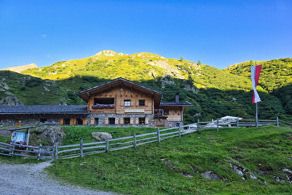
Ritornati alla Malga Tumolo