






Durata
 8:00 h
Distanza
 16,1 km
 Ascesa
 1350 m
Discesa
 1350 m
H Max
 2653 m
H Min
 1731 m
Alta Via Günther Messner
DESCRIPTION
Günther Messner Trail: ridge, via ferratas and panoramic views between Val di Funes and Val di Eores.
Geographical location
The Günther Messner via ferrata trail, also known as Alta Via Günther Messner or Günther-Messner-Steig in German (abbreviation GM), is a mountaineering route with some protected sections that winds around the Odle di Eores, between Val di Funes and Val di Eores, near Bressanone. The trail lies entirely within the Puez-Odle Nature Park in South Tyrol.
Hike
The Alta Via Günther Messner ascends the western ridge of the Odle di Eores and offers a long high-altitude itinerary, suitable for hikers already accustomed to via ferrata routes. The trail touches Monte Tullen and opens up wide panoramas over the Odle, the Puez Group, the Conturines and the Sass de Putia, extending the view as far as Monte Pelmo and the Civetta.
Technical difficulties remain moderate: the via ferrata sections, rated A/B, are not numerous. A couple of unprotected sections deserve attention instead: the final stretch before the summit of Tullen and a short chimney requiring some climbing. The hike covers about 16 km with an elevation gain of 1300 m; the length of the route calls for careful planning, especially with regard to weather conditions.
History and interesting facts
The trail is named after Günther Messner, a mountaineer from Val di Funes, who died on 29 June 1970 during the famous expedition on Nanga Parbat undertaken together with his brother Reinhold Messner. It was Reinhold Messner himself who laid out the route in memory of his late brother.
The Odle di Eores form a small Dolomite group, less famous than the celebrated Odle di Funes visible opposite, but able to offer a remote environment and far-reaching views. Monte Tullen, at 2654 m, represents its highest peak.
ITINERARY
From the parking area (1736 m) proceed along the asphalt road towards Chiusa for about 500 metres, then take the Günther Messner Trail. Upon reaching the Selletta di Col Magrei (2145 m), a short detour leads to the summit of Col Magrei (2165 m). Return to the main trail and continue, always following the GM signs, passing below Cima Lavina Bianca until reaching the foot of Monte Tullen. At the junction, turn left onto trail 25 and, after a short via ferrata section, reach the summit of Monte Tullen (2654 m). Return to the junction and resume the GM trail.
Here begins the via ferrata section: a short gully, a ridge passage and finally a 10-metre ladder conclude the protected part. Then descend to Forcella di Putia (2357 m) and from there return to the starting point, skirting the northern side of the Odle di Eores along a mid-slope trail, with continuous ups and downs across scree and pastures.
EXCURSION DATE
10 July 2026
STARTING POINT
At the intersection between the SP29 road coming up from Bressanone and the SP163 road coming up from Chiusa.
REFRESHMENT POINT
None
AUTHOR'S SUGGESTIONS
Not recommended for those who suffer from vertigo.
SAFETY ADVICE
The feasibility of the proposed itinerary, like all mountain terrain, is subject to environmental changes due to natural events and weather conditions. Therefore, before setting out, consult the relevant tourist offices and/or the reference mountain huts.
Our GPX tracks are only indicative, meaning the route was completed under the best conditions of trail and weather on that particular day. Always assess the situation on site accordingly.
Also remember to evaluate the route based on your physical abilities, training and the equipment you have available.
It is advisable to inform someone of the itinerary you intend to follow.
Remember that the emergency number is 112.
EQUIPMENT
It is recommended to have suitable equipment: technical mountain clothing, boots with Vibram or similar soles, via ferrata set, harness, helmet, via ferrata gloves, sunglasses, sunscreen, backpack with drinks.
RECOMMENDED MAPS
Tabacco 030 Brixen - Villnössertal / Bressanone - Val di Funes
INTERESTING LINKS
https://it.wikipedia.org/wiki/Günther_Messner
HOW TO ARRIVE
A22 exit Chiusa. Take the SS12 towards Bressanone. Shortly after, turn right onto SP29 towards Val di Funes and drive up to San Pietro. Here turn left onto SP163 towards Passo Erbe. Continue for 8.7 km and stop at the intersection with the road coming up from Bressanone SP29.
PARKING AREA
At the intersection between the SP29 road coming up from Bressanone and the SP163 road coming up from Chiusa.
GPS coordinates: 46.660362, 11.752308
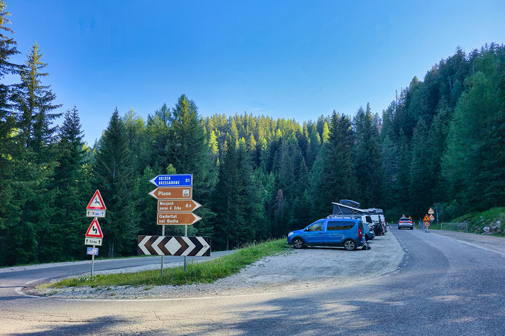
Parcheggio strada per Passo delle Erbe
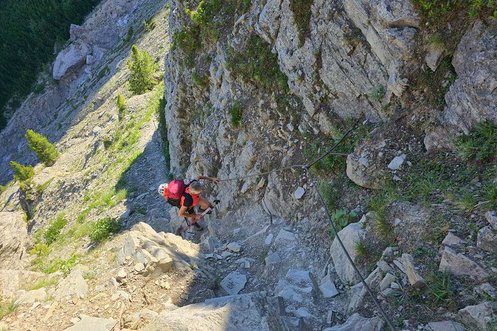
Primo tratto attrezzato
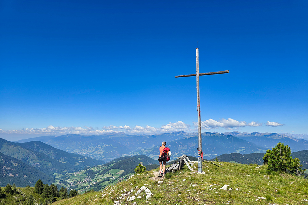
Croce di Col Magrei
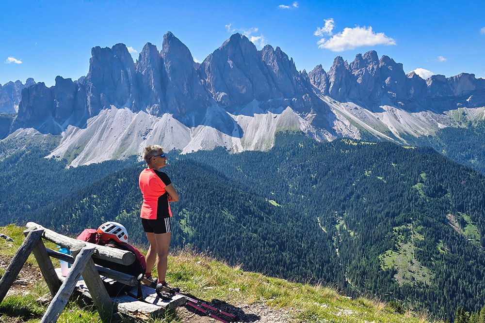
Panorama verso le Odle
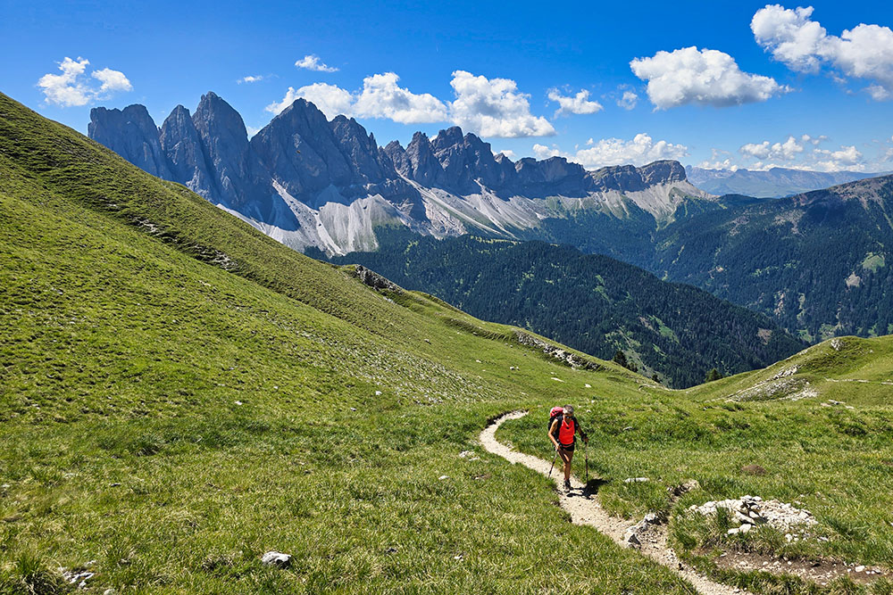
Si sale sul Sentiero Günther Messner
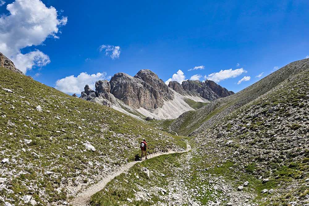
Si va verso la Cima Tullen
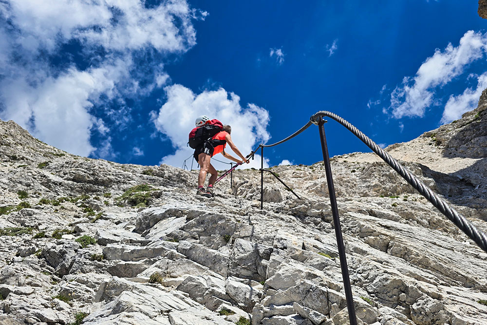
Secondo tratto attrezzato
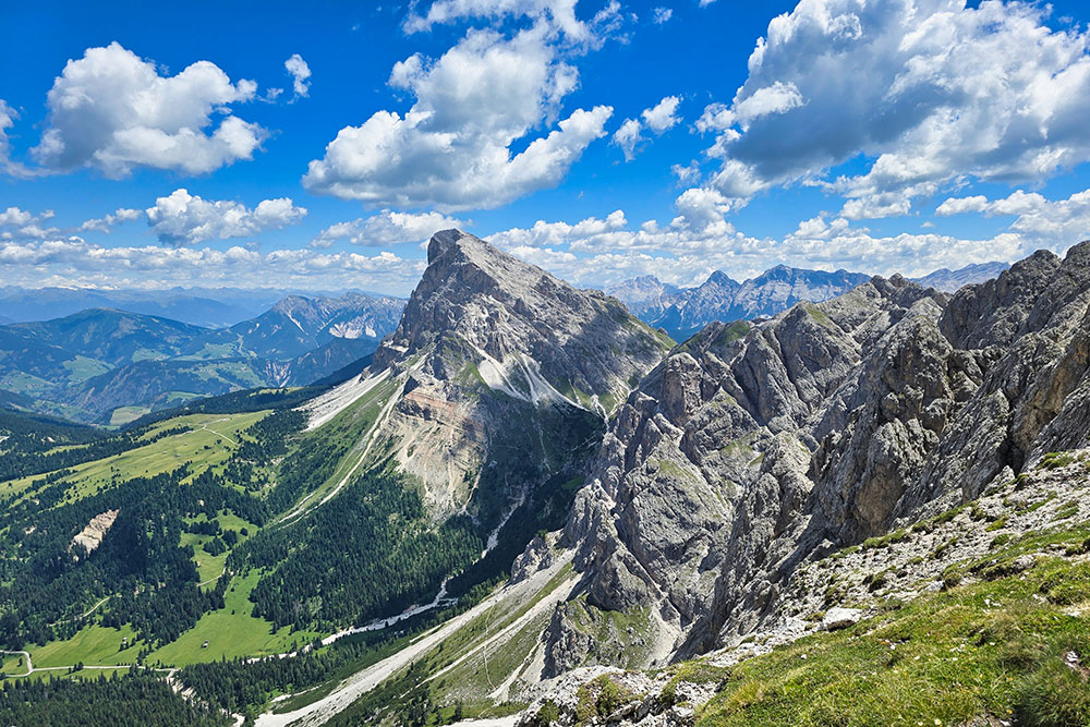
Vista verso il Sass de Putia
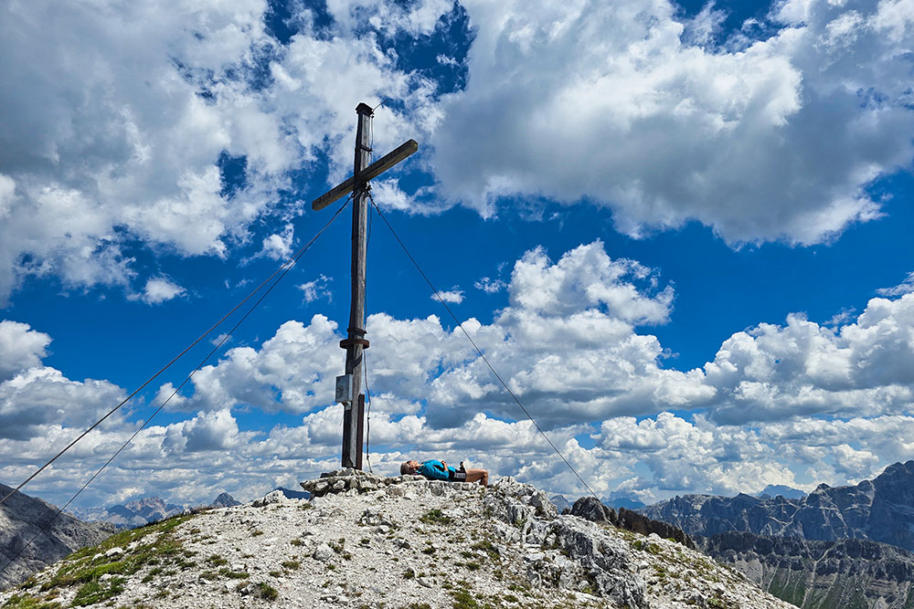
In vetta a Cima Tullen
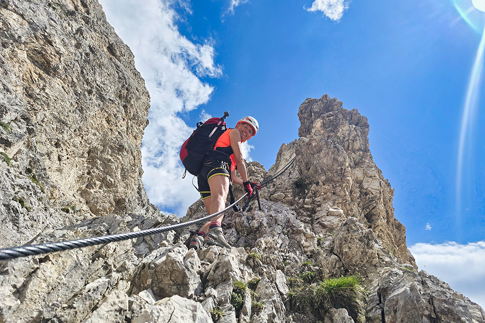
Inizia il tratto di ferrata
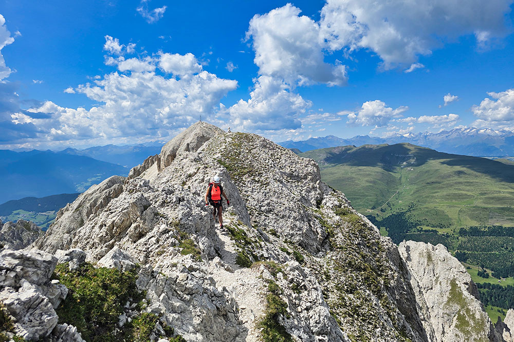
Tratto in cresta
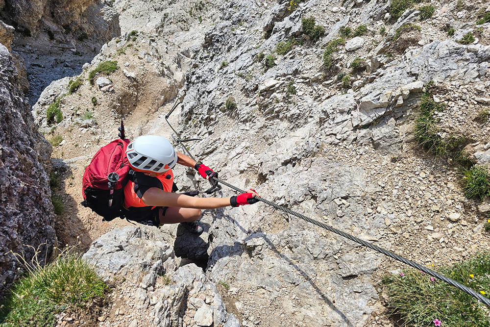
Altro tratto di ferrata
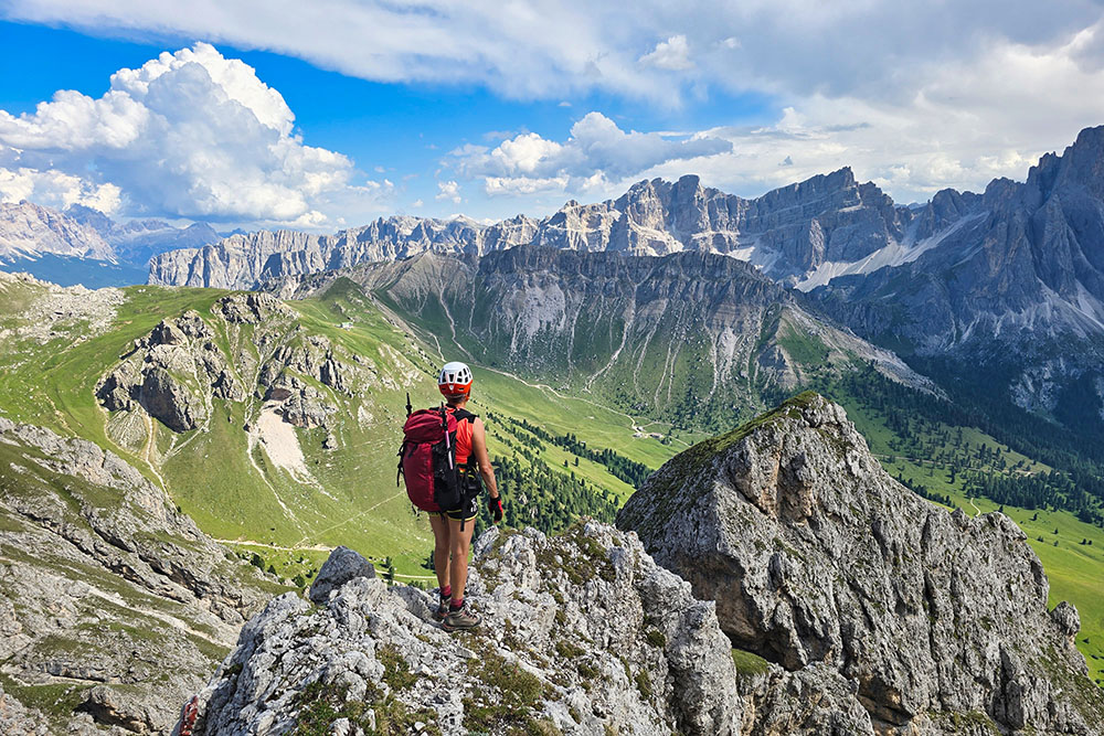
Ci godiamo la vista sull'Alta Val di Funes
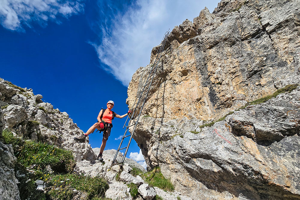
Scala di 10 metri
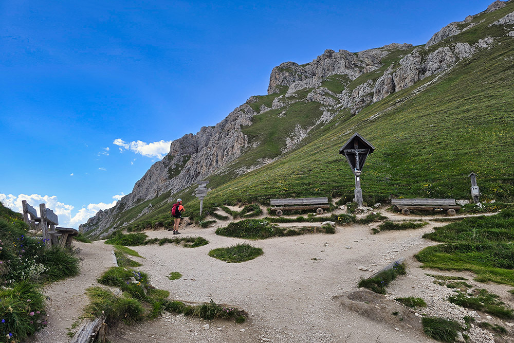
Frocella di Putia