






Durata
 7:00 h
Distanza
 20,4 km
 Ascesa
 1016 m
Discesa
 1016 m
H Max
 2232 m
H Min
 1433 m
From the Vincenzo Lancia Mountain Hut to the Achille Papa Mountain Hut
DESCRIPTION
The Pasubio massif: a journey through history, trenches and silence.
Geographical location
Monte Pasubio is a massif in the Vicentine Prealps, lying on the border between the provinces of Vicenza and Trento. Its territory is divided between the municipalities of Valli del Pasubio and Posina in Veneto, and Vallarsa, Terragnolo and Trambileno in Trentino. The highest peak of the group is Cima Palon, which reaches 2232 m.
Hike
The itinerary crosses the Pasubio from north to south, from Trentino to Veneto, and touches places that are not easily forgotten: the two Denti, the Zona Sacra and the Cemetery of the Brigata Liguria. Each stage carries with it a precise story, made of names, dates, human decisions and enormous consequences. We walk on terrain that, during the First World War, was the scene of very harsh clashes between the Austro-Hungarian and Italian armies, where many soldiers from both sides lost their lives.
From a technical point of view, the route presents no particular difficulties: no exposed sections. The total 20 kilometres, with 1000 metres of elevation gain, however, require trained legs and a steady pace. It is an itinerary suitable for those who already have some mountain experience behind them and have an interest in the sites of the Great War.
History and curiosities
The summit area of the Pasubio was declared a Zona Sacra (Sacred Area) in 1922, because it was the scene of the bloodiest fighting of the First World War. Along the front line, which ran right through this area, the surface still bears the signs of bomb craters; trenches, pathways, tunnels and shelters can be recognised. The heart of the Zona Sacra is marked by thirty memorial stones that commemorate the units that distinguished themselves in the harshest battles and includes the Dente Italiano, Cima Palon and Cogolo Alto, the peak immediately to the south.
The former Cemetery of the Brigata Liguria appears as a system of terraces enclosed by a low dry-stone wall. It was built by the infantrymen of the Brigata Liguria, who arrived on the Pasubio in 1916. In 1926, the inscription Di qui non si passa (You shall not pass) was placed there, the motto that the unit earned after the battle of Monte Zovetto, fought that same year. The cemetery held the remains of 164 fallen soldiers, later transferred in 1928 to the Pasubio Ossuary on the Colle di Bellavista.
The subsoil of the Pasubio was also a battlefield. The so-called mine warfare began on 29 September 1917, when the Austrians detonated the first device; a few days later an Italian mine replied. The explosions continued for months, until the most devastating of all: the Austrian mine of 13 March 1918, set off under the Dente Italiano with 50 tonnes of explosives. The explosion killed over fifty Italian soldiers, and the very face of the mountain was forever transformed.
ITINERARY
From the car park (1433 m) follow trail marker 101 towards the Lancia Mountain Hut. After about an hour you reach the Vincenzo Lancia Mountain Hut (1825 m), from which you continue on path 102. After passing the Bocchetta delle Corde (1900 m), you join path 105 and reach the Sella del Piccolo Roite (2087 m) and then the Dente Austriaco (2203 m). Descend to the Selletta dei Due Denti (2166 m) and ascend again to the Dente Italiano (2220 m). Continuing on path 105, you reach Cima Palon (2232 m), walking through the Galleria Papa in ten minutes. Then descend to Cogolo Alto (2150 m) and the Generale Achille Papa Mountain Hut (1928 m). The return follows trail marker 120 towards Selletta Comando: you pass the former Cemetery of the Brigata Liguria (2030 m), the Selletta Comando (2073 m), the Selletta del Groviglio (2077 m) and return to the Sella del Piccolo Roite (2087 m). From here, retrace path 105 and, passing by Malga Pozze (1812 m), return to the Vincenzo Lancia Mountain Hut (1825 m). The descent to the car park is via path 101.
EXCURSION DATE
27 June 2026
STARTING POINT
REFRESHMENT POINT
Vincenzo Lancia Mountain Hut and Generale Achille Papa Mountain Hut
AUTHOR'S SUGGESTIONS
Bring a torch to visit the tunnels.
SAFETY TIPS
The feasibility of the proposed itinerary, like all mountain terrain, is subject to environmental changes due to natural events and weather conditions. Therefore, before setting off, consult the relevant tourist offices and/or the reference mountain huts.
Our GPX tracks are only indicative, i.e. the route was completed under the best trail and weather conditions of that day. Always assess the situation on site.
Also remember to evaluate the route according to your physical abilities, training and the equipment you have available.
It is advisable to let someone know the itinerary you intend to take.
Remember that the emergency number is 112.
EQUIPMENT
It is recommended to have equipment suitable for the route, weather conditions and season: windproof and/or rain jacket, map and/or GPS device, sunglasses, sun cream, hiking boots, first aid kit, specific clothing, gloves, rucksack with food and drinks.
RECOMMENDED MAPS
Tabacco 056 Piccole Dolomiti - Carega - Pasubio
INTERESTING LINKS
https://www.cultura.trentino.it/eng/Events/Pasubio-1915-18.-La-lunga-battaglia
HOW TO ARRIVE
From Rovereto: SS46 then SS50 to Boccaldo. Here turn left and follow the signs for Lancia Mountain Hut, continuing to the car park.
PARKING AREA
Last car park on the road to the Lancia Mountain Hut. Free.
GPS coordinates: 45.830354, 11.118994
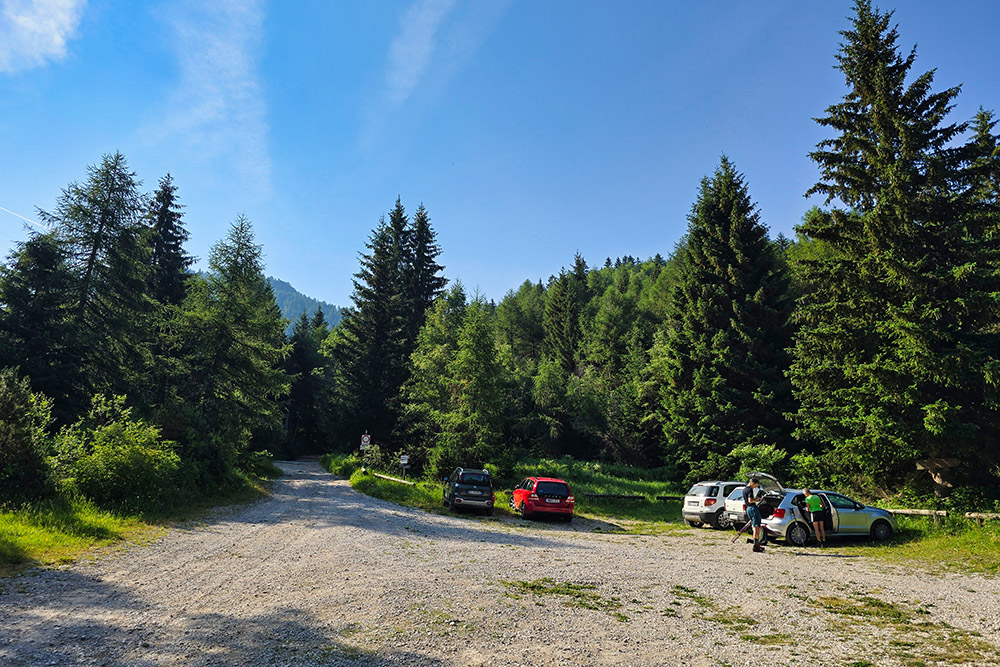
Parcheggio
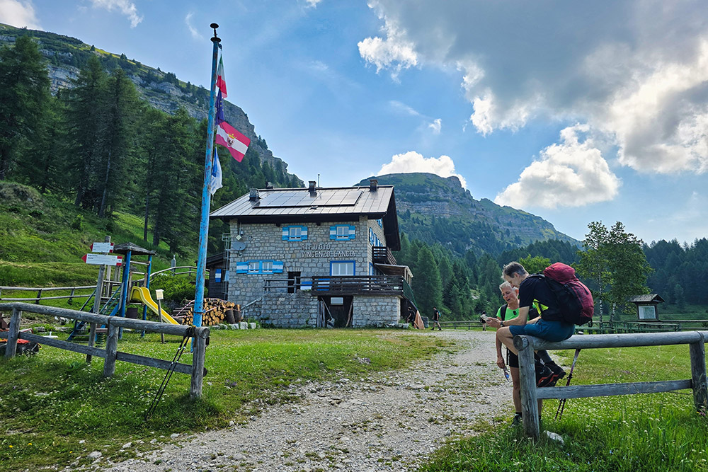
Rifugio Vincenzo Lancia
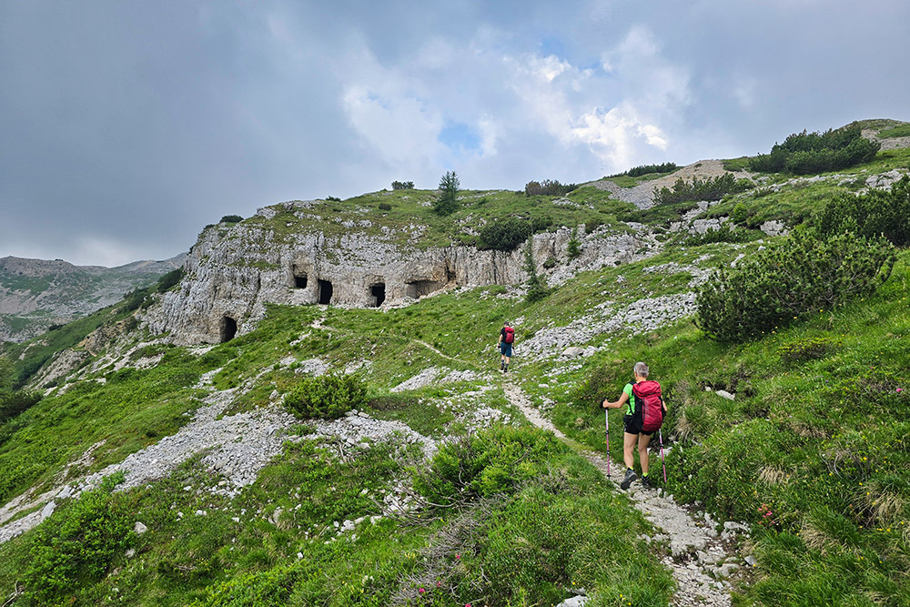
Iniziano le fortificazioni
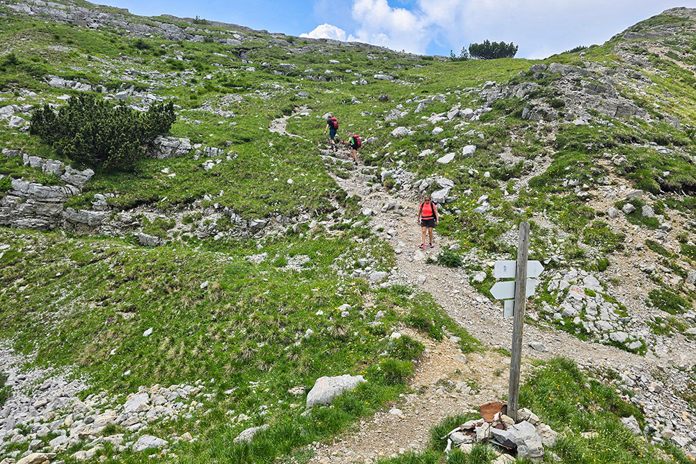
Sella del Piccolo Roite
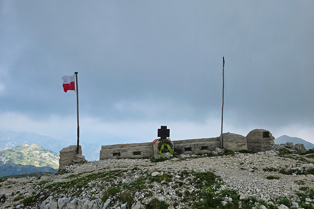
Il Dente Austriaco
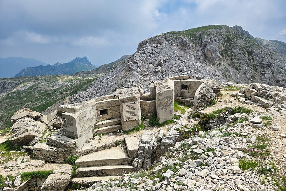
Resti di fortificazione sul Dente Austriaco
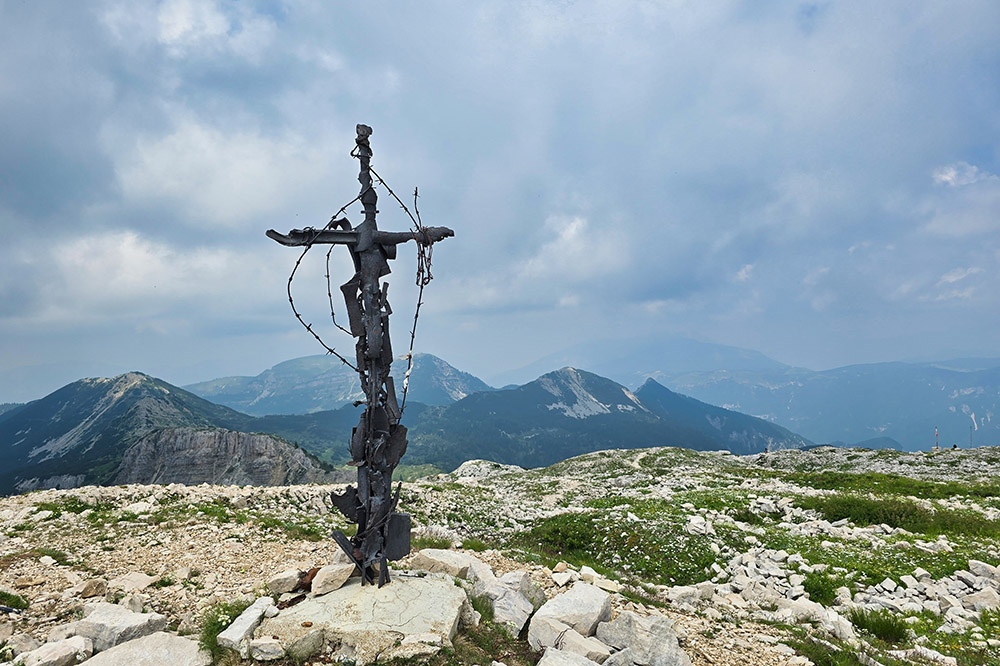
Croce di vetta del Dente Austriaco
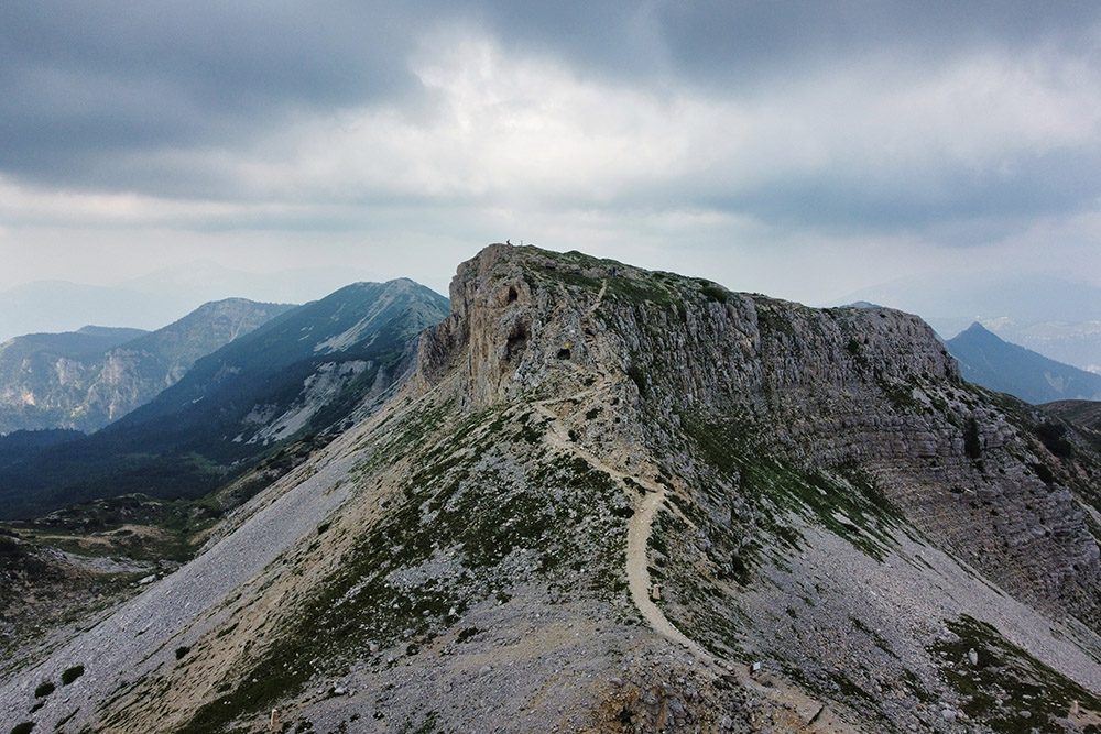
Dente Austriaco visto dal Dente Italiano
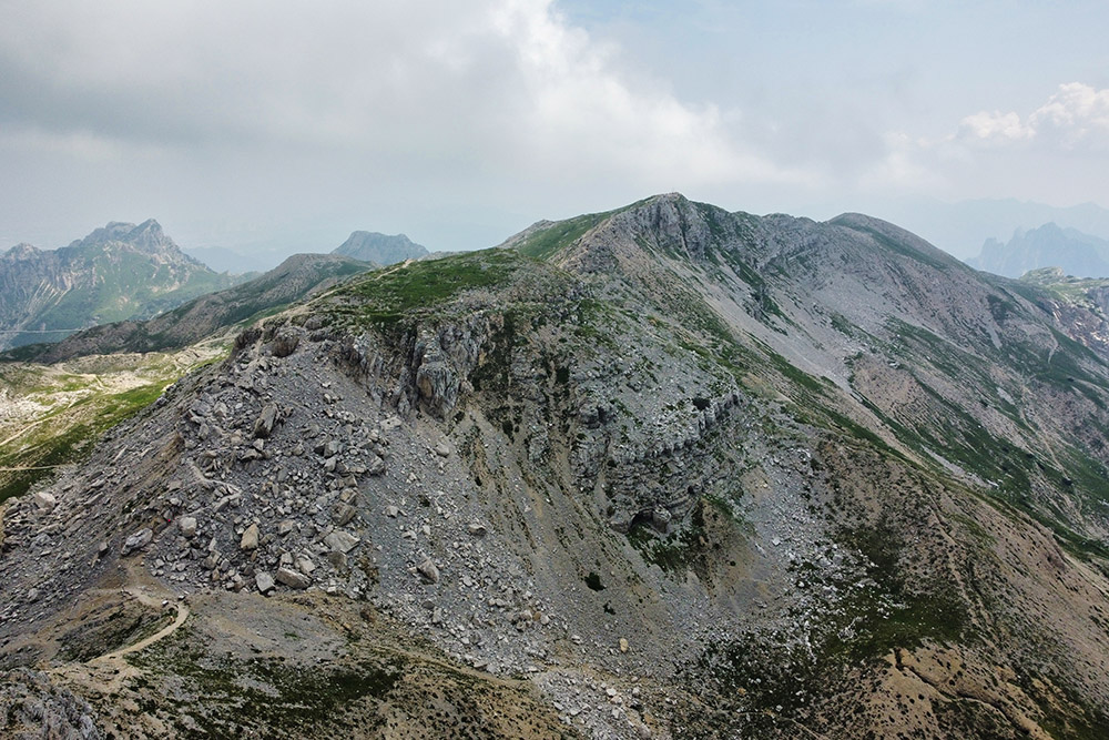
Segni evidenti della Guerra di mina nella Selletta dei Due Denti
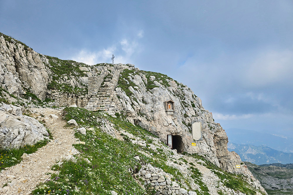
Il Dente Italiano
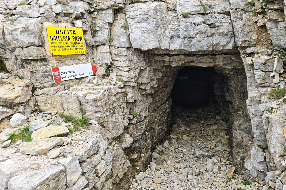
Saliamo al Palon per la Galleria Papa
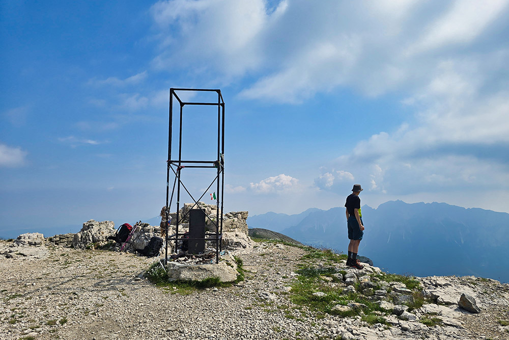
Cima del Palon
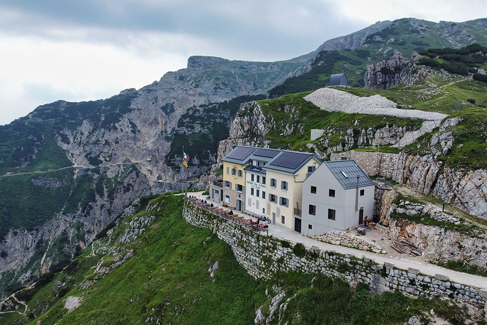
Rifugio Generale Achille Papa
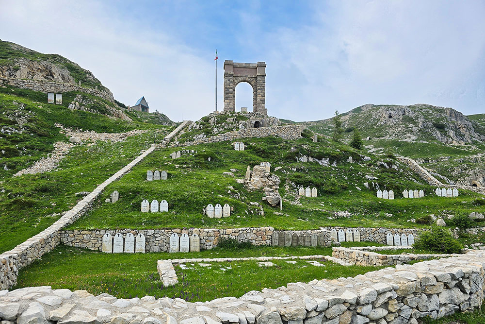
Ex Cimitero Brigata Liguria
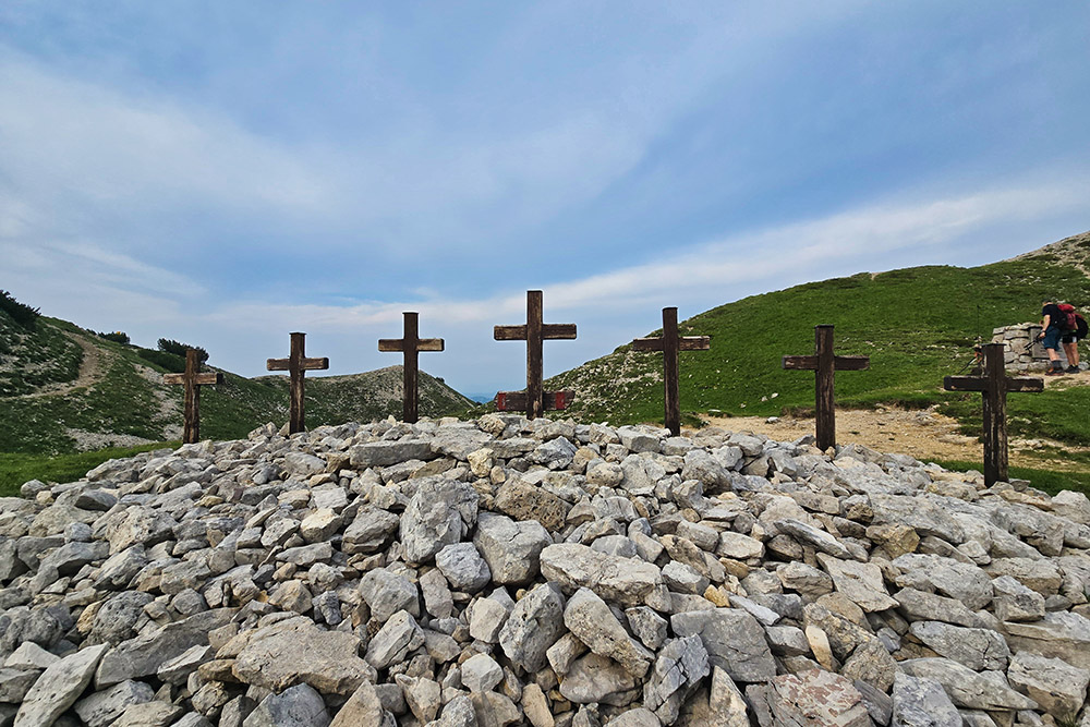
Sette Croci