






Durata
 5:15 h
Distanza
 24,7 km
 Ascesa
 1525 m
Discesa
 1525 m
H Max
 2926 m
H Min
 1499 m
Cima Undici from Resia
DESCRIPTION
Two wheels, two legs: the ascent to Cima Gamper, Cima Dieci and Cima Undici from Resia.
Geographical location
Cima Gamper, Cima Dieci and Cima Undici rise on the mountain ridge overlooking the south-western shore of Lake Resia, in South Tyrol, within the municipality of Curon Venosta (BZ), not far from the border with Austria and Switzerland. Lake Resia (in German: Reschensee) is an artificial alpine lake located at 1498 m, north of the nearby Lake San Valentino alla Muta, the largest lake in the province of Bolzano.
Hike
The itinerary is divided into two complementary parts. The first part is covered by mountain bike: 19.2 km with 890 m of elevation gain. The outward journey presents no technical difficulties and takes place on dirt or asphalt roads. For the return, however, there are three alternatives: retrace the outward route, comfortable and without surprises; take the Oberer Spin Trail, a single trail of difficulty S2; or choose the Piz Trail, a route of difficulty S0, suitable also for less experienced bikers.
The second part is tackled on foot: 5.5 km with 635 m of elevation gain. Here you enter the high mountains, between 2390 and 2926 m in altitude. The summit ridge, narrow and unstable, requires a steady foot and no dizziness. From the peaks you can enjoy a panorama that spans the upper part of the Venosta Valley, with Lake Resia and Lake San Valentino alla Muta clearly visible; to the south, the Ortles and the Cevedale stand out, together with the peaks that frame the Solda Valley; to the north, the view passes over the Resia Pass and extends to the Austrian side of the Alps.
The recommended period for the ascent is from July to the end of summer, in order to avoid snowy sections. It is nevertheless necessary to check the weather forecast: the area is close to the border ridge between Italy and Austria, an area particularly prone to summer thunderstorms and the sudden formation of fog on the ridges.
History and curiosities
The construction of a large dam in 1950 united Lake Resia and Lake Curon (also called Lake Mezzo), submerging the ancient village of Curon Venosta, later rebuilt further upstream. 163 houses and 523 hectares of fruit-growing land were submerged. Today, only the church bell tower remains visible from the ancient village, belonging to the Romanesque structure of 1357 dedicated to Saint Catherine of Alexandria.
Curiously, Cima Dieci and Cima Undici, together with the nearby Cima Dodici, are part of a small group called Rojner Sonnenuhr (Sundials of Val Roja): since always, the inhabitants of Roia/Rojen – the highest year-round inhabited village in the Italian Eastern Alps, at 2000 m – used them as a sort of natural sundial to orient themselves in the time of day.
ITINERARY
Start from the village of Resia (1500 m) by mountain bike and climb along an asphalt road towards the Belpiano-Rojen mountain hut. Once you reach the mountain hut (2109 m), continue climbing by MTB up to the top station of the Rojen chairlift (2390 m). Here you leave your bike and continue on foot along trail 9B. Then turn left onto trail 9A, reaching Cima Gamper (2662 m). Continue along the ridge to Cima Dieci (2675 m), which continues in an up-and-down route to the foot of Cima Undici. From here climb to the summit (2926 m) following trail 9B. The return to the Belpiano mountain hut is always along the signposted trail 9B, while the descent to Resia is done by MTB on the Piz Trail n. 26.
EXCURSION DATE
4 July 2026
ITINERARY
Start from the village of Resia (1500 m) with the MTB and climb along an asphalt road towards the Belpiano - Rojen mountain hut. Once you reach the Belpiano mountain hut (2109 m), continue climbing by MTB up to the top station of the Rojen chairlift (2390 m). Here you leave your bike and climb along trail 9B. Now turn left onto trail 9A and reach Cima Gamper (2662 m). Continue along the ridge and climb to Cima Dieci (2675 m). The ridge continues in an up-and-down route to the foot of Cima Undici. Here climb to the summit (2926 m) on trail 9B. Return to the Belpiano mountain hut always following the signposted trail 9B. Descend to Resia on the MTB trail Piz Trail n. 26.
STARTING POINT
Resia
REFRESHMENT POINT
Belpiano mountain hut
AUTHOR'S SUGGESTIONS
Choose the MTB trail for the return according to your riding ability.
SAFETY ADVICE
The practicability of the proposed itinerary, like all mountain morphology, is subject to environmental changes due to natural events and weather conditions. Therefore, before setting off, consult the competent tourist offices and/or the reference mountain huts.
Our GPX tracks are only indicative, meaning the route was completed under the best trail and weather conditions of that day. Therefore, always assess what to do on site.
Also remember to evaluate the route according to your physical abilities, training and equipment available.
For e-bike owners: carefully evaluate the kilometres and elevation gain in relation to battery power and rider weight.
It is advisable to let someone know the itinerary you intend to follow.
Remember that the emergency number is 112.
EQUIPMENT
It is recommended to have equipment suitable for the route, weather conditions and season: helmet, windproof and/or waterproof jacket, map and/or GPS device, sunglasses, helmet and/or handlebar torch (an unforeseen event can lengthen travel times), sunscreen, hiking boots, first aid kit, bike repair kit, specific clothing, whistle or signal bell, bike wheel reflectors, gloves, backpack with food and drinks.
RECOMMENDED MAPS
Tabacco 043 Vinschgauer Oberland Nauders - Alta Val Venosta
INTERESTING LINKS
https://www.schoeneben.it/it/la-mia-avventura-alpina-1/
HOW TO ARRIVE
From Merano take the SS38, then at Spondinga follow the SS40 until you reach Resia.
PARKING AREA
In Resia in Via Paese Vecchi, paid parking.
GPS coordinates: 46.829733, 10.513375
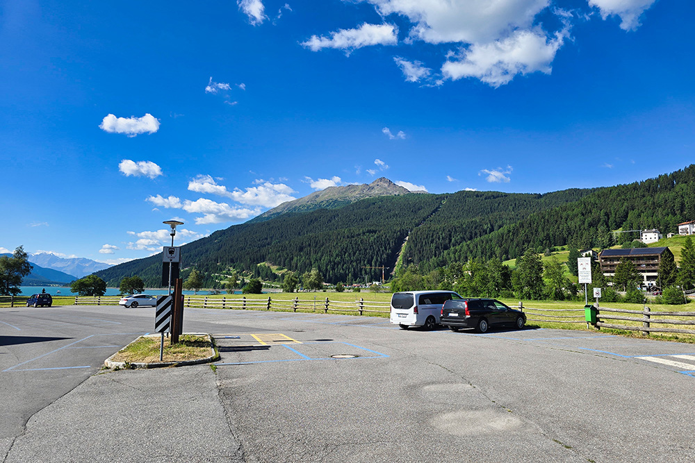
Parcheggio a Resia
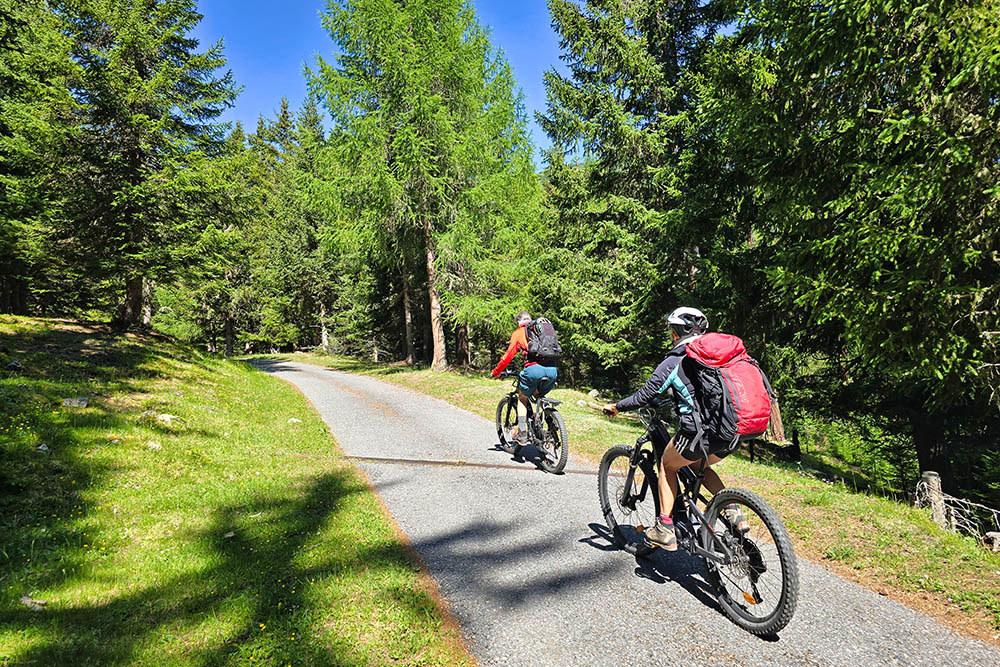
Si sale su strada asfaltata
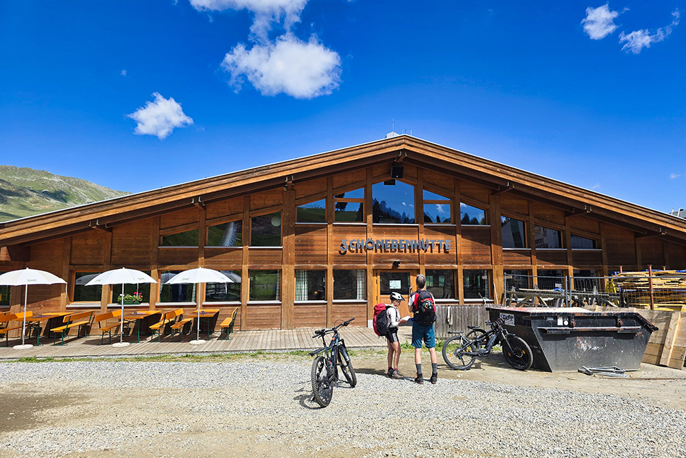
Arrivati al Rifugio Belpiano
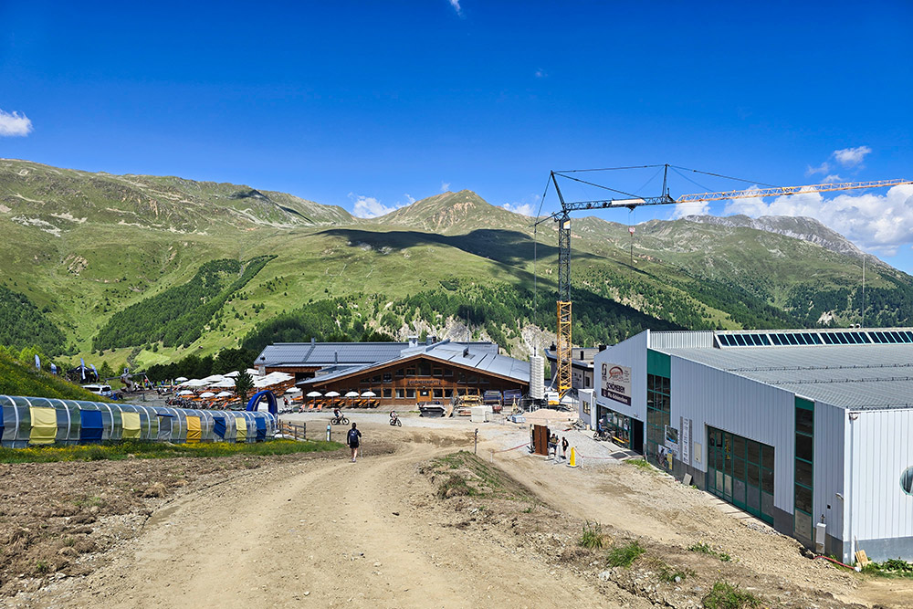
Si riparte in bici
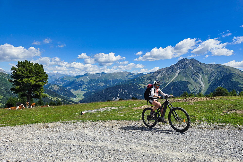
La strada è sempre sterrata
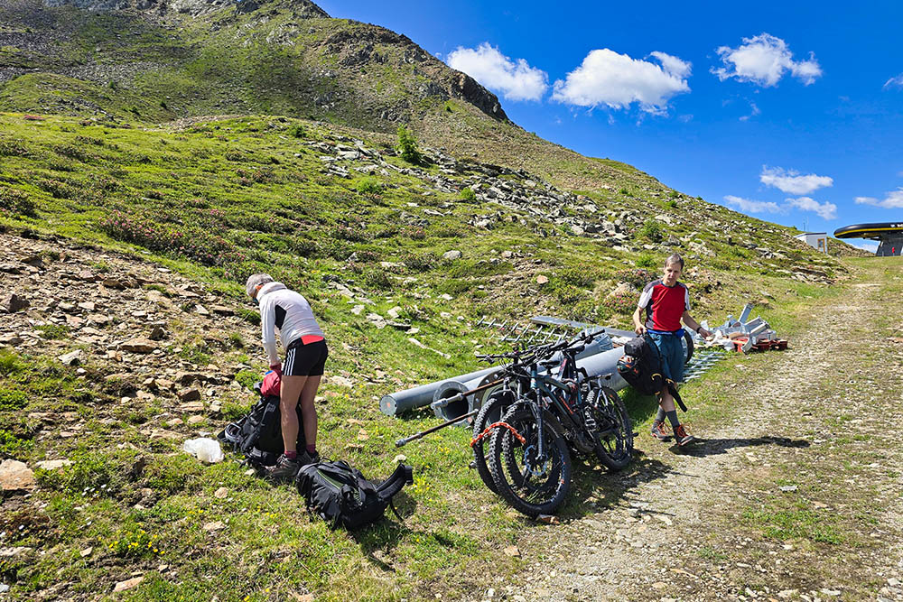
Lasciamo le MTB
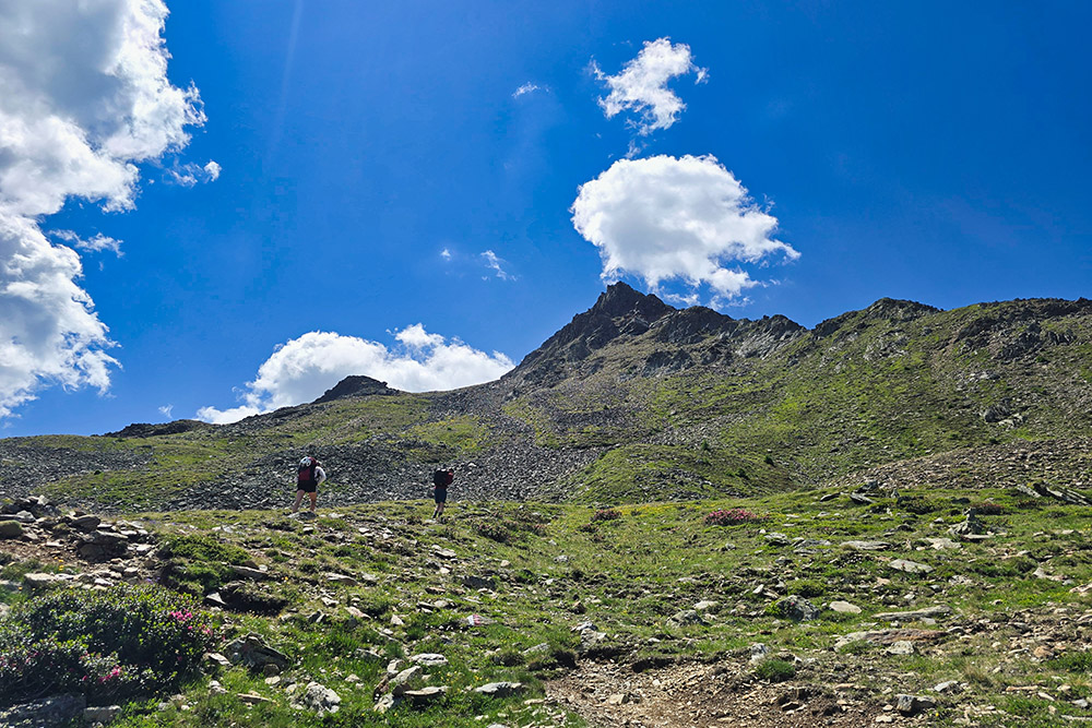
Ora si sale a piedi
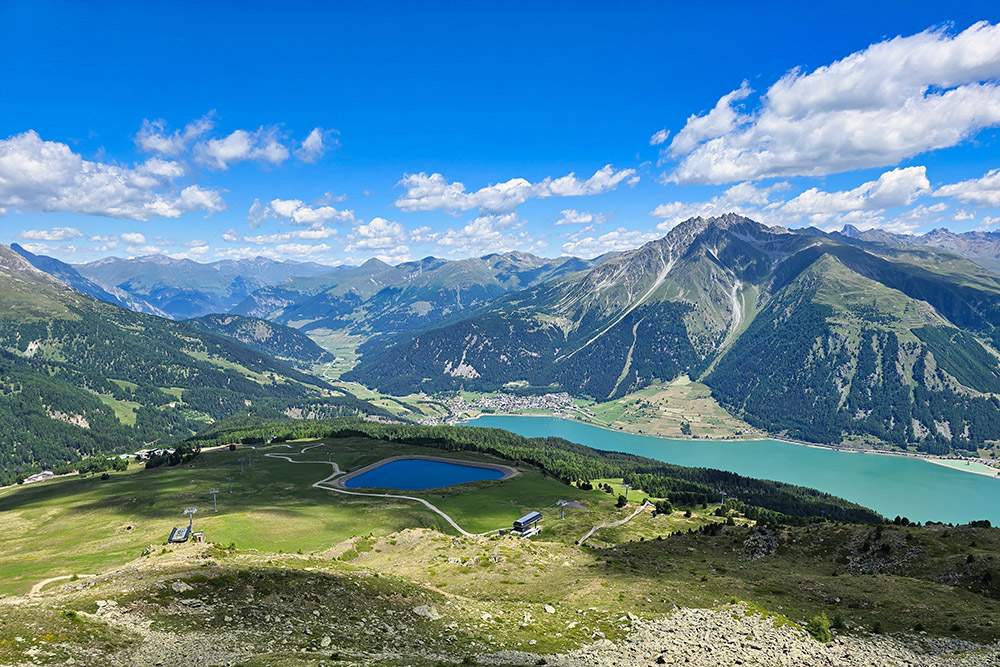
Panorama verso il Lago di Resia
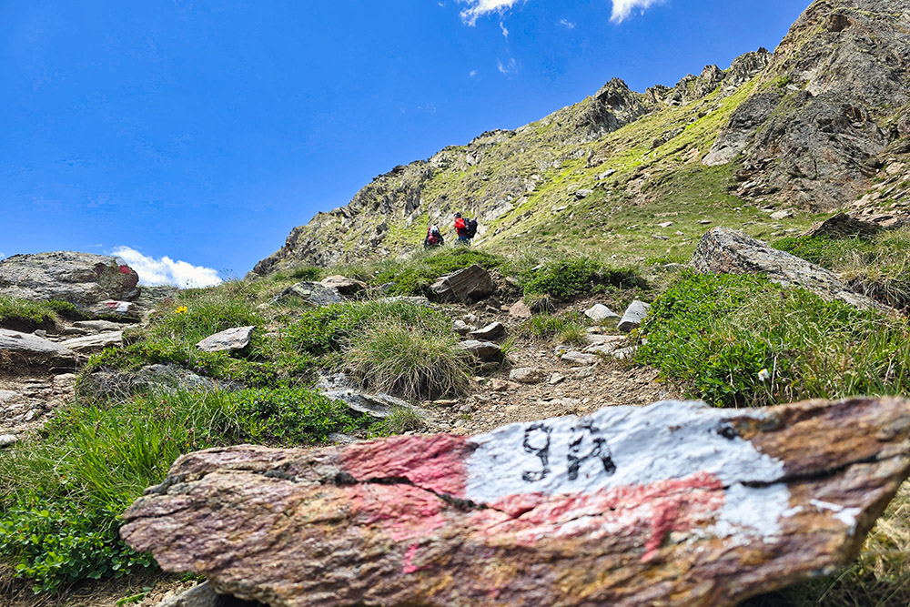
Deviamo sul 9A
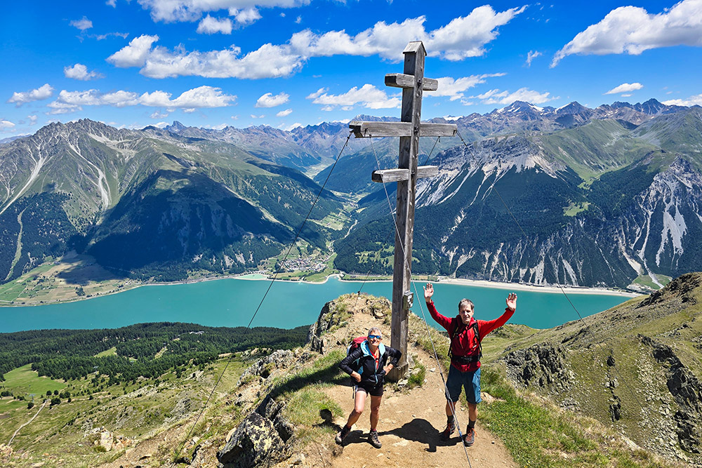
Gamper Spitz
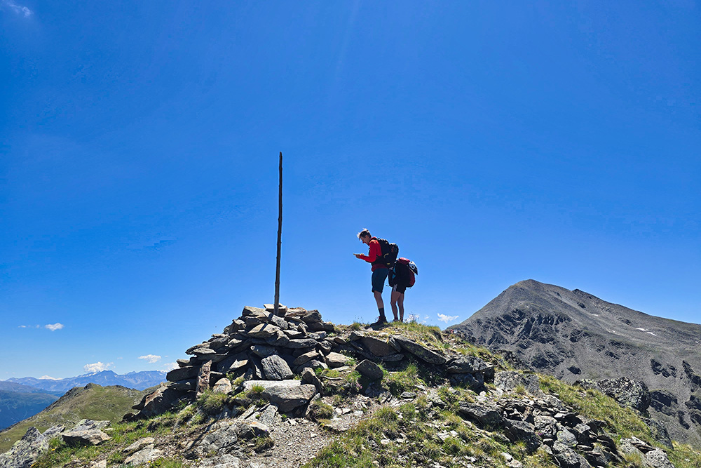
Cima Dieci
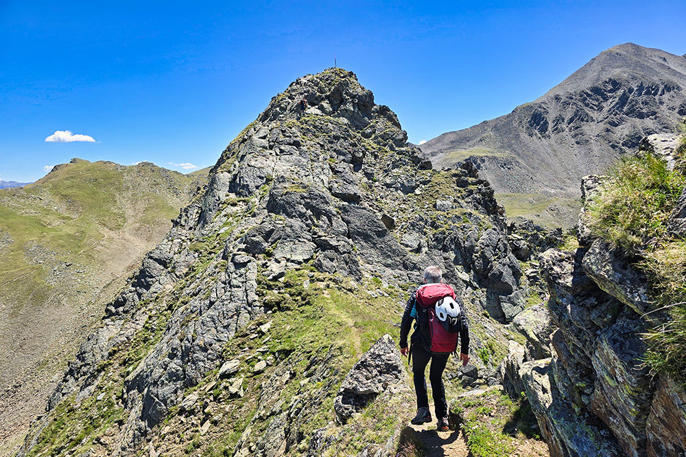
Si cammina in cresta
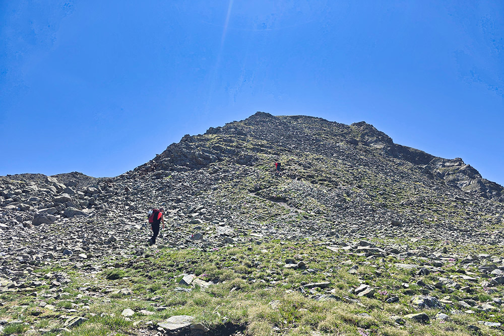
Ultimo tratto di salita
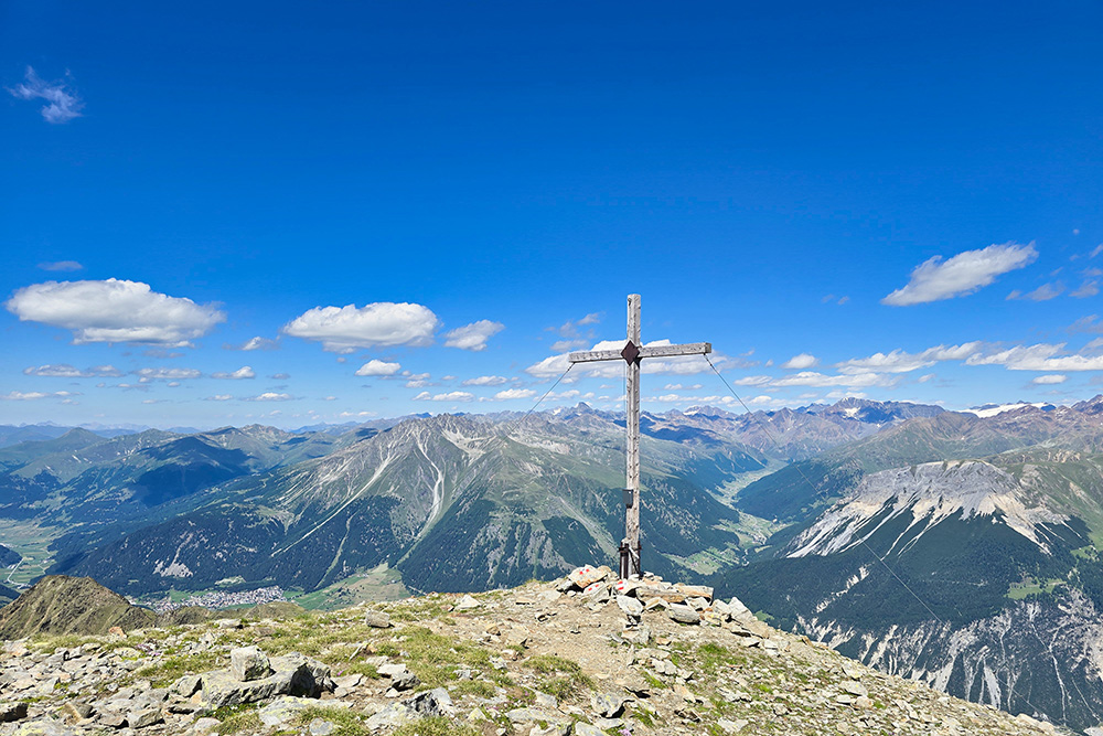
Cima Undici
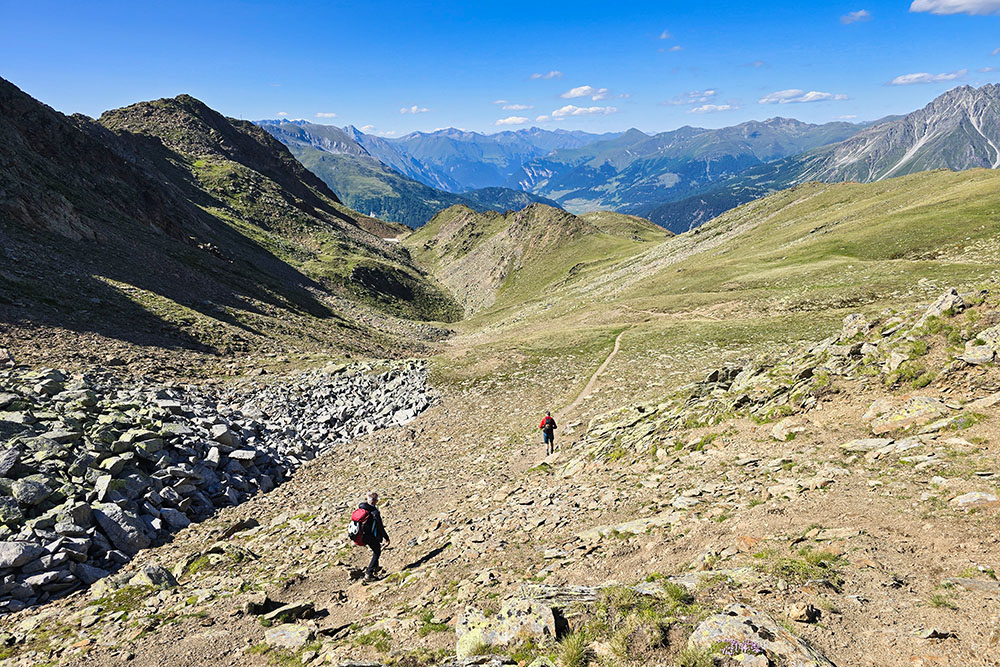
Si ritorna per il sentiero 9B