






Durata
 6:30 h
Distanza
 14,9 km
 Ascesa
 1200 m
Discesa
 1200 m
H Max
 2428 m
H Min
 1042 m
Lodnerhütte and Sattelspitze
DESCRIPTION
Between peaks and streams: the Sattelspitze loop in the Texel Group Nature Park.
Geographical location
The Lodnerhütte mountain hut (2,259 m) and the Sattelspitze peak (2,428 m) are located in South Tyrol, in the heart of the Texel Group Nature Park (Naturpark Texelgruppe), within the Zieltal Valley. The park extends over the western part of the province of Bolzano and includes the municipalities of Parcines/Partschins, Naturno/Naturns, Lagundo/Algund, Tirolo/Dorf Tirol, Senales/Schnals, Rifiano/Riffian, San Martino/St. Martin and Moso in Passiria/Moos in Passeier. The Rhaetian Alps frame a territory that ranges from the sub-Mediterranean valley floors to the high glacial altitudes, offering an exceptional variety of environments.
The Hike
This hike is demanding and suitable exclusively for experienced, well-trained hikers who have a head for heights. The most technical section is the Franz Huber Trail (trail marker 7B), which runs along a high-altitude ridge with numerous exposed passages and some sections equipped with chains and stirrups, requiring a sure-footed step and good familiarity with mountainous terrain.
The route more than repays the effort: from the summit of the Sattelspitze, an extraordinary view opens up over Merano, the Adige Valley as far as Bolzano, the Dolomite peaks of the Val di Fassa, and the high peaks of the Texel Group. Along the entire itinerary, water is a faithful companion: rivulets, streams, and waterfalls accompany every section of the path.
Those wishing to lighten the physical commitment can split the tour into two days, staying overnight at the Lodnerhütte mountain hut. Along the route, refreshment points are plentiful: the Tablander Alm, the Lodnerhütte, the Zielalm, and the Nasereit Hut offer the chance to refuel with typical South Tyrolean dishes and regain energy before continuing.
History and interesting facts
The name Sattelspitze precisely describes the morphology of the peak: the summit rises above a clear saddle, following the typical Alpine naming of Germanic origin that reflects the shape of the terrain below.
The Franz Huber Trail is named after the Merano mountaineer Franz Huber (1875–1941), a passionate explorer of the Texel Group and a leading figure in the Merano section of the German and Austrian Alpine Club (DuOeAV). He made a decisive contribution to the development of the local trail network, and the trail bearing his name perpetuates his memory on one of the most scenic routes in the entire massif.
The Lodnerhütte has a history of over a century. It was built in 1891 by the Merano section of the DuOeAV; it was already expanded in 1894 and in 1908 a completely new building was inaugurated. The structure remained managed by the Austro-German Alpine Club until 1923, when it was expropriated and entrusted to the Italian Alpine Club (CAI) in 1924. Near the hut stands a small chapel, built in 1933 by the then manager Anton Raffeiner, known as Wirt's Toni, who is remembered today by a plaque. Today, the management of the structure is under the Autonomous Province of Bolzano, with equal involvement of the CAI and AVS.
The Texel Group Nature Park, within which the entire hike takes place, was founded in 1976 and extends over an area ranging from about 800 to over 3,600 meters in altitude, with almost all vegetation zones of South Tyrol represented. The park's motto — From water and light — well summarizes the identity of a landscape shaped by streams, waterfalls, and intense solar radiation.
ITINERARY
From the parking lot of the Nasereit Hut (1,402 m), follow the asphalt road along trail marker 8B. Upon reaching the Steiner farm (1,443 m), the actual trail begins: first ascend on trail 24A, then on trail 24, until reaching the Tablander Alm (1,788 m). From here, take trail 1, which leads to the junction with the Franz Huber Trail (2,200 m), trail marker 7B. Proceeding westwards, you arrive at the fork for the summit of Sattelspitze (2,428 m). After returning to the fork, continue on the Franz Huber Trail 7B to the Lodnerhütte (2,259 m). The return is via trail no. 8, passing by the Zielalm (2,200 m) and the Nasereit Hut (1,523 m).
EXCURSION DATE
14 June 2026
STARTING POINT
Parking area of the Nasereit Hut
REFRESHMENT POINT
Tablander Alm, Lodnerhütte, and Nasereit Hut
AUTHOR'S SUGGESTIONS
Avoid periods immediately after heavy late snowfall.
SAFETY ADVICE
The usability of the proposed itinerary, like all mountain morphology, is subject to environmental changes due to natural events and weather conditions. Therefore, before leaving, consult the competent tourist offices and/or the relevant mountain huts.
Our GPX tracks are only indicative, meaning the route was completed under the best trail and weather conditions of that day. Always evaluate what to do on site.
Also, remember to assess the route based on your physical abilities, training, and the equipment you have available.
It is advisable to inform someone of the itinerary you intend to follow.
Remember that the emergency number is 112.
EQUIPMENT
It is recommended to have equipment suitable for the route, weather conditions, and season: windproof and/or waterproof jacket, map and/or GPS device, sunglasses, sunscreen, hiking boots, first-aid kit, appropriate clothing, gloves, backpack with food and drinks.
RECOMMENDED MAPS
Tabacco 011 MERANO AND SURROUNDINGS
INTERESTING LINKS
http://lodnerhuette.com/it/
HOW TO ARRIVE
From Merano, take the SS38 towards the Reschen Pass. At Töll, turn right and go up for about one kilometer to the village of Partschins. Here, follow the sign for the Partschins Waterfall. At the Tabland junction, turn right onto Via Tabland/Tablander Straße and follow it to the parking lot (about 6 km).
PARKING AREA
Free parking at the parking lot for the Nasereit Hut
GPS coordinates: 46.698362, 11.042917
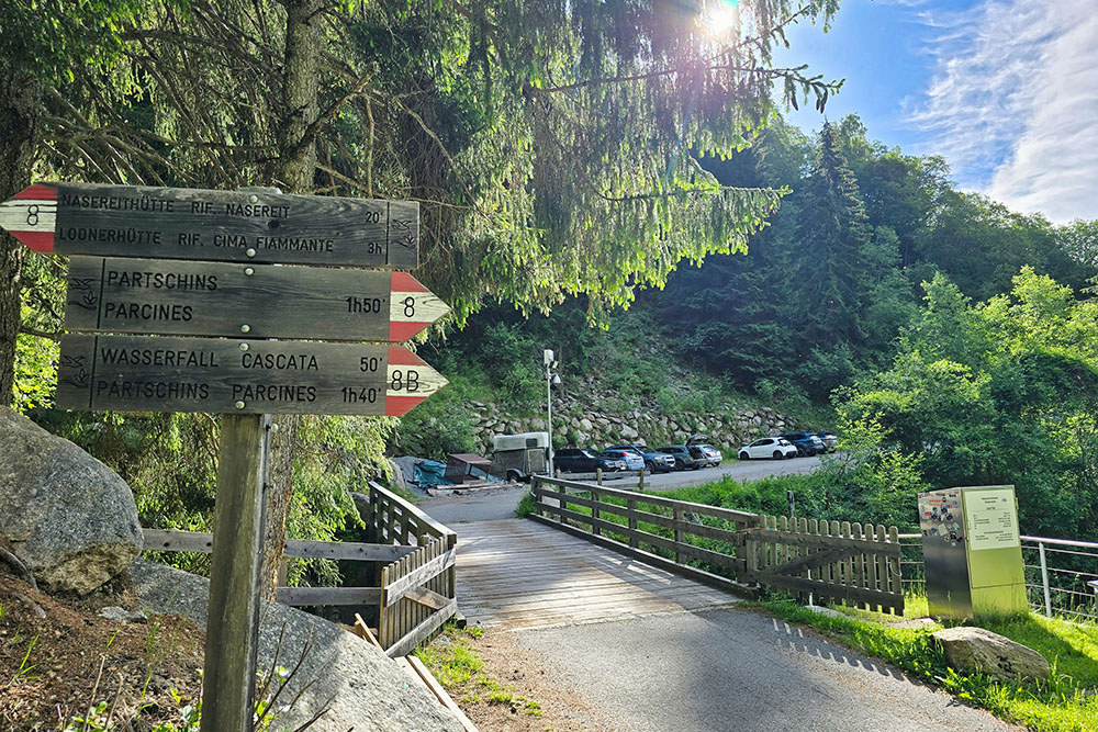
Parcheggio
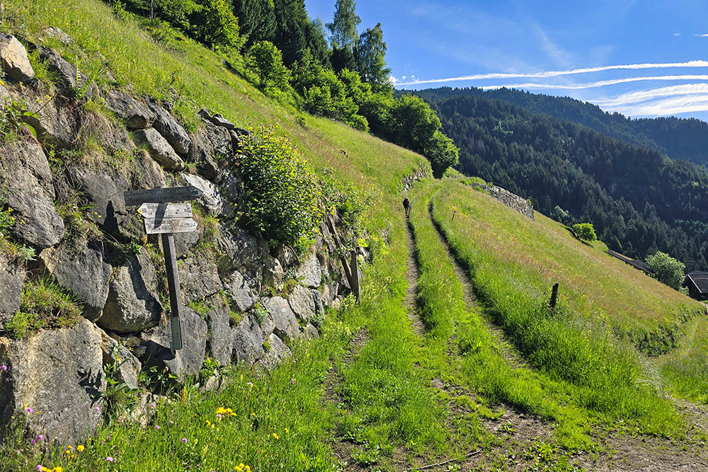
Bivio sopra Maso Steiner
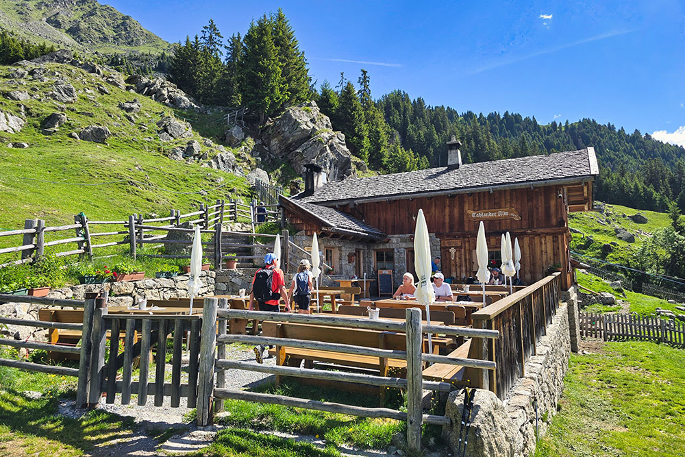
Malga Tabland
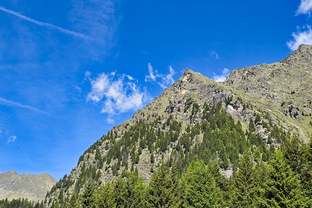
Vista su Monte Sella
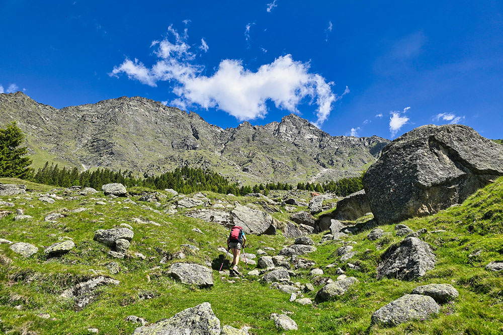
Si sale sul sentiero 1
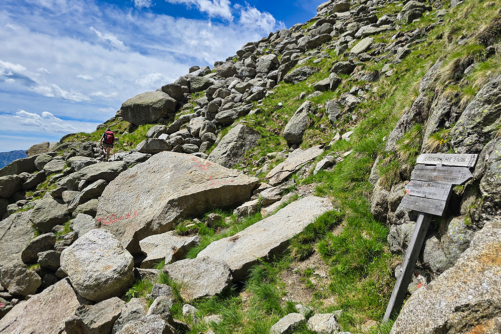
Inizio Sentiero Franz Huber
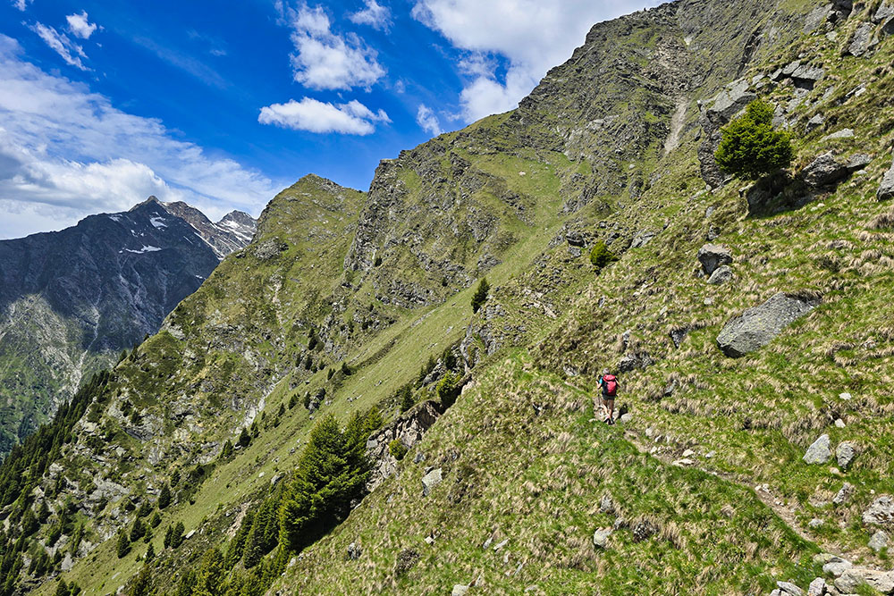
Si cammina in quota
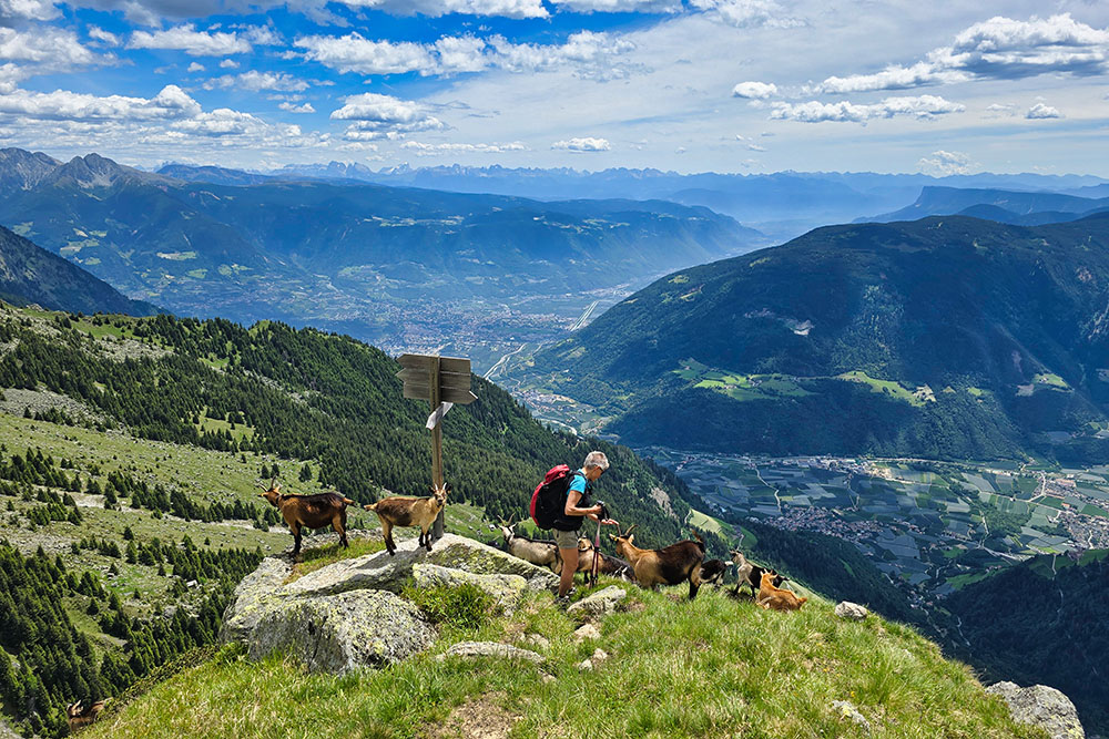
Bivio per la vetta del Monte Sella
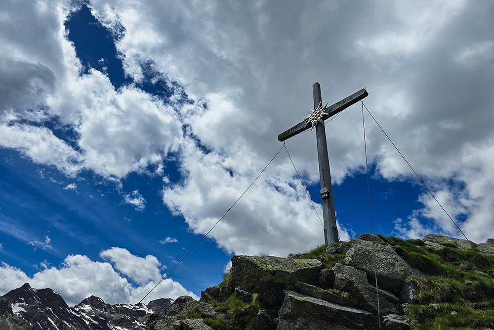
Croce di vetta del Monte Sella
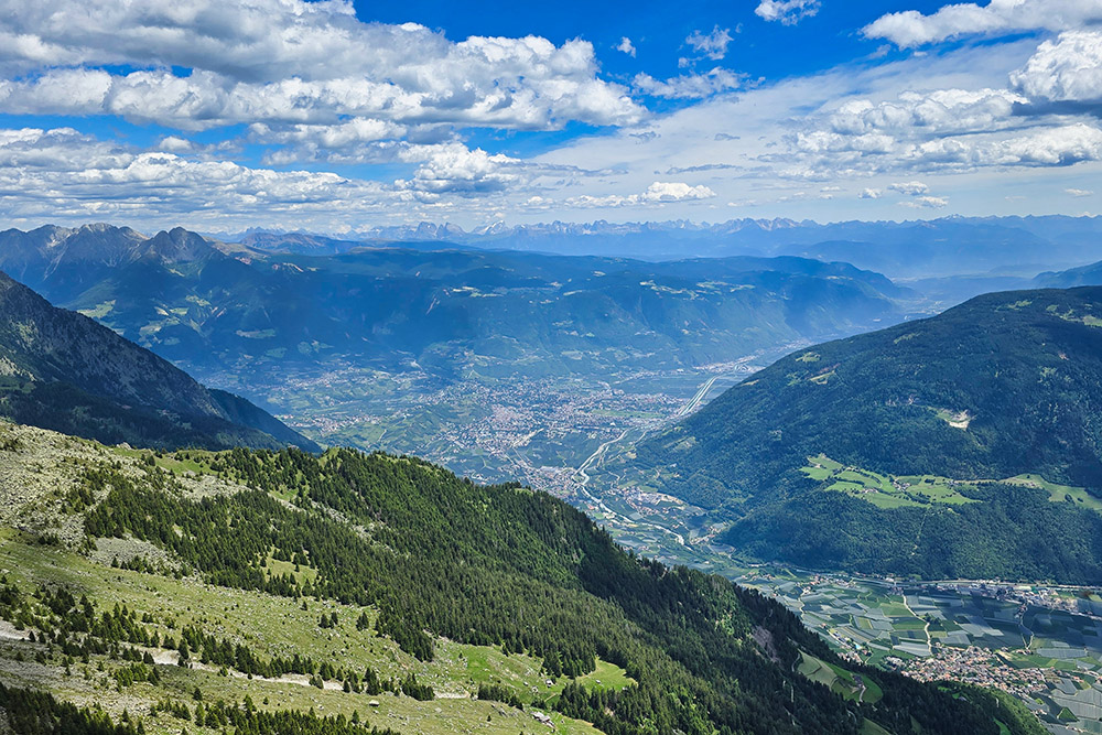
Panorama verso Merano
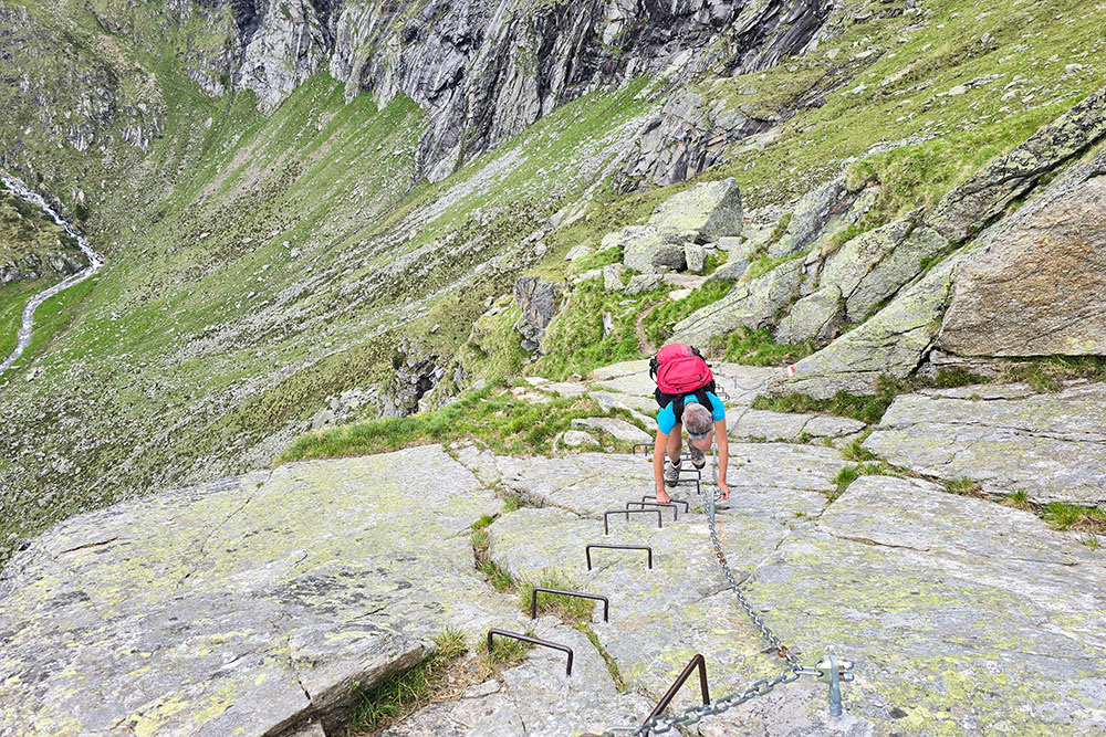
Tratto attrezzato
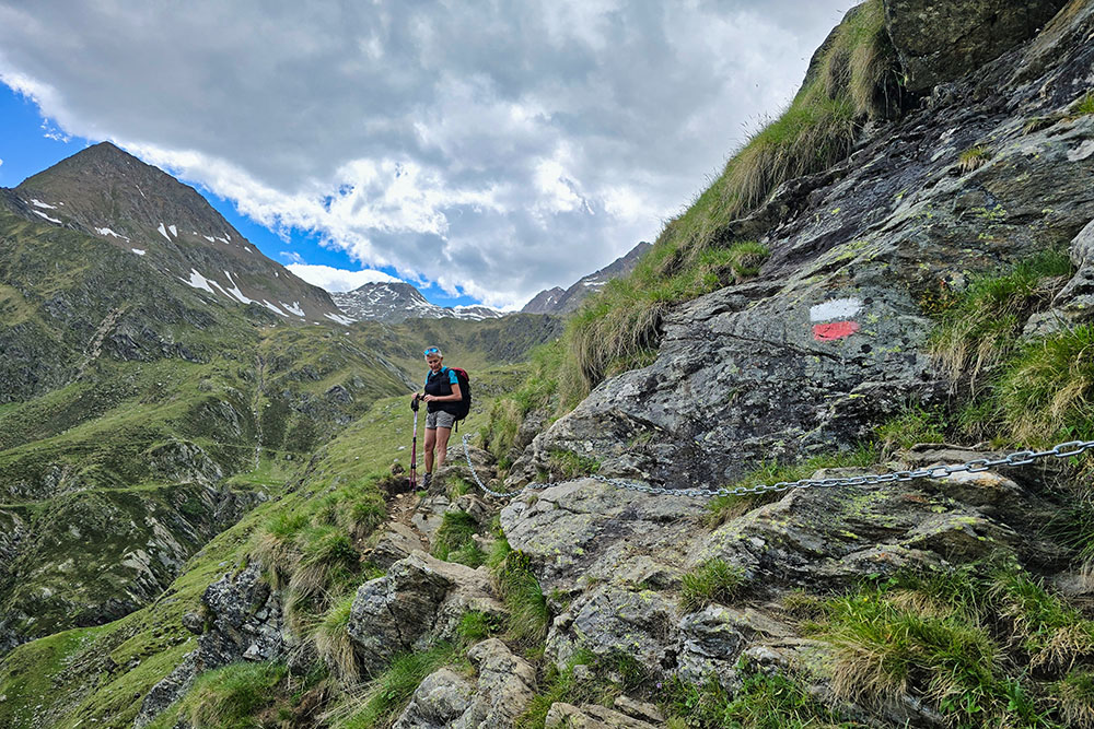
Tratto attrezzato
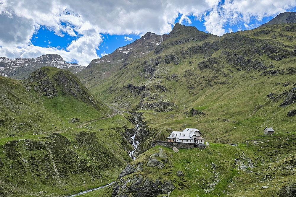
Il Rifugio Cima Fiammante
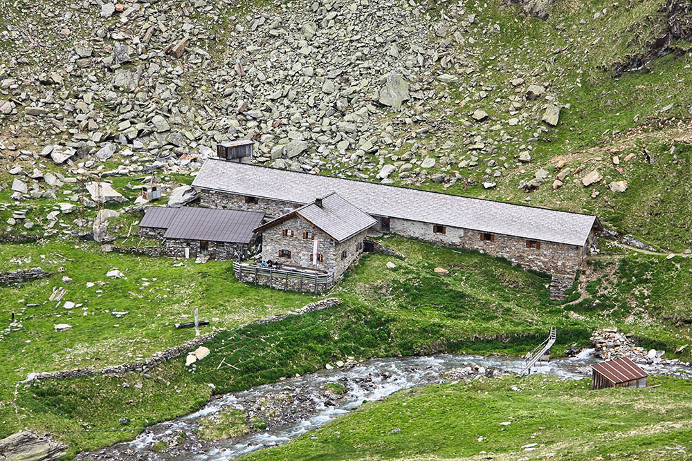
Malga Ziel
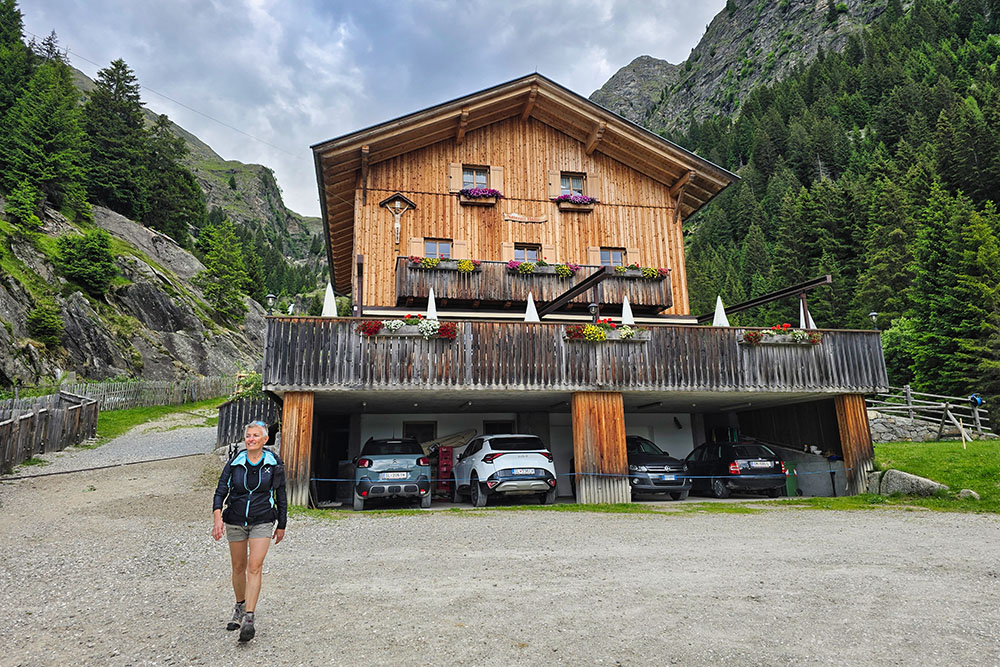
Il Rifugio Nasereit