


![]()


Durata
 4:15 h
Distanza
 10 km
10 km Ascesa
 432 m
432 mDiscesa
 610 m
610 mH Max
 489 m
489 mH Min
 1 m
1 mAmalfi Coast: Colli di Fontanelle - Nerano #5
DESCRIPTION
The wild trail of the Amalfi Coast.
Geographical Location
The itinerary develops in the Sorrento Peninsula, specifically between the municipalities of Sant'Agnello, Sorrento, and Massa Lubrense, within the metropolitan city of Naples. Colli di Fontanelle is a hamlet of Sant'Agnello located on the hills of the Sorrento Peninsula, formed by the Lattari Mountains, at about 345 meters above sea level. The area crossed by the CAI trail 300 belongs to the territory of the Monti Lattari, a mountain range that extends along the entire Amalfi Coast and the Sorrento Peninsula, representing the natural ridge that separates the two gulfs.
Hike
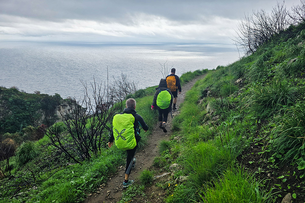
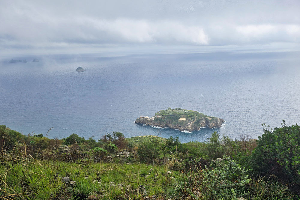
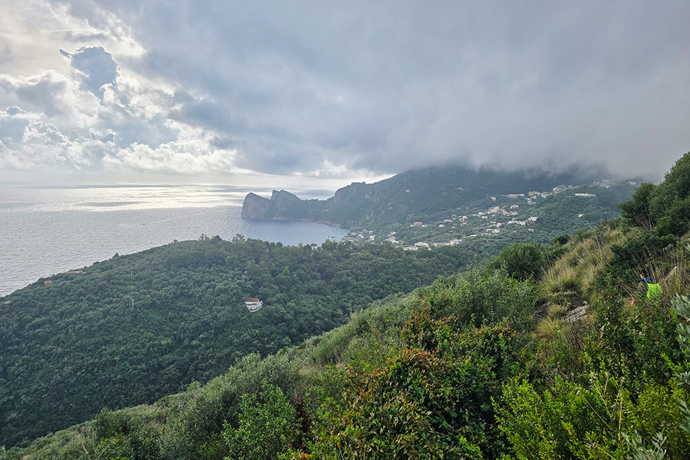
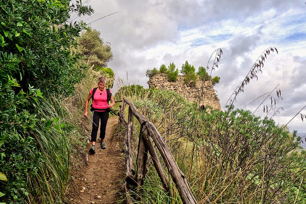
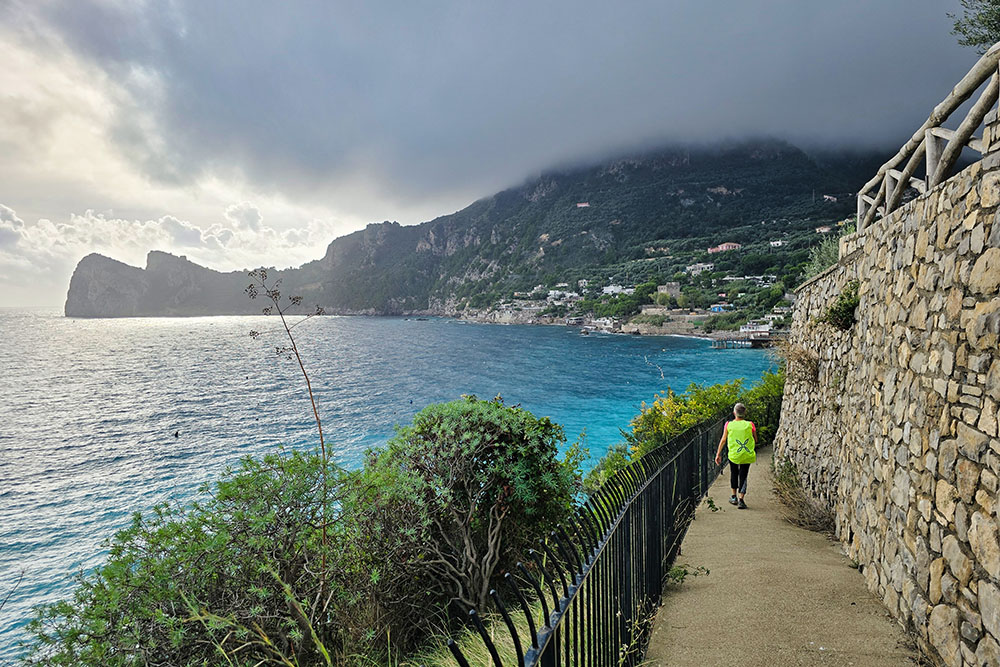
This fifth stage of the Amalfi Coast trek offers a predominantly naturalistic itinerary of great charm. It starts from the hinterland, from the hill hamlet of Colli di Fontanelle, immediately immersing oneself in panoramic trails that overlook the coast and offer wide views of the Li Galli Islands and the rocks dotting the sea. The final stretch, from Recommone Bay to Marina del Cantone beach, runs close to the coastline, allowing close contact with the crystal-clear sea.
The trails in this area are not maintained and frequented like the famous Path of the Gods or the Path of the Lemons. They retain a wilder and more authentic character: Mediterranean vegetation grows lushly and often invades the path, requiring hikers to have good navigation skills and some experience in progressing over uneven terrain. Some sections, particularly the steep descent towards Recommone Bay, present technical difficulties that make this route suitable for walkers with reasonable mountain experience and a good sense of balance; a trail for Experienced Hikers.
History and Curiosities
The name Colli di Fontanelle derives from the fact that, in past centuries, this ancient district was rich in water springs that subsequently dried up. The name evokes a rural landscape different from the current one, when the abundance of water favored agriculture and the small farming communities that had settled there.
The itinerary passes through the hamlet of Torca, a small town on the Sorrento Peninsula overlooking the Gulf of Salerno, facing the Li Galli Islands. The Church of San Tommaso Apostolo dates back to the 14th century and has a single nave, with a vault, dome, and apse. This village retains traces of its troubled history: on June 13, 1558, it suffered the most disastrous pirate raid on the peninsula, with the destruction of much of the town and the kidnapping of 103 people, equal to almost 40% of the population.
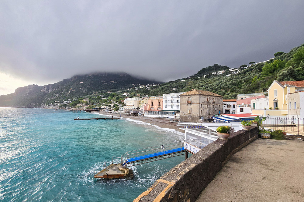
Recommone Bay, also called Conca del Sogno, contains a small beach of light pebbles and gravel, always sheltered from the winds.
Marina del Cantone is famous for its transparent waters and is one of the most beautiful and extensive beaches in the area, located between Ieranto Bay and Recommone Bay.
ITINERARY
Start from Colli di Fontanelle (345 m) with a slight climb. Near a hairpin turn, take the CAI trail 300 - Alta Via dei Monti Lattari - and begin the long traverse overlooking the sea. A steep descent is tackled, then continue with ups and downs with continuous views of the Li Galli Islands until the village of Torca, where the Church of San Tommaso Apostolo (353 m) is located in the small square.
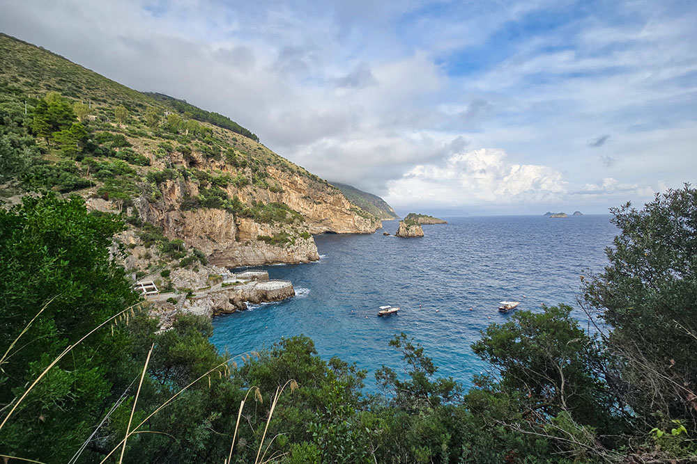
From here, take Via Nula, soon returning to a trail, and face a new descent. Ignore the deviation towards the Crapolla fjord and proceed at mid-slope with your gaze fixed on the Isca Rock. The trail gradually descends to Recommone Bay (2 m).
After crossing the small bay, take the scenic coastal trail that leads to Marina del Cantone (1 m). Finally, along secondary roads, climb quickly to the village of Nerano (170 m).
EXCURSION DATE
October 23, 2025
STARTING POINT
Colli di Fontanelle
REFRESHMENT POINT
In the inhabited centers and at Recommone bay.
AUTHOR’S SUGGESTIONS
If you do it in the hot seasons, bring plenty of water.
SAFETY ADVICE
The viability of the proposed itinerary, like all mountain morphology, is subject to environmental changes due to natural events and weather conditions. Therefore, before setting off, consult the relevant tourist offices and/or the reference mountain huts.
Our GPX tracks are only indicative, meaning the route was done to the best of our ability with the trail and weather conditions of that day. Therefore, always evaluate on site what to do.
Also remember to assess the route based on your physical abilities, training, and the equipment you have.
It is advisable to inform someone of the itinerary you intend to follow.
Remember that the emergency number is 112.
EQUIPMENT
It is recommended to have equipment suitable for the route, weather conditions, and season: windproof and/or rain jacket, map and/or GPS device, sunglasses, sunscreen, hiking boots, first aid kit, specific clothing, gloves, backpack with food and drinks.
RECOMMENDED MAPS
CAI, Monti Lattari. Penisola sorrentina. Costiera amalfitana. Isola di Capri. Trail map scale 1:25000
INTERESTING LINKS
https://www.altaviadeimontilattari.it/la-penisola-sorrentina/
HOW TO ARRIVE
From Vico Equense take SS145 to Piano di Sorrento. Here take SS163 and at San Pietro take SS145 to Colli di Fontanelle.
PARKING AREA
In Colli di Fontanelle, paid
GPS Coordinates: 40.613128, 14.407830
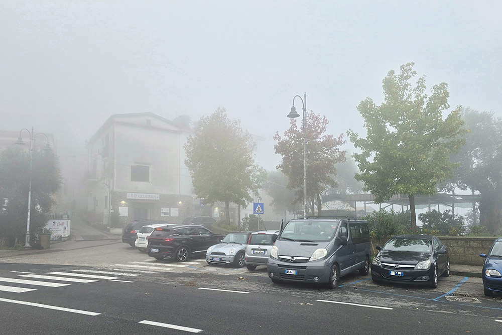
Parcheggio a Colli di Fontanelle
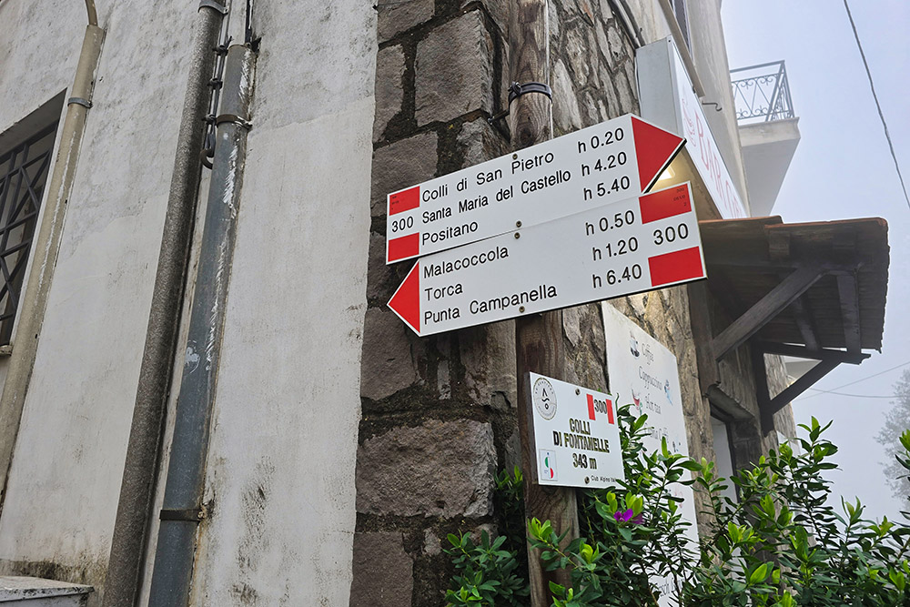
Imbocchiamo il segnavia 300
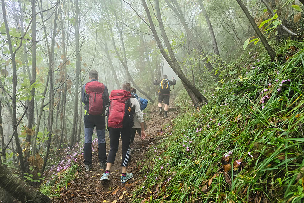
Tratto nel bosco
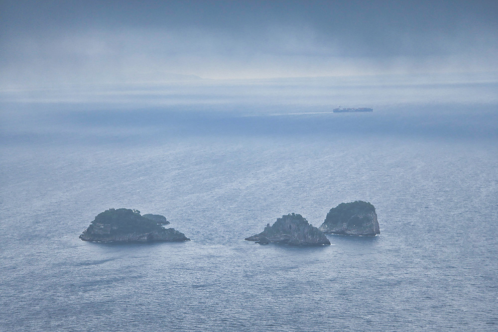
Le Isole Li Galli
Costeggiamo la costa
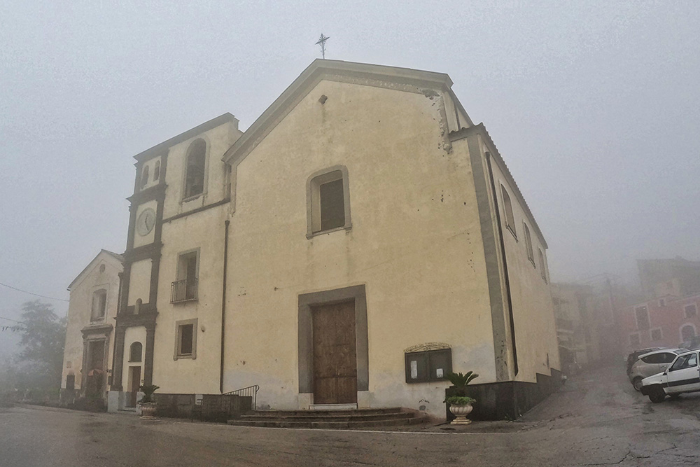
Chiesa di San Tommaso Apostolo di Torca
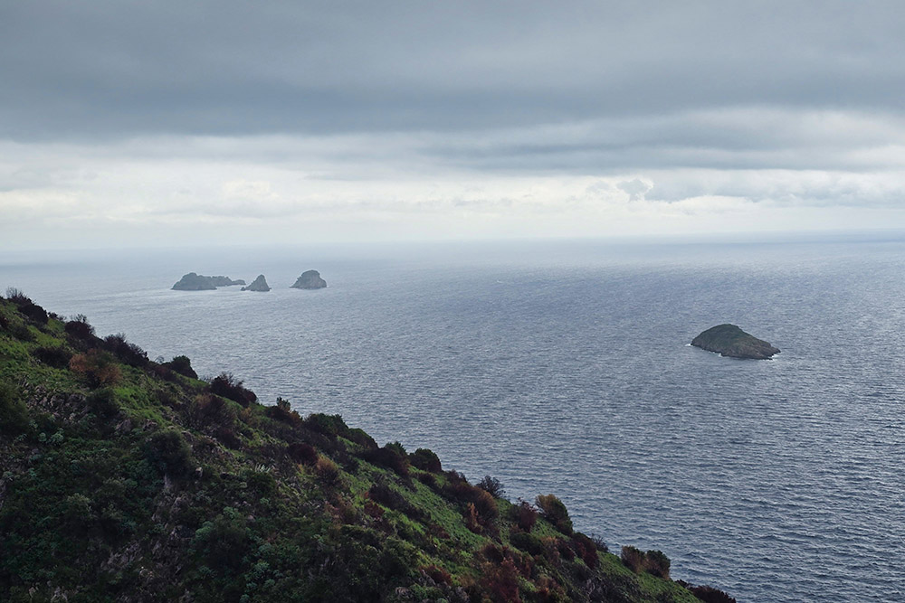
Le Isole Li Galli e lo Scoglio Vetara
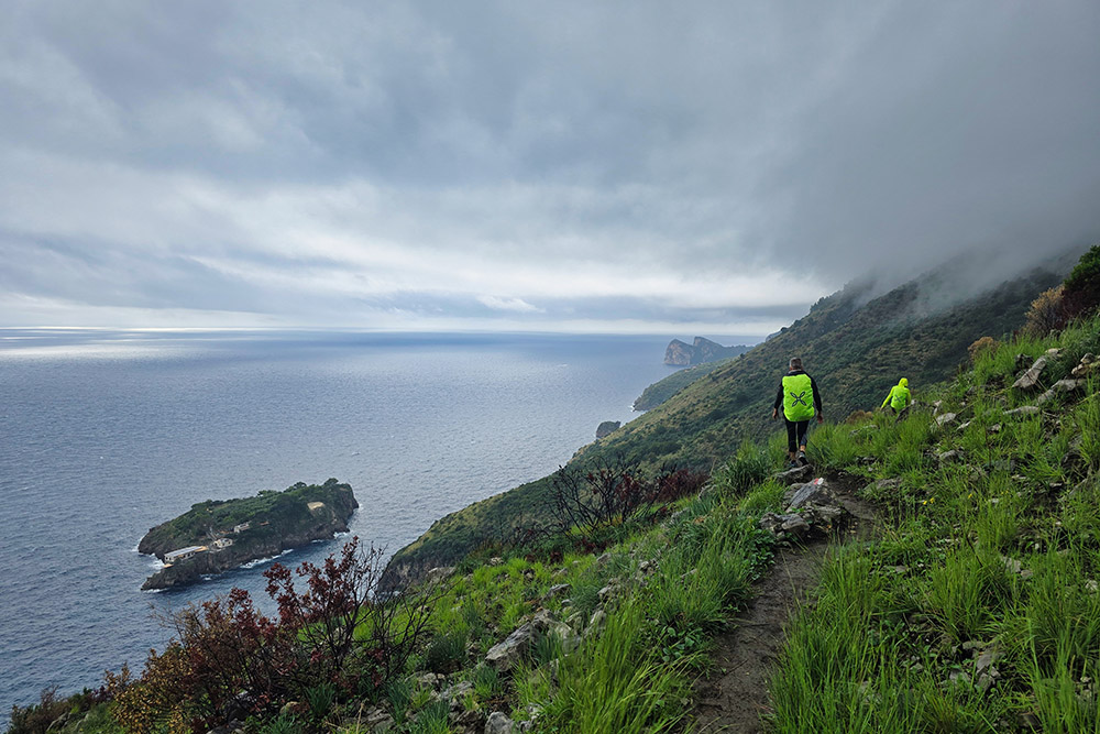
Purtroppo le nuvole sono basse
Lo Scoglio Isca
Ci dirigiamo verso la Spiaggia di Recommone
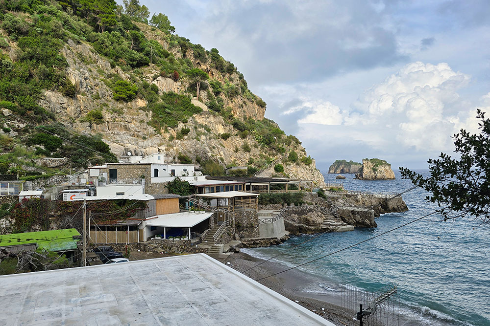
La Spiaggia di Recommone
La Spiaggia di Recommone
La Torre di Recommone
Verso Marina del Cantone
Arrivati a Marina del Cantone


