


![]()


Durata
 5:20 h
Distanza
 10,6 km
 Ascesa
 990 m
990 mDiscesa
 670 m
670 mH Max
 638 m
638 mH Min
 61 m
61 mAmalfi Coast: Pogerola - Bomerano #3
DESCRIPTION
From the enchantment of Pogerola to the gateway of the Sentiero degli Dei.
Geographical location
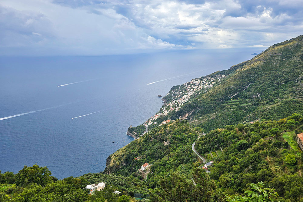
Pogerola is a hamlet of the municipality of Amalfi, located on the Amalfi Coast in the province of Salerno (Campania). The village sits on a plateau between 300 and 400 metres above sea level, on the northern slopes of the Monti Lattari. Compared to the municipal centre of Amalfi and its seafront, Pogerola occupies a dominant and elevated position to the north, thus offering a privileged vantage point over the gulf.
Hike
The Amalfi Coast is celebrated for its panoramic roads and sea-facing villages, but there is another dimension of this territory: quieter, more authentic and suspended in time, to be discovered exclusively on foot. The link between Pogerola and Bomerano represents a genuine vertical journey through the soul of the Monti Lattari, an experience that leads from the hanging garden of Amalfi to the gateway of the famous Sentiero degli Dei.
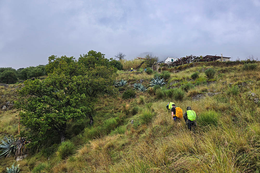
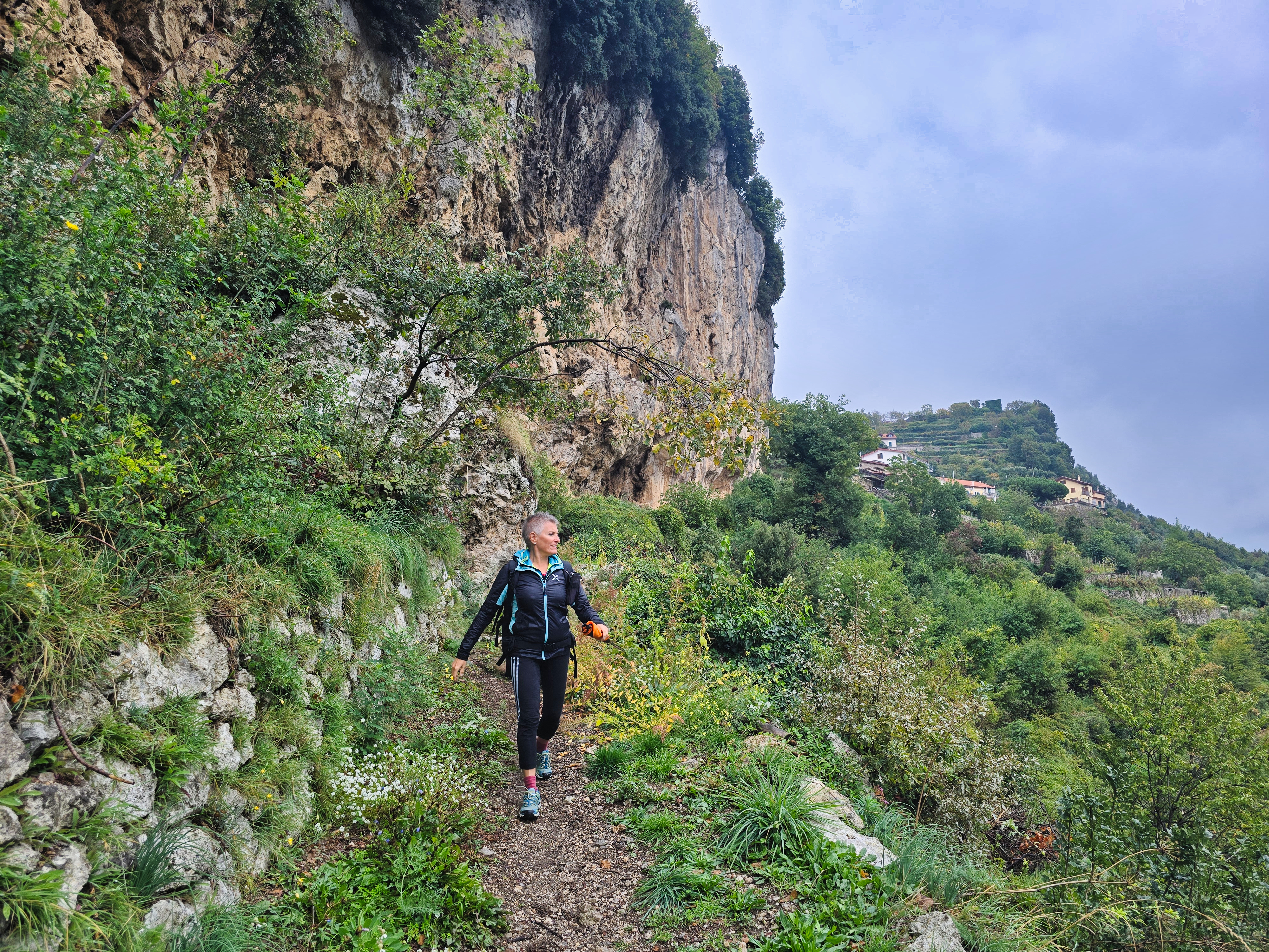
Leaving Pogerola — the flower-decked balcony that dominates the roofs and domes of Amalfi — means immersing oneself in a constantly transforming landscape. The village’s intimate atmosphere gradually gives way to a world of natural steps, ancient paved trails and deep tranquillity. The roar of the waves and traffic noise dissolve, replaced by the hum of bees, the intense scent of “sfusato” lemons and the whisper of wind through the maritime pines.
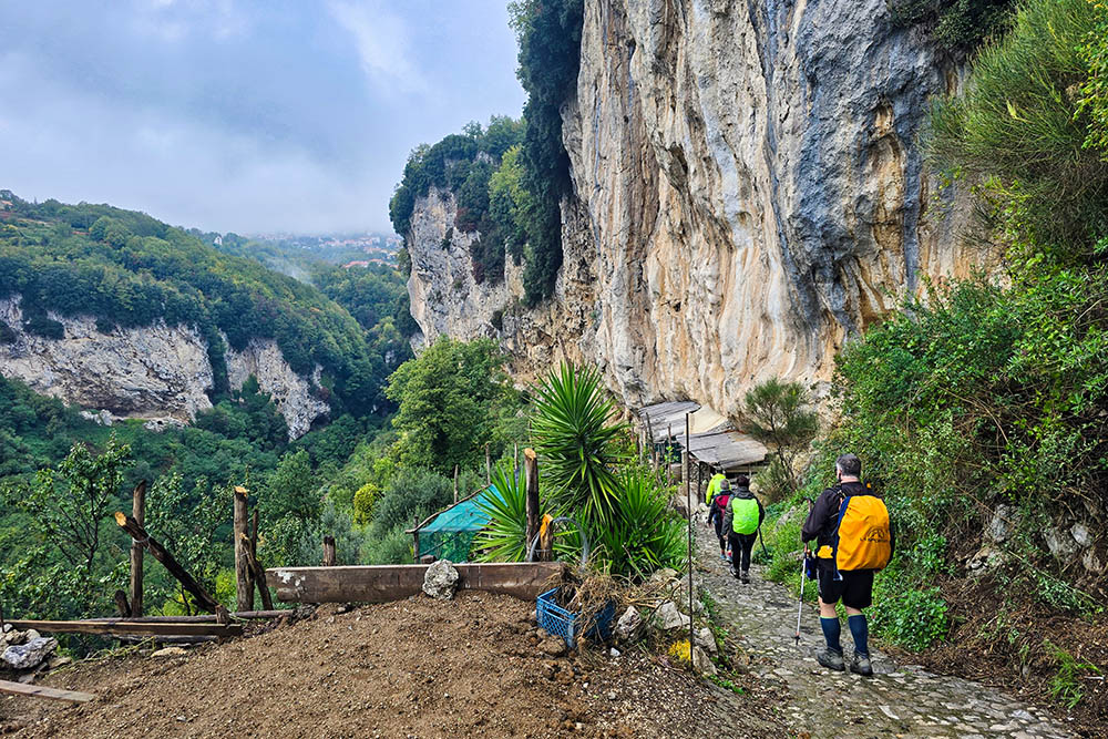
This walk is a continuous dialogue with the history and labour of a peasant civilisation that shaped the mountain for centuries. The route crosses fairy-tale chestnut woods, skirts majestic dry-stone walls supporting terraced gardens and vineyards, and meets small silent chapels, guardians of a simple and ancient devotion. Although the ascent is demanding in some stretches, it is accompanied by a natural context of great beauty.
From a technical point of view, the stage presents a positive elevation gain of 990 metres over a distance of 10.6 km, characteristics that make it suitable exclusively for well-trained and properly prepared hikers.
History and curiosities
Pogerola was a medieval defensive castle called Castrum Pigellula, located on Monte Falconcello in defence of Amalfi. The name “Pigellula” comes from a terracotta dish for bread, and evolved into “Pogerola” through history. Besides its military function, the village was also active in craft production, such as nails, and in 1711 founded a congregation of the Wool Guild.
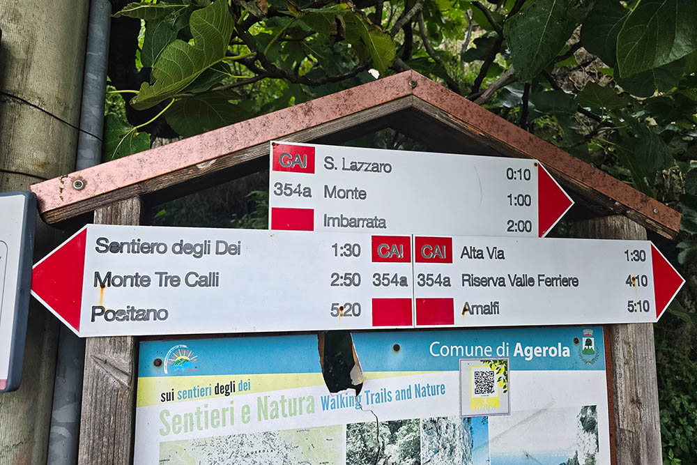
ITINERARY
The starting-point is the parking area of Pogerola (315 m). From here you descend along Via Sopramare until you reach the level of 61 metres, corresponding to the coastal area of Amalfi. At that point you pick up trail CAI 361, which passes through the hamlets of Lone (120 m) and Tovere (440 m). Once you reach Tovere, you continue on trail 361B and subsequently on 354A, which leads to Bomerano (638 m).
EXCURSION DATE
22 October 2025
STARTING POINT
Pogerola
REFRESHMENT POINT
Few and coinciding with the inhabited centres.
AUTHOR’S SUGGESTIONS
Download the GPX track, because in some sections the route is not signposted.
SAFETY ADVICE
The passability of the proposed itinerary, like all mountain morphology, is subject to environmental changes due to natural events and weather conditions. Therefore, before departure consult the relevant tourist offices and/or the mountain huts of reference.
Our GPX tracks are only indicative, i.e., the route was completed under the conditions of the paths and weather of that day. Therefore always evaluate on site what to do.
Also remember to assess the route based on your physical capabilities, training and the equipment you have.
It is advisable to leave your planned itinerary with someone.
Remember that the emergency number is 112.
EQUIPMENT
It is recommended to have equipment suitable for the route, the weather conditions and the season: windproof and/or rain jacket, map and/or GPS device, sunglasses, sunscreen, hiking boots, first-aid kit, specific clothing, gloves, backpack with food and drinks.
RECOMMENDED MAPS
CAI, Monti Lattari. Sorrento Peninsula. Amalfi Coast. Isle of Capri. Trail map scale 1:25 000.
HOW TO ARRIVE
From Salerno take the SS18. At Vietri sul Mare continue on the SS163. After Amalfi, at the junction, turn right towards Pogerola and climb up until you reach the parking area.
PARKING AREA
Free in Pogerola.
GPS coordinates: 40.637329, 14.591766
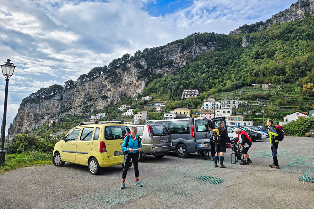
Parcheggio a Pogerola
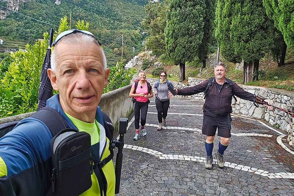
Si parte!
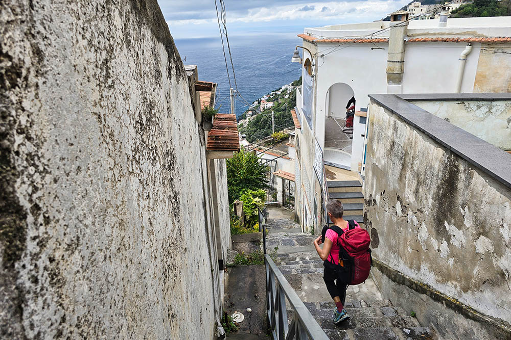
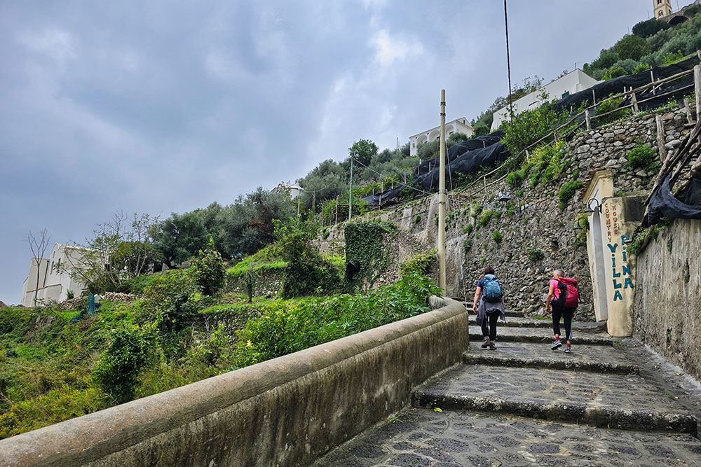
Si scende per la Via Sopramare
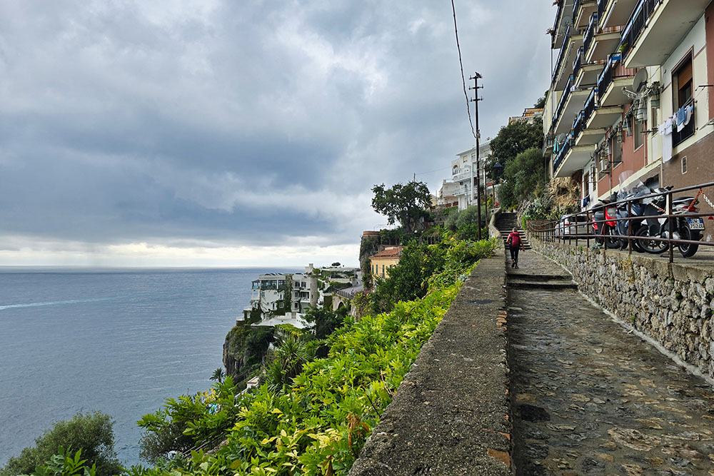
Percorriamo il sentiero CAI 361
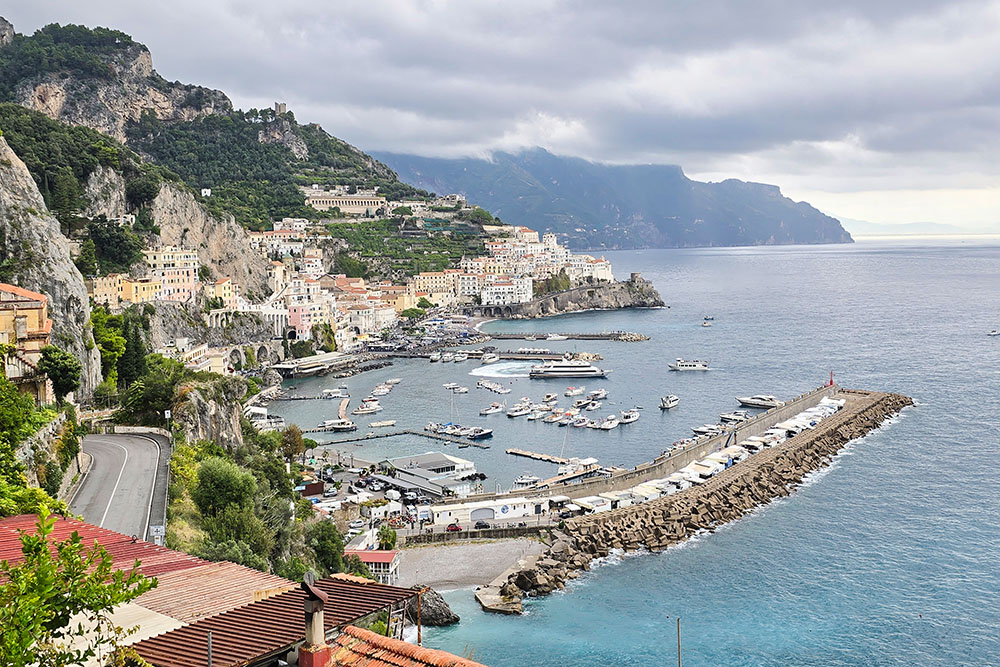
Vista su Amalfi
Si inizia a salire
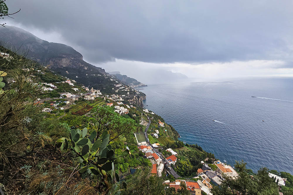
Vista sulla Costiera amalfitana verso Amalfi
Ci troviamo a Tovere
Andiamo a prendere il sentiero CAI 316B
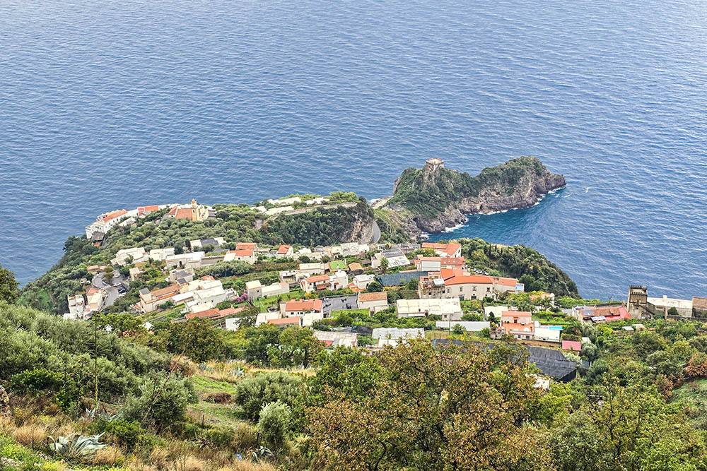
Conca dei Marini
Seguiamo il 354a
Siamo sopra il Fiordo di Furore
Scendiamo verso il torrente Schiato
Vista su Praiano da Furore
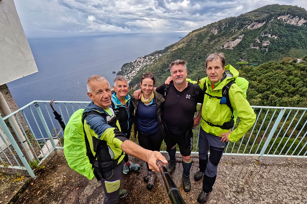
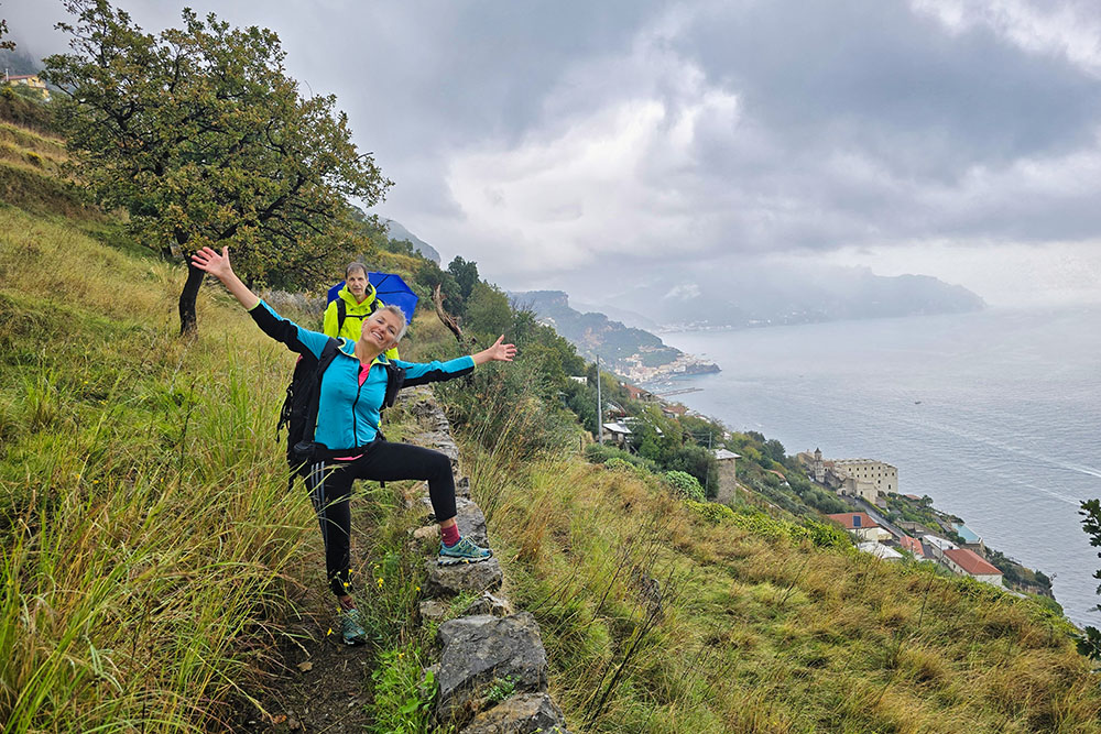
L'allegra compagnia


