


![]()


Durata
 6:00 h
Distanza
 38,3 km
 Ascesa
 1523 m
Discesa
 1523 m
H Max
 2462 m
H Min
 1427 m
Lavinores
DESCRIPTION
An itinerary combining cycling and hiking in the Regional Natural Park of the Dolomites of Ampezzo.
Geographical location
Lavinores, also known as Sas dla Para, is located in the heart of the Regional Natural Park of the Dolomites of Ampezzo, within the Croda Rossa Group. This peak, popular among ski mountaineers and hikers, offers an ideal trail for those seeking breathtaking views and a peaceful, less crowded natural environment.
Excursion
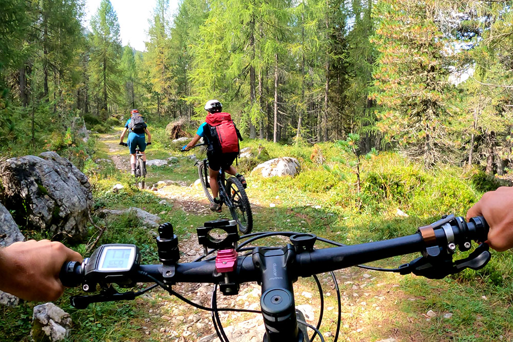
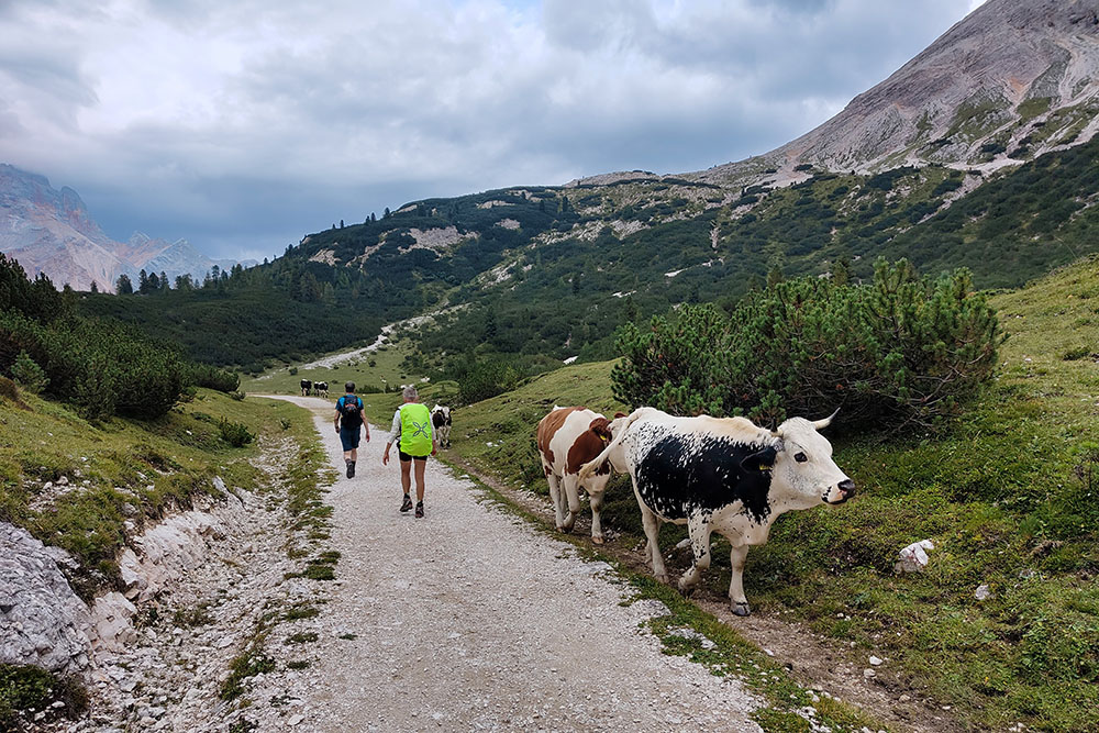
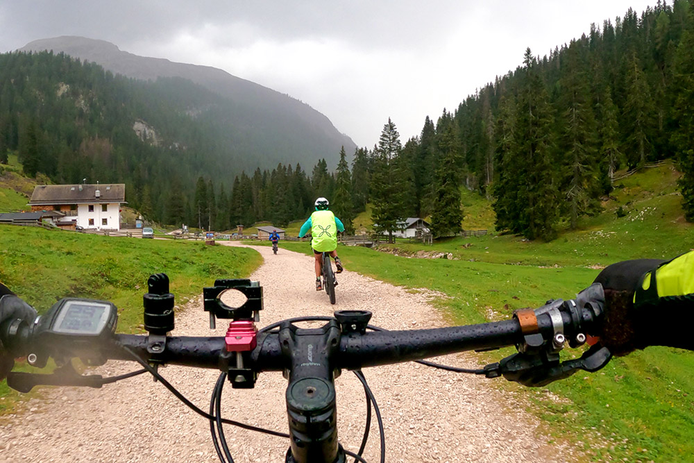
The proposed itinerary combines 33.5 km by e-MTB and 4.8 km on foot, creating a diverse experience of cycling and trekking. The first part of the route takes place on well-maintained cycle paths and gravel roads, perfect for cycling. The descent along the Military Road, classified as S1, runs along a mule track that requires greater technical skills but remains accessible to moderately experienced cyclists.
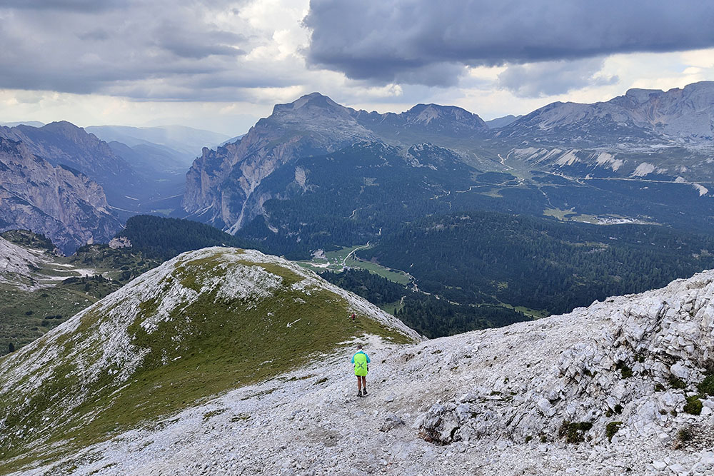
Once the bicycles are left, the ascent on foot presents no particular technical difficulties. However, during the traverse and descent from the peak, some sections of scree and slippery rocks require extra caution. Reaching the summit of Lavinores (2,462 m) opens up a spectacular view of the surrounding Dolomites, with sights ranging from the Ampezzo Dolomites Natural Park to the Fanes-Sennes-Braies Natural Park. The panorama includes the imposing Tofane, Croda Rossa d'Ampezzo, and Croda del Becco, offering an unforgettable visual experience.
Despite its imposing appearance, Lavinores is characterized by relatively gentle slopes, making it suitable for hikers of medium level. Its isolated and less frequented location compared to other Dolomitic peaks provides an atmosphere of tranquility and contemplation, perfect for those who want to immerse themselves in nature without the distractions of more crowded destinations.
ITINERARY
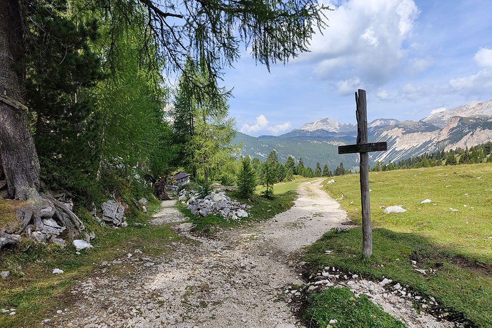
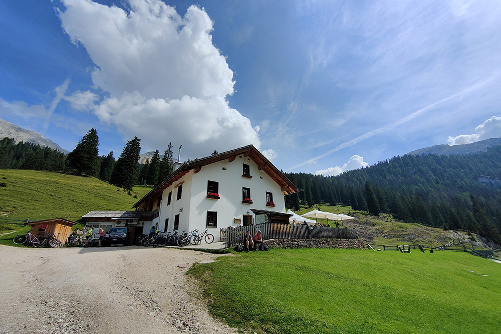
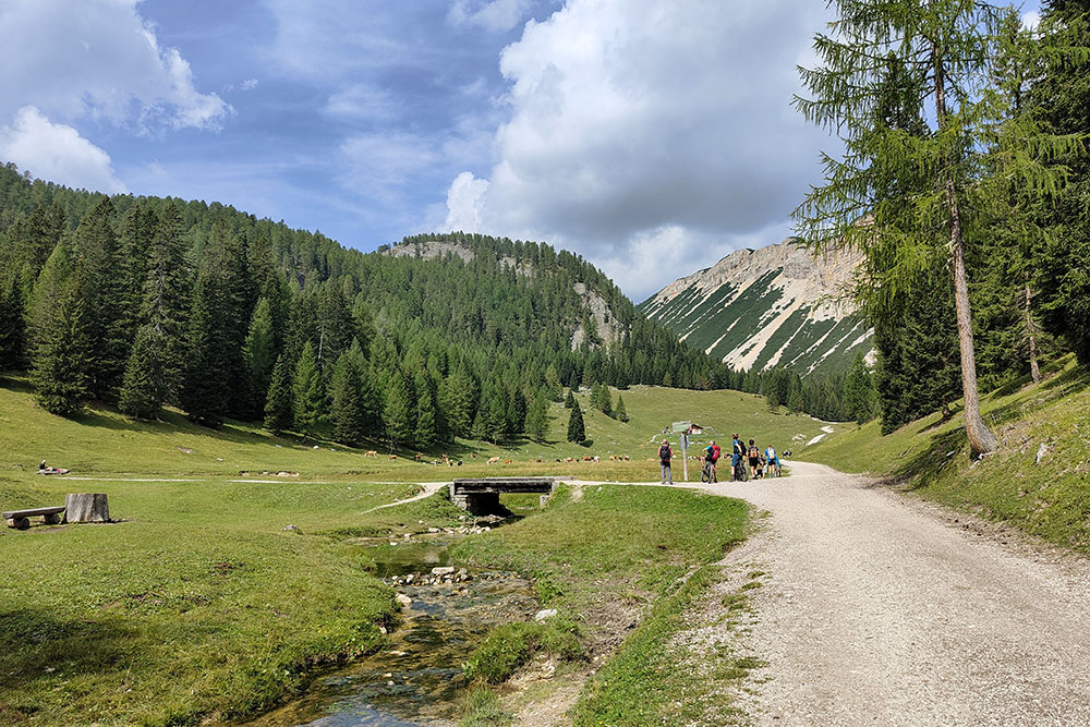
The journey begins in Carbonin (1,432 m) with the e-MTB, following the cycle path towards Cortina d’Ampezzo. After passing Passo Cimabanche (1,529 m) and covering about 1.3 km, you leave the cycle path, cross the SS51, and reach the Lago Bianco (1,515 m). From here, you ascend a gravel road following trail marker 8, crossing the Forcella de Lerosa (2,020 m), and descend along a military road to Malga Ra Stua Mountain Hut (1,688 m). Continue on a dirt road following trail markers 6 and 9 until you reach Lago di Rudo (1,990 m), where you leave the bicycles. The hike continues, skirting the lake on the left and ascending to the Lavinores - Sas dla Para summit (2,462 m). The circular route descends towards Fodara Vedla Mountain Hut, and after reaching the dirt road, you return to the lake to retrieve the bikes for the descent back to Malga Ra Stua Mountain Hut and S. Uberto Parking Area (1,427 m). Turn left onto a dirt road that connects to the cycle path, which leads back to Carbonin.
EXCURSION DATE
1 September 2024
STARTING POINT
Carbonin
REFRESHMENT POINT
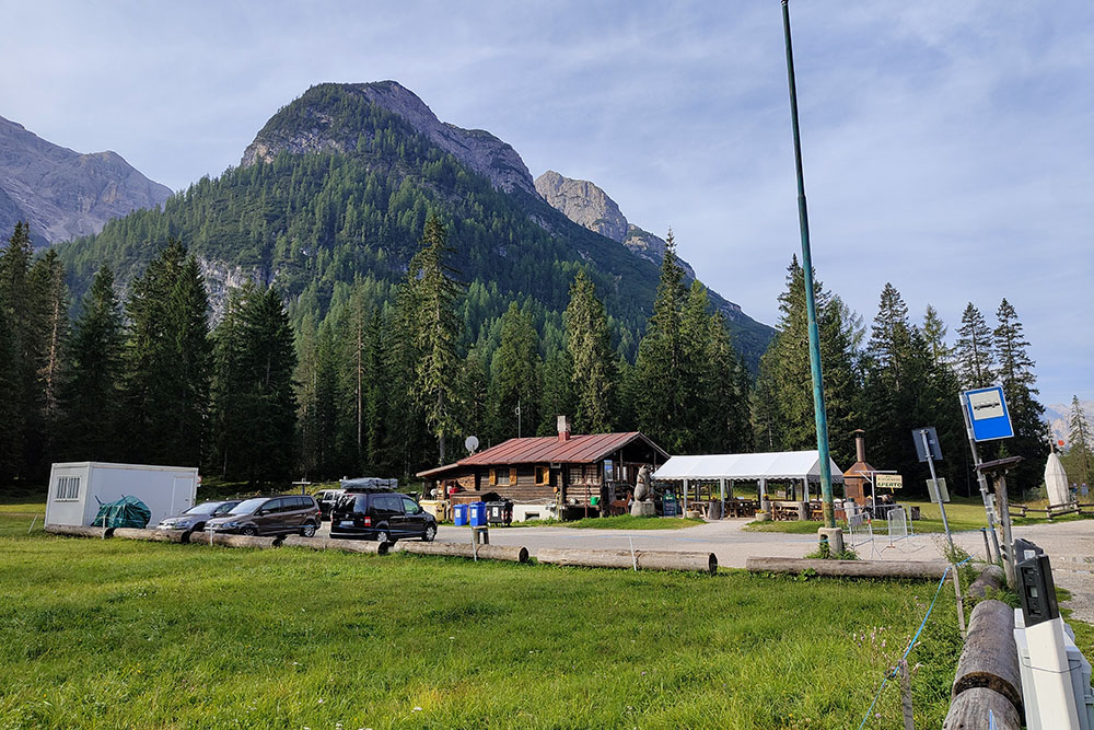
Malga Ra Stua Mountain Hut
AUTHOR’S SUGGESTIONS
Those wishing to avoid the Military Road, classified as S1, can safely descend along the regular road.
SAFETY TIPS
The passability of the proposed itinerary, like all mountain terrain, is subject to environmental changes due to natural events and weather conditions. Therefore, before departing, consult the relevant tourist offices and/or mountain huts.
Our GPX tracks are only indicative, meaning the route was completed under the best possible conditions for the trails and weather on the day. Always assess the situation locally before proceeding.
Additionally, remember to evaluate the route according to your physical abilities, training, and equipment. It is advisable to inform someone of your intended route.
Remember, the emergency number is 112.
EQUIPMENT
It is recommended to have the proper equipment for the route, weather conditions, and season: bike helmet, windproof and/or rain jacket, map and/or GPS device, sunglasses, sunscreen, hiking boots, first aid kit, specialized clothing, gloves, backpack with food and drinks.
RECOMMENDED MAPS
Tabacco 03 Cortina d'Ampezzo - Ampezzo Dolomites
INTERESTING LINKS
Malga Ra Stua Mountain Hut
HOW TO ARRIVE
From Dobbiaco, take the SS51 Alemagna. Pass Lago di Dobbiaco and Lago di Landro and reach Carbonin, about 13 km away.
PARKING AREA
Carbonin
GPS Coordinates: 46.620050, 12.219295
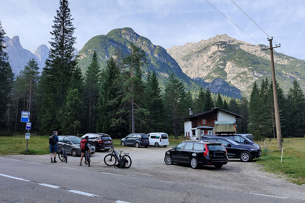
Parcheggio a Carbonin
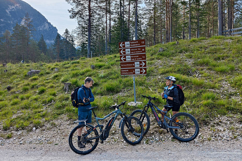
Sulla pista ciclabile per Cortina d'Ampezzo
Passo Cimabanche
Località Lago Bianco
Bivio per la Strada militare
Si scende per la Strada militare
Rifugio Malga Ra Stua
Bivio, si segue il segnavia 9
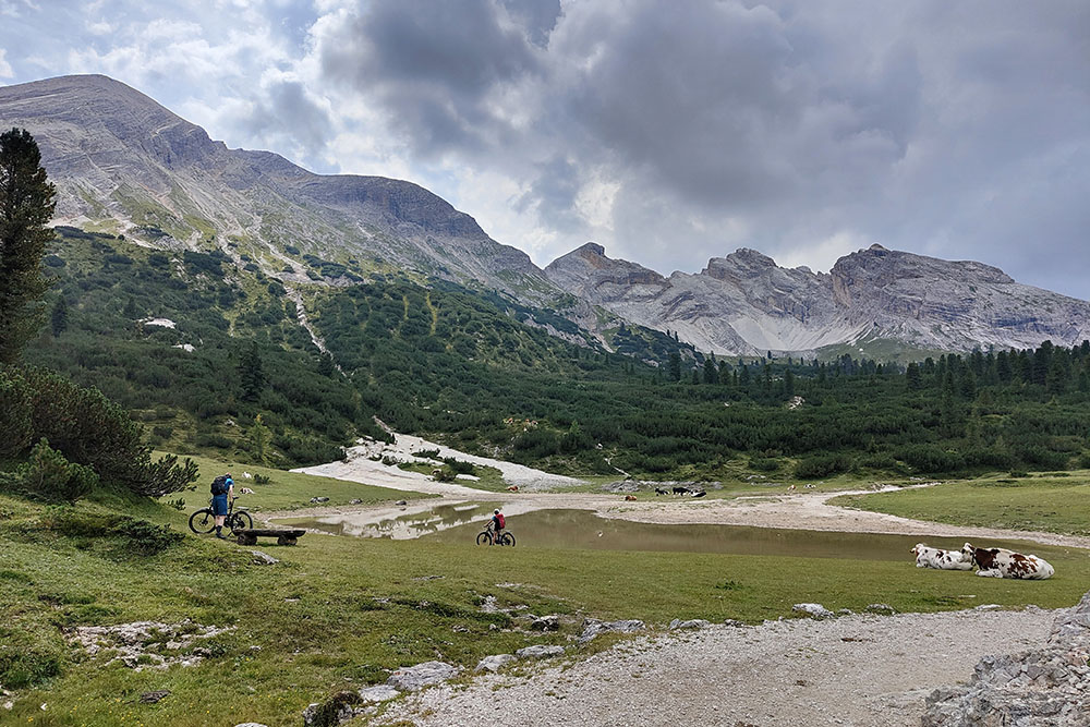
Arrivati al Lago di Rudo
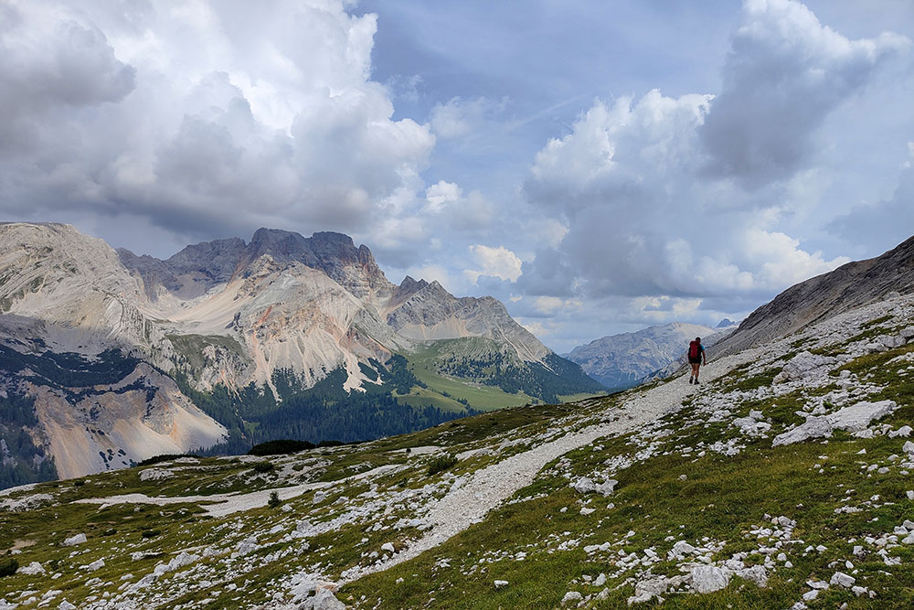
Si sale sul versante est
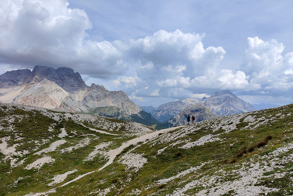
Magnifici panorami
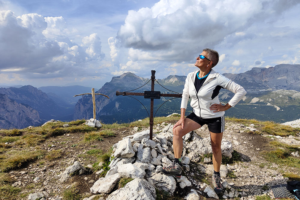
In vetta al Monte Lavinores
Si scende dal versante ovest
Si ritorna al Lago di Rudo
Si scende in MTB al Rifugio Malga Ra Stua


