


![]()


Durata
 6:05 h
Distanza
 14,1 km
 Ascesa
 1092 m
Discesa
 1092 m
H Max
 2401 m
H Min
 1570 m
Venegiota Peak from Passo Valles
DESCRIPTION
Across the grassy ridges of the Pale: traverse of Valles, Lago, Caladora, and Venegiota peaks.
Geographical Location
The itinerary unfolds entirely within the Pale di San Martino group, the largest mountain complex in the Dolomites, covering about 240 km². This majestic range straddles eastern Trentino and Veneto, characterized by imposing rock walls, karst plateaus, and rich biodiversity.
Hike
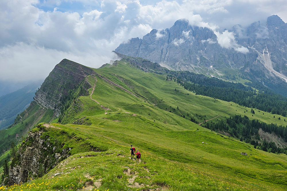
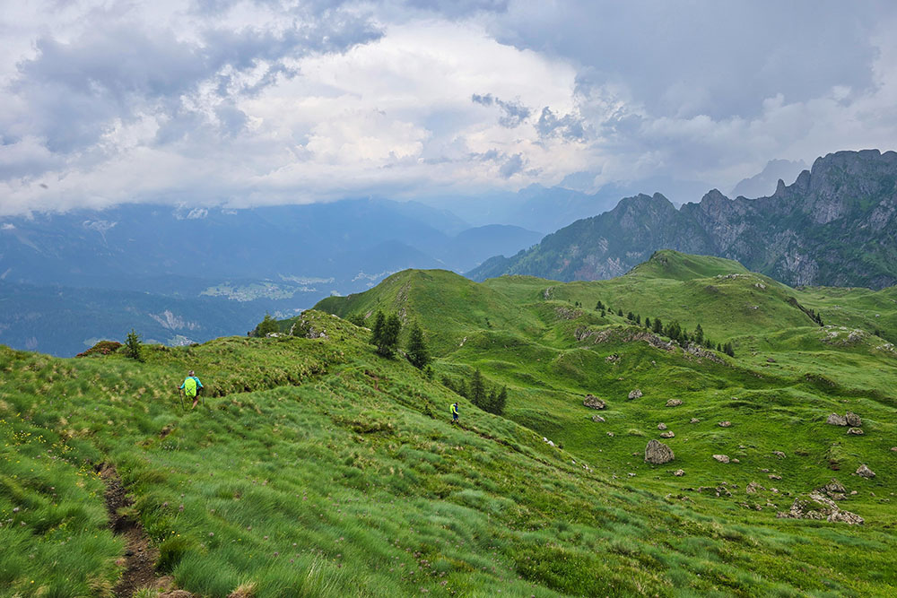
At the northern edge of the Pale di San Martino, a long grassy ridge stretches from Passo Valles up to the shoulder of Monte Mulaz, culminating in the elegant peaks of Valles, Lago, Caladora, and Venegiota. This natural divide separates the stunning Venegia Valley from Val Biois, creating a mountain environment of rare beauty.
Despite the proximity to the group’s massive rocky giants, these peaks have surprisingly gentle shapes, featuring mostly grassy ridges that contrast magnificently with the surrounding rugged cliffs. These summits form a splendid panoramic balcony overlooking the entire northern side of the Pale.
The route, while not technically difficult, requires good mountain experience as the paths to the summits are not always clearly marked. It’s perfect for those seeking an authentic trekking day away from mass tourism routes.
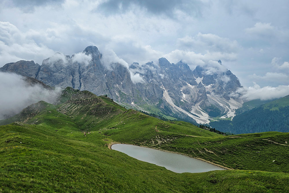
The extraordinary views from the peaks range from the grand rocky wall of Mulaz to the elegant silhouette of Cimon della Pala, nicknamed the Matterhorn of the Dolomites for its distinctive pyramidal shape. The hike also offers a unique aerial perspective of Venegia Valley, leaving unforgettable memories.
History and Curiosities
The Pale di San Martino were the stage for early 19th-century alpine explorations and later served as strategic outposts during World War I.
ITINERARY
From Passo Valles (2032 m), take Trail 751 to Forcella Venegia (2217 m). Here, leave the marked trail and follow an unnumbered path up to Cima Valles (2305 m).
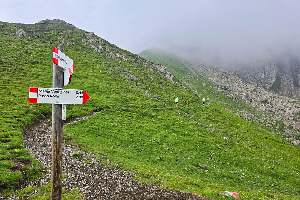
After summiting, return to Forcella Venegia and continue east on Trail 751. The route follows unmarked paths to Cima del Lago (2301 m) and Caladora (2313 m), reaching Passo Venegiota (2303 m), from where you ascend to Cima Venegiota (2401 m).
From Passo Venegiota, take Trail 753 to Passo dei Fochet (2291 m). From here, descend via Trail 774 to Bottari Mountain Hut (1573 m).
Return to Passo Valles via the High Shepherds’ Path, passing Malga Valles Alto (1885 m).
EXCURSION DATE
July 5, 2025
STARTING POINT
Passo Valles
REFRESHMENT POINT
None
AUTHOR’S SUGGESTIONS
Hike the route counterclockwise.
SAFETY TIPS
Trail conditions, like all mountain terrain, are subject to environmental changes and weather. Check with local tourist offices or mountain huts before setting out.
Our GPX tracks are only indicative—conditions may vary. Always assess the situation on-site.
Choose the hike according to your fitness level, experience, and equipment.
Inform someone about your planned route.
Emergency number: 112.
EQUIPMENT
Wind/rain jacket, map/GPS, sunglasses, sunscreen, hiking boots, first-aid kit, appropriate clothing, gloves, backpack with food and water.
RECOMMENDED MAPS
Tabacco 022 PALE DI SAN MARTINO 1:25,000
INTERESTING LINKS
https://www.passovalles.com/
HOW TO ARRIVE
Take SS48 to Predazzo, then SS50 toward Passo Rolle – Passo Valles, and finally SP81 to Passo Valles.
PARKING AREA
Free parking at Passo Valles
GPS coordinates: 46.338458, 11.800812
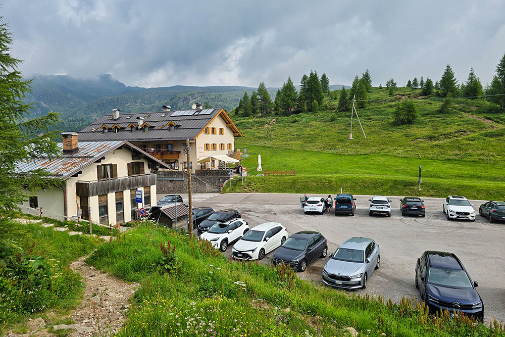
Parcheggio a Passo Valles
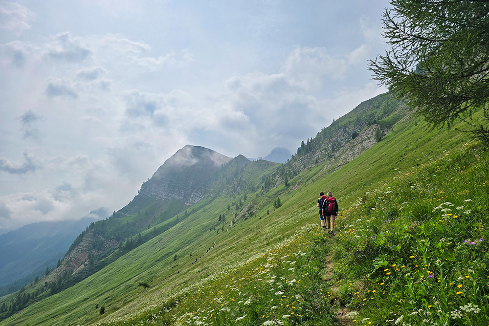
Si sale per il sentiero 751
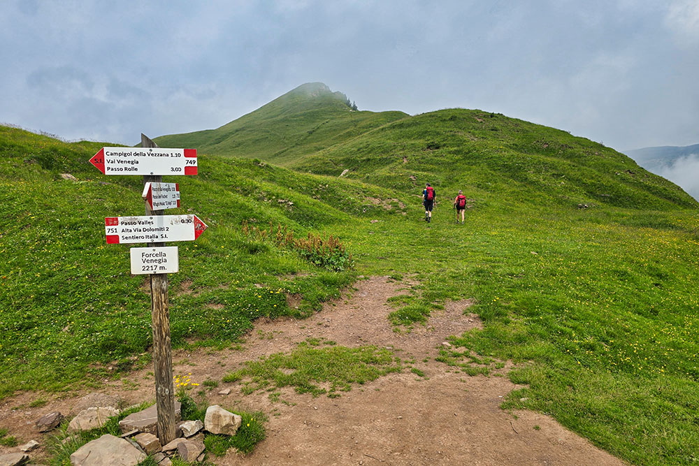
Forcella Venegia
Cima Valles
Si prosegue in cresta
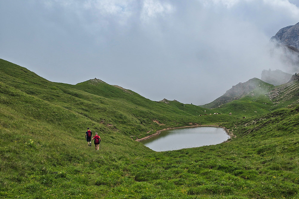
Si sale alla Cima del Lago
Le Pale di San Martino
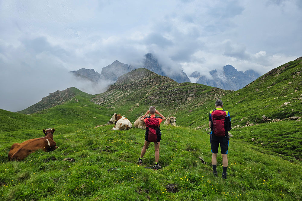
Mucche all'alpeggio
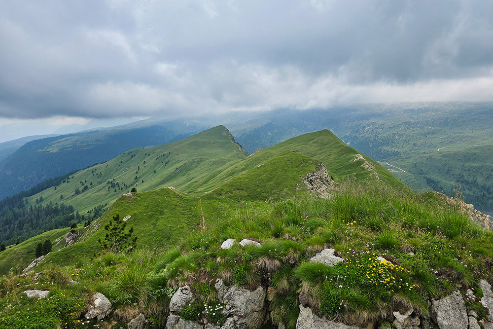
Cima Valles e Cima del Lago viste dalla Cima Caladora
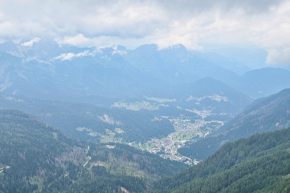
Vista Verso Falcade
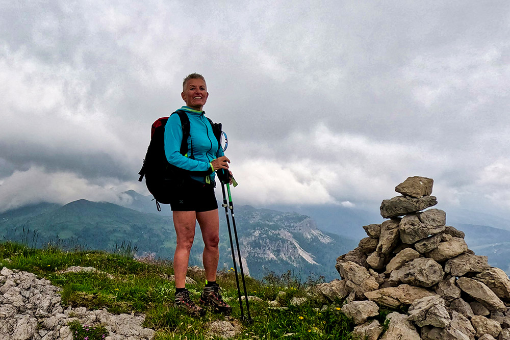
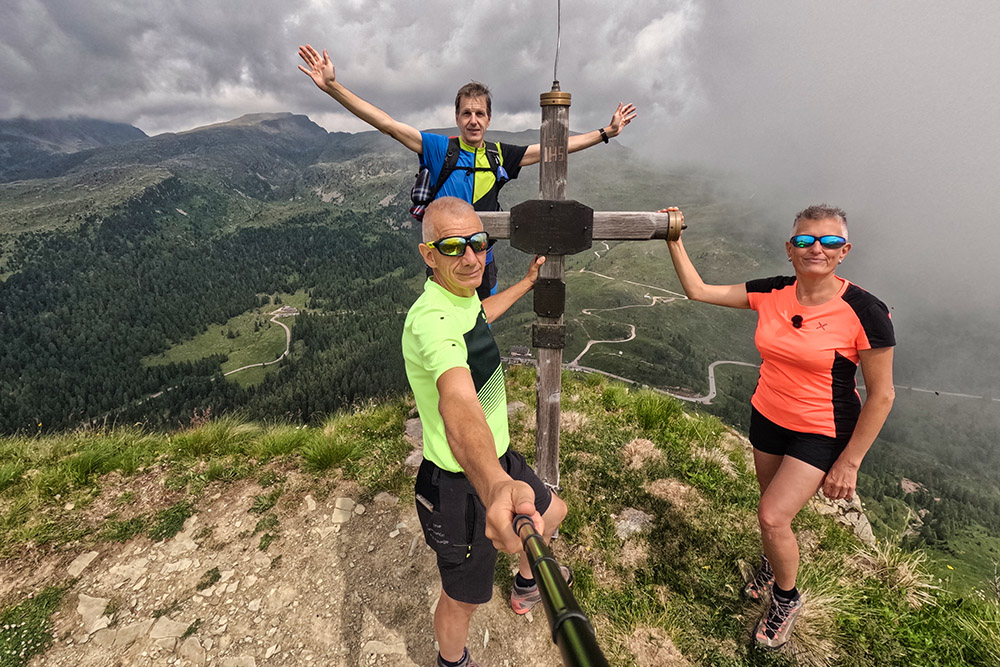
Cima Venegiota
Forcella Venegiota
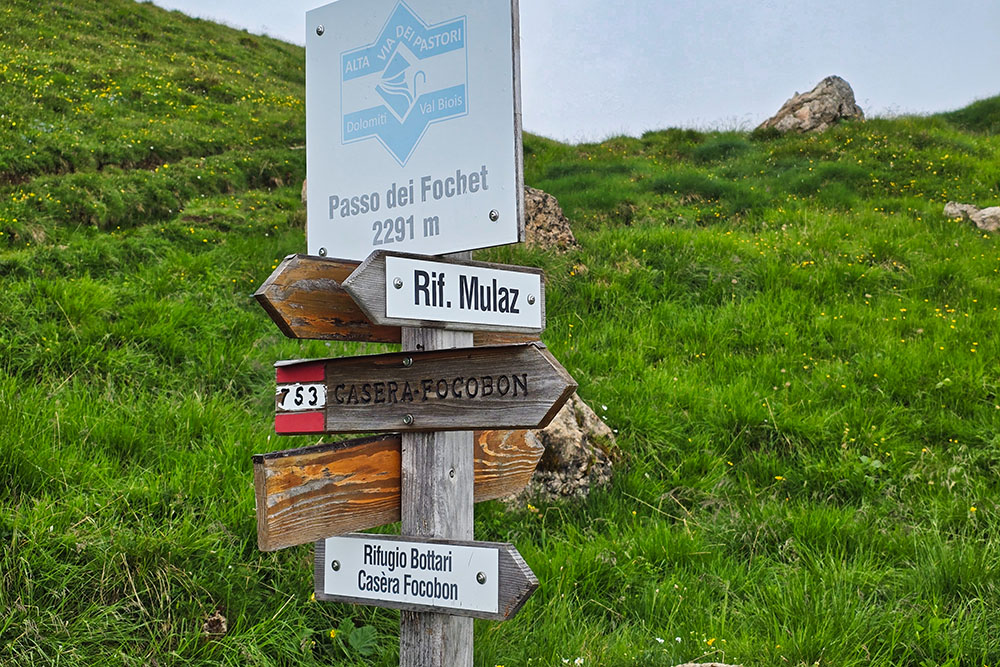
Passo dei Fochet
Si scende per il sentiero 753
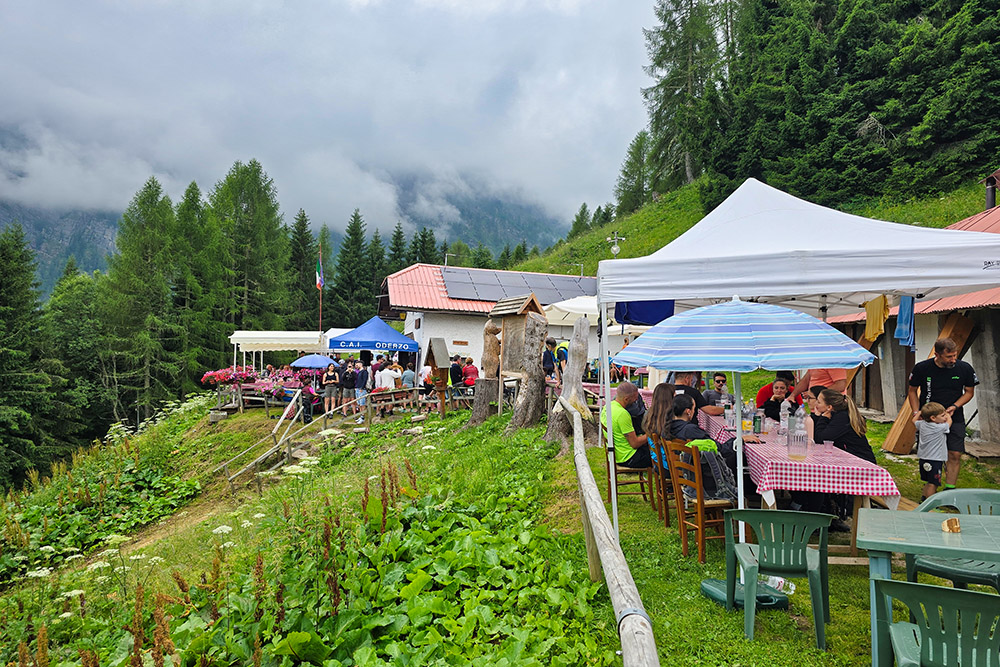
Il Rifugio Bottari


