


![]()


Durata
 4:50 h
Distanza
 35,0 km
 Ascesa
 1086 m
Discesa
 1086 m
H Max
 2130 m
H Min
 1386 m
MTB Corvara, Armentara Meadows, and La Crusc
DESCRIPTION
From the Armentara Meadows to the Church of Santa Croce: a scenic itinerary through the Dolomites.
Geographical Location
Val Badia is a valley in South Tyrol that stretches along the course of the Gadera River, with a predominantly Ladin population. This valley, a transverse tributary of the Val Pusteria, extends in a north-south direction. The Armentara Meadows, renowned for their natural beauty, are located between the villages of La Val and Badia, at the foot of the majestic Sasso di Santa Croce. This pristine area is part of the Fanes-Senes-Braies Natural Park, a protected area that hosts extraordinary biodiversity and unique landscapes.
Excursion
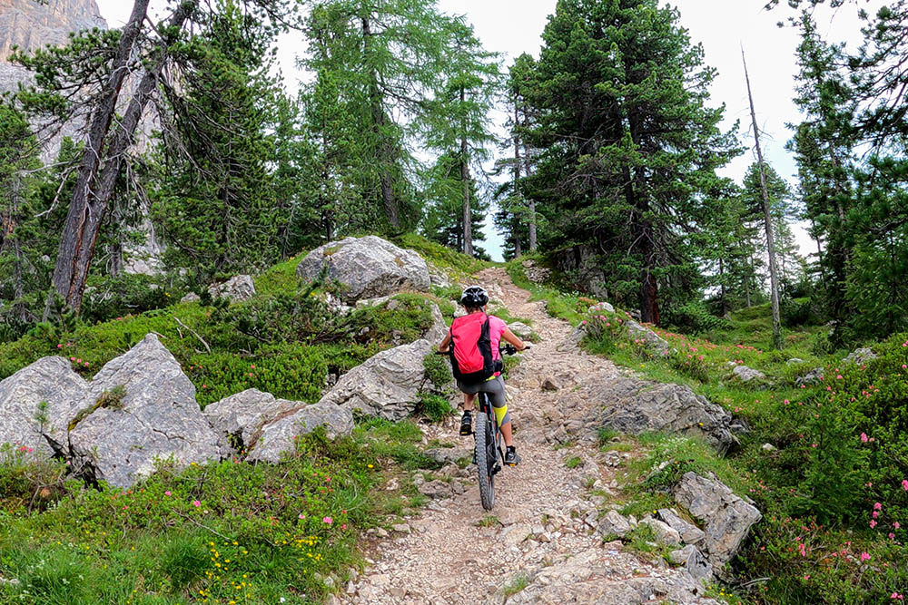
The route we propose starts in Corvara and mainly traverses the vast Armentara Meadows, known for their lush alpine pastures and spectacular views of the Dolomites. This itinerary is recommended for experienced bikers, as it includes sections with S2 difficulty, requiring a high level of physical fitness and technical riding skills. The ascent towards the Church of Santa Croce, situated in a panoramic position, is particularly challenging, and in some points, it may be necessary to push the bike. However, the effort is well rewarded by the views along the route and the picturesque setting of the Armentara Meadows.
History
The Church of Santa Croce, perched at 2,045 meters at the foot of the mountain of the same name in the Fanes-Senes-Braies Natural Park, has a history dating back to 1,484 when it was built at the behest of Count Volkhold of San Lorenzo di Sebato. Consecrated in the same year by Bishop Konrad of Bressanone, the church, locally known as La Crusc, quickly became a pilgrimage site. In 1,650, the structure was expanded in Rococo style, enriched with a bell tower, frescoes, and a statue of Jesus, works that continue to enchant visitors today. In 1,718, a hospice was built next to the sanctuary to accommodate pilgrims, which has now been transformed into a mountain hut. The entire area is steeped in spirituality and history, offering visitors not only a cultural experience but also a place of reflection immersed in nature.
ITINERARY
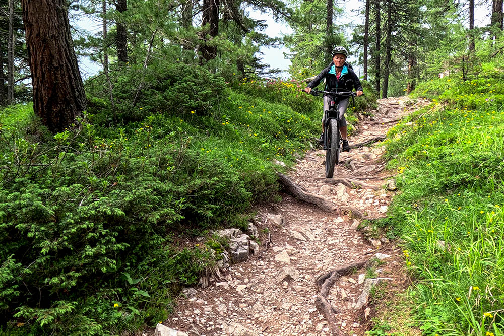
From Corvara in Badia (1,525 m), take the cycle path to La Villa (1,386 m). Here, leave the cycle path, climb a bit, and stay level until reaching Furnacia (1,565 m). Then, ascend to the Furnacia Parking Area (1,723 m) and proceed to the Armentara Meadows (1,840 m). Continue on the dirt road to Plan de Sossas (2,013 m). Now begins the uphill trail with S2 sections leading to the Santa Croce Sanctuary (2,045 m). Follow trail marker 15, with S2 sections downhill, arriving in San Cassiano (1,540 m). Descend to La Villa following trail marker 11 and return to Corvara on the cycle path.
EXCURSION DATE
July 17, 2024
STARTING POINT
Corvara in Badia
REFRESHMENT POINT
Rifugio Santa Croce (2,045 m)
AUTHOR’S SUGGESTIONS
Take the tour clockwise.
SAFETY TIPS
The viability of the proposed itinerary, like all mountainous terrain, is subject to environmental changes due to natural events and weather conditions. Therefore, before starting, consult the relevant tourist offices and/or mountain huts.
Our GPX tracks are only indicative, meaning the route was taken under the best trail and weather conditions of that day. So always assess the situation on-site.
Also, remember to evaluate the route based on your physical abilities, fitness level, and available equipment.
For e-bike owners: carefully assess the distance and elevation gain in relation to battery power and rider weight.
It is advisable to inform someone about the itinerary you intend to take.
Remember that the emergency number is 112.
EQUIPMENT
We recommend having appropriate gear for the route, weather conditions, and season: helmet, windproof and/or rain jacket, map and/or GPS device, sunglasses, helmet and/or handlebar light (an unexpected event can extend travel time), sunscreen, MTB shoes, first aid kit, bike repair kit, specific clothing, whistle or signaling bell, bike wheel reflectors, gloves, backpack with food and drinks.
RECOMMENDED MAPS
Tabacco 07 Alta Badia - Arabba - Marmolada
USEFUL LINKS
https://www.altabadia.org/it/alta-badia-dolomiti.html
HOW TO ARRIVE
A22 Bressanone Nord exit. Take the SS49 of the Pusteria Valley and in San Lorenzo di Sebato turn right onto the SS244 towards Val Badia/Gadertal until you reach Corvara in Badia.
PARKING AREA
Parking area near the Ice Rink - Corvara in Badia, paid.
GPS Coordinates: 46.550279, 11.870876
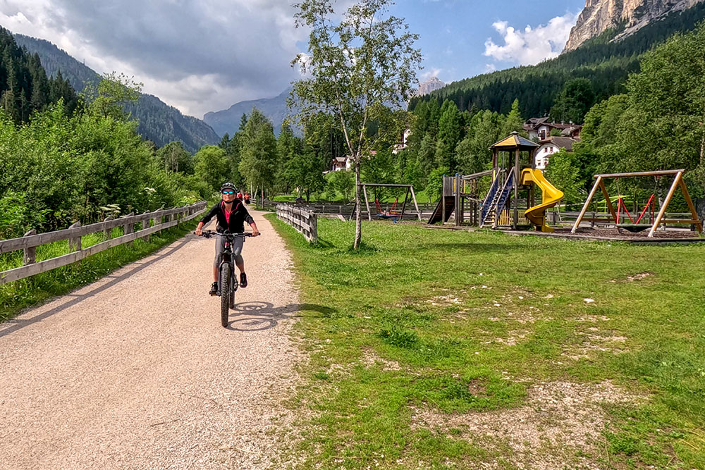
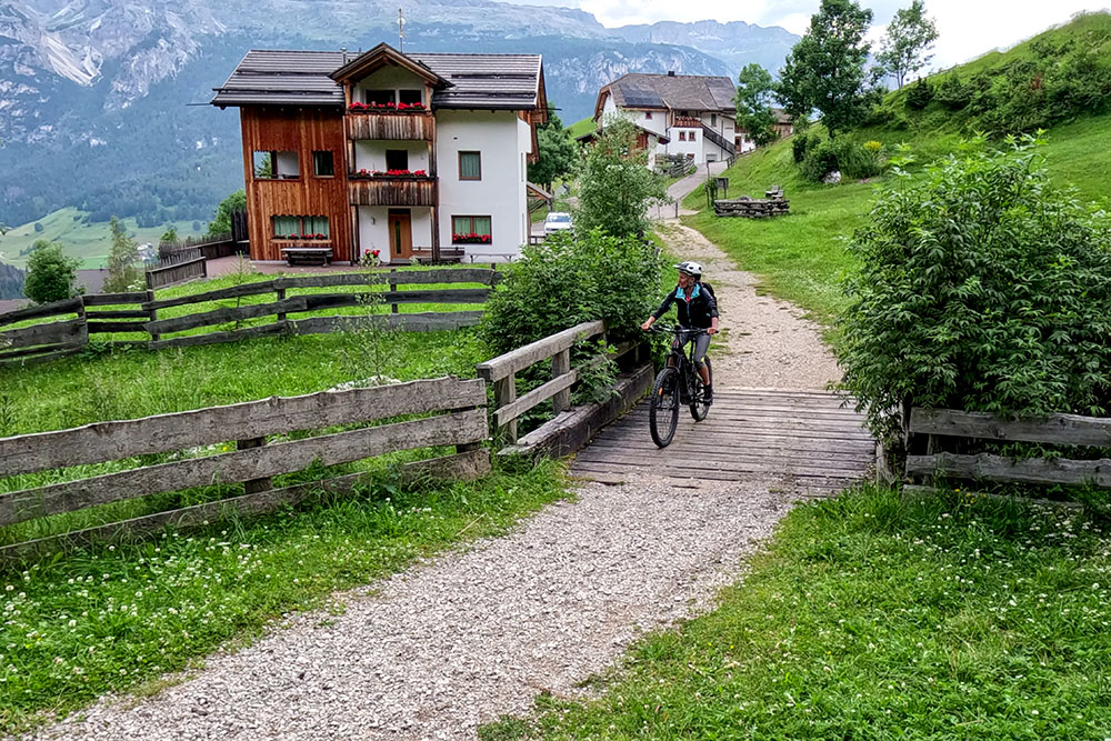
Sulla ciclabile della Val Badia
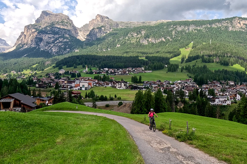
A La Villa abbiamo abbandonato la ciclabile
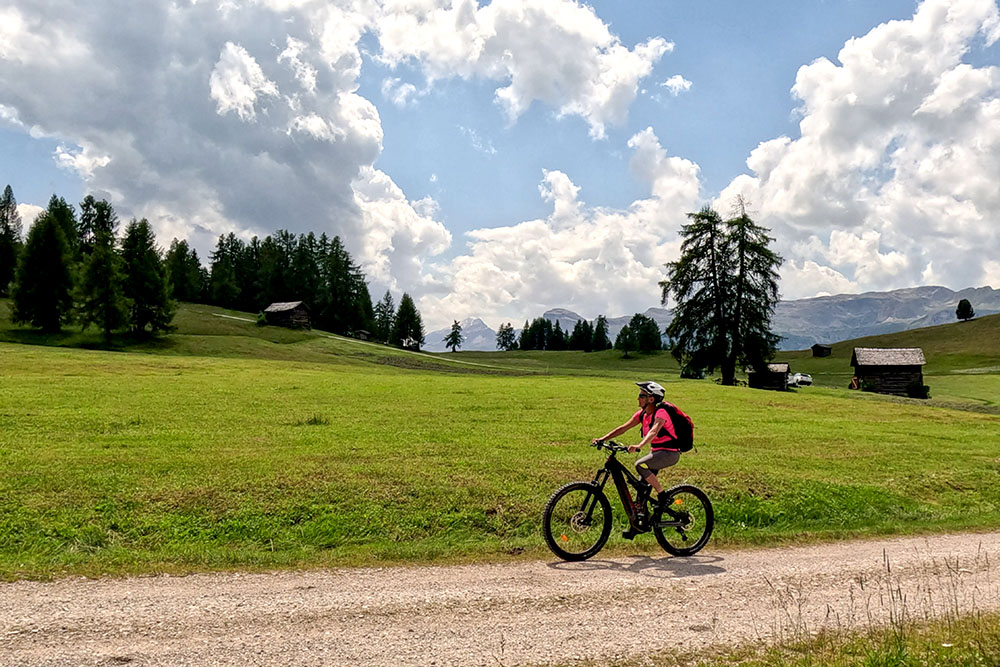
Si va verso Furnacia
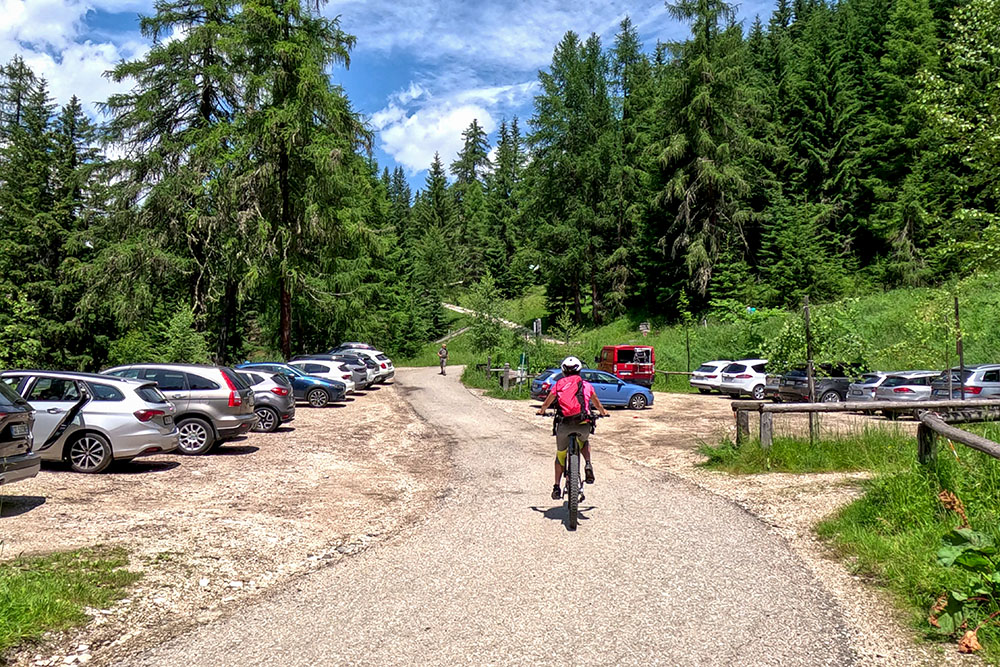
Parcheggio di Furnacia
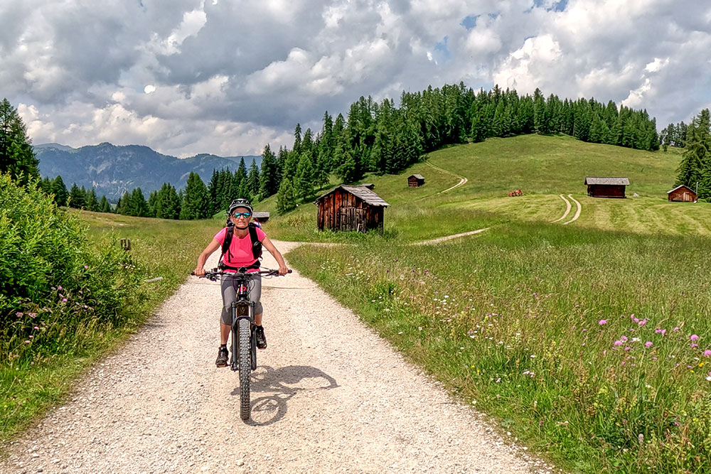
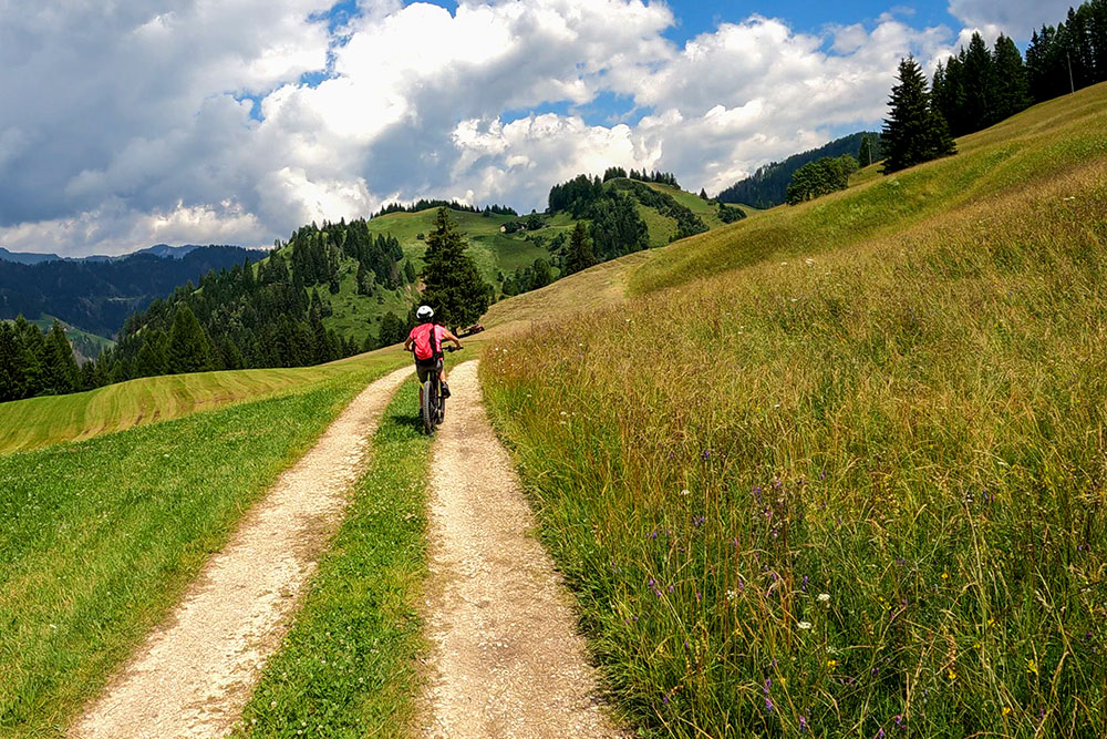
Ai Prati dell’Armentara
Ai Prati dell’Armentara
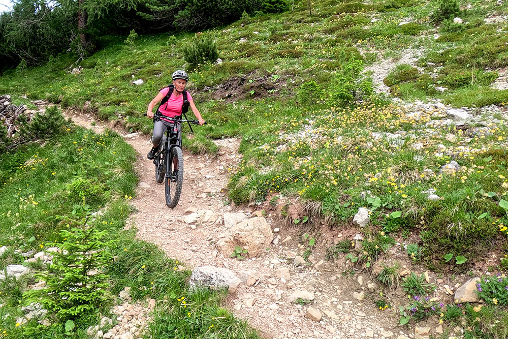
Inizia il tratto di S2
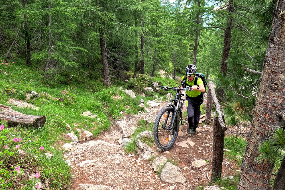
Si spinge la bicicletta
Si continua a salire
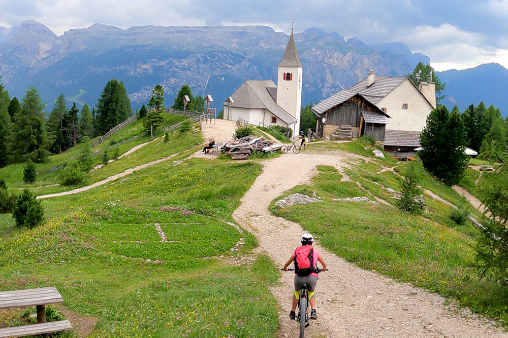
Arrivati al Santuario di Santa Croce
Si percorre il sentiero 15 con tratti di S2
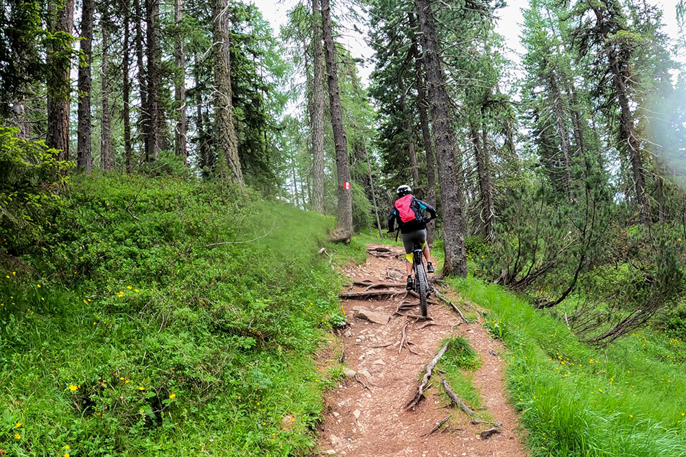
Si percorre il sentiero 15 con tratti di S1
Adesso il fondo è diventato più facile
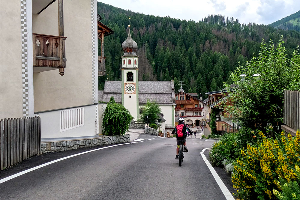
Arrivati a San Cassiano

Si ritorna a La Villa sotto la pioggia


