


![]()


Durata
 4:30 h
Distanza
 9,5 km
 Ascesa
 830 m
830 mDiscesa
 830 m
830 mH Max
 1390 m
H Min
 560 m
560 mPunta Almana from Portole
DESCRIPTION
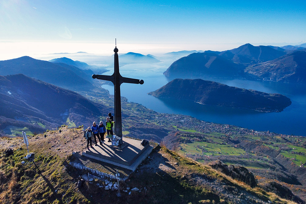
Punta Almana: a natural balcony over Lake Iseo.
Geographical Location
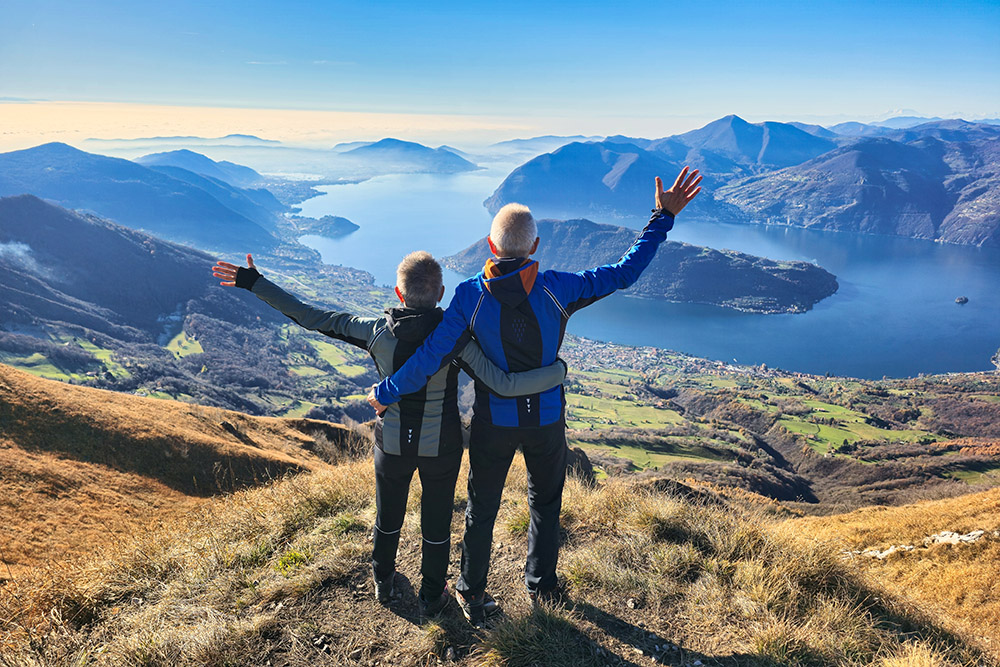
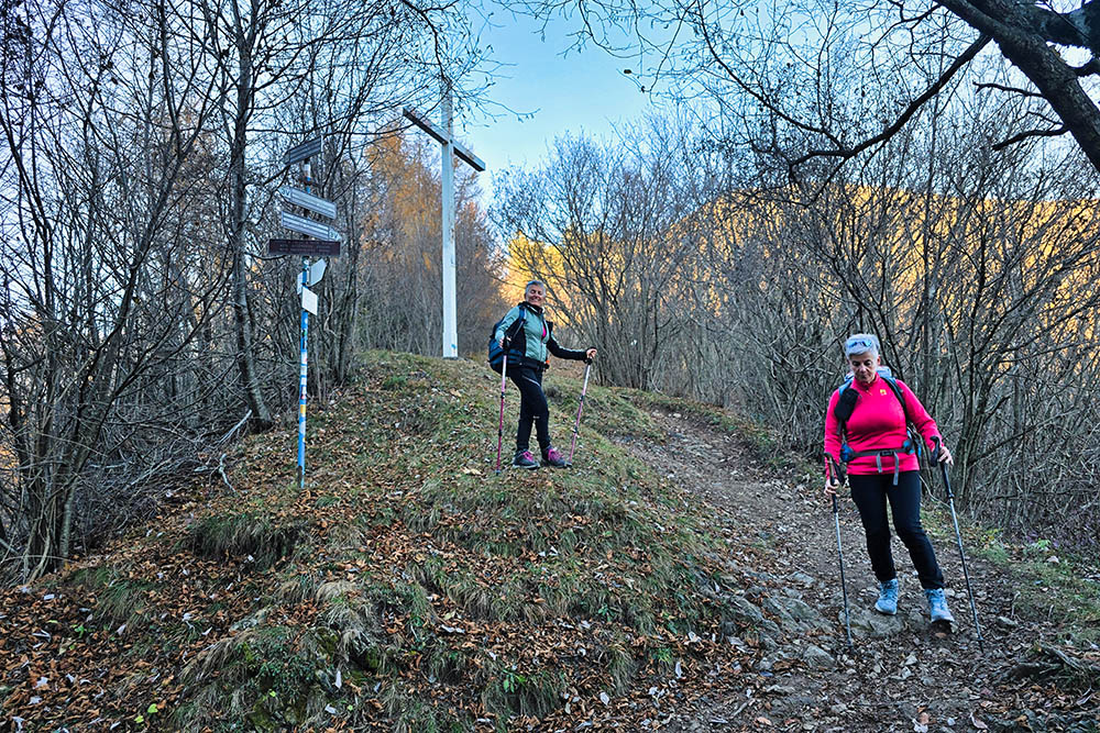
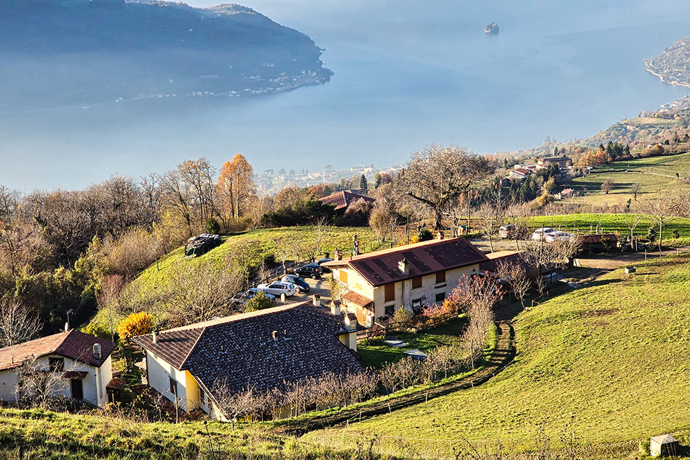
Punta Almana, at 1390 meters above sea level, is a gem of the Brescia Pre-Alps, serving as a natural watershed between Lake Iseo and the Val Trompia. This mountain, although lacking imposing peaks, offers beautiful panoramas that stretch from the Orobie Alps to Monte Guglielmo, reaching the Po Valley, framed by the Apennine peaks, with a view all the way to Monte Rosa. Located in a privileged position, it allows visitors to admire Lake Iseo in all its splendor, with Monte Isola in the center and Monte Bronzone in the background.
Hike
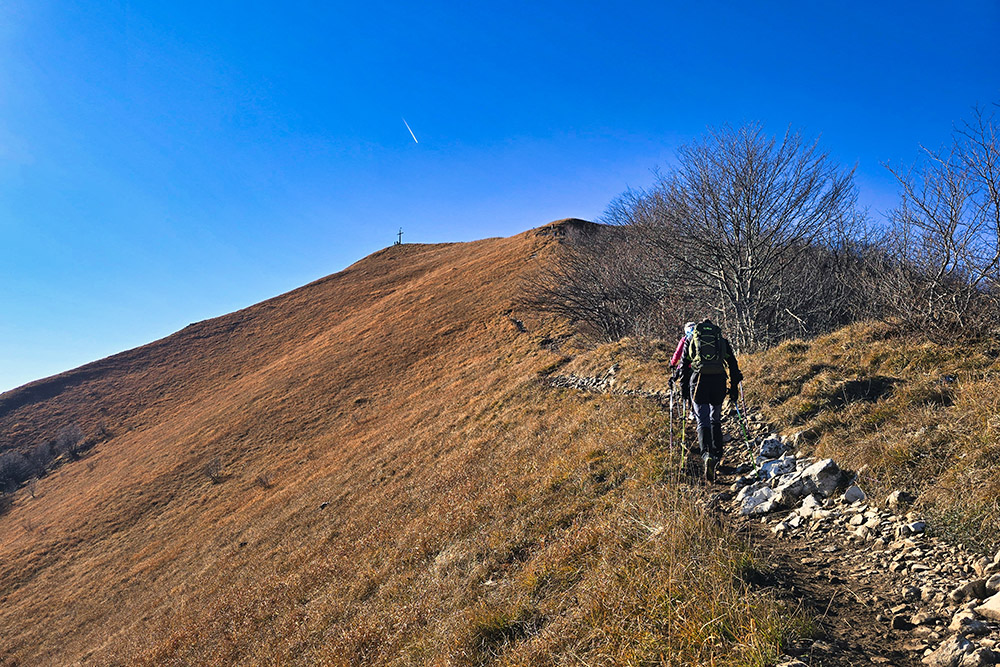
The itinerary to Punta Almana is perfect for trekking enthusiasts looking for an immersive experience in nature and landscapes. The panoramic ridge is the highlight of the route, with views that extend as far as the eye can see.
The route, mostly classified as E, has challenging sections during the descent towards the Cross of Pezzolo, classified as EE. The trails, while well-maintained, require a surefooted pace and attention, especially on exposed slopes. Therefore, the route is not suitable for families with small children; it is recommended for hikers with some experience.
ITINERARY
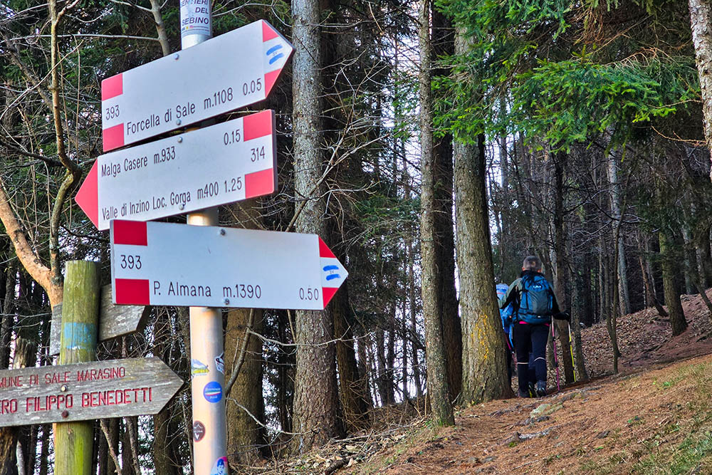
From Portole (560 m), follow the small road towards Forcella di Sale, first on trail marker 238A and then 238. Upon reaching Forcella di Sale (1108 m), continue on trail 293 and then 237 until reaching the summit of Punta Almana (1390 m). Then descend, still on trail 237, to the Cross of Pezzolo (937 m), continue on 237A to Osteria Pezzuolo (810 m), and return to the starting point.
EXCURSION DATE
December 1, 2024
STARTING POINT
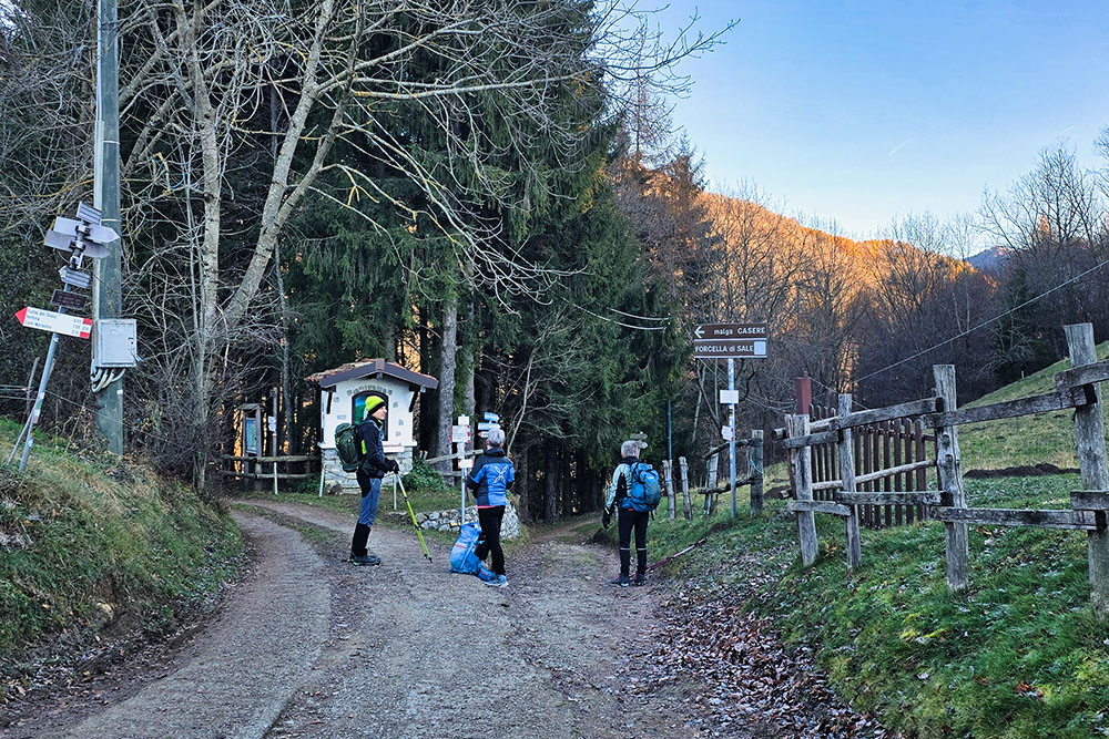
Portole - Sale Marasino
REFRESHMENT POINT
Osteria Pastina
AUTHOR’S SUGGESTIONS
The ascent can be done in a clockwise or counterclockwise direction.
SAFETY TIPS
The accessibility of the proposed itinerary, like all mountain terrain, is subject to environmental changes due to natural events and weather conditions. Therefore, before setting off, consult the relevant tourist offices and/or the reference mountain huts.
Our GPX tracks are only indicative, meaning the route was completed under the conditions of the trails and weather on that day. Always evaluate what to do on-site.
Also, assess the route based on your physical abilities, fitness level, and available equipment.
It is advisable to inform someone about the itinerary you plan to follow.
Remember, the emergency number is 112.
EQUIPMENT
It is recommended to bring equipment suitable for the trail, weather conditions, and the season: windproof and/or waterproof jacket, map and/or GPS device, sunglasses, sunscreen, hiking boots, first-aid kit, specific clothing, gloves, backpack with food and drinks.
RECOMMENDED MAPS
4LAND, Lake Iseo 1:25,000
INTERESTING LINKS
https://visitlakeiseo.info/
HOW TO ARRIVE
From Sale Marasino, turn right at the roundabout, pass under the railway, turn right again, follow the signs for Trattoria Pastina, and continue until you reach Portole.
PARKING AREA
At Trattoria Portole
GPS Coordinates: 45.710182, 10.129729
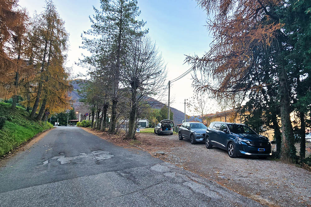
Parcheggio a Portole
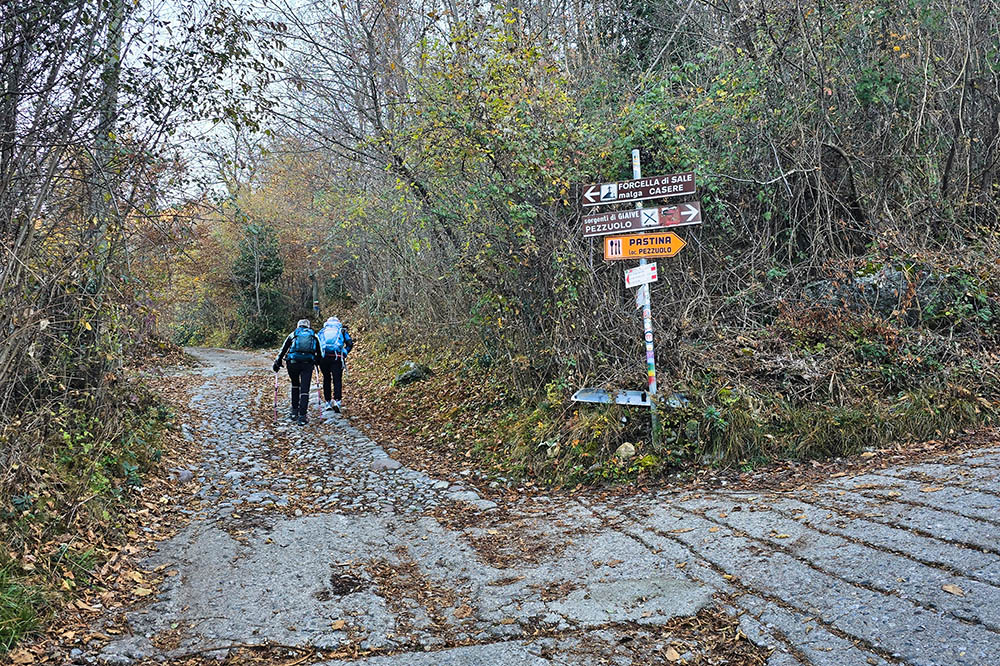
Al bivio teniamo la sinistra
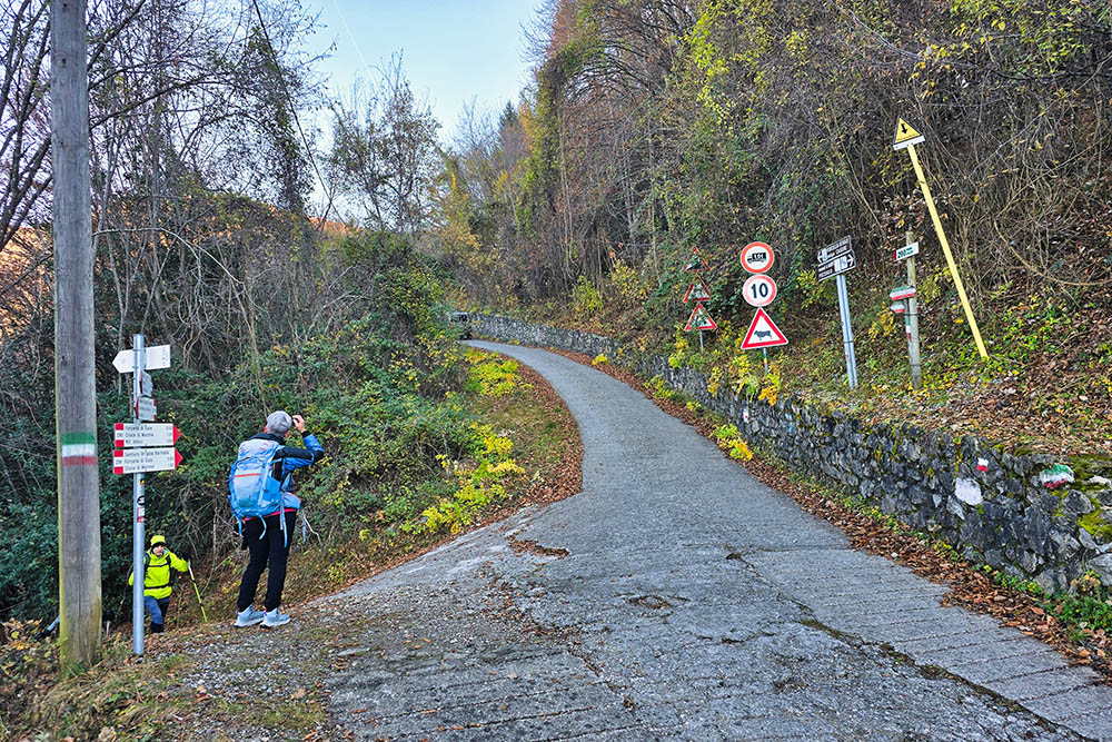
Si gira sempre a sinistra
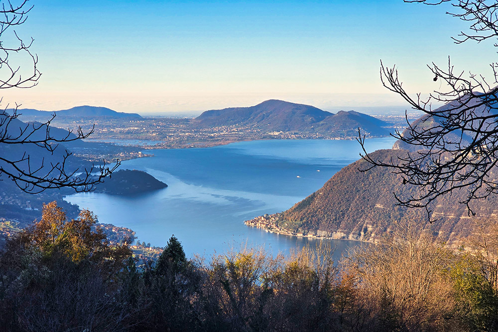
A Noase panorama sul lago
Arrivati a Forcella di Sale
Si sale verso Punta Almana
Ultimo tratto
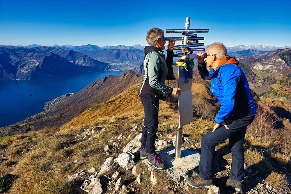
La croce di vetta di Punta Almana
La vista verso il Lago d'Iseo
Si osservano le cime circostanti
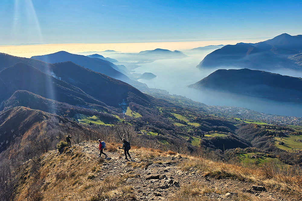
Si scende in cresta
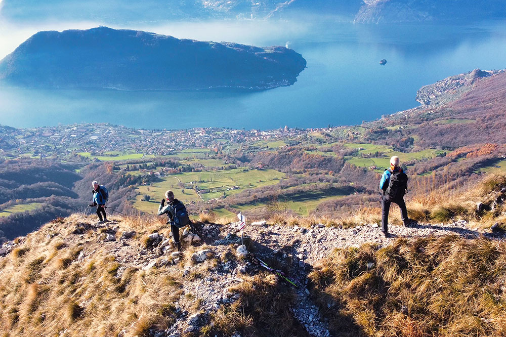
Si scende in cresta
Alla Croce di Pezzolo
Osteria Pastina
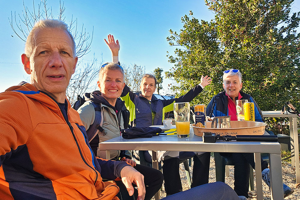
Sosta ristoratrice


