


![]()


Durata
 4:40 h
Distanza
 11,3 km
 Ascesa
 813 m
813 mDiscesa
 813 m
813 mH Max
 1285 m
H Min
 628 m
628 mRatschill tour
DESCRIPTION
Ratschill route: a family adventure among irrigation channels, vineyards and farms.
Geographical location
The excursion takes place in Laces, in Val Venosta, on the left bank of the valley, above the village of Coldrano. Here, the variety of natural landscapes offers an immersive experience among vineyards, orchards and chestnut groves.
Excursion
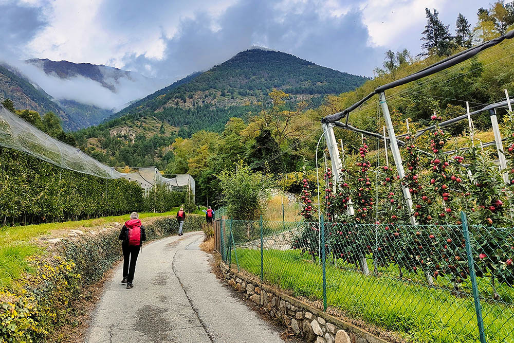
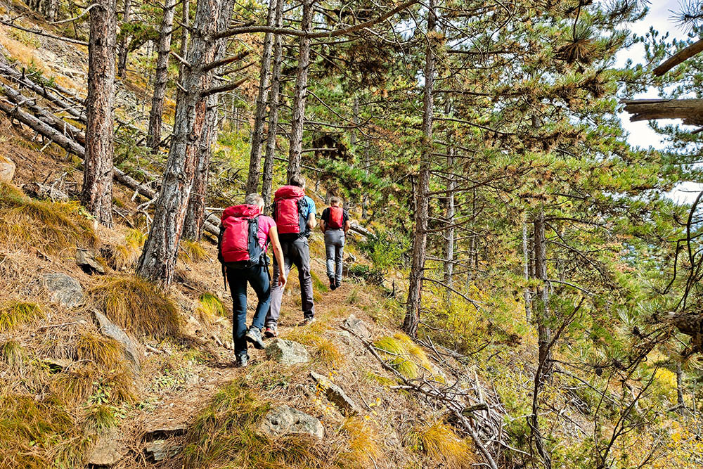
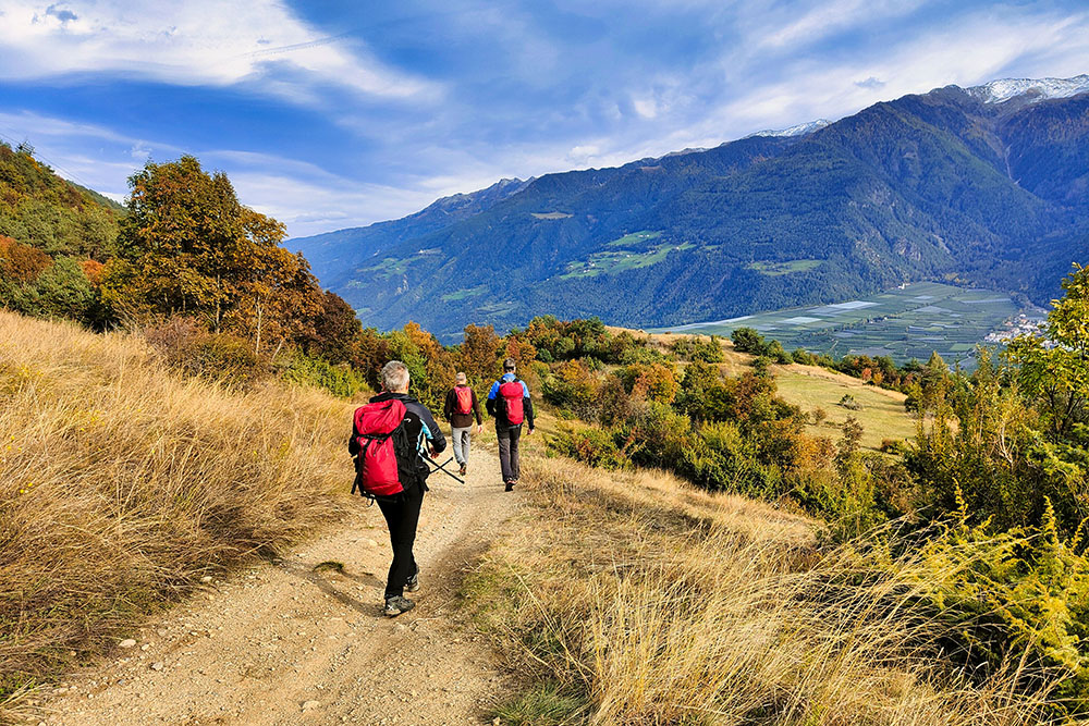
The Ratschill Tour is an excellent choice for a spring or autumn walk. With its 11 km and 800 meters of altitude difference, the route is accessible and also suitable for families, without presenting particular technical difficulties. It starts from the valley floor, following the Latschander irrigation channel, a historic hydraulic work that represents the ingenuity of traditional South Tyrolean irrigation methods. This ancient canal runs through vineyards and fields, providing water for dozens of hectares of crops.
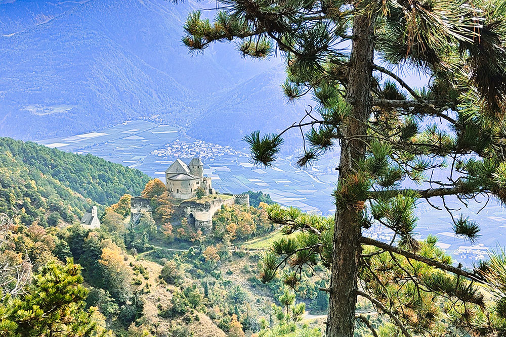
The route continues towards Coldrano, where you can admire the picturesque Church of San Lucio and Castel Coldrano, before tackling the climb to the Oberratschill restaurant. Along the way, you can enjoy enchanting views, with your gaze stretching to the Annenberg Castle, which stands in the distance.
History
The Roggia Latschander, built in 1837, covers a route of 8 km and serves to irrigate orchards and vineyards on over 37 hectares, representing a vital resource for agriculture in the area. Castel Coldrano, or Schloss Goldrain, is a medieval fortress built in 1475 by the Scheck family of the Engadine. Built around a tower dating back to the 12th century, the castle has undergone several transformations over the centuries. Today, thanks to careful restoration, it has become a lively cultural center, hosting exhibitions, events and educational activities, thus attracting visitors and scholars from all over the region.
ITINERARY
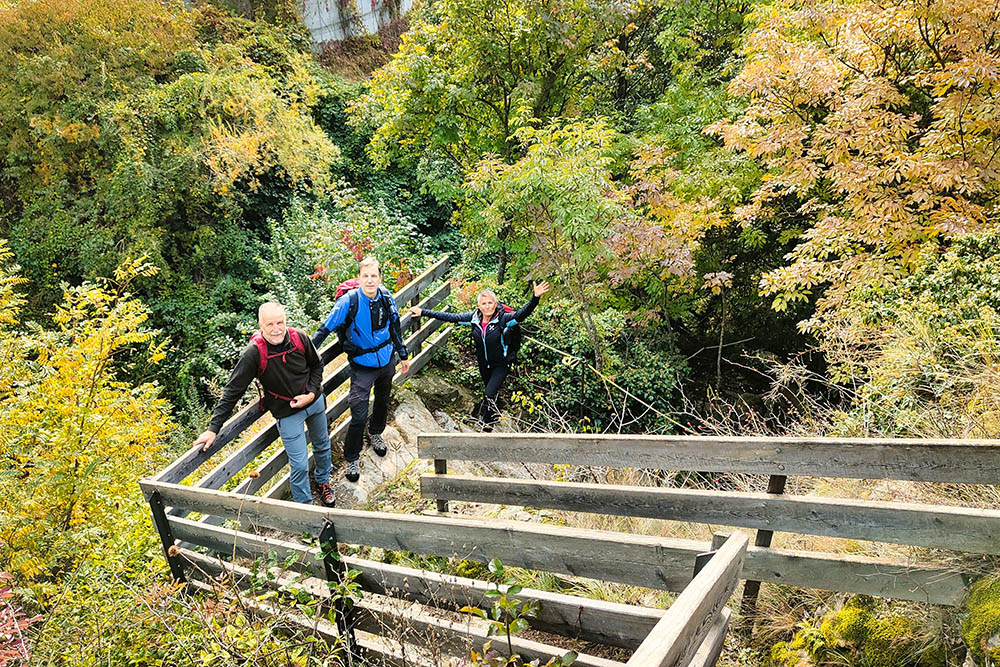
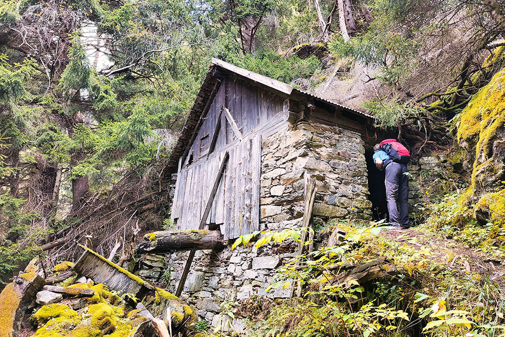
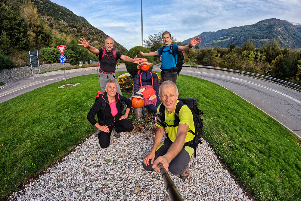
From the Parkplatz Seilbahn - Parking Funivia Laces/San Martino (630 m) follow the signpost 3 that crosses the SS38 and then turns left. Here we begin to follow the Sentiero della Roggia Latschander/ Latschanderwaal until the gates of Clodrano/Goldrain where we find the Church of San Lucio/St Luzius (700 m). Now we go up along the path 6 - Panoramic path of Coldrano/Goldrainer Panoramaweg - and then we go down from the 5 and arrive at Castel Coldrano/Schloss Goldrain (695 m). We go up following the Sentiero Lottersteig, signs 15 and 6A, and reach the Oberratschill refreshment point (1285 m). Now you descend from path 7, pass the meadows of Piani di Annenberg/Annenberger Böden and return to the starting point.
EXCURSION DATE
October 13, 2024
STARTING POINT
Laces/San Martino cable car parking
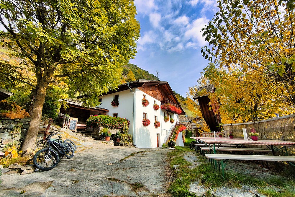
REFRESHMENT POINT
Oberratschill restaurant
AUTHOR’S SUGGESTIONS
At the Oberratschill restaurant you can enjoy delicious Tyrolean dishes.
SAFETY TIPS
The viability of the proposed itinerary, like all mountain morphology, is subject to environmental changes due to natural events and weather conditions. Therefore, before leaving, consult the competent tourist offices and / or the refuges of reference.
Our GPX tracks are only indicative, that is, the route was carried out at best with the conditions of the trails and weather of that day. So always consider what to do on site.
Also remember to evaluate the route based on your physical abilities, training and the equipment you have.
You should leave someone the route you intend to do told.
Remember that the emergency number is 112.
EQUIPMENT
It is recommended to have the appropriate equipment for the route, weather conditions and season: windproof and / or rain jacket, map and / or GPS device, goggles, sunscreen, boots, first aid kit, specific clothing, gloves, backpack with food and drink.
RECOMMENDED MAPS
Tabacco 04 Val Senales - Naturno / Schnalstal - Naturns
INTERESTING LINKS
https://www.facebook.com/HofschankOberratschill
HOW TO ARRIVE
From Merano take the SS38 towards Passo di Resia. After passing Castelbello at the first roundabout continue towards Laces/Latsch. After a hundred meters you arrive at the parking lot.
PARKING AREA
Free parking at the Laces/San Martino cable car
GPS coordinates: 46.621301, 10.867087
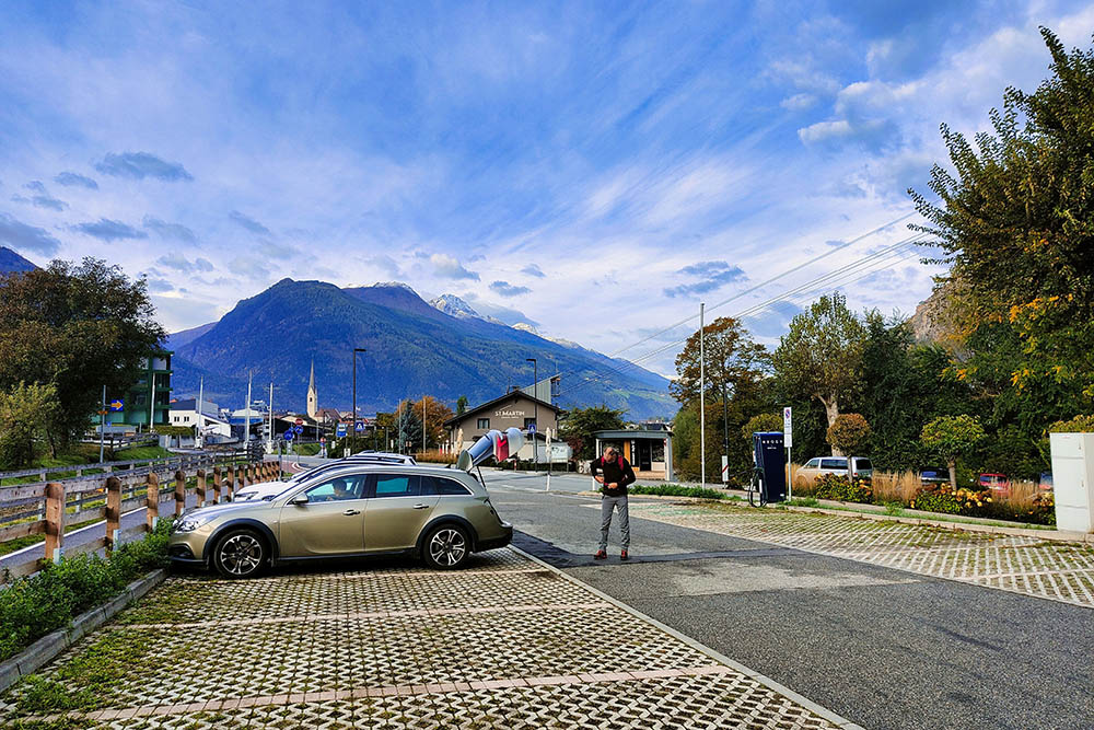
Parcheggio a Laces
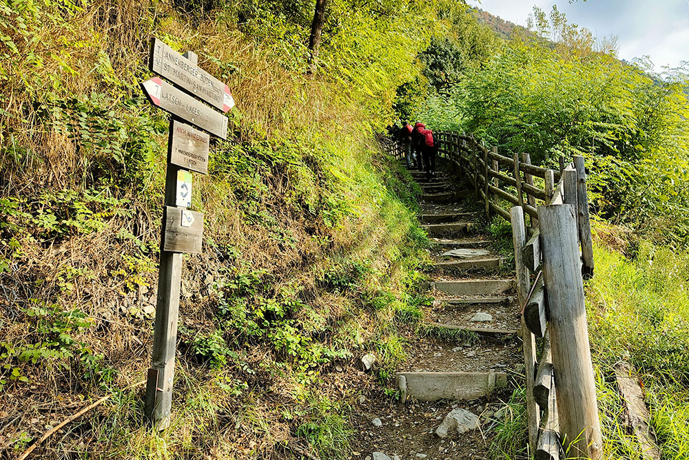
Imbocco del sentiero
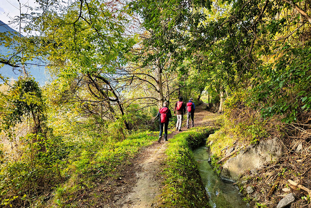
Seguiamo la roggia verso Coldrano
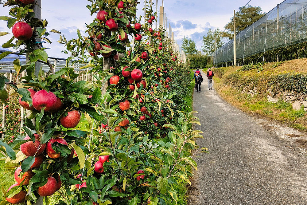
Si cammina accanto a stupendi meleti
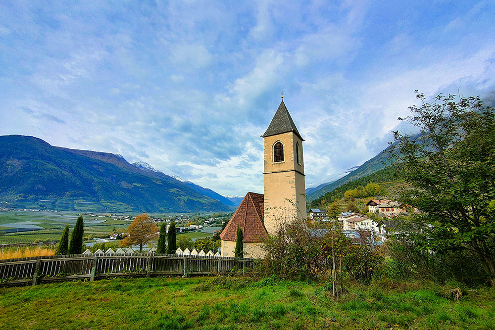
Arrivati alla Chiesa di San Lucio
Saliamo sopra a Coldrano
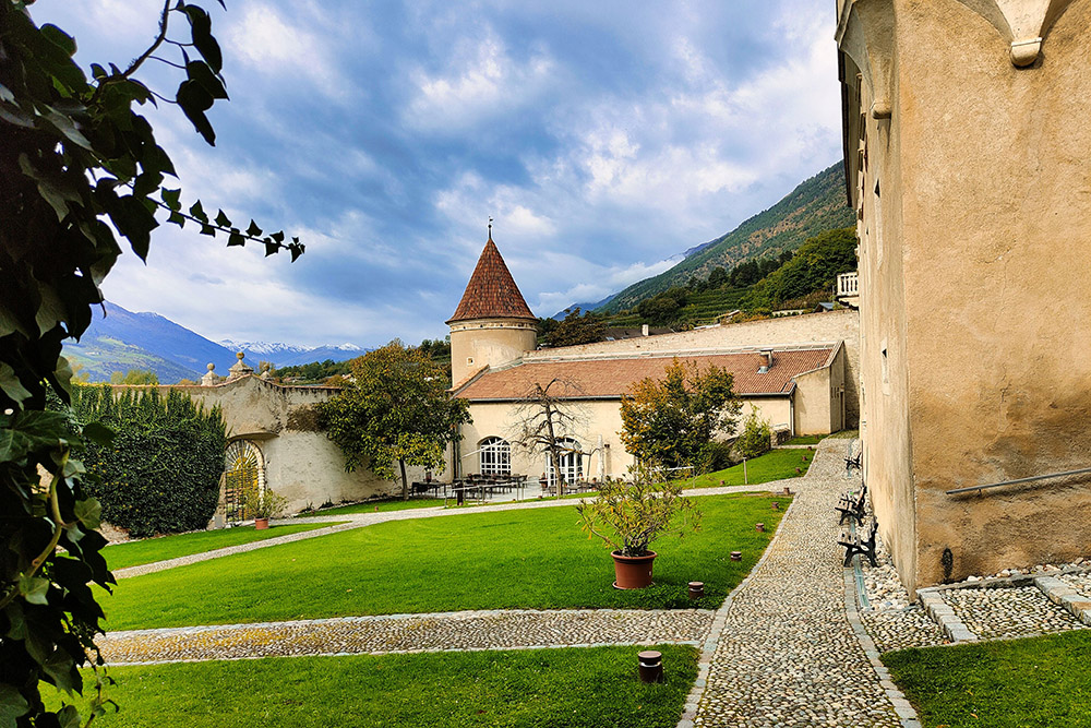
Il Castel Coldrano
Seguiamo il segnavia 15
Inizia il sentiero
In lontananza il Castel Annenberg
Un antico mulino
Arrivati al ristoro Oberratschill
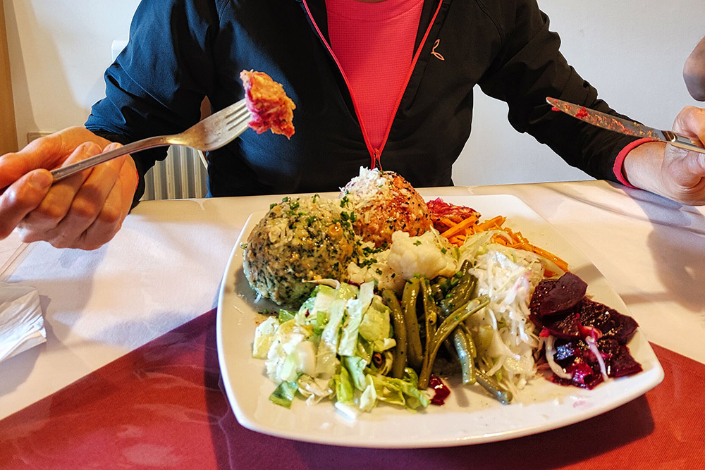
Il meritato pranzo
Si scende per il sentiero 7
Ritornati a Laces


