


![]()


Durata
 4:55 h
Distanza
 12,3 km
 Ascesa
 927 m
927 mDiscesa
 319 m
319 mH Max
 1000 m
H Min
 303 m
303 mChestnut Trail, Castel Roncolo - Auna di Sotto #1
DESCRIPTION
Between farmhouses and castles: the medieval charm of the Chestnut Trail.
Geographical location
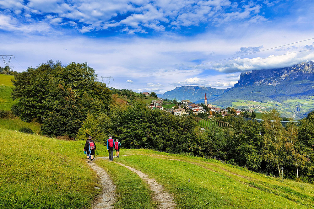
The Chestnut Trail starts from the picturesque Castel Roncolo, located a few kilometers from Bolzano at the entrance to the Val Sarentino. From here, the path follows the eastern side of the Isarco Valley, at an altitude between 500 and 1000 meters. Along the way, you cross lush chestnut groves and broadleaf forests that turn warm hues in autumn, making this route especially scenic.
Hike
The Chestnut Trail, or Keschtnweg in local dialect, offers an accessible hike, perfect for immersing yourself in the beauty of South Tyrol, especially in autumn. The path winds through ancient farmhouses, vineyards, and apple orchards, offering spectacular views of the Dolomite peaks, including Latemar, Catinaccio, and Sciliar. The route is well-marked and doesn't require technical experience, making it suitable for families. Along the way, you can stop at typical farmhouses to sample local products, including dishes from the Törggelen tradition, an old autumn custom linked to grape harvest and chestnuts.
To complete the hike, you will need two cars or use public transport to return to the starting point.
History
Castel Roncolo, built in 1237, is a unique example of a medieval fortress, famous for its frescoes depicting scenes of courtly life and chivalric legends. After being expanded by the Vintler brothers in 1385 and restored by Emperor Maximilian I in 1490, the castle has witnessed centuries of history, being restored again by Emperor Franz Joseph in the 19th century. Today, the castle is a major tourist attraction, renowned not only for its history but also for being chosen as a film location by Pier Paolo Pasolini.
The chestnut tree, brought to South Tyrol by the Romans, played a fundamental role as a food source for the local population, so much so that it was called the bread tree. This precious tree and its nutrient-rich fruits have shaped the history and culture of the region, becoming an integral part of the local traditions that still survive along the Chestnut Trail.
ROUTE
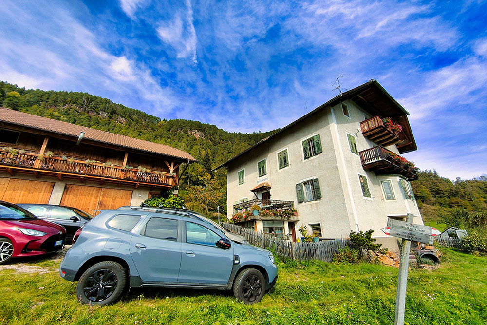
From the parking lot near the San Genesio cable car (303 m), follow the cycle path along the Talvera stream until you reach Castel Roncolo/Schloss Runkelstein (355 m). This is where the Chestnut Trail begins. Follow these signs in order: 3, 2, 2A, 6, 23, and 13. The route ends at Auna di Sotto (910 m).
HIKE DATE
October 6, 2024
STARTING POINT
Castel Roncolo
REFRESHMENT POINTS
Along the route, there are farmhouses and mountain huts.
AUTHOR'S TIPS
Plan the hike during the Törggelen period (October-November).
SAFETY ADVICE
The walkability of the suggested route, like all mountain landscapes, is subject to environmental changes caused by natural events and weather conditions. Therefore, before setting out, consult the relevant tourist offices and/or the mountain huts for updated information.
Our GPX tracks are for reference only, meaning the route was completed under the trail and weather conditions of that specific day. Always assess the situation on-site.
Also, remember to evaluate the hike based on your physical abilities, fitness, and the equipment you have.
It’s a good idea to inform someone of your planned itinerary.
Remember, the emergency number is 112.
EQUIPMENT
It's recommended to bring appropriate gear for the trail, weather conditions, and season: windproof and/or rainproof jacket, map and/or GPS device, sunglasses, sunscreen, hiking boots, first aid kit, specific clothing, gloves, backpack with food and drinks.
RECOMMENDED MAPS
Tabacco 034. Bozen - Ritten - Salten / Bolzano - Renon - Salto
USEFUL LINKS
https://www.runkelstein.info/en/
HOW TO GET THERE
A22 Bolzano North exit. Head west on SS12. Take the exit for Rentsch/St. Magdalena/Rencio/S. Maddalena/Eggental Val d'Ega/Ritten/Renon and follow SP22. In Bolzano's old town, follow signs for Val Sarentino.
PARKING
At Auna di Sotto
GPS Coordinates: 46.511810, 11.439251
At Castel Roncolo
GPS Coordinates: 46.513970, 11.352422
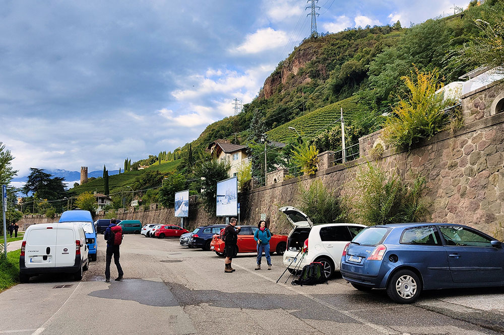
Parcheggio presso la Funivia San Genesio
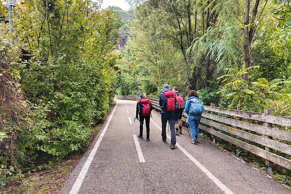
Ciclopedonale lungo il Talvera
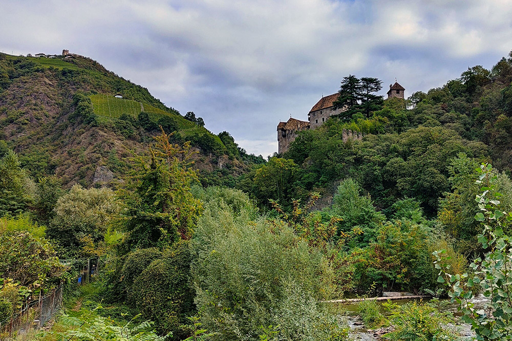
In lontananza il Castel Roncolo
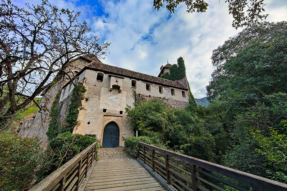
Il Castel Roncolo
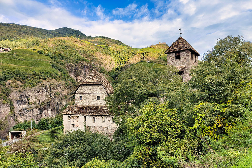
Il Castel Roncolo
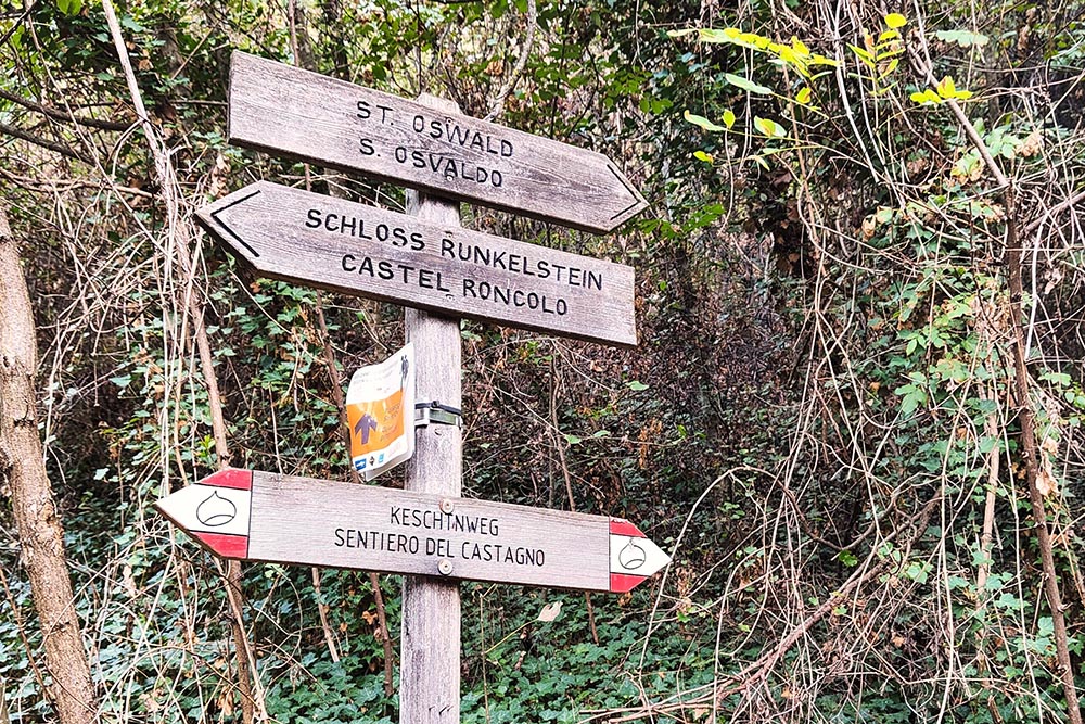
Seguiamo l'indicazione Sentiero del Castagno
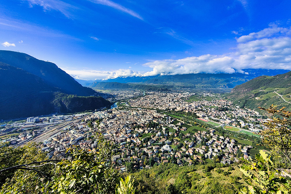
Veduta di Bolzano
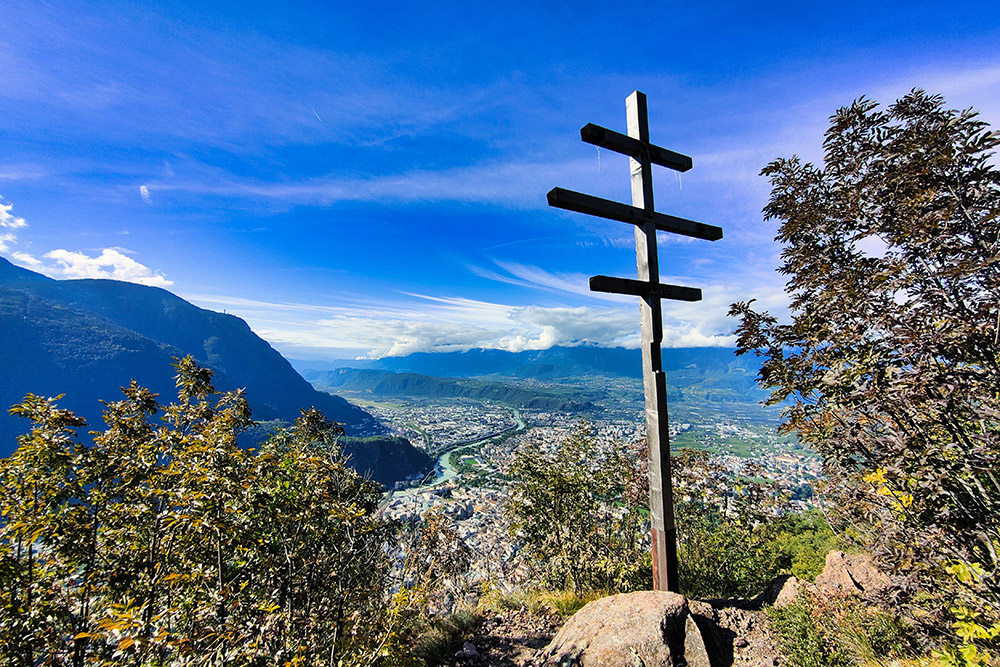
Punto panoramico su Bolzano
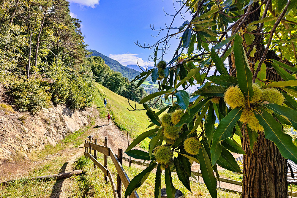
Si sale attraversando castagneti
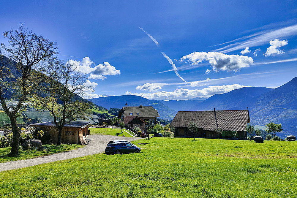
Arrivati a lla località Spornberg
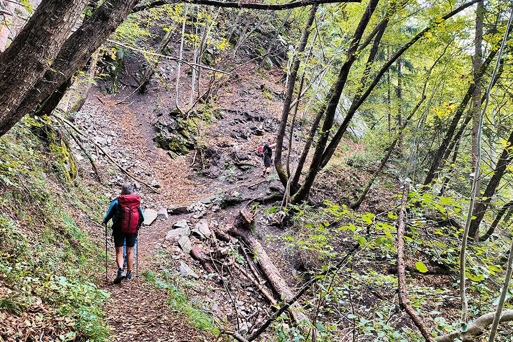
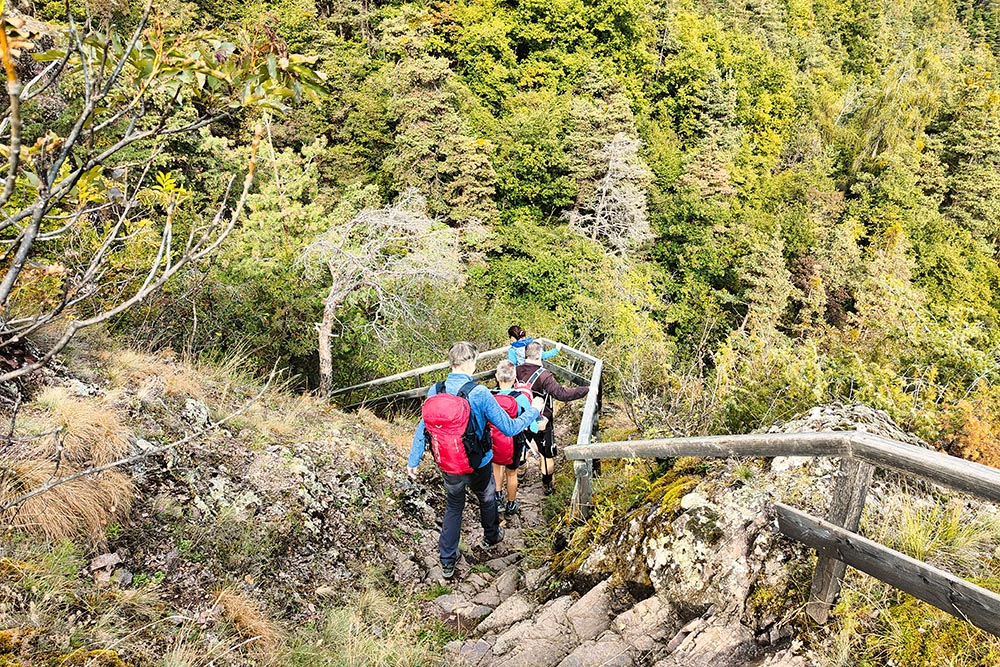
Si cammina nei boschi
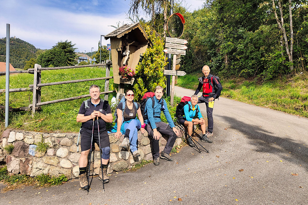
Arrivati a Signato
Il Maso Partschuner
Si va verso Auna di Sotto
Siamo quasi arrivati ad Auna di Sotto


