


![]()


Durata
 5:30 h
Distanza
 12,4 km
 Ascesa
 1050 m
Discesa
 1050 m
H Max
 2311 m
H Min
 1367 m
Samersee and Goldlahnsee
DESCRIPTION
Panoramic hike to the Goldlahn and Samer Alpine lakes.
Here we are in Alta Val di Non, precisely in the area bordering the Val d'Ultimo and belonging to the Province of Bolzano. This region usually escapes the attention of tourists, which has allowed the landscape to retain its naturalness and wild beauty. The starting point of our journey is Proves, a small German-speaking village with few inhabitants and a lovely neo-Gothic church dedicated to San Nicolò Vescovo.
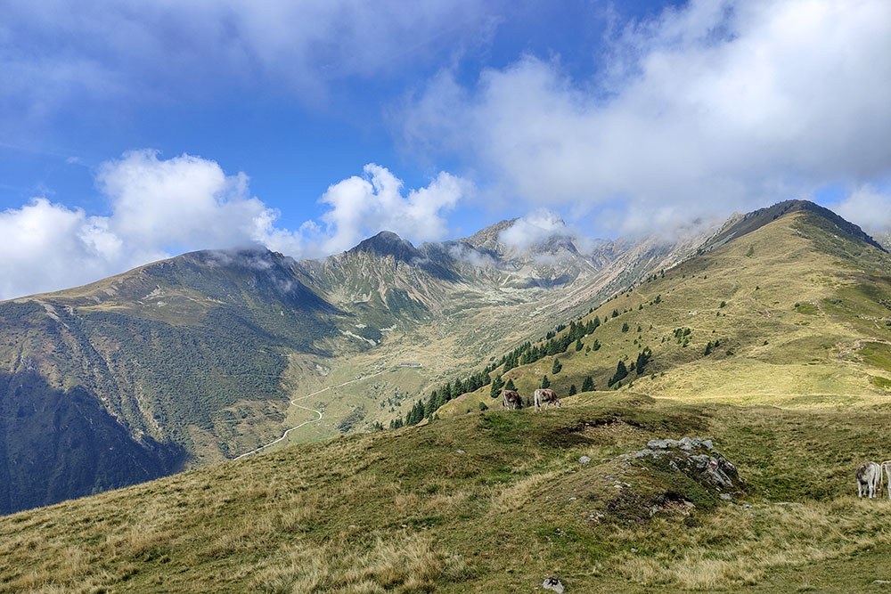
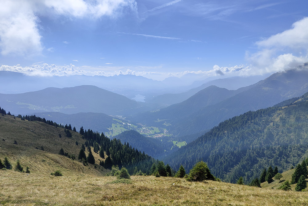
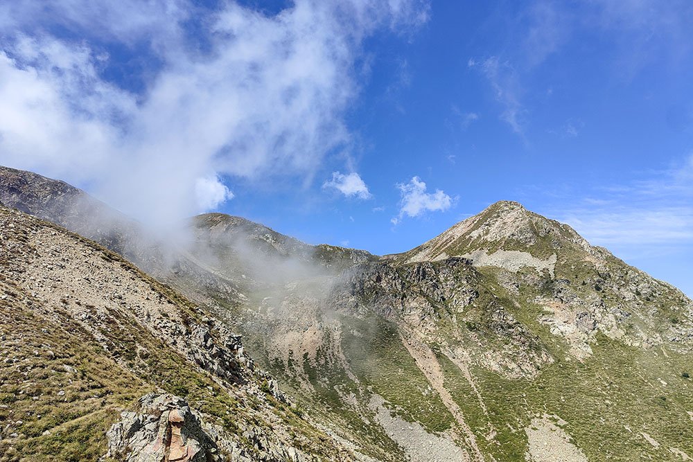
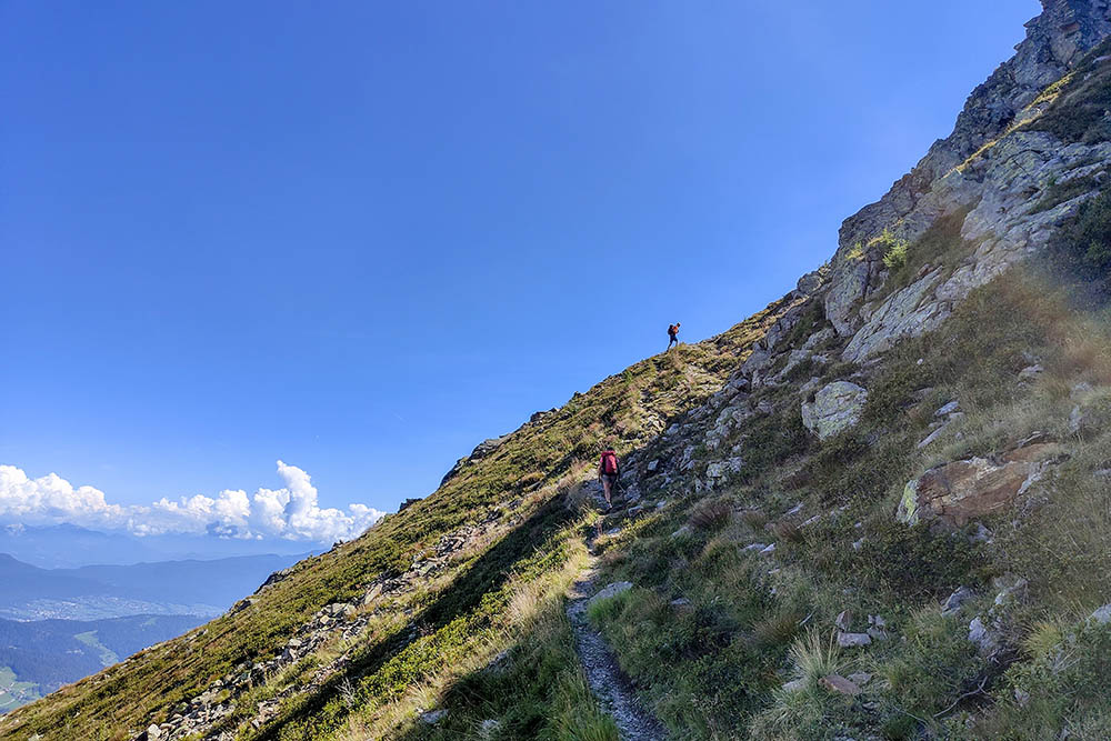
The itinerary takes us quickly towards the first peak, Mount Faiden, a large and panoramic summit from which you can enjoy a spectacular view of the Val di Non. From here, it is also possible to admire Lake Santa Giustina and the extensive pastures of the 'Alpe di Brez.
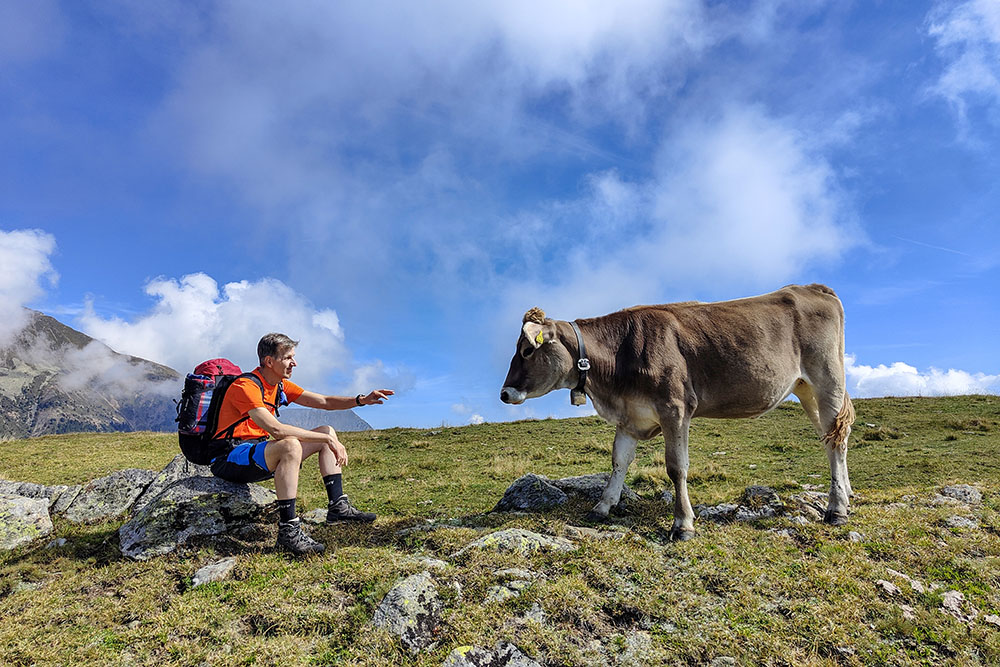
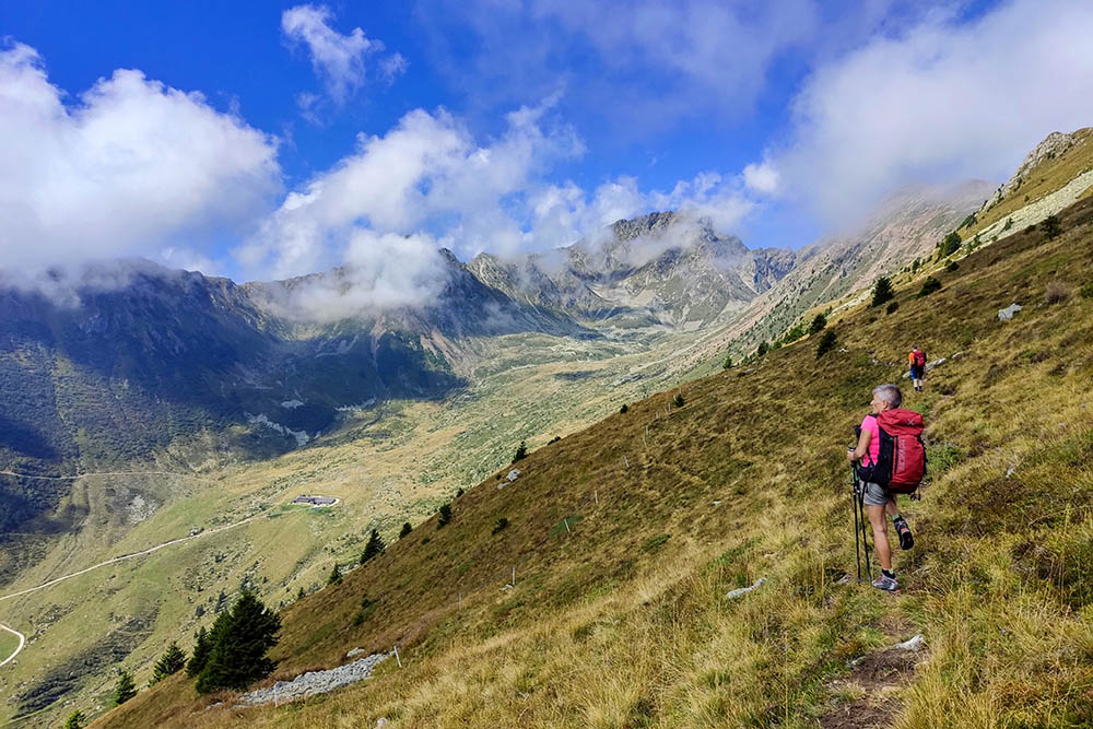
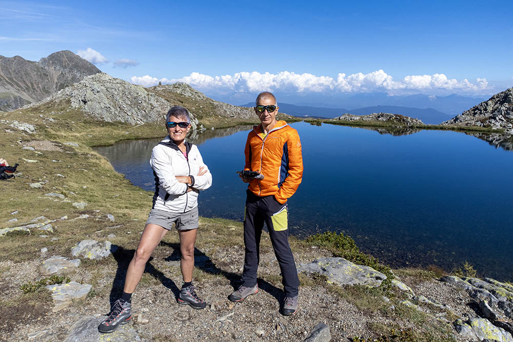
In the Maddalene Group, we discover two fascinating alpine lakes, the Goldlahnsee and the Samersee. The first, located between Cima Lavazzè and Cima Goldlahn and not far away, slightly lower, we find the second. From both, you can enjoy breathtaking views.
We recommend a visit to the Brez Pass/Samerjoch to admire the famous boundary stones that marked the border between the Kingdom of Bavaria and Napoleon's Italian Kingdom. Today, these stones mark the border between the provinces of Trento and Bolzano.
On the way back, it is possible to stop at the Malga Manzara di Proves/Stierbergalm, the only refreshment point along the excursion. An ideal place to refresh yourself after this magnificent adventure.
ITINERARY
From the town of Proves (1410 m) follow trail sign no. 14 for Passo Fresna (1457 m). At the pass you leave the dirt road that leads to Rumo and take path 12/13 which on a steep path leads to the summit of Mount Faiden/Faidenbeg (1993 m). Continue on route 13 and then route 133 arriving at Samersee/Lower Lavazzè (2215 m). Here you go up to the upper Goldlahnsee/Lago Lavazzè (2294 m). You return to Samersee and go to Passo di Brez/Samerjoch (2185 m) still signposted 133. Now you first descend to the Stierberg Alm/Malga Manzara di Proves (1854 m) and then return to Proves following signpost 19.
EXCURSION DATE
September 2, 2023
STARTING POINT
Proves
REFRESHMENT POINT
Stierberg Alm/Malga Manzara di Proves
AUTHOR’S SUGGESTIONS
Go around clockwise.
SAFETY TIPS
The viability of the proposed itinerary, like all mountain morphology, is subject to environmental changes due to natural events and weather conditions. Therefore, before leaving, consult the competent tourist offices and / or the refuges of reference.
Our GPX tracks are only indicative, that is, the route was carried out at best with the conditions of the trails and weather of that day. So always consider what to do on site.
Also remember to evaluate the route based on your physical abilities, training and the equipment you have.
You should leave someone the route you intend to do told.
Remember that the emergency number is 112.
EQUIPMENT
It is recommended to have the appropriate equipment for the route, weather conditions and season: windproof and / or rain jacket, map and / or GPS device, goggles, sunscreen, boots, first aid kit, specific clothing, gloves, backpack with food and drink.
RECOMMENDED MAPS
Tabacco 064 Val di Non - Le Maddalene - Cles - Roèn - Mendola
INTERESTING LINKS
https://www.merano-suedtirol.it/it/alta-val-di-non.html
HOW TO ARRIVE
From Cles SS43, SP139, SS42 to Revò. SP28 and then SP86 until you reach the town of Proves.
PARKING AREA
In the center of the town of Proves
GPS coordinates: 46.477674, 11.022709
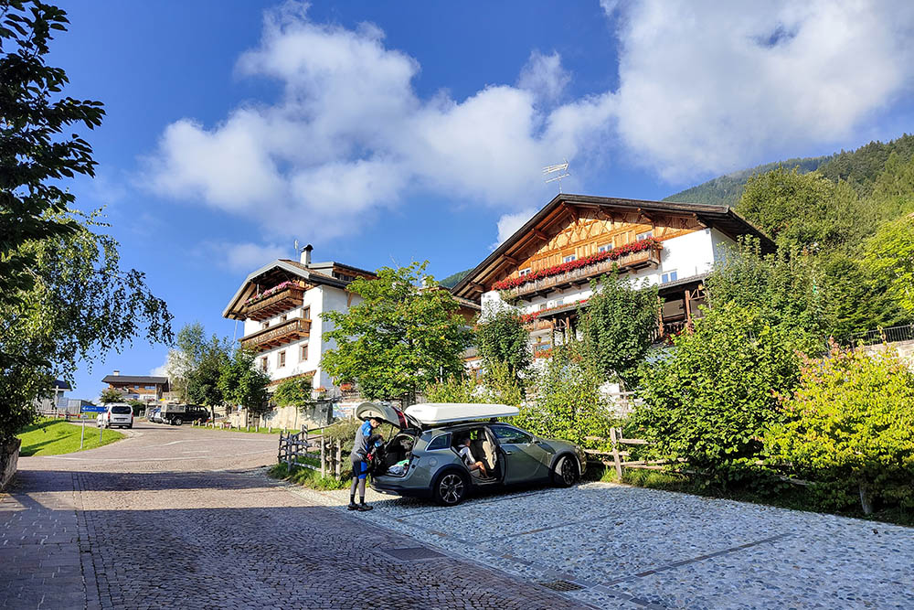
Parcheggio a Proves
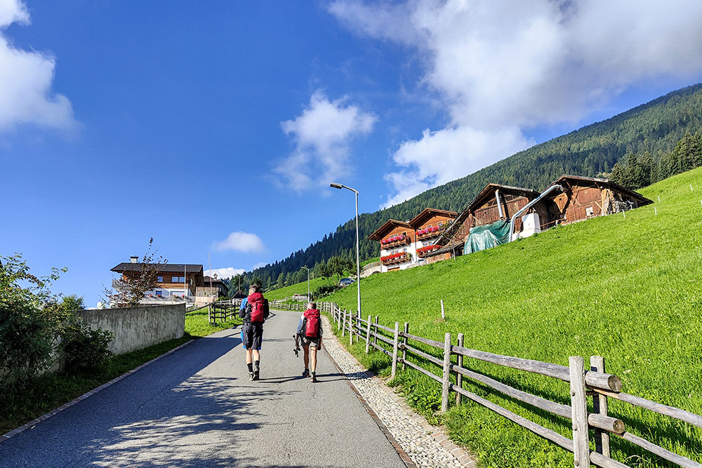
Primo tratto asfaltato verso Passo Fresna
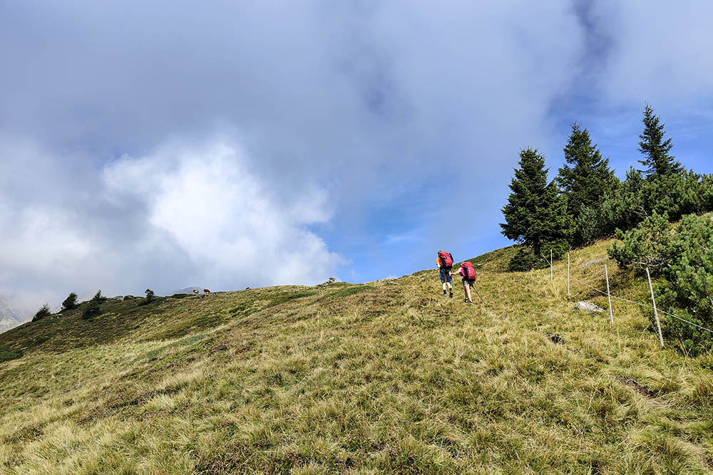
Si sale sul sentiero 12
Arrivati al Monte Faiden
Monte Faiden
Da Monte Faiden si vede tutta la Val di Non
Sentiero 13
Cima Lavazzè e Goldlahn
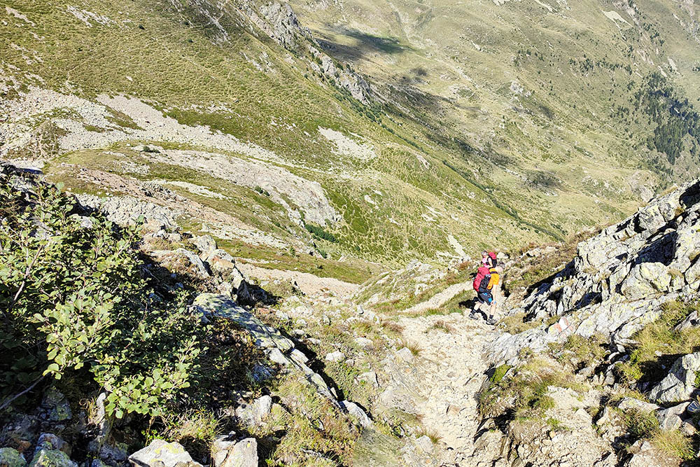
Si scende ai laghi sul sentiero 133
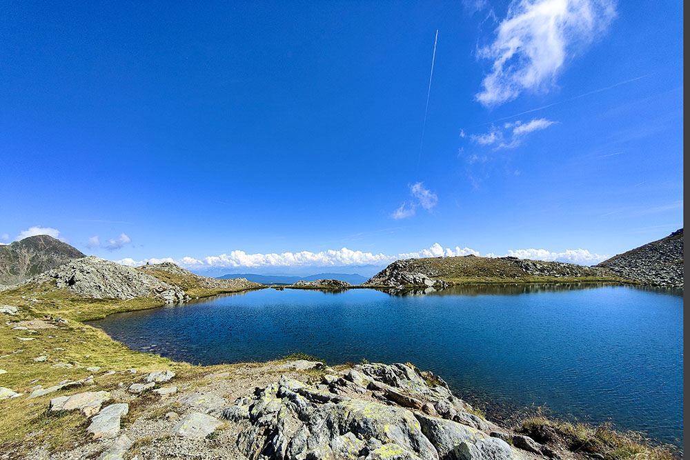
Samersee o Lago Lavazzè inferiore
Si sale al secondo lago
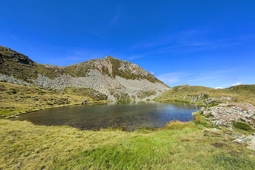
Goldlahnsee o Lago Lavazzè superiore
Ritornati al Samersee
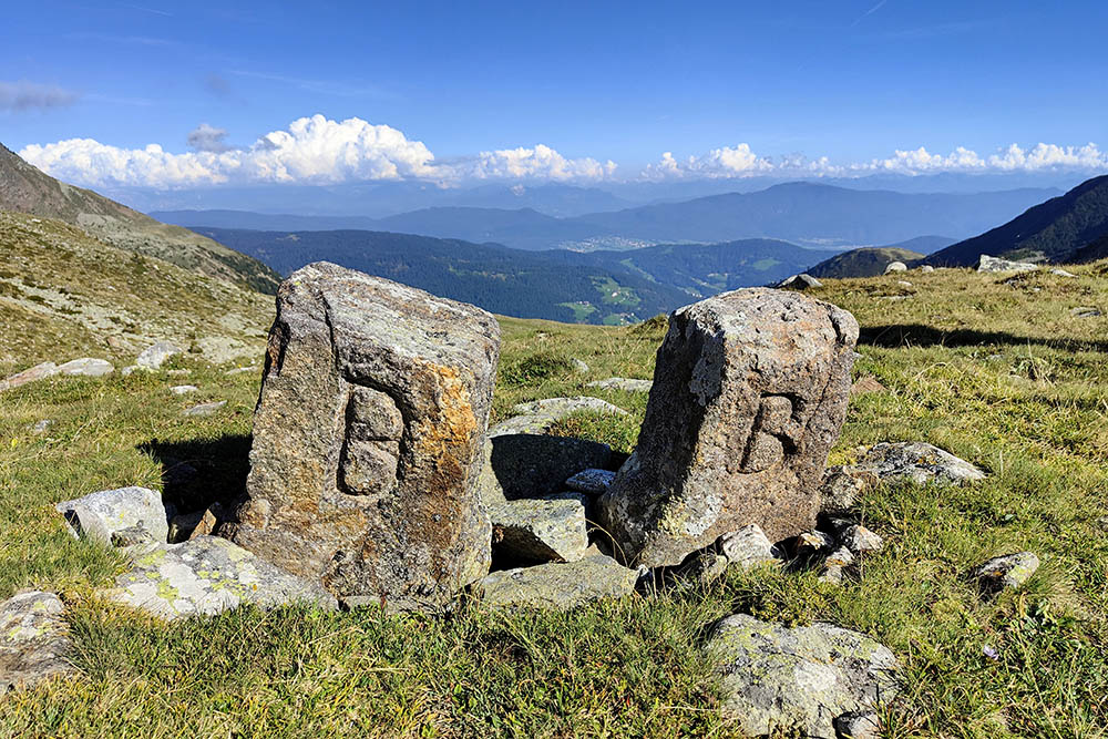
Cippi napoleanici a Passo di Brez
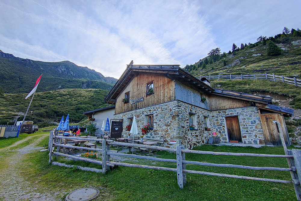
Stierbergalm


