


![]()


Durata
 4:20 h
Distanza
 11,8 km
 Ascesa
 410 m
410 mDiscesa
 410 m
410 mH Max
 1577 m
H Min
 1210 m
Malga Krabes from Anterivo
DESCRIPTION
Discovering Malga Krabes: A day in the Monte Corno Nature Park.
Geographical Location
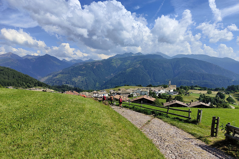
Located at the border between Val di Fiemme and South Tyrol, the Monte Corno Nature Park offers a landscape of rare beauty. Here, in the heart of this enchanting scenery, lies the small village of Anterivo, the only town in South Tyrol that belongs to Val di Fiemme, near the San Lugano Pass.
Excursion
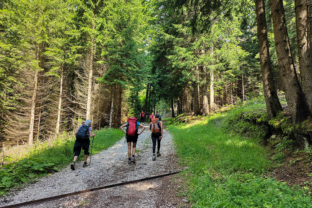
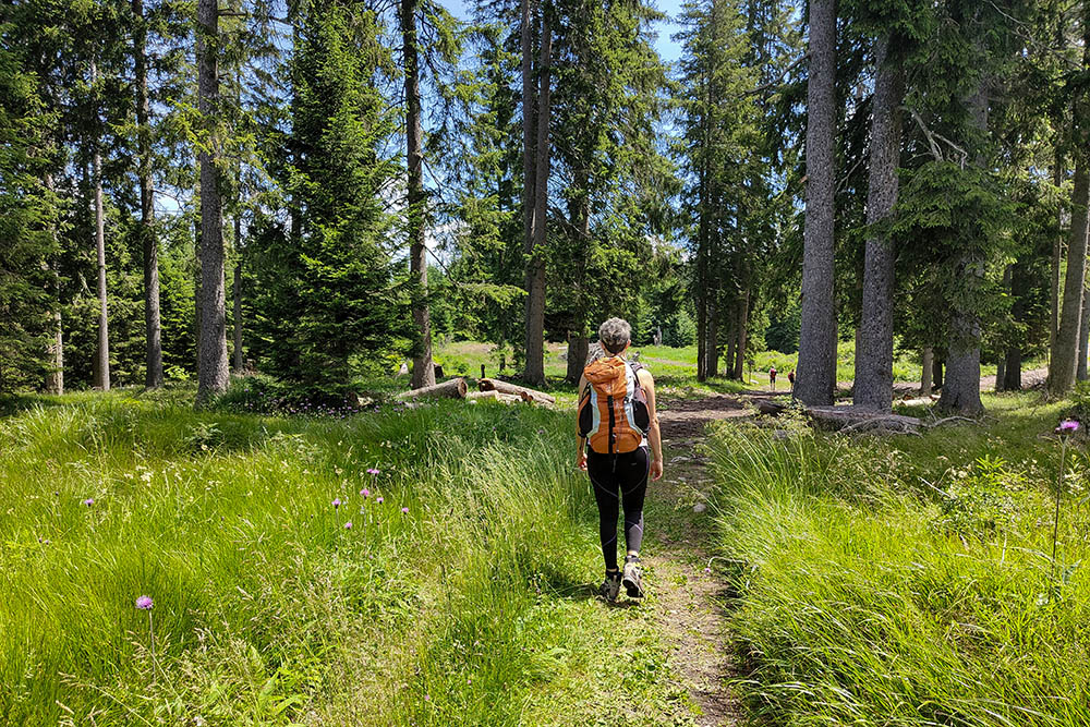
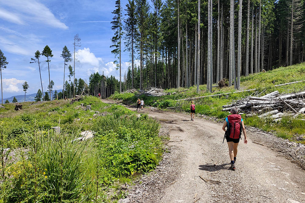
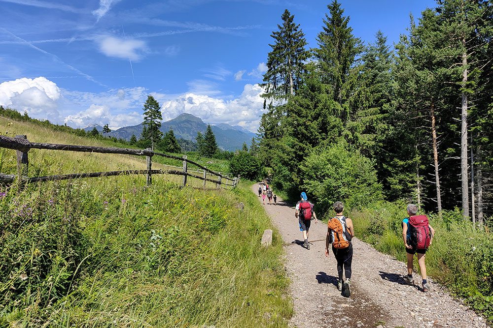
The hike to Malga Krabes, at an altitude of 1540 meters, is an accessible walk suitable for everyone, perfect in every season. The route, free from technical difficulties, follows well-maintained dirt roads and mule tracks, immersed in unspoiled nature.
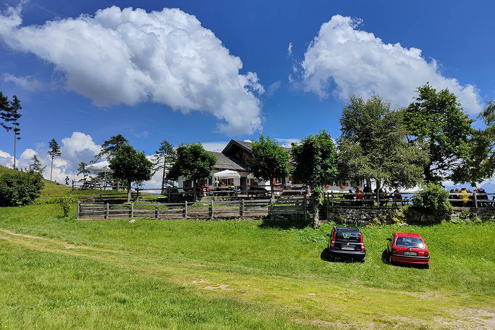
Upon reaching the malga, you are greeted by vast green meadows, bordered by the typical South Tyrolean wooden fence. Here, the panorama opens up to a majestic mountain backdrop that stretches from the Pale di San Martino to the Tre Cime del Bondone. This is the ideal place for a refreshing break: the wooden tables outside the malga invite you to enjoy high-quality traditional dishes prepared with fresh, local ingredients.
For families, the malga offers a children's play area with a small slide, a swing, and a bocce court for adults, all surrounded by greenery and just a stone’s throw from the forest. It’s the perfect place to relax in the sun and enjoy the tranquility of the mountains.
For those looking to explore further, the surrounding area offers additional hiking trails, while the Monte Corno Nature Park, with its rich biodiversity, invites you to discover a unique natural heritage where flora and fauna meet in perfect harmony. Don't miss the chance to explore the historical and natural beauties of Anterivo, an authentic corner of Italy still waiting to be explored.
ITINERARY
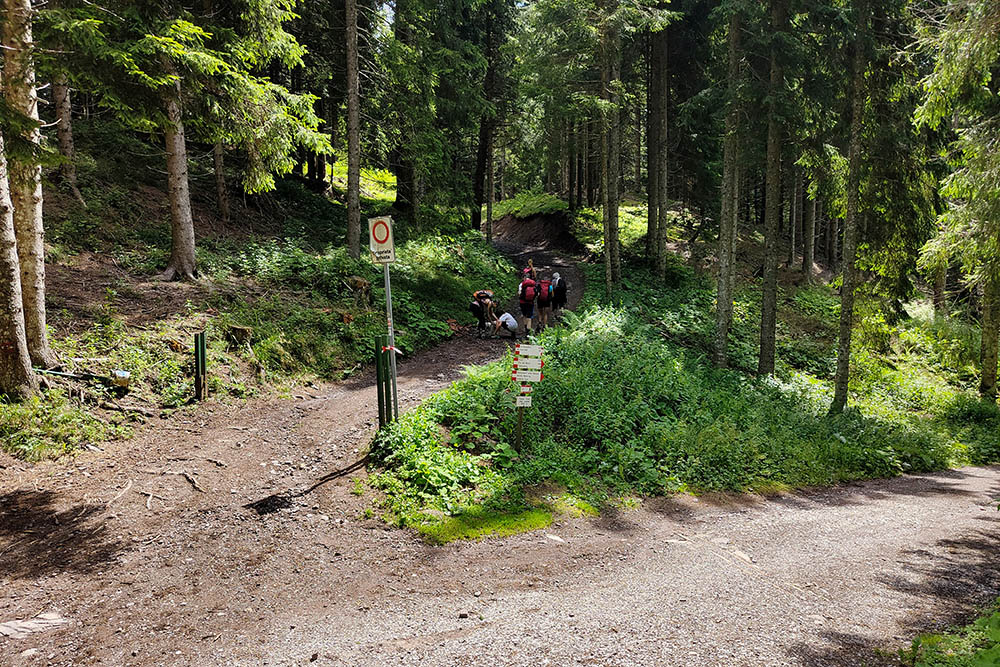
From Anterivo (1215 m), follow trail marker 3, pass the Kneipp path, and arrive at the Passo Cisa/Ziss Sattel (1439 m). Continue on trail 4, then turn onto trail 6, arriving at Malga Krabes/Malghette (1540 m). Return to the starting point by following trail markers 9 and 5, passing through Palude Longa.
EXCURSION DATE
July 13, 2024
STARTING POINT
Anterivo
REFRESHMENT POINT
Malga Krabes/Malghette
AUTHOR’S SUGGESTIONS
If you plan to stop at the Kneipp path, we suggest bringing towels.
SAFETY TIPS
The accessibility of the proposed route, like all mountain terrain, is subject to environmental changes due to natural events and weather conditions. Therefore, before setting out, consult the relevant tourist offices and/or mountain huts.
Our GPX tracks are only indicative, meaning the route was completed under the best trail and weather conditions of that day. Always assess the situation on-site.
Additionally, remember to evaluate the route based on your physical abilities, training, and the equipment you have. It’s advisable to inform someone about the itinerary you plan to take. Remember, the emergency number is 112.
EQUIPMENT
It is recommended to have suitable equipment for the route, weather conditions, and season: windproof and/or waterproof jacket, map and/or GPS device, sunglasses, sunscreen, boots, first aid kit, specific clothing, gloves, backpack with food and drinks.
RECOMMENDED MAPS
Tabacco 029 Schlern - Rosengarten / Sciliar - Catinaccio - Latemar
USEFUL LINKS
https://parchi-naturali.provincia.bz.it/it/parco-naturale-monte-corno
HOW TO ARRIVE
A22 exit Egna-Ora and take the SS48 towards Cavalese. At the San Lugano Pass, turn right onto SP79, and after approximately 6.5 km, you will reach Anterivo.
PARKING AREA
In Anterivo, free of charge.
GPS Coordinates: 46.277483, 11.367220
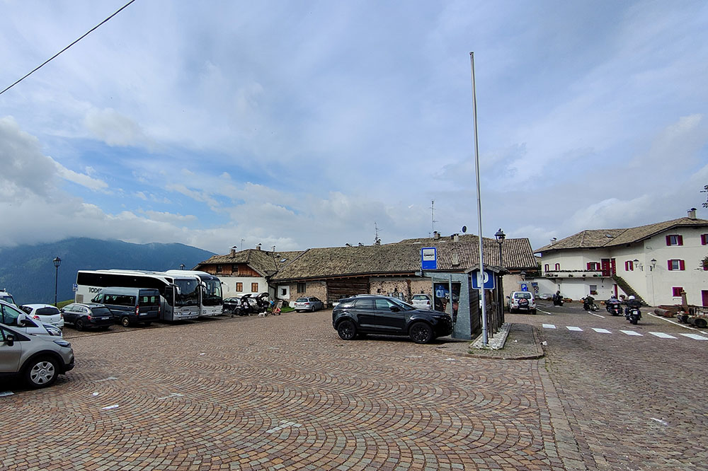
Parcheggio a Anterivo
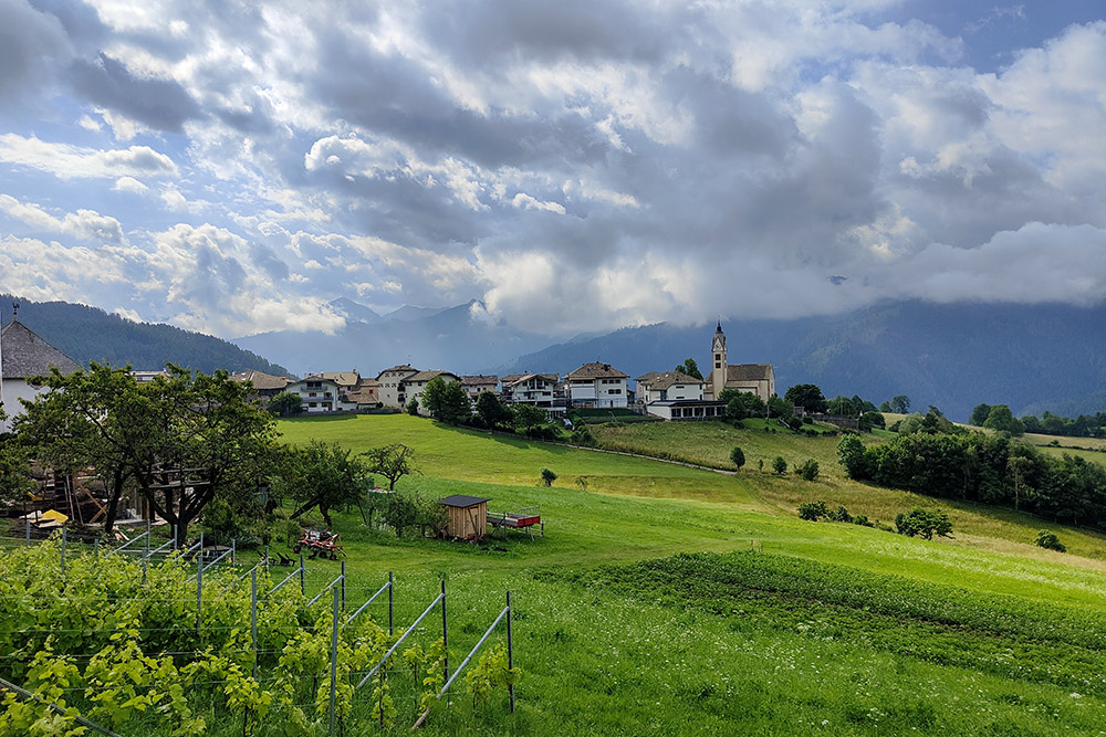
Il paese di Anterivo
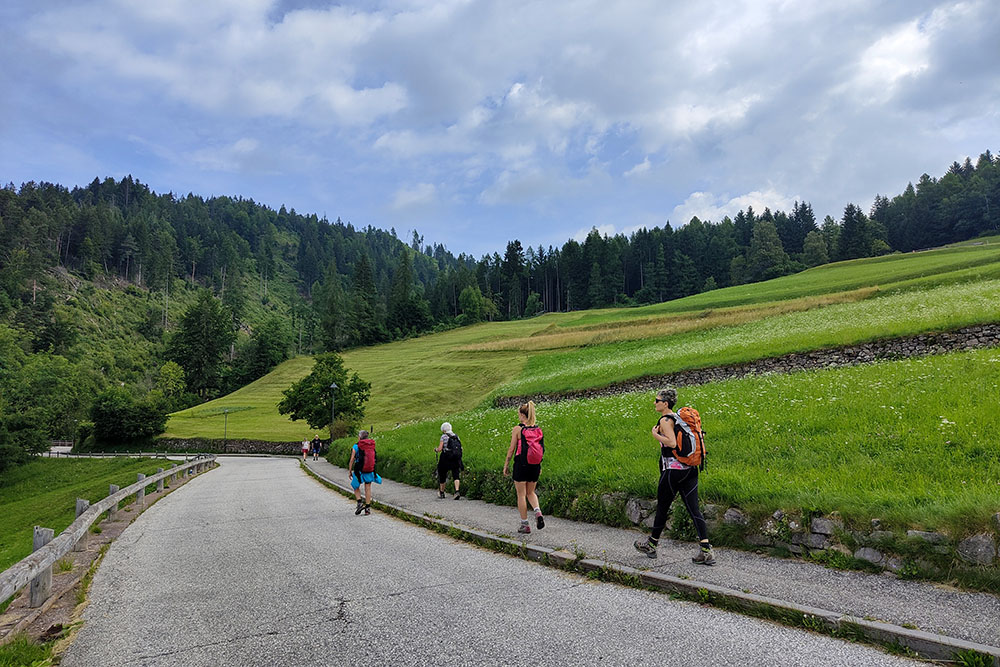
Primo tratto su asfalto
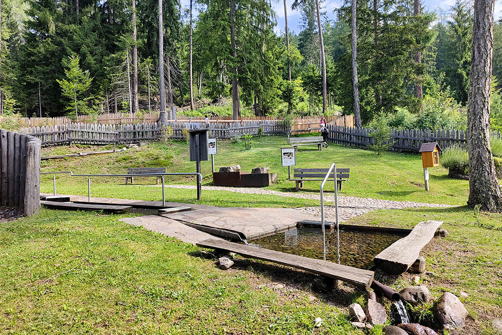
Percorso Kneipp
Ora si sale su strada sterrata
Arrivati a Passo Cisa
Si cammina nel bosco
Siamo vicini alla Malga Krabes

Si vedono il corno Bianco e il Corno Nero
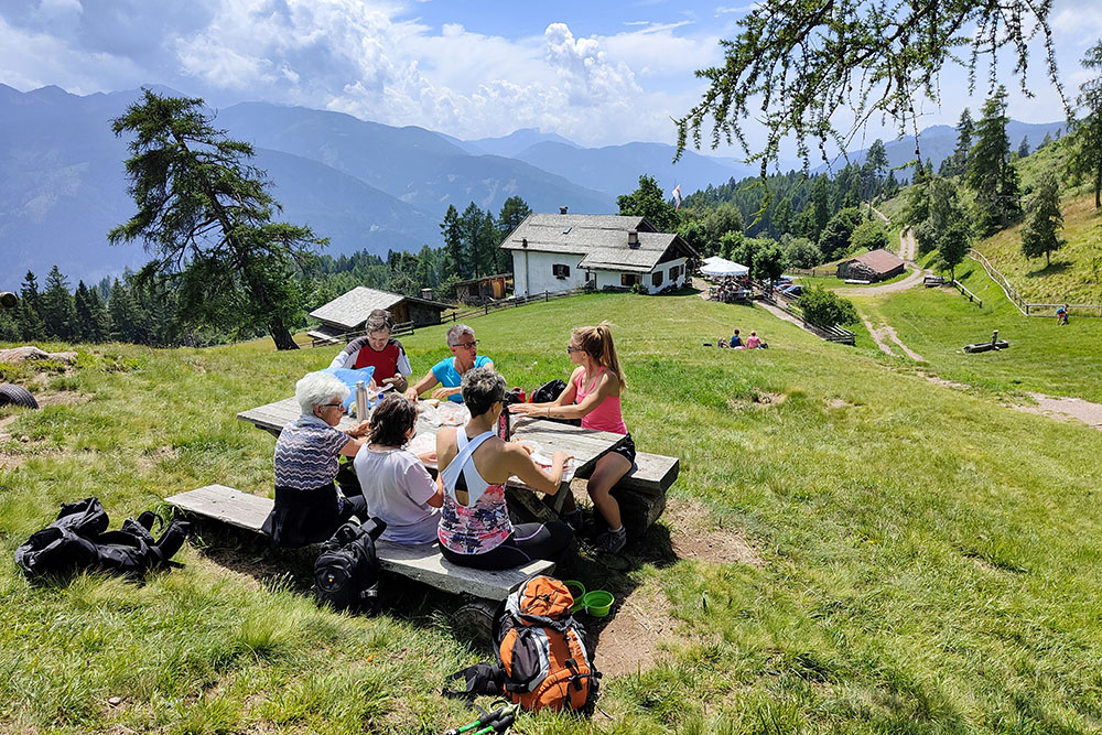
Pranzo alla Malga Krabes
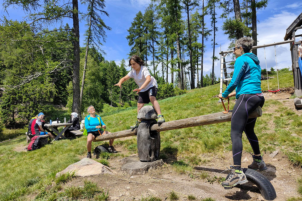
Momenti ludici
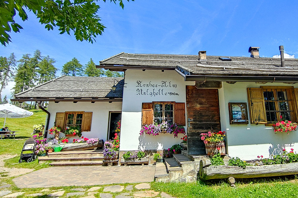
La Malga Krabes
La Malga Krabes
Sulla via del ritorno
Ritornati a Anterivo


