


![]()


Durata
 8:00 h
Distanza
 26,8 km
 Ascesa
 1452 m
Discesa
 1452 m
H Max
 1376 m
H Min
 64 m
64 mFrom Limone sul Garda to Riva del Garda via the Pregasina Ridges
DESCRIPTION
Fantastic route on the western Garda mountains.
The excursion we present offers you a unique experience, exploring the beauty of Alto Garda, Riva del Garda and Limone sul Garda. The departure takes place in the early morning from Riva del Garda, allowing participants to enjoy an extraordinary panoramic view of the entire Trentino Alto Garda region during the boat trip. Once you arrive in Limone sul Garda, an authentic pearl set on the shores of the lake, the walking route begins. It should be underlined that the proposed itinerary presents a certain challenge, both in terms of length and altitude difference. However, the effort will be amply rewarded by a spectacular panorama that is offered to the eyes of visitors.
The return to Riva del Garda will prove equally fascinating, crossing the famous Strada del Ponale, renowned for its extraordinary beauty. In this way, the entire excursion is transformed into an unforgettable experience of discovery, in which fatigue dissolves in the face of the magnificence of the surrounding landscapes.
ITINERARY
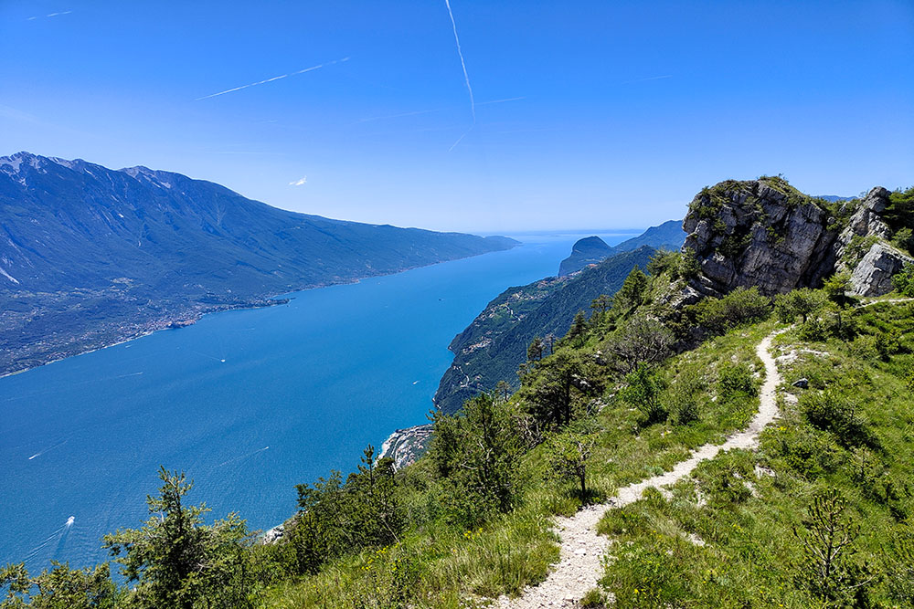
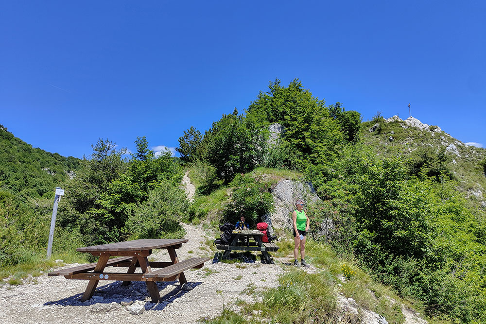
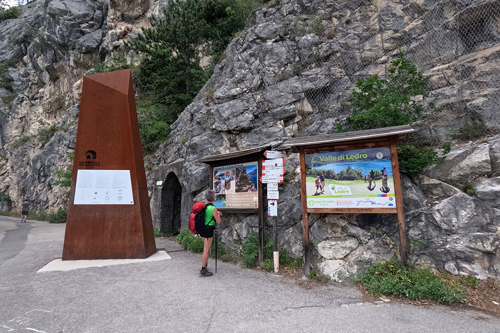
From the car park you go to the port to board the ferry that takes you to Limone sul Garda (67 m). Here you take the Vertical EE path n. 136 and go up to Cima Mughera (1161 m). Continuing on path no. 101 you arrive at Passo Guil (1209 m) and taking path no. 430 you climb to the Nara (1376 m) and Al Bal (1260 m) peaks and then descend to the Bocca da Lé (800 m). Now we descend on path n. 429 until you cross and follow the Antica via del Ponale. Once you reach the Belvedere (240 m) you return to Riva del Garda (67 m) along the beautiful Ponale cycle/pedestrian road.
EXCURSION DATE
June 24, 2023
STARTING POINT
Port of Riva del Garda
REFRESHMENT POINT
In Limone sul Garda and the Ponale Alto Belvedere restaurant
AUTHOR’S SUGGESTIONS
If the day is hot, bring plenty of water.
SAFETY TIPS
The viability of the proposed itinerary, like all mountain morphology, is subject to environmental changes due to natural events and weather conditions. Therefore, before leaving, consult the competent tourist offices and / or the refuges of reference.
Our GPX tracks are only indicative, that is, the route was carried out at best with the conditions of the trails and weather of that day. So always consider what to do on site.
Also remember to evaluate the route based on your physical abilities, training and the equipment you have.
You should leave someone the route you intend to do told.
Remember that the emergency number is 112.
EQUIPMENT
It is recommended to have the appropriate equipment for the route, weather conditions and season: windproof and / or rain jacket, map and / or GPS device, goggles, sunscreen, boots, first aid kit, specific clothing, gloves, backpack with food and drink.
RECOMMENDED MAPS
Tabacco 061 Alto Garda - Ledro - Monte Baldo Nord
INTERESTING LINKS
https://www.visitgarda.com/
HOW TO ARRIVE
Exit A22 Rovereto Sud-Lake Garda Nord. At the roundabout follow the signs for Riva del Garda and then on SS240 you pass Nago and Torbole and arrive in Riva del Garda.
PARKING AREA
Garda Public Parking - Riva del Garda.
GPS coordinates: 45.889144, 10.846726
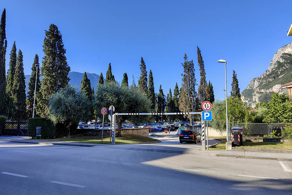
Parcheggio a Riva del Garda
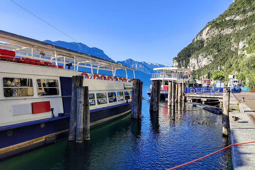
Al porto di Riva del Garda
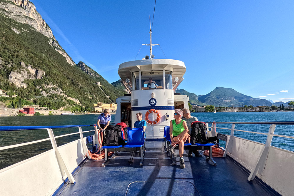
Sul battello
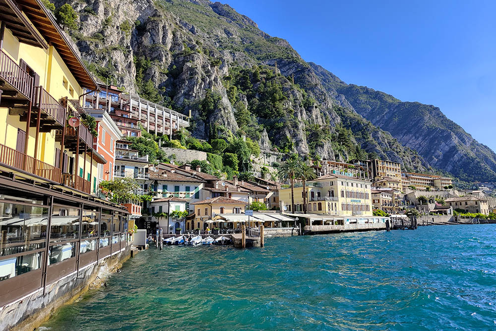
Siamo arrivati a Limone sul Garda
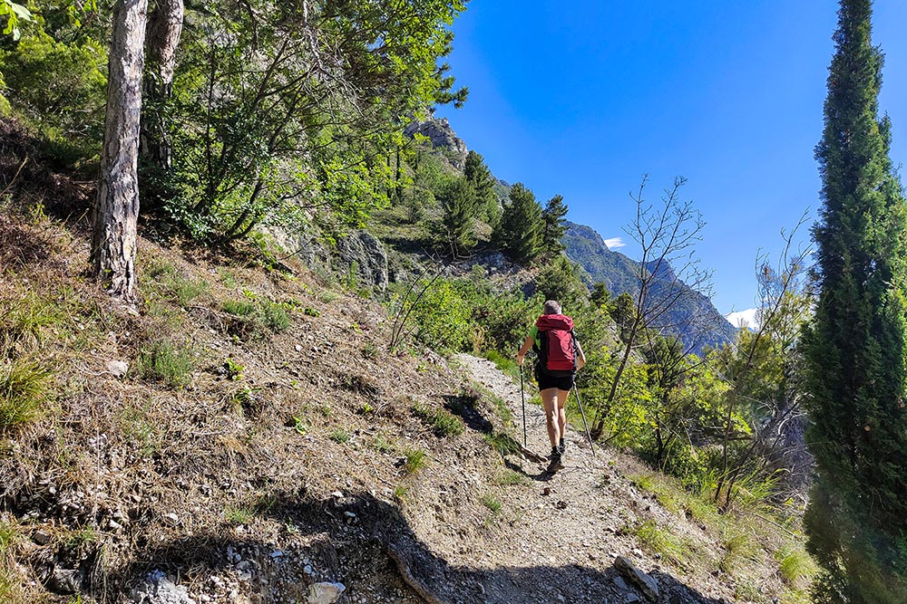
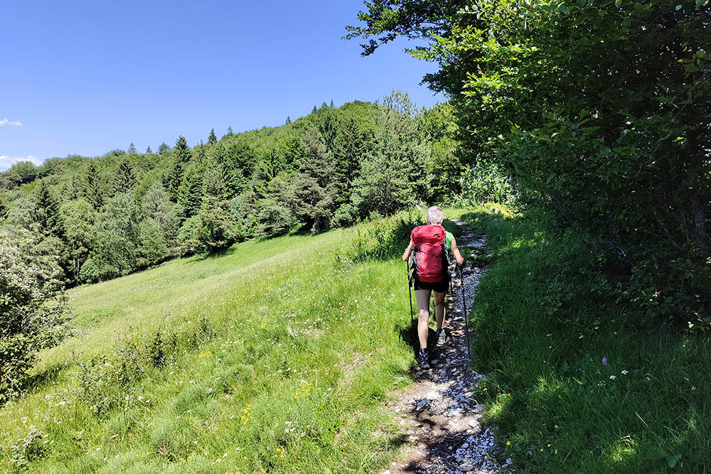
Saliamo per sentiero 136
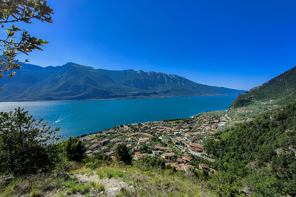
Vista sul lago e su Limone del Garda
Manca poco alla vetta del Monte Mughera
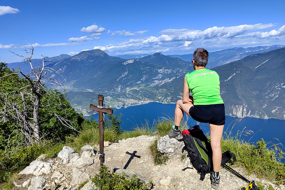
Arrivati in vetta del Monte Mughera
Lasciamo Passo Guil e prendiamo il sentiero 430
Vista dal Monte Al Bal
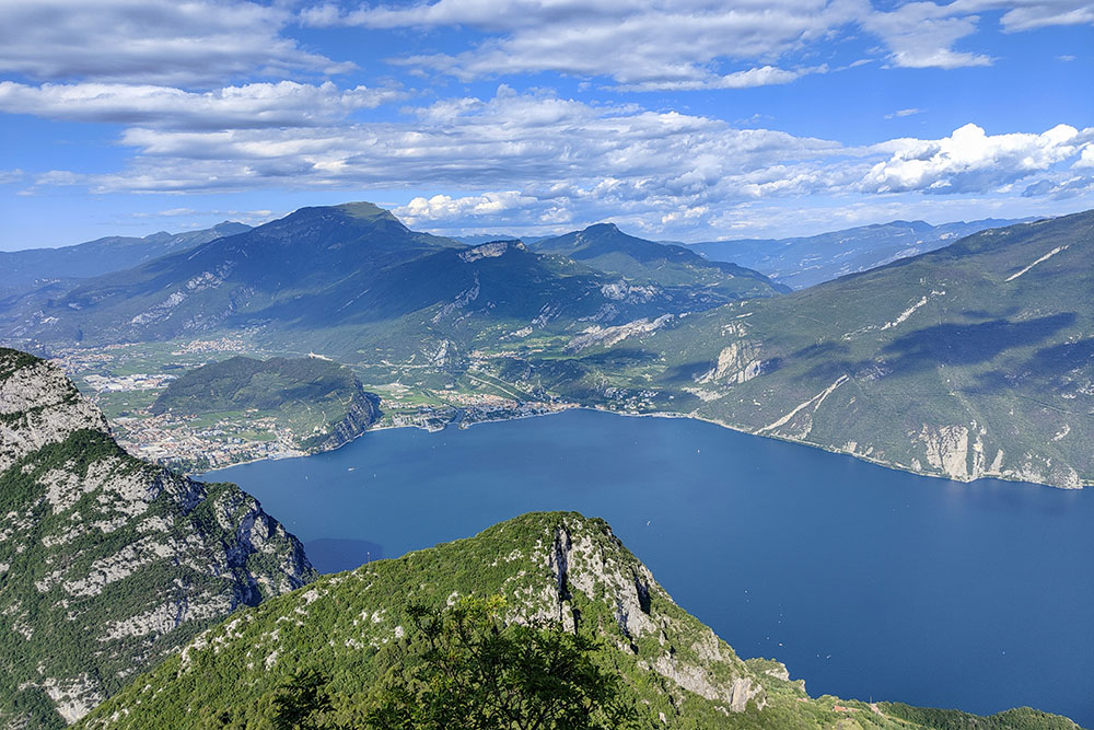
Panorama verso la parte trentina del Lago di Garda
Si scende su strada sterrata
Arrivati al Belvedere
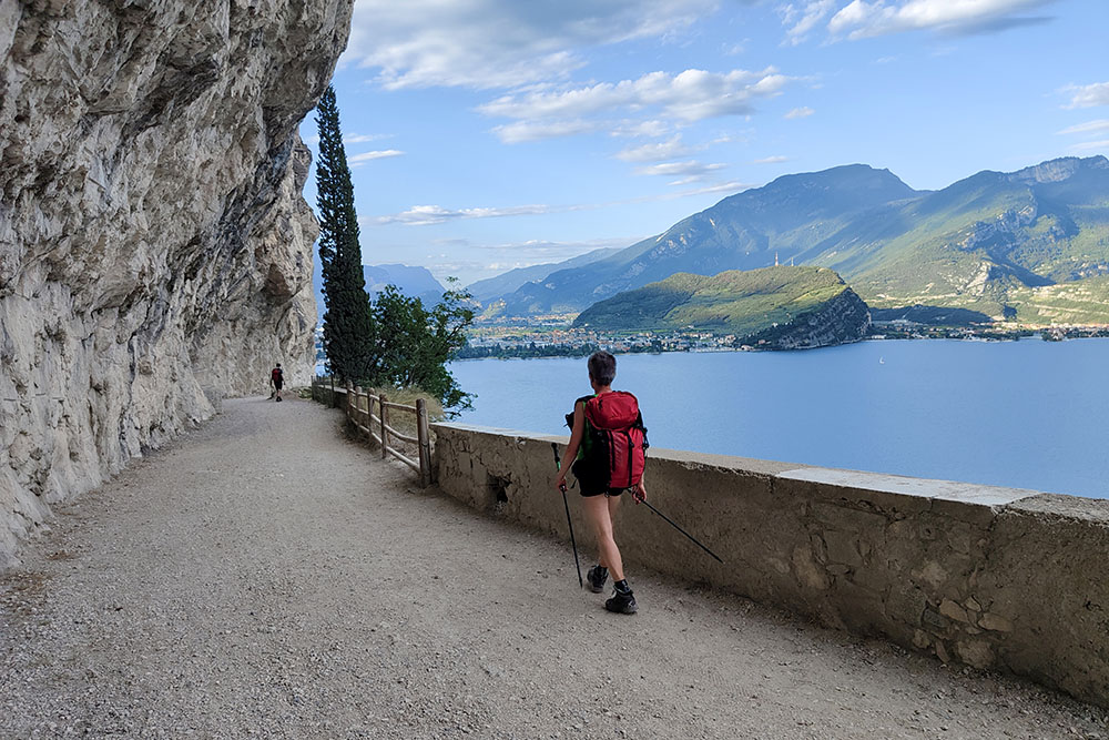
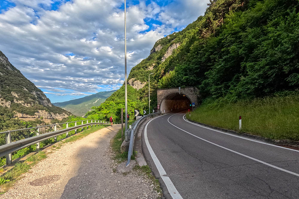
La vecchia Strada del Ponale
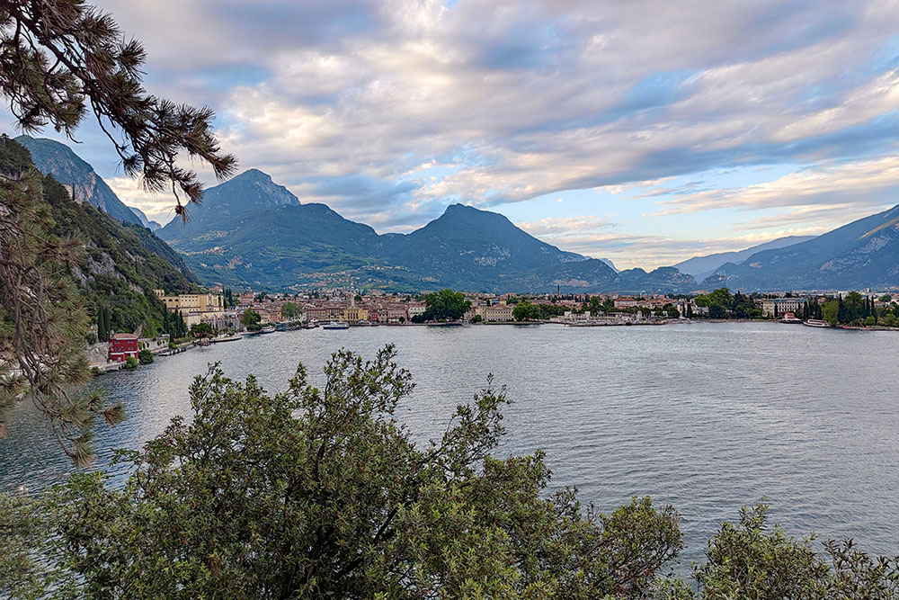
Vista su Riva del Garda


