


![]()


Durata
 4:30 h
Distanza
 11,8 km
 Ascesa
 577 m
577 mDiscesa
 577 m
577 mH Max
 526 m
526 mH Min
 67 m
67 mFrom Riva del Garda to Salò - 3 Sanctuaries and Croce di Salò
DESCRIPTION
Lake Garda and the hills of Salò: a journey between beauty and spirituality.
With this trek we invite you to discover the fascinating hills of Salò.
Did you know that there is an itinerary that takes you to discover three sanctuaries near Salò?
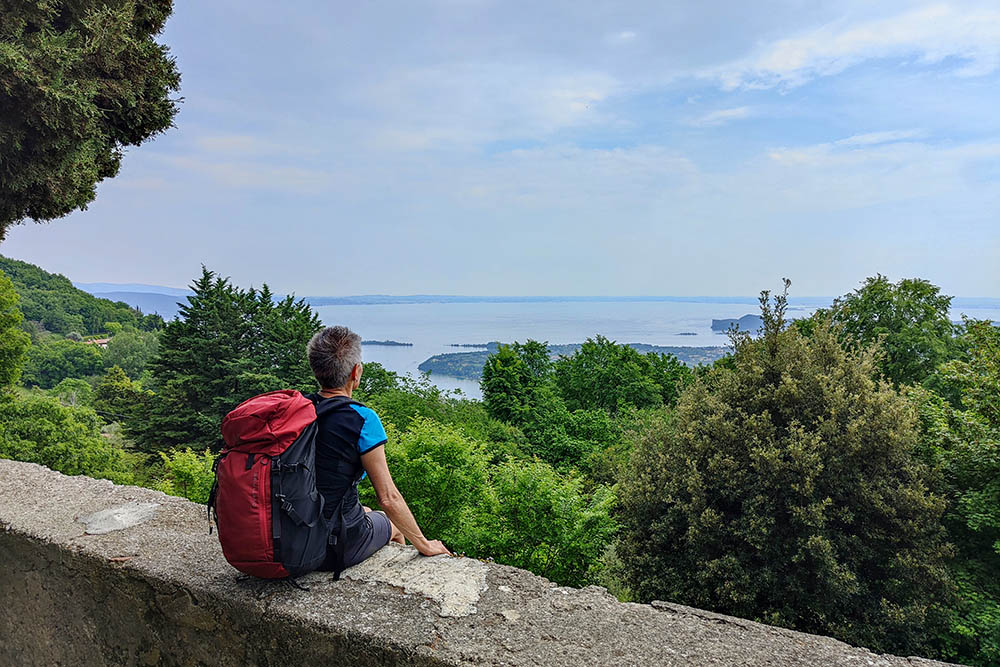
This circular route, which can be covered entirely on foot in about 5 hours, is perfect for those who have a bit of training and offers two spectacular panoramic points over Lake Garda: the Corna and the Croce di Salò.
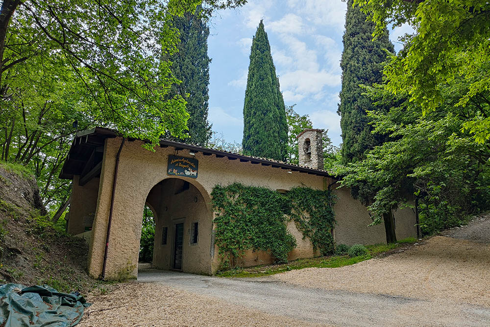
The walk of the Three Churches of Salò combines the pleasure of walking along the lake with the discovery of important historical works. The three main sanctuaries in the area are: San Bartolomeo, the Madonna del Buon Consiglio and the Madonna del Rio.
For a complete adventure, we recommend combining the outward boat crossing with the return trip by bus, just like we did. Starting from Riva del Garda by boat, we were able to admire the beauty of the various villages overlooking the Benaco: from Limone sul Garda to Malcesine, from Gargnano to Maderno, up to Gardone and Salò. The view from the lake is simply fantastic!
ITINERARY
Having parked the car, head to the port of Riva del Garda in Piazza Catena (67 m). Here you take the direct ferry to Salò. After about 1 hour and 50 minutes you arrive at the port of Salò (67 m). Follow a stretch of lakeside - heading west - and then go up to Renzano (185 m) following trail sign 216B. Continue on 216 and after 10 minutes you reach the Sanctuary of the Madonna del Rio (176 m) and the beautiful nearby waterfall (200 m). You continue to climb on 216 following the signs for Bagnolo and you arrive at the second sanctuary; Sanctuary of the Madonna del Buon Consiglio (526 m). Now take path 217B and passing through Passo della Stacca (462 m) you reach the Sanctuary of San Bartolomeo (490 m). Continue on 217 towards La Corna. You arrive at the Croce di Salò (466 m). Now all that remains is to return to the starting point. You return to Riva del Garda by bus.
EXCURSION DATE
May 12, 2024
STARTING POINT
Riva del Garda
REFRESHMENT POINT
In Salò
AUTHOR’S SUGGESTIONS
Given the low altitude it is recommended to do it during the cool seasons. During the route, near Renzano, you will find the only drinking fountain where you can stock up on water.
SAFETY TIPS
The viability of the proposed itinerary, like all mountain morphology, is subject to environmental changes due to natural events and weather conditions. Therefore, before leaving, consult the competent tourist offices and / or the refuges of reference.
Our GPX tracks are only indicative, that is, the route was carried out at best with the conditions of the trails and weather of that day. So always consider what to do on site.
Also remember to evaluate the route based on your physical abilities, training and the equipment you have.
You should leave someone the route you intend to do told.
Remember that the emergency number is 112.
EQUIPMENT
It is recommended to have the appropriate equipment for the route, weather conditions and season: windproof and / or rain jacket, map and / or GPS device, goggles, sunscreen, boots, first aid kit, specific clothing, gloves, backpack with food and drink.
RECOMMENDED MAPS
Tabacco 078 Garda Occidentale - Salò - Val Sabbia - L. d’Idro
INTERESTING LINKS
https://www.tuttogarda.it/salo/salo_piste.htm
HOW TO ARRIVE
A22 exit Rovereto Sud/Lago di Garda Nord and then the SS240 to Riva del Garda.
PARKING AREA
Free in Riva del Garda, Kostenloser Parkplatz.
GPS coordinates: 45.892209, 10.847545
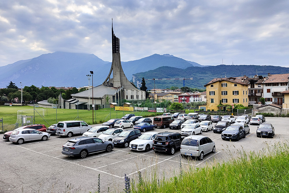
Parcheggio a Riva del Garda
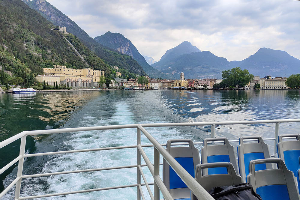
Partenza con il battello
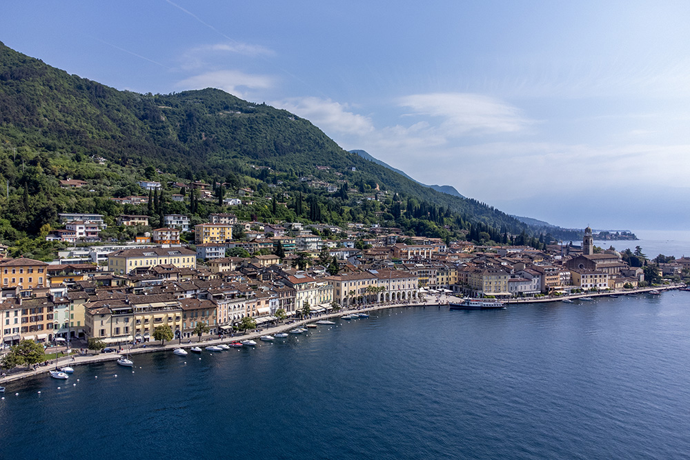
Arrivati a Salò
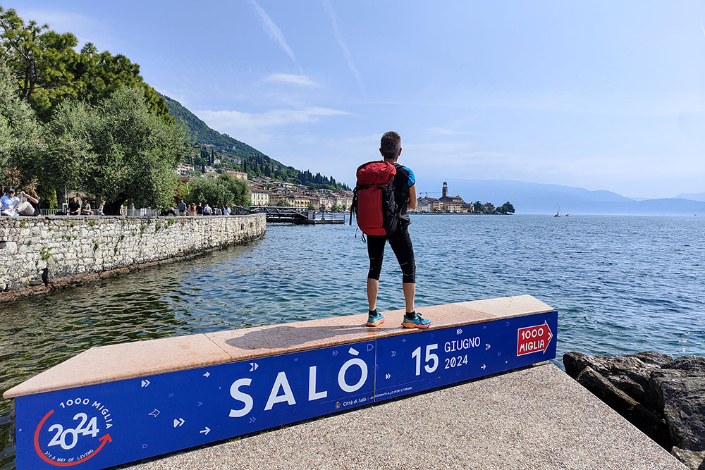
Lungolago a Salò
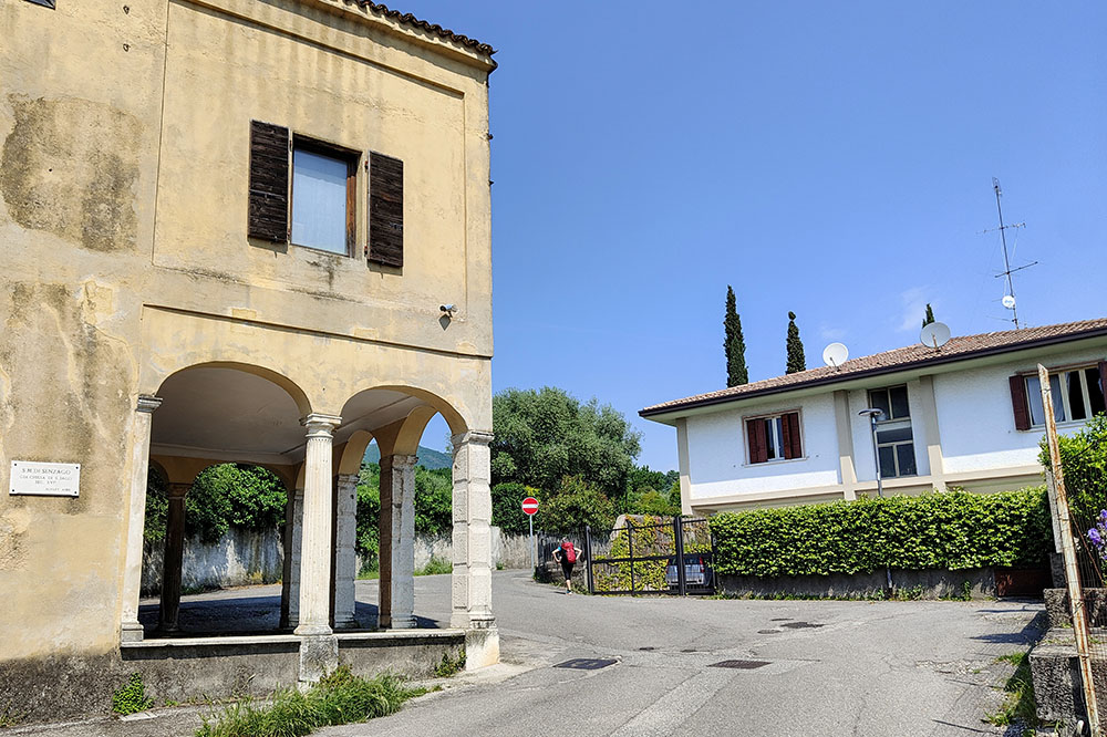
Si sale a Renzano
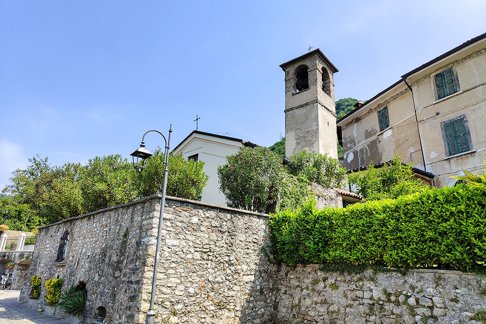
Chiesa dei SS Nazario e Celso
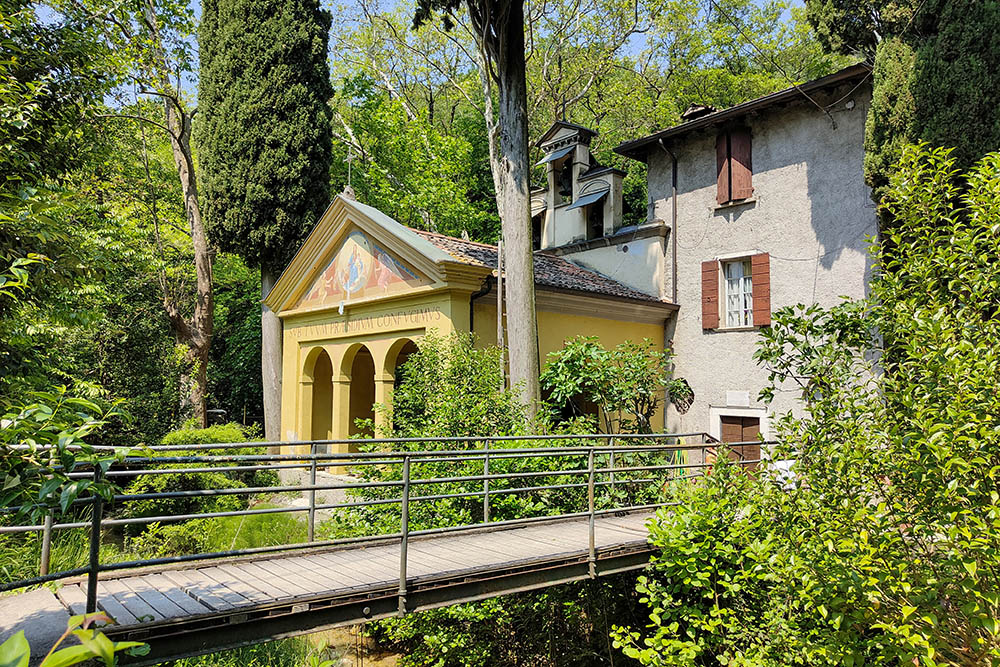
Santuario della Modonna del Rio
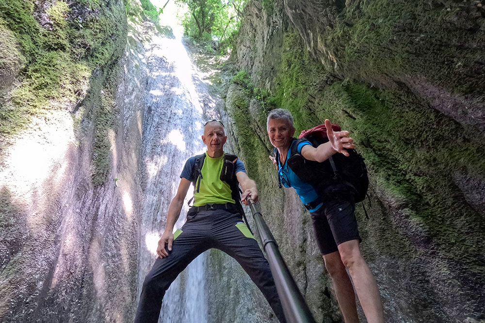
Cascata vicino al Santuario
Santuario della Madonna del Buon Consiglio
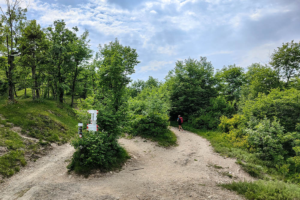
Passo alla Stacca
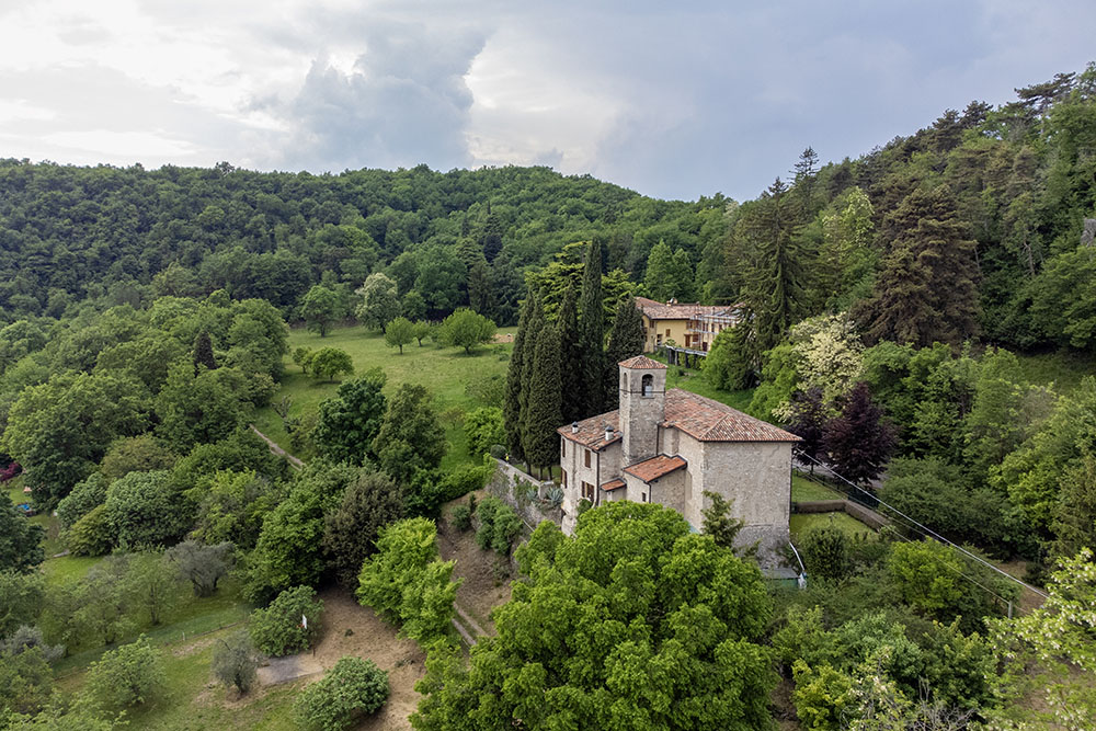
Santuario San Bartolomeo
Vista della terrazza del santuario
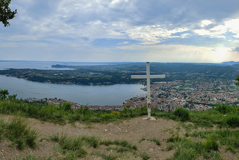
Panorama dalla Croce di Salò
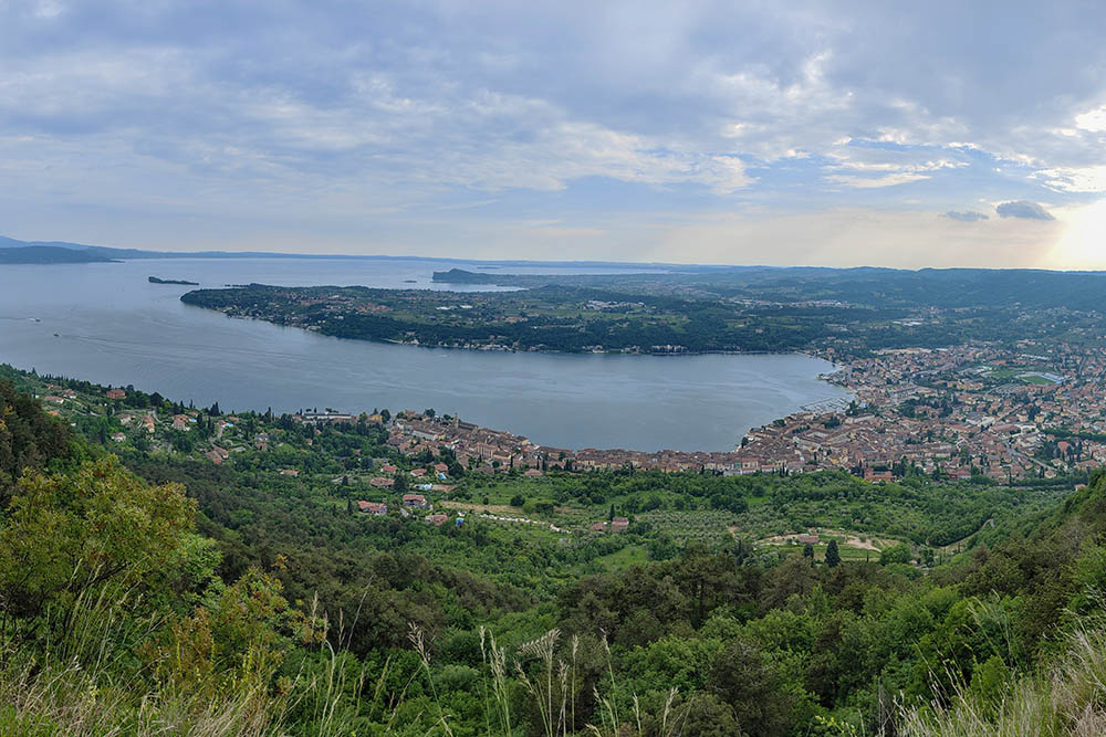
Panorama da La Corna
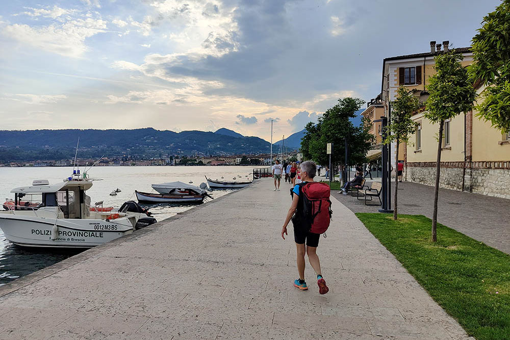
Ritornati a Salò


