


![]()


Durata
 4:35 h
Distanza
 30,9 km
 Ascesa
 1185 m
Discesa
 1185 m
H Max
 1160 m
H Min
 94 m
94 mMTB Tour 759 Monte Velo and Malga Zanga
DESCRIPTION
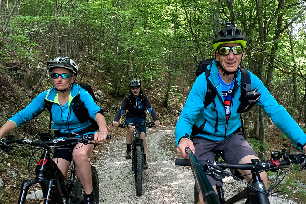
An e-bike ride on Monte Velo in the Conca di Arco.
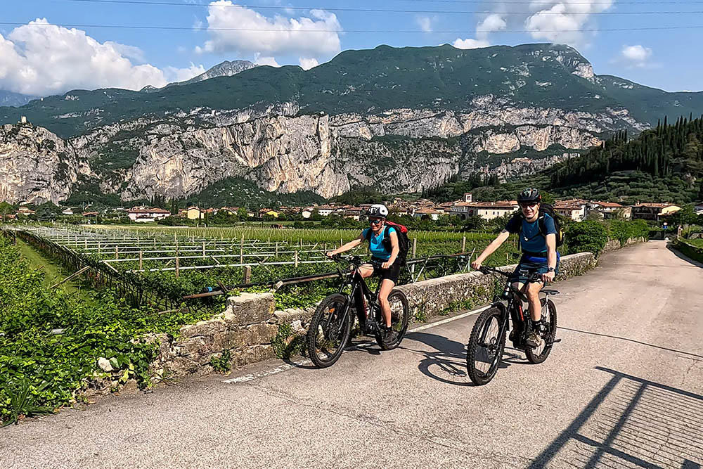
We offer you an enchanting e-bike excursion in the surroundings of Arco, in the suggestive Trentino. This spring or autumn adventure will take you through a path without particular difficulties, suitable for all skill levels.
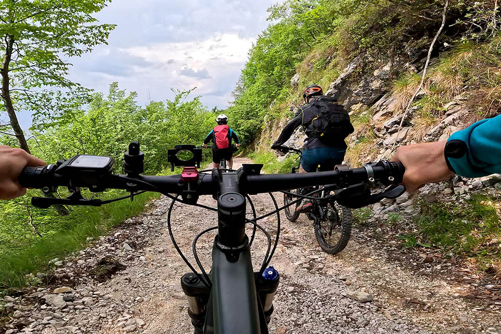
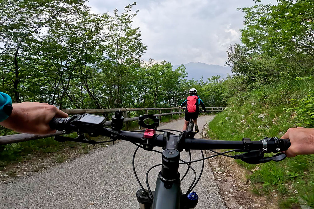
The route is characterized by completely paved or dirt roads, offering a variety of landscapes to admire along the way. During the excursion, an unmissable stop is the stop at the picturesque Malga Zanga, a refuge with a unique charm. Here you can delight your palate with their delicious sweets, while you relax your muscles.
During the ascent to Monte Corno, we recommend that you make a stop at the military stronghold of the First World War. This historic site will allow you to explore the remains of the past and admire a splendid panorama of Lake Garda. The panoramic view will be a perfect reward for the efforts made during the ascent.
We have chosen to tackle the excursion with an e-bike, but it is also possible to undertake it with a traditional bicycle. The choice is yours, based on your preferences and the level of challenge you wish to tackle.
In summary, this magnificent e-bike excursion around Arco will give you the opportunity to explore enchanting landscapes, taste local delicacies and immerse yourself in the history of the region.
ITINERARY
From Moletta di Arco (94 m) you take secondary roads passing through the hamlets of San Martino, Massone and Bogognano. Here the climb begins, first on a paved road and then on a dirt road. You arrive at Monte Corno (730 m) and then at Malga Fiavei (920 m) - ruined malga. Continue uphill, but much gentler, and you arrive at Malga Zanga (1140 m). Always following the signs for Tour 759, you arrive at Passo Due Sassi (1160 m). Now you go down arriving at Carobbi and then at the starting point.
EXCURSION DATE
May 28, 2023
STARTING POINT
Locality of Moletta di Arco
REFRESHMENT POINT
Malga Zanga
AUTHOR’S SUGGESTIONS
We advise you to do it in not too hot periods.
SAFETY TIPS
The viability of the proposed itinerary, like all mountain morphology, is subject to environmental changes due to natural events and weather conditions. Therefore, before leaving, consult the competent tourist offices and / or the refuges of reference.
Our GPX tracks are only indicative, that is, the route was carried out at best with the conditions of the trails and weather of that day. So always evaluate what to do on site.
Also remember to evaluate the route based on your physical abilities, the training and the equipment you have.
For e-bike owners: evaluate the kilometers and the altitude difference in relation to the battery power and the weight of the cyclist well.
You should leave someone the route you intend to do told.
Remember that the emergency number is 112.
EQUIPMENT
It is recommended to have the appropriate equipment for the route, weather conditions and season: helmet, windproof and / or rain jacket, map and / or GPS device, goggles, helmet and / or handlebar torch (an unexpected event may lengthen the travel times), sunscreen, MTB shoes, first aid kit, bike repair kit, specific clothing, whistle or signal bell, reflective bike wheels, gloves, backpack with food and drinks.
RECOMMENDED MAPS
Tabacco 055 Arco - Valle del Sarca - Valle dei Laghi
INTERESTING LINKS
https://www.gardatrentino.it/it/scopri/localita/arco
HOW TO ARRIVE
From Riva del Garda SS45 bis in the direction of Trento, up to the town of Arco, then continue up to the locality of Moletta.
PARKING AREA
Moletta di Arco
GPS coordinates: 45.931345, 10.895670
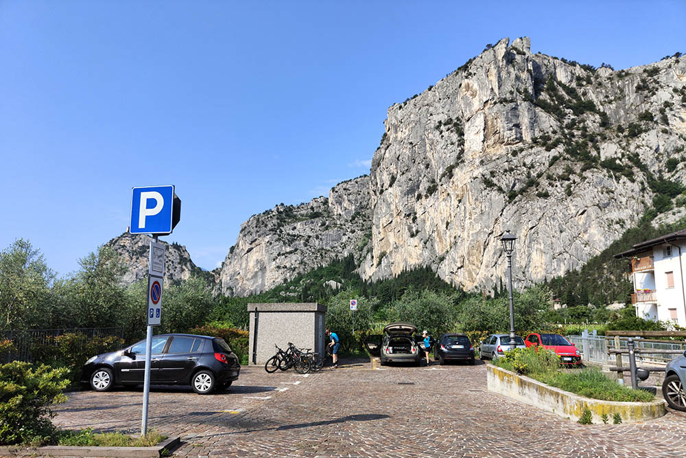
Parcheggio località Moletta di Arco
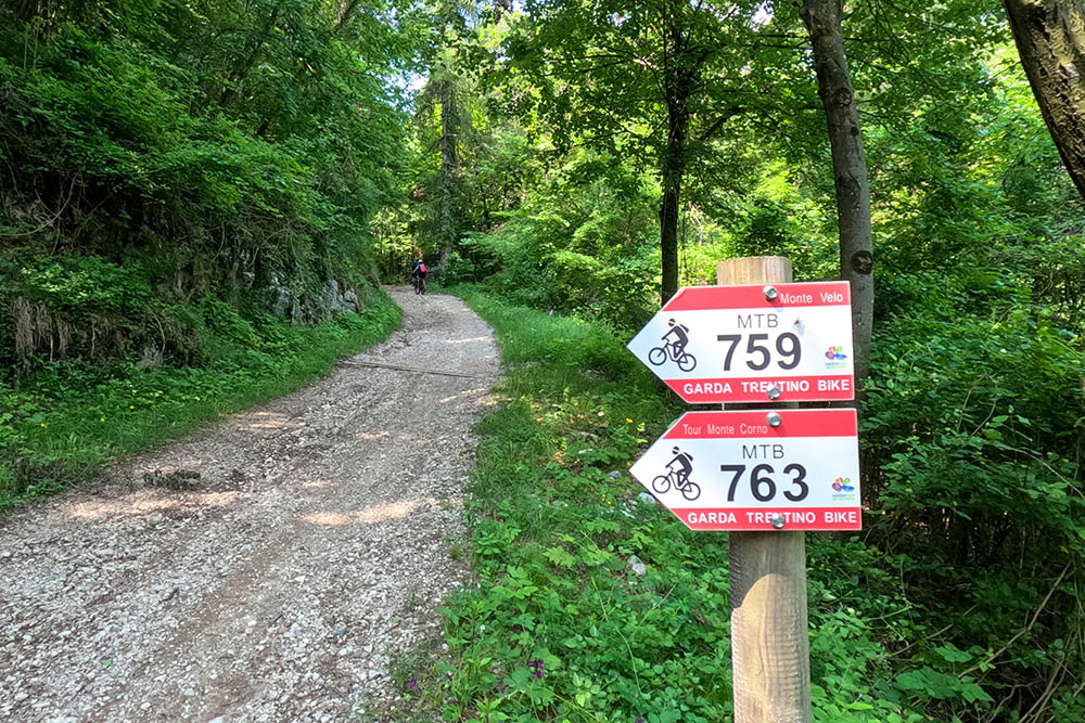
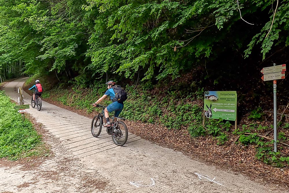
Seguiamo il segnavia 759
Inizia la salita
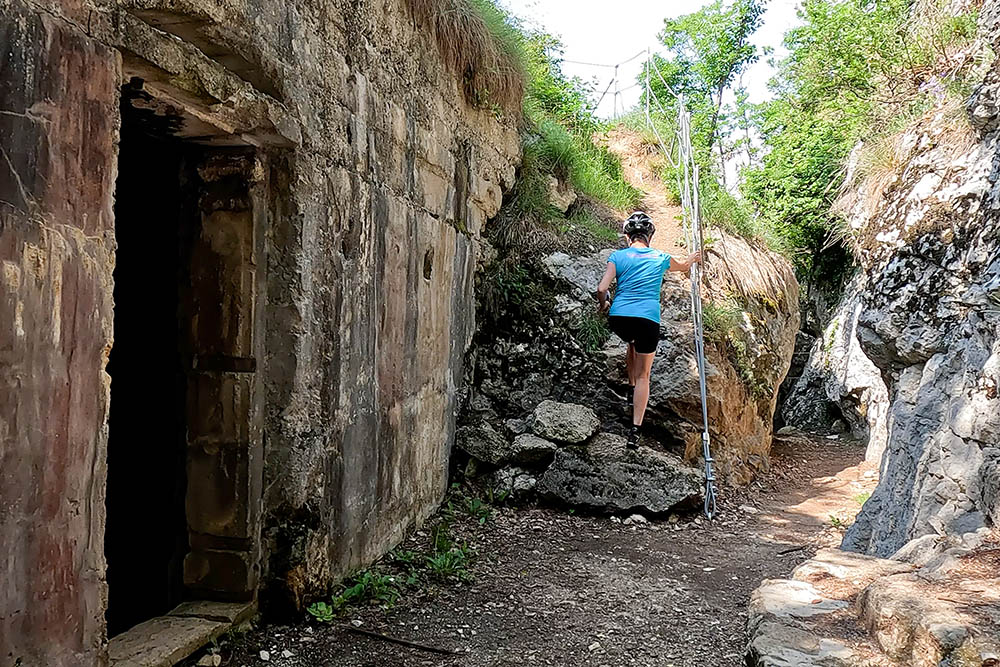
Arrivati al Caposaldo di Monte Corno
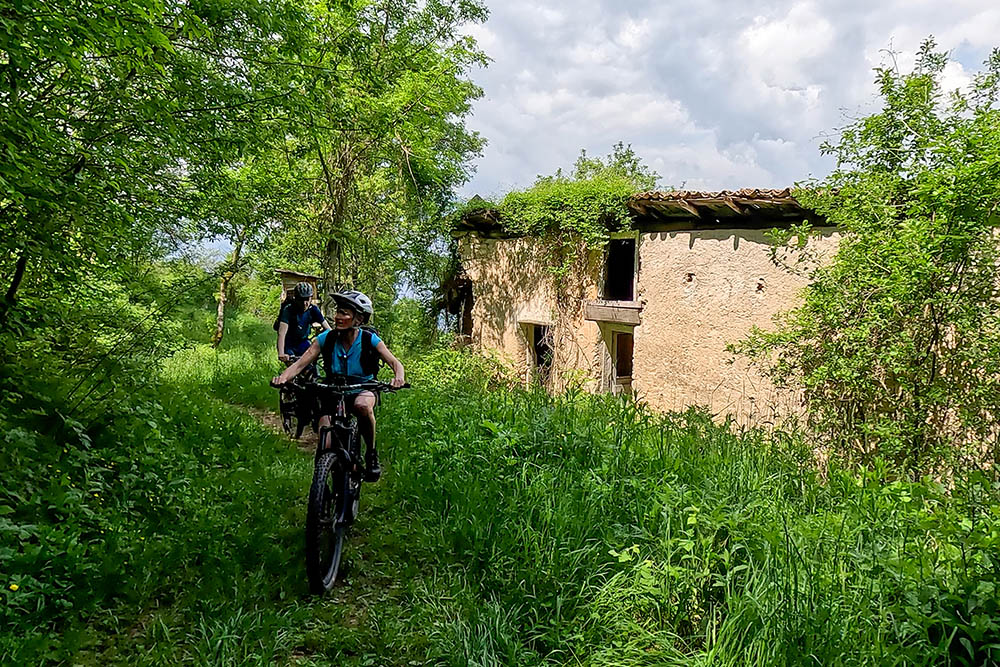
Malga Fiavei
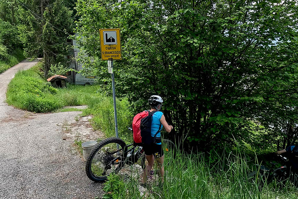
Deviazione per la Chiesetta di San Francesco
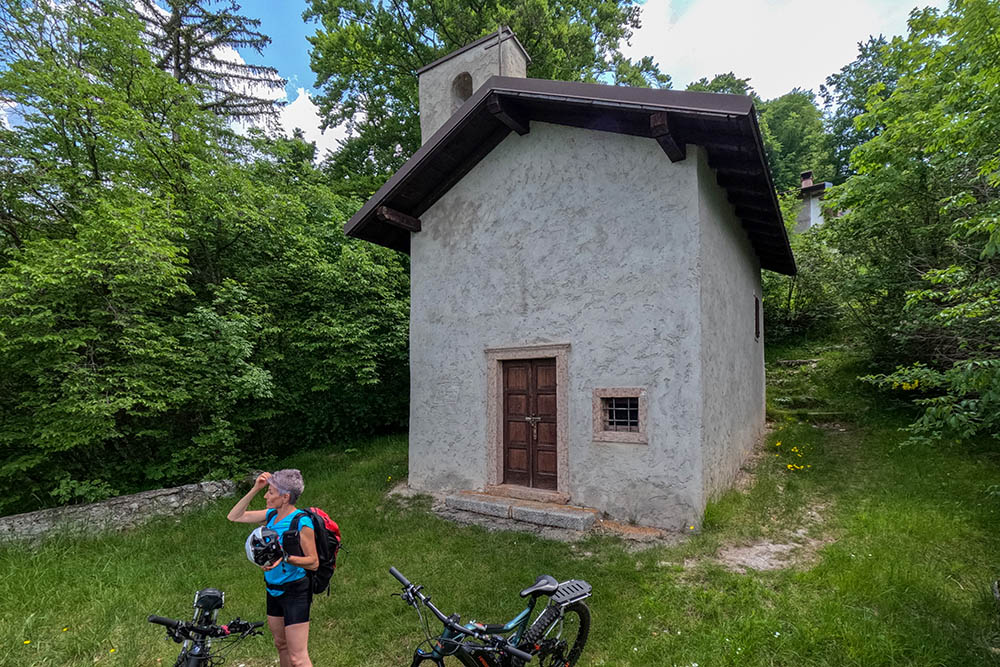
Chiesetta di San Francesco
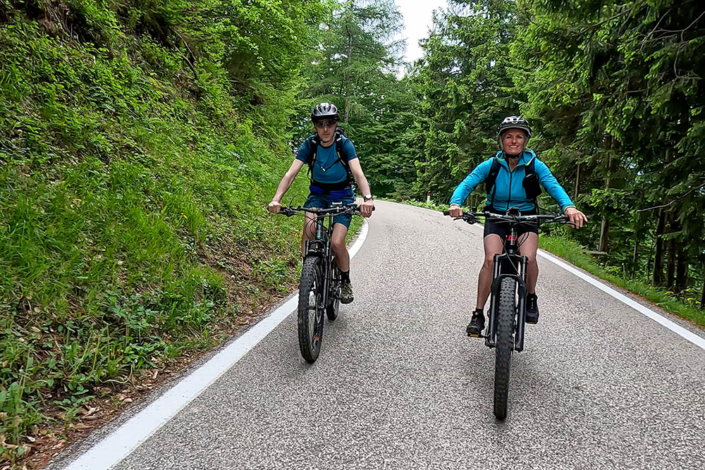
Tratto su asfalto
Saliamo alla Malga Zanga
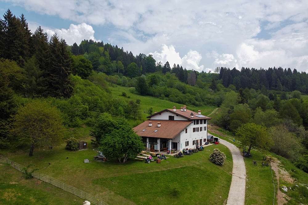
Malga Zanga
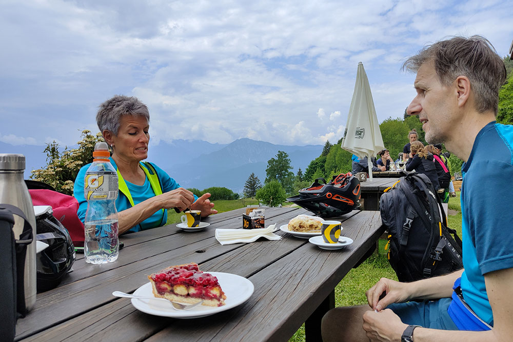
Ottima merenda
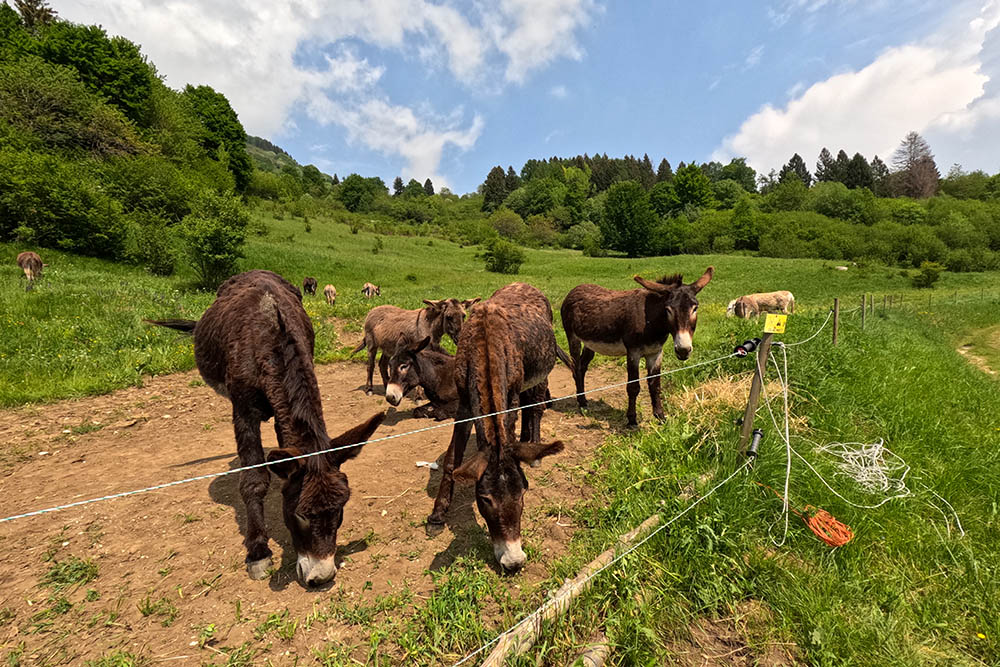
Gli asini di Malga Zanga
Si scende su comoda strada sterrata
Si scende su comoda strada sterrata
Ultimo tratto asfaltato


