


![]()


Durata
 4:55 h
Distanza
 11 km
11 km Ascesa
 772 m
772 mDiscesa
 772 m
772 mH Max
 2487 m
H Min
 1808 m
Cima Pala di Santa from Passo di Lavazè
DESCRIPTION
Among the Fiemme Dolomites: discovering the Pala di Santa.
La Pala di Santa is a mountain located within the Fiemme Dolomites, which forms the border between the provinces of Trento and Bolzano. Geographically, it is located between the Lavazè Pass and the Pampeago Pass, between the Val di Stava and the Val D'Ega.
Although it is not a particularly beautiful mountain in itself, from its top it is possible to enjoy a magnificent panorama of the Val di Fiemme and Fassa, the Pale di San Martino, the Latemar and Catinaccio Groups, the Corno Nero and the Corno Bianco. Furthermore, you can admire the view of the towns of Nova Ponente and Monte San Pietro, together with the sanctuary of Pietralba.
ITINERARY
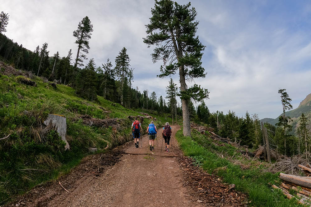
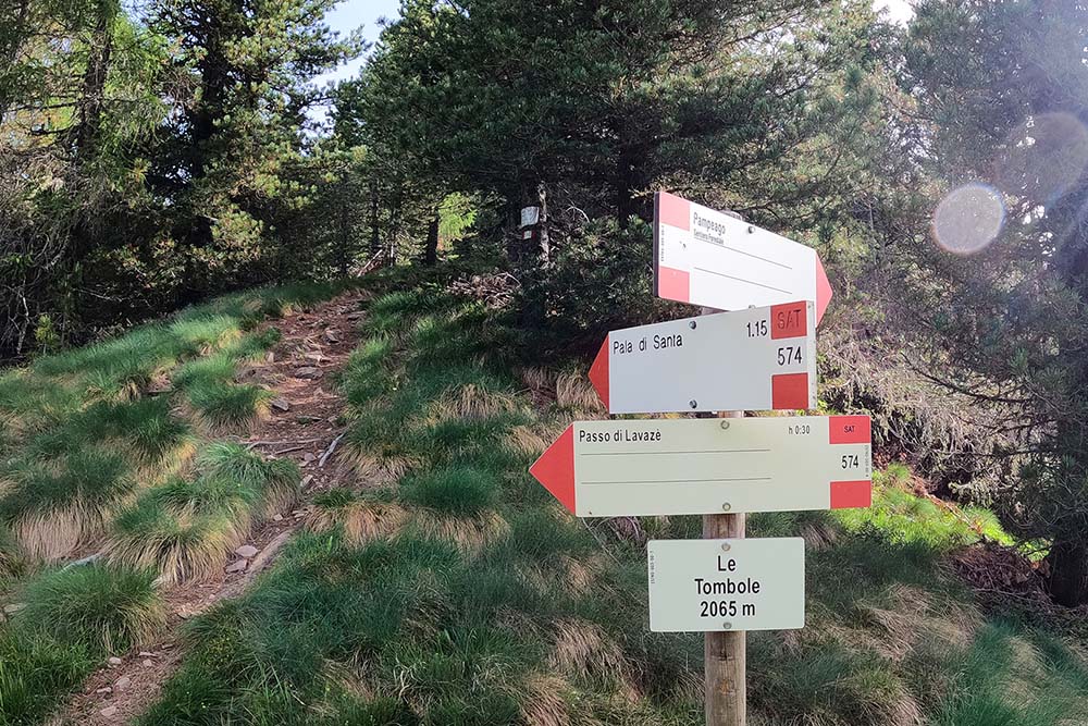
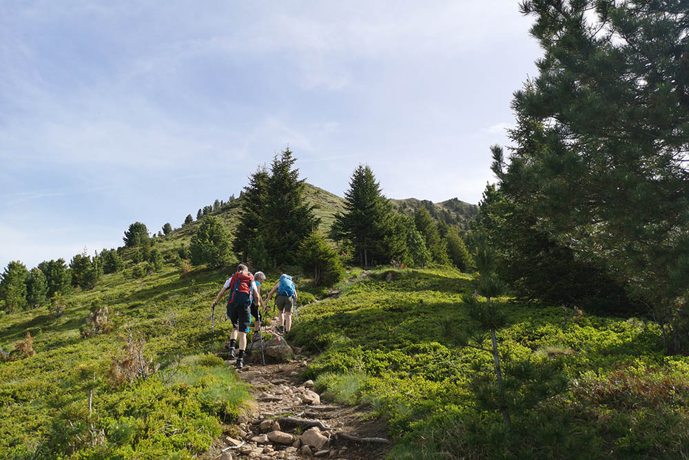
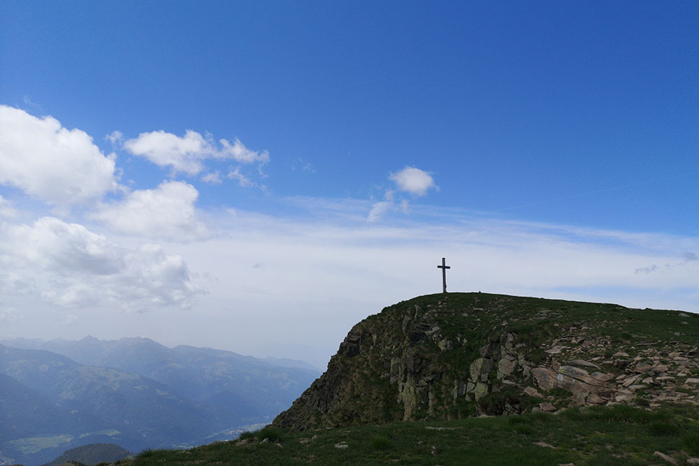
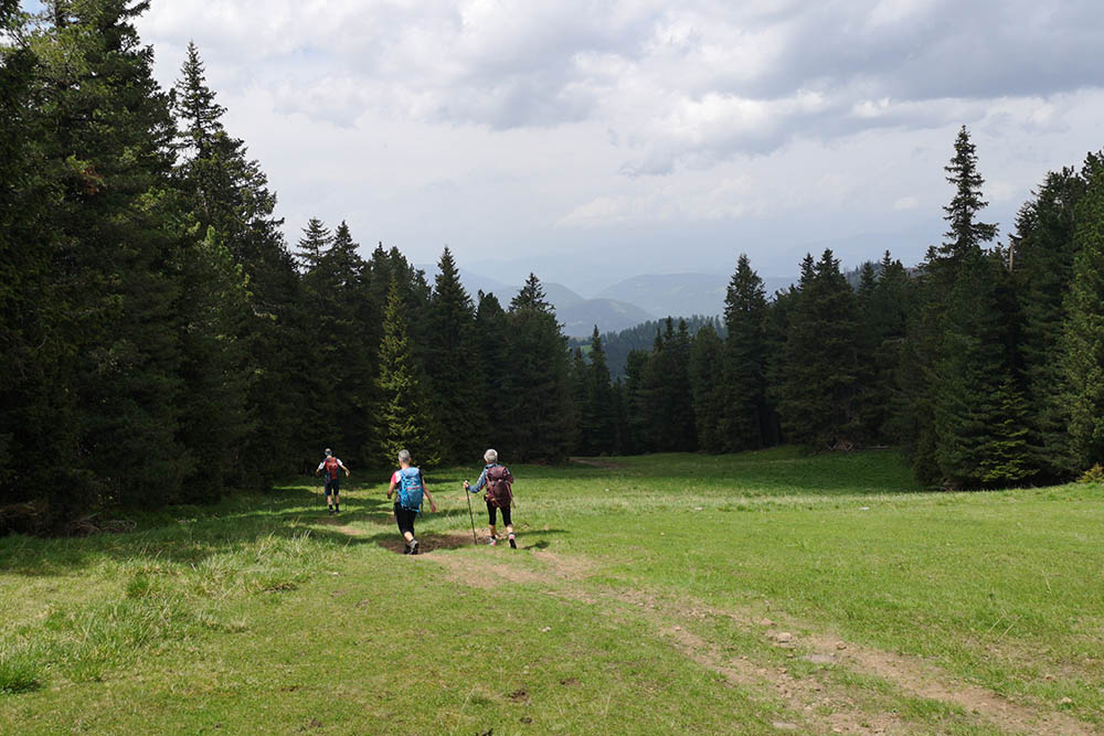
From Passo Lavazé (1805 m) we follow trail sign no. 574, direction Pala di Santa. The first stretch is on a dirt road and then on a path. After approximately 2.2 km the path becomes steeper and you arrive at Cima Pala di Santa/Zanggen Berg (2487 m).
We continue the circular tour, always on the 574, arriving at Passo di Pampeago/Reiterjoch (1983 m). Here we take path no. 9 which will take us back to the starting point.
EXCURSION DATE
June 5, 2022
STARTING POINT
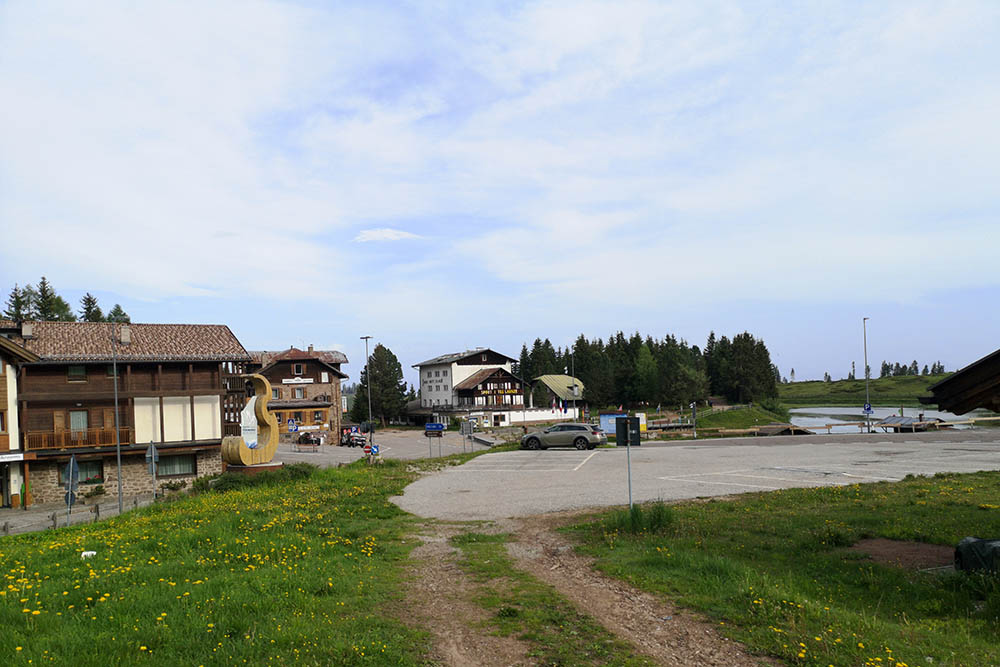
Lavazé Pass
REFRESHMENT POINT
Nobody
AUTHOR’S SUGGESTIONS
Go around counterclockwise.
SAFETY TIPS
The viability of the proposed itinerary, like all mountain morphology, is subject to environmental changes due to natural events and weather conditions. Therefore, before leaving, consult the competent tourist offices and / or the refuges of reference.
Our GPX tracks are only indicative, that is, the route was carried out at best with the conditions of the trails and weather of that day. So always consider what to do on site.
Also remember to evaluate the route based on your physical abilities, training and the equipment you have.
You should leave someone the route you intend to do told.
Remember that the emergency number is 112.
EQUIPMENT
It is recommended to have the appropriate equipment for the route, weather conditions and season: windproof and / or rain jacket, map and / or GPS device, goggles, sunscreen, boots, first aid kit, specific clothing, gloves, backpack with food and drink.
RECOMMENDED MAPS
Tabacco 014 Val di Fiemme - Lagorai – Latemar
INTERESTING LINKS
https://www.lavaze.com/it
HOW TO ARRIVE
From Val d'Ega following the SS241 and SS620 or from Val di Fiemme exactly in Cavalese along the SS620 you reach Passo di Lavazè.
PARKING AREA
At Passo Lavazé
GPS coordinates: 46.354457, 11.492857
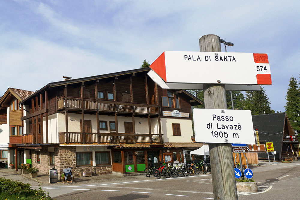
Passo di Lavazè
Parcheggio a Passo di Lavezè
Si sale seguendo il segnavia 574
In Località Le Tombole inizia il sentiero di cresta
Sentiero di cresta
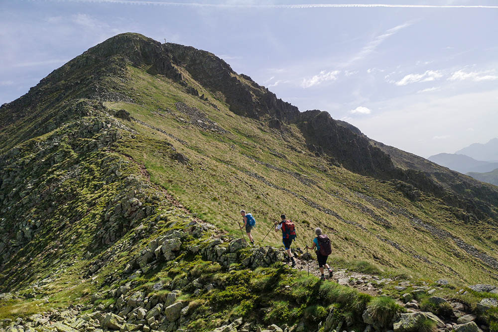
Sentiero di cresta
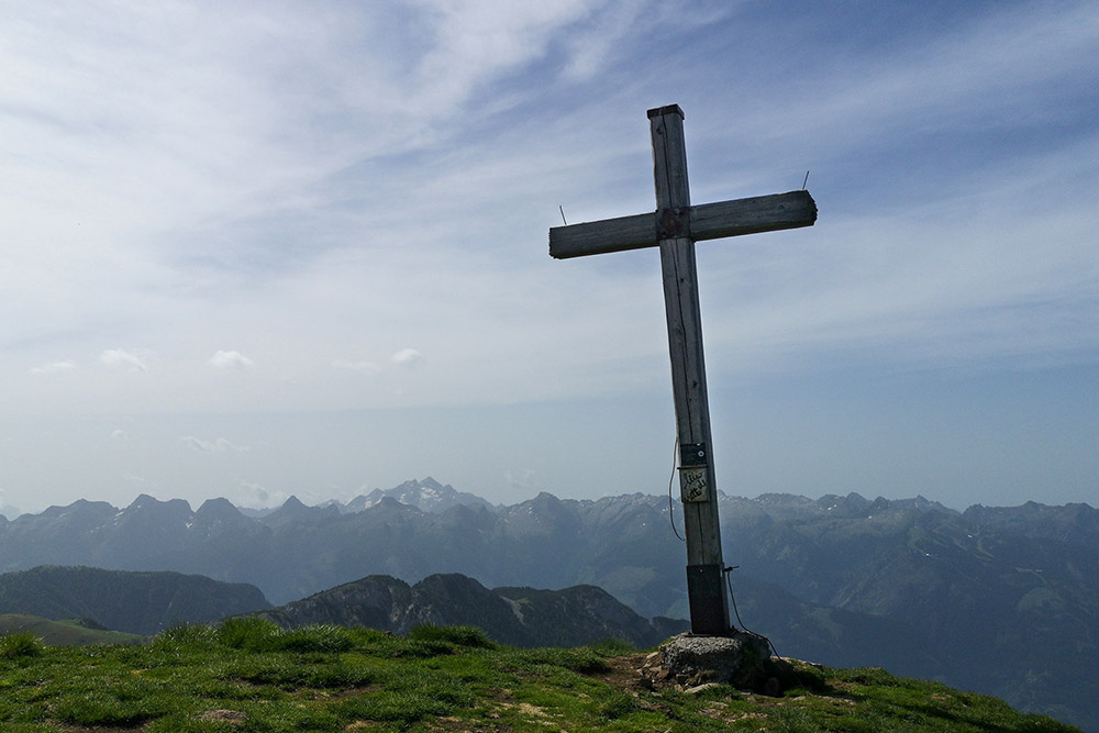
In vetta a Pala di Santa
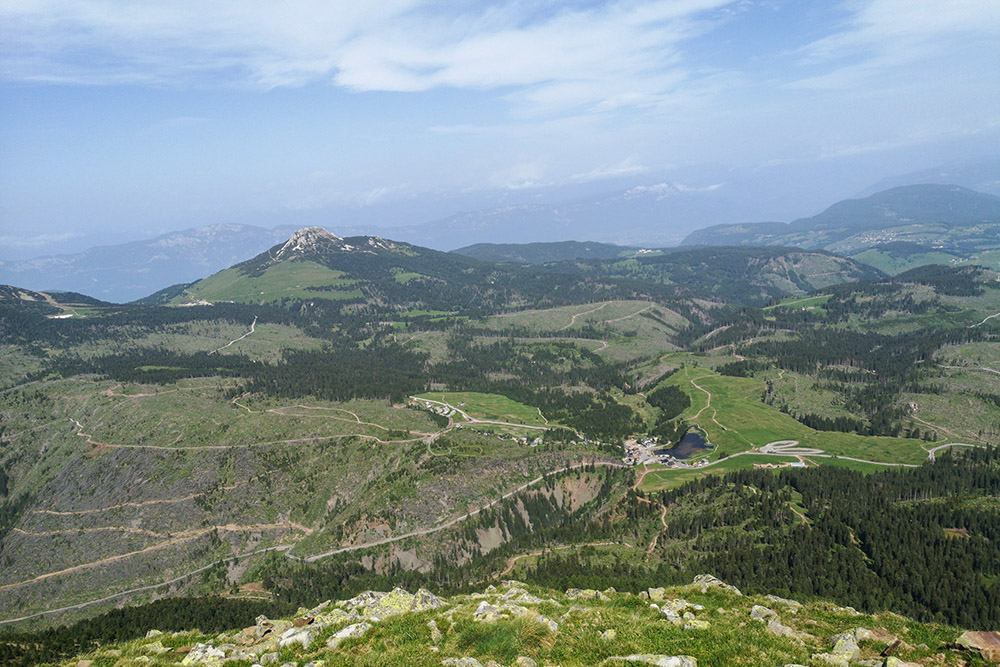
Panorama verso il Passo di Lavazè
Si scende verso Passo Pampeago
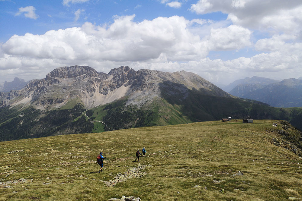
Sullo sfondo il Gruppo del Catinaccio
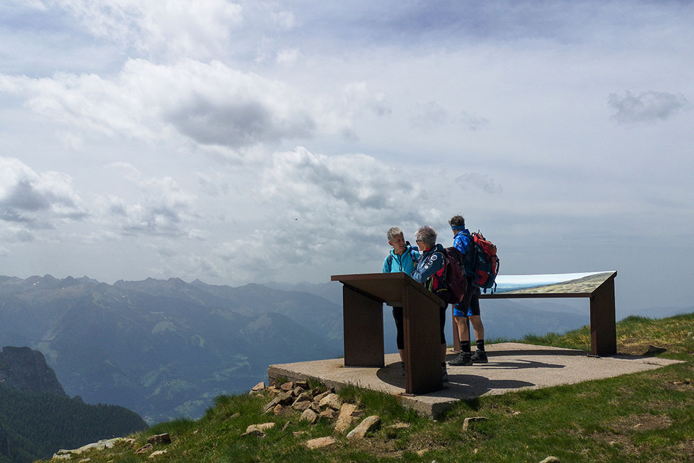
Punto panoramico
Passo Pampeago
Si ritorna sul sentiero n. 9
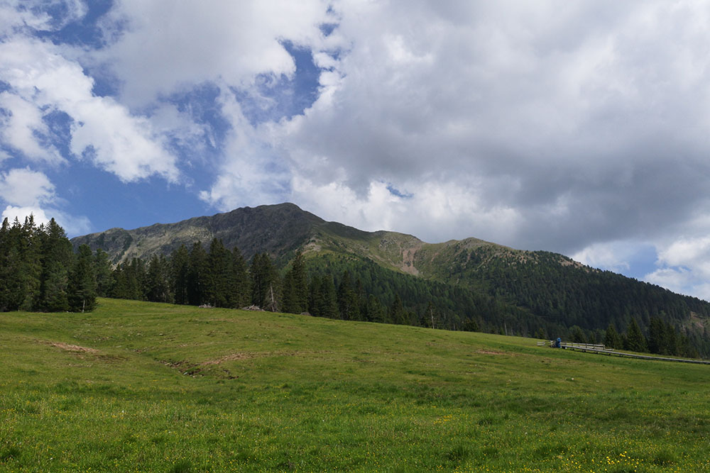
Pala di Santa vista dal Passo di Lavazè


