


![]()


Durata
 4:30 h
Distanza
 7,6 km
 Ascesa
 1081 m
Discesa
 1081 m
H Max
 1248 m
H Min
 187 m
187 mVertical Corna Trentapassi - Lake Iseo
DESCRIPTION
Unforgettable trekking in the natural beauty of Corna Trentapassi on Lake Iseo.
Located majestically on the eastern shore of Lake Iseo, the Corna Trentapassi, an imposing mountain in the Brescian Prealps 1248 meters high, enchants hikers with its wild beauty and the wonderful views it offers.
For expert hikers, we propose a circular route that starts from the enchanting town of Vello di Marone and climbs vertically towards the summit of Corna Trentapassi. The climb, constant and never banal, opens up to ever wider and more evocative panoramas. Between rock passages and terraced sections, the path, at times equipped with metal cables, leads walkers to the top, where an imposing steel cross stands.
Since 2011, these paths have witnessed a spectacular foot race, the Trentapassi Skyrace, which attracts enthusiasts from every corner of the world.
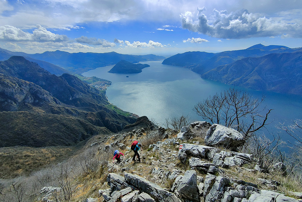
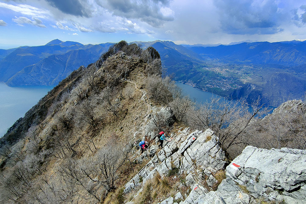
Although modest in height, the summit of Corna Trentapassi offers a breathtaking view of Lake Iseo and its surroundings. Thanks to the limited vegetation cover, especially on the southern side, the views are always guaranteed and suggestive.
It is interesting to note that the name Trentapassi derives from a bad Italianization of the local toponym. In reality, in the Brescia dialect, the mountain is called Trè Tapàs, which means Three spikes, probably referring to the characteristic rocky peaks that distinguish it, and not to Thirty steps, as mistakenly interpreted.
ITINERARY
From Vello (212 m) go up following the trail sign 263 up to the Chiesetta della Madonnina (384 m). Here you continue on the Vertical variant until you reach the summit of Corna Trentapassi (1248 m). Now you descend along trail sign 265 first to the pre-summit Corna Trentapassi (1192 m) and then to the Forcellino del Zuf (1050 m). Always going down on 265 you join up with 263 and return to Vello.
EXCURSION DATE
March 24, 2024
STARTING POINT
Vello of Marone
REFRESHMENT POINT
Nobody
AUTHOR’S SUGGESTIONS
Route suitable for those who have a steady pace and are not dizzy.
SAFETY TIPS
The viability of the proposed itinerary, like all mountain morphology, is subject to environmental changes due to natural events and weather conditions. Therefore, before leaving, consult the competent tourist offices and / or the refuges of reference.
Our GPX tracks are only indicative, that is, the route was carried out at best with the conditions of the trails and weather of that day. So always consider what to do on site.
Also remember to evaluate the route based on your physical abilities, training and the equipment you have.
You should leave someone the route you intend to do told.
Remember that the emergency number is 112.
EQUIPMENT
It is recommended to have the appropriate equipment for the route, weather conditions and season: windproof and / or rain jacket, map and / or GPS device, goggles, sunscreen, boots, first aid kit, specific clothing, gloves, backpack with food and drink.
RECOMMENDED MAPS
4LAND, Lago d'Iseo 1:25.000
INTERESTING LINKS
http://www.trentapassiskyrace.it/
HOW TO ARRIVE
A4 Exit Brescia center. Follow the SP11 South Ring Road, then the SP510 and exit at the Vello/Marone/Sale Marasino/Sulzano exit.
PARKING AREA
For a fee along the Vello road.
GPS coordinates: 45.756346, 10.079558
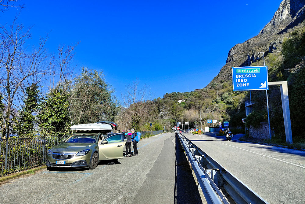
Parcheggio a Vello
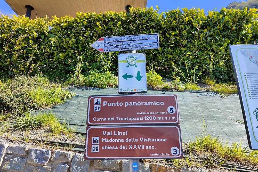
Punto di partenza del sentiero
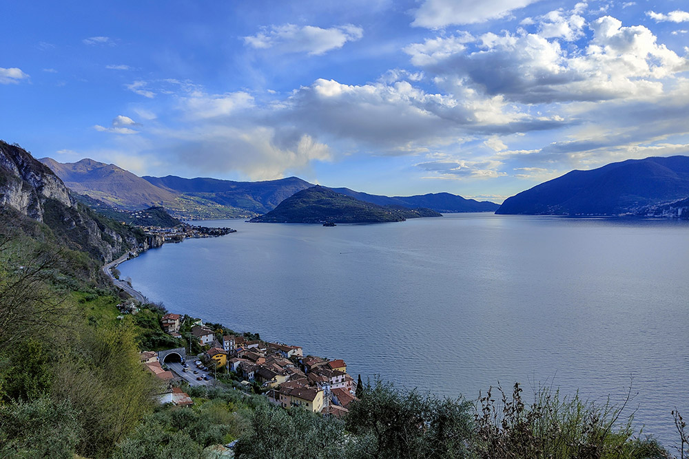
Il paese di Vello visto dall'alto
Primo punto panoramico
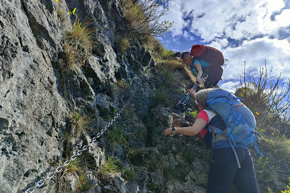
Breve tratto attrezzato
Si sale per il ripido sentiero
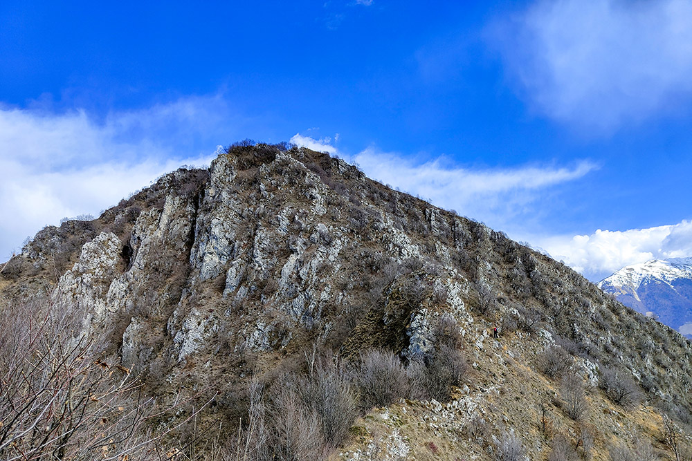
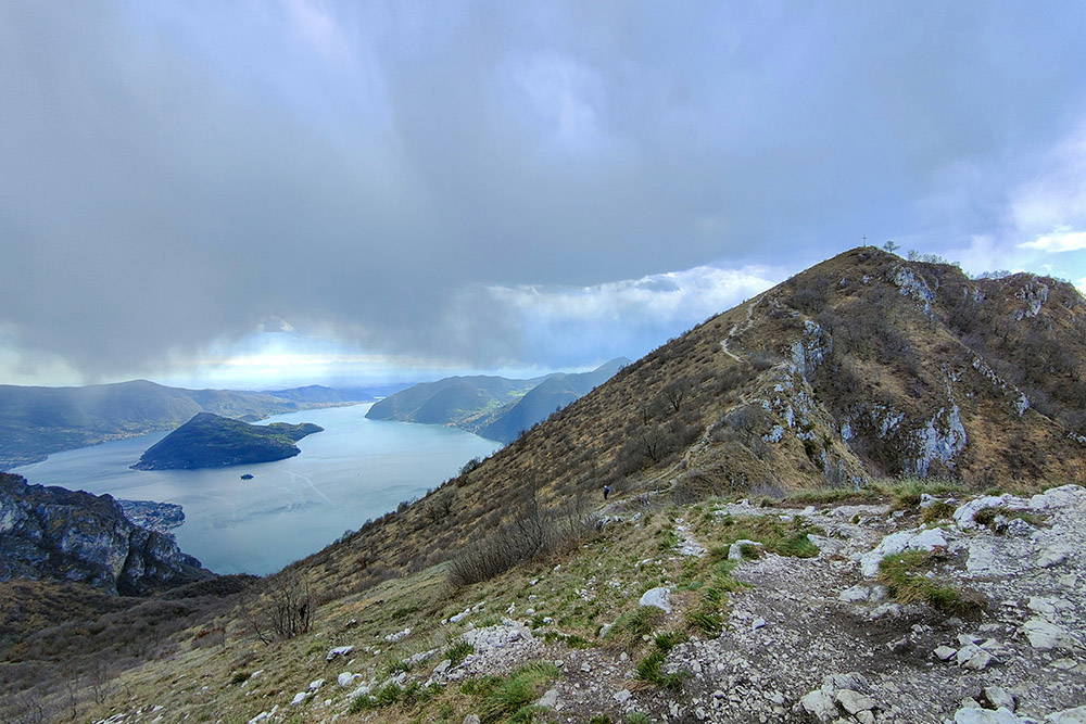
Si inizia a vedere la vetta con la croce
Ultimo tratto
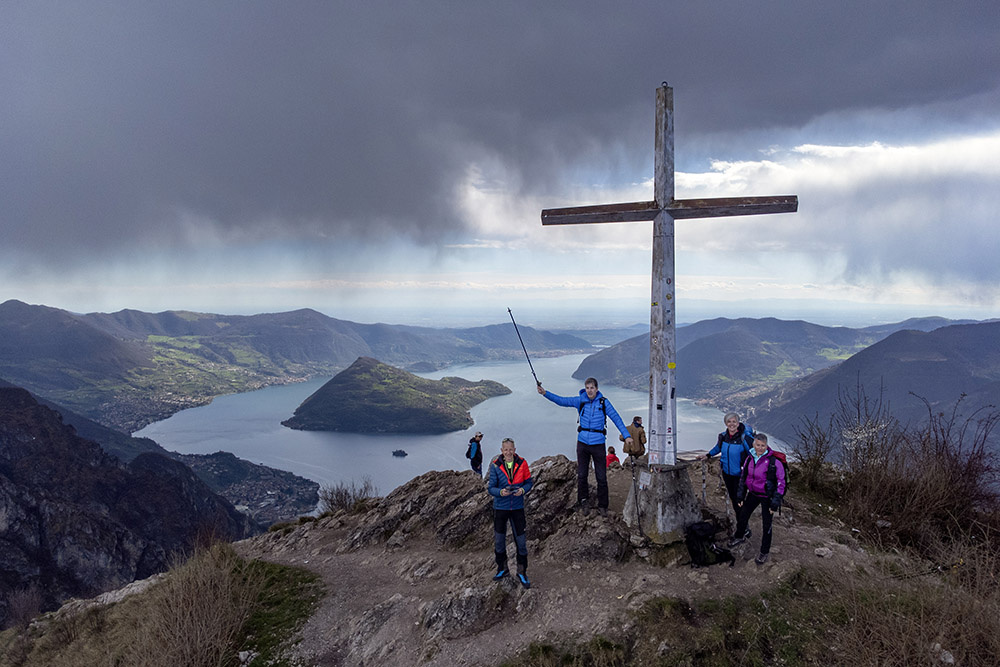
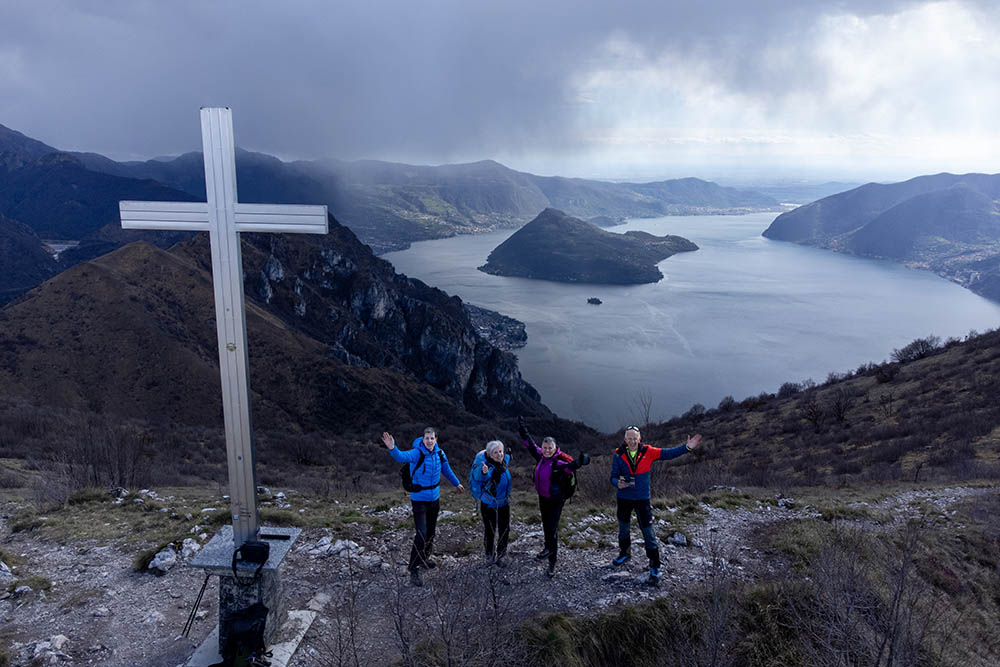
Arrivati a Corna Trentapassi
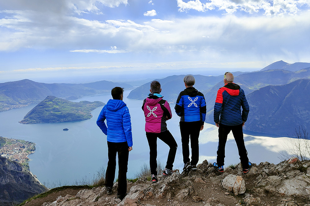
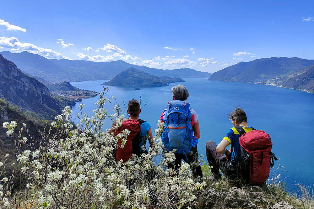
Vista sul lago d'Iseo verso sud
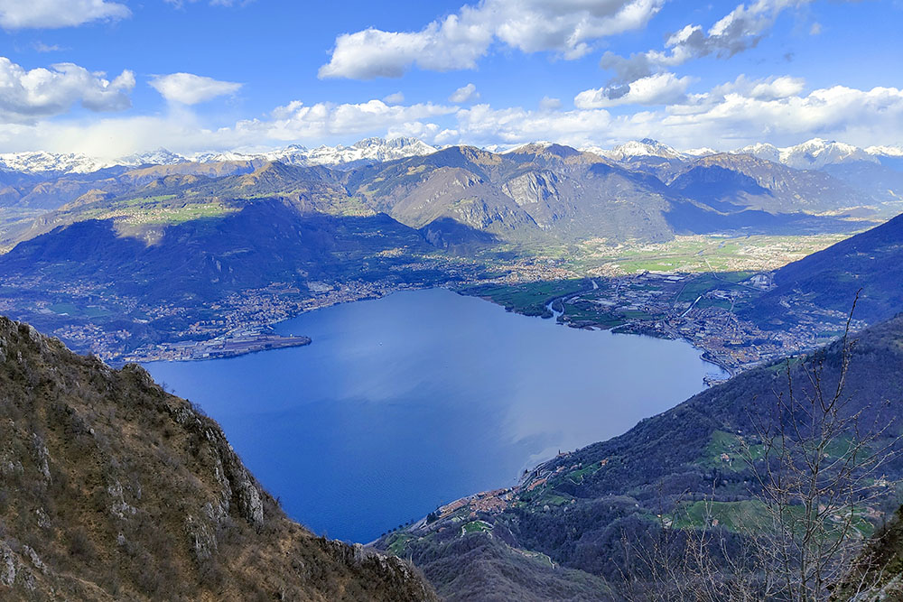
Vista sul lago d'Iseo verso nord
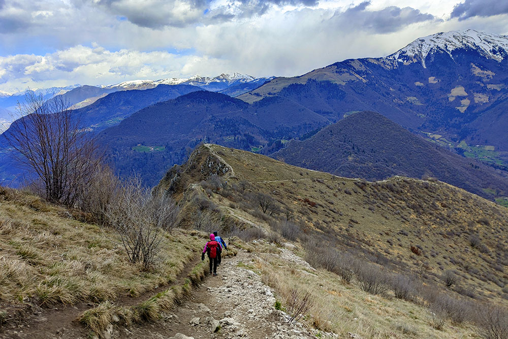
Si scende all'Anticima Est Corna Trentapassi
Lago d'Iseo e Corna Trentapassi
Anticima Est Corna Trentapassi
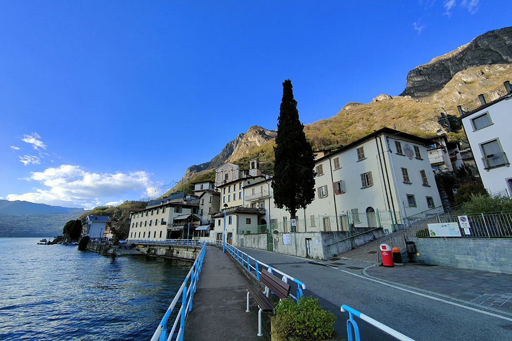
Il paese di Vello


