


![]()


Durata
 4:35 h
Distanza
 10,6 km
 Ascesa
 500 m
500 mDiscesa
 500 m
500 mH Max
 1996 m
H Min
 1559 m
From Peio to discover the park
DESCRIPTION
Winter emotions: snowshoeing in the magical area of Peio in Trentino.
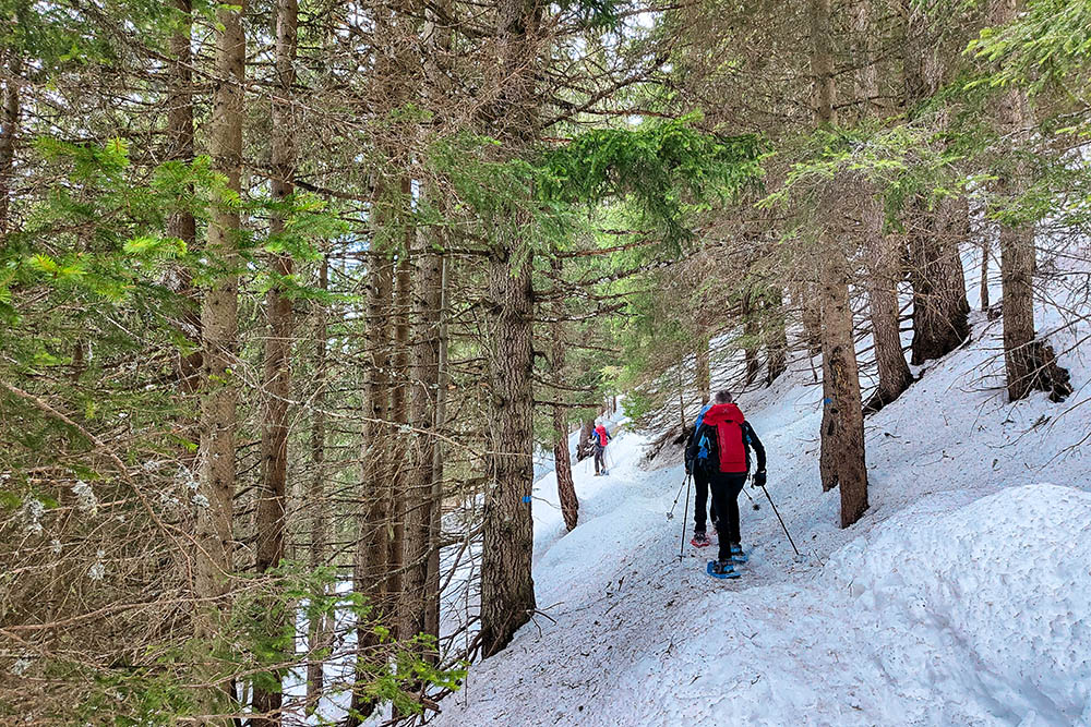
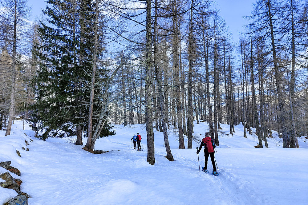
Explore the magic of winter with a medium-easy snowshoe hike that winds through the enchanting landscapes of the Stelvio National Park, in the splendid area of Peio, in Trentino. The paths, clearly marked by illustrated signs with the iconic snowshoe, lead you on an unforgettable journey.
This route offers much more than simple steps in the snow: it is an immersive experience that immerses you in fantastic views and an atmosphere of absolute tranquility. The trails pass through mostly sunny areas, giving you a feeling of winter warmth as you venture through snow-covered forests and wide open spaces.
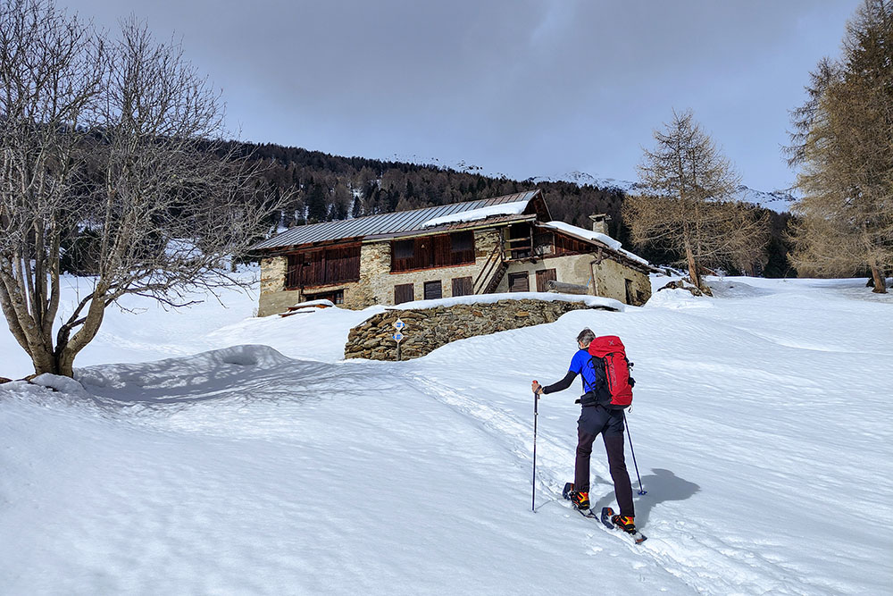
During your walk, you will come across several barns and some farms, evidence of the ancient Tyrolean tradition, which add a touch of rustic charm to the snowy landscape. Along the way, admire the spectacular views of the Val di Peio and the majestic peaks that embrace the Val di Sole, giving you unforgettable shots and moments of pure contemplation.
Being within a national park, it is important to respect the surrounding environment and the inhabitants of the local fauna. We recommend that you stay on the trail to avoid disturbing wildlife. If you meet any four-legged friends along the route, stay calm, enjoy the encounter and remember not to run towards them or shout, so as not to scare them.
This snowshoe hike is much more than a simple excursion: it is an opportunity to connect with uncontaminated nature and to create precious memories in one of the most evocative places in Trentino.
ITINERARY
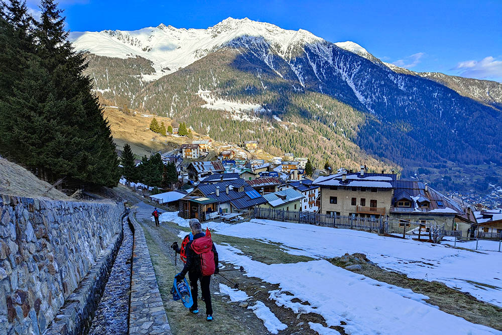
From the Peio car park (1559 m) take Via Cevedale up to the Chapel of Sant'Antonio (1600 m). Here you follow the Cros dei Bagni trail sign. Once you reach Cros dei Bagni (1775 m), shortly afterwards keep left following the Marassina trail sign. Once you reach the Masi di Marassina (1810 m), continue left following the signs for Rifugio Scoiattolo. Once you reach Rifugio Scoiattolo (1996 m), continue following path 127 descending towards Malga Covel. Before arriving at the mountain hut, turn left, pass the shore of Lake Covel (1843 m) and go to the Covel waterfall (1865 m). Now cutting across the meadows you go to Malga Covel (1857 m). You return to the starting point following first the 125 and then the Sentiero Italia.
EXCURSION DATE
March 16, 2024
STARTING POINT
Peio
REFRESHMENT POINT
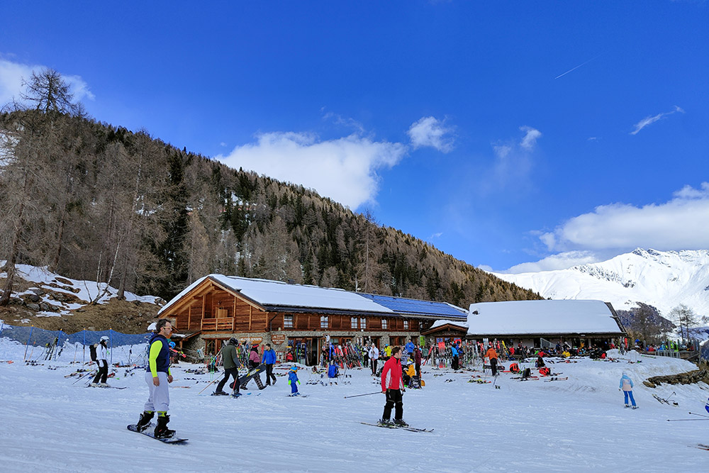
Rifugio Scoiattolo
AUTHOR’S SUGGESTIONS
Be very careful when crossing the ski slope.
SAFETY TIPS
Snowpack stability is subject to sudden and unpredictable changes. For your safety, always consult the avalanche bulletin, because the snowpack is subject to rapid changes, ask the competent local offices for information. Our GPX tracks are indicative only, that is, the route was best done with the snow and weather conditions of that day. So always evaluate what to do on site. Also remember to evaluate the route based on your physical abilities, training and the equipment you have. It is appropriate to let someone know the itinerary you intend to take. Remember that the emergency number is 112.
EQUIPMENT
It is recommended to have the appropriate equipment: kit for self-rescue in avalanches (consisting of Artva, shovel and probe), snowshoes, sticks, crampons, glasses, sunscreen, hiking boots, winter clothing, gloves, cap, backpack hot drinks.
RECOMMENDED MAPS
Tabacco 048 Val di Peio - Val di Rabbi - Val di Sole
INTERESTING LINKS
https://www.visitvaldisole.it/it
HOW TO ARRIVE
From Malè take the SS42. In Ossana you go up the SP87, pass Peio Fonti and arrive in Peio.
PARKING AREA
Free parking in Peio
GPS coordinates: 46.363568, 10.675480
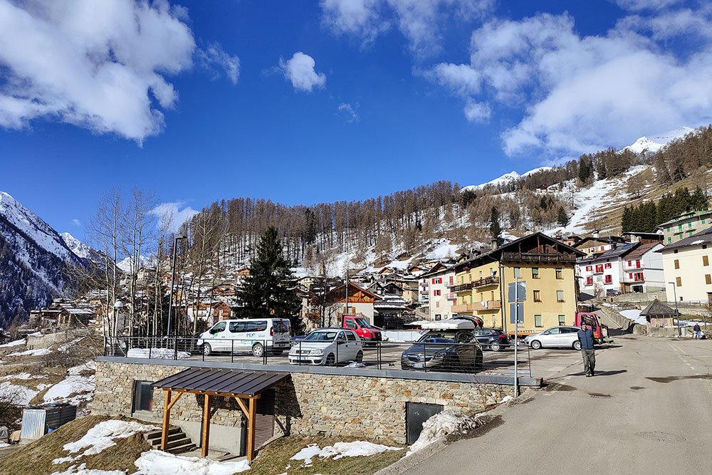
Parcheggio a Peio
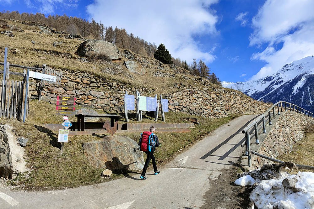
Si inizia la strada sterrata
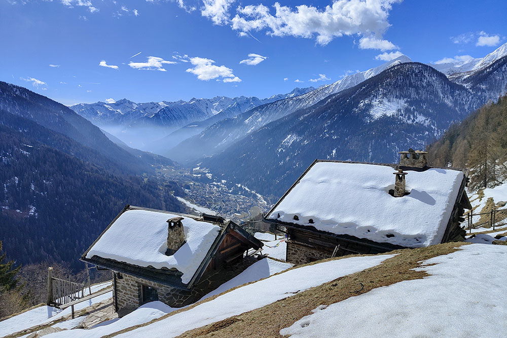
I primi fienili con la Val di Peio

Il punto panoramico della Cros dei Bagni
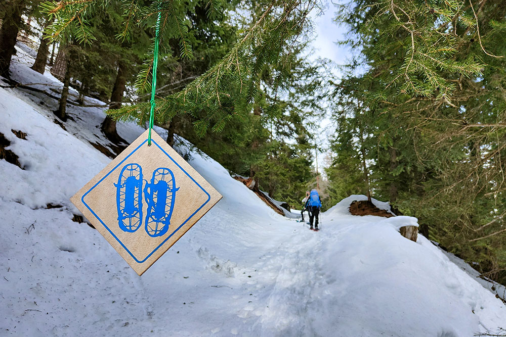
Segnavia che ci accompagna lungo tutto l'itinerario
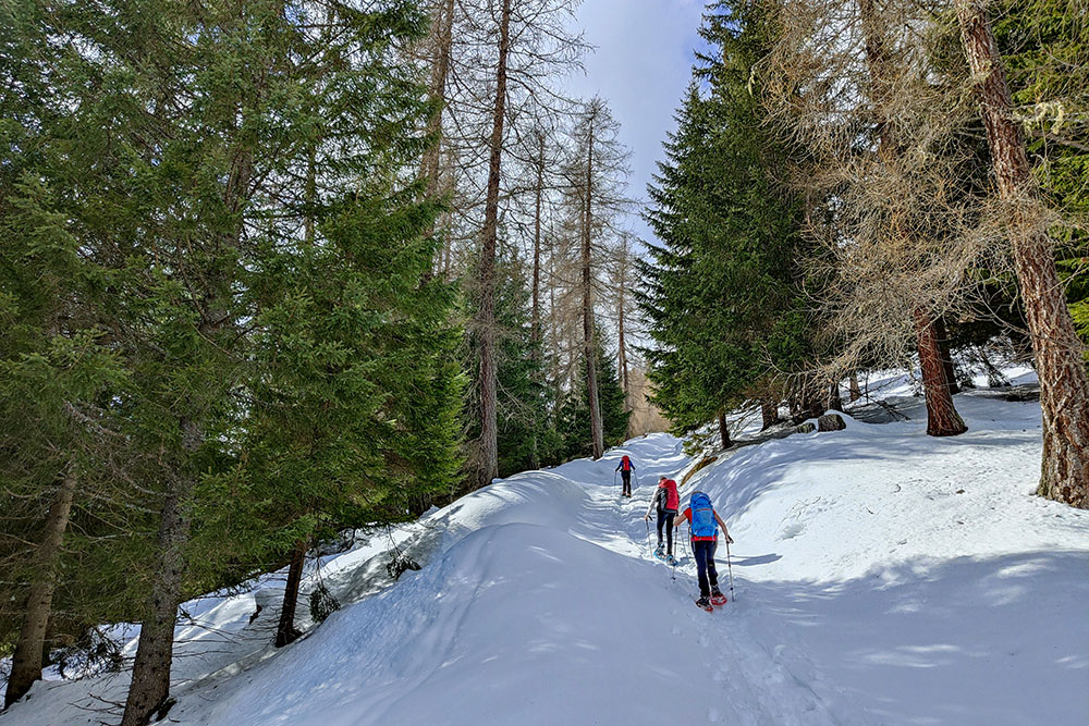
Si sale comodamente nel bosco
I fienili della località Marassina
Tratto pianeggiante
Arrivati al Rifugio Scoiattolo
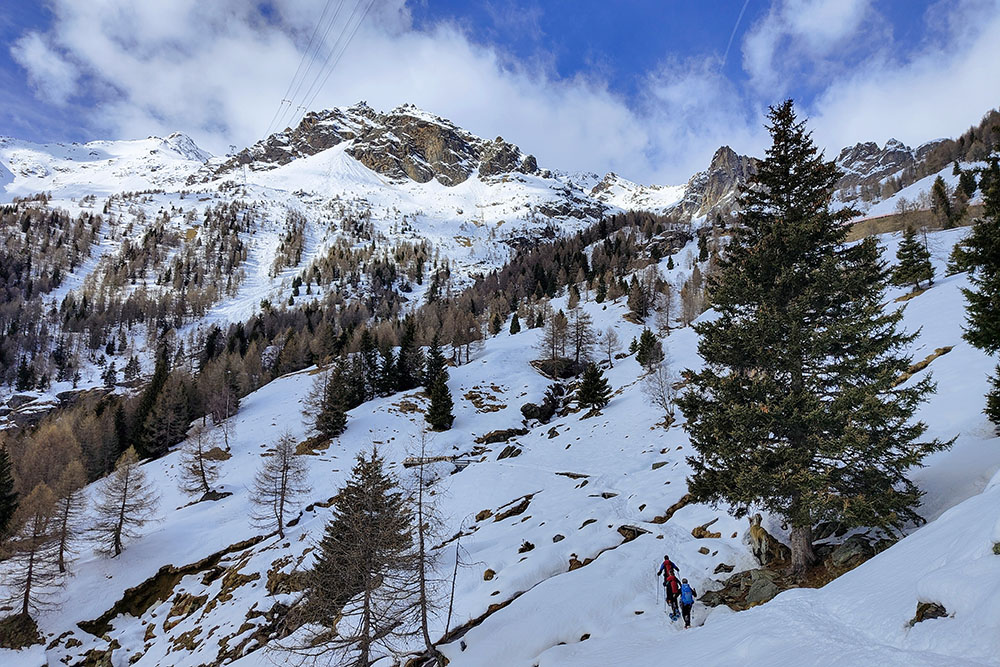
Vista verso Peio 3000 e il Vioz
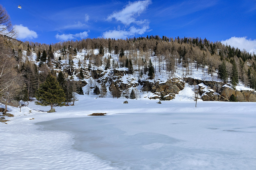
Lago di Covel ghiacciato
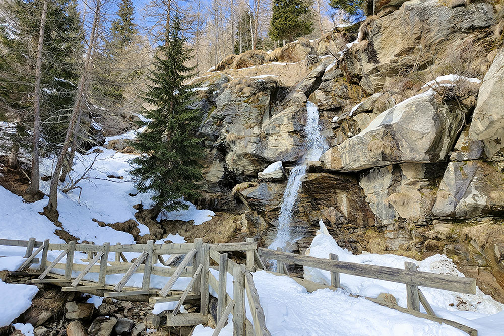
Cascate di Covel
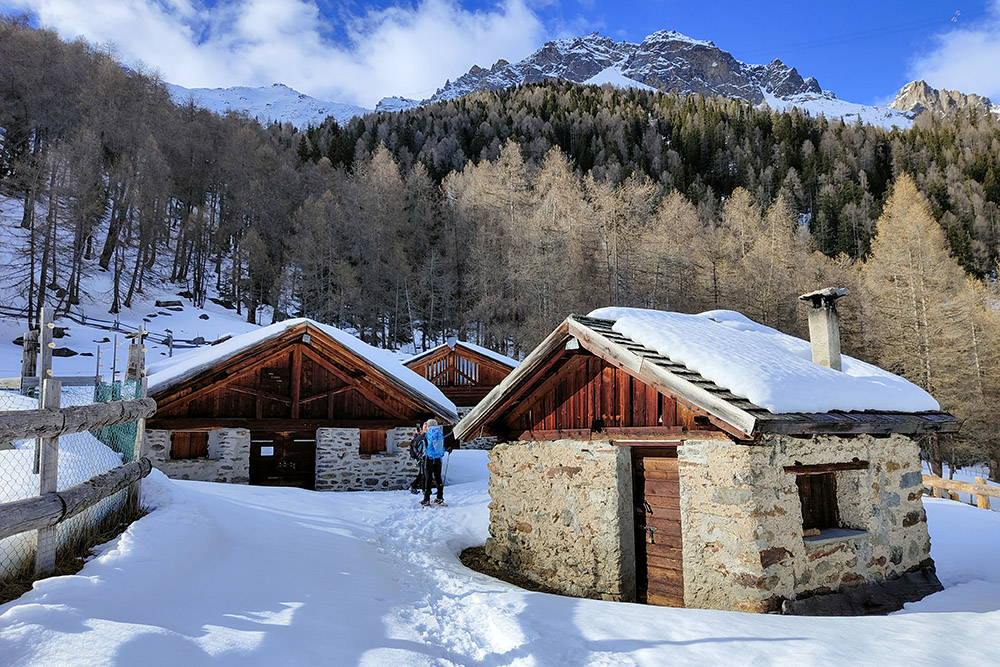
Malga Covel
Si rientra
Ultimo tratto


