


![]()


Durata
 2:40 h
Distanza
 8,4 km
 Ascesa
 330 m
330 mDiscesa
 330 m
330 mH Max
 1426 m
H Min
 1142 m
From Trodena to Malga Cislon
DESCRIPTION
Circular hike in the Monte Corno Nature Park.
Spring or autumn walk inside the Monte Corno Natural Park going around two mountains: Cucul and Cislon. The itinerary does not present any particular difficulties, but you have to be careful on a section called Hochwand, in order not to trip or slip. Along the way we will find some panoramic balconies that will give us a fantastic view of Trodena, Aldino, Nova Ponente, the Bletterbach gorge and the Adige Valley. Once we arrive at Malga Cislon, the only refreshment point, we will find a small playground for children and a lovely lake.
ITINERARY
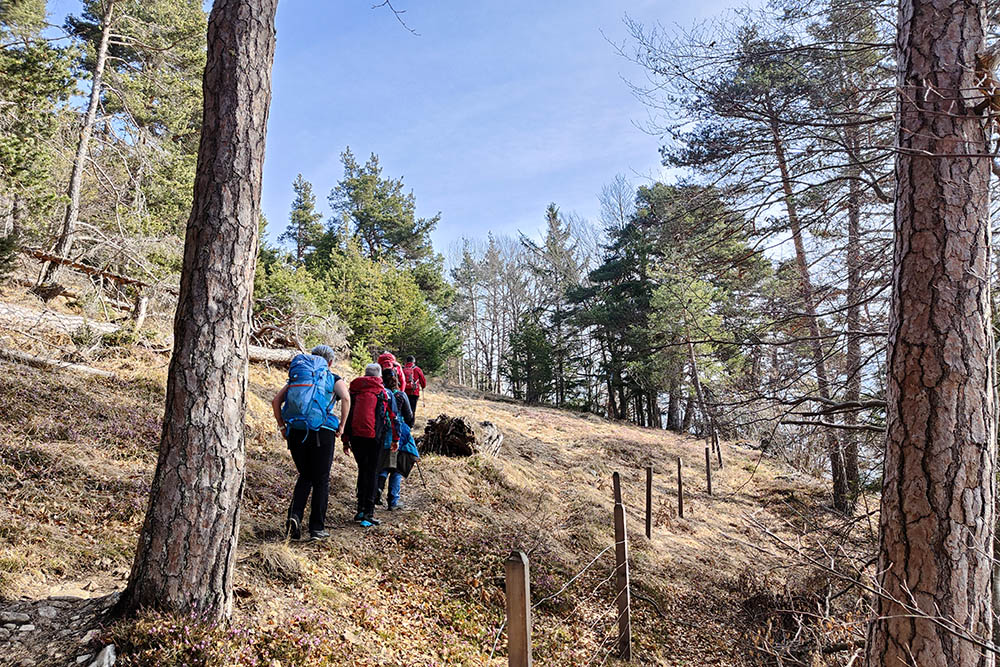
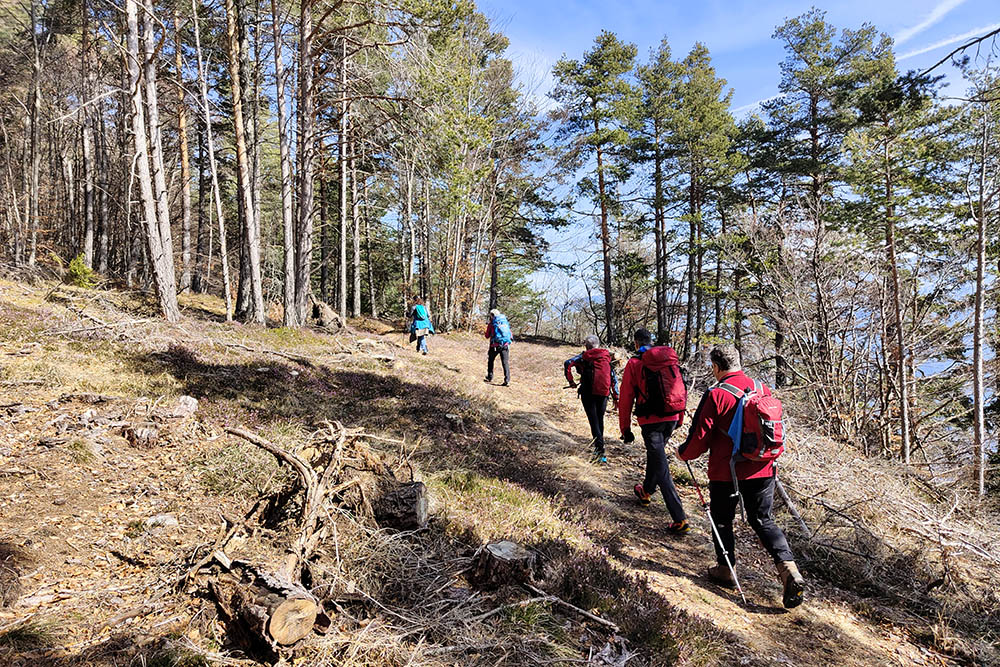
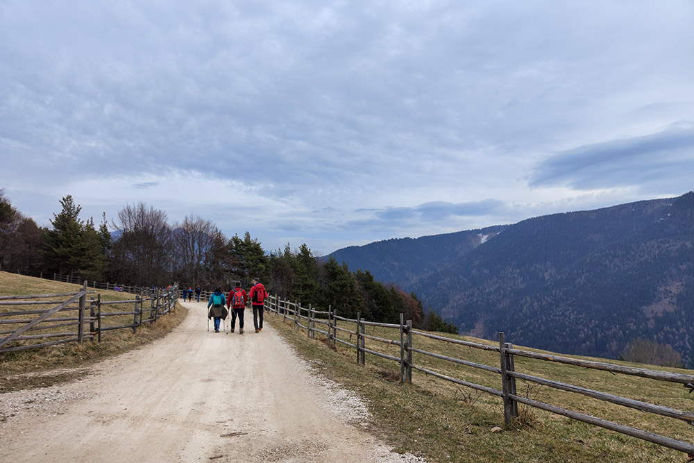
From the car park (1162 m) in the town center, follow trail no. 3, direction Leger Panoramic Platform. Once you reach the platform (1351 m) continue on 3, then on 2B and finally on 2A. Arrived at the Hochwand (1301 m) continue on the path and then take the dirt road - trail no. 2 - which leads comfortably to Malga Cislon/Cisloner Alm (1260 m). Now go back to the starting point by following trail no. 1, 3A and 3.
EXCURSION DATE
March 19, 2023
STARTING POINT
Trodena
REFRESHMENT POINT
Malga Cislon (1260 m)
AUTHOR’S SUGGESTIONS
For those wishing to arrive with a stroller, we recommend taking only the stretch from Trodena to Malga Cislon following trail no. 1.
SAFETY TIPS
The viability of the proposed itinerary, like all mountain morphology, is subject to environmental changes due to natural events and weather conditions. Therefore, before leaving, consult the competent tourist offices and / or the refuges of reference.
Our GPX tracks are only indicative, that is, the route was carried out at best with the conditions of the trails and weather of that day. So always consider what to do on site.
Also remember to evaluate the route based on your physical abilities, training and the equipment you have.
You should leave someone the route you intend to do told.
Remember that the emergency number is 112.
EQUIPMENT
It is recommended to have the appropriate equipment for the route, weather conditions and season: windproof and / or rain jacket, map and / or GPS device, goggles, sunscreen, boots, first aid kit, specific clothing, gloves, backpack with food and drink.
RECOMMENDED MAPS
Tabacco 049 Strada del Vino / Südtiroler Weinstrasse
INTERESTING LINKS
https://www.suedtirol.info/it/esperienze/malga-cislon_activity_67839
HOW TO ARRIVE
Exit A22 Egna-Ora. SS12 towards Bolzano. Take the Ora ring road and then the SS48 up to Fontane Fredde. Here you turn right taking the SP59 up to Trodena.
PARKING AREA
Free in Trudena
GPS coordinates: 46.323724, 11.351914
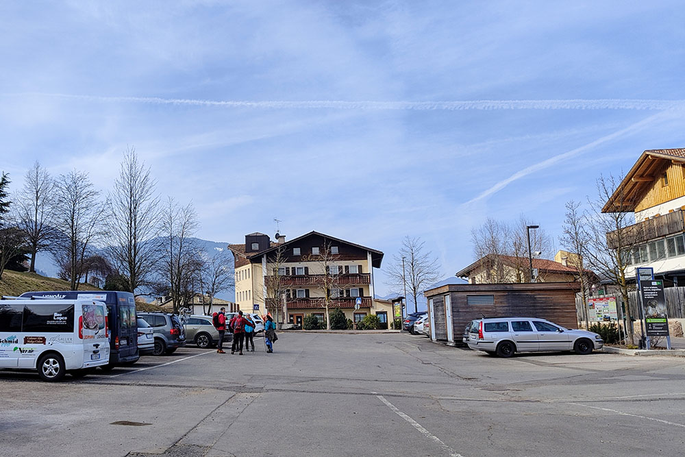
Parcheggio a Trodena
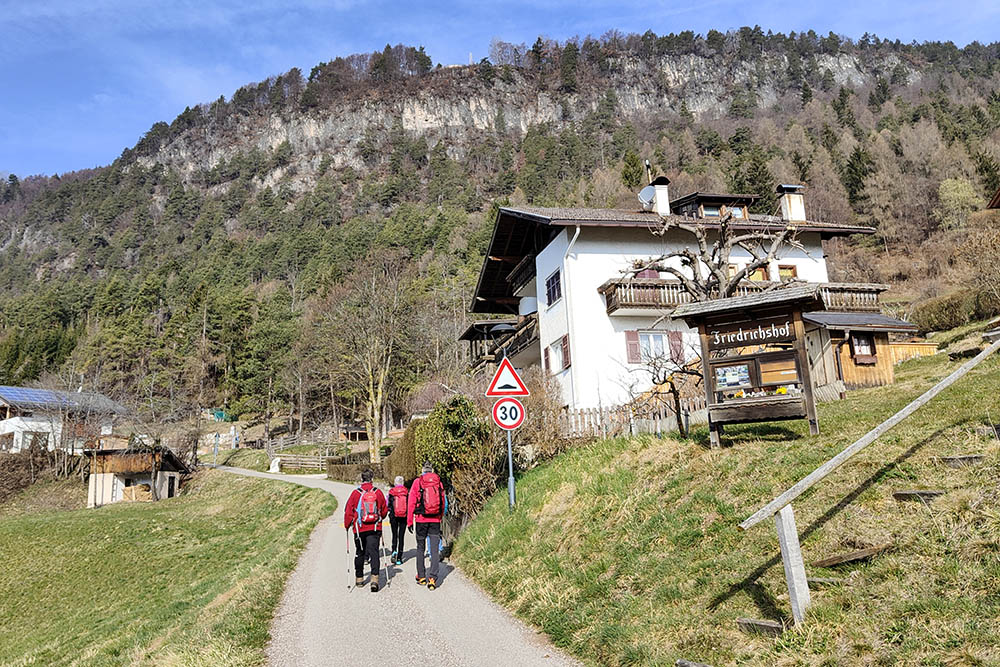
Si sale su strada asfaltata
Si va verso la piattaforma panoramica
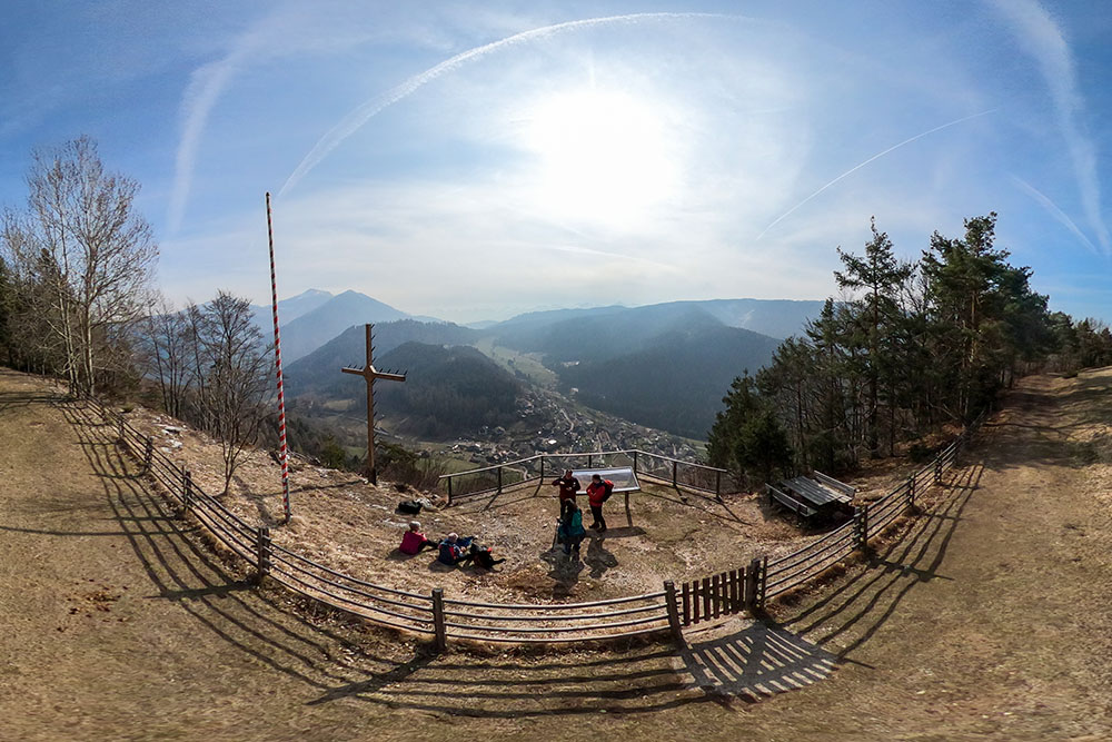
Piattaforma Panoramica Leger
Si prosegue per un tratto pianeggiante
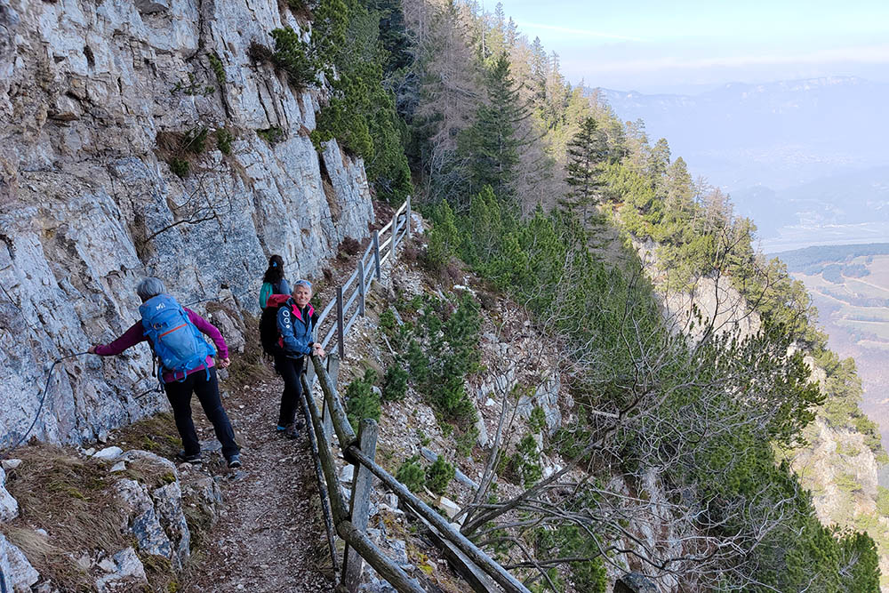
Il tratto Hochwand
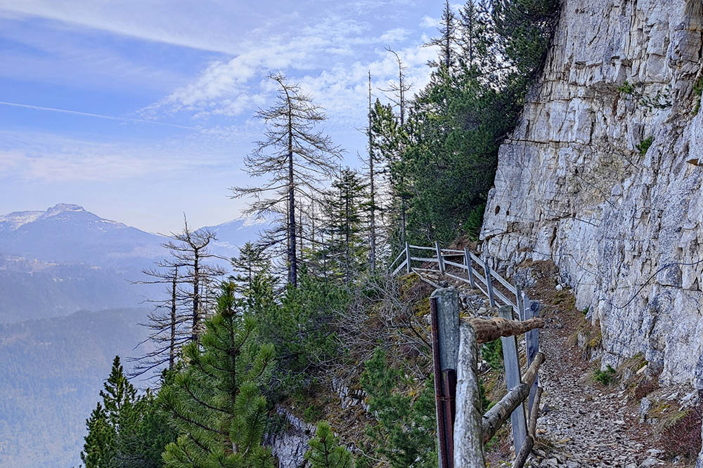
Il tratto Hochwand
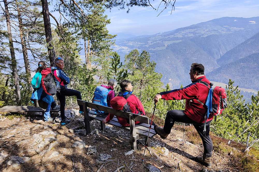
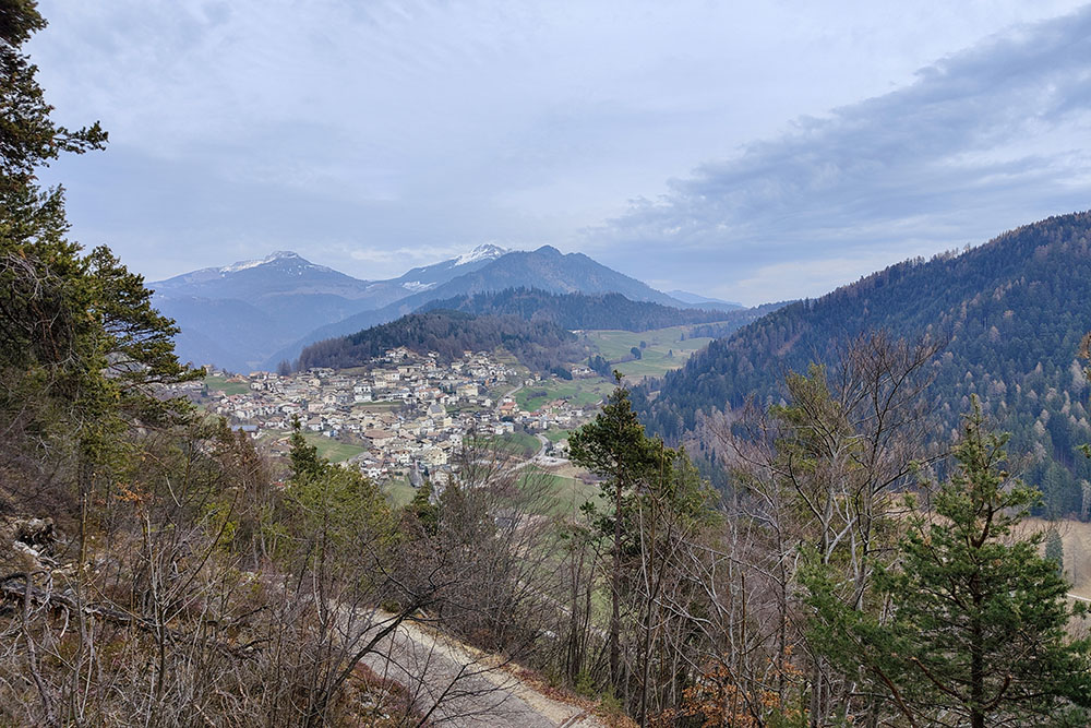
Punto panoramico verso il paese di Aldino
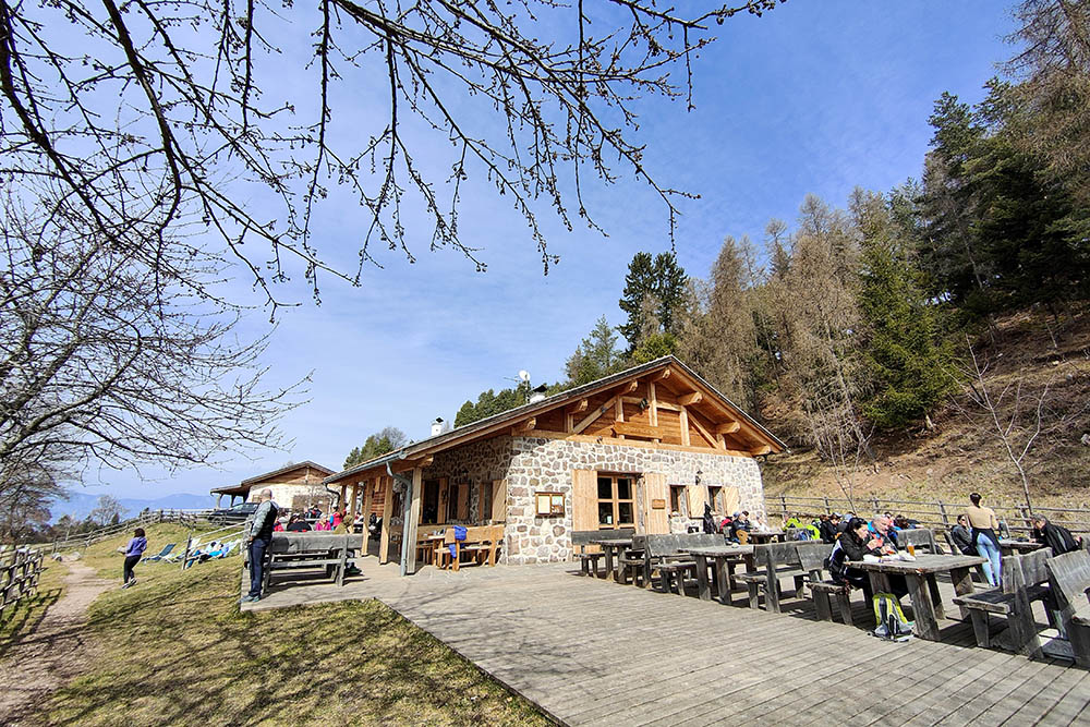
Malga Cislon
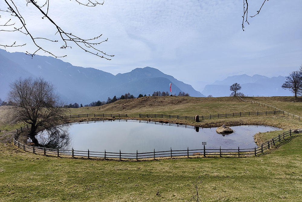
Laghetto nei pressi dalla malga
Si ritorna a Trodena
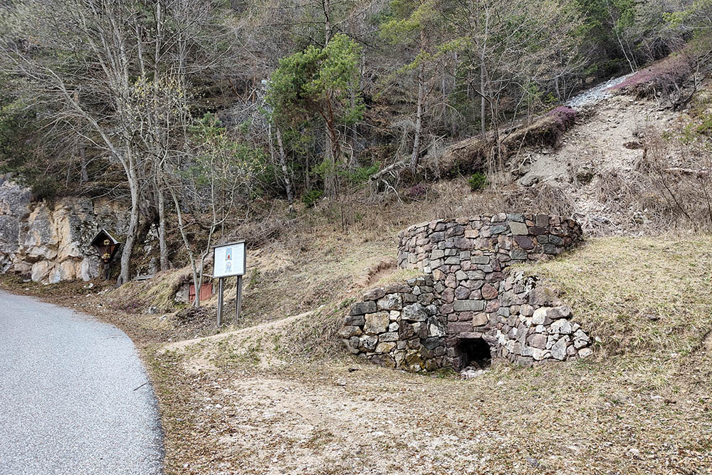
La Calcara
Siamo quasi arrivati


