


![]()


Durata
 3:30 h
Distanza
 8,7 km
 Ascesa
 386 m
386 mDiscesa
 386 m
386 mH Max
 2347 m
H Min
 2193 m
With snowshoes at the Rifugio Sandro Pertini
DESCRIPTION
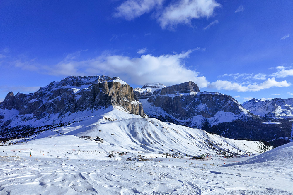
Spectacular snowshoe hike at the foot of the Sassolungo-Sassopiatto Group.
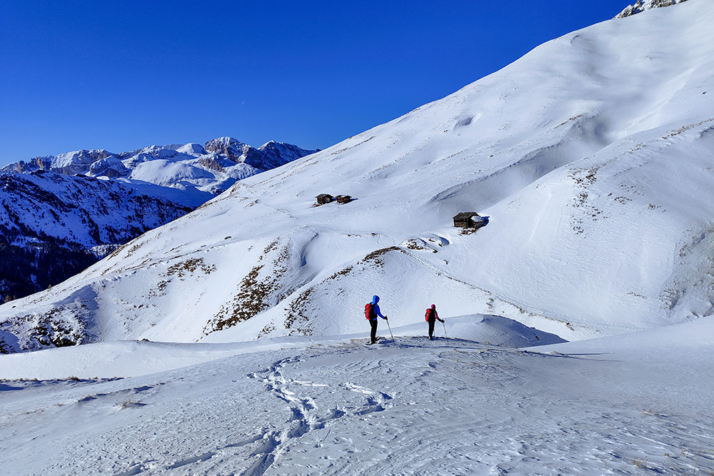
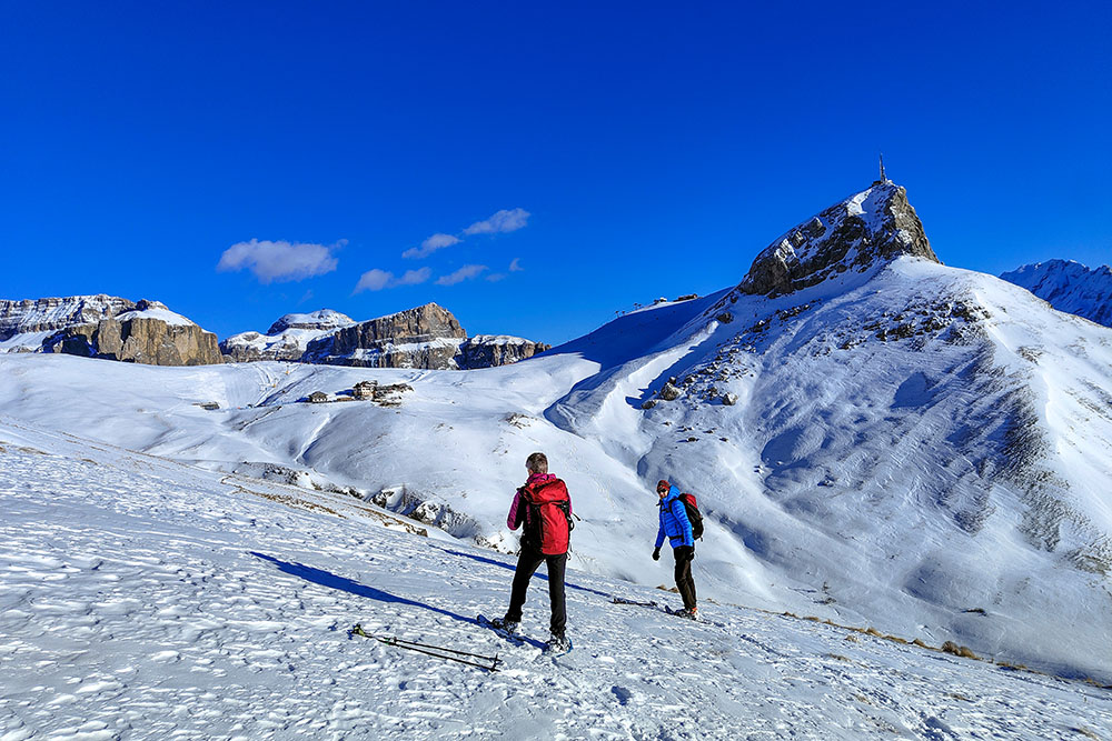
The route was classified as difficult, not so much due to the physical effort or technical difficulties, but rather due to the risk of avalanches. Therefore, it is essential to carefully evaluate the conditions before undertaking it. However, the excursion offers extraordinary beauty, offering a spectacular panorama of the Catinaccio, Val Duron, the Sella Group, the Sassolungo-Sassopiatto Group and all the other peaks of the Fassa Dolomites.
Furthermore, it is essential to pay attention in the area of the slopes, as walking on the slopes intended for skiers could result in financial penalties.
ITINERARY
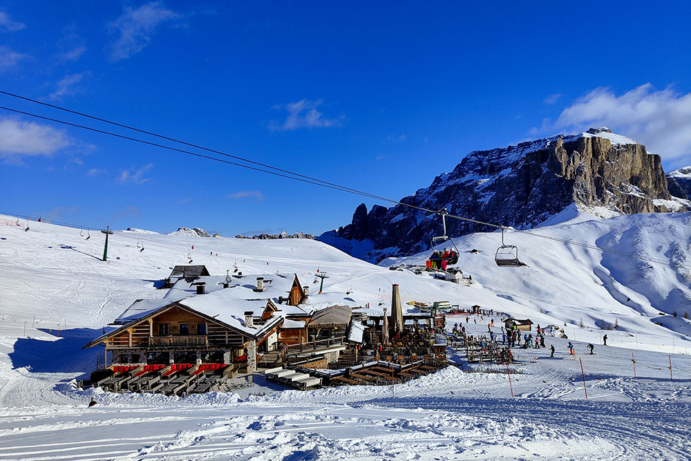
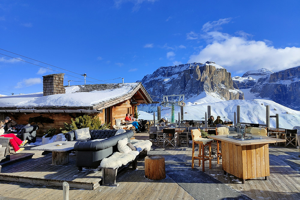
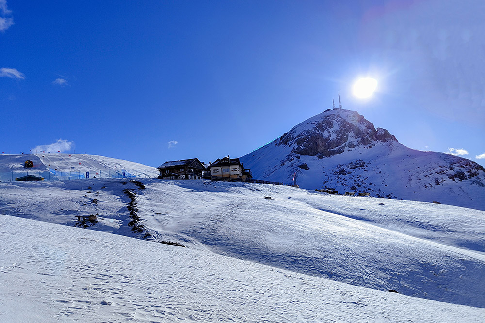
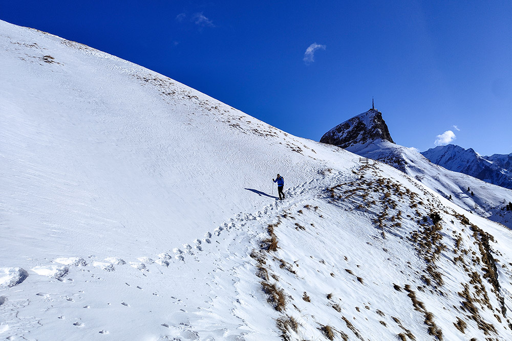
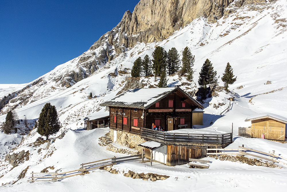
From Passo Sella (2240 m) you arrive at Rifugio Valentini (2218 m), continue towards Rifugio Salei (2225 m) and pass near Rifugio Friedrich August (2294 m). Here, following the trail sign 557 you arrive at Rifugio Sandro Pertini (2316 m). You return following the same route.
EXCURSION DATE
January 4, 2024
STARTING POINT
Sella Pass
REFRESHMENT POINT
Rifugio Valentini (2218 m), Rifugio Salei (2225 m), Fienile Monte (2260 m) and Rifugio Friedrich August (2294 m)
AUTHOR’S SUGGESTIONS
Access on foot to the slopes is prohibited during their operation; therefore, it is necessary to go before the systems start up and return when they are stopped.
SAFETY TIPS
Snowpack stability is subject to sudden and unpredictable changes. For your safety, always consult the avalanche bulletin, because the snowpack is subject to rapid changes, ask the competent local offices for information. Our GPX tracks are indicative only, that is, the route was best done with the snow and weather conditions of that day. So always evaluate what to do on site. Also remember to evaluate the route based on your physical abilities, training and the equipment you have. It is appropriate to let someone know the itinerary you intend to take. Remember that the emergency number is 112.
EQUIPMENT
It is recommended to have the appropriate equipment: kit for self-rescue in avalanches (consisting of Artva, shovel and probe), snowshoes, sticks, crampons, glasses, sunscreen, hiking boots, winter clothing, gloves, cap, backpack hot drinks.
RECOMMENDED MAPS
Tabacco 06 Val di Fassa e Dolomiti Fassane
INTERESTING LINKS
https://www.fassa.com/
HOW TO ARRIVE
From Val Gardena: SS42. From Val di Fassa: SS48 and then SS42
PARKING AREA
Small free car park in Passo Sella near the Hotel Mariaflora
GPS coordinates: 46.508662, 11.766585
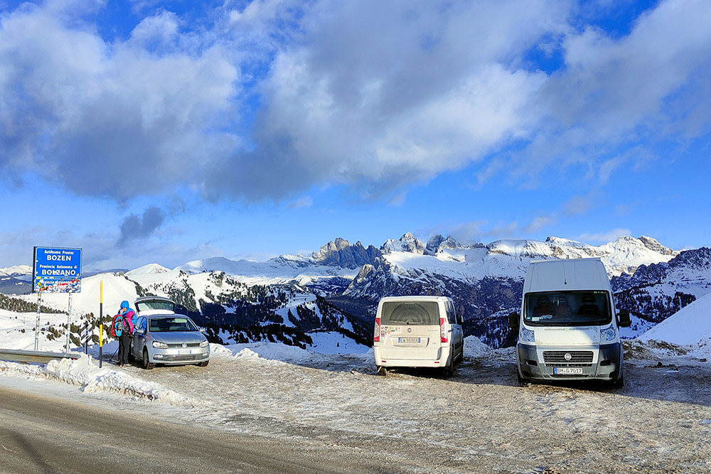
Parcheggio a Passo Sella
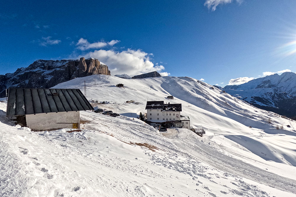
Rifugio Valentini
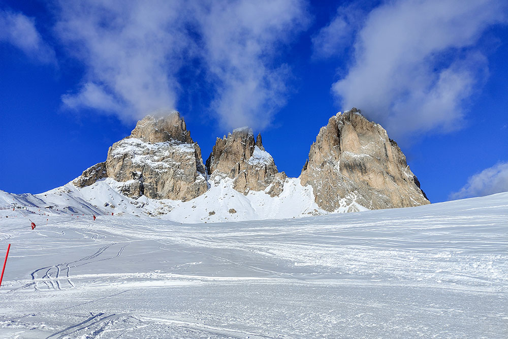
Il Gruppo del Sassolungo-Sassopiatto
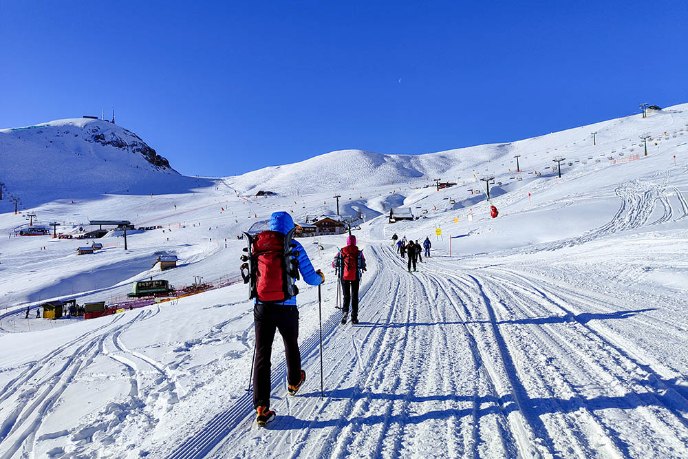
Si cammina
Rifugio Salei
Baita Fienile Monte
Gruppo del Sella
Passiamo vicini al Rifugio Friedrich August
Si va verso il Rifugio Pertini
Camminiamo con il Col Rodella alle spalle
Rifugio Sandro Pertini
Si ritorna indietro

Rifugio Friedrich August
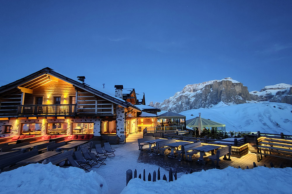
Il Rifugio Salei in notturna
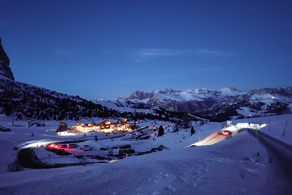
Passo Sella all'imbrunire


