


![]()


Durata
 3:20 h
Distanza
 9,3 km
 Ascesa
 590 m
590 mDiscesa
 590 m
590 mH Max
 2145 m
H Min
 1630 m
Malga Ausser Schwemmalm in Val d'Ultimo
DESCRIPTION
Pleasant round trip in Val d'Ultimo starting from the church of San Maurizio.
Val d'Ultimo is one of the most fascinating destinations in South Tyrol, a region rich in history and wild nature. For hiking lovers, this valley offers a series of scenic routes that allow you to immerse yourself completely in the beauty of the Alps.
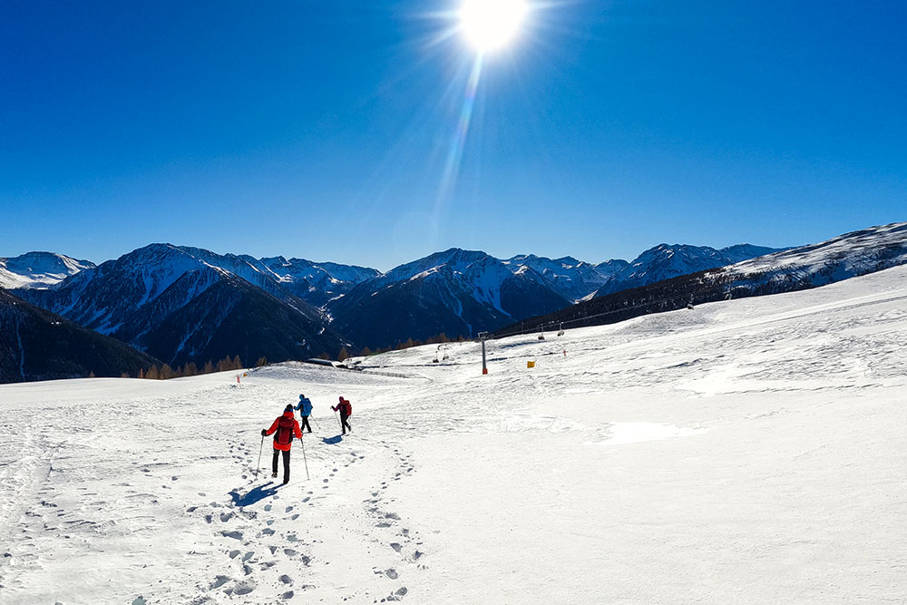
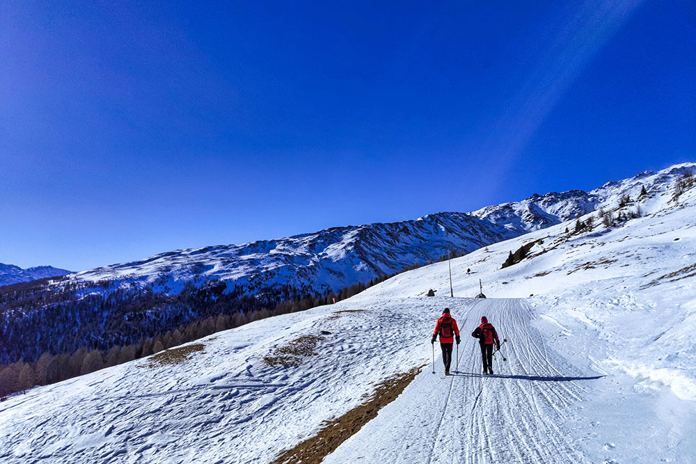
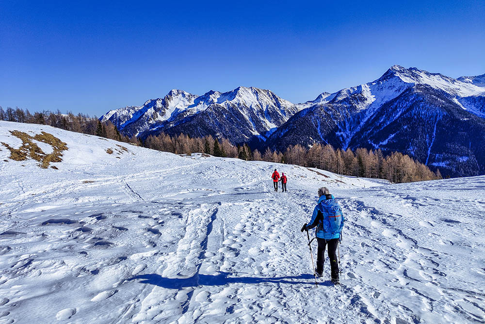
One of these routes is the excursion to the Malga Ausser Schwemmalm, starting from San Maurizio and following path no. 6. This route is not very demanding, and those who are willing to face the climb will be amply rewarded by the enchanting view that can be admired along the way.
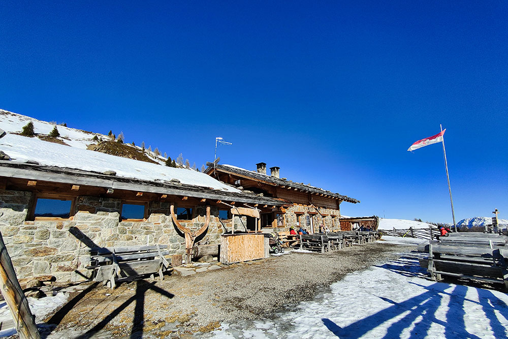
Once you arrive at the Malga Ausser Schwemmalm, you can taste the local specialties in the traditional malga, enjoying the panoramic view of the valley and the Maddalene chain. From the hut you then return via the Inner Schwemmalm hut, where you can admire another spectacular view of the valley.
ITINERARY
From the parking area (1630 m) take path no. 6 arriving at the Malga Ausser Schwemm (2145 m). Here you go down, trail n. 13, and you arrive at Malga Innerschwemm (2095 m). We continue on the 13, then on the 6B and finally we return to the 6 which takes us back to the starting point.
EXCURSION DATE
February 4, 2023
STARTING POINT
Location San Maurizio/St. Moritz
REFRESHMENT POINT
Ausserschwemm Alm (2145 m) and Innerschwemm Alm (2095 m)
AUTHOR’S SUGGESTIONS
In addition to snowshoes, it is advisable to bring crampons.
SAFETY TIPS
The viability of the proposed itinerary, like all mountain morphology, is subject to environmental changes due to natural events and weather conditions. Therefore, before leaving, consult the competent tourist offices and / or the refuges of reference.
Our GPX tracks are only indicative, that is, the route was carried out at best with the conditions of the trails and weather of that day. So always consider what to do on site.
Also remember to evaluate the route based on your physical abilities, training and the equipment you have.
You should leave someone the route you intend to do told.
Remember that the emergency number is 112.
EQUIPMENT
It is recommended to have the appropriate equipment for the route, weather conditions and season: windproof and / or rain jacket, map and / or GPS device, goggles, sunscreen, boots, first aid kit, specific clothing, gloves, backpack with food and drink.
RECOMMENDED MAPS
Tabacco 042 Val d’Ultimo - Alta Val Di Non / Ultental - Deutschnonsberg
INTERESTING LINKS
https://www.schwemmen.it/de
HOW TO ARRIVE
From Bolzano take the SS38 MeBo towards Merano. Exit Sinigo and take the road for Val d'Ultimo. Arrived at the town of S. Nicolò/St. Nikolaus go up to the right towards S. Maurizio/St. Moritz. Continue until you reach San Maurizio, where you will find a church and a restaurant.
PARKING AREA
At the Church of San Maurizio
GPS coordinates: 46.536442, 10.948427
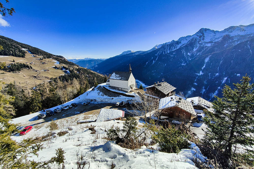
La località di partenza
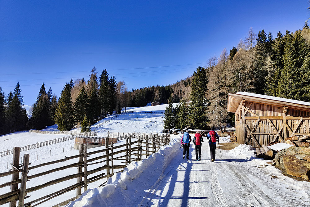
Si sale seguendo il segnavia n 6
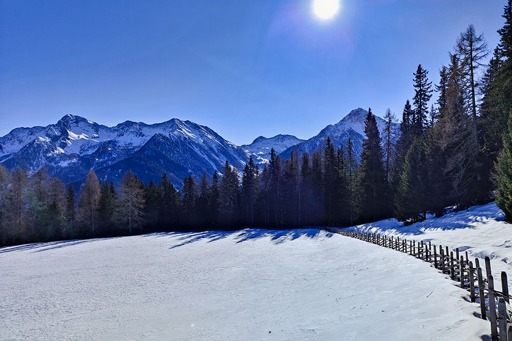
Vista verso il Gruppo delle Maddalene
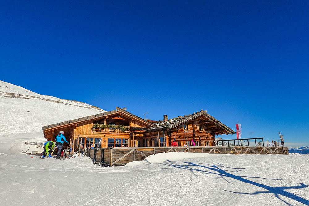
La Malga Ausserschwemm
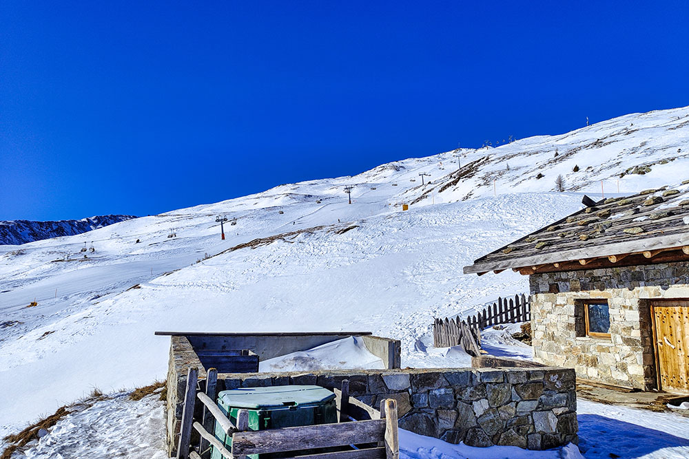
Gli impianti sciistici dietro la Malga Ausserschwemm
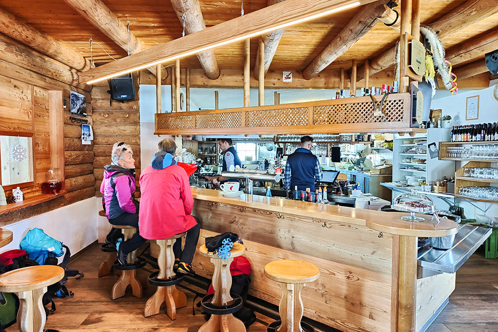
All'interno della malga
Si scende sul sentiero 13
Si scende sul sentiero 13
Arrivati alla Malga Innerschwemm
Si ritorna a San Maurizio
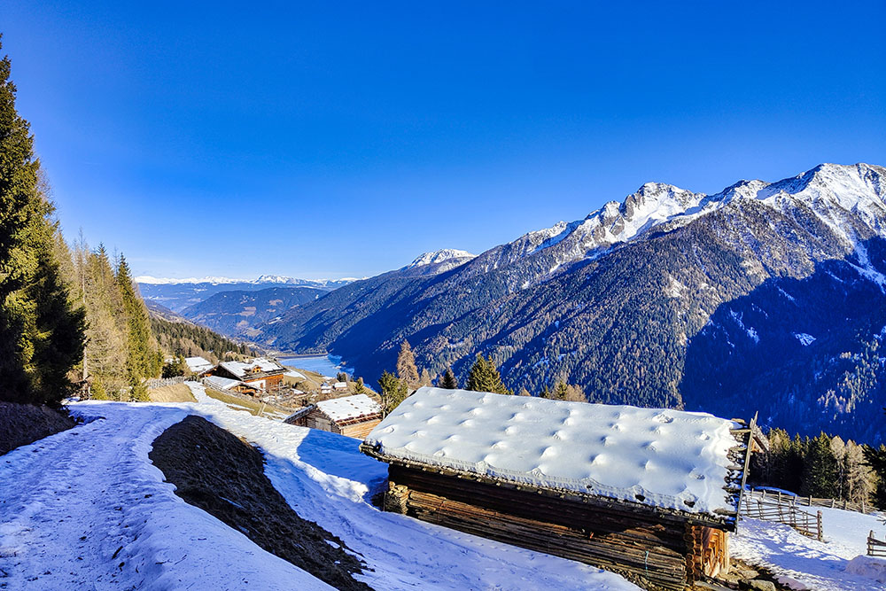
Graziose baite con il Bacino di Zoccolo in lontananza
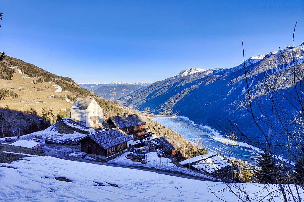
Il lontananza si vede bene il Bacino di Zoccolo ghiacciato


