


![]()


Durata
 5:00 h
Distanza
 11,8 km
 Ascesa
 680 m
680 mDiscesa
 680 m
680 mH Max
 1850 m
H Min
 1172 m
Vallesinella waterfalls
DESCRIPTION
Circular excursion to the magnificent Vallesinella waterfalls.
Easily accessible from both Madonna di Campiglio and Val Brenta, the waterfalls represent an indisputable tourist attraction in the heart of the Adamello Brenta Natural Park. These waterfalls, together with those of Nardis in the suggestive Val Genova, are considered the most visited in Trentino.
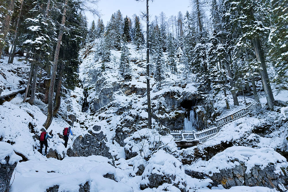
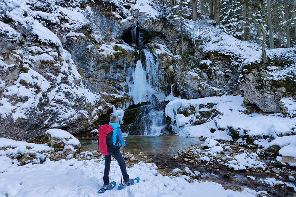
Divided into three distinct altitude levels - High, Middle and Low - the waterfalls are fed by the Rio Vallesinella stream. During the winter season, they are covered in ice, even becoming a challenge for some passionate climbers.
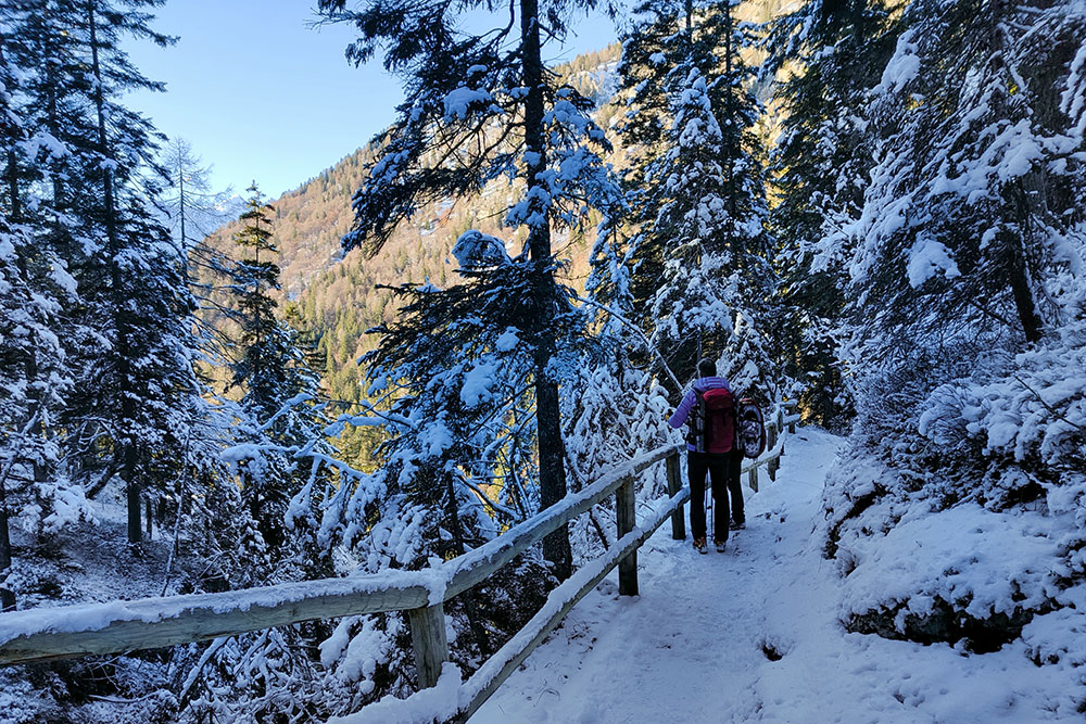
The snowshoe route faithfully follows the summer itinerary and does not present particular difficulties or areas exposed to the danger of avalanches. However, it is always advisable to consult the avalanche bulletin for the area before embarking on the excursion.
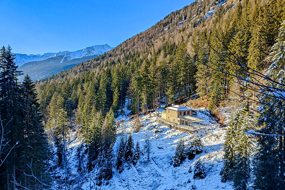
To further enrich the experience, we have included a detour that leads to the suggestive Rifugio Casinei. From this privileged point, it is possible to admire a breathtaking view of the imposing peaks of Adamello, helping to make the entire itinerary even more fascinating.
ITINERARY
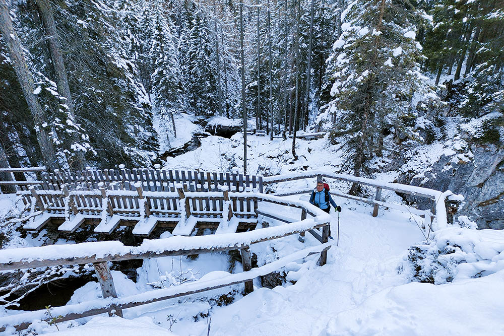
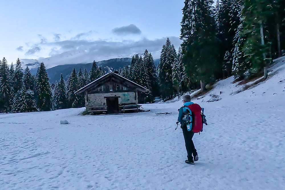
From the car park (1171 m) follow the Rifugio Vallesinella trail sign. In about 1:30 you arrive at Rifugio Vallesinella (1513 m). Here you take the Sentiero delle Cascate which leads to the Cascate Alte and the Malga Vallesinella Alta (1681 m). Now take the 317B trail sign and go to the Rifugio Casinei (1850 m). Descend along the 317 to the Rifugio Vallesinella. Continue following the signs for Rifugio Cascate di Mezzo (1410 m), reaching the refuge and the waterfalls of the same name. Crossing the little bridge, continue on the path that leads to Malga Brenta Bassa (1250 m) and to the starting point.
EXCURSION DATE
January 3, 2024
STARTING POINT
Pra de la Casa - S. Antonio di Mavignola
REFRESHMENT POINT
In winter no one.
AUTHOR’S SUGGESTIONS
In winter the best time to photograph waterfalls is in the afternoon.
SAFETY TIPS
Snowpack stability is subject to sudden and unpredictable changes. For your safety, always consult the avalanche bulletin, because the snowpack is subject to rapid changes, ask the competent local offices for information. Our GPX tracks are indicative only, that is, the route was best done with the snow and weather conditions of that day. So always evaluate what to do on site. Also remember to evaluate the route based on your physical abilities, training and the equipment you have. It is appropriate to let someone know the itinerary you intend to take. Remember that the emergency number is 112.
EQUIPMENT
It is recommended to have the appropriate equipment: kit for self-rescue in avalanches (consisting of Artva, shovel and probe), snowshoes, sticks, crampons, glasses, sunscreen, hiking boots, winter clothing, gloves, cap, backpack hot drinks.
RECOMMENDED MAPS
Tabacco 053 Dolomiti di Brenta
INTERESTING LINKS
https://www.visittrentino.info/it/guida/natura/cascate/cascate-di-vallesinella_md_4998409
HOW TO ARRIVE
From Trento SS45bis to Sarche then take the SS237 towards Tione. Once in Tione, take the SS239 towards Madonna di Campiglio. In Sant'Antonio di Mavignola take the road on the right that leads to Val Brenta and after about 3 km you arrive at the Pra de la Casa car park.
PARKING AREA
Pra de la Casa - S. Antonio di Mavignola
GPS coordinates: 46.200423, 10.824492
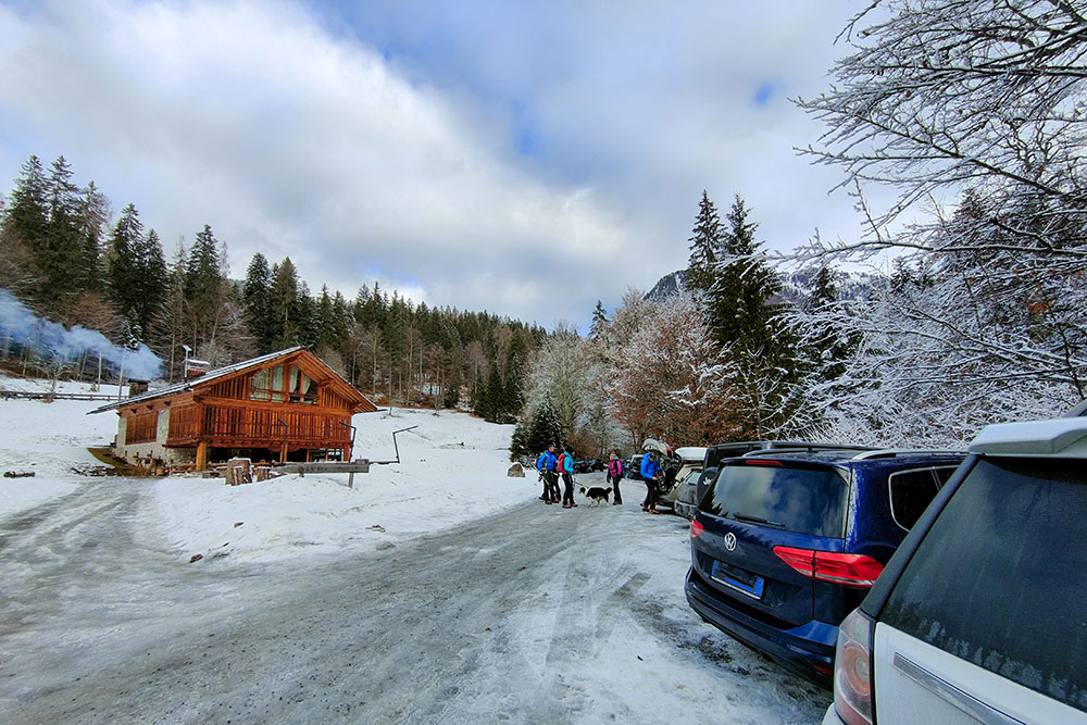
Parcheggio a Pra de la Casa
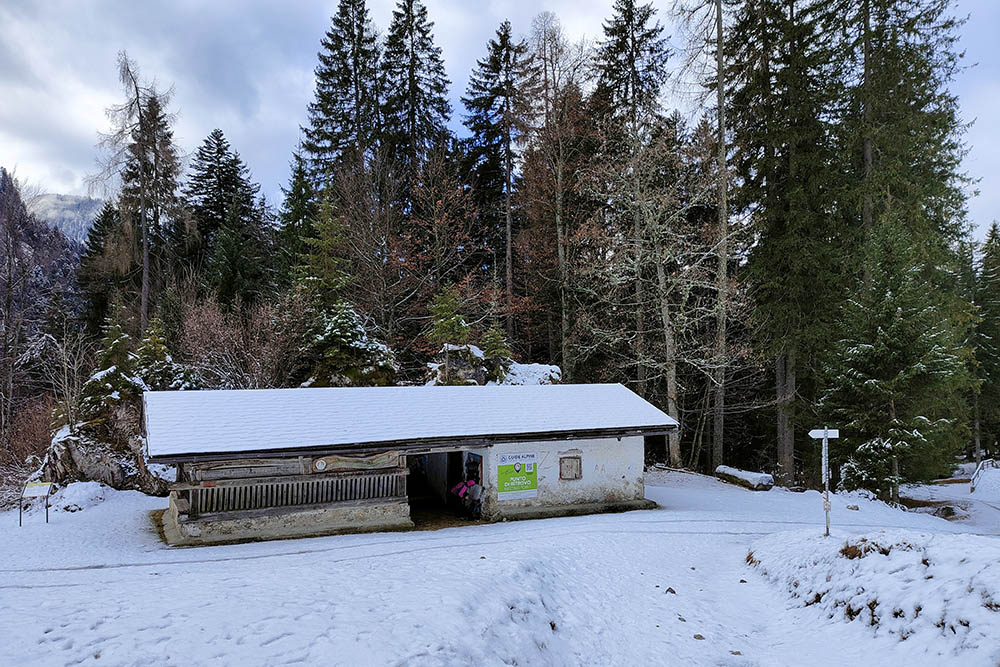
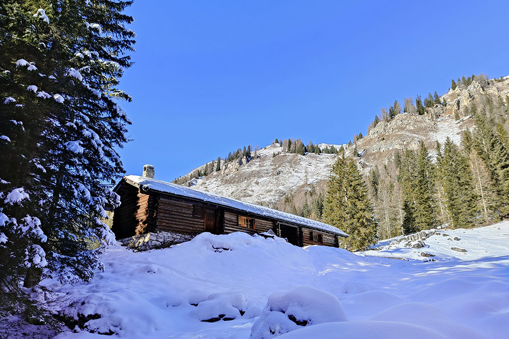
Malga Fratte
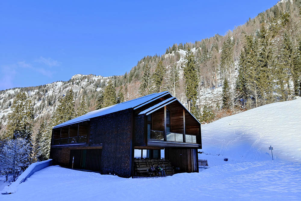
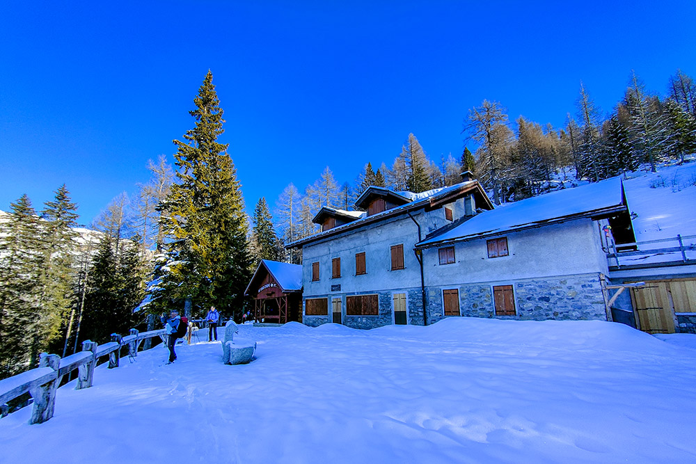
Rifugio Vallesinella
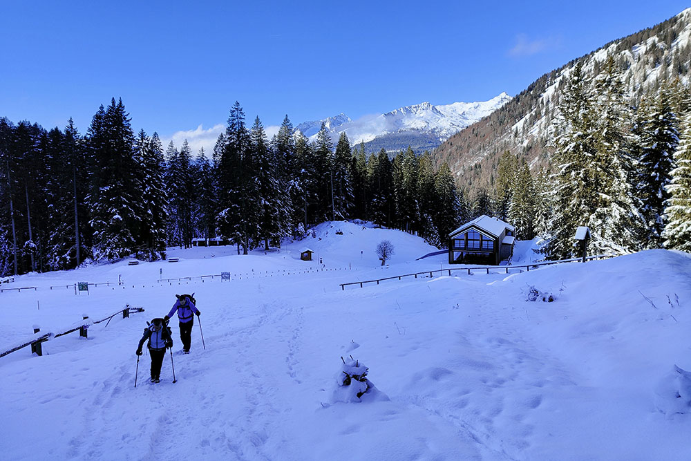
Si sale verso le Cascate Alte
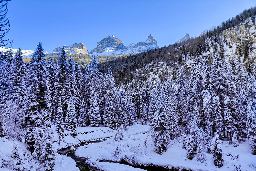
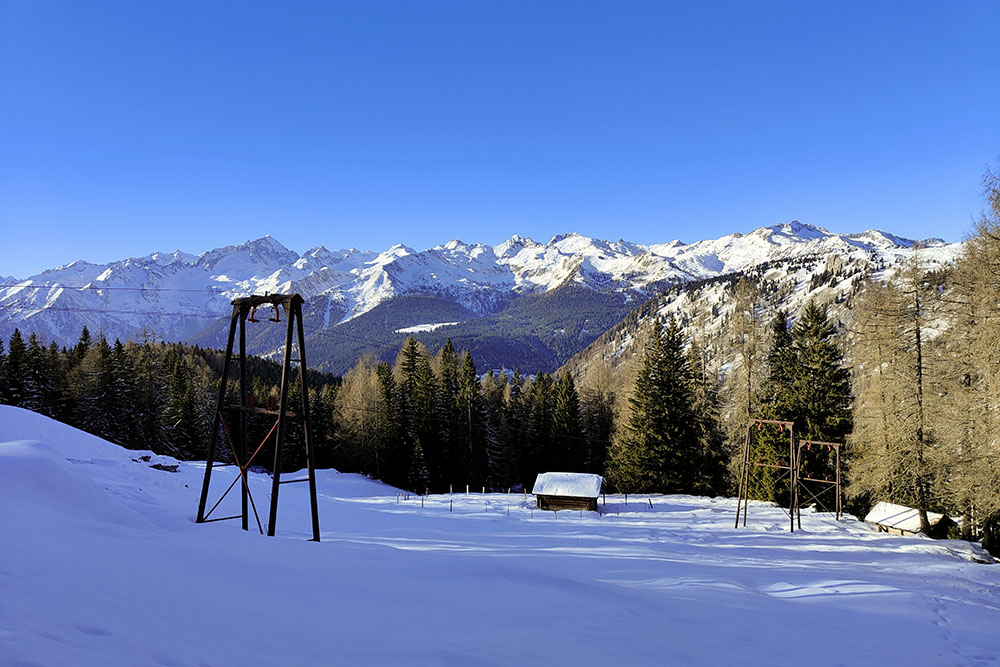
Si vedono le vette del Gruppo del Brenta
Siamo arrivati alle Cascate Alte
Cascate Alte
Si sale ancora
Malga Alta di Vallesinella
Rifugio Casinei
Vista sul gruppo dell'Adamello
Si scende verso le Cascate di Mezzo
Dall'alto il Rifugio Cascate di Mezzo
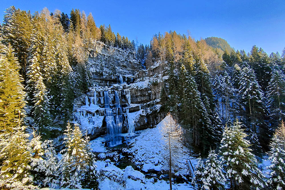
Cascate di Mezzo
Malga Brenta Bassa


