


![]()


Durata
 6:00 h
Distanza
 11,3 km
 Ascesa
 1035 m
Discesa
 1035 m
H Max
 1550 m
H Min
 515 m
515 mMalga Bodrina from Vigo di Ton
DESCRIPTION
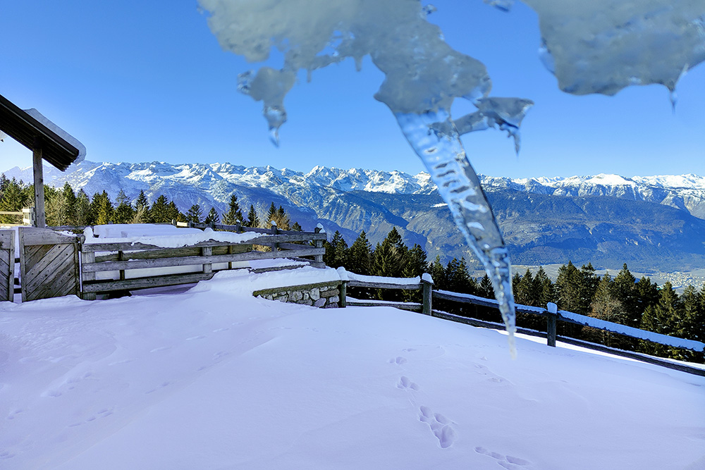
From the Malga Bodrina spectacular view of the Brenta Group and the Maddalene.
We are at the beginning of the Val di Non, near the suggestive medieval fortress of Castel Thun.
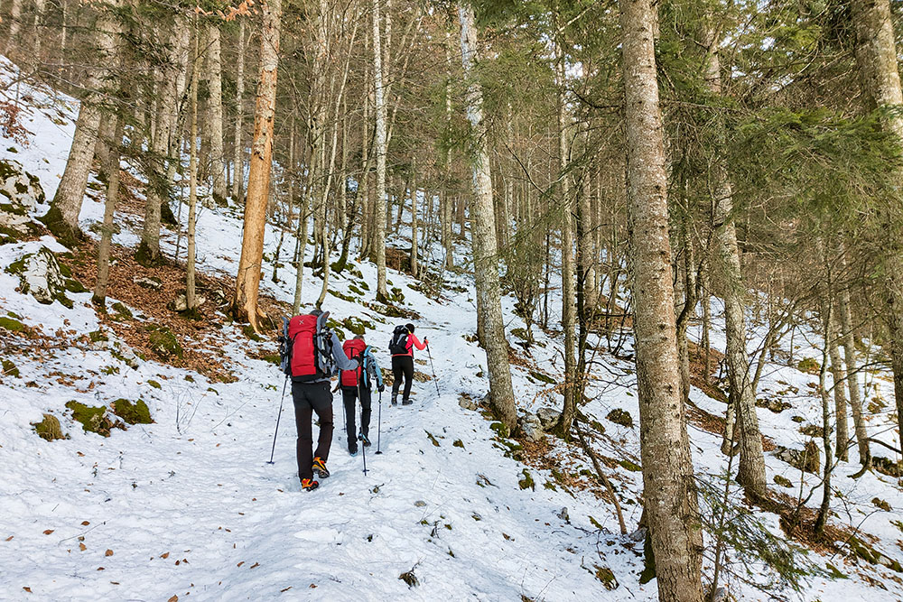
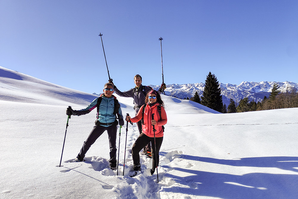
The itinerary we propose is quite challenging, characterized by a steep climb that we could define as almost vertical: 1035 meters of altitude difference over 4.7 km. The challenge is considerable and will require considerable effort, but the view and experience that awaits you will certainly be worth it.
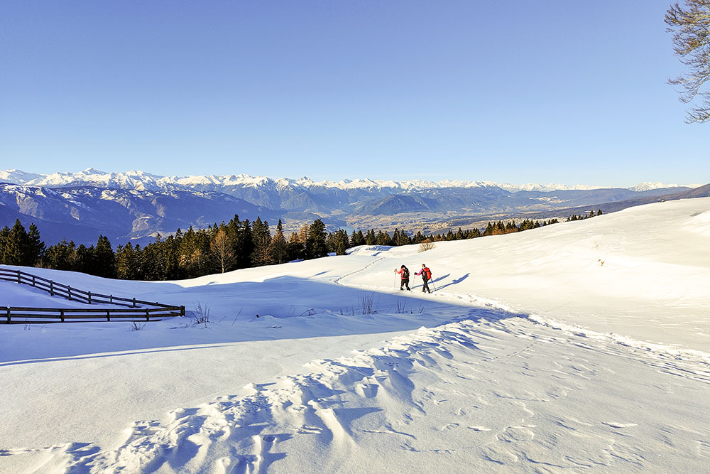
Specifically, the winter climb with snowshoes is particularly interesting, as it develops entirely in the woods and reaches a maximum altitude of only 1550 metres, significantly reducing the risk of avalanches.
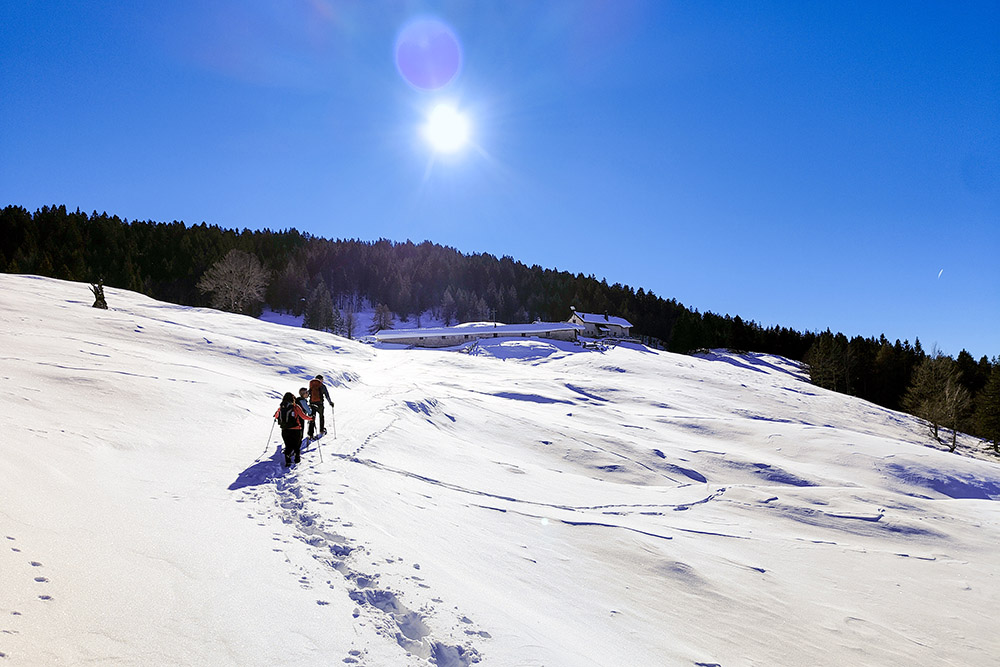
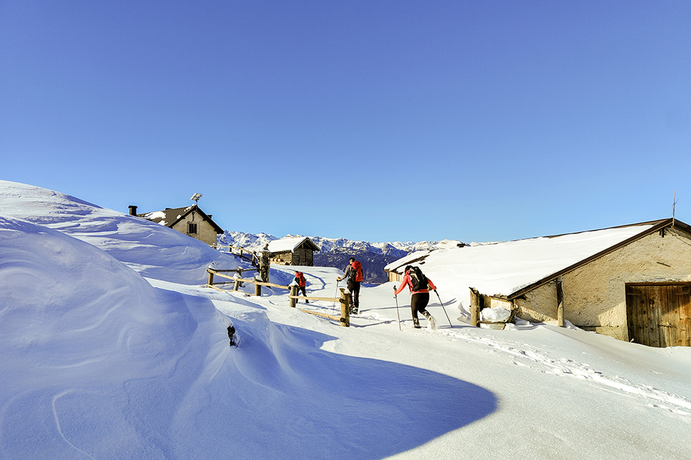
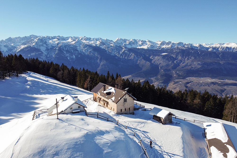
Once you reach your destination, Malga Bodrina, you will find yourself faced with a spectacular panorama of the snow-capped peaks of the Brenta and Maddalene Groups. It is the culmination point of the route and the only sunny stretch; for the rest of the journey, you will always move in the shade.
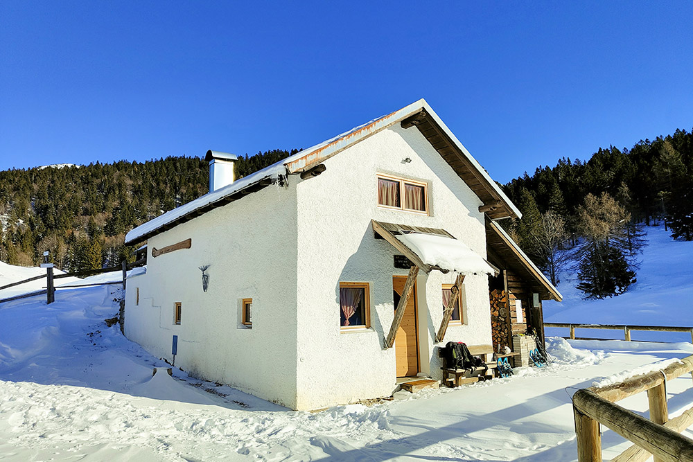
It is important to note that Malga Bodrina is closed during the winter, but Rifugio Rododendro, a small bivouac managed by SAT, is open from October to May, offering a welcoming refuge for those who decide to tackle this winter adventure.
ITINERARY
From the car park (515 m) take path 509. The first stretch follows the road and then the path almost to the destination. Near the hut, leave the path and continue on the road arriving at Malga Bodrina (1550 m) and the adjacent Rifugio Rododendro (1550 m). You return to the valley following the road entirely.
EXCURSION DATE
January 13, 2024
STARTING POINT
Parking near the sports field.
REFRESHMENT POINT
In winter no one.
AUTHOR’S SUGGESTIONS
In addition to snowshoes, it is advisable to bring crampons.
SAFETY TIPS
Snowpack stability is subject to sudden and unpredictable changes. For your safety, always consult the avalanche bulletin, because the snowpack is subject to rapid changes, ask the competent local offices for information. Our GPX tracks are indicative only, that is, the route was best done with the snow and weather conditions of that day. So always evaluate what to do on site. Also remember to evaluate the route based on your physical abilities, training and the equipment you have. It is appropriate to let someone know the itinerary you intend to take. Remember that the emergency number is 112.
EQUIPMENT
It is recommended to have the appropriate equipment: kit for self-rescue in avalanches (consisting of Artva, shovel and probe), snowshoes, sticks, crampons, glasses, sunscreen, hiking boots, winter clothing, gloves, cap, backpack hot drinks.
RECOMMENDED MAPS
Tabacco 067 Altopiano della Paganella - L. di Tovel - C. Brenta - Trento
INTERESTING LINKS
https://www.ilovevaldinon.it/malga-bodrina-val-di-non
HOW TO ARRIVE
A22 exit San Michele All'Adige. Take the Val di Non SS43 road up to Rocchetta. Here you stay on the left and take the Ex SS43 and then the SP203 up to Vigo di Ton. Now follow Via al Doss and then straight on arriving in Località Molini - Ponte Rinassico where the car park is located.
PARKING AREA
Close to the Vigo di Ton sports field.
GPS coordinates: 46.266423, 11.095166
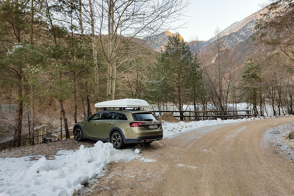
Parcheggio in Località Molini - Ponte Rinassico
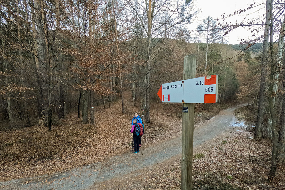
Qui inizia il sentiero 509
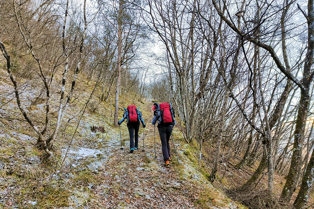
Il sentiero è ripido
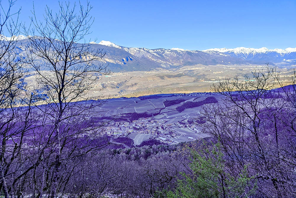
Vista su Vigo di Ton
Inizia ad esserci un po' di neve
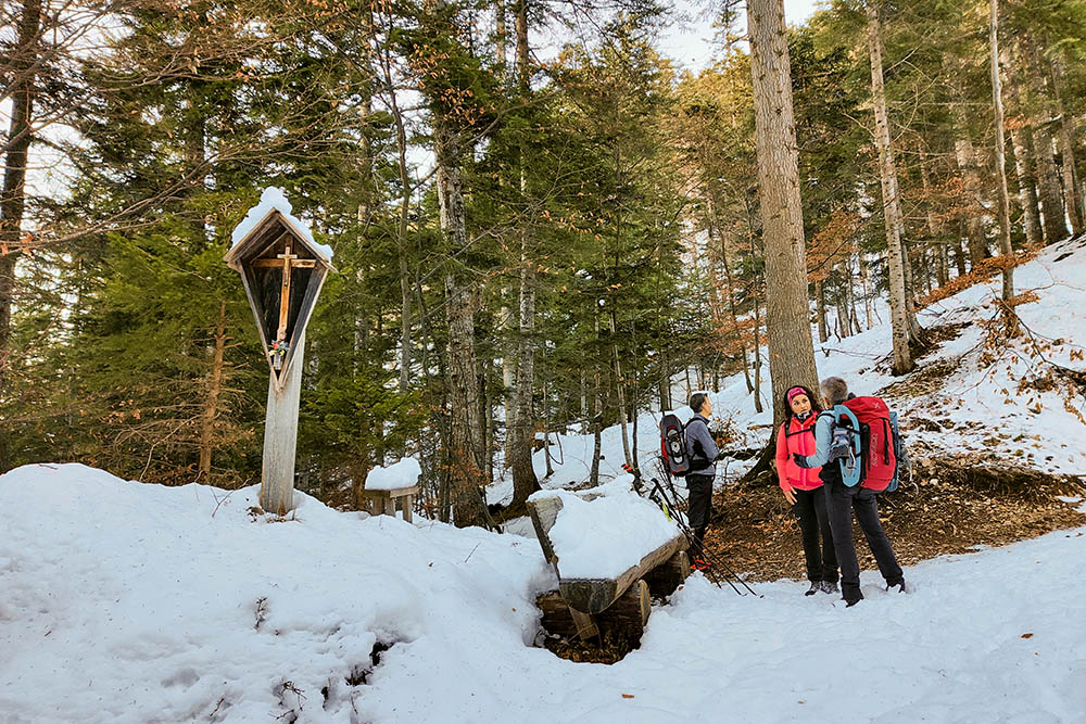
Siamo arrivati al crocifisso
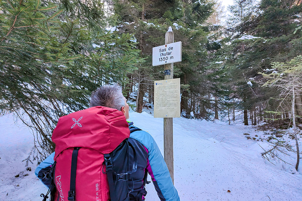
Sas de l'Autar
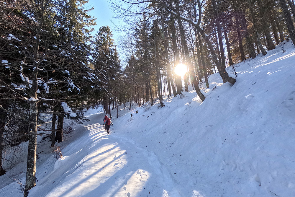
Qualche raggio di sole
Siamo arrivati ai prati della malga
Manca poco
Arrivati alla Malga Bodrina
Vista verso il Brenta
Vista dall'alto della Malga Bodrina
Rifugio Rododendro
Si ritorna


