


![]()


Durata
 4:20 h
Distanza
 9,8 km
 Ascesa
 679 m
679 mDiscesa
 679 m
679 mH Max
 2497 m
H Min
 1847 m
Forca Rossa from Passo San Pellegrino
DESCRIPTION
Casoni and forks: the winter excursion on the border between Trentino and Veneto.
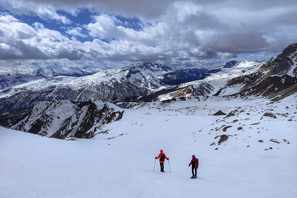
We are in Passo San Pellegrino, an enchanting place on the border between Trentino and Belluno. This itinerary is perfect for those who want to experience the unique experience of walking with snowshoes in the middle of the Dolomites.
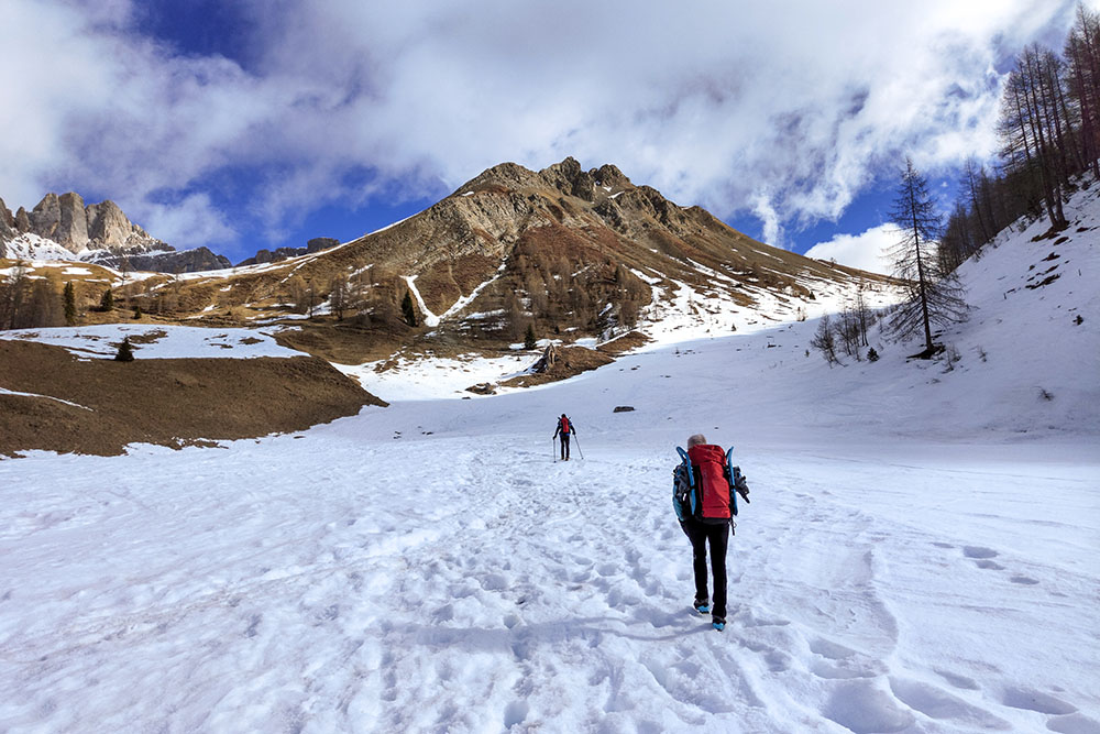
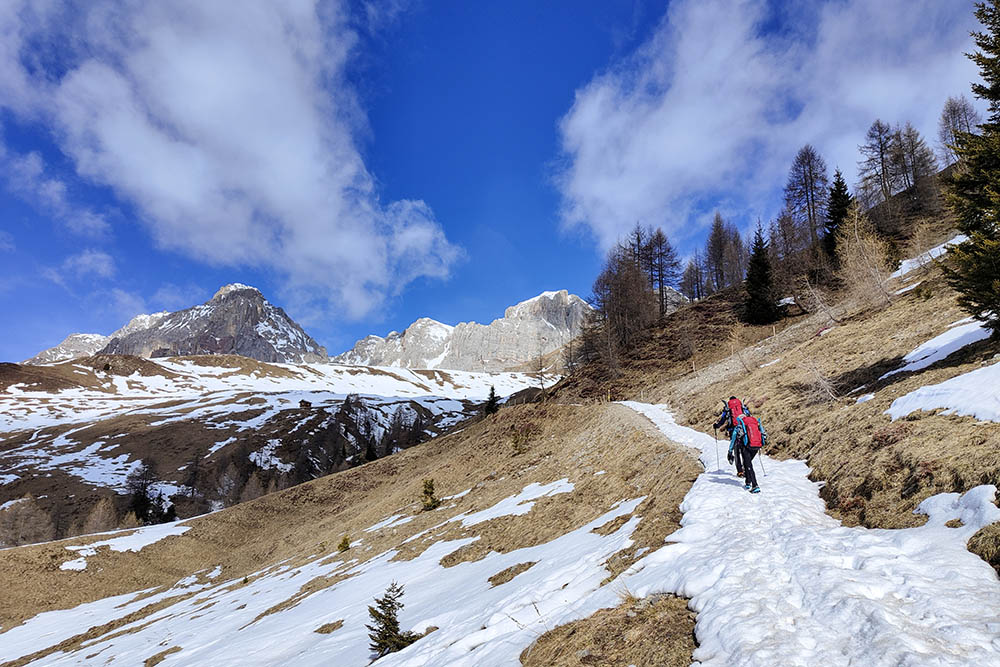
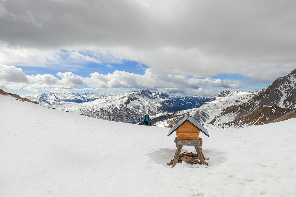
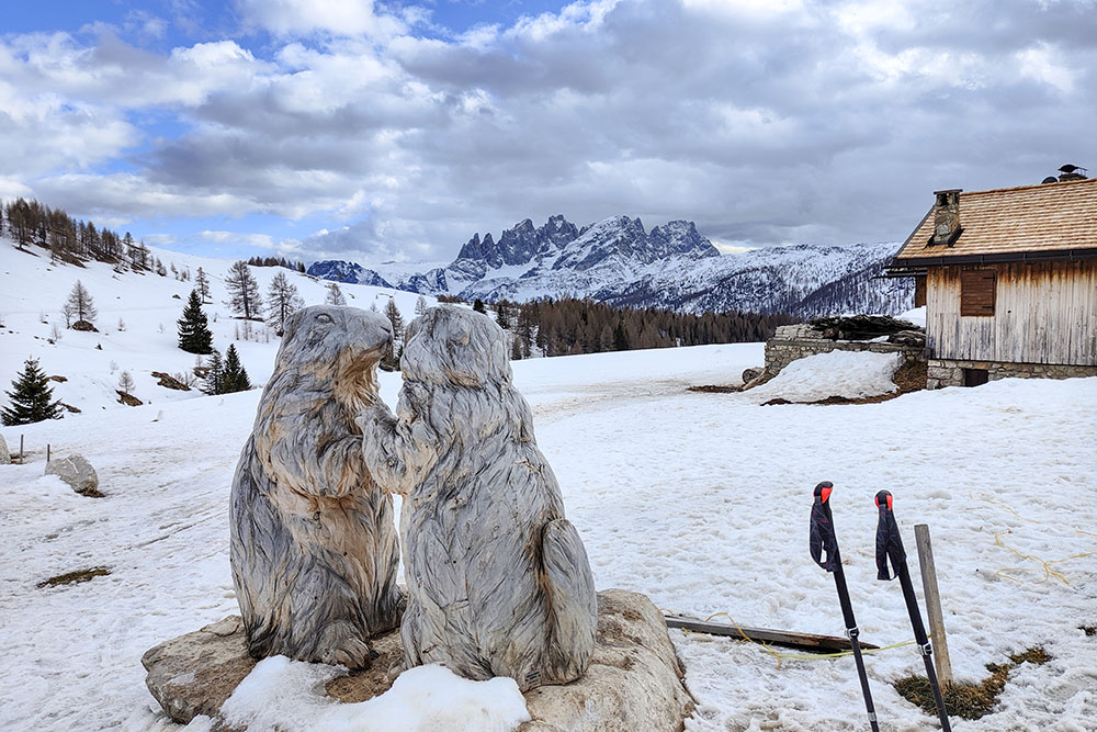
The ascent will be enriched by the breathtaking view of the Pale di San Martino, which will accompany us for the entire duration of the excursion. Along the way, we will meet characteristic mountain houses called casoni, which will make the atmosphere even more enchanting.
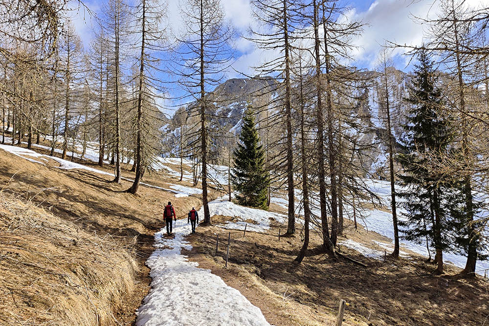
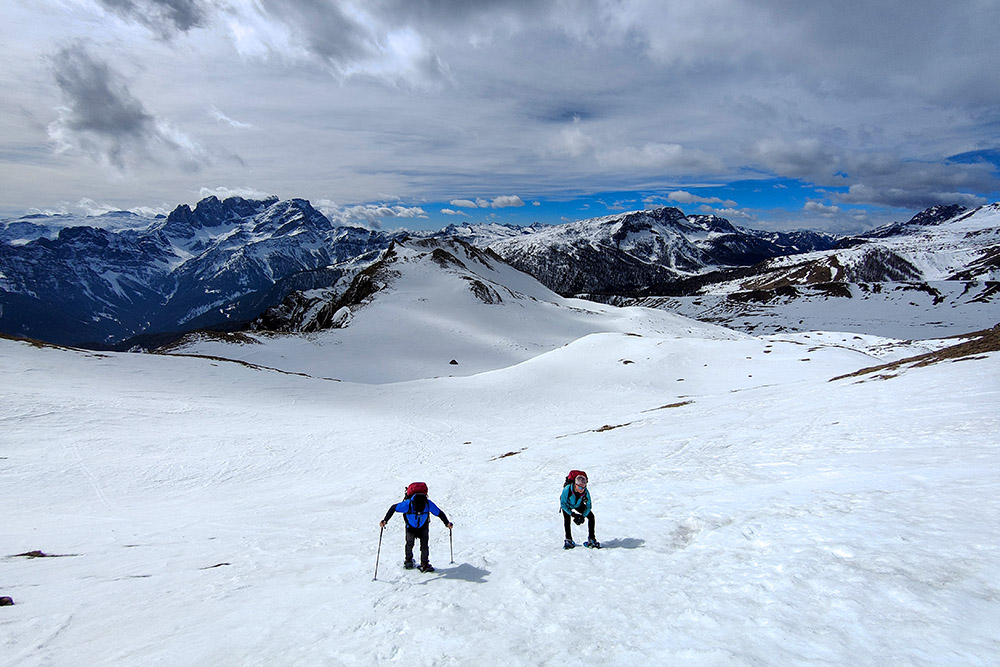
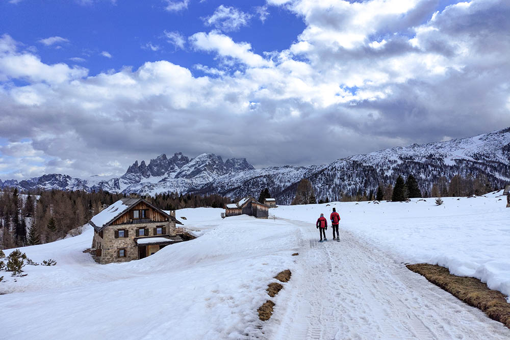
The first part of the excursion has moderate slopes, while in the second the terrain becomes steep, but in large grassy areas which will make the ascent less difficult. Once in Forca Rossa, the panorama will open up to 360 degrees, allowing us to admire the beautiful peaks of the Trentino and Veneto areas.
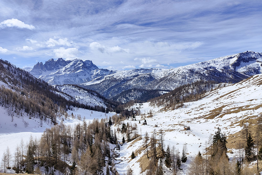
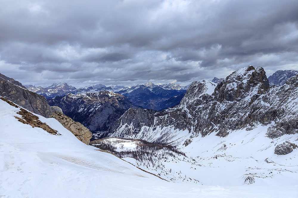
During the descent, we will be able to admire the beautiful and very popular Conca di Fuciade, with its refuge of the same name. In short, this itinerary is a true spectacle of nature that will leave you breathless.
ITINERARY
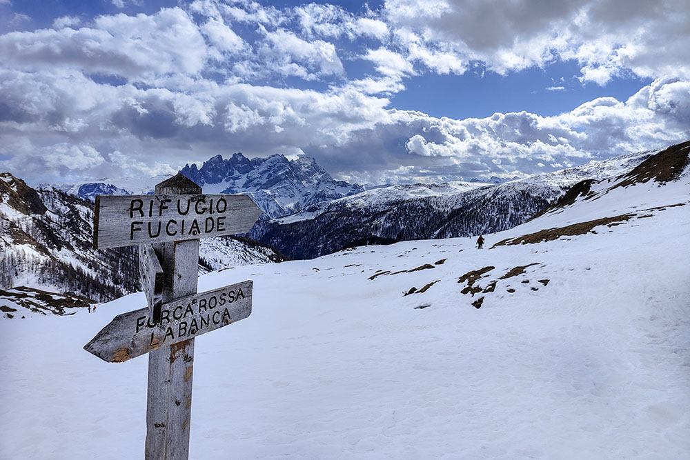
From the Col de Mez car park (1855 m) go in the direction of Malga Flora for about a hundred meters on the paved road and then turn left following the Malga Ai Lach trail sign. Arrived at the Casoni di Val Fredda (1875 m), where we also find a beautiful little church dedicated to Blessed Pier Giorgio Frassati (1920 m), continue climbing up to Anter Le Aive (2088 m). Here you take trail 694 “Alta Via dei Pastori” on the right. Once you reach Passo di Forca Rossa (2490 m) you return for a stretch on the same path and then you turn off onto the 670 Alta Via delle Dolomiti reaching the Rifugio Fuciade (1982 m). To return to the car park, follow the forest road and then, at a crossroads, go left up to the car park.
EXCURSION DATE
March 12, 2023
STARTING POINT
From the Col de Mez car park
REFRESHMENT POINT
Rifugio Fuciade (1982 m)
AUTHOR’S SUGGESTIONS
If the snow is very frozen, bring crampons as well.
SAFETY TIPS
Snowpack stability is subject to sudden and unpredictable changes. For your safety, always consult the avalanche bulletin, because the snowpack is subject to rapid changes, ask the competent local offices for information. Our GPX tracks are indicative only, that is, the route was best done with the snow and weather conditions of that day. So always evaluate what to do on site. Also remember to evaluate the route based on your physical abilities, training and the equipment you have. It is appropriate to let someone know the itinerary you intend to take. Remember that the emergency number is 112.
EQUIPMENT
It is recommended to have the appropriate equipment: kit for self-rescue in avalanches (consisting of Artva, shovel and probe), snowshoes, sticks, crampons, glasses, sunscreen, hiking boots, winter clothing, gloves, cap, backpack hot drinks.
RECOMMENDED MAPS
Tabacco 015 Marmolada - Pelmo - Civetta - Moiazza
INTERESTING LINKS
https://www.fuciade.it/
HOW TO ARRIVE
From Moena: SS346 up to Passo San Pellegrino. Continue towards Falcade for 1.5 km, take a paved road on the left towards Rifugio Flora Alpina. Continue for 1 km arriving at the parking lot.
PARKING AREA
In Fuchiade - Col de Mez
GPS coordinates: 46.382169, 11.823575
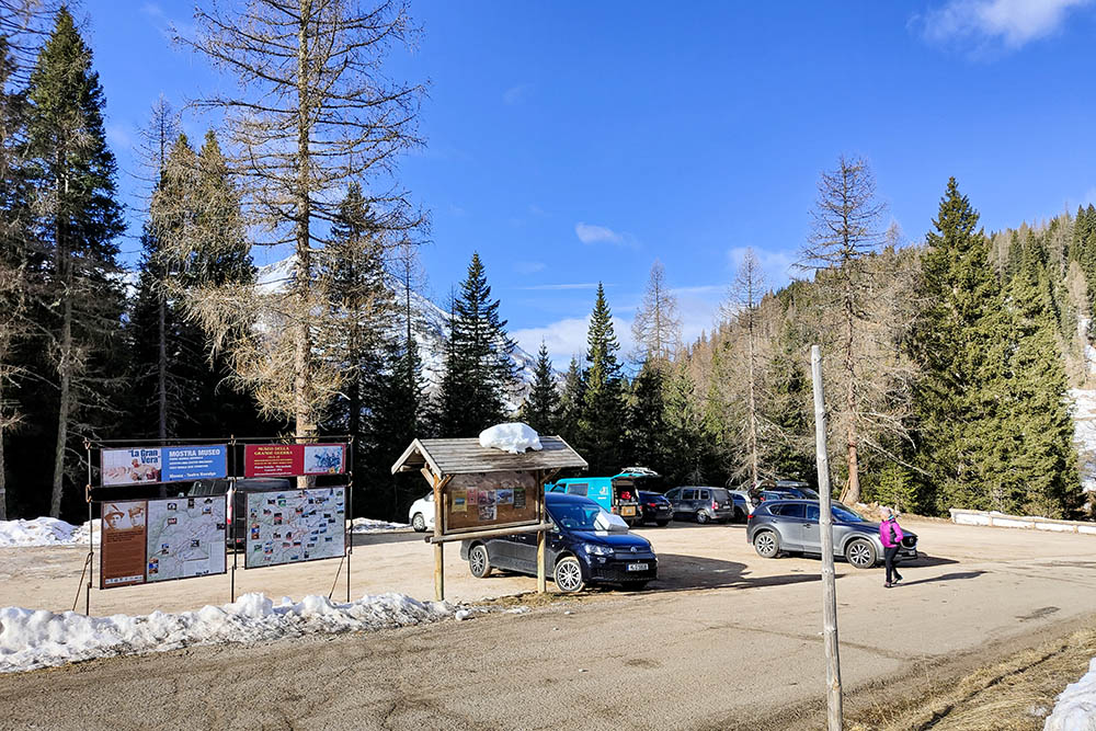
Parcheggio
Si prende la strada sterrata
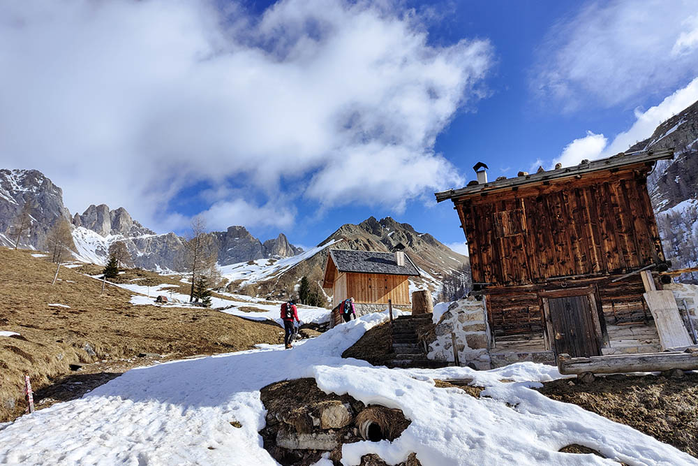
Siamo arrivati ai Casoni di Val Fredda
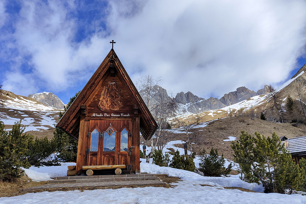
Chiesetta del Beato Pier Giorgio Frassati
Si continua la salita
Si continua la salita
Vista sulle Pale di San Martino
Tratto molto ripido
Forca Rossa
Panorama dell'altro versante
Si scende
Si devia a destra verso il Rifugio Fuciade
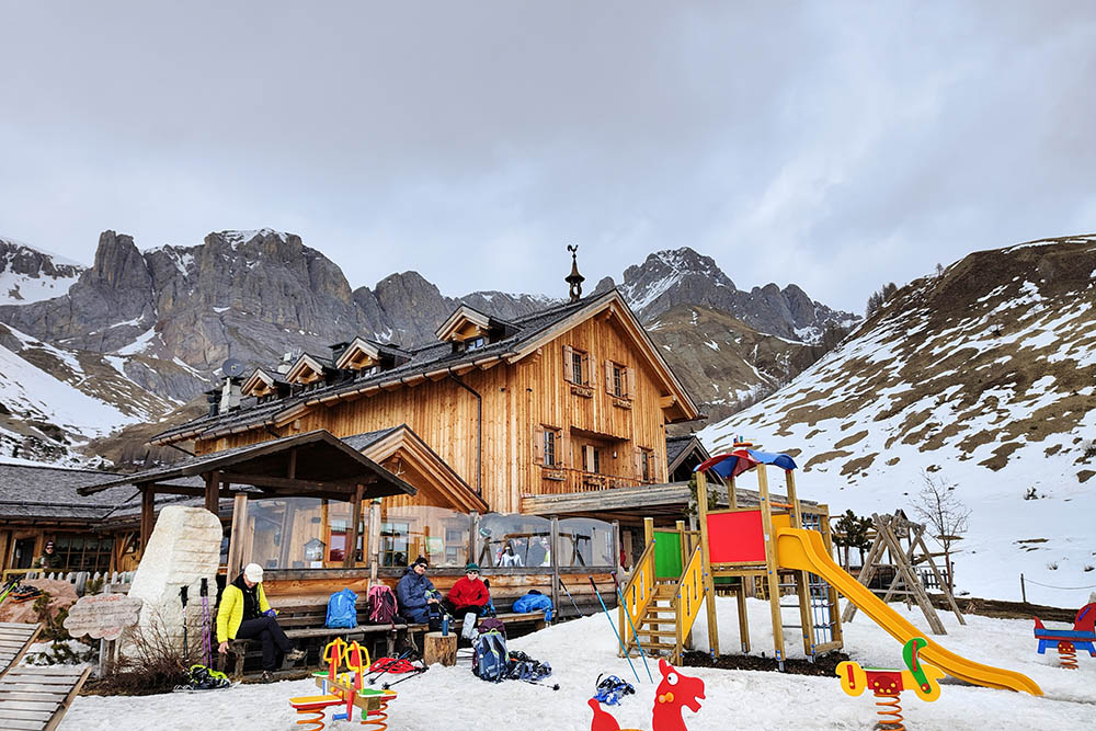
Rifugio Fuciade
Vista dal rifugio
Si ritorna al parcheggio


