


![]()


Durata
 3:42 h
Distanza
 10,3 km
 Ascesa
 312 m
312 mDiscesa
 312 m
312 mH Max
 872 m
872 mH Min
 607 m
607 mThe Rango Christmas Markets along the Walnut Path
DESCRIPTION
Easy excursion in Bleggio enriched by the Rango Christmas Markets.
The Sentiero della Noce winds through the suggestive area of Bleggio Superiore, with Santa Croce as the starting point, the capital district. The route passes through small villages where walnut reigns supreme, and ancient peasant villages offer a picturesque setting made up of narrow streets, paths and alleys.
Walnut cultivation has deep roots in this region, dating back to the times of the ancient Romans, representing a valuable source of income for local producers.
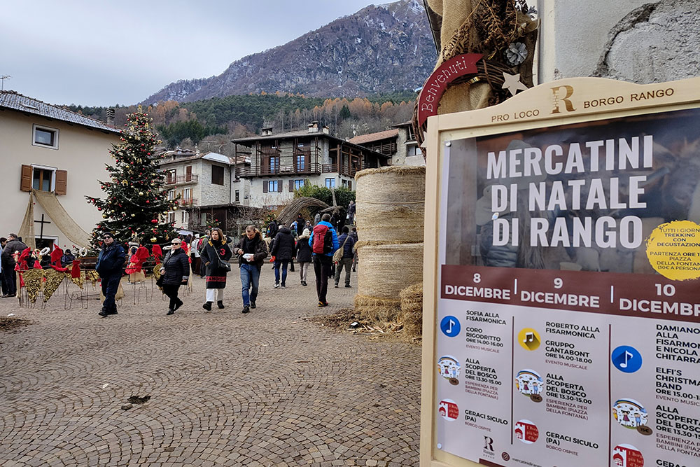
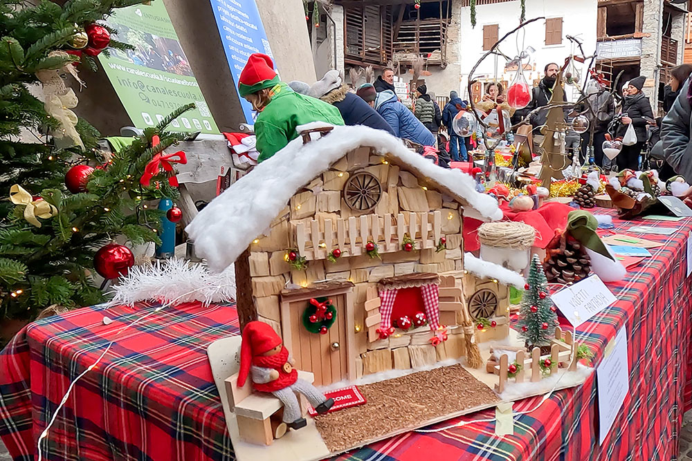
The beauty of this area is manifested in two important autumn events: the Bleggio Walnut Festival, which animates the streets of Cavrasto on the second weekend of November, and the Rango Christmas Markets, where you can breathe the enchanted atmosphere of Advent .
In Balbido, known as the painted village of Trentino, the eyes are lost among the murals that decorate the facades, while the Stria of Balbido, a majestic witch more than 10 meters high, created in 2019 with wood and bamboo canes, attracts the look and proclaims herself the tallest witch in the world.
ITINERARY
From the town of Santa Croce del Bleggio (632 m) following secondary roads you arrive at Cavrasto (697 m), the Church of Santa Giustina (742 m) and Balbido (760 m), a town of murals with a beautiful wooden witch. After 500 meters you arrive at Rango (811 m). Continue to Mazzone (787 m), Bivedo (741 m) and return to the starting point.
EXCURSION DATE
December 9, 2023
STARTING POINT
Santa Croce del Bleggio
REFRESHMENT POINT
In the villages you pass through.
AUTHOR’S SUGGESTIONS
Download our GPX track, because the itinerary is poorly signposted.
SAFETY TIPS
The viability of the proposed itinerary, like all mountain morphology, is subject to environmental changes due to natural events and weather conditions. Therefore, before leaving, consult the competent tourist offices and / or the refuges of reference.
Our GPX tracks are only indicative, that is, the route was carried out at best with the conditions of the trails and weather of that day. So always consider what to do on site.
Also remember to evaluate the route based on your physical abilities, training and the equipment you have.
You should leave someone the route you intend to do told.
Remember that the emergency number is 112.
EQUIPMENT
It is recommended to have the appropriate equipment for the route, weather conditions and season: windproof and / or rain jacket, map and / or GPS device, goggles, sunscreen, boots, first aid kit, specific clothing, gloves, backpack with food and drink.
RECOMMENDED MAPS
Tabacco 055 Arco - Valle del Sarca - Valle Dei Laghi
INTERESTING LINKS
https://mercatinidirango.it/
HOW TO ARRIVE
A22 exit Trento Sud. At the toll booth exit follow the signs for Madonna di Campiglio up to Comano Terme-Ponte Arche - approximately 30 km. Then follow the direction of Bleggio up to Rango for about 7 km.
PARKING AREA
In Santa Croce del Bleggio, free.
GPS coordinates: 46.025294, 10.839050
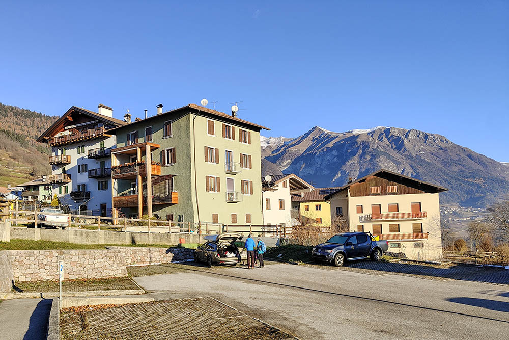
Parcheggio a Santa Croce del Bleggio
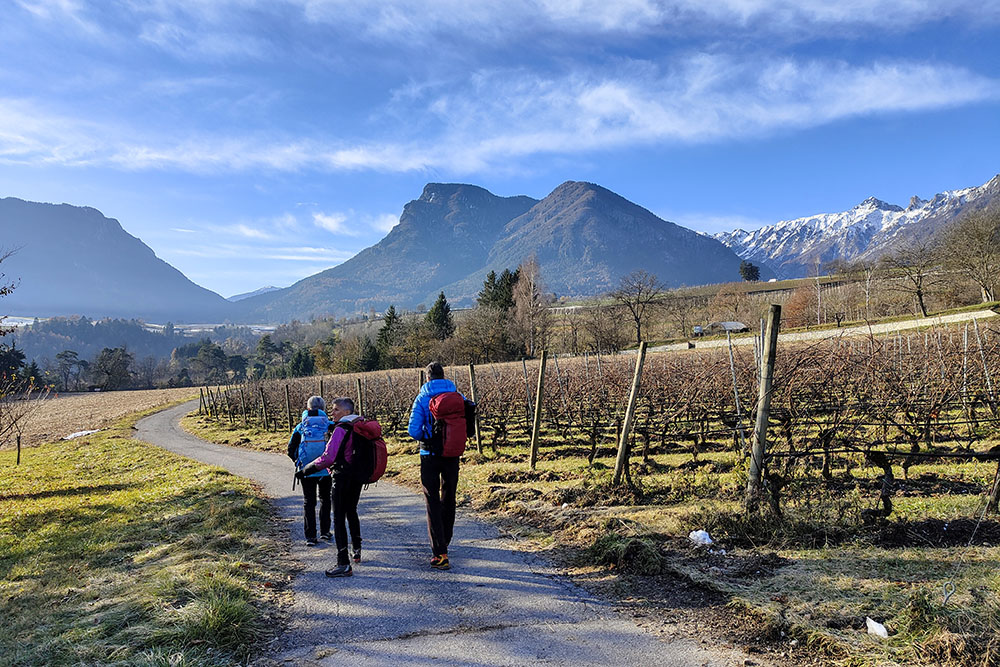
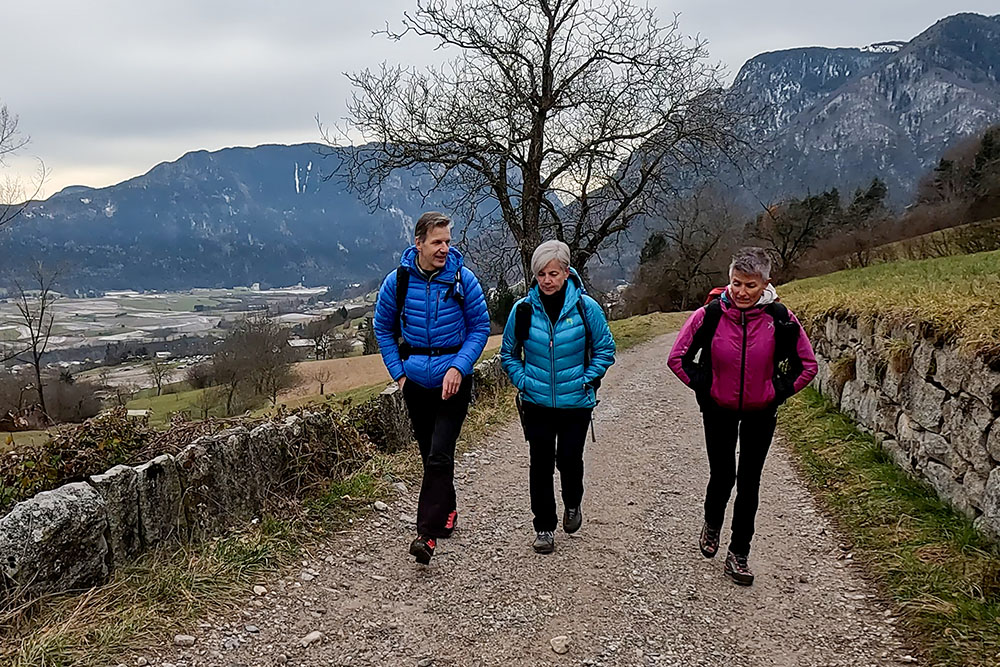
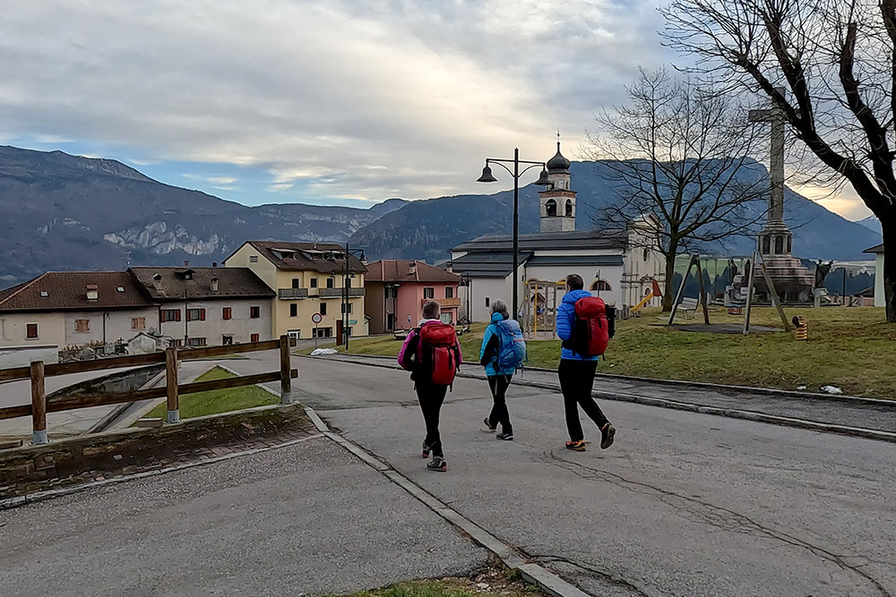
Si inizia la camminata
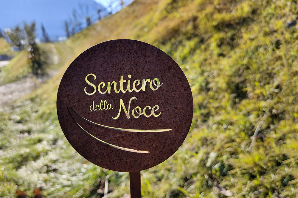
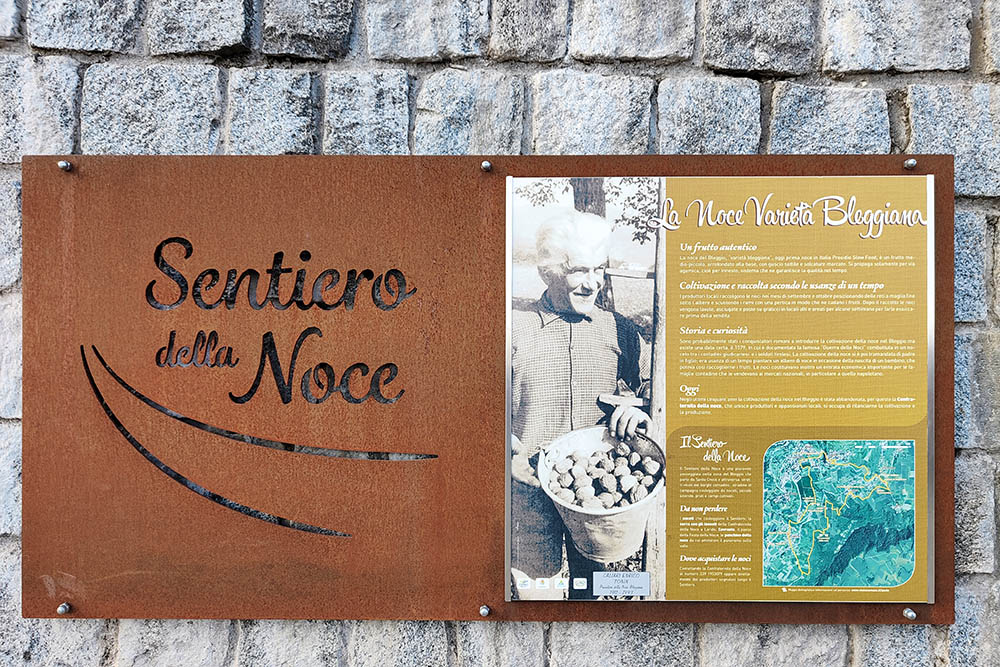
La segnaletica del Sentiero della Noce
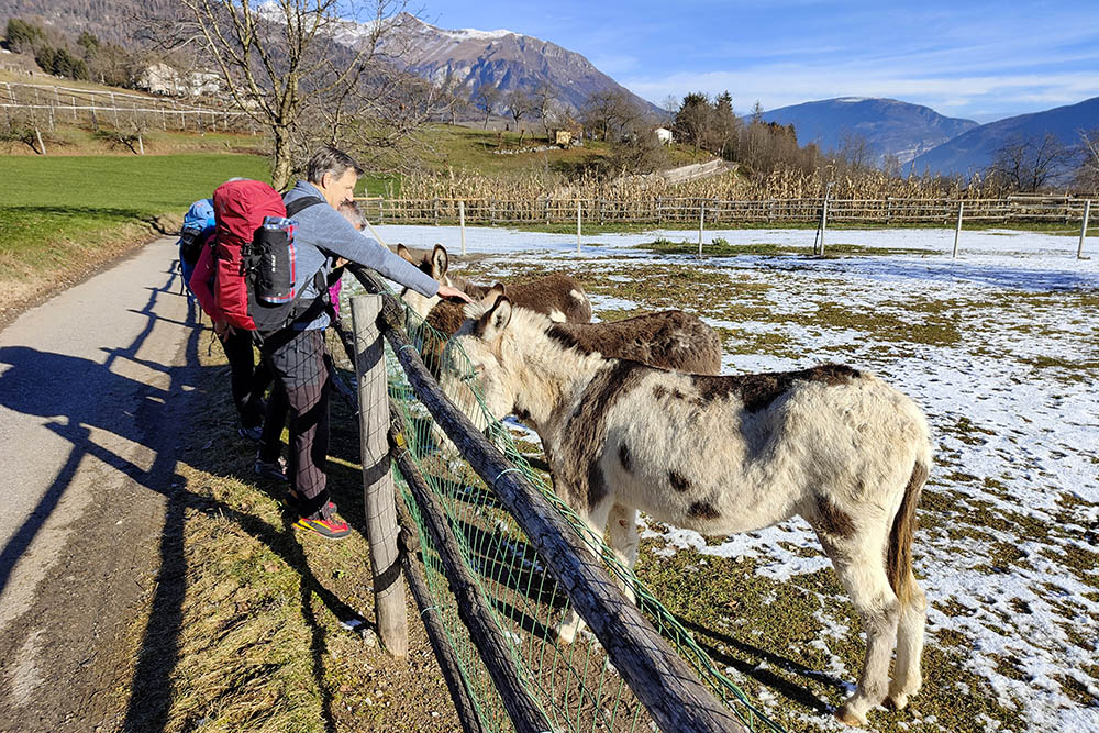
Abbiamo incontrato dei simpatici asinelli

La Chiesa di Santa Giustina
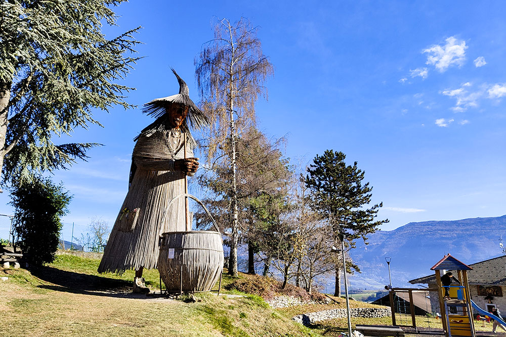
La Stria di Balbido
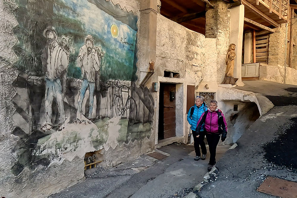
I murales di Balbido
Arrivati a Rango
I mercatini di Natale a Rango
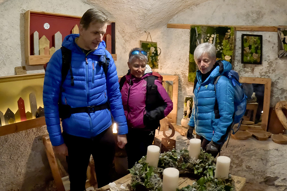
Esposizione allinterno delle case
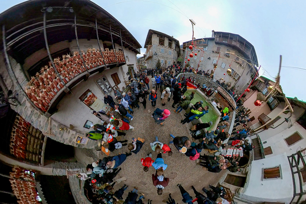
Il centro di Rango
Lasciamo Rango
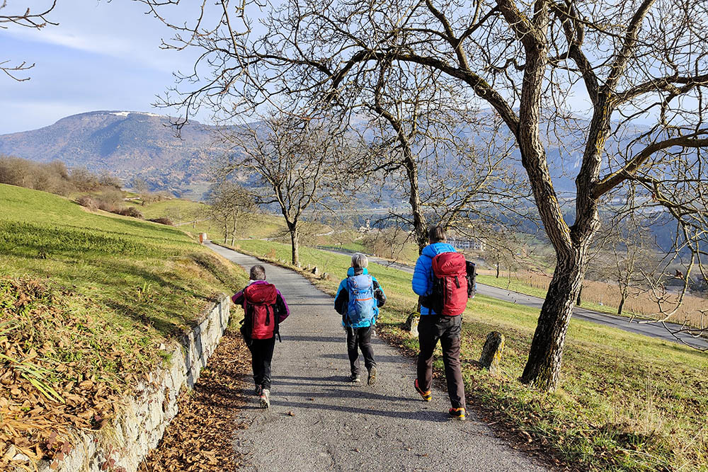
Si scende verso Santa Croce
Punto di partenza e arrivo dle Sentiero della Noce
Ritornati al punto di partenza


