


![]()


Durata
 5:05 h
Distanza
 10,1 km
 Ascesa
 1010 m
Discesa
 1010 m
H Max
 2319 m
H Min
 1460 m
Sas da Ciamp, Cima da Ciamp and Monte Toac
DESCRIPTION
Panoramic excursion above Moena.
The proposed excursion is a fascinating circular itinerary which, although not excessively demanding, offers fantastic views. This route, characterized by a difference in altitude of approximately 1,000 metres, allows you to conquer three peaks: Sas da Ciamp, Cima da Ciamp and Monte Toac, all part of the majestic Latemar Group.
The climb to these peaks, although it has steep sections, is well worth it. Once you reach the top, you will be rewarded by a spectacular view that embraces the Latemar Group, the Catinaccio, the various Dolomite groups of the Alta Val di Fassa, the picturesque Moena, the suggestive Val San Pellegrino and even the majestic Lagorai Group. An unmissable experience for mountain and wild nature lovers.
ITINERARY
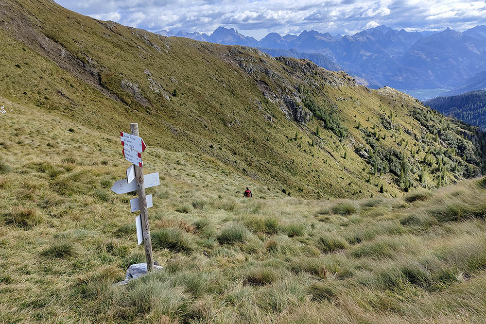
From Località Penia (1468 m) take path 521 which leads to Forcella Peniola (2150 m). From here you go up to the right for about 10 minutes arriving at Sas da Ciamp (2186 m). You return to the fork and go up to the left arriving at Cima da Ciamp (2265 m), Monte Toac (2319 m) and Forcella Toac (2273 m). Now descend Val Toac along path 517. Once you reach La Pala granda/Toac gran (2050 m), turn left and pass Col Toac (2043 m). At Col da la Paussa - L Pra (1568 m) you leave the 517, take the 521B and passing through Pra Compert (1528 m) you return to the starting point.
EXCURSION DATE
September 24, 2023
STARTING POINT
Location Penia – Moena
REFRESHMENT POINT
Nobody
AUTHOR’S SUGGESTIONS
It is advisable to make the ring counterclockwise.
SAFETY TIPS
The viability of the proposed itinerary, like all mountain morphology, is subject to environmental changes due to natural events and weather conditions. Therefore, before leaving, consult the competent tourist offices and / or the refuges of reference.
Our GPX tracks are only indicative, that is, the route was carried out at best with the conditions of the trails and weather of that day. So always consider what to do on site.
Also remember to evaluate the route based on your physical abilities, training and the equipment you have.
You should leave someone the route you intend to do told.
Remember that the emergency number is 112.
EQUIPMENT
It is recommended to have the appropriate equipment for the route, weather conditions and season: windproof and / or rain jacket, map and / or GPS device, goggles, sunscreen, boots, first aid kit, specific clothing, gloves, backpack with food and drink.
RECOMMENDED MAPS
Tabacco 014 Val di Fiemme - Lagorai - Latemar
INTERESTING LINKS
https://www.malgapeniola.it/
HOW TO ARRIVE
From the center of Moena take the Str. Cirillo Dellantonio, turn left onto Str. De Fachin, left again onto De Somariva, then Str. De la Rossa and Via Sorte up to the hamlet of Sorte. Here you continue on Str. De Sort arriving first at Malga Panna and then at Località Penia.
PARKING AREA
Free at Malga Peniola
GPS coordinates: 46.365142, 11.635663
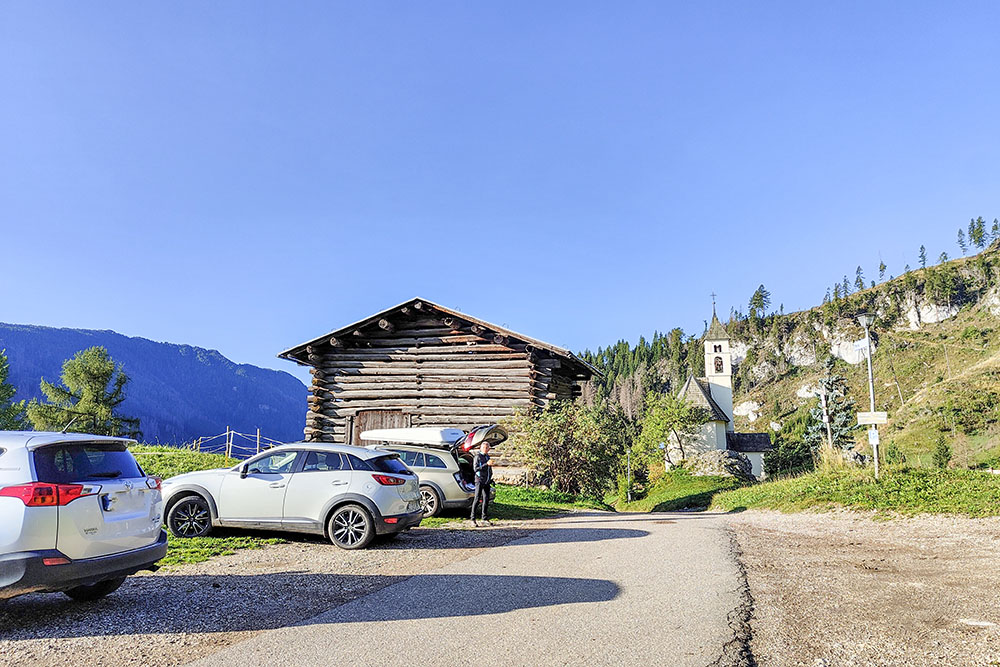
Parcheggio presso Malga Peniola
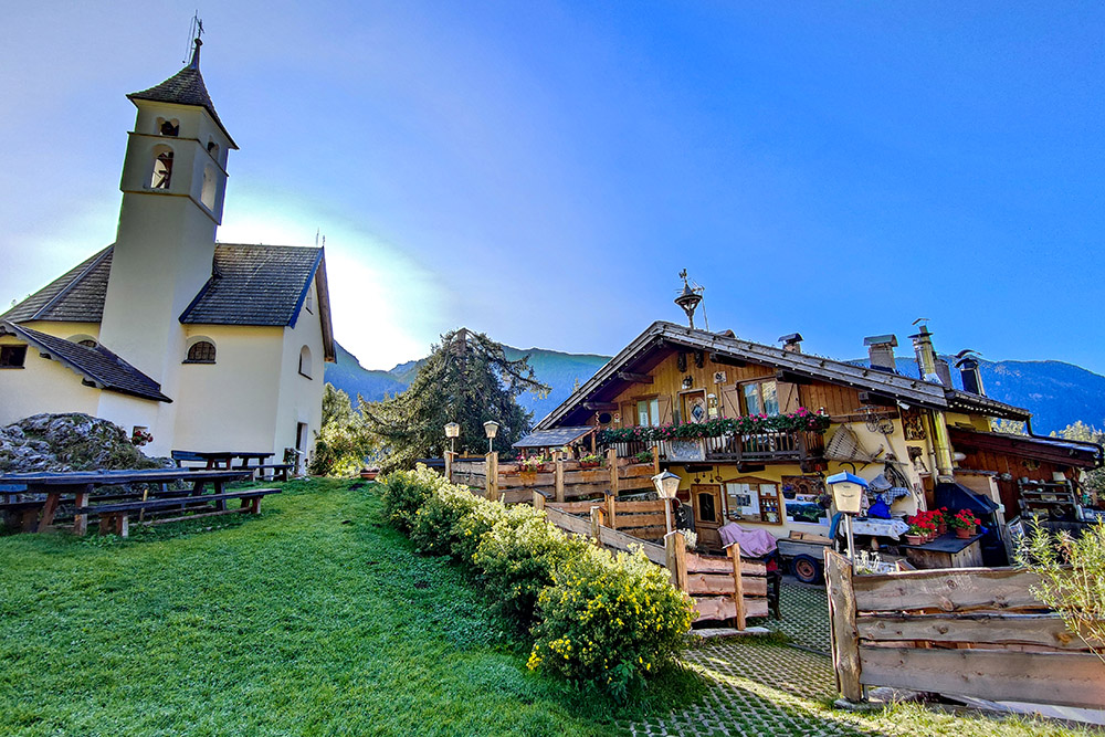
Malga Peniola e Chiesa di San Giovanni Nepomuceno
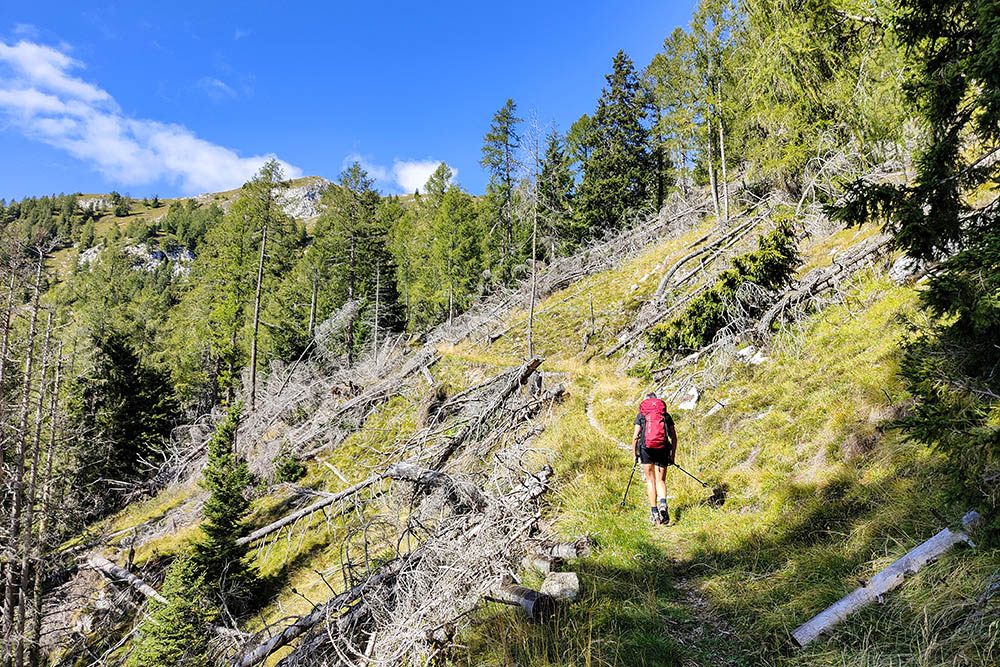
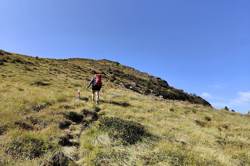
Si sale per il sentiero 521
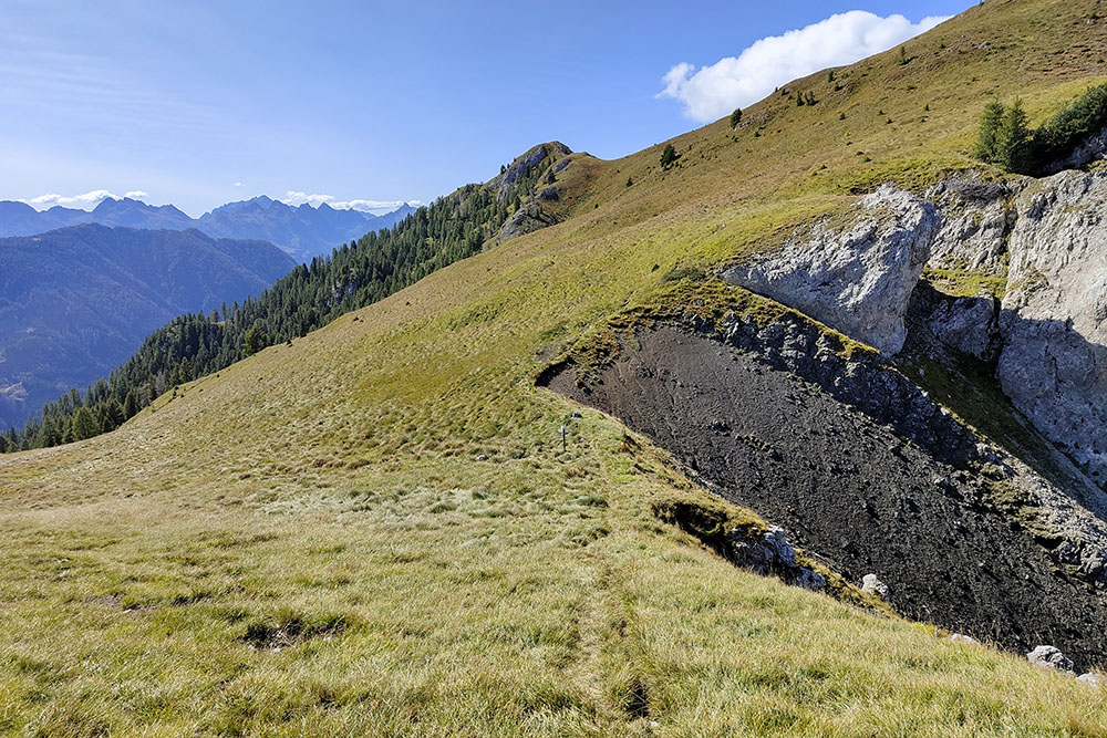
Arrivati alla Forcella Peniola
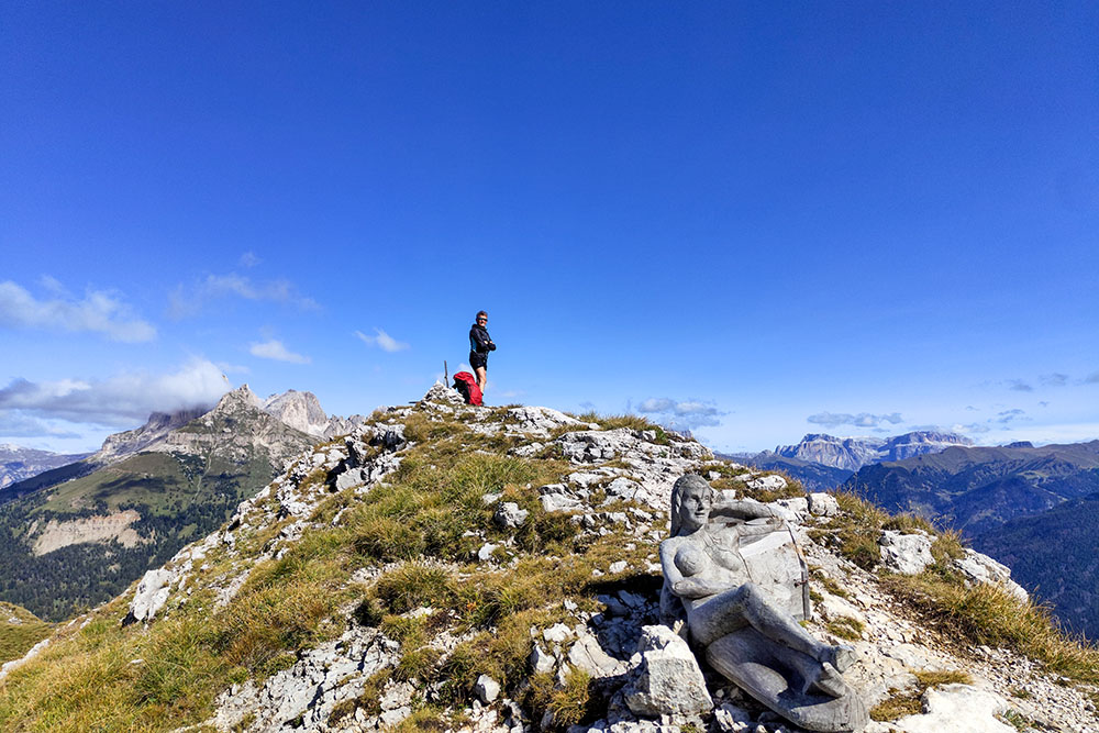
In vetta a Sas da Ciamp
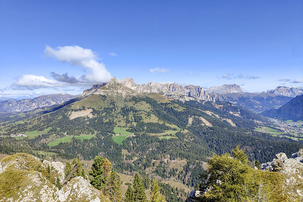
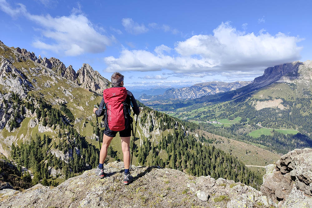
Vista verso il Catinaccio
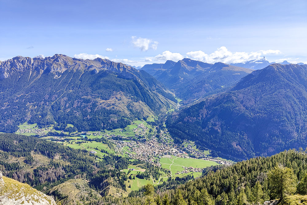
Vista su Moena e la Val San Pellegrino
In vetta a Sas da Ciamp
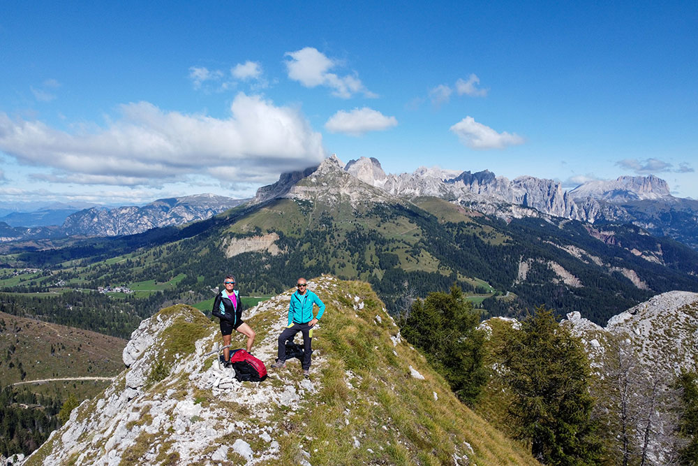
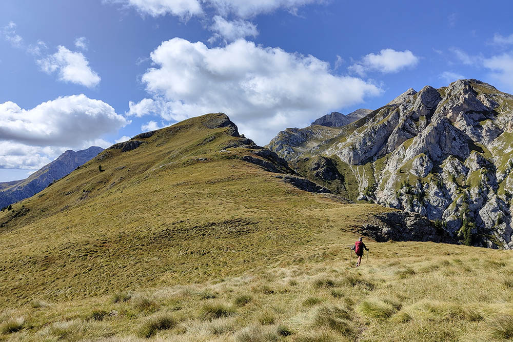
Si sale verso la Cima da Ciamp
Si sale alla cima del Monte Toac
Panorama sulla conca di Carezza
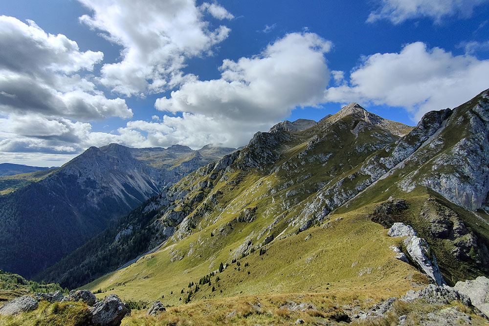
Il Gruppo del Latemar dalla cima del Monte Toac
Si scende dalla Forcella Toac
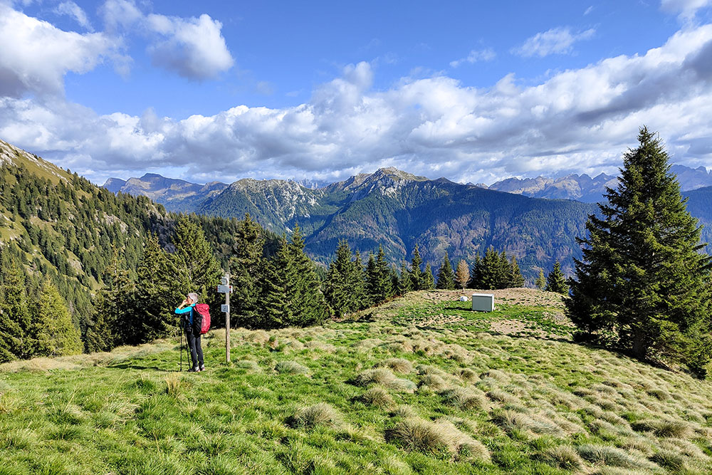
Col Toac
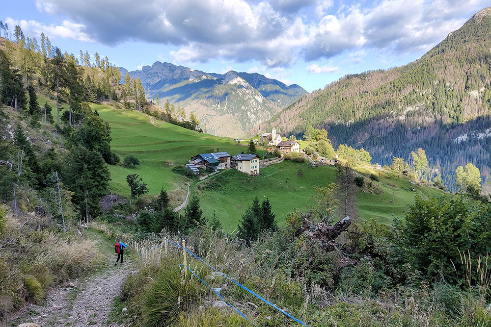
Si rientra alla località Peniola


