


![]()


Durata
 4:45 h
Distanza
 30,1 km
 Ascesa
 1263 m
Discesa
 1263 m
H Max
 2162 m
H Min
 909 m
909 mTrail 707 Malga Campo - Val di Sole
DESCRIPTION
Challenging E-MTB excursion with technical passages.
This route is considered one of the most enjoyable MTB routes in the splendid Val di Sole. During the excursion, the climb does not present any particular technical difficulties, making the experience accessible to everyone.
However, it is important to note that the descent, especially the stretch from Malga Campo to Strombiano, is only recommended for expert bikers, as the trails present difficulty levels of S2 and S3. The presence of obstacles requires skill and control in driving. Therefore, we recommend this part of the route only to those who have good MTB experience.
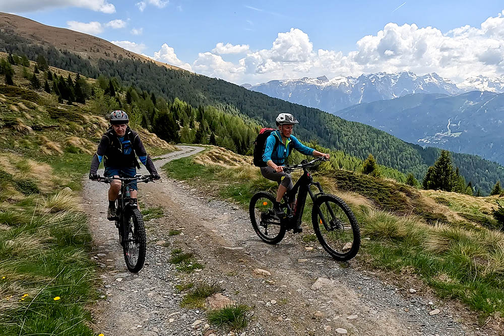
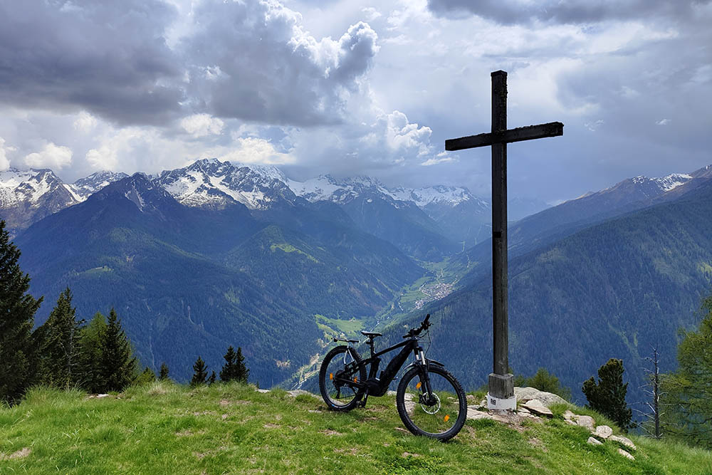
Throughout the journey, you will be accompanied by an extraordinary panorama that embraces the majestic peaks of the Brenta Group, the Ortles Cevedale and the Adamello Presanella. This breathtaking view will be a constant source of wonder and will give you an unprecedented natural spectacle.
In summary, this exciting E-MTB excursion will offer you the opportunity to immerse yourself in the beauty of the Val di Sole. You will enjoy an easy ascent and an adrenaline-pumping descent, if you have the necessary skills.
ITINERARY
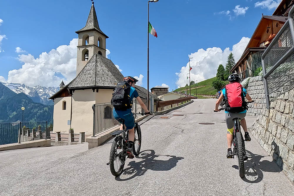
From Pellizzano (930 m) take the cycle path towards Malè. After a while, turn left and take the road that leads to Ortisè (1490 m). Once in the village, always follow the signs for MTB 707 and climb up an easy road, now a dirt road, up to Malga Monte (2159 m). Now go down the path to Malga Campo (1979 m). We continue to descend, on paths for the experts, on a dirt road for the others. Once in Strombiano (1173 m), take an easy dirt road that leads directly to Pellizzano.
EXCURSION DATE
June 2, 2023
STARTING POINT
Pellizzano
REFRESHMENT POINT
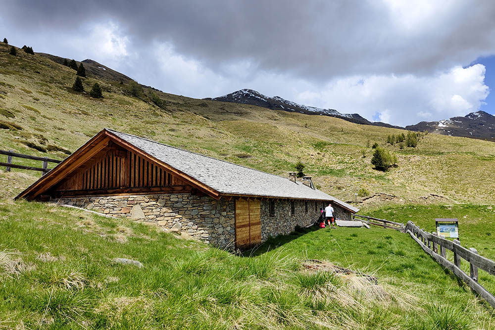
Malga Campo
AUTHOR’S SUGGESTIONS
Downhill, if you are not very experienced, follow the dirt road and don't take the paths. Some stretches of the trail have difficulty S3.
SAFETY TIPS
The viability of the proposed itinerary, like all mountain morphology, is subject to environmental changes due to natural events and weather conditions. Therefore, before leaving, consult the competent tourist offices and / or the refuges of reference.
Our GPX tracks are only indicative, that is, the route was carried out at best with the conditions of the trails and weather of that day. So always evaluate what to do on site.
Also remember to evaluate the route based on your physical abilities, the training and the equipment you have.
For e-bike owners: evaluate the kilometers and the altitude difference in relation to the battery power and the weight of the cyclist well.
You should leave someone the route you intend to do told.
Remember that the emergency number is 112.
EQUIPMENT
It is recommended to have the appropriate equipment for the route, weather conditions and season: helmet, windproof and / or rain jacket, map and / or GPS device, goggles, helmet and / or handlebar torch (an unexpected event may lengthen the travel times), sunscreen, MTB shoes, first aid kit, bike repair kit, specific clothing, whistle or signal bell, reflective bike wheels, gloves, backpack with food and drinks.
RECOMMENDED MAPS
Tabacco 048 Val di Peio - Val di Rabbi - Val di Sole
INTERESTING LINKS
https://www.visitvaldisole.it/it
HOW TO ARRIVE
A22 exit San Michele all'Adige. Continue towards Val di Non SS43 and, after Cles, take the SS42 up to Pellizzano.
PARKING AREA
Free in Pellizzano
GPS coordinates: 46.309164, 10.760078
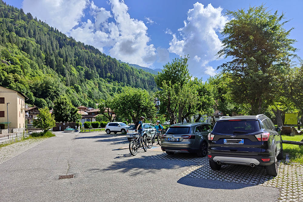
Parcheggio a Pellizzano
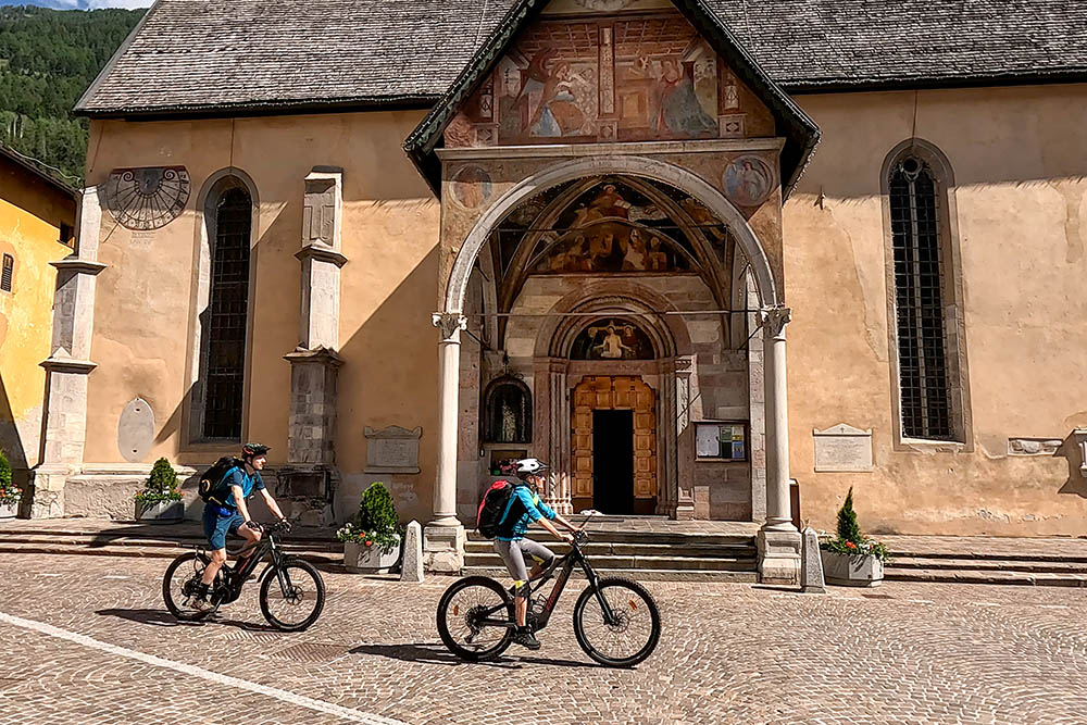
La bella chiesa di Pellizzano
Si sale su strada asfaltata
Panorama sulla Val di Sole
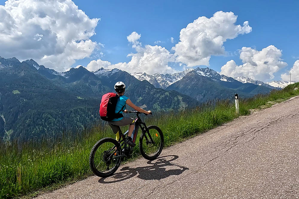
Vista sulla Presanella
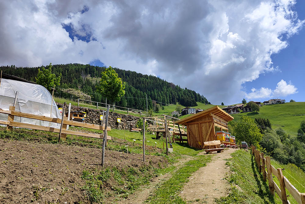
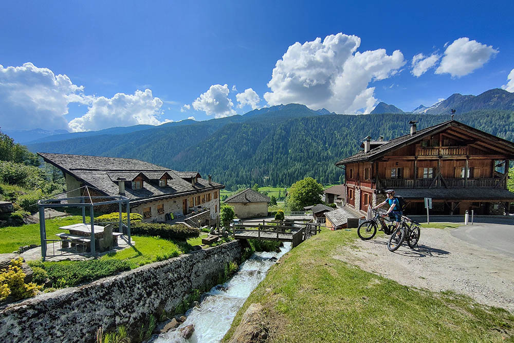
Arrivati alla Casa del Miele
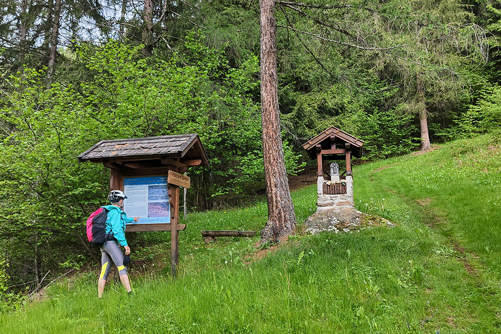
Oristè
Si sale su comoda strada sterrata
Malga Monte

Si scende su sentiero
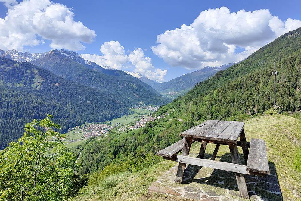
Belvedere sulla Val di Sole e Val di Peio
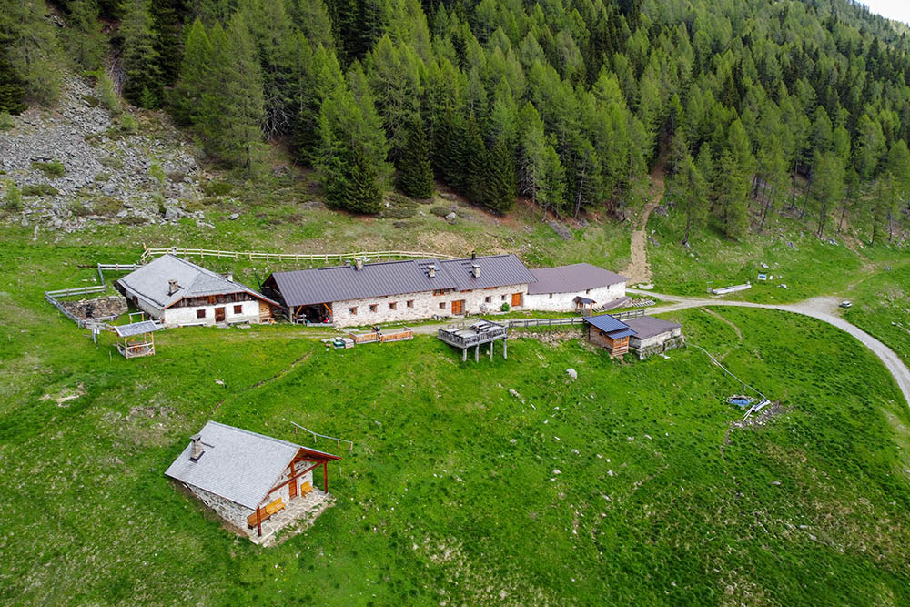
Malga Campo
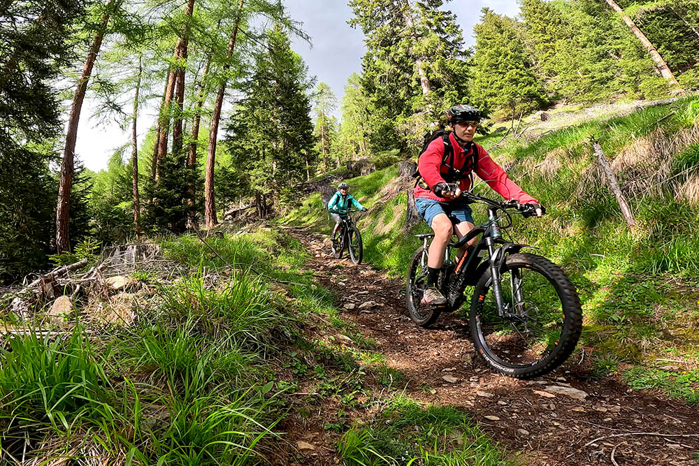
Sentiero non facile
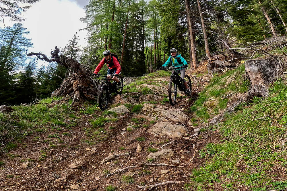
Punti critici
Località Plazola


