


![]()


Durata
 6:20 h
Distanza
 13,6 km
 Ascesa
 993 m
993 mDiscesa
 993 m
993 mH Max
 2493 m
H Min
 1500 m
Cima Cauriol from Val Sadole
DESCRIPTION
Discovering Cima Cauriol: excursion among panoramas and war memories.
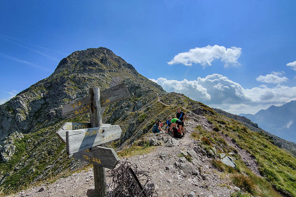
The excursion takes us to the top of Monte Cauriol, at an altitude of 2493 metres. From here the show is wonderful and the view spans 360 degrees over the Dolomites, the Lagorai Group and Cima d'Asta.
Intense fighting took place on this majestic mountain during the First World War, due to the proximity of the border between the Habsburg Monarchy and the Kingdom of Italy. In 1916, the Italian army launched a violent attack which ended on 27 August with the conquest of the Cauriol peak. This clash caused many victims on both sides, bringing a victory of mostly symbolic value for the Italians.
In 1917, with the defeat of Caporetto, the peak returned to the hands of the Habsburgs.
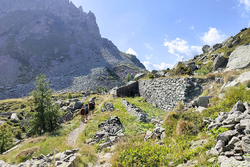
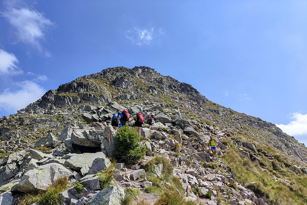
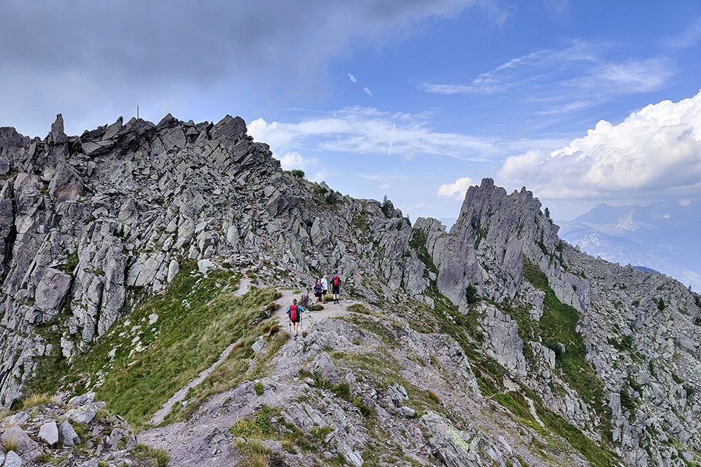
Traces of barracks, trenches and walkways survive along the itinerary, silent testimonies of those days of war. We chose to walk the Via Italiana uphill and the Via Austriaca downhill, following in the footsteps of those historic times.
In the Baita Monte Cauriol Refuge, in addition to rest and refreshment, you can visit a small museum with numerous artifacts related to the war period, to better understand the history of this place.
ITINERARY
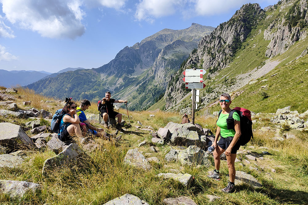
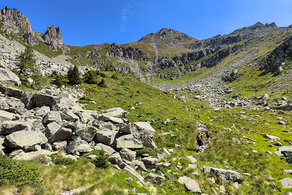
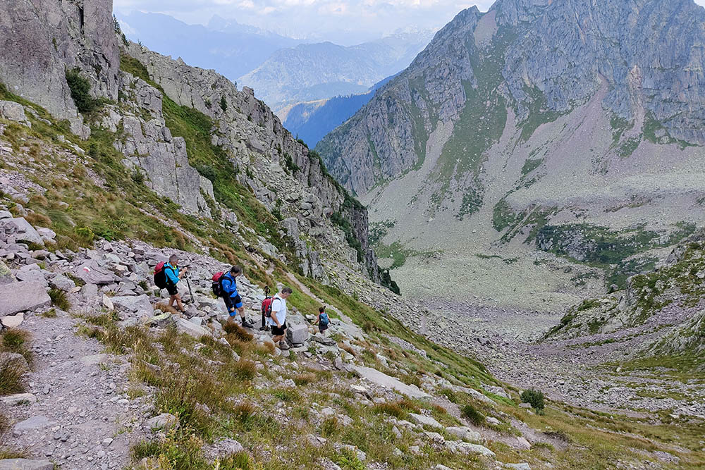
From the car park (1500 m) you can easily reach the Rifugio Baita Monte Cauriol (1600 m). Continue on the mule track - trail sign 320 - and passing through Pian delle Maddalene you arrive at Baito del Marino (1816 m). Continue along the 320, now a path, arriving at Pian de Maseron (2024 m). Taking the Via Italiana, the circular tour begins. Go up to Passo Sadole (2058 m) and following path 302 you arrive at Selletta Carteri (2342 m). Climb to the summit of Monte Cauriol (2493 m) and then return to the saddle. Now take the Via Austriaca and return to Pian de Maseron. Return by the same route as you came.
EXCURSION DATE
August 26, 2023
STARTING POINT
Car park of the Rifugio Baita Monte Cauriol
REFRESHMENT POINT
Rifugio Baita Monte Cauriol
AUTHOR’S SUGGESTIONS
Go up from the Via Italiana.
SAFETY TIPS
The viability of the proposed itinerary, like all mountain morphology, is subject to environmental changes due to natural events and weather conditions. Therefore, before leaving, consult the competent tourist offices and / or the refuges of reference.
Our GPX tracks are only indicative, that is, the route was carried out at best with the conditions of the trails and weather of that day. So always consider what to do on site.
Also remember to evaluate the route based on your physical abilities, training and the equipment you have.
You should leave someone the route you intend to do told.
Remember that the emergency number is 112.
EQUIPMENT
It is recommended to have the appropriate equipment for the route, weather conditions and season: windproof and / or rain jacket, map and / or GPS device, goggles, sunscreen, boots, first aid kit, specific clothing, gloves, backpack with food and drink.
RECOMMENDED MAPS
Tabacco 014 Val di Fiemme Lagorai - Latemar
INTERESTING LINKS
http://www.pietrigrandeguerra.it/nei-luoghi-della-grande-guerra/monte-cauriol-lagorai/
HOW TO ARRIVE
From Ziano di Fiemme, take the road to Val di Sadole and follow it to the last car park.
PARKING AREA
Free, 1km before the Rifugio Baita Monte Cauriol
GPS coordinates: 46.268358, 11.600795
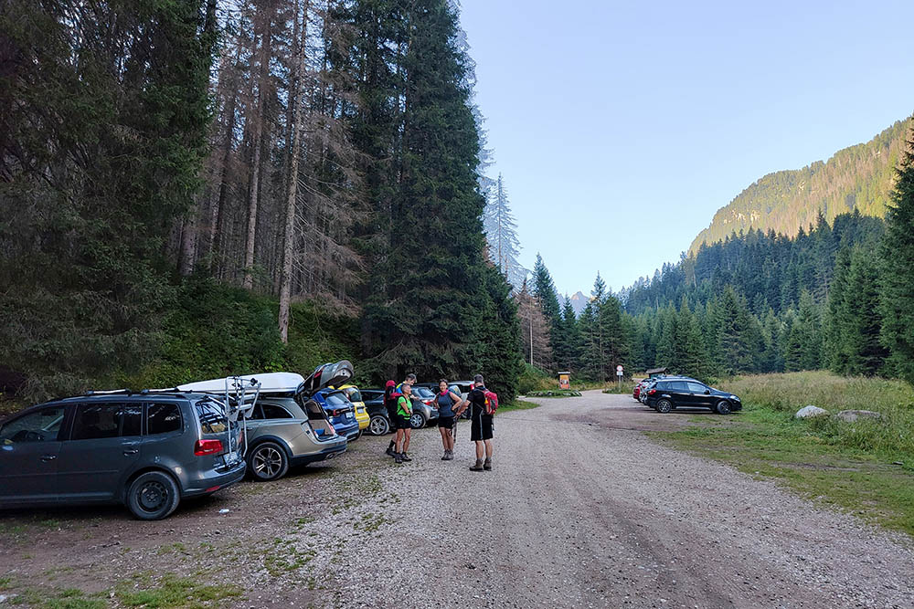
Parcheggio
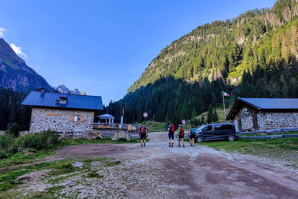
Siamo arrivati al Rifugio Baita Monte Cauriol
Si continua sulla mulattiera
Abbiamo superato il Baito del Marino
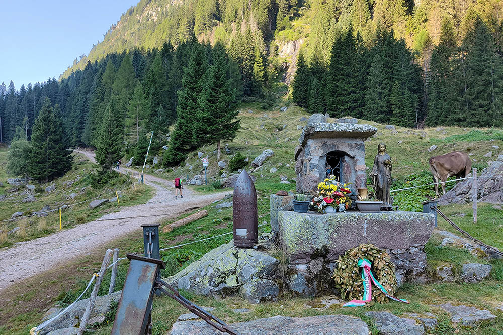
Iniziano i resti della Grande Guerra
Passo Sadole
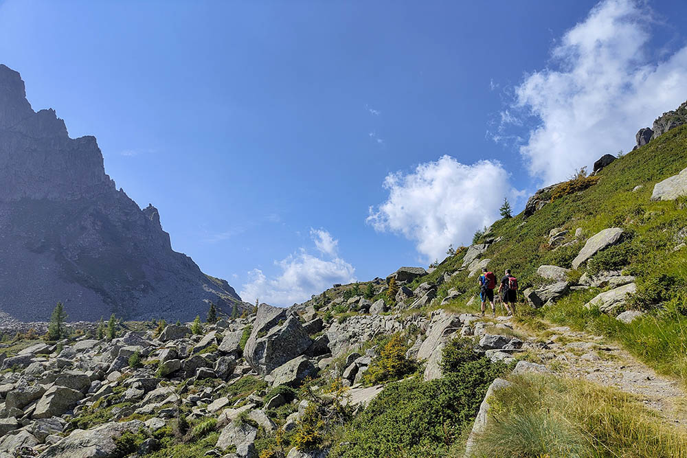
Si va verso la Selletta Carteri percorrendo la Via Italiana
Selletta Carteri
Manca poco alla vetta
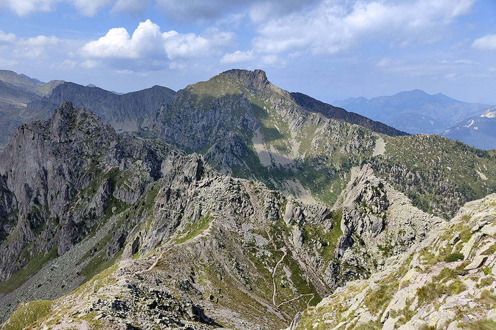
Si vede la strada che abbiamo fatto
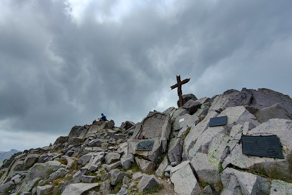
Cima Cauriol
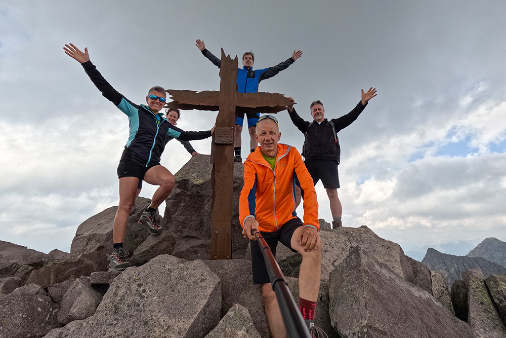
Cima Cauriol
Ritornati alla Selletta Carteri
Sulla Via Austriaca
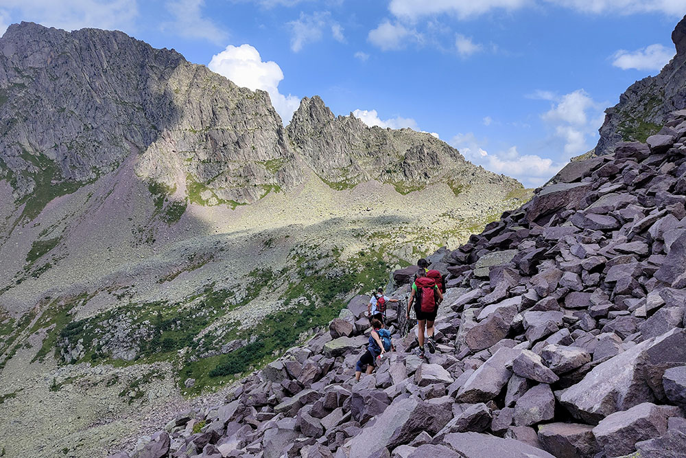
Tratto con pietre


