


![]()


Durata
 0:20 h
Distanza
 9 km
9 km Ascesa
 0 m
0 mDiscesa
 1060 m
H Max
 1496 m
H Min
 436 m
436 mParagliding in Levico Terme
DESCRIPTION
Electrifying descent in tandem paragliding from Vetriolo Terme and Levico Terme.
We are thrilled to present you an unforgettable paragliding excursion in the splendid area of Levico Terme, in the enchanting Trentino.
This adventure is characterized by three keywords: fun, adrenaline and relaxation.
Fun is guaranteed as the emotion you feel will bring with it a healthy euphoria, creating an unforgettable experience. The moment you take off from the ground will be filled with excitement, whether you are flying for the first time or have already experienced paragliding. In that instant, you will feel an electric shock run through your body, giving you an adrenaline rush that will make you feel alive and vibrant.
But don't worry, after the initial hormonal hit, the experience will become a moment of pure relaxation. You will find yourself floating in the air, suspended in a state of total relaxation. It will be as if you were lying on the sofa at home, but with the extraordinary panoramic view that only paragliding can offer you.
In summary, this paragliding adventure in Levico Terme will give you a perfect combination of fun, adrenaline and relaxation. It will be an unforgettable experience that will make you feel alive and free as you immerse yourself in the beauty of the Trentino landscapes.
ITINERARY
Take off from the meadow in front of the local Nif: alpine taste (1496 m), in Località Vetriolo. You fly over the Busa Grande Fort, the two beautiful lakes of Levico and Caldonazzo, the town of Levico Terme and land in a meadow near the Bicigrill Levico - Big Fish (436 m). Flight duration about 20 min.
EXCURSION DATE
June 18, 2023
STARTING POINT
Nif: alpine taste, in Località Vetriolo
REFRESHMENT POINT
Nif: alpine taste and Bicigrill Levico - Big Fish
AUTHOR’S SUGGESTIONS
Put on mountain clothing with boots and carefully follow the instructions given by the pilots.
SAFETY TIPS
The viability of the proposed itinerary, like all mountain morphology, is subject to environmental changes due to natural events and weather conditions. Therefore, before leaving, consult the competent tourist offices and / or the refuges of reference.
Our GPX tracks are only indicative, that is, the route was carried out at best with the conditions of the trails and weather of that day. So always consider what to do on site.
Also remember to evaluate the route based on your physical abilities, training and the equipment you have.
You should leave someone the route you intend to do told.
Remember that the emergency number is 112.
EQUIPMENT
It is recommended to have the appropriate equipment for the route, weather conditions and season: windproof and / or rain jacket, map and / or GPS device, goggles, sunscreen, boots, first aid kit, specific clothing, gloves, backpack with food and drink.
RECOMMENDED MAPS
Tabacco 062 Altopiano di Pinè – Valli di Cembra e dei Mocheni
INTERESTING LINKS
http://www.flytandemvalsugana.com/
HOW TO ARRIVE
From Trento take the Valsugana state road 47 to Levico Terme centre. Tevico T. Centro exit. Then turn left towards S. Giuliana and shortly after left again towards Bicigrill.
PARKING AREA
At the Levico - Big Fich Bicigrill
GPS coordinates: 46.001585, 11.309389
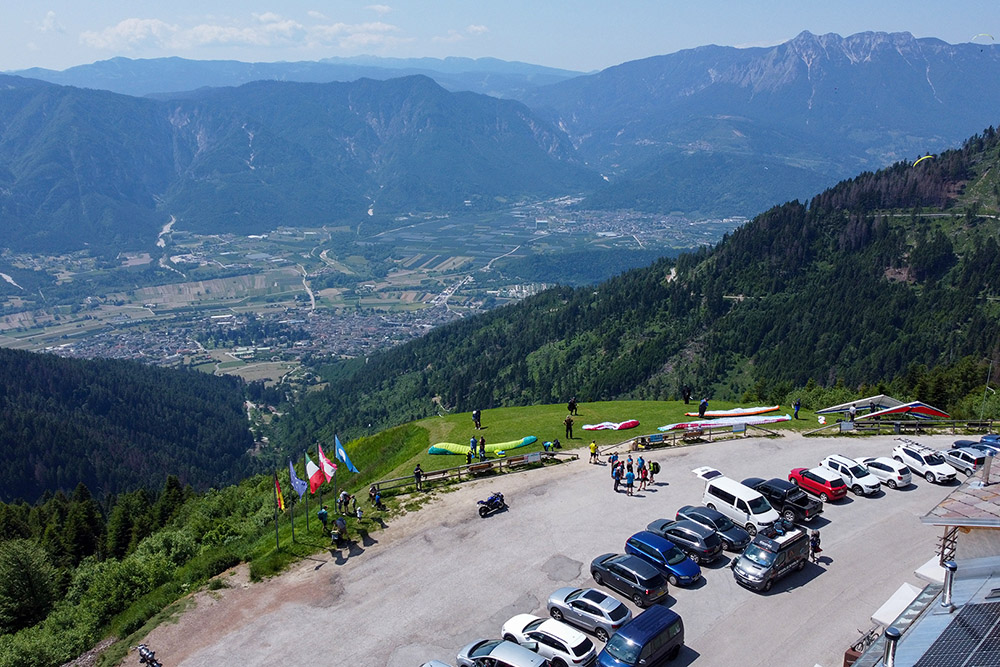
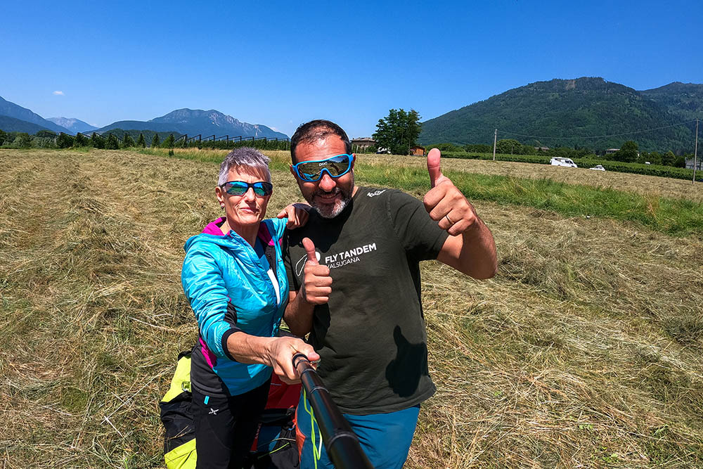
Punto di decollo a Vetriolo Terme
Punto di decollo a Vetriolo Terme
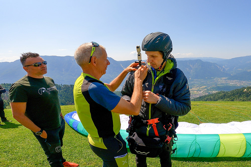
Si installano le action cam
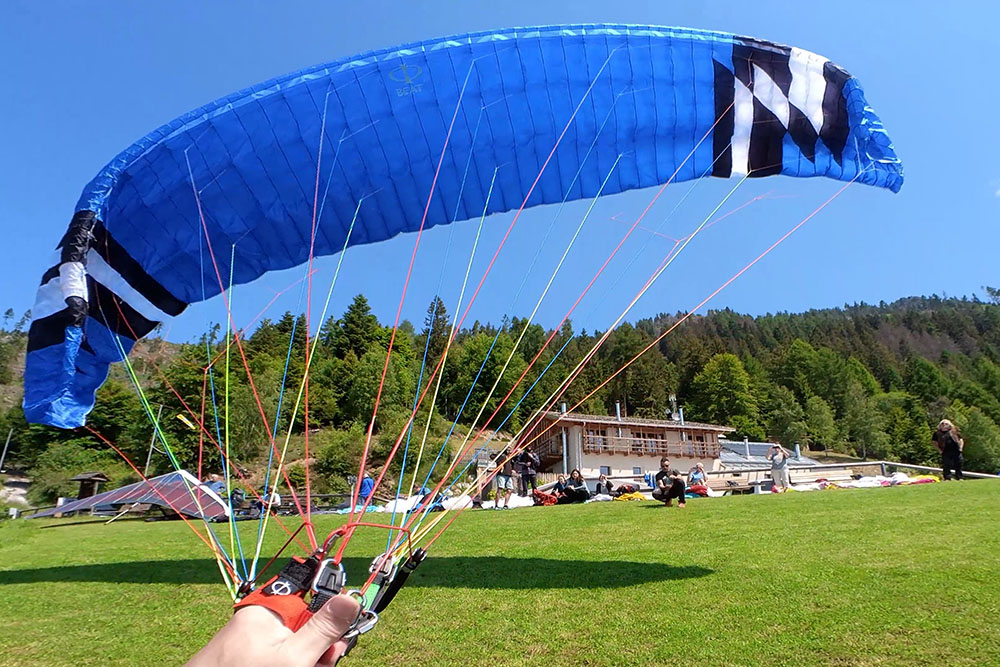
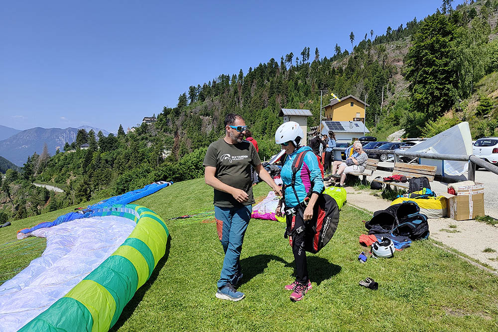
Si gonfiano le vele
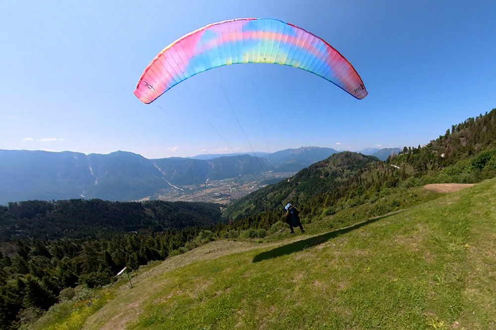
Decollo di Sandra
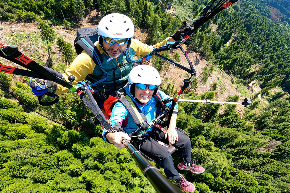
Si volteggia sopra i boschi
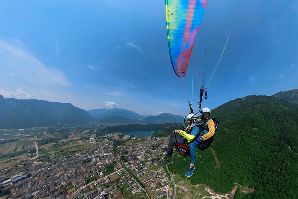
Siamo sopra Levico Terme
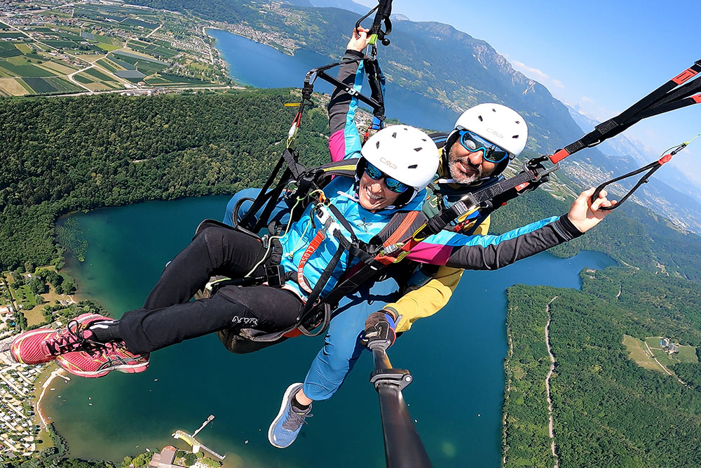
Sullo sfondo i laghi di Levico e Caldonazzo
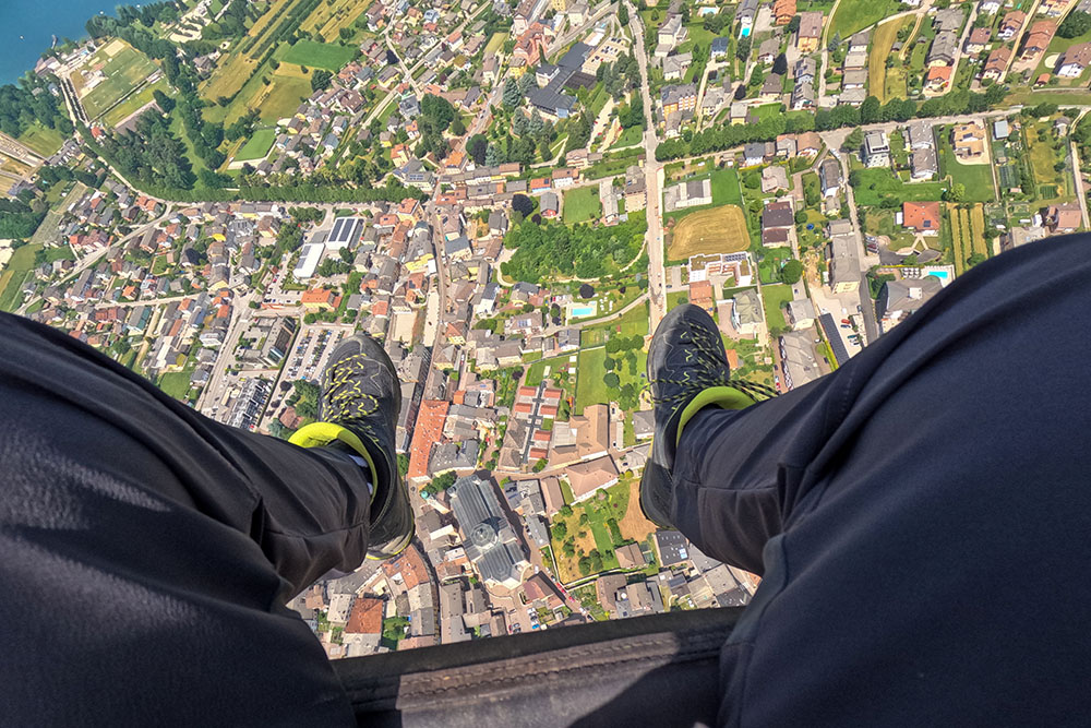
Vista su Levico Terme
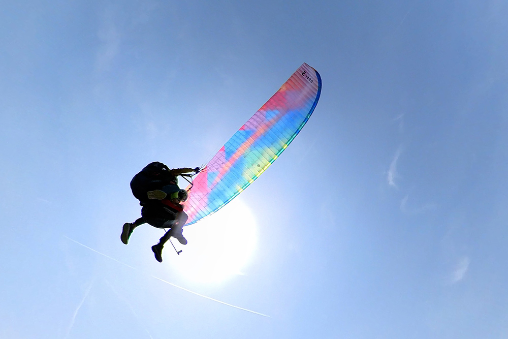
Vista del parapendio
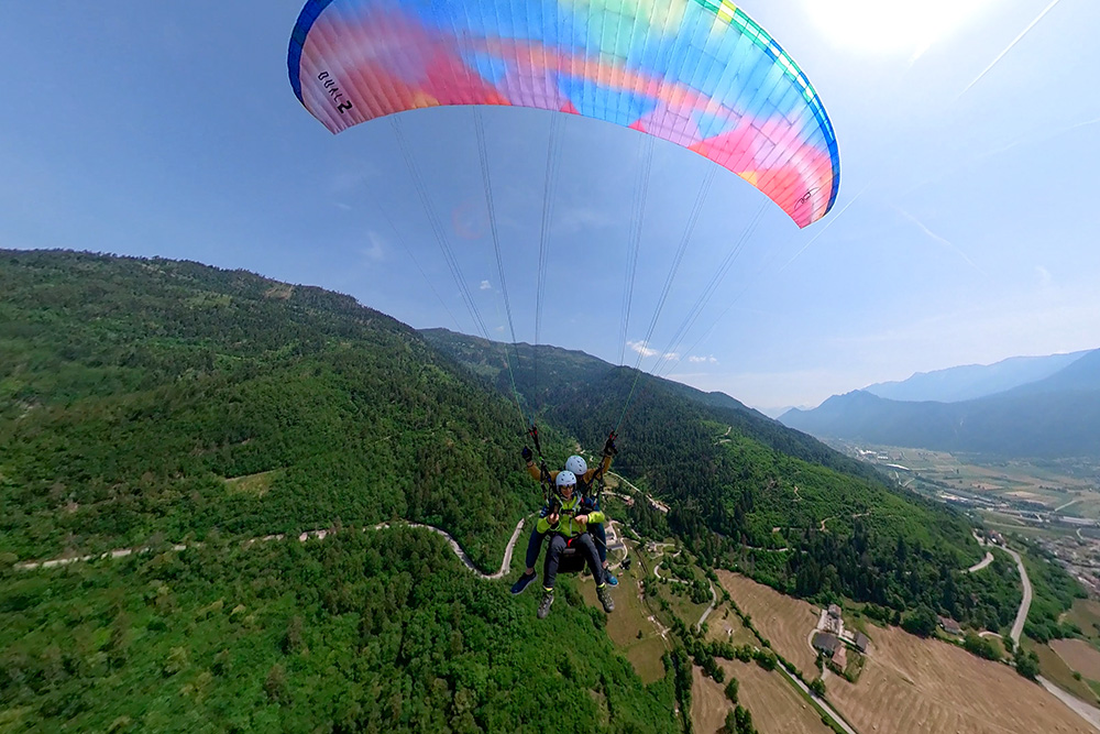
Momenti di volo
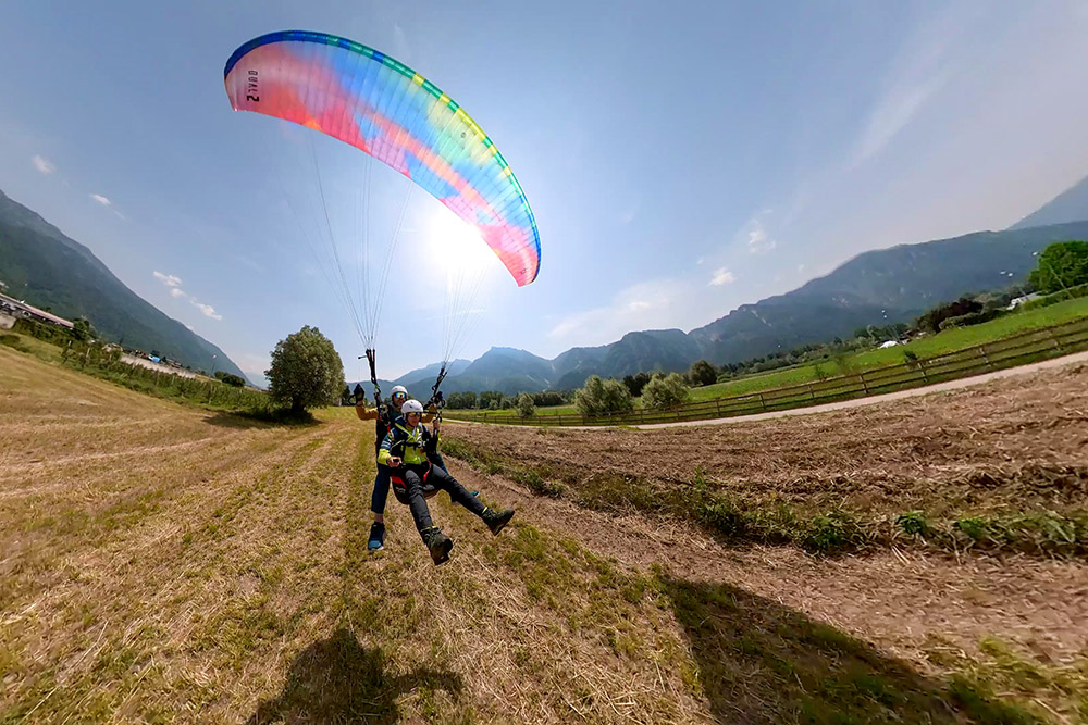
Atterraggio di Stefano
È andato tutto bene
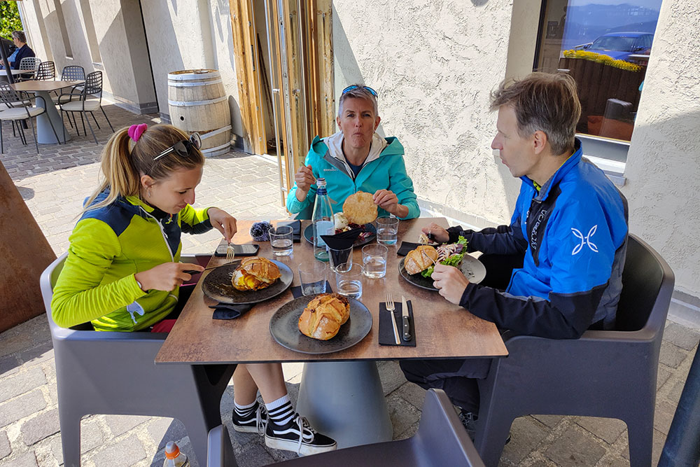
Ristoro al locale Nif: alpine taste
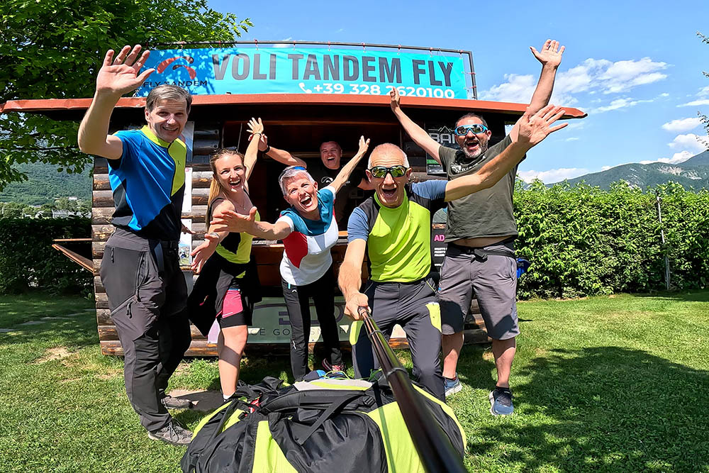
Saluti dal Bicigrill Levico - Big Fish


