


![]()


Durata
 6:00 h
Distanza
 12 km
12 km Ascesa
 1206 m
Discesa
 1206 m
H Max
 2396 m
H Min
 1500 m
Ring tour to Cima Sasso Rotto
DESCRIPTION
Loop excursion in the wild Lagorai Group.
With this itinerary we want to offer you a fantastic excursion on the Lagorai mountain group. An unmissable experience for all those who love the mountains and want to experience a unique and unforgettable adventure.
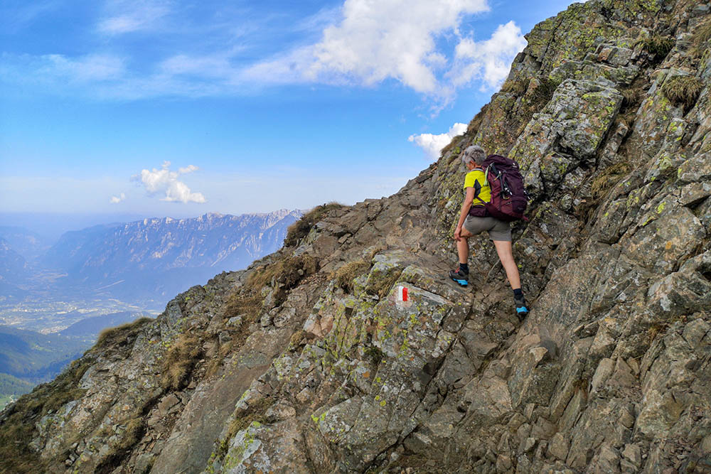
The route is not for the faint of heart, but if you're up for a challenge, you won't regret it. The length, the difference in altitude and the ascent to the peaks of Sette Selle and Sasso Rotto require a bit of climbing technique, but for those who want to make the tour easier and more comfortable, just don't go up to the peaks and take the path that bypasses them .
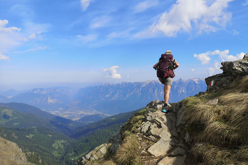
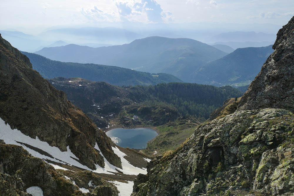
But what will make this excursion unforgettable, in addition to the adrenaline, will also be the beauty of the landscape. The itinerary winds through a wild mountain context that is not very frequented by the masses of hikers. You can admire spectacular views and breathe the fresh mountain air, immersed in unspoilt nature.
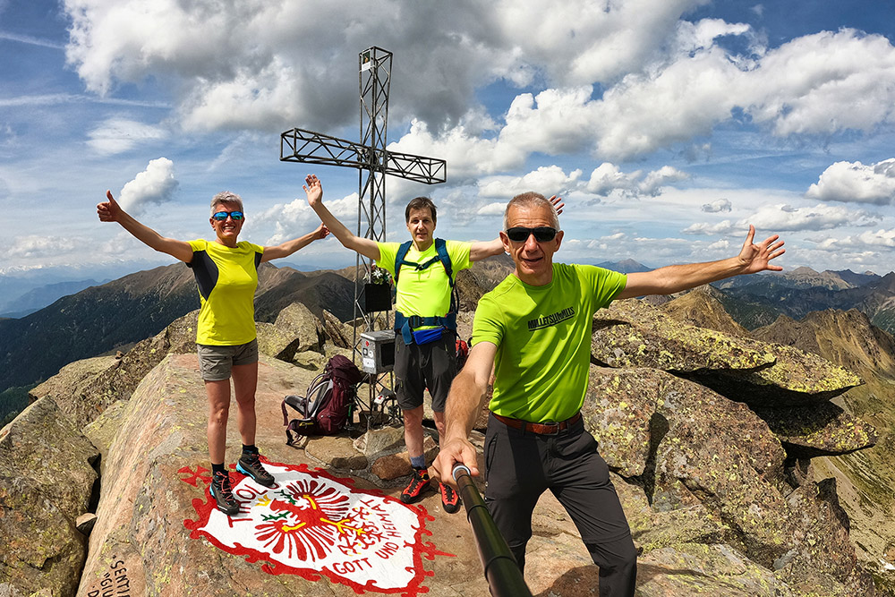
And then there's the challenge. Facing such a demanding journey will give you a feeling of satisfaction and accomplishment that is priceless. You will be proud of yourself for pushing your limits and making it to the top.
ITINERARY
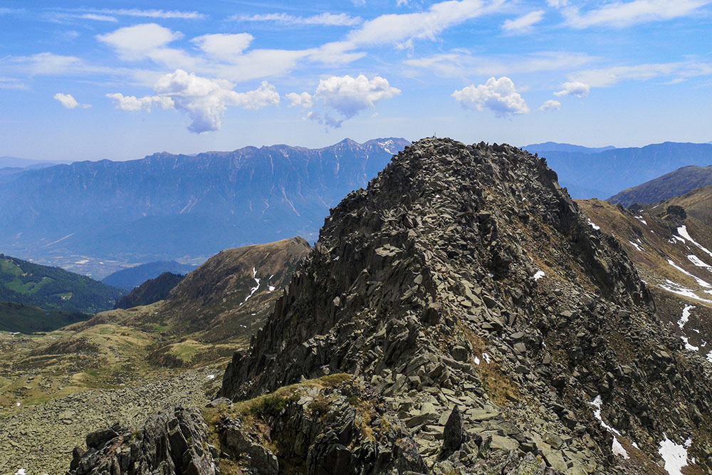
From the Frotten car park (1500 m) go up path no. 343 and passing by the Baite del Laner (1748 m) and the Croce del Laner (1840 m) you arrive at the Rifugio Sette Selle (2014 m). Continuing on the same path, you climb up to the Cima di Sette Selle (2396 m) and the Cima Sasso Rotto (2396 m). Now descend on a steep path (not on the Giuliani path) and go to the Forcella delle Conelle (2198 m). You climb a bit and you arrive at Cima Terra Bianca (2298 m). Descend through the meadows, take path no. 343 and passing through the Forcella Cavè (2184 m) you reach the Passo del Lago (2218 m). Descend along the 325 and arrive at Lake Erdemolo (2014 m). Now you reach the starting point always following trail 325.
EXCURSION DATE
May 21, 2022
STARTING POINT
Frotten parking
REFRESHMENT POINT
Nobody
AUTHOR’S SUGGESTIONS
The ascent to the peaks of Sette Selle and Sasso Rotto is recommended for experienced hikers.
SAFETY TIPS
The viability of the proposed itinerary, like all mountain morphology, is subject to environmental changes due to natural events and weather conditions. Therefore, before leaving, consult the competent tourist offices and / or the refuges of reference.
Our GPX tracks are only indicative, that is, the route was carried out at best with the conditions of the trails and weather of that day. So always consider what to do on site.
Also remember to evaluate the route based on your physical abilities, training and the equipment you have.
You should leave someone the route you intend to do told.
Remember that the emergency number is 112.
EQUIPMENT
It is recommended to have the appropriate equipment for the route, weather conditions and season: windproof and / or rain jacket, map and / or GPS device, goggles, sunscreen, boots, first aid kit, specific clothing, gloves, backpack with food and drink.
RECOMMENDED MAPS
Tabacco 062 Altopiano di Pinè - Valli di Cembra e dei Mocheni
INTERESTING LINKS
https://www.visitvalsugana.it/
HOW TO ARRIVE
From Pergine Valsugana SP8. Go up the Valle dei Mocheni up to Palù del Fersina. Here, follow the signs for Vrottn until you reach the Frotten car park - about 2 km.
PARKING AREA
Frotten paid parking
GPS coordinates: 46.129963, 11.369065
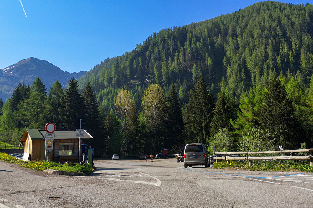
Parcheggio Frotten
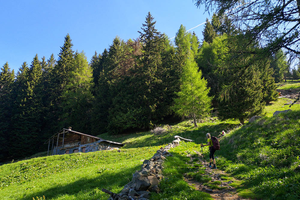
Località Baite del Laner
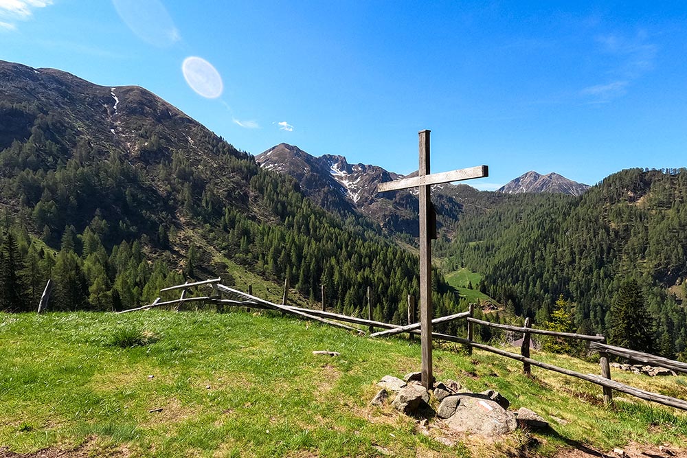
Croce del Laner
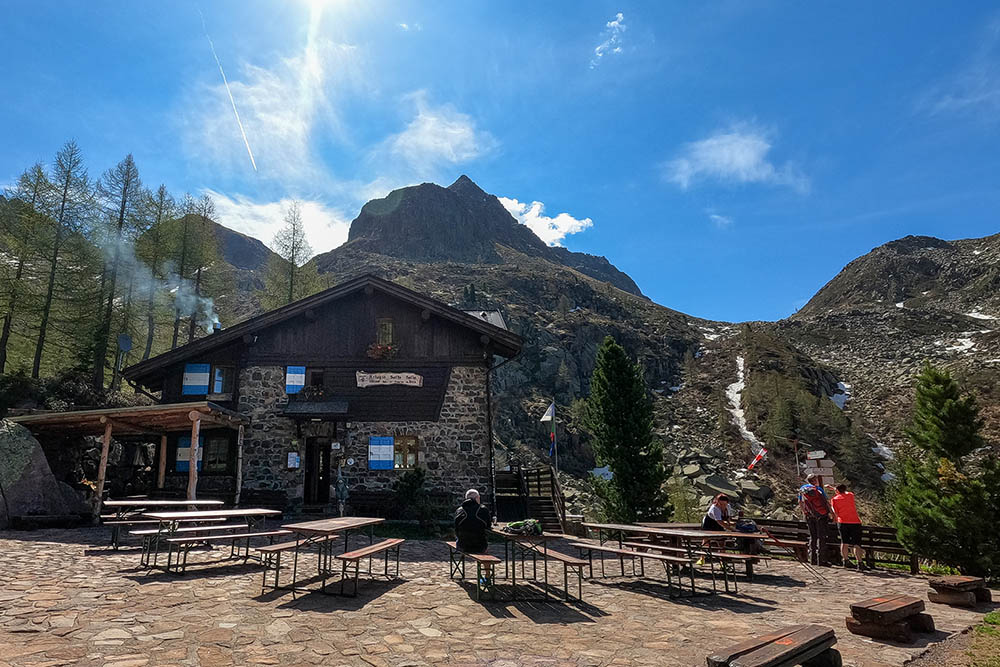
Rifugio Sette Selle
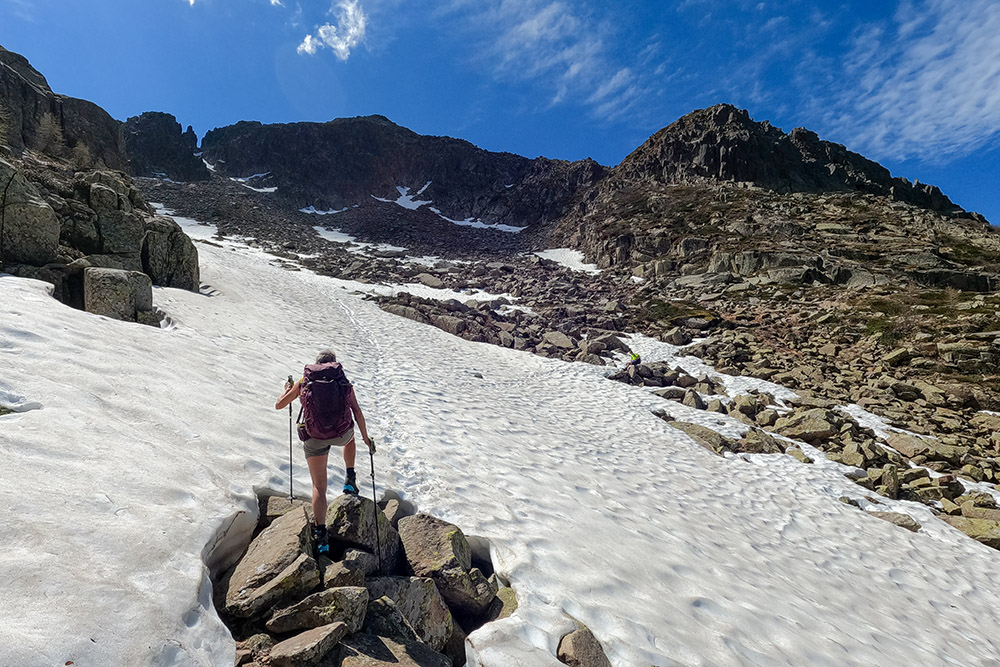
Salendo si incontra ancora della neve
Cima di Sette Selle
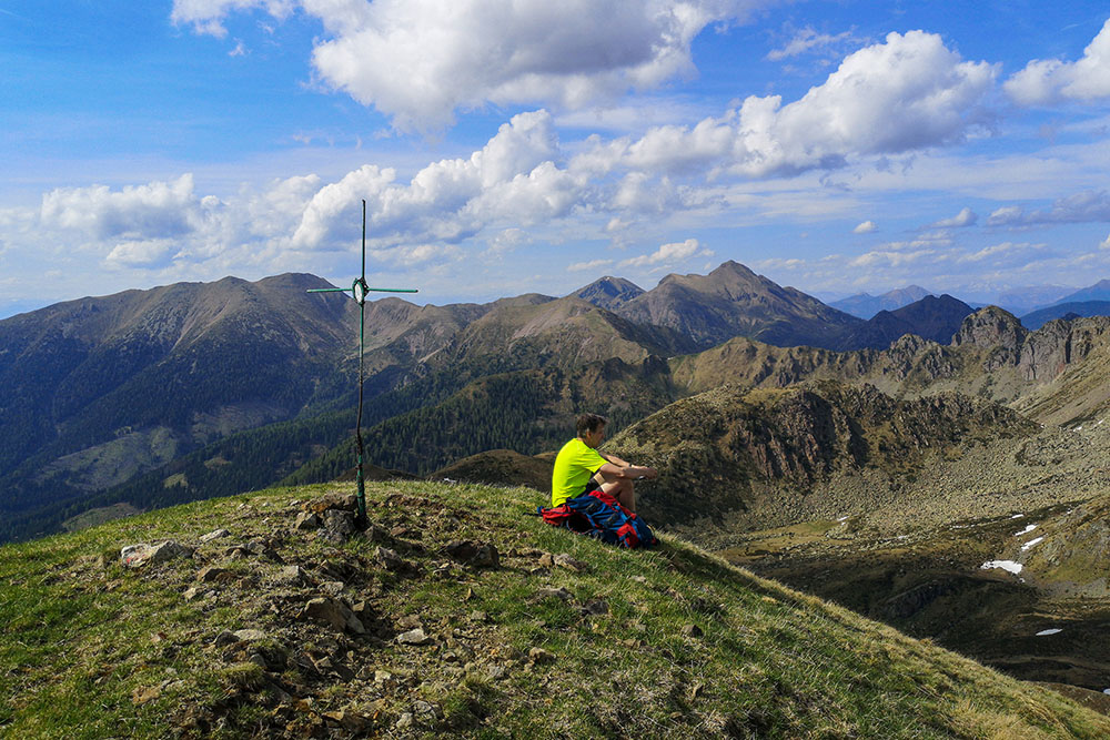
Cima Sasso Rotto
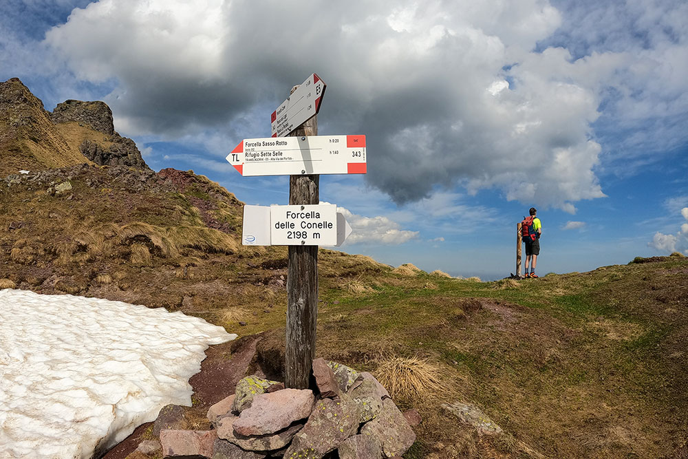
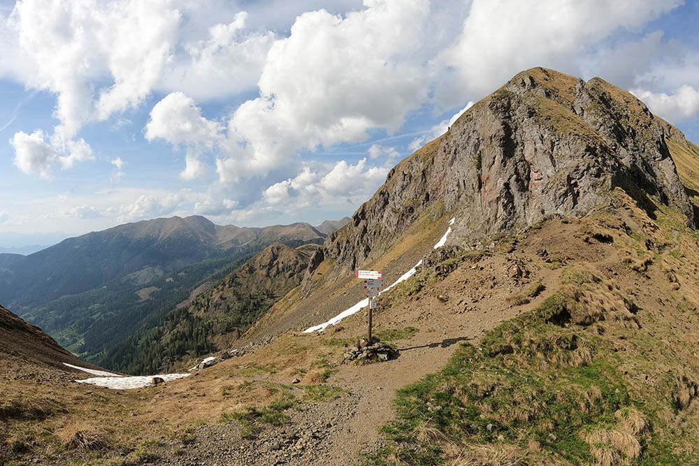
Forcella della Coronelle
Cima Terra Bianca
Forcella Cavè
Si va verso Passo del Lago
Si va verso Passo del Lago
Si inizia a vedere il Lago di Erdemolo
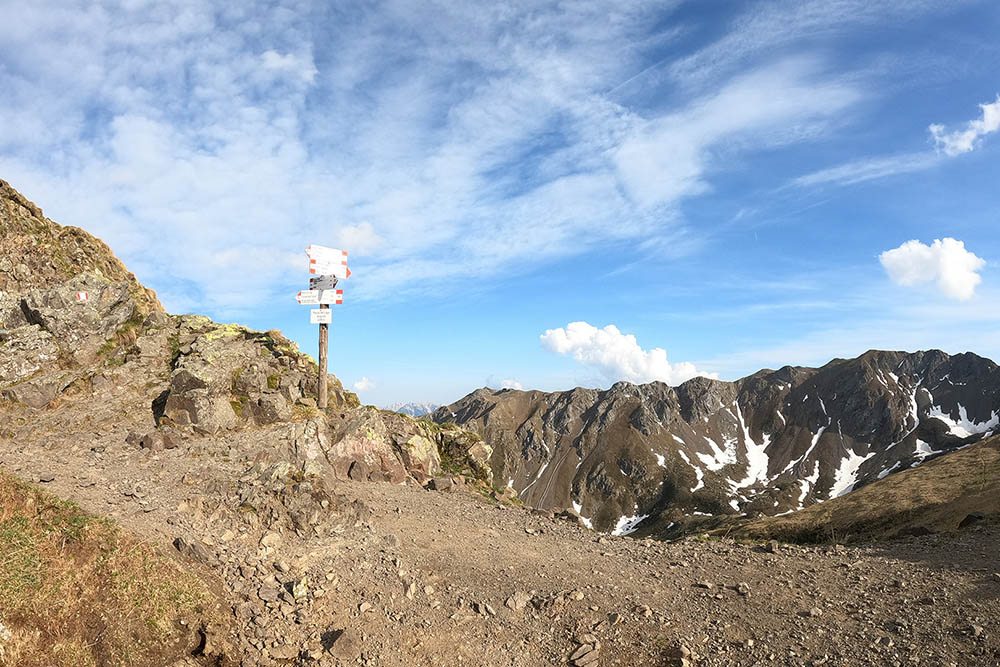
Passo del Lago
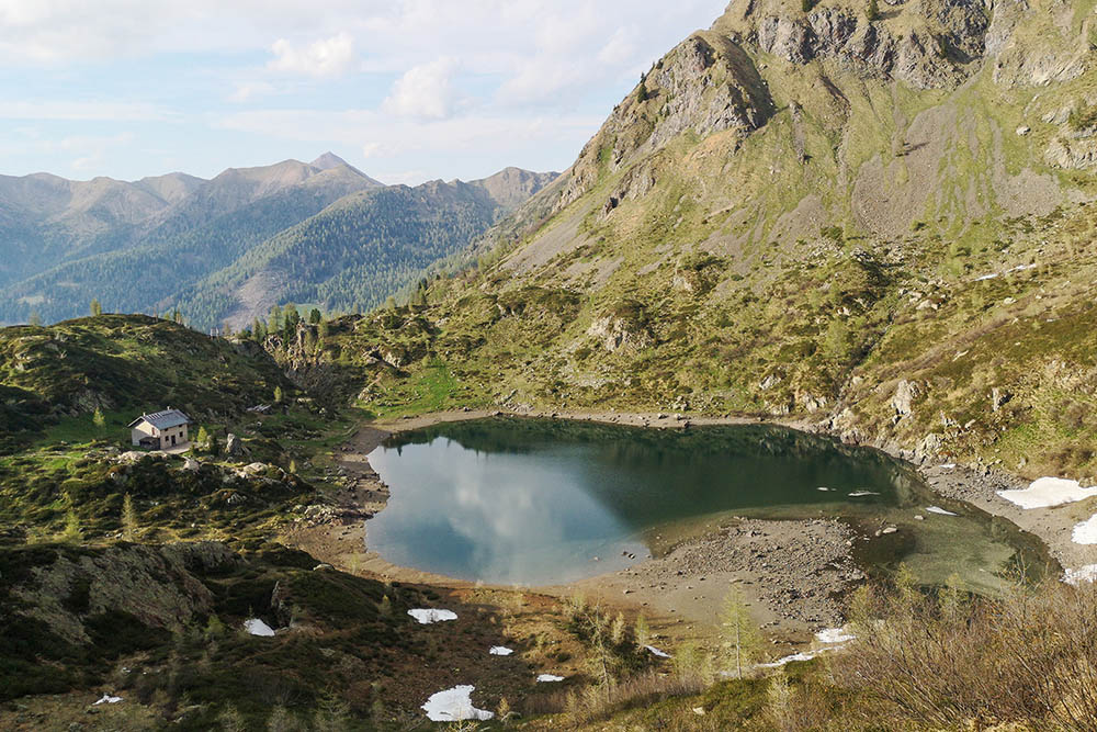
Lago di Erdemolo


