


![]()


Durata
 4:13 h
Distanza
 9 km
9 km Ascesa
 413 m
413 mDiscesa
 413 m
413 mH Max
 615 m
615 mH Min
 347 m
347 mCaldaro Peace Trail
DESCRIPTION
Walk above Lake Caldaro between nature and meditation.
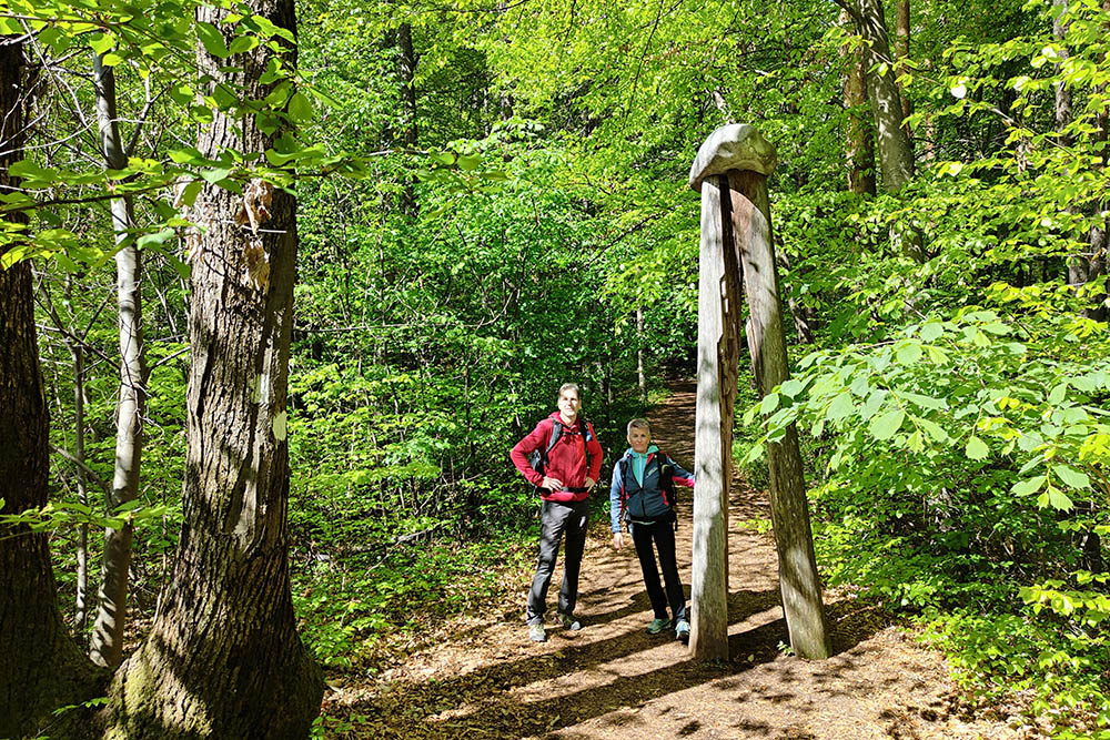
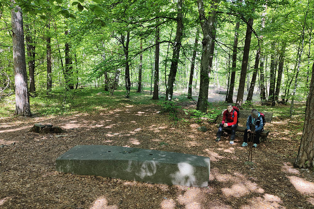
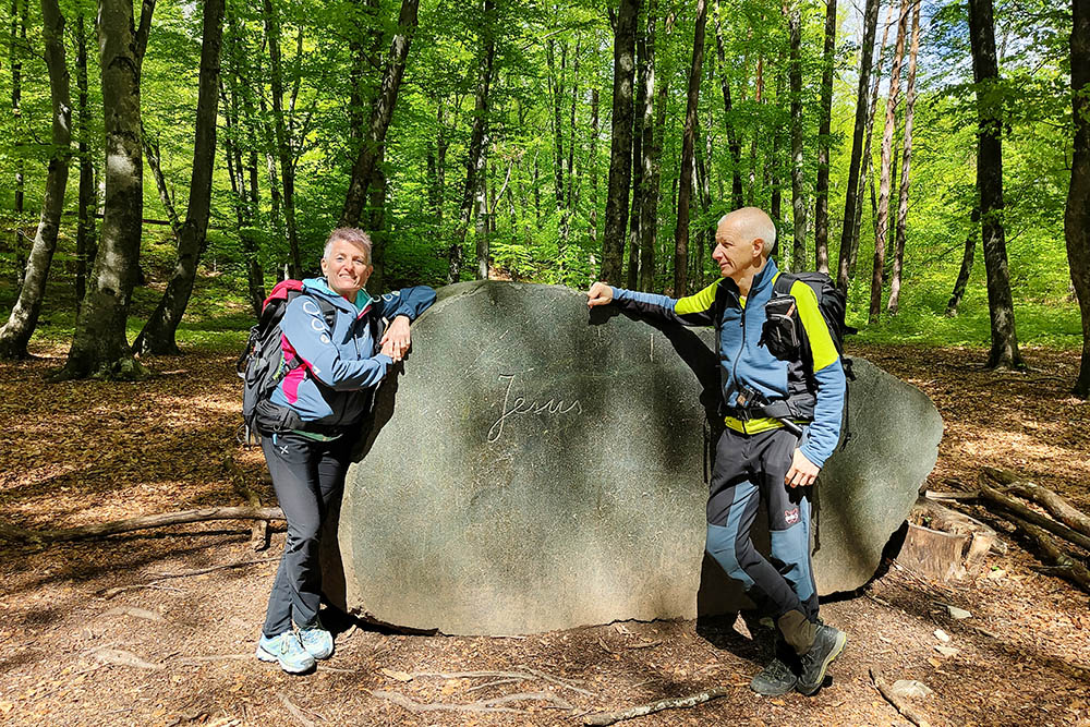
The Caldaro Path of Peace winds its way through the Kardatsch valley and the Rastenbach gorge to the ancient church of S. Pietro and the village of Castelveccio. Eight meditation stations have been positioned along the route, inviting hikers and pilgrims to stop and reflect on their own existence and on the fundamental values of Christianity.
Moderation, Wisdom, Justice, Faith and Hope are the points with artistic works, while Courage is represented by the Rastenbach gorge, Love by the ruins of the ancient early Christian church of San Pietro and Peace by the Peace Bridge leading to Castelvecchio.
The ring itinerary does not present particular difficulties, however it is advisable to wear medium-mountain clothing with boots.
Link to download the Path of Peace brochure: https://www.kaltern.com/media/friedensweg/Sentiero-della-Peace-Caldaro.pdf
ITINERARY
From S. Antonio (556 m) follow the signs for the Path of Peace and head towards the soccer field and the Kneipp area. Always following the indication Path of Peace, the first 5 points of meditation will be passed: Moderation, Wisdom, Justice, Faith, Hope. Now go down into the Rastenbach Gorge - Courage - for a stretch and then at a crossroads (525 m) go up to the right towards the church of S. Pietro. Arrived at the church (585 m), the seventh point dedicated to Love, we retrace our steps for a while and cross the bridge, the eighth point - Ponte della Pace - arriving at the village of Castelvecchio where we will find a beautiful panoramic point and the church of S. Vigilio (615 m). Now you go back to the crossroads and continue down the Rastenbach Gorge. At the end of the descent (347 m) take path no. 10 and returns to S. Antonio.
EXCURSION DATE
April 25, 2023
STARTING POINT
S. Antonio Sports Center (Caldaro)
REFRESHMENT POINT
In the village of Castelvecchio
AUTHOR’S SUGGESTIONS
It is recommended to go around in an anti-clockwise direction.
SAFETY TIPS
The viability of the proposed itinerary, like all mountain morphology, is subject to environmental changes due to natural events and weather conditions. Therefore, before leaving, consult the competent tourist offices and / or the refuges of reference.
Our GPX tracks are only indicative, that is, the route was carried out at best with the conditions of the trails and weather of that day. So always consider what to do on site.
Also remember to evaluate the route based on your physical abilities, training and the equipment you have.
You should leave someone the route you intend to do told.
Remember that the emergency number is 112.
EQUIPMENT
It is recommended to have the appropriate equipment for the route, weather conditions and season: windproof and / or rain jacket, map and / or GPS device, goggles, sunscreen, boots, first aid kit, specific clothing, gloves, backpack with food and drink.
RECOMMENDED MAPS
Tabacco 049 Strada del Vino / Südtiroler Weinstrasse
INTERESTING LINKS
https://www.kaltern.com/it/sentiero-della-pace.html
HOW TO ARRIVE
A22 Egna-Ora exit. Follow the Caldaro direction: Sp 16, Sp14. Once in Caldaro, at the first roundabout, follow the signs for S. Antonio, SP15.
PARKING AREA
At the S. Antonio Sports Center (Caldaro)
GPS coordinates: 46.397196, 11.235039
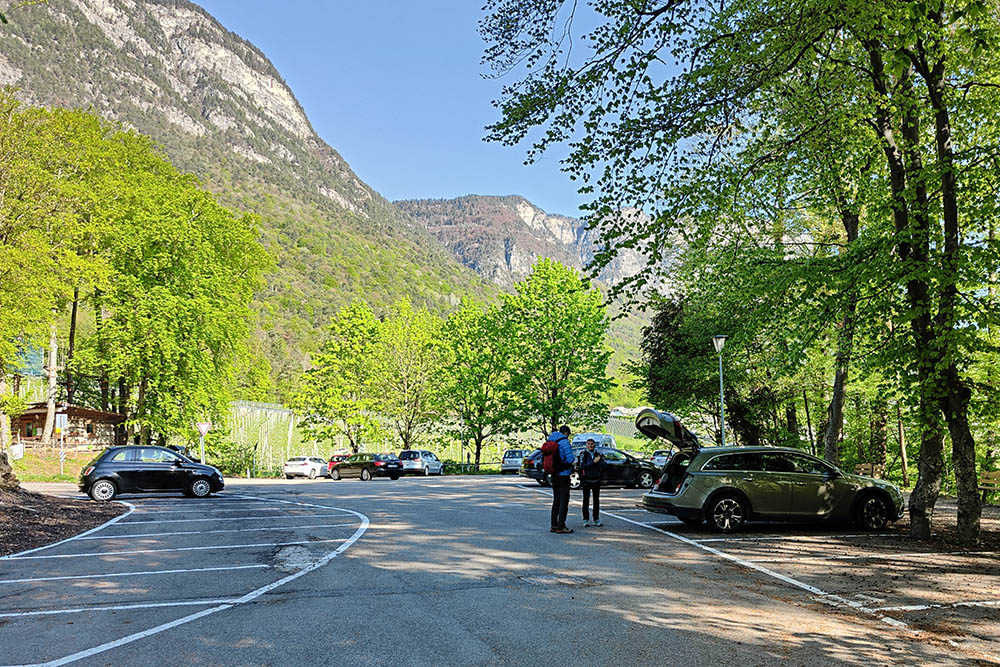
Parcheggio a S. Antonio
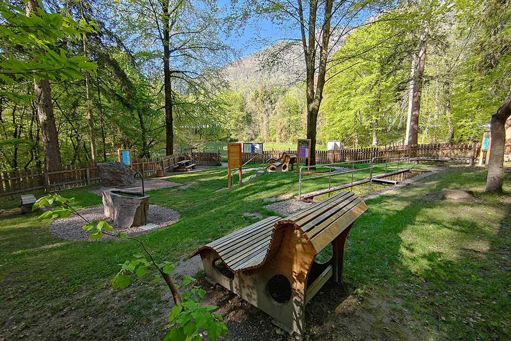
Punto Kneipp nel parco di S. Antonio
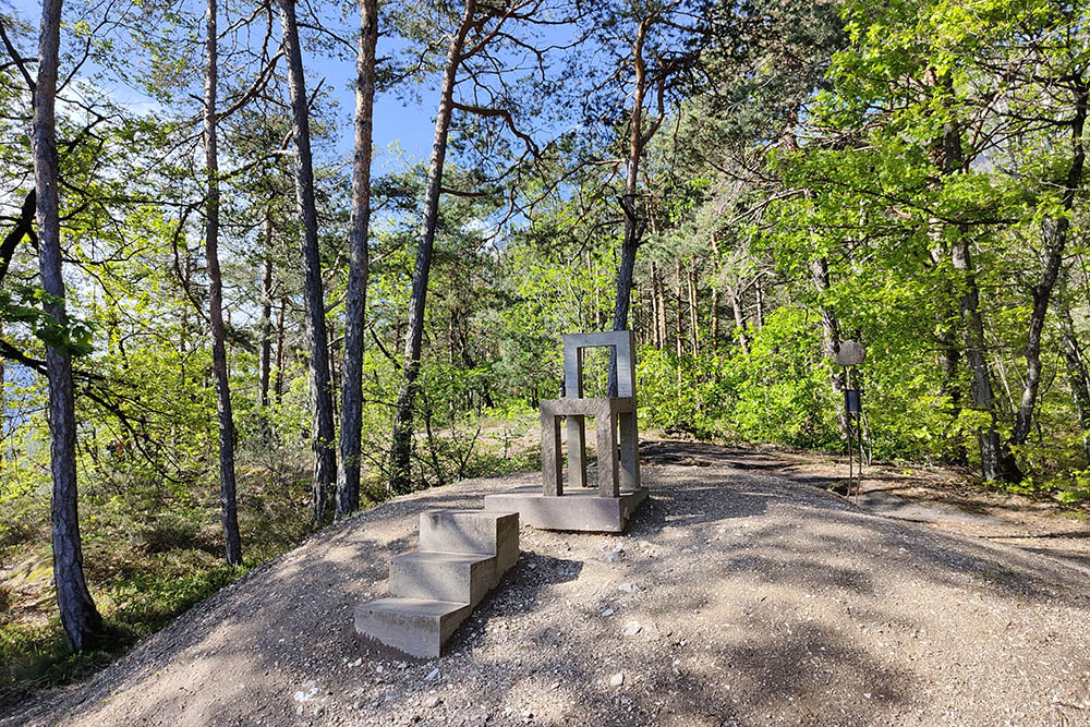
La Moderatezza
La Saggezza
La Giustizia
La Fede
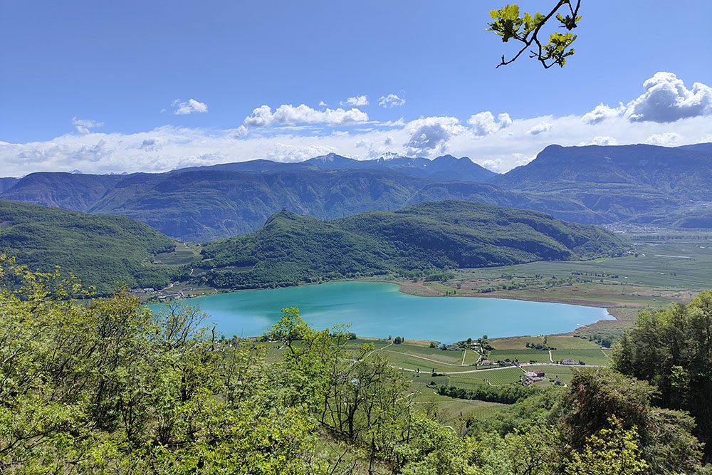
Punto panoramico sul Lago di Caldaro
La Speranza
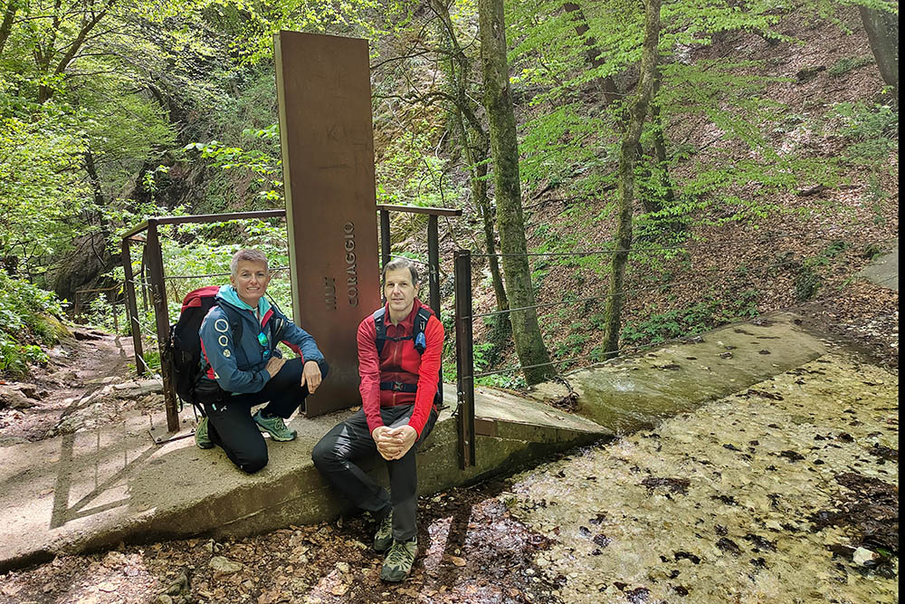
Il Coraggio - Gola Rastenbach
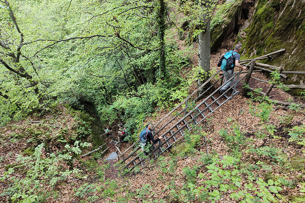
Si sale la gola verso la Chiesa di San Pietro
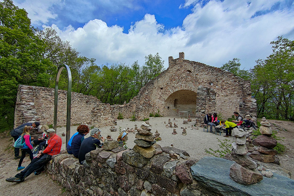
L'Amore - La Chiesa di San Pietro
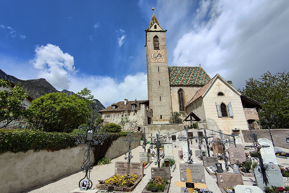
La Chiesa di San Vigilio a Castelvecchio
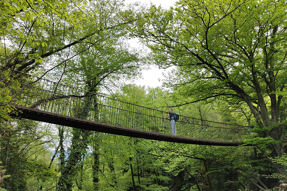
Il Ponte della Pace
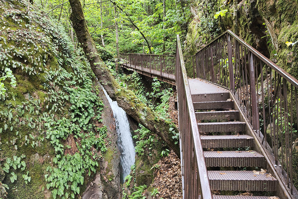
Si scende la Gola Rastenbach
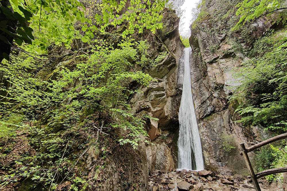
Una bella cascata nella gola


