


![]()


Durata
 4:20 h
Distanza
 8 km
8 km Ascesa
 920 m
920 mDiscesa
 920 m
920 mH Max
 3152 m
H Min
 2239 m
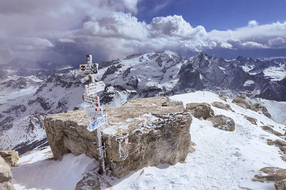
Piz Boè peak and Rifugio Capanna Piz Fassa
DESCRIPTION
Fantastic ascent in the snow to one of the most beautiful peaks in the Dolomites.
The excursion to the summit of Piz Boè in the snow, starting from Passo Pordoi, represents a great undertaking that requires commitment and an accurate assessment of the snow conditions and the avalanche danger. If the conditions are not ideal, we recommend skipping the first section of the climb and using the cable car to reach Sass Pordoi and Rifugio Maria (2950 m). This will greatly simplify the excursion both due to the height difference and the danger.
We are in one of the best-known places in the Dolomite Alps, namely the Pordoi Pass. This pass is located on the border between Trentino and Veneto, between the Sella Group and the Marmolada Group, and connects Canazei to Arabba. Piz Boè is the highest peak of the Sella Group and is located on the border of the provinces of Belluno, Bolzano and Trento. From its top, the panorama is simply fantastic, and will leave you breathless as you contemplate the beauty of the surrounding nature.
ITINERARY
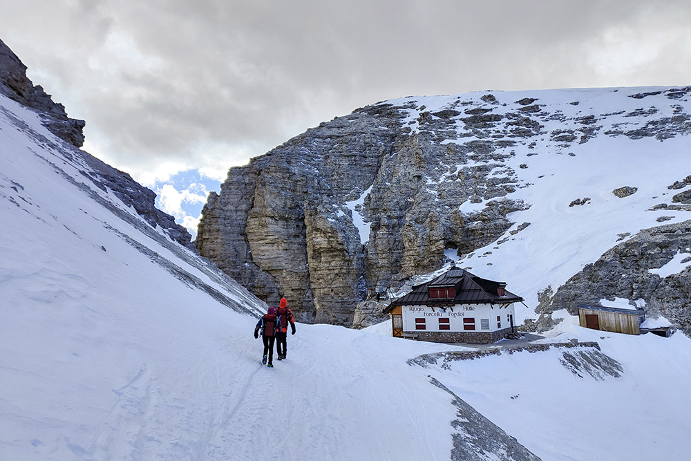
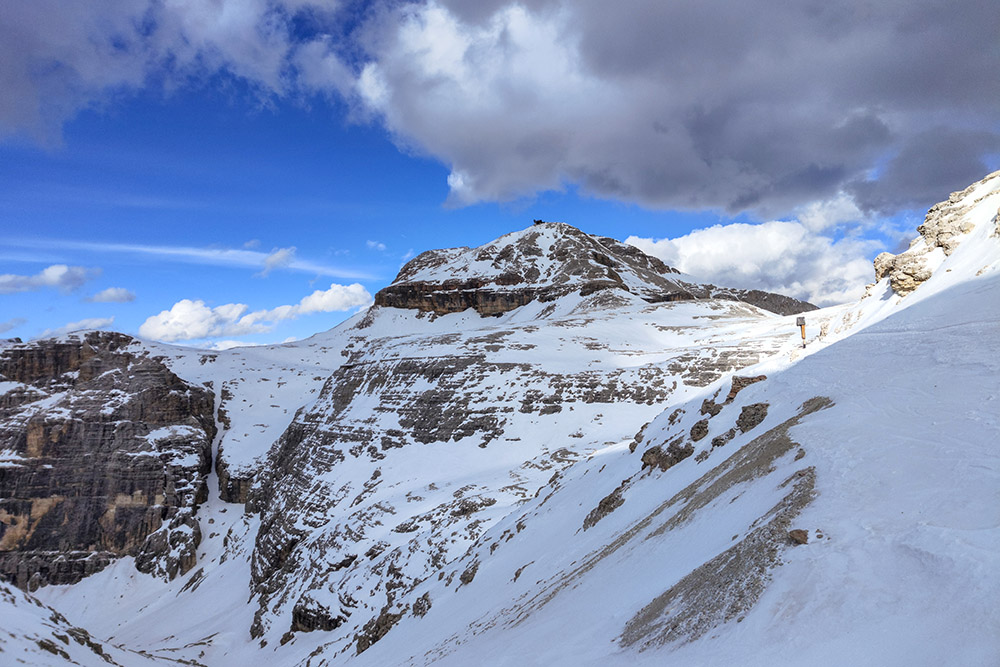
From Passo Pordoi (2239 m) follow trail sign 627. In the first section you walk on meadows, then after passing a hump, the steepest and narrowest section awaits us. Arrived at Forcella Pordoi (2848 m) continue on the level path on the same path for about ten minutes up to a crossroads. Here we take path 638 on the right which will take us to the top of Piz Boè and exactly to the Capanna Piz Fassa at an altitude of 3152 m. This path has short stretches of metal rope. We return by the same road.
EXCURSION DATE
March 25, 2023
STARTING POINT
Pordoi pass (2239 m)
REFRESHMENT POINT
Nobody
AUTHOR’S SUGGESTIONS
Bring both snowshoes and crampons/crampons with you.
In the snow, the GPX track does not correspond perfectly to the summer trails.
SAFETY TIPS
It is important to pay particular attention in the last stretch to reach Forcella Pordoi, as the slope is very steep and the risk of avalanches and/or slipping is high.
Snowpack stability is subject to sudden and unpredictable changes. For your safety, always consult the avalanche bulletin, because the snowpack is subject to rapid changes, ask the competent local offices for information. Our GPX tracks are indicative only, that is, the route was best done with the snow and weather conditions of that day. So always evaluate what to do on site. Also remember to evaluate the route based on your physical abilities, training and the equipment you have. It is appropriate to let someone know the itinerary you intend to take. Remember that the emergency number is 112.
EQUIPMENT
It is recommended to have the appropriate equipment: kit for self-rescue in avalanches (consisting of Artva, shovel and probe), snowshoes, sticks, crampons, glasses, sunscreen, hiking boots, winter clothing, gloves, cap, backpack hot drinks.
RECOMMENDED MAPS
Tabacco 07 - Alta Badia - Arabba - Marmolada
INTERESTING LINKS
https://www.rifugiocapannapizfassa.com/
HOW TO ARRIVE
A22 motorway, Egna/Ora exit. Follow the SS48 state road of the Dolomites up to Passo Pordoi.
PARKING AREA
At Passo Pordoi
GPS coordinates: 46.488158, 11.810313
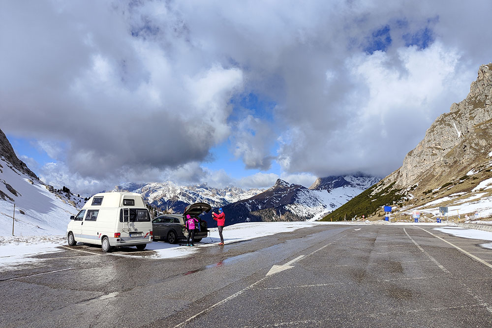
Parcheggio al Passo Pordoi
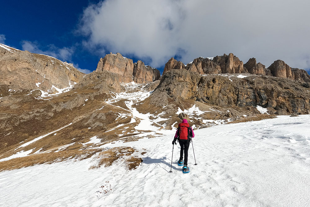
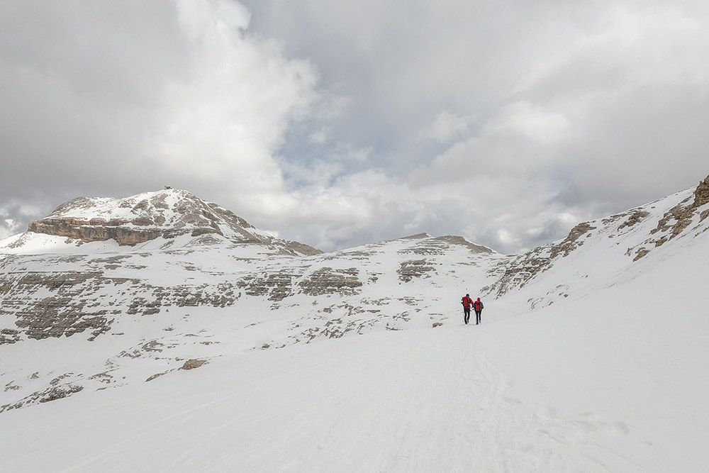
Primo tratto di salita
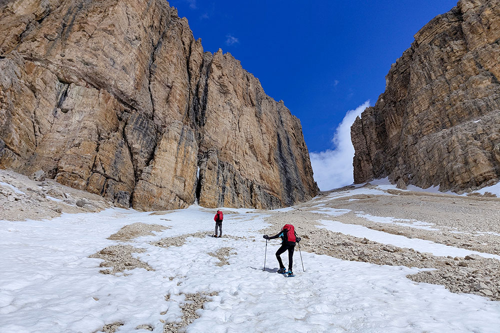
Siamo arrivati al tratto più ripido e faticoso
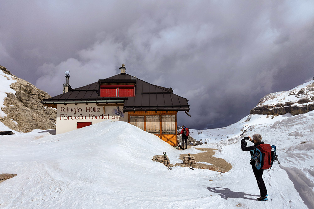
Rifugio Forcella Pordoi
Breve tratto pianeggiante
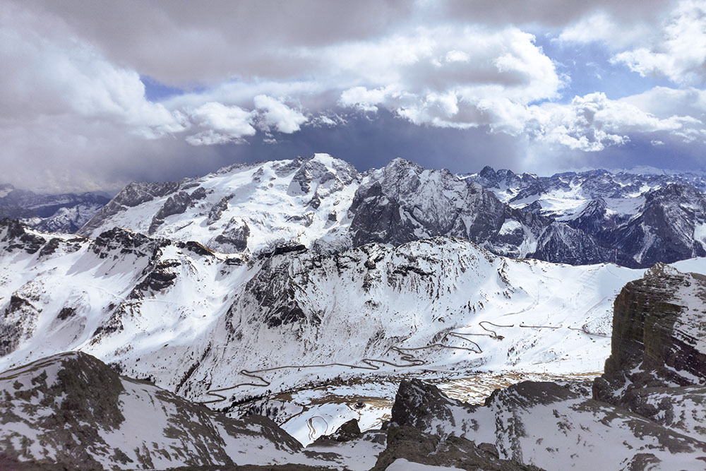
Vista sulla Marmolada
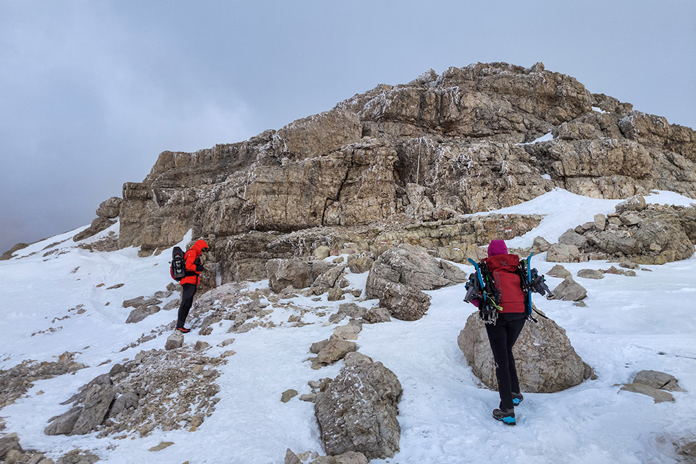
Breve tratto attrezzato
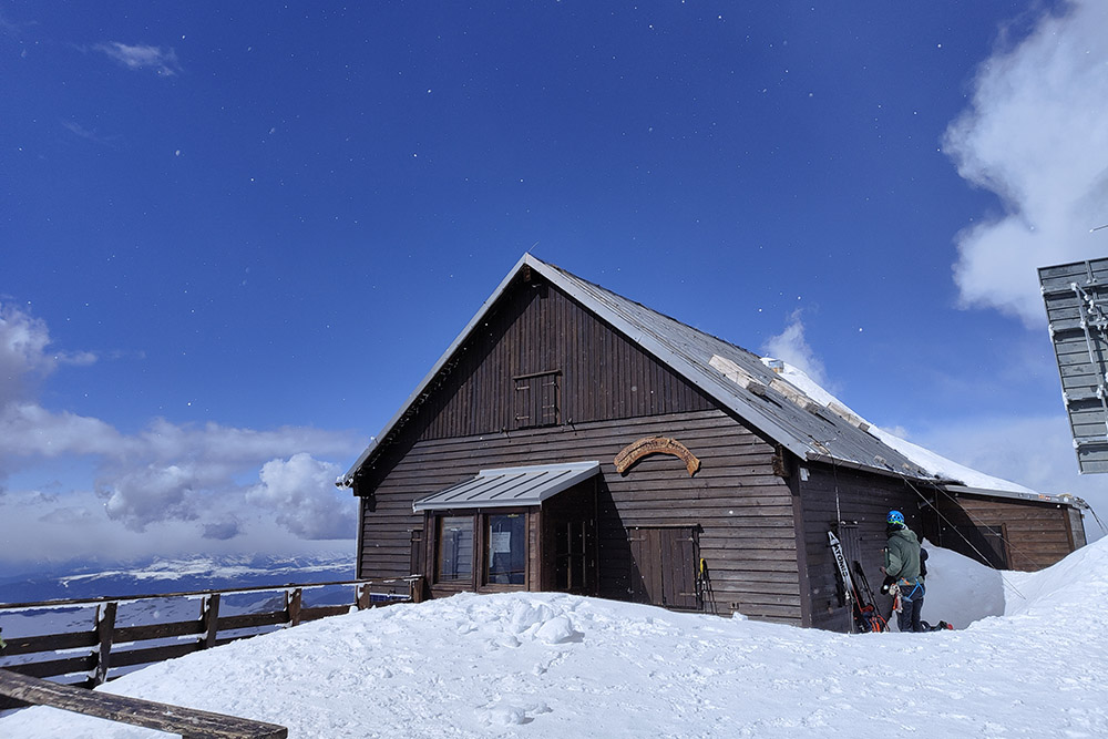
Rifugio Capanna Piz Fassa
Vista spettacolare sulla Marmolada
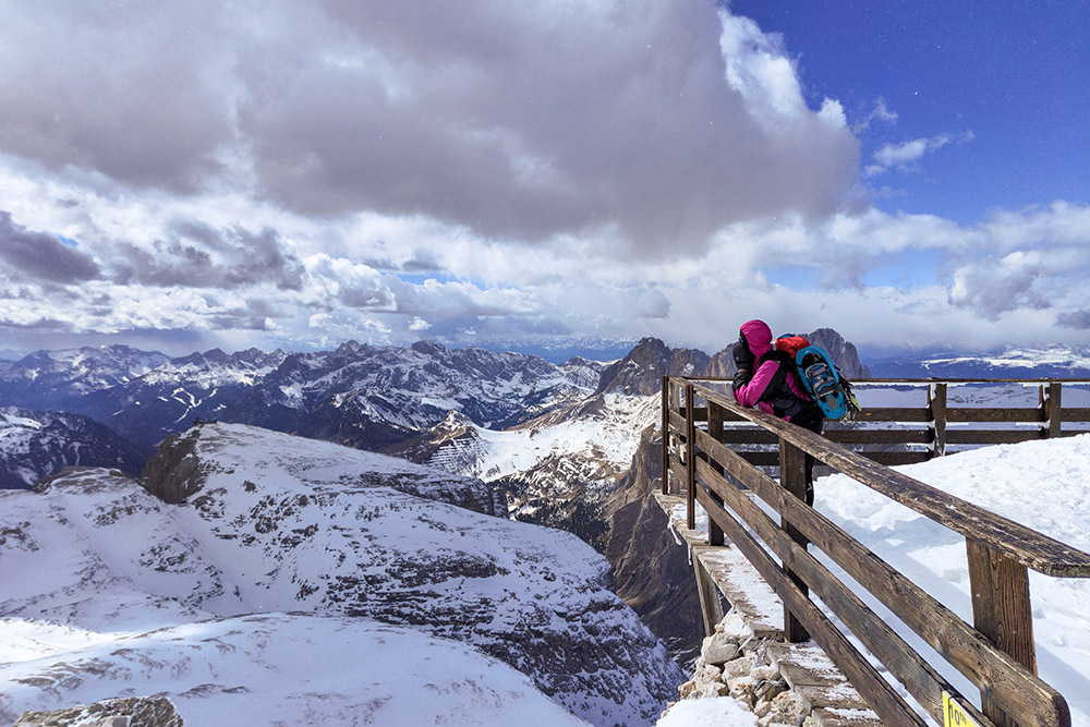
In contemplazione del fantastico panorama
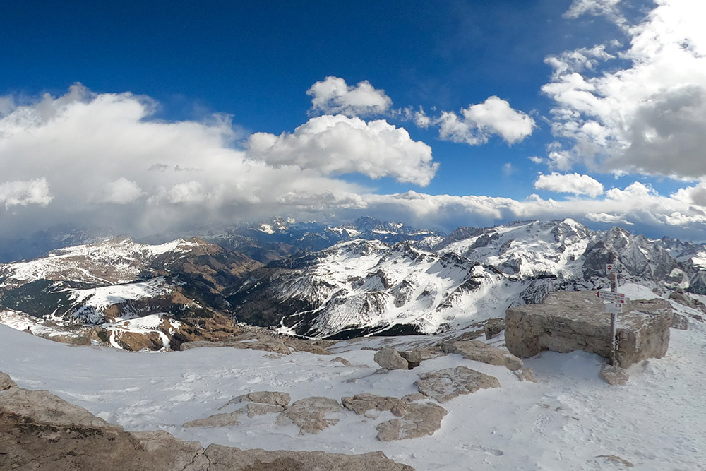
Panorama verso est
Ritorno alla Forcella Pordoi
Ultimo sguardo al Piz Boè
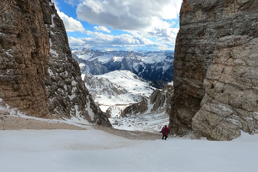
Si scende facendo massima attenzione a non cadere
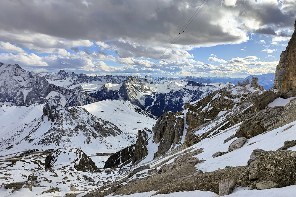
Ovunque si guardi bellissime cime innevate


